Elevation map of Samegrelo-Upper Svaneti, Georgia
Location: Georgia >
Longitude: 42.1689362
Latitude: 42.7352247
Elevation: 1459m / 4787feet
Barometric Pressure: 85KPa
Elevation Map:
Satellite Map:
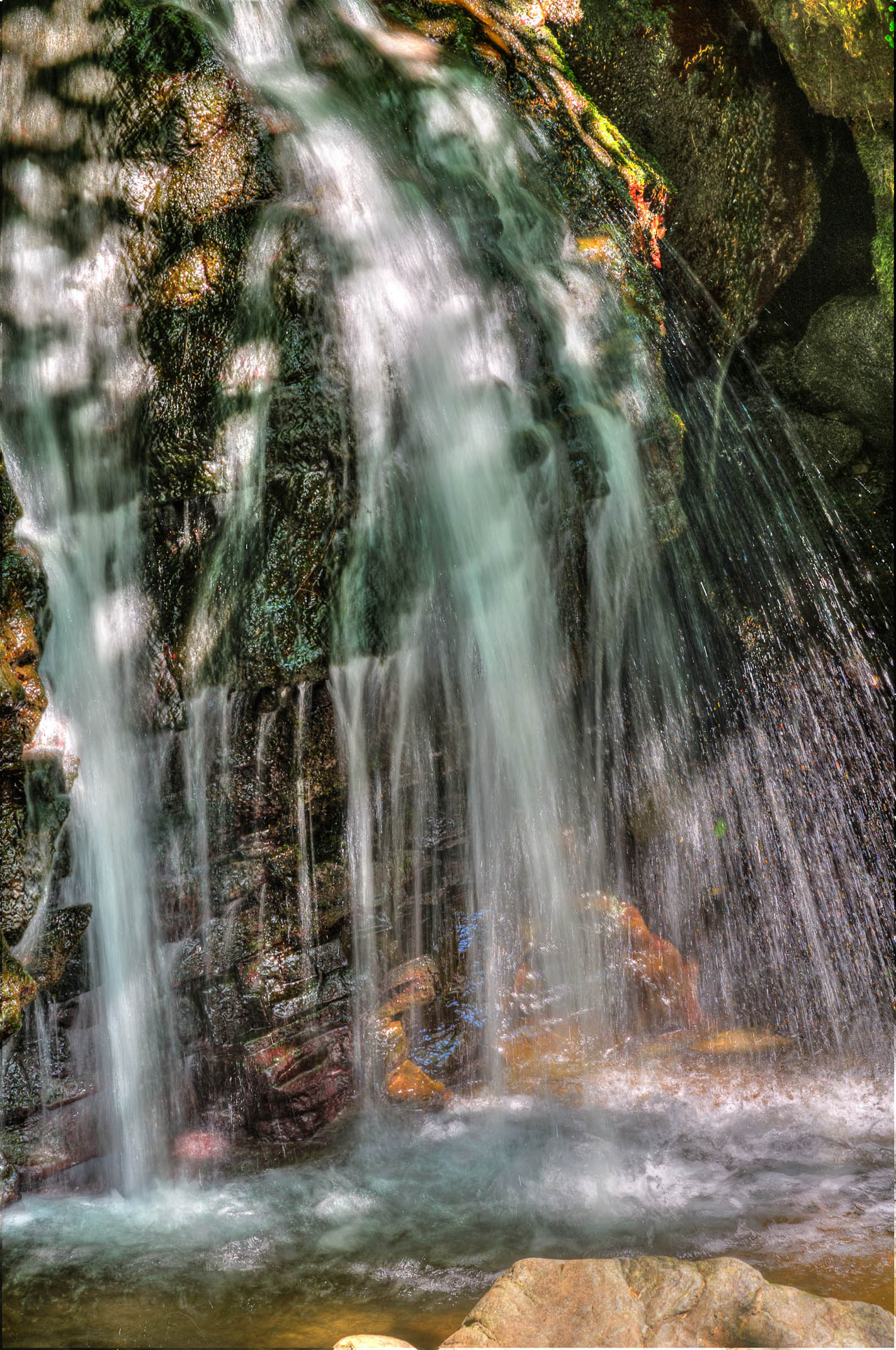
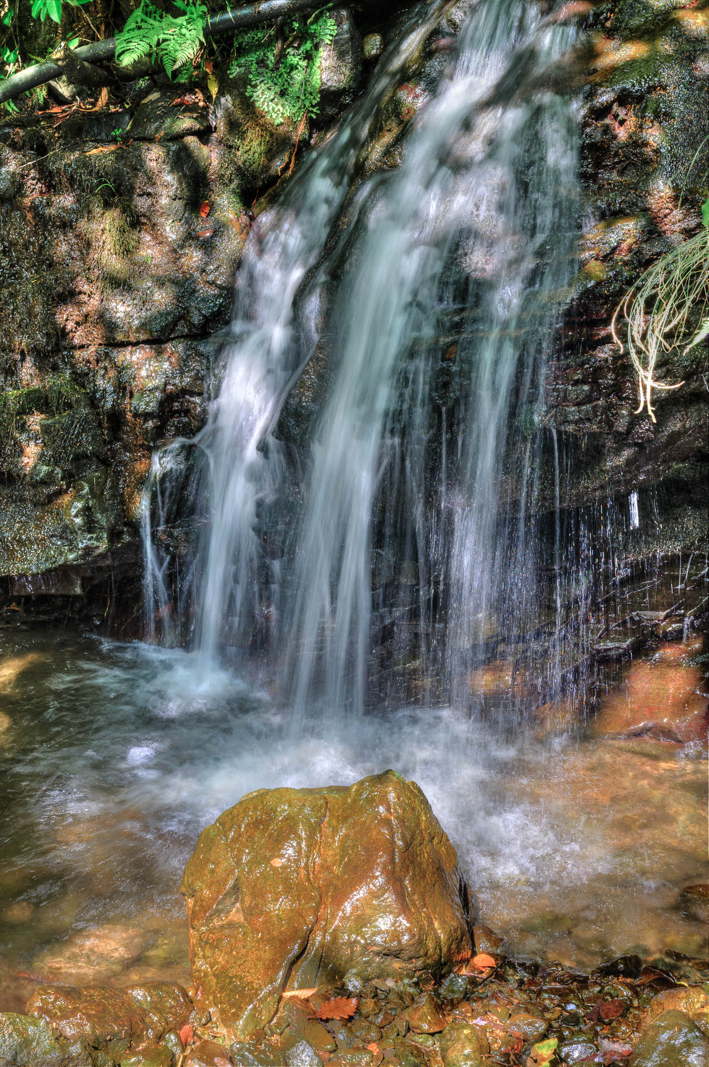
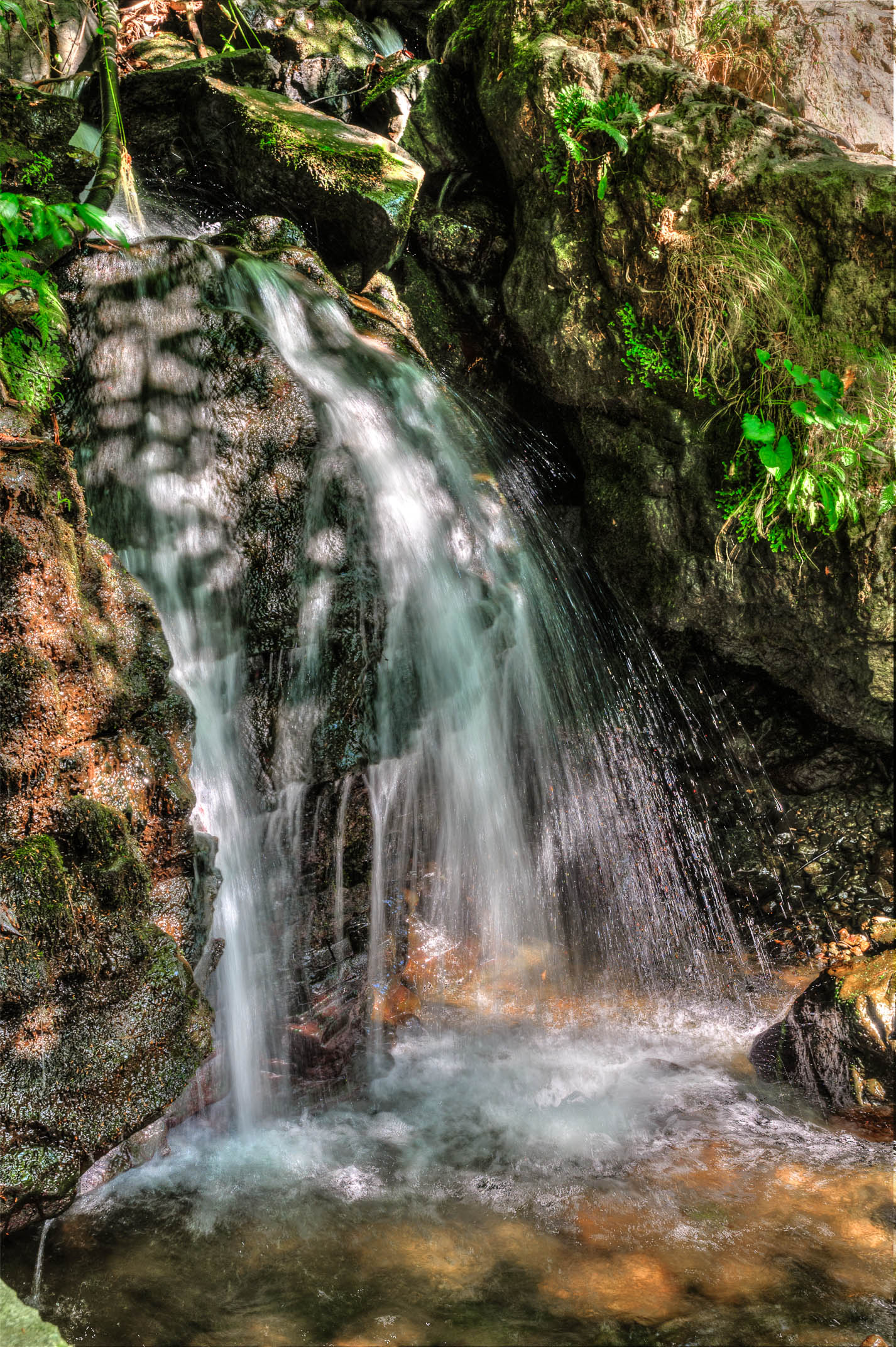
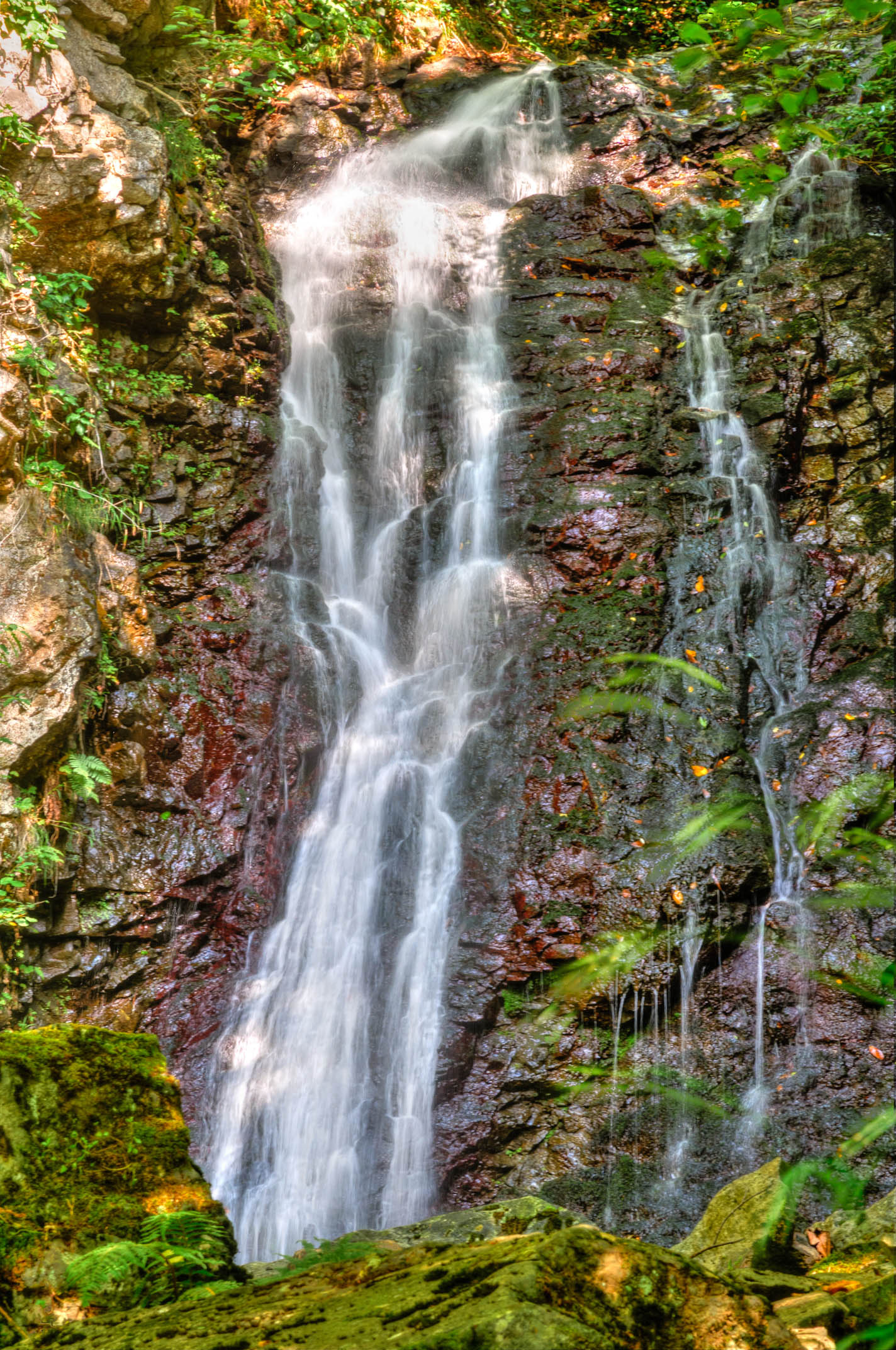
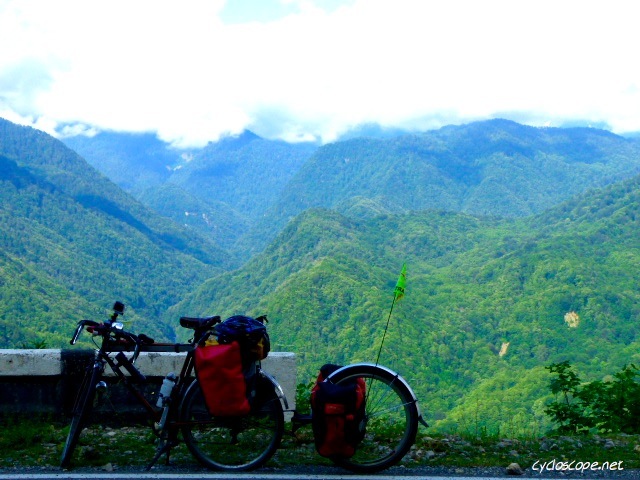
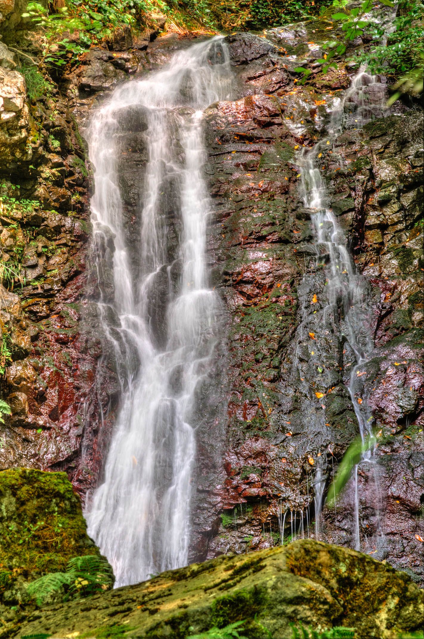
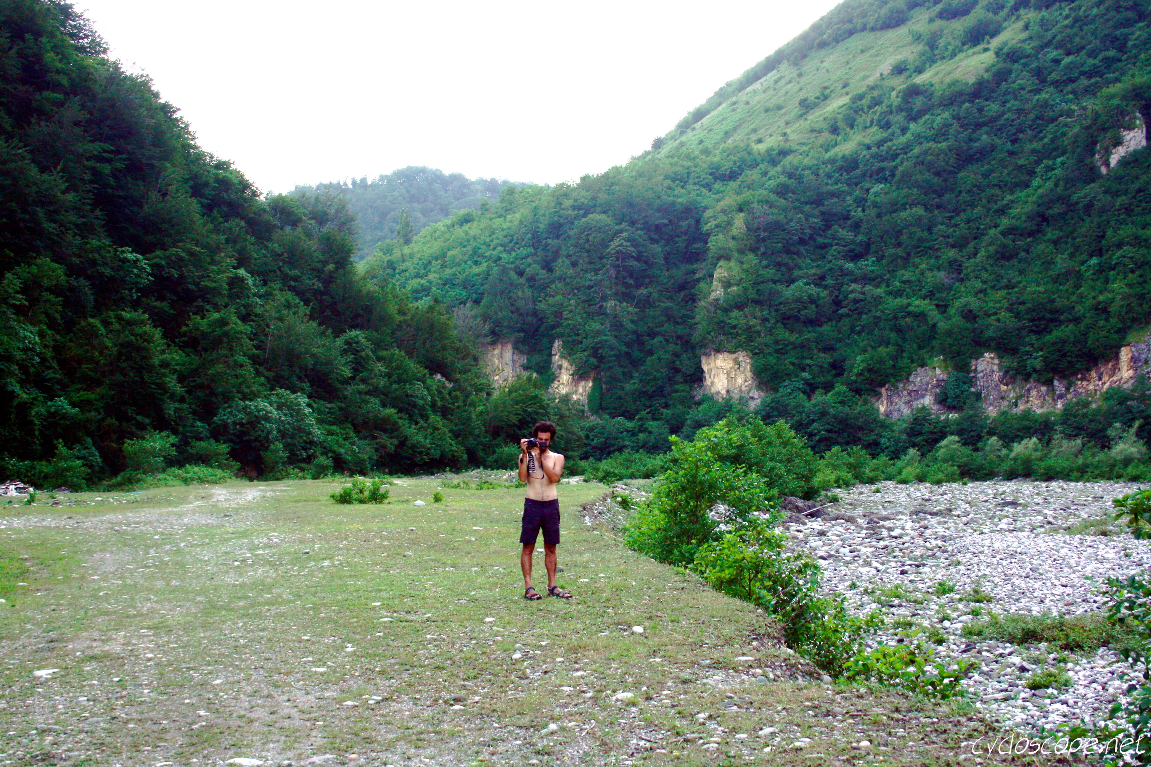
Related Photos:

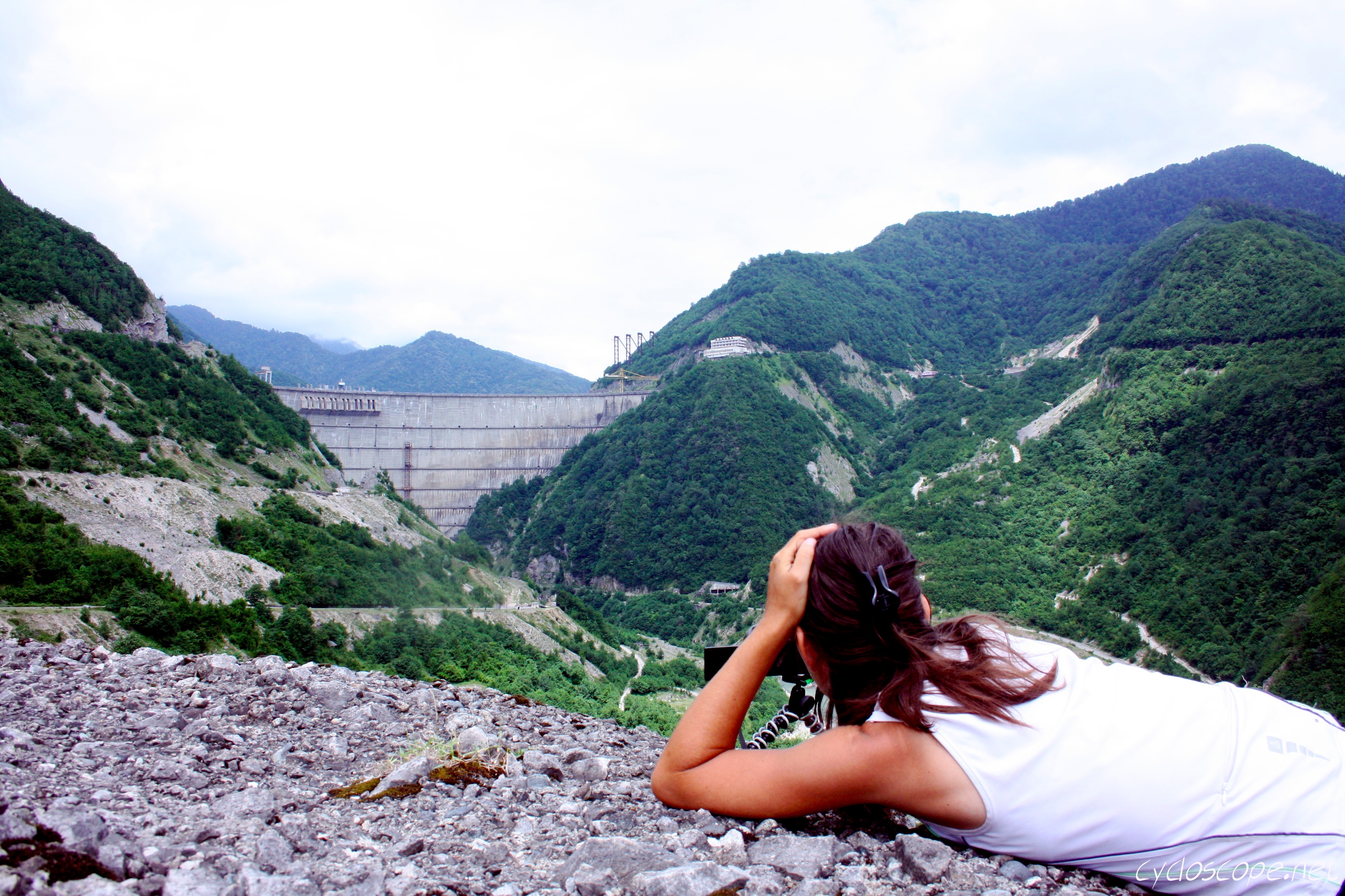
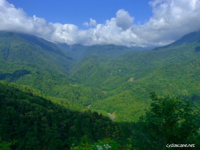
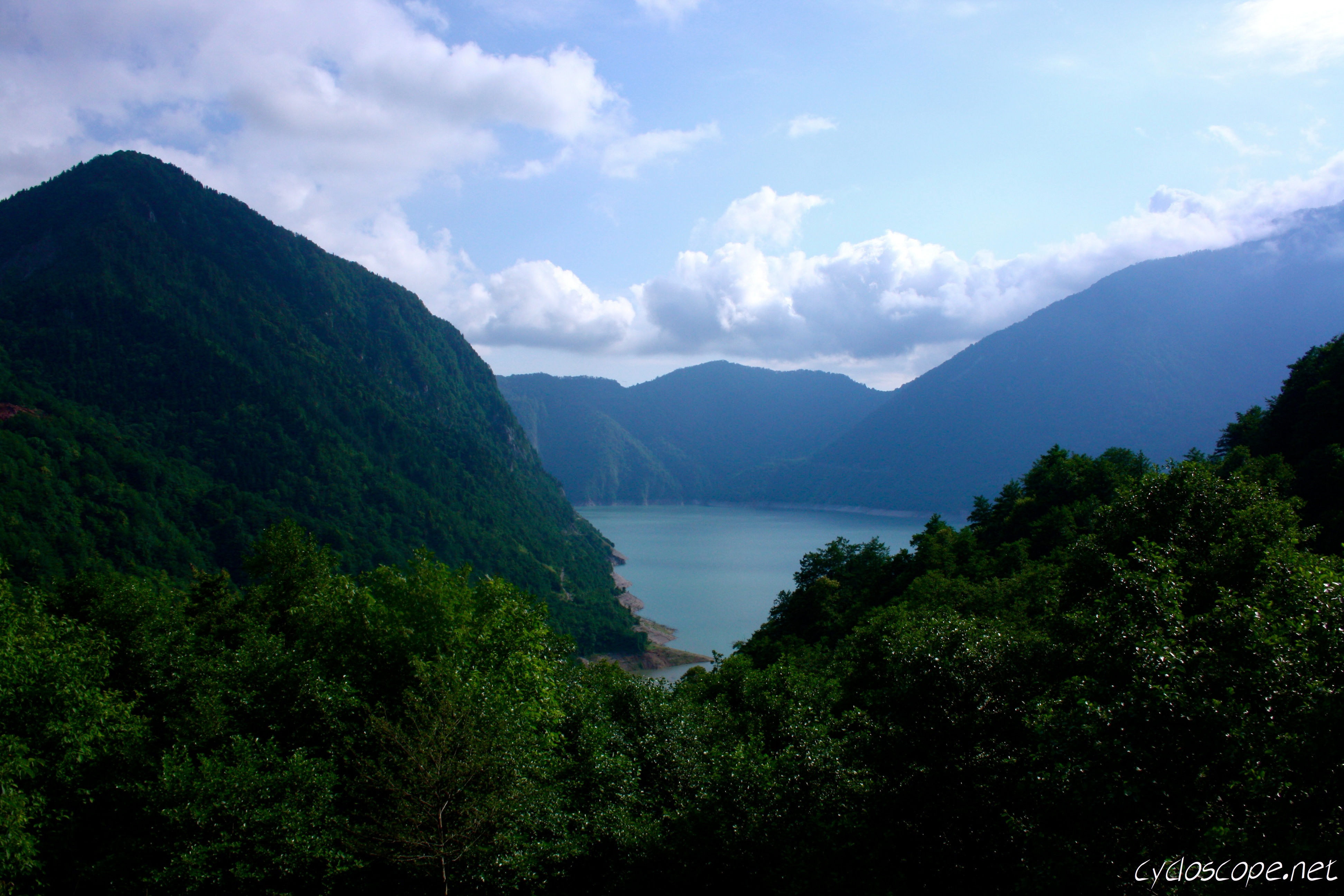
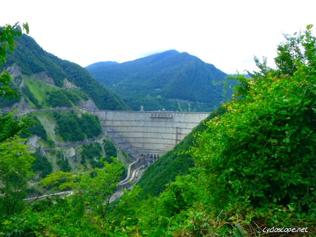
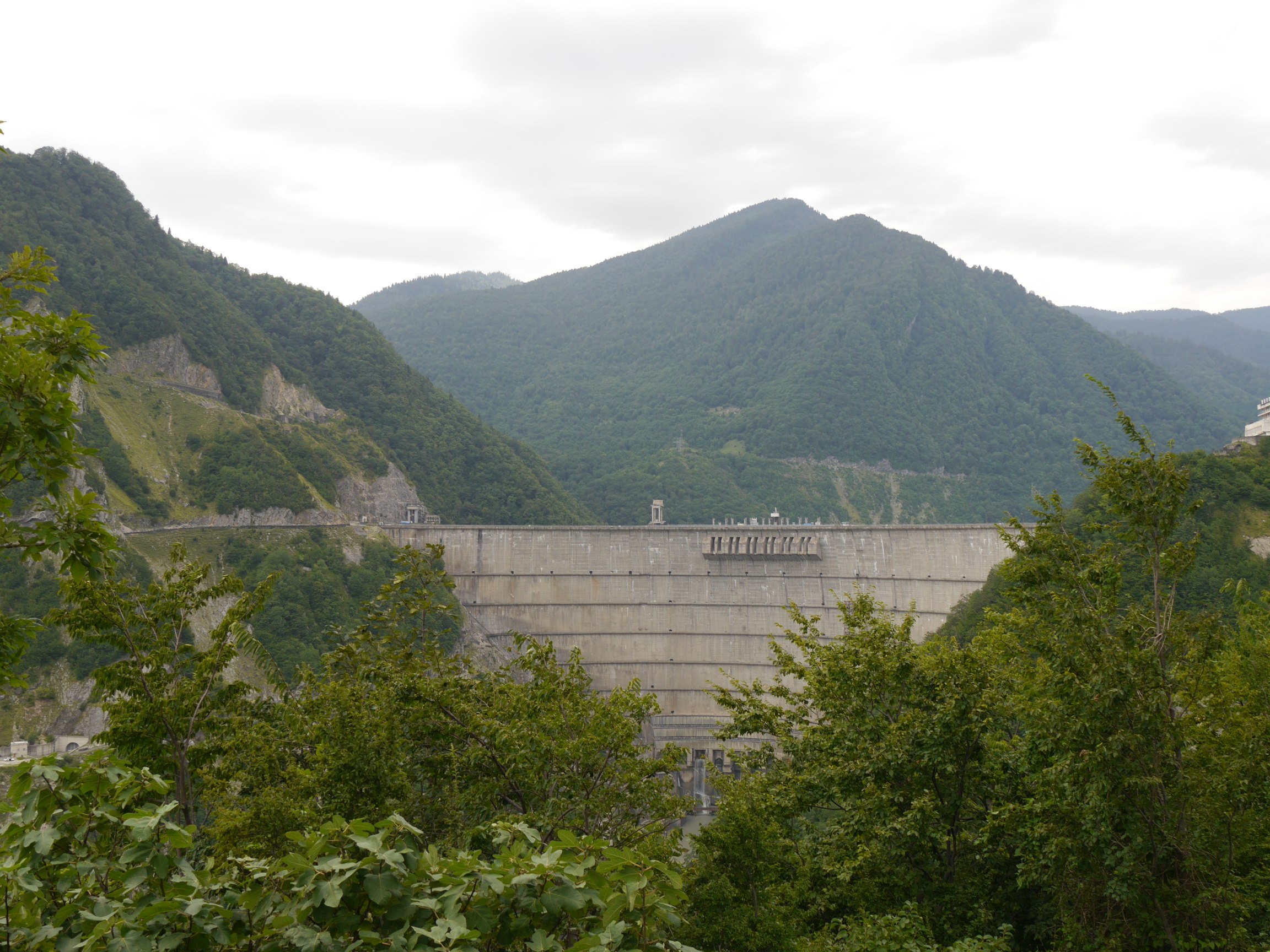
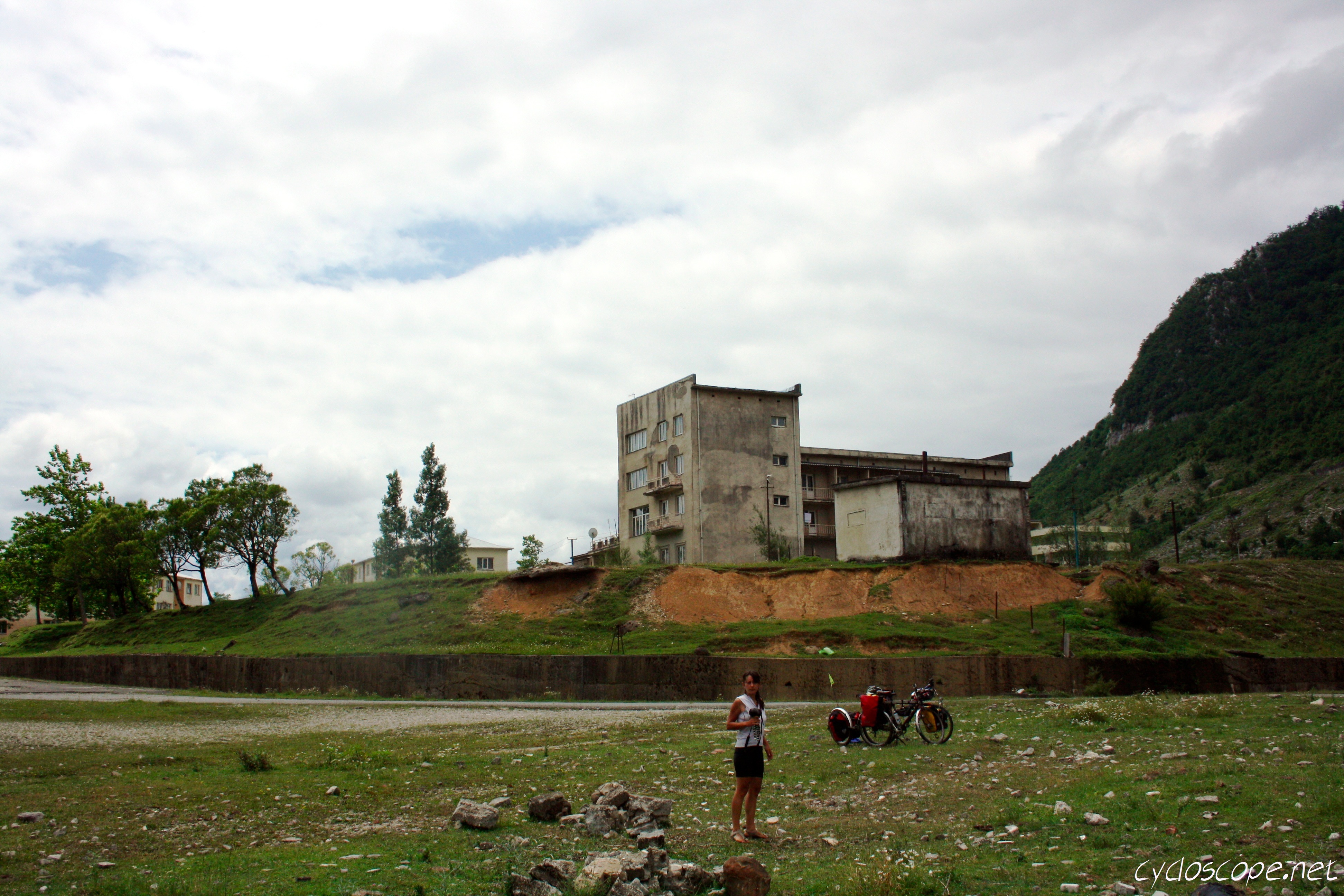
Enguri Power Station
GE-3728-20120910And4more.jpg
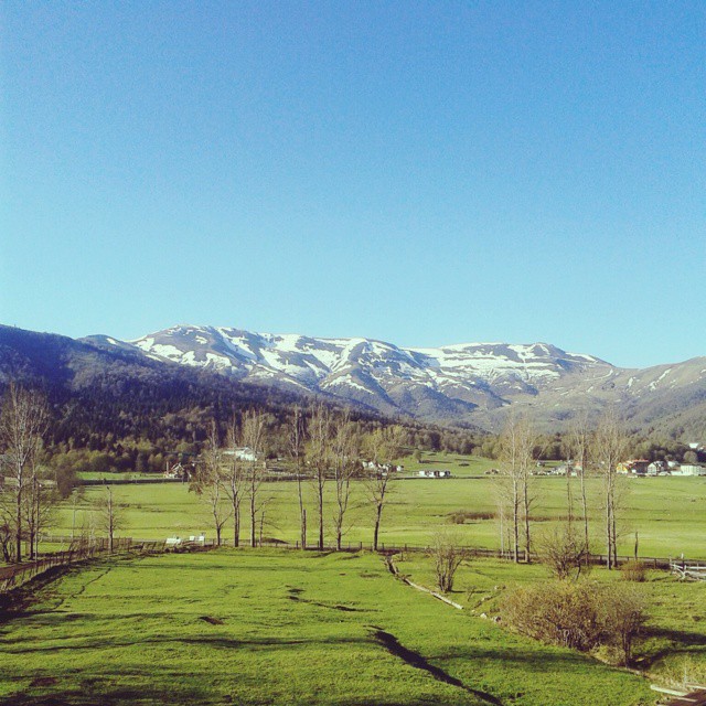
#mountain #openair #sunshine #spring
GE-3748-20120910And4more.jpg
GE-3733-20120910And4more.jpg
GE-3723-20120910And4more.jpg
Georgia_Enguri - 17_©
GE-3743-20120910And4more.jpg
Georgia_Enguri - 10_©
Georgia_Enguri - 18_©

Georgia_Enguri - 27_©
Georgia_Enguri - 15_©
Georgia_Enguri - 21_©
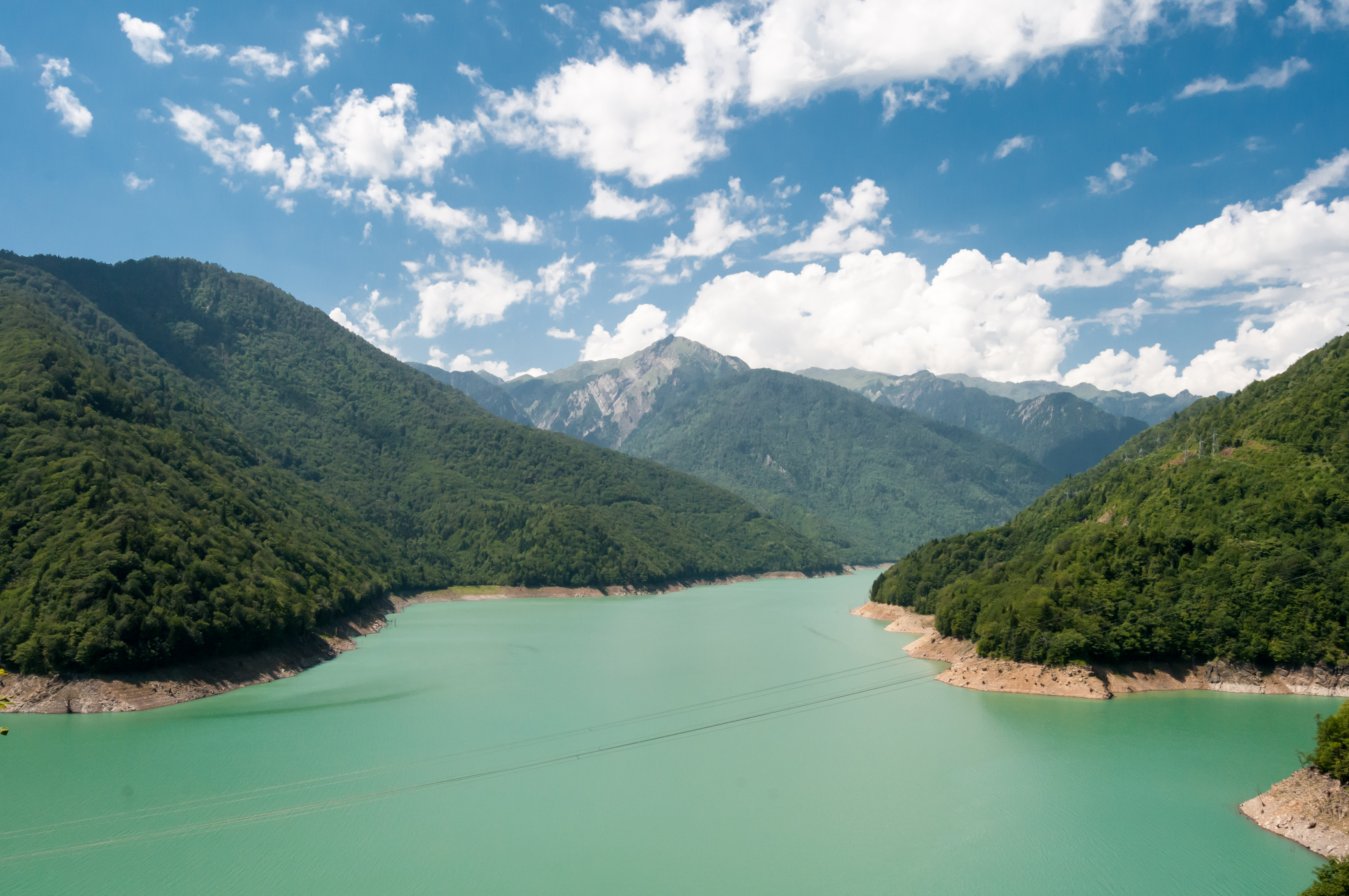
Ivari Reservoir
_DSC5641.jpg
Georgia_Enguri - 09_©
Georgia_Enguri - 26_©
Topographic Map of Samegrelo-Upper Svaneti, Georgia
Find elevation by address:

Places in Samegrelo-Upper Svaneti, Georgia:
Places near Samegrelo-Upper Svaneti, Georgia:
Recent Searches:
- Elevation of Corso Fratelli Cairoli, 35, Macerata MC, Italy
- Elevation of Tallevast Rd, Sarasota, FL, USA
- Elevation of 4th St E, Sonoma, CA, USA
- Elevation of Black Hollow Rd, Pennsdale, PA, USA
- Elevation of Oakland Ave, Williamsport, PA, USA
- Elevation of Pedrógão Grande, Portugal
- Elevation of Klee Dr, Martinsburg, WV, USA
- Elevation of Via Roma, Pieranica CR, Italy
- Elevation of Tavkvetili Mountain, Georgia
- Elevation of Hartfords Bluff Cir, Mt Pleasant, SC, USA