Elevation of Sam Chuk District, Suphan Buri, Thailand
Location: Thailand > Suphan Buri >
Longitude: 100.035966
Latitude: 14.766408
Elevation: 15m / 49feet
Barometric Pressure: 101KPa
Elevation Map:
Satellite Map:
Related Photos:

_LAN0789

IMG_0072 2

Behind Sam Chuk 100 Years Market
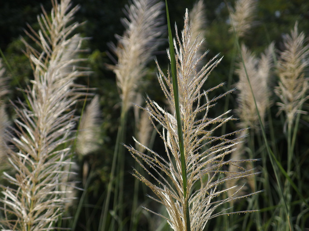
Grass Grasses Gras Gräser Nature Natur Thailand Asia Asien
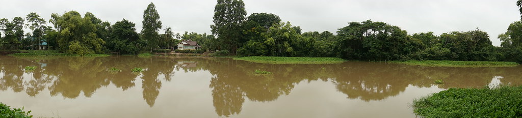
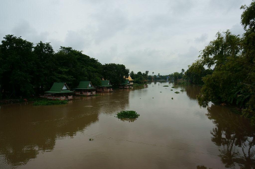
Pano Tha Chin

After rain
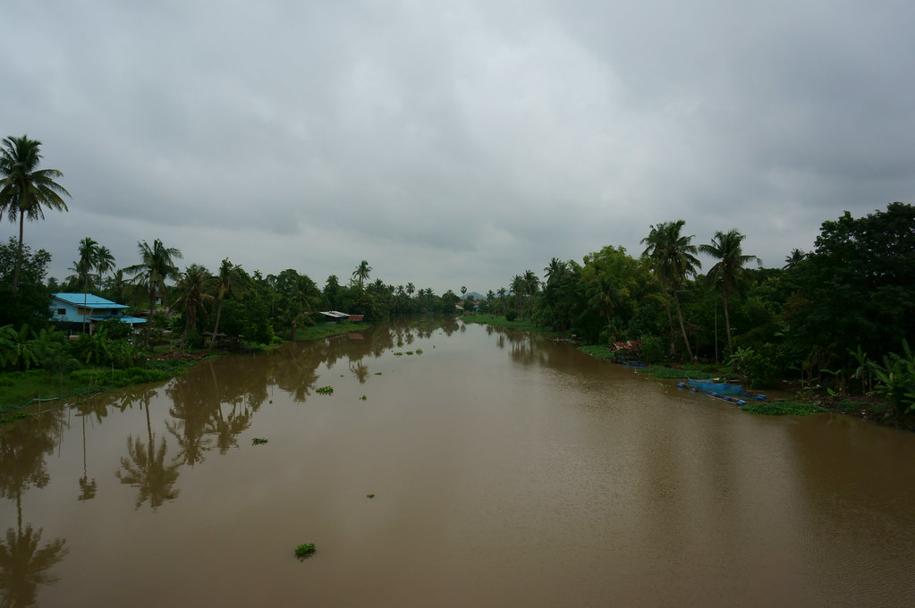
Tha Chin River
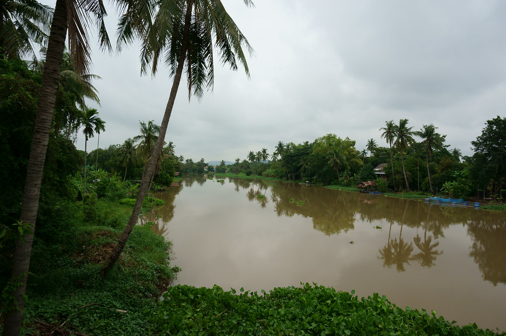
Tha Chin River
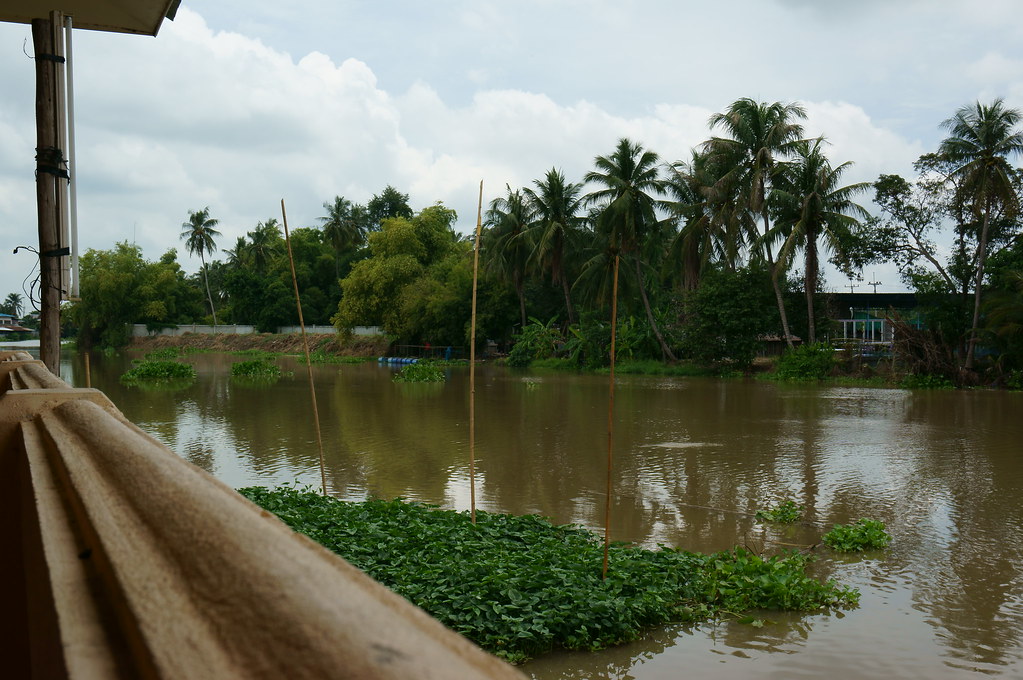
Tha Chin River
Tha Chin River
Topographic Map of Sam Chuk District, Suphan Buri, Thailand
Find elevation by address:

Places near Sam Chuk District, Suphan Buri, Thailand:
Don Chedi District
Phatthana Kan Chang Don Chedi
Suphan Buri
U Thong District
Mueang Sing Buri District
Sing Buri
Bang Man
Suphan Buri Provincial Land Office
ที่ว่าการอำเภออู่ทอง
U Thong
Bueng Wat Chan Sen
Phaya Nak
Song Phi Nong District
Chan Sen
Pracha Uthit
Takhli School
Sa Thale
Takhli Hospital
Takhli Municipal Provincial Waterworks Authority
Pracha Takhli Road
Recent Searches:
- Elevation of Congressional Dr, Stevensville, MD, USA
- Elevation of Bellview Rd, McLean, VA, USA
- Elevation of Stage Island Rd, Chatham, MA, USA
- Elevation of Shibuya Scramble Crossing, 21 Udagawacho, Shibuya City, Tokyo -, Japan
- Elevation of Jadagoniai, Kaunas District Municipality, Lithuania
- Elevation of Pagonija rock, Kranto 7-oji g. 8"N, Kaunas, Lithuania
- Elevation of Co Rd 87, Jamestown, CO, USA
- Elevation of Tenjo, Cundinamarca, Colombia
- Elevation of Côte-des-Neiges, Montreal, QC H4A 3J6, Canada
- Elevation of Bobcat Dr, Helena, MT, USA