Elevation of Salt Creek Township, OH, USA
Location: United States > Ohio > Holmes County >
Longitude: -81.811505
Latitude: 40.6379977
Elevation: 359m / 1178feet
Barometric Pressure: 97KPa
Elevation Map:
Satellite Map:
Related Photos:

eBird Doc: American Pipit

eBird Doc: Ohio wintering Pectoral Sandpiper
Blueberry B and B on Dec. 31st, 2009
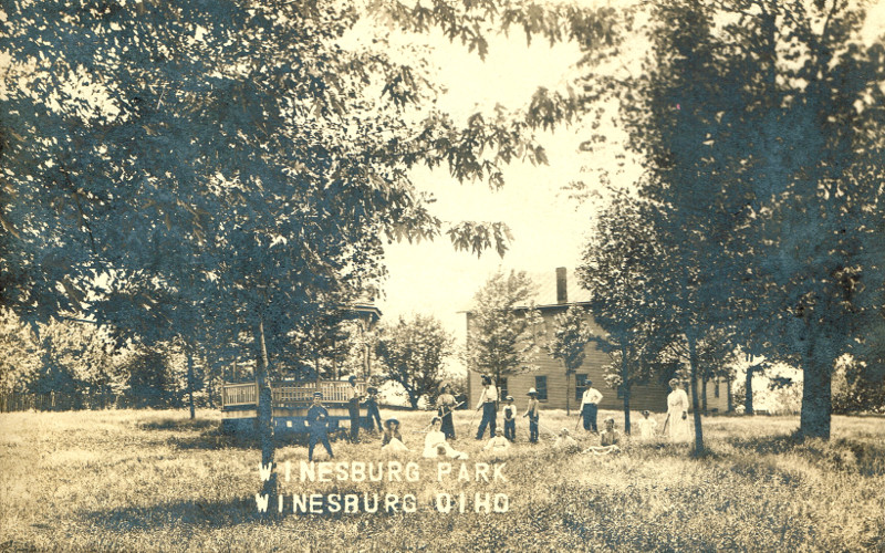
Winesburg, Holmes County Ohio, Park

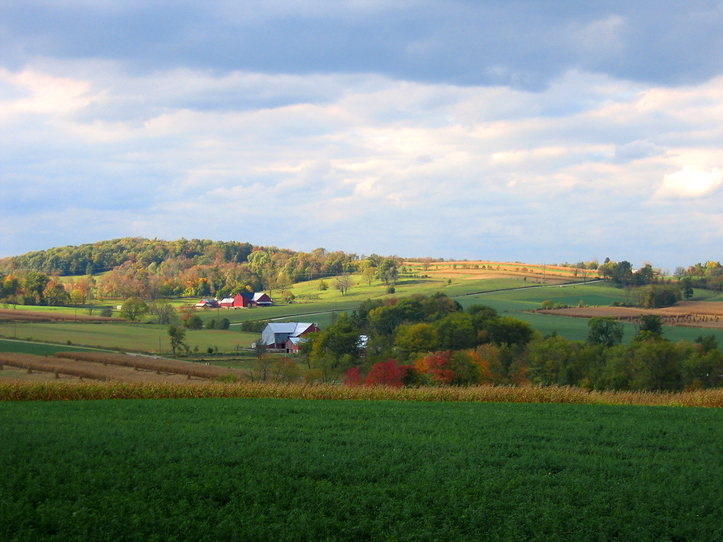
Amish Country, Ohio
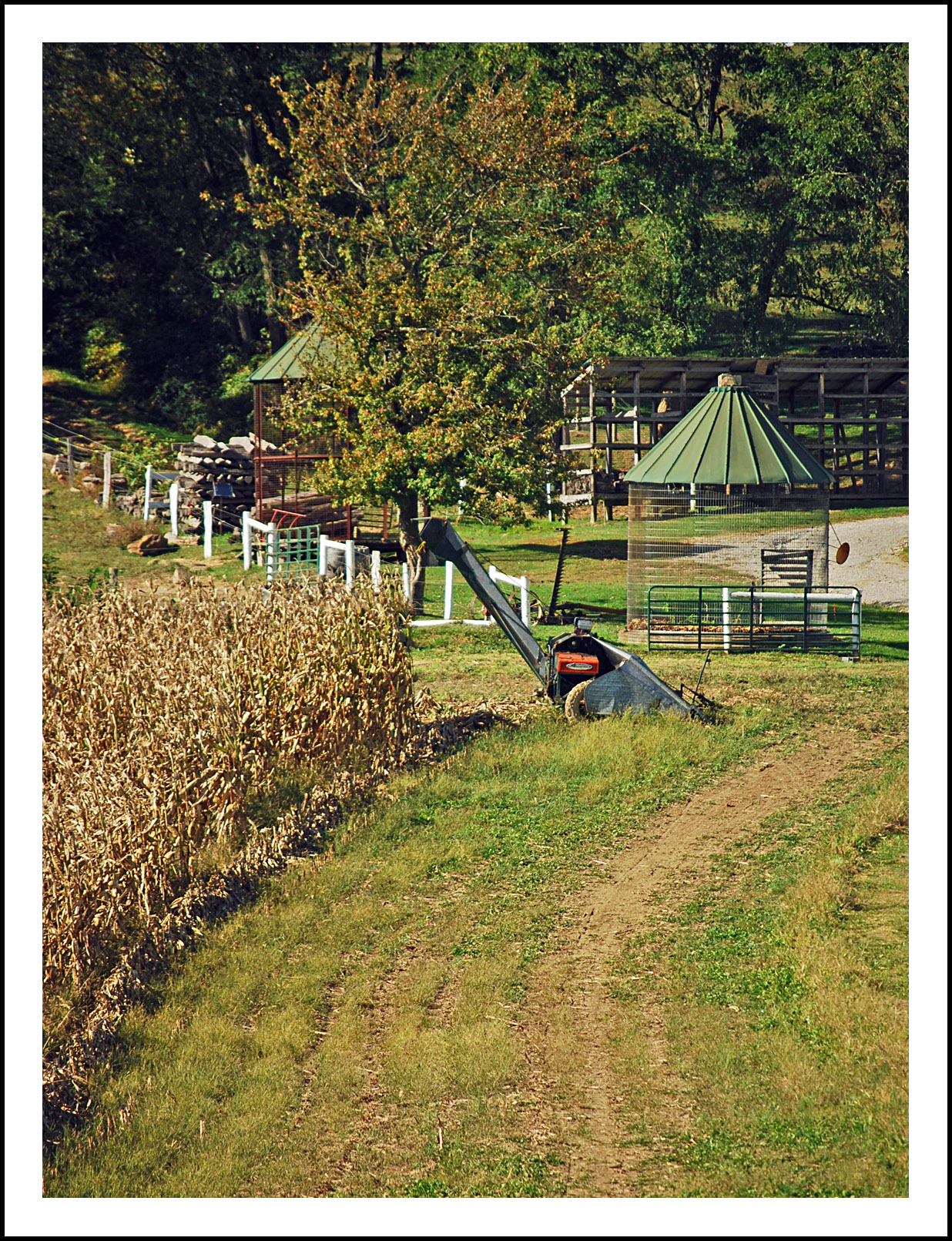
Awaiting the harvest in Amish country

Winesburg, Holmes County Ohio, East Main St Looking E
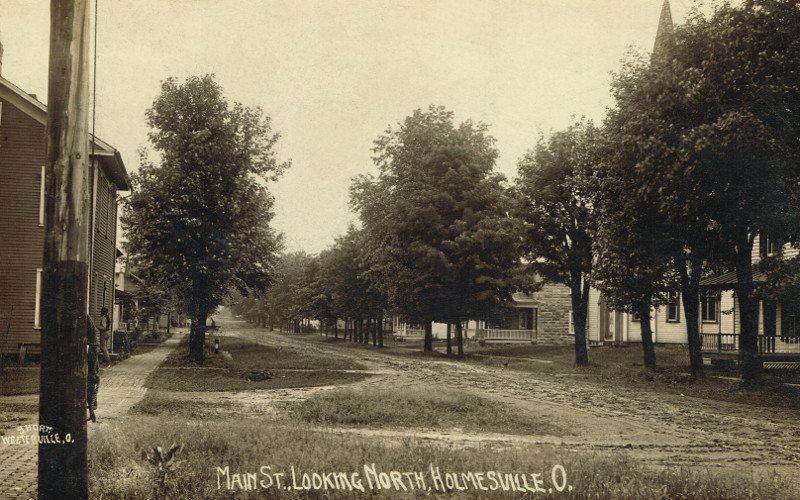
Holmesville, Holmes County Ohio, East Main St Looking W
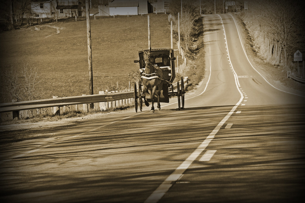
The trots...
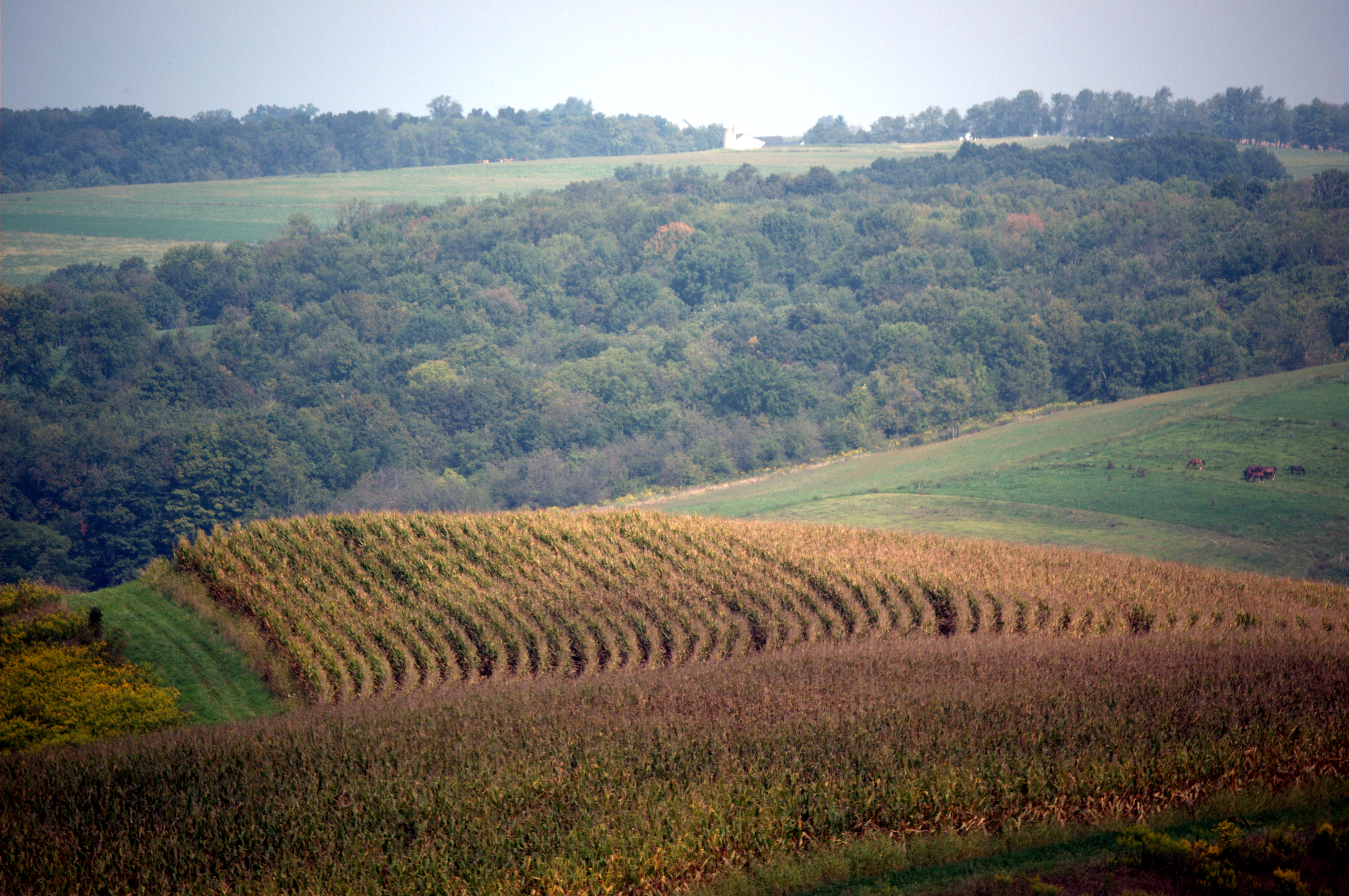
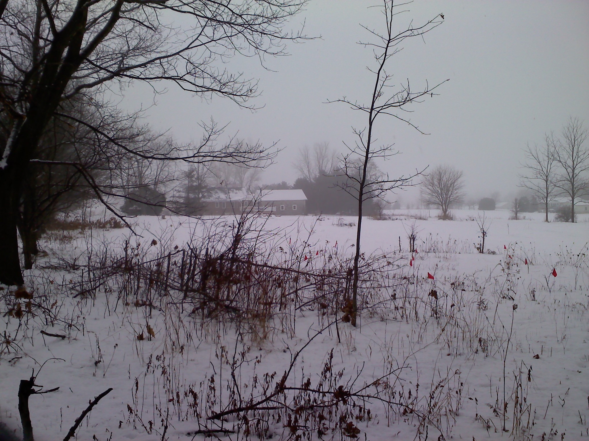
Farm Field
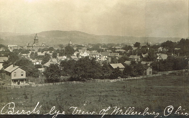
Millersburg, Holmes County Ohio, Birds Eye View

eBird Doc: Pectoral Sandpiper wintering in Ohio

eBird Doc: Ohio Rock Wren

Holiday Bokeh

back view of The Walrus ring for Etsy

Amish Country, Ohio

eBird Doc: Ohio Rock Wren

View from Der Dutchman

The old rugged...door..
Millersburg, Holmes County Ohio, St Peters Catholic Church

The Holmes County Courthouse

1.104

The Pinwheel Farmer

Can't hold her together
Amish Farm
A Fine Sunday Evening In Ohio

sunset time

164:366:Pastoral

IMG_0253 - 2010-07-31 at 15-47-57 - Version 2

Sunrise Walk | Zincks 2013

IMG_0052 - 2010-07-31 at 13-46-21 - Version 2

Pruning cloud swirls.jpg

IMG_0548 - 2010-07-31 at 20-11-18 - Version 2
June Raindrops.jpg

IMG_0092 - 2010-07-31 at 13-58-52 - Version 2

Amish Farm, Millersburg, Ohio, USA.
Puffs and bundles....

Sunrise Walk | Zincks 2013

Sunrise Walk | Zincks 2013
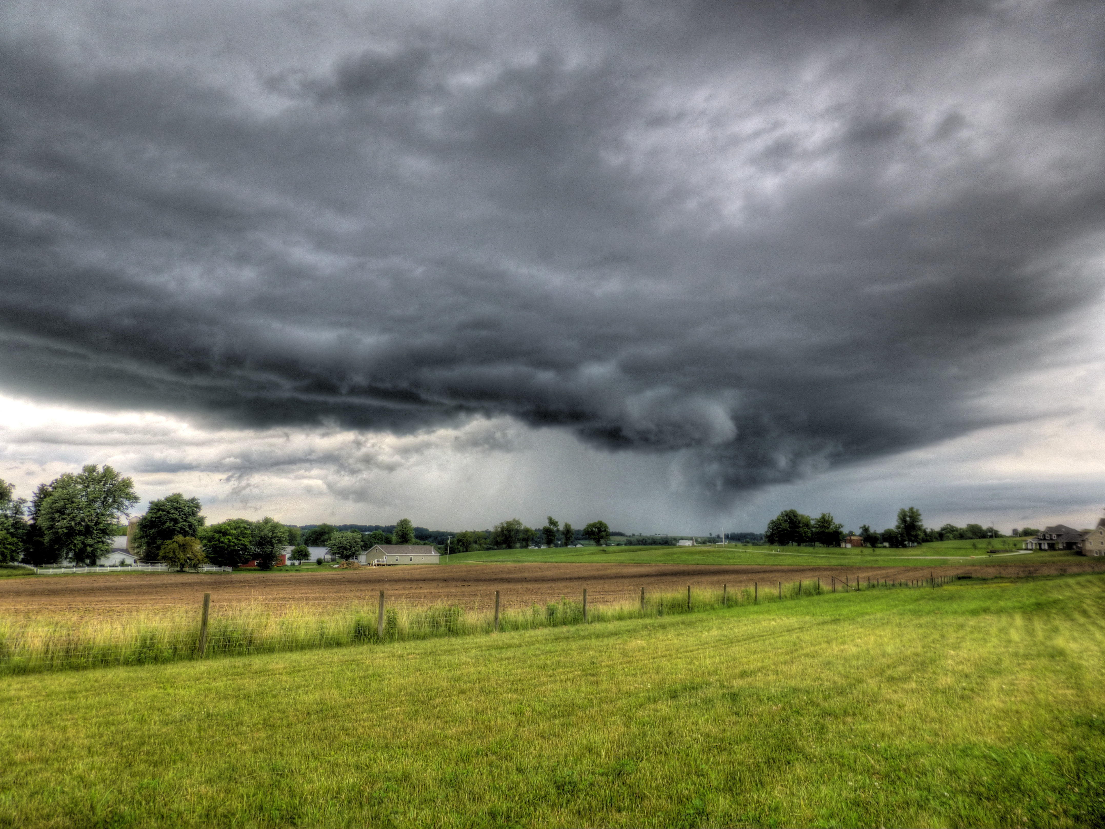
Storm on Horizon
Wayne County Ohio
Topographic Map of Salt Creek Township, OH, USA
Find elevation by address:

Places in Salt Creek Township, OH, USA:
Fredericksburg
Township Rd, Millersburg, OH, USA
OH-, Millersburg, OH, USA
Township Rd, Millersburg, OH, USA
Jackson St, Millersburg, OH, USA
Mount Hope
Places near Salt Creek Township, OH, USA:
Mt. Hope Auction
Jackson St, Millersburg, OH, USA
Mount Hope
PR, Fredericksburg, OH, USA
Township Rd, Millersburg, OH, USA
Fredericksburg
Paint Township
Dover Rd, Apple Creek, OH, USA
Apple Creek
Winesburg
Main, Mt Eaton, OH, USA
East Union Township
1089 Township Rd 660
Sugar Creek Township
5681 Massillon Rd
Wilmot
Camp Road Northwest
13517 315
Elton St SW, Navarre, OH, USA
Stanwood St SW, Navarre, OH, USA
Recent Searches:
- Elevation of Corso Fratelli Cairoli, 35, Macerata MC, Italy
- Elevation of Tallevast Rd, Sarasota, FL, USA
- Elevation of 4th St E, Sonoma, CA, USA
- Elevation of Black Hollow Rd, Pennsdale, PA, USA
- Elevation of Oakland Ave, Williamsport, PA, USA
- Elevation of Pedrógão Grande, Portugal
- Elevation of Klee Dr, Martinsburg, WV, USA
- Elevation of Via Roma, Pieranica CR, Italy
- Elevation of Tavkvetili Mountain, Georgia
- Elevation of Hartfords Bluff Cir, Mt Pleasant, SC, USA