Elevation of Salmas, West Azerbaijan Province, Iran
Location: Iran > West Azerbaijan Province >
Longitude: 44.770551
Latitude: 38.2021406
Elevation: 1381m / 4531feet
Barometric Pressure: 86KPa
Elevation Map:
Satellite Map:
Related Photos:
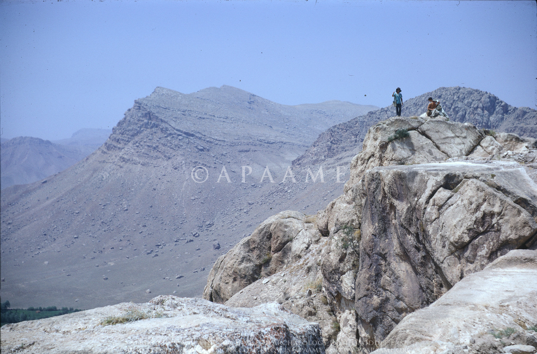
Haftavan Tepe (and vicinity), Azerbaijan, Iran
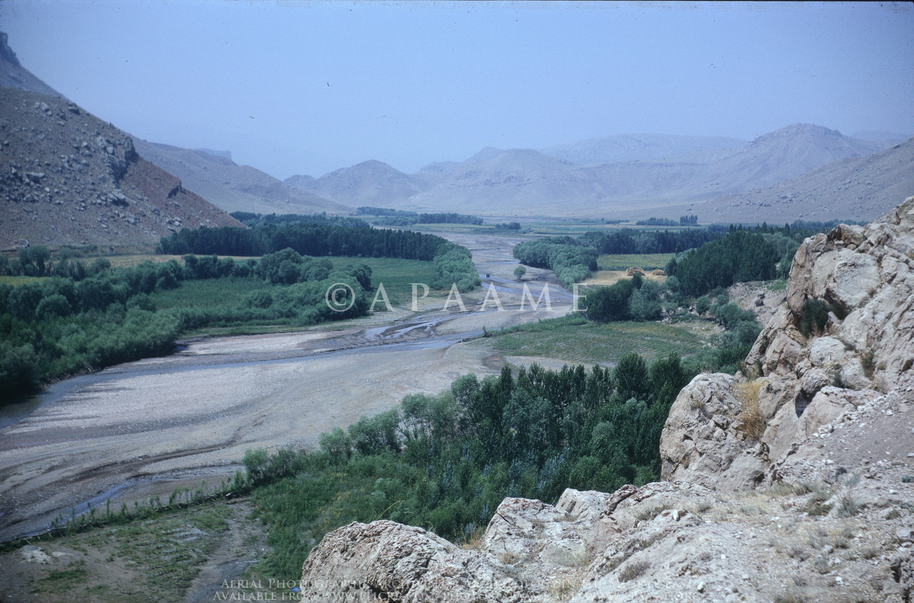
Haftavan Tepe (and vicinity), Azerbaijan, Iran

Haftavan Tepe (and vicinity), Azerbaijan, Iran
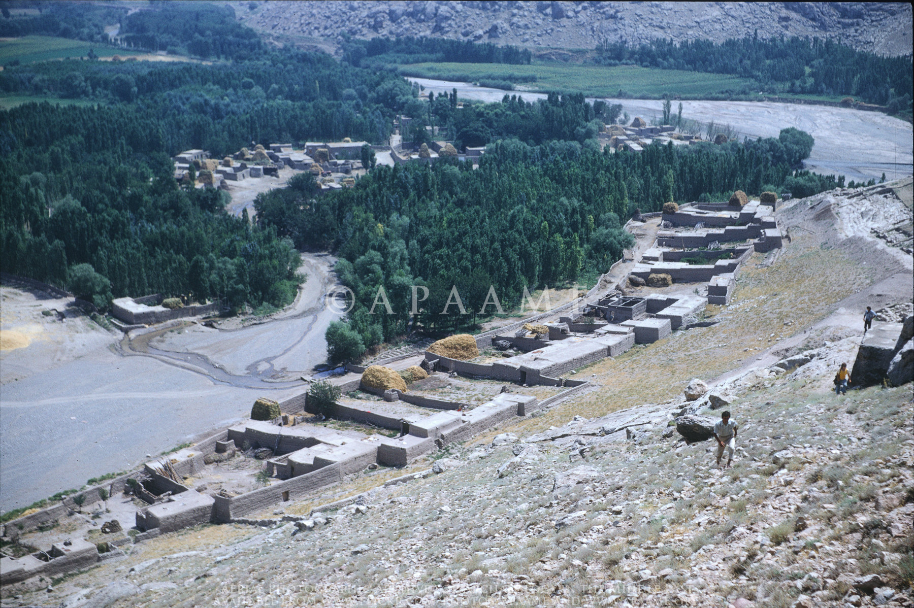
Haftavan Tepe (and vicinity), Azerbaijan, Iran
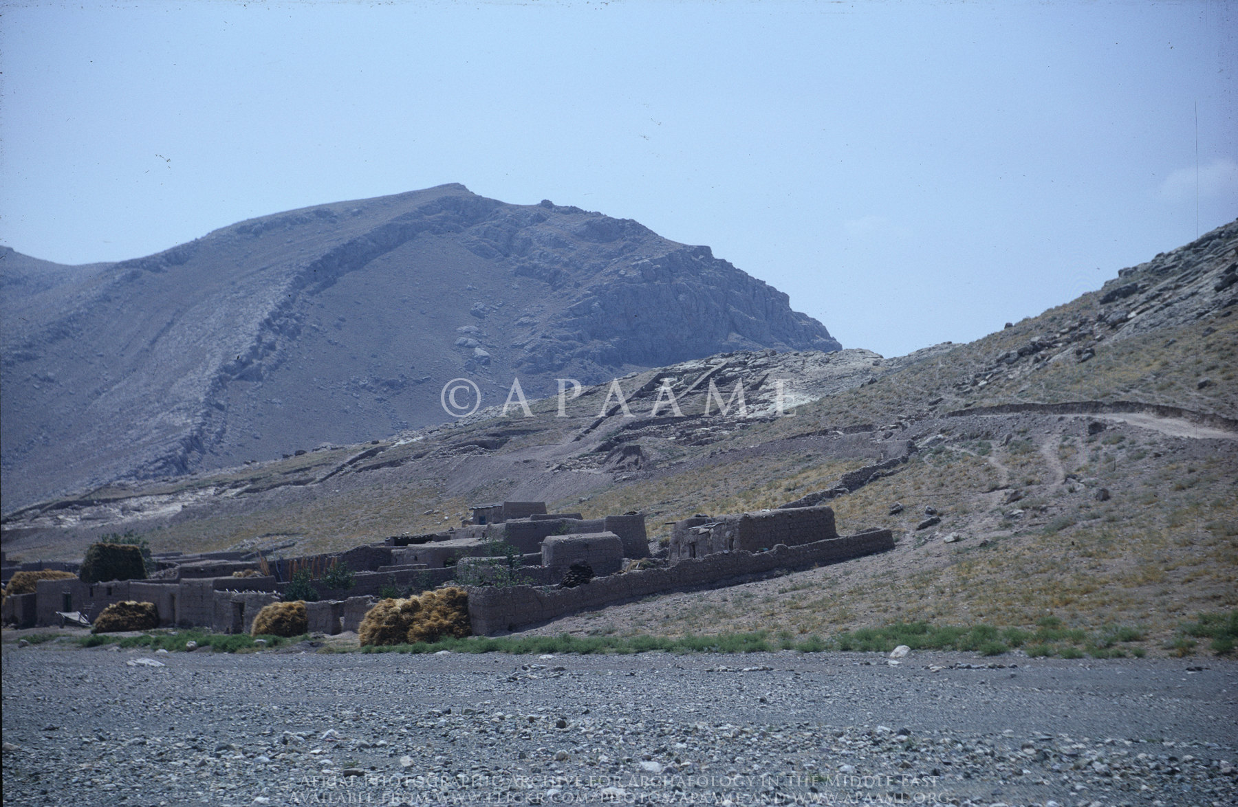
Haftavan Tepe (and vicinity), Azerbaijan, Iran
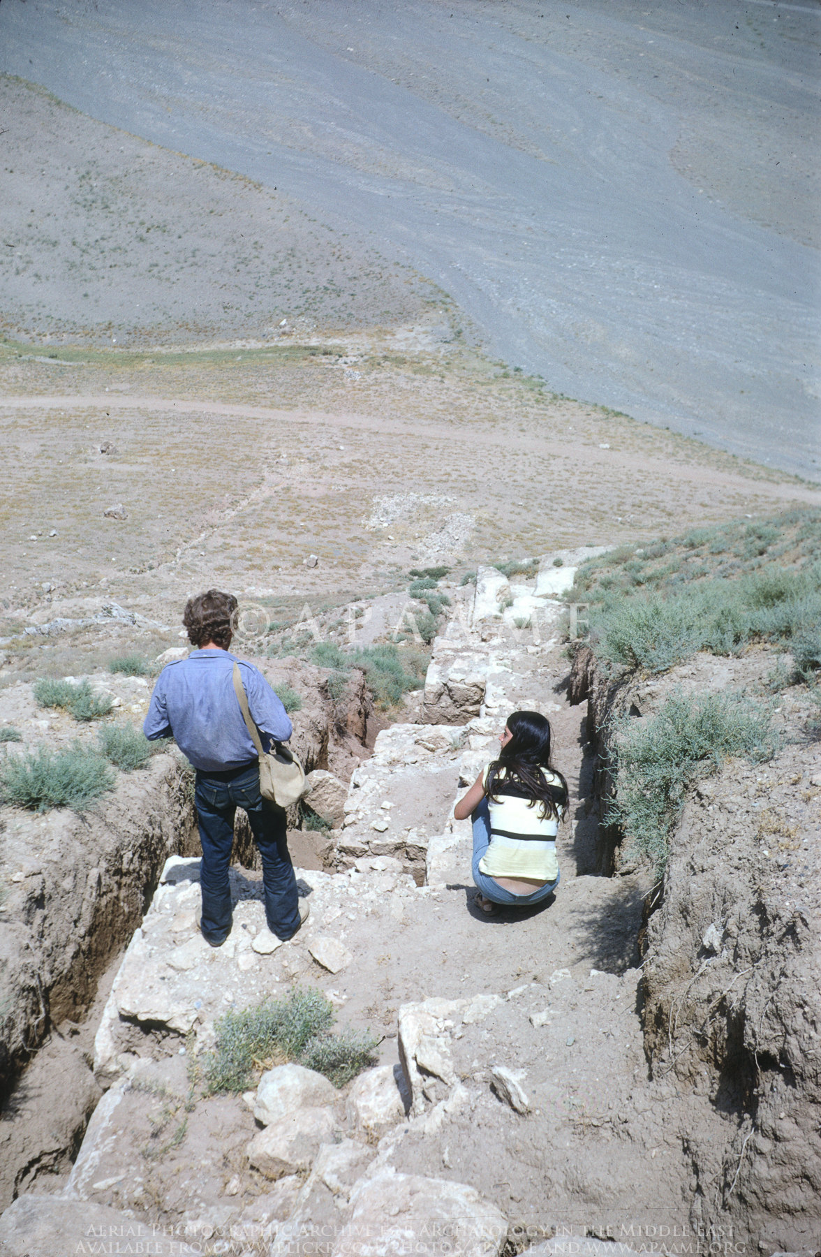
Haftavan Tepe (and vicinity), Azerbaijan, Iran

Ukraine International Airlines: VGML KIA-KBP
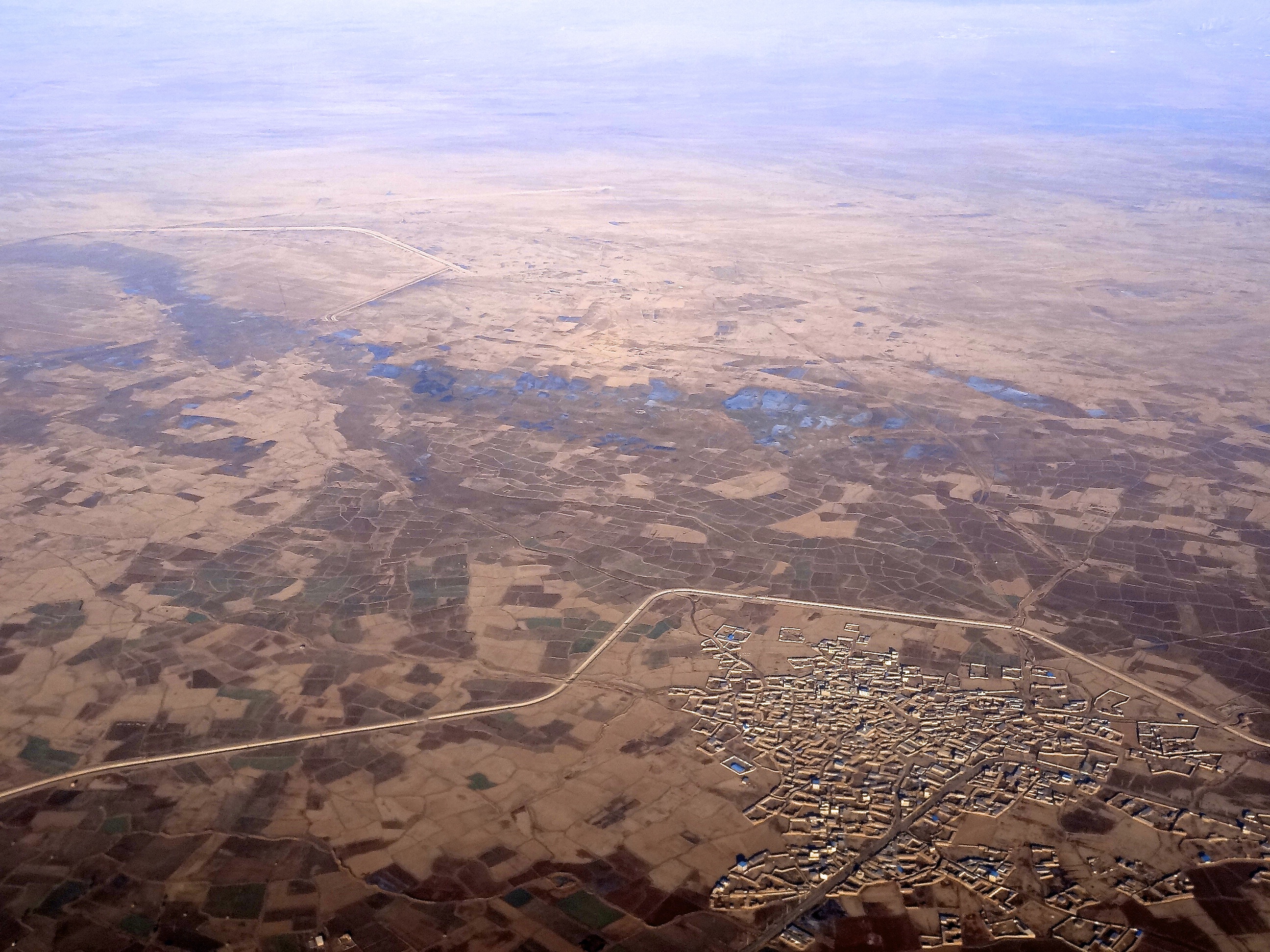
Iran from above
Salmas da bir gün
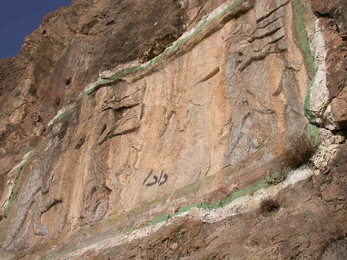
Katibe KhanTakhti
Topographic Map of Salmas, West Azerbaijan Province, Iran
Find elevation by address:

Places near Salmas, West Azerbaijan Province, Iran:
Recent Searches:
- Elevation of Shibuya Scramble Crossing, 21 Udagawacho, Shibuya City, Tokyo -, Japan
- Elevation of Jadagoniai, Kaunas District Municipality, Lithuania
- Elevation of Pagonija rock, Kranto 7-oji g. 8"N, Kaunas, Lithuania
- Elevation of Co Rd 87, Jamestown, CO, USA
- Elevation of Tenjo, Cundinamarca, Colombia
- Elevation of Côte-des-Neiges, Montreal, QC H4A 3J6, Canada
- Elevation of Bobcat Dr, Helena, MT, USA
- Elevation of Zu den Ihlowbergen, Althüttendorf, Germany
- Elevation of Badaber, Peshawar, Khyber Pakhtunkhwa, Pakistan
- Elevation of SE Heron Loop, Lincoln City, OR, USA