Elevation of Sallie St, Mayview, MO, USA
Location: United States > Missouri > Lafayette County >
Longitude: -93.832105
Latitude: 39.0510643
Elevation: 283m / 928feet
Barometric Pressure: 98KPa
Elevation Map:
Satellite Map:
Related Photos:

Monster Bus
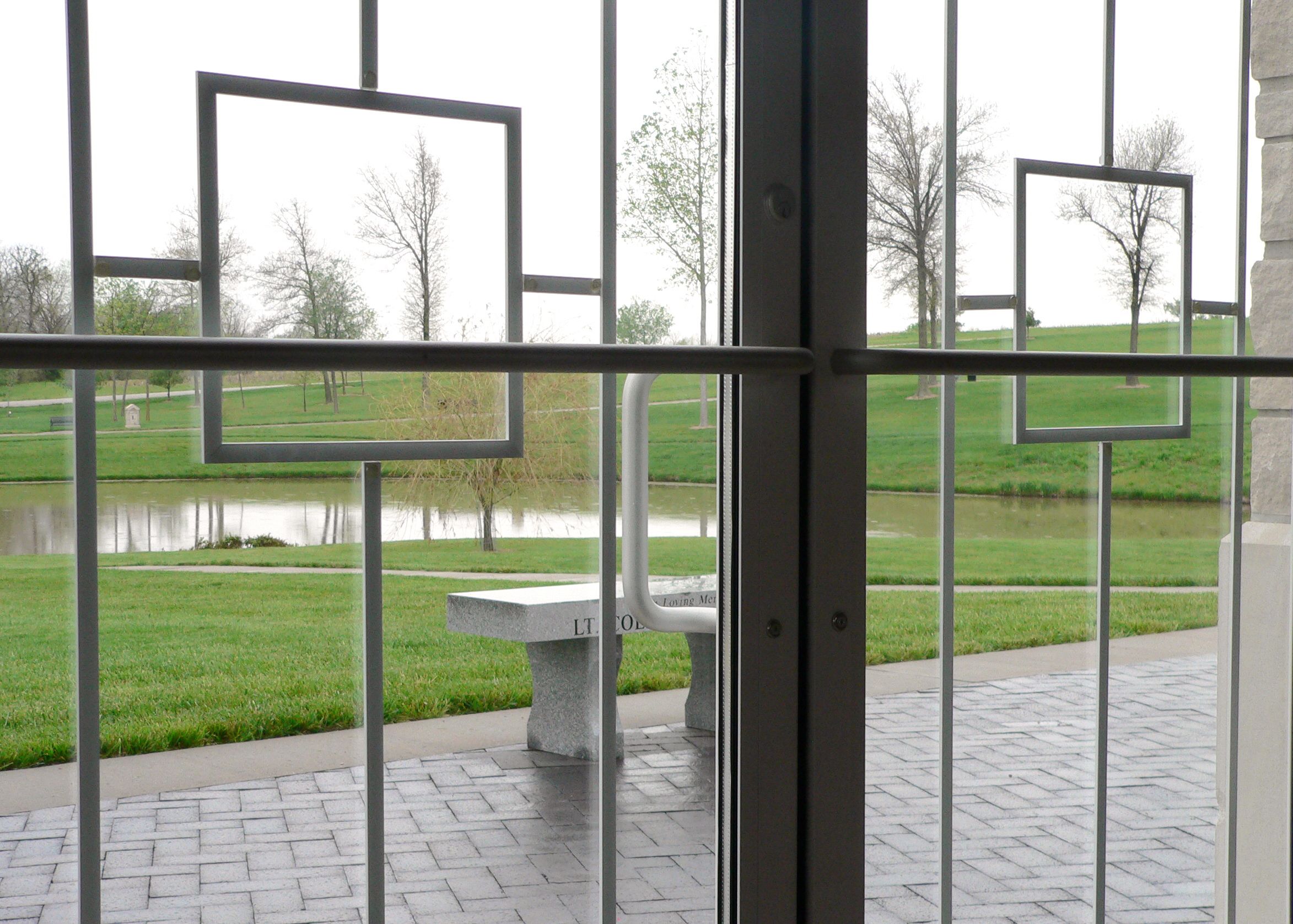
Memorial Chapel
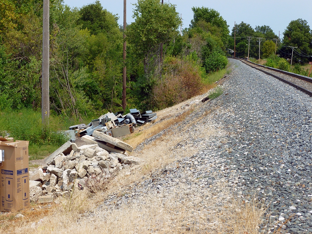
Higginsville MP Crossing
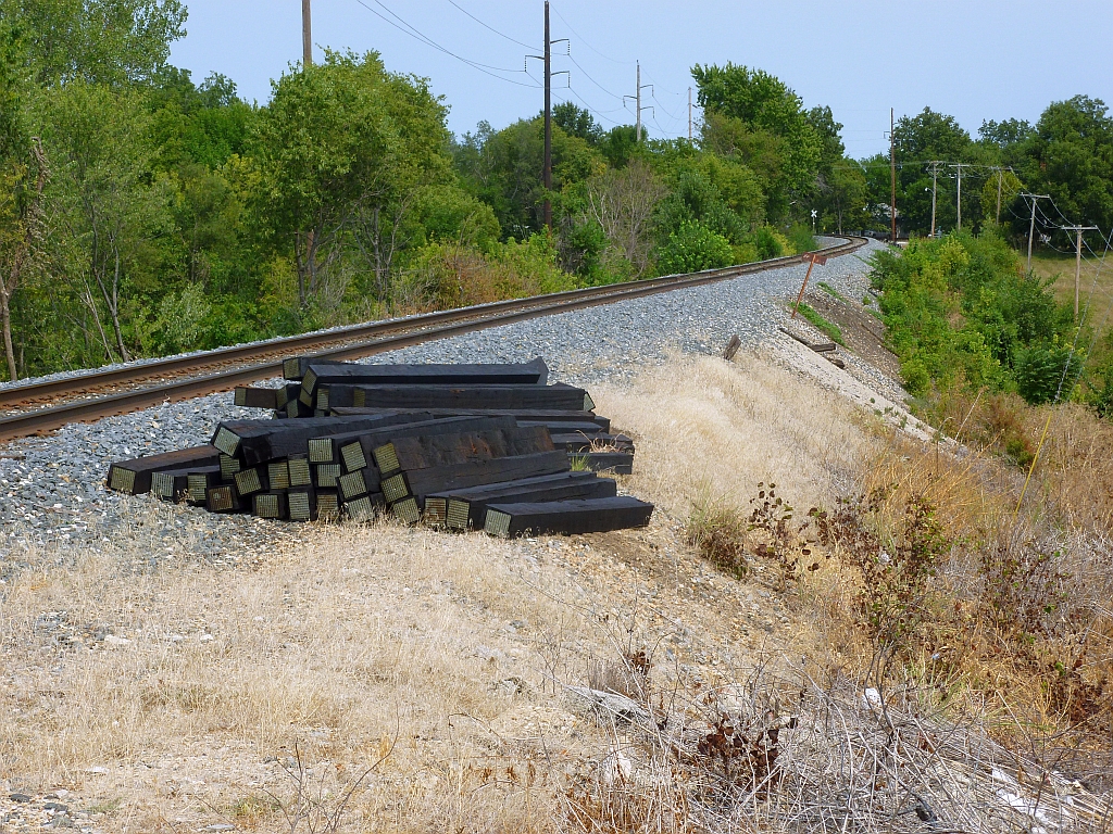
Higginsville MP Crossing

IMG_5929.jpg

Camera Roll-2071
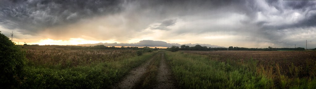
Stormy evening on the road
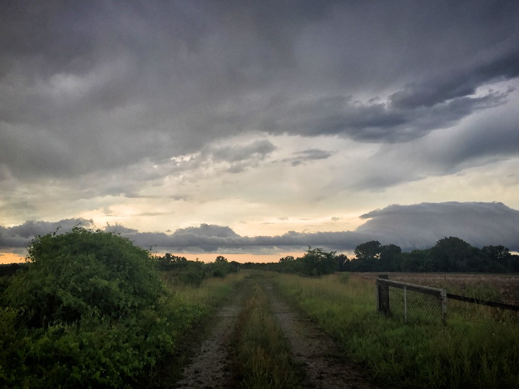
Stormy evening on the road
Stormy evening on the road
IMG_5904.jpg
Love this one! Field and clouds.

Enjoying the day..
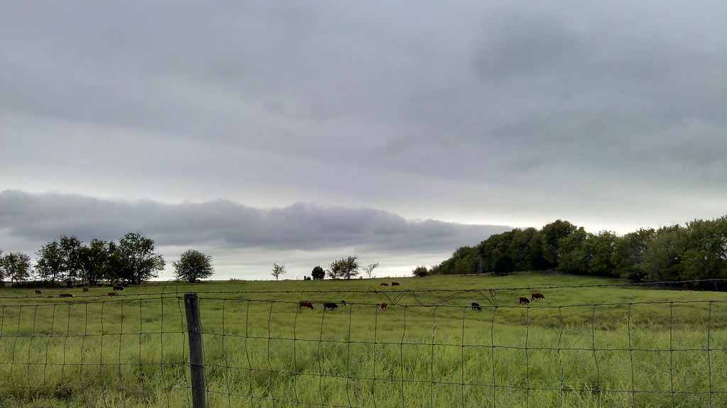
Cows in a field. This is Missouri excitement! Lol
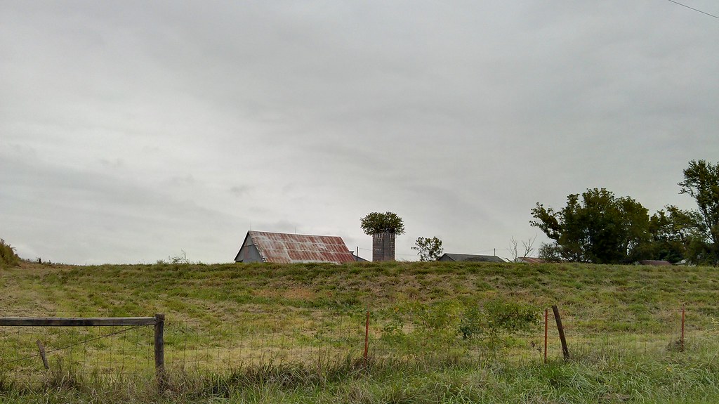
Can see the barn just over the hill. Tree growing out of the old silo too.
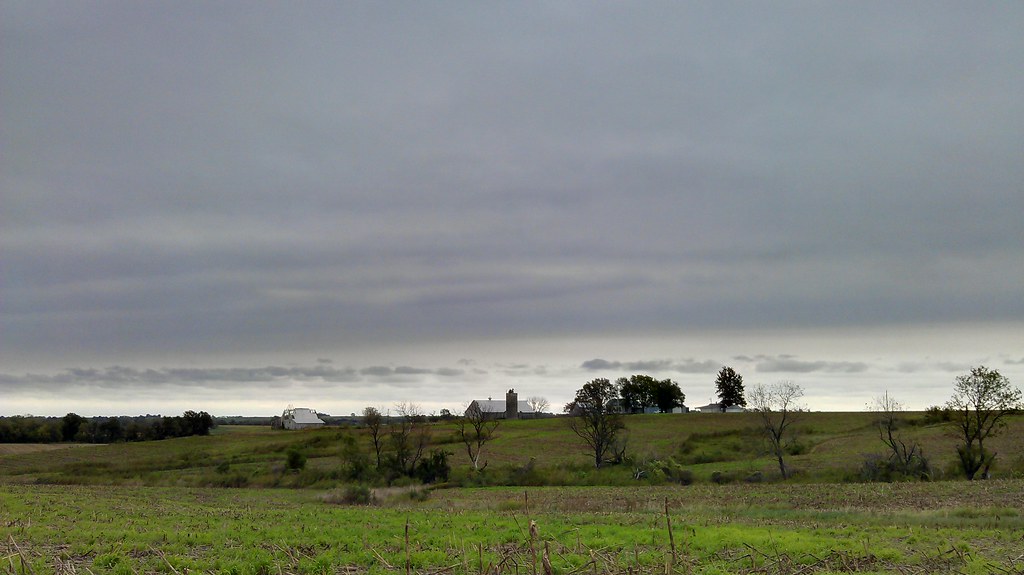
Farm house on the hill.
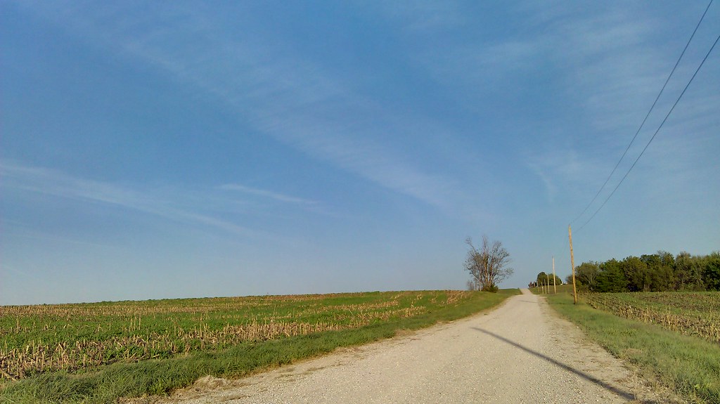
Gravel road and an almost clear sky
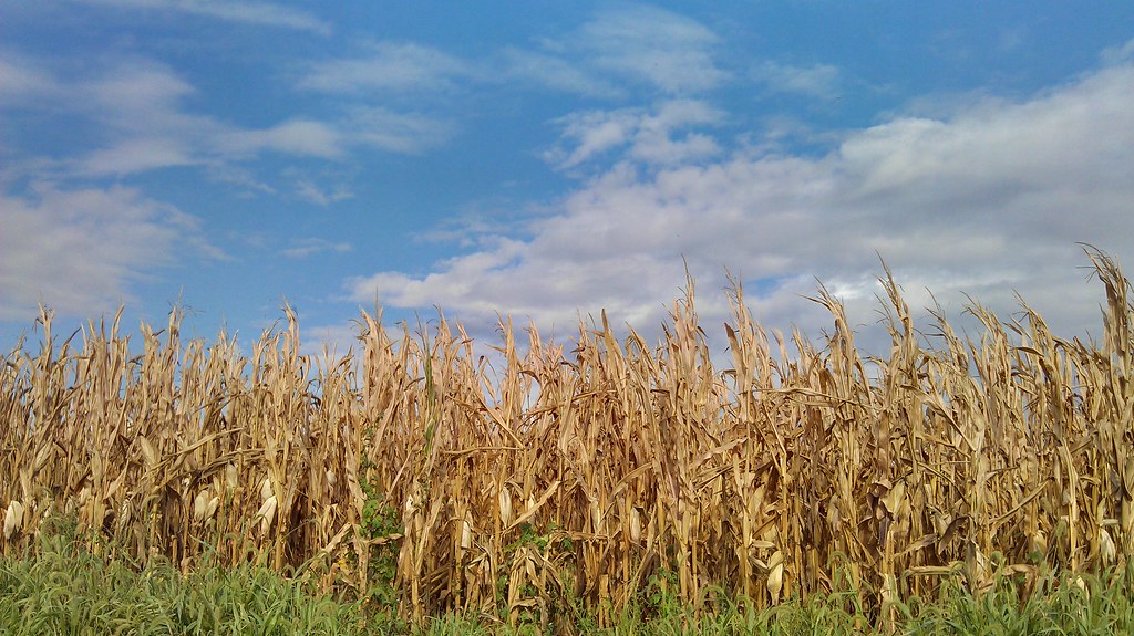
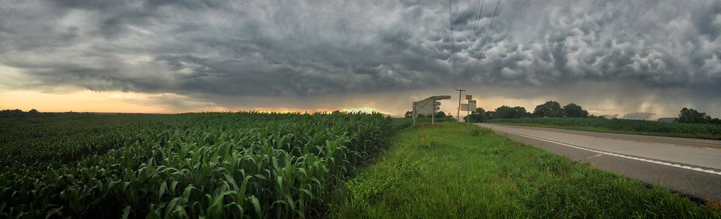
I really love this simple shot. Clouds over a cornfield.
Missouri River
near aullville, mo.
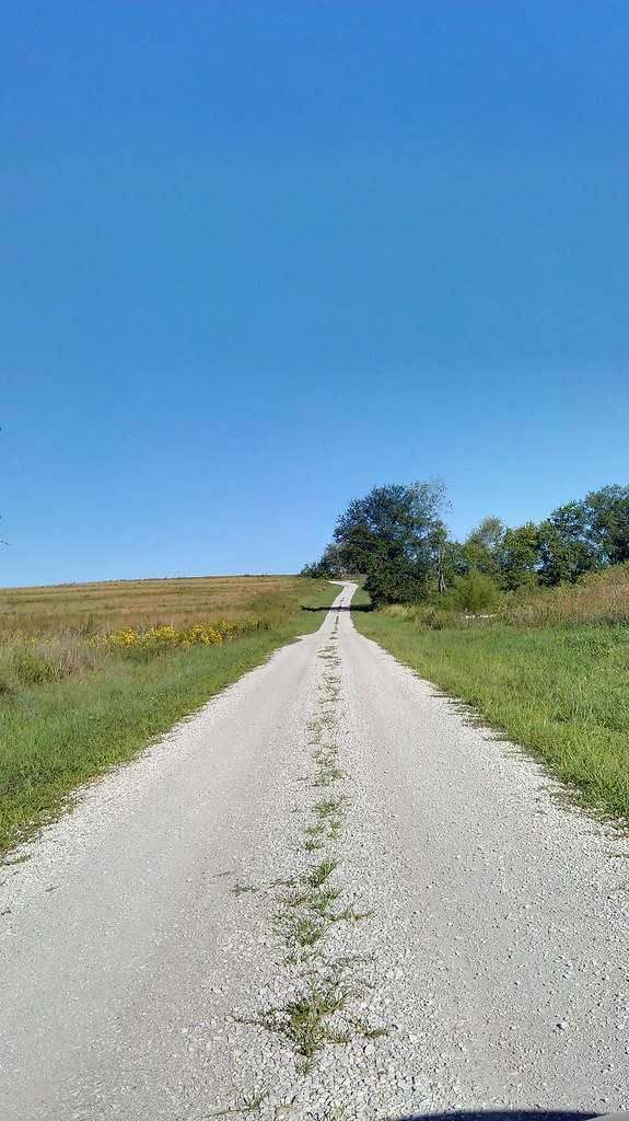
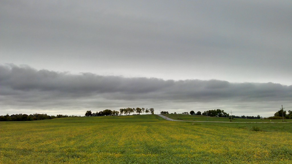
Gravel road and a clear blue sky.

Battle of Lexington State Historic Site
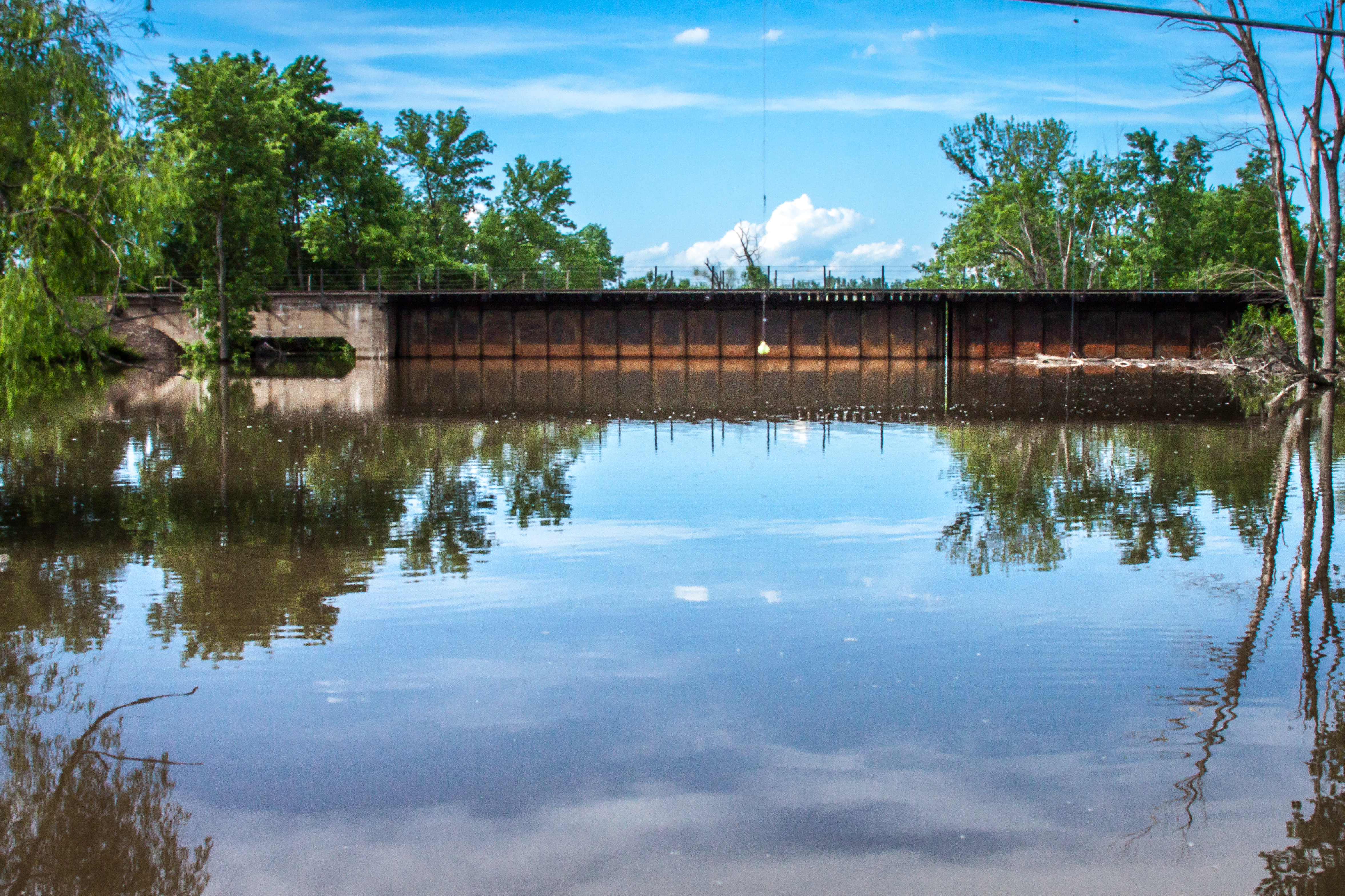
Sni-A-Bar Creek at Flood Stage

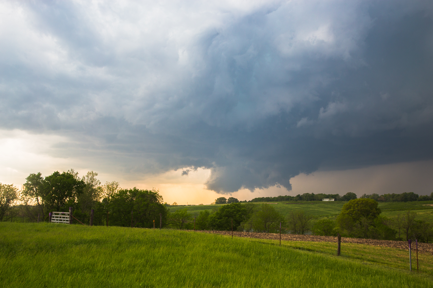
Sunset over Missouri

Confederate Memorial Cemetery in Higginsville, MO. #missouri #confederatememorial #civilwar #history
Topographic Map of Sallie St, Mayview, MO, USA
Find elevation by address:

Places near Sallie St, Mayview, MO, USA:
Davis Township
105 W 22nd St
Higginsville
Odessa
Lafayette County
Hazel Hill Township
96 NW th Rd, Warrensburg, MO, USA
1740 Hwy Oo
Sni-a-bar Township
E Main St, Hardin, MO, USA
Hardin
NW th Rd, Warrensburg, MO, USA
Hardin, MO, USA
Camden
Dekalb Street
Bates City
Crooked River Township
Camden Township
1751 Road
1180 Nw 400th Rd
Recent Searches:
- Elevation of 7 Waterfall Way, Tomball, TX, USA
- Elevation of SW 57th Ave, Portland, OR, USA
- Elevation of Crocker Dr, Vacaville, CA, USA
- Elevation of Pu Ngaol Community Meeting Hall, HWHM+3X7, Krong Saen Monourom, Cambodia
- Elevation of Royal Ontario Museum, Queens Park, Toronto, ON M5S 2C6, Canada
- Elevation of Groblershoop, South Africa
- Elevation of Power Generation Enterprises | Industrial Diesel Generators, Oak Ave, Canyon Country, CA, USA
- Elevation of Chesaw Rd, Oroville, WA, USA
- Elevation of N, Mt Pleasant, UT, USA
- Elevation of 6 Rue Jules Ferry, Beausoleil, France