Elevation of Salisbury, NY, USA
Location: United States > New York > Herkimer County >
Longitude: -74.803920
Latitude: 43.2103948
Elevation: 519m / 1703feet
Barometric Pressure: 95KPa
Elevation Map:
Satellite Map:
Related Photos:
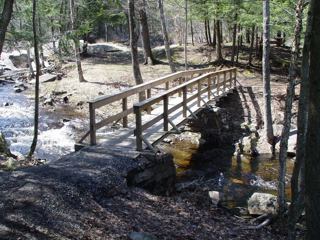
Footbridge in off season.

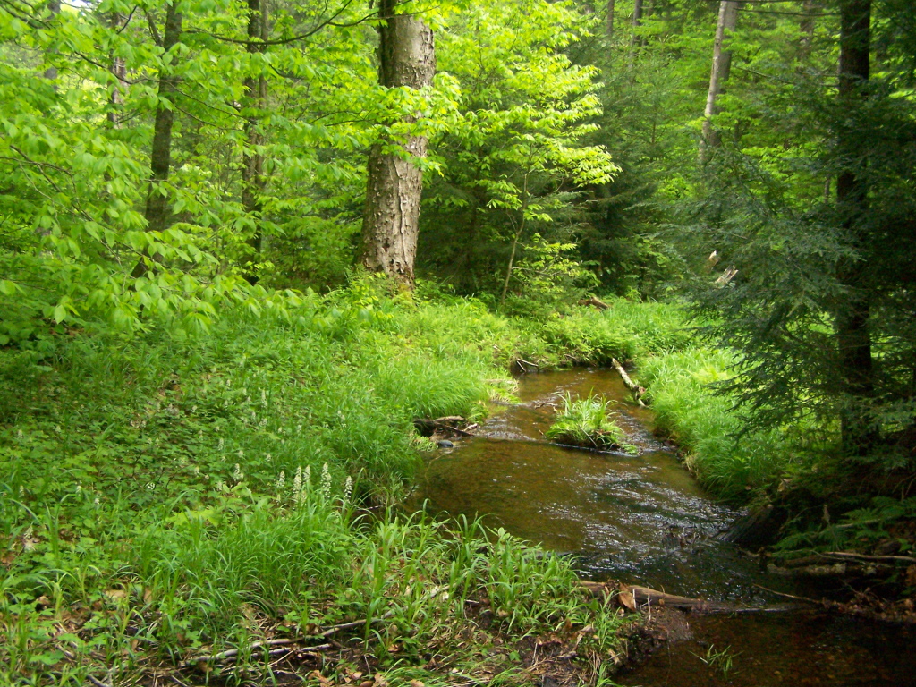
Bridge Over Spruce Creek
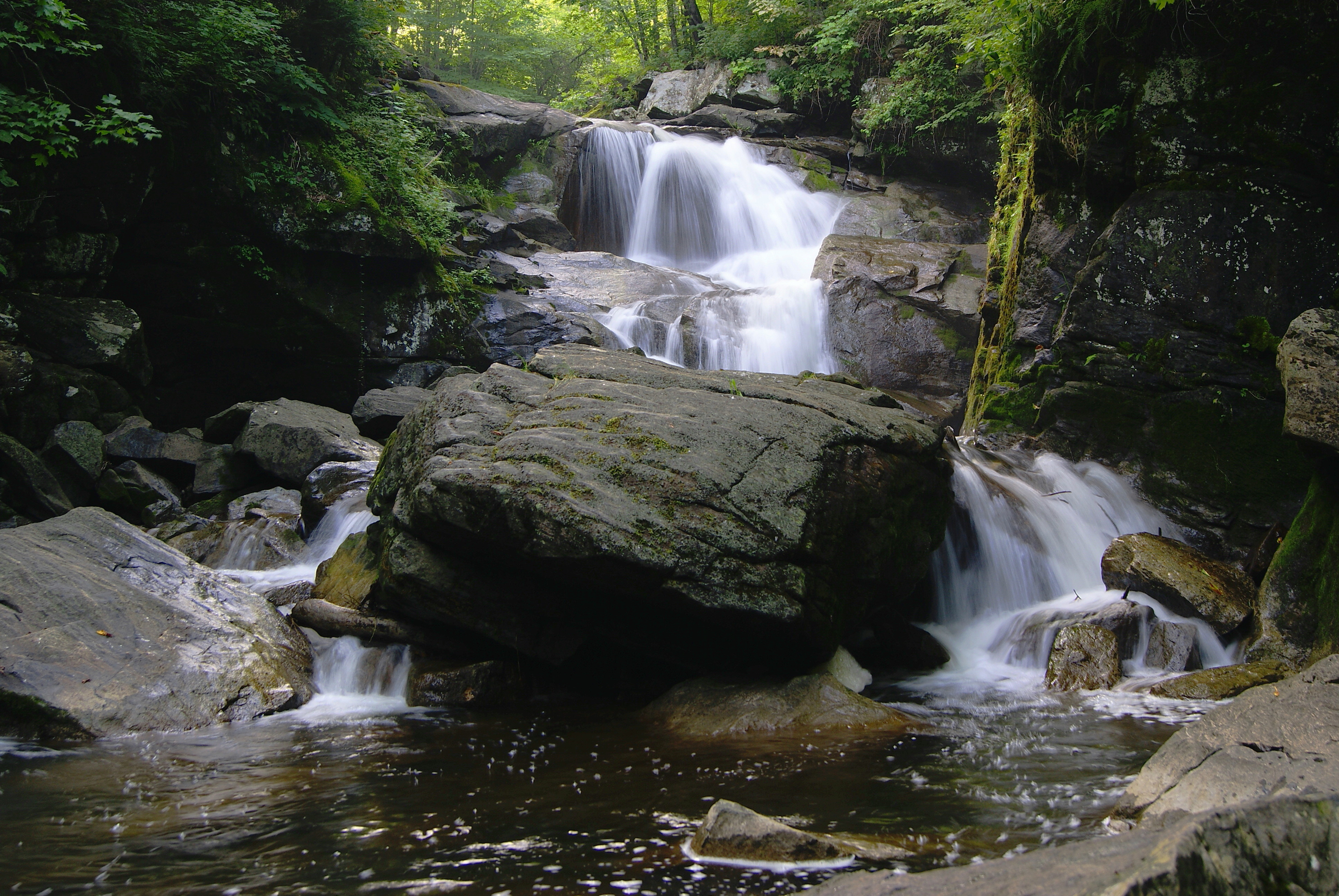
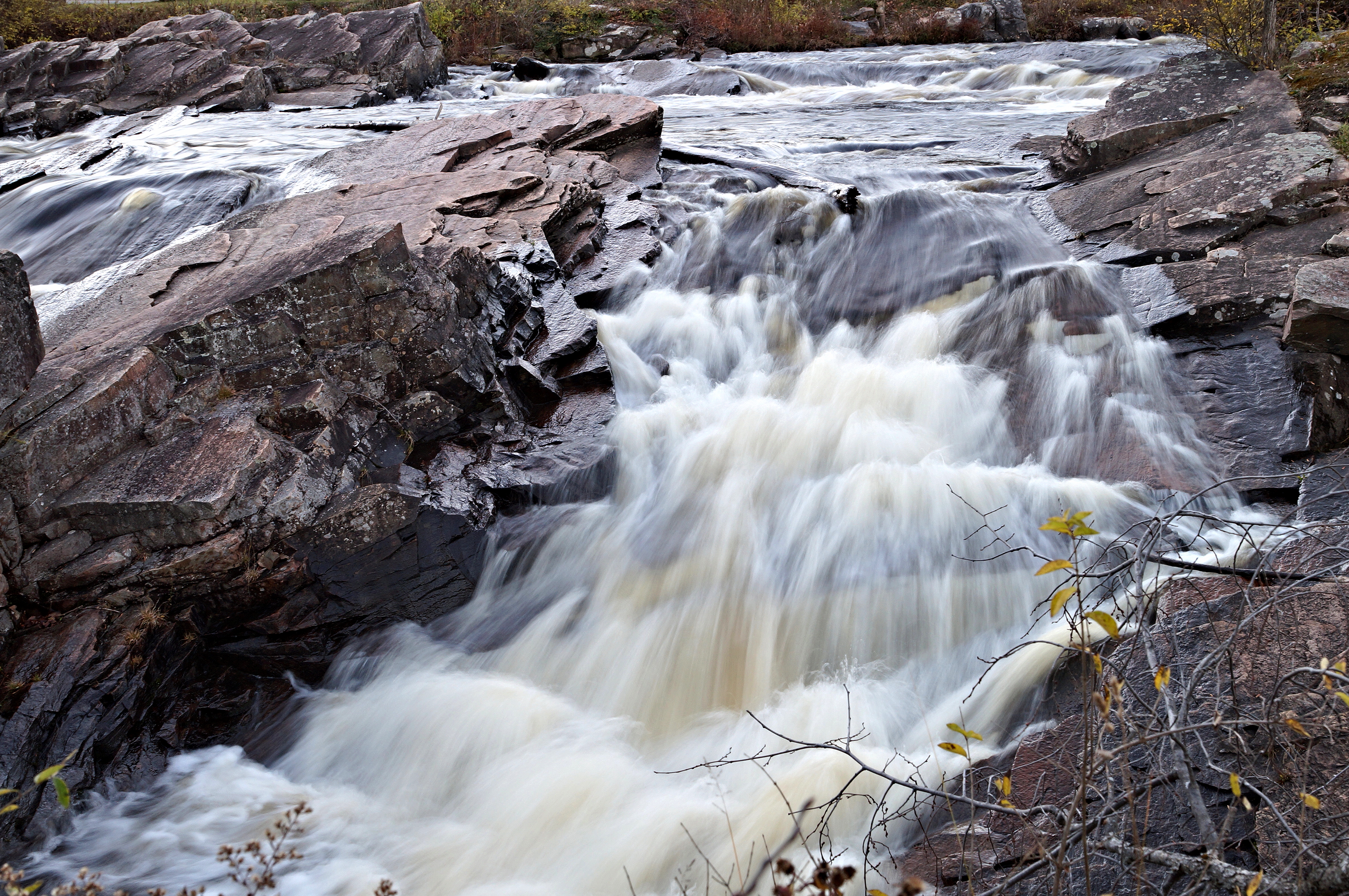
Faville Falls
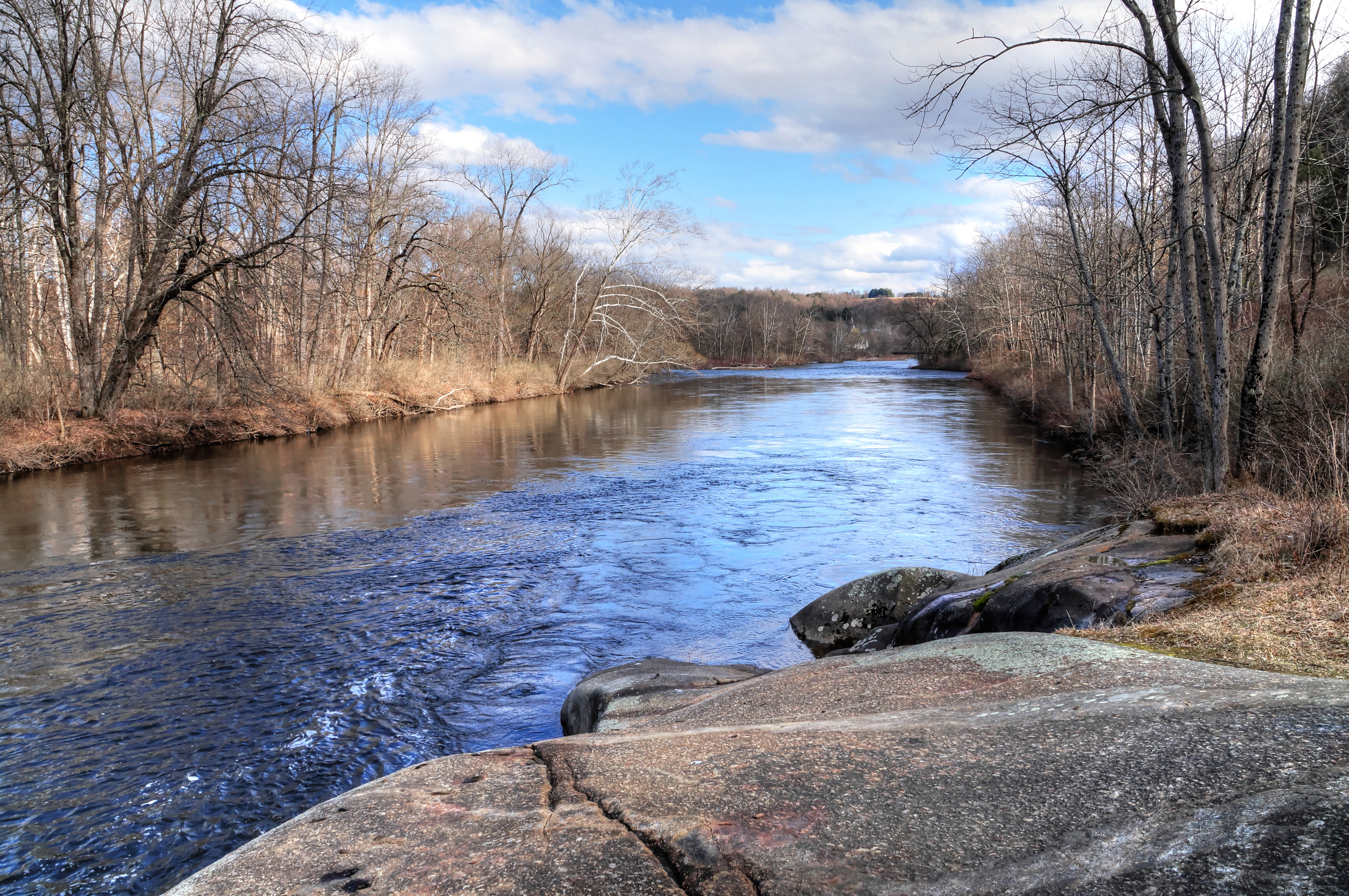
The Beauty Of The West Canada Creek
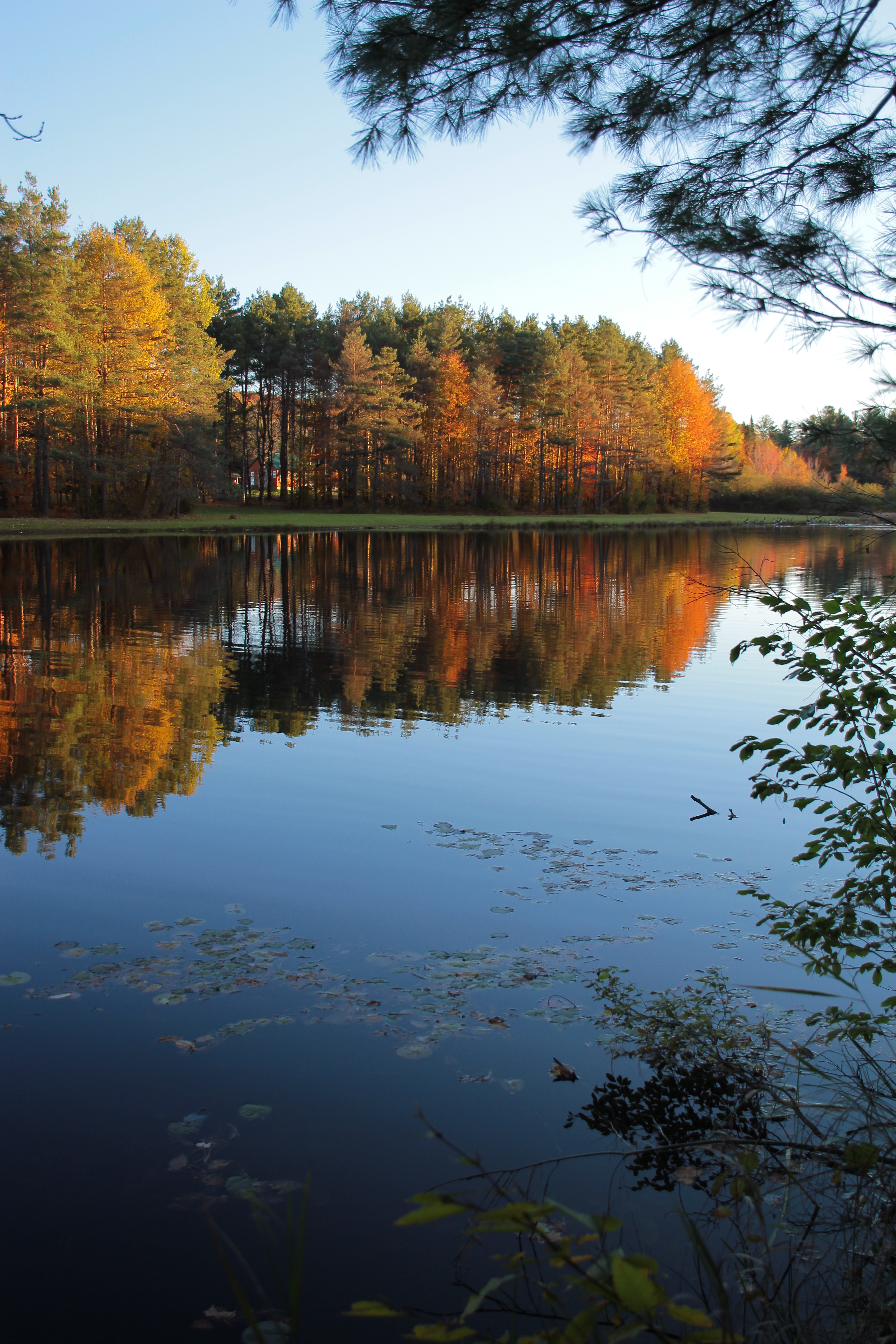
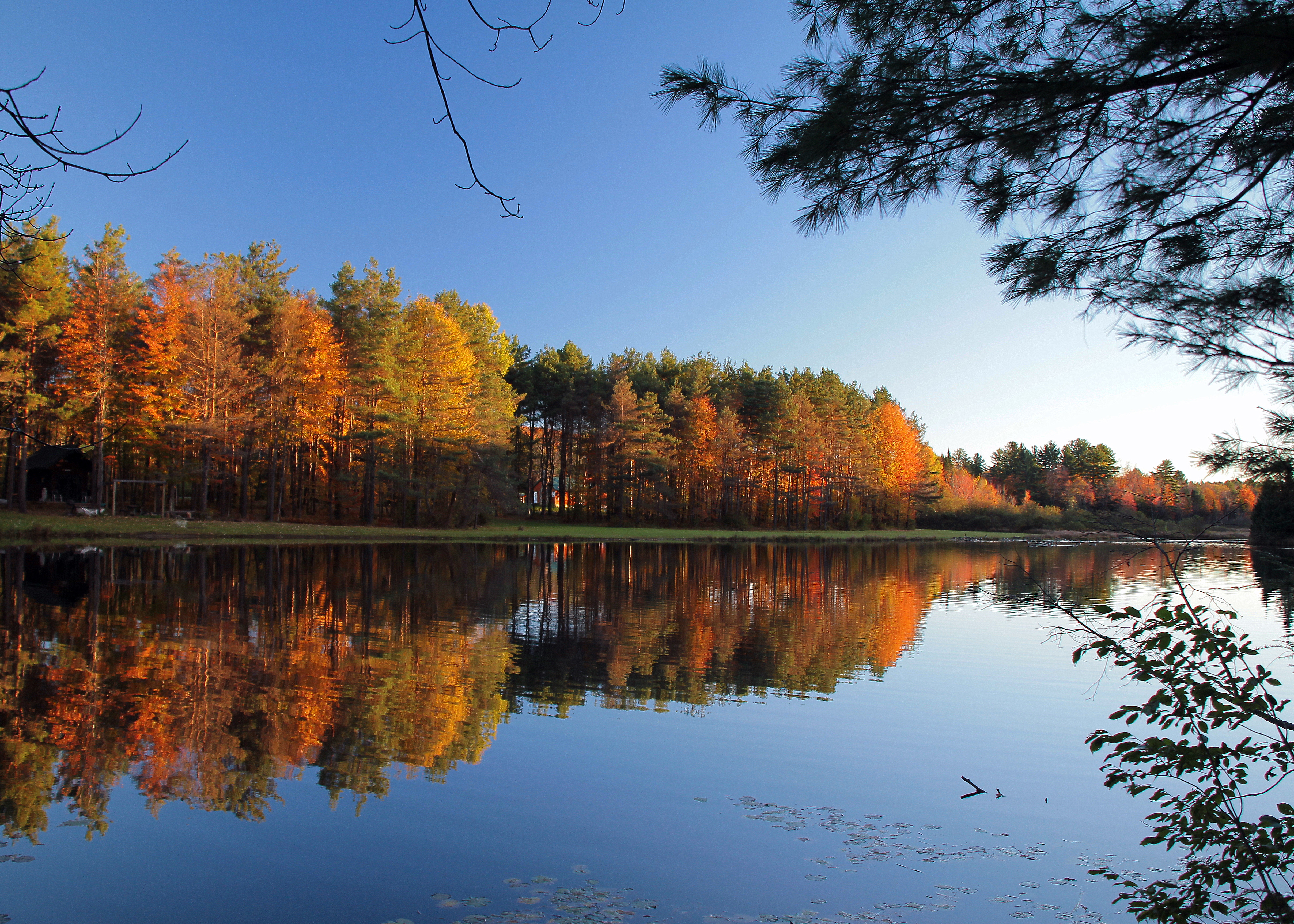
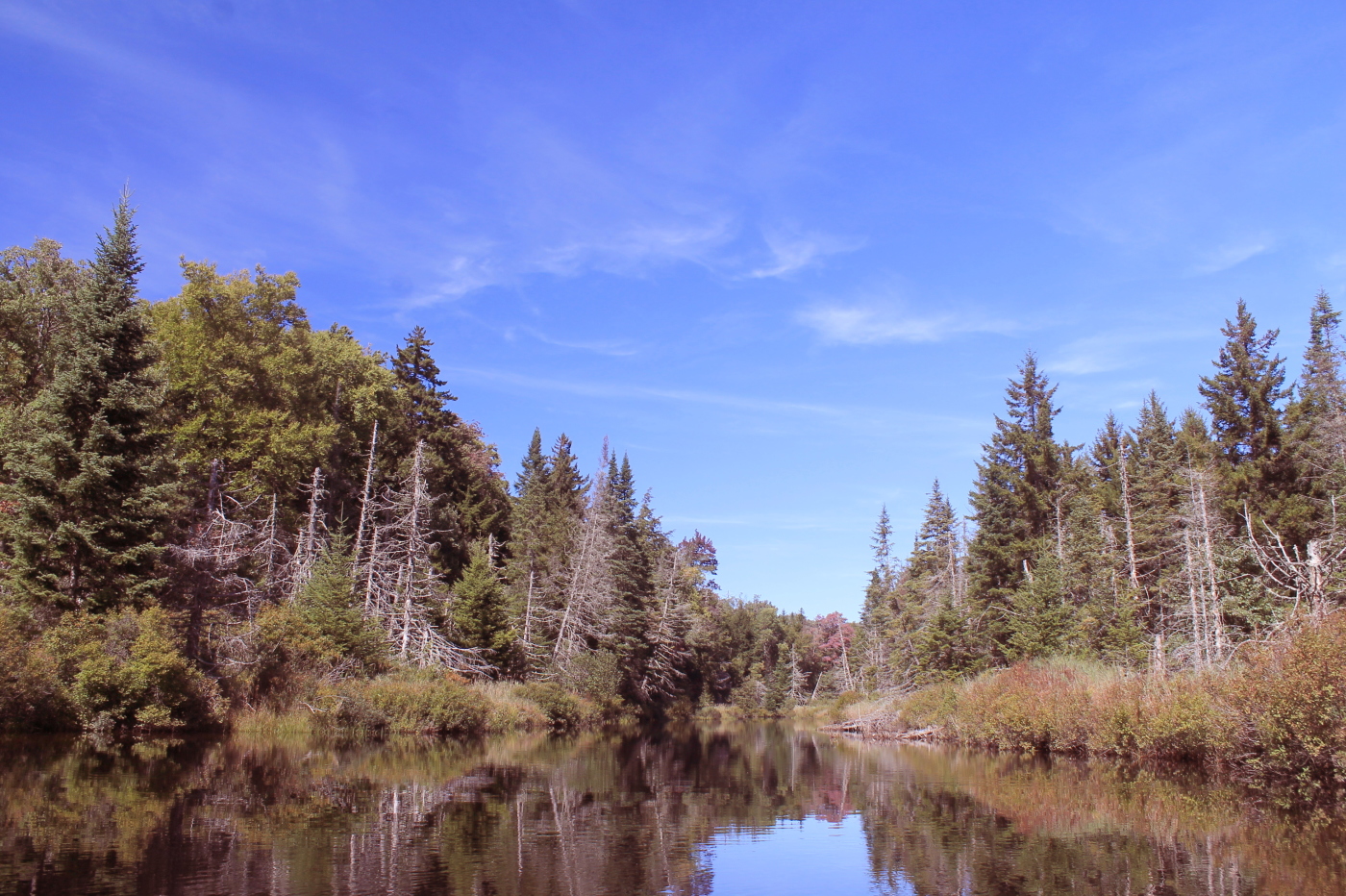
Fall Reflections
Aspen Pond Fall Afternoon
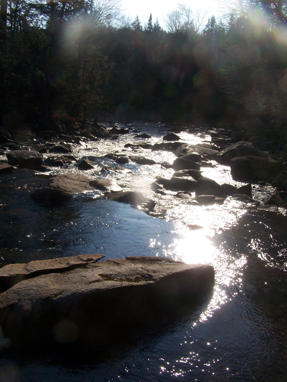
Fall Flow
Bright and Sunny Potholers
mirror mirror

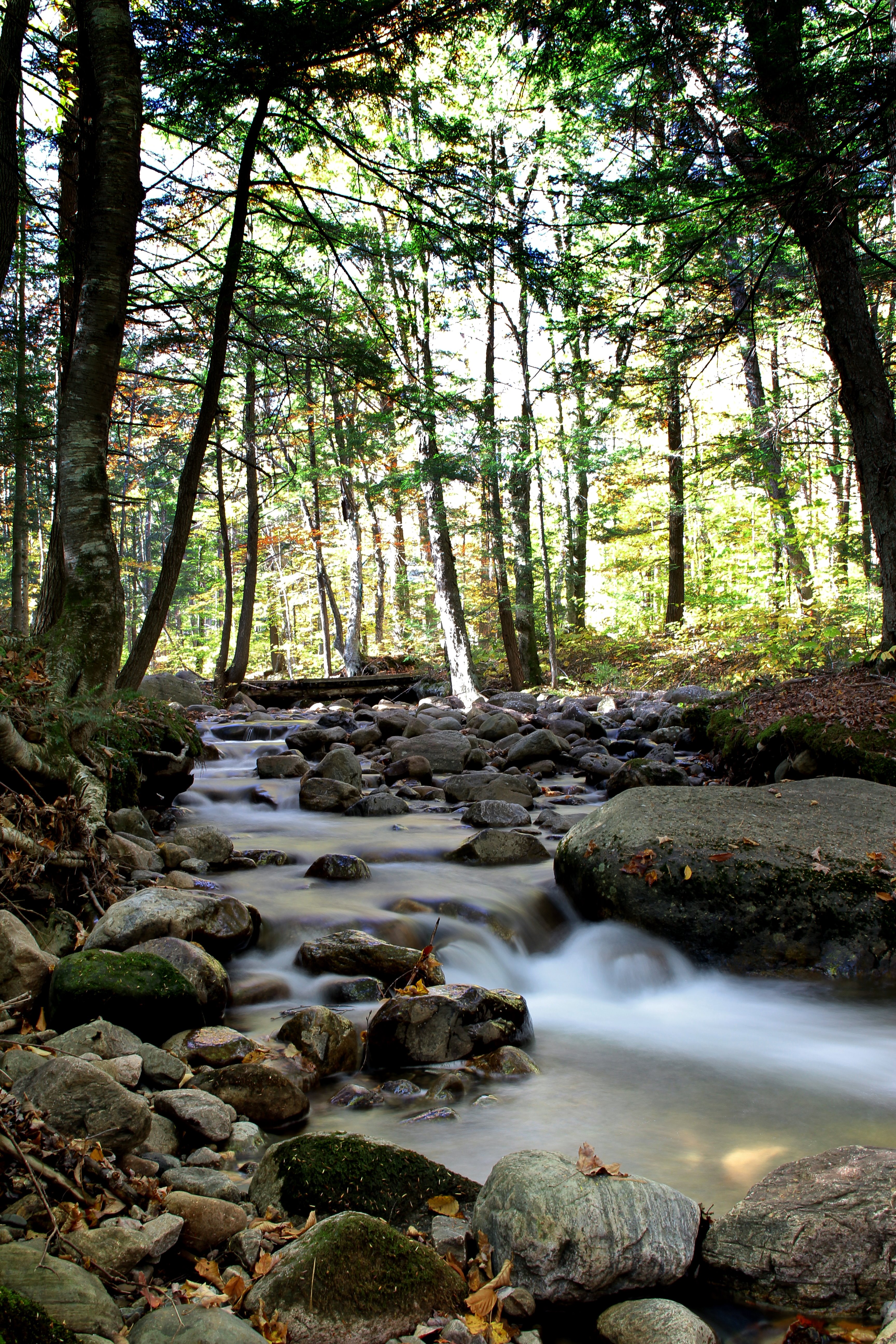
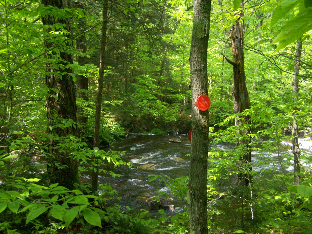
Scenic Creek
Scenic Creek

Sunset on the Way Home
Trees at Faville Falls
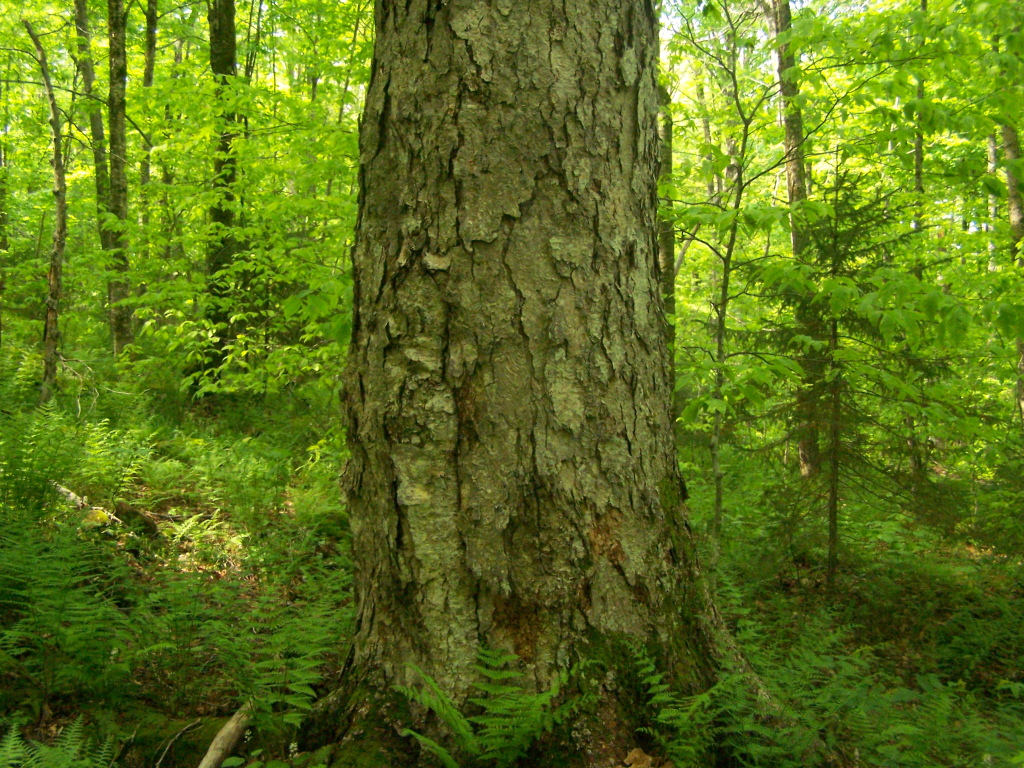
Old Growth Tree Up Close
Where Snowmobile Trail Crosses
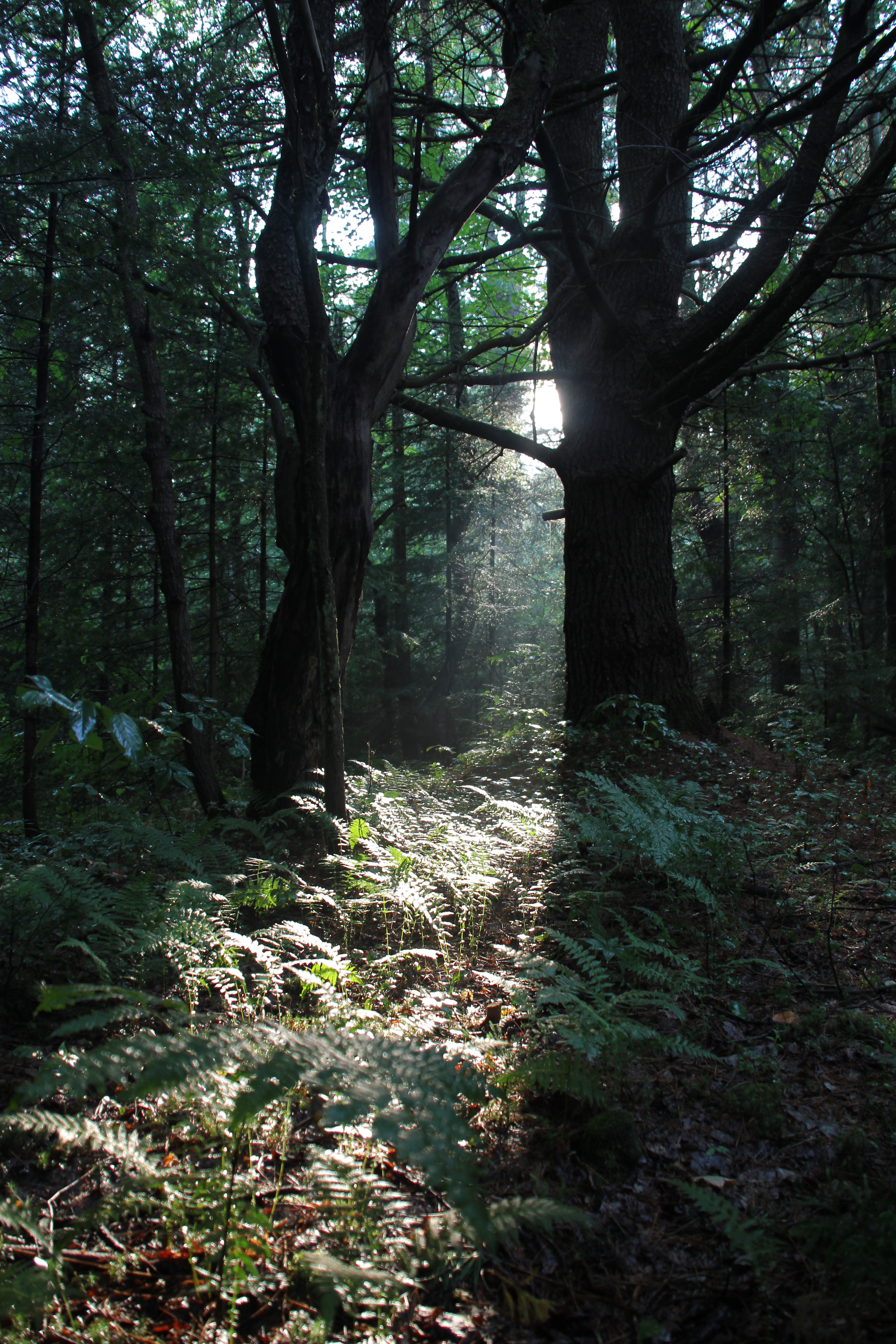
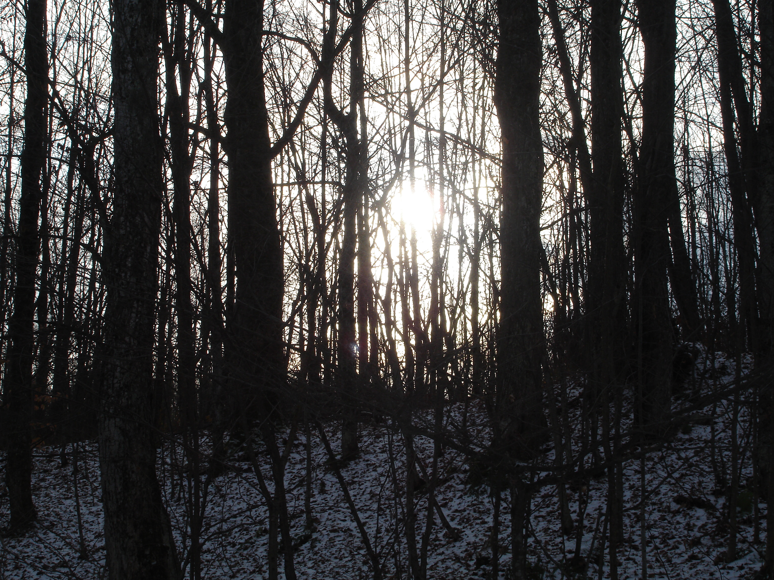
Silent Woods
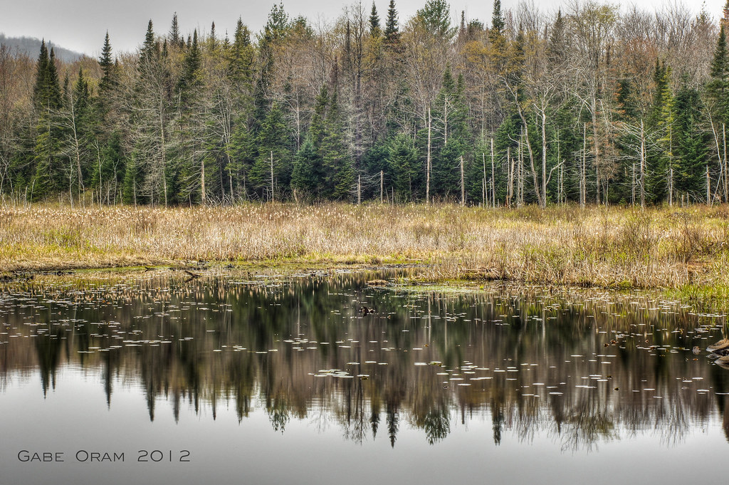
on the edge of the adirondacks
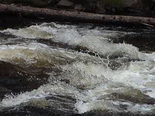
Spruce Creek, in action
Spruce Creek Rapids
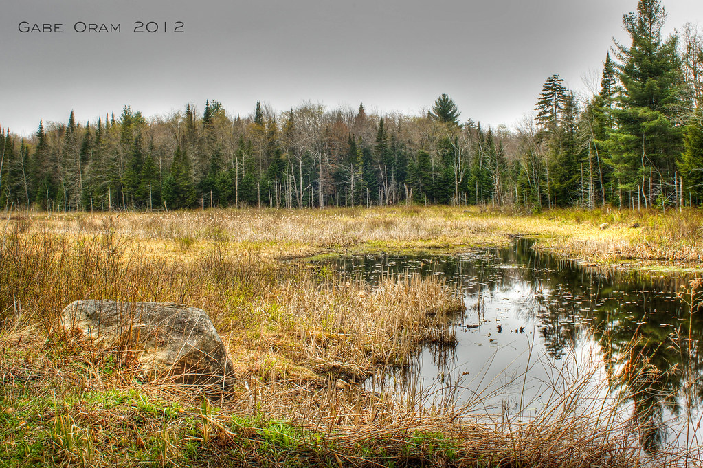
Following a Tributory Down Into the Valley
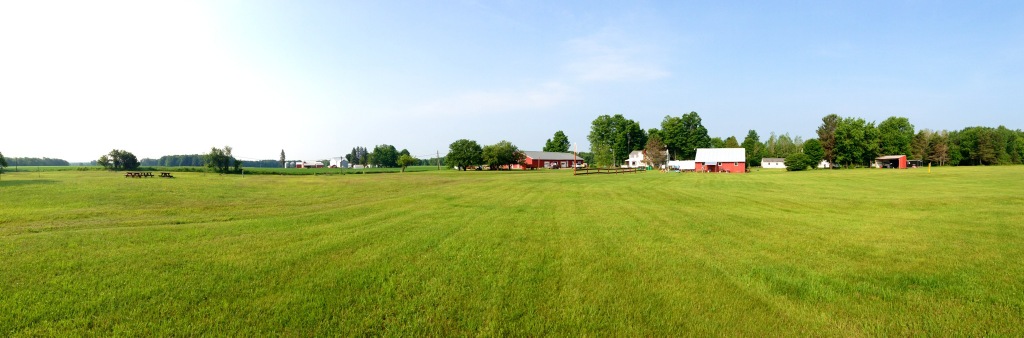
Adirondack Gateway Campground
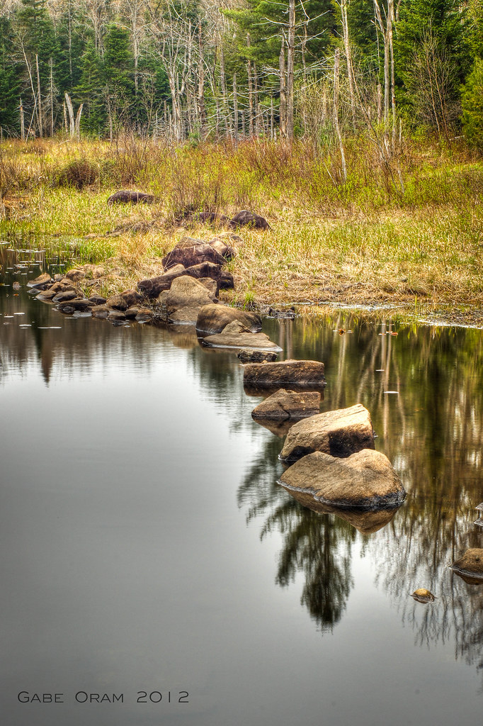
stepping stones
Topographic Map of Salisbury, NY, USA
Find elevation by address:

Places in Salisbury, NY, USA:
Stratford
Military Rd, Little Falls, NY, USA
NY-29, Salisbury Center, NY, USA
Salisbury Center
Salisbury
Places near Salisbury, NY, USA:
Curtiss Rd, Little Falls, NY, USA
383 Peck Rd
Dairy Hill Road
1120 Dairy Hill Rd
Salisbury Historical Society
Salisbury Center
NY-29, Salisbury Center, NY, USA
1256 Dairy Hill Rd
Military Rd, Little Falls, NY, USA
Salisbury
Herkimer County
637 Military Rd
229 Ives Rd
348 Shedd Rd
1042 Thompson Rd
355 Perkins Mill Rd
22 Horn St
36 Lot, Stratford, NY, USA
Stratford
NY-29A, Salisbury Center, NY, USA
Recent Searches:
- Elevation of Unnamed Road, Respublika Severnaya Osetiya — Alaniya, Russia
- Elevation of Verkhny Fiagdon, North Ossetia–Alania Republic, Russia
- Elevation of F. Viola Hiway, San Rafael, Bulacan, Philippines
- Elevation of Herbage Dr, Gulfport, MS, USA
- Elevation of Lilac Cir, Haldimand, ON N3W 2G9, Canada
- Elevation of Harrod Branch Road, Harrod Branch Rd, Kentucky, USA
- Elevation of Wyndham Grand Barbados Sam Lords Castle All Inclusive Resort, End of Belair Road, Long Bay, Bridgetown Barbados
- Elevation of Iga Trl, Maggie Valley, NC, USA
- Elevation of N Co Rd 31D, Loveland, CO, USA
- Elevation of Lindever Ln, Palmetto, FL, USA