Elevation of Sakedani, Misato-chō, Ōchi-gun, Shimane-ken -, Japan
Location: Japan > Shimane Prefecture > Ochi District > Misato >
Longitude: 132.703851
Latitude: 35.0479654
Elevation: 256m / 840feet
Barometric Pressure: 98KPa
Elevation Map:
Satellite Map:
Related Photos:
View from a Japanese BBQ

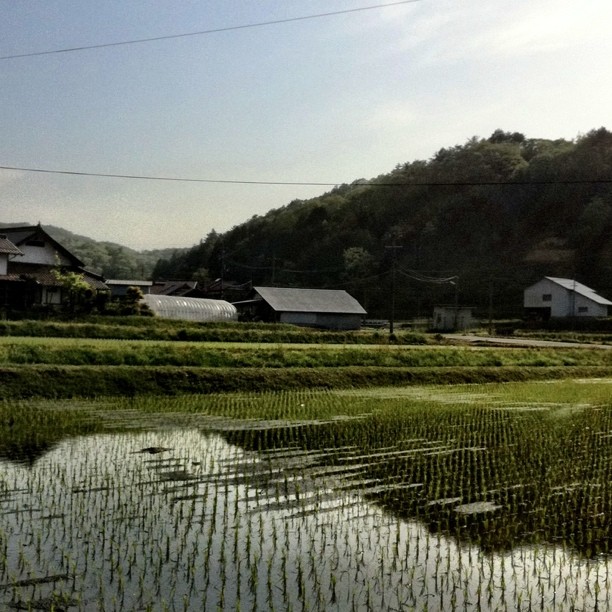
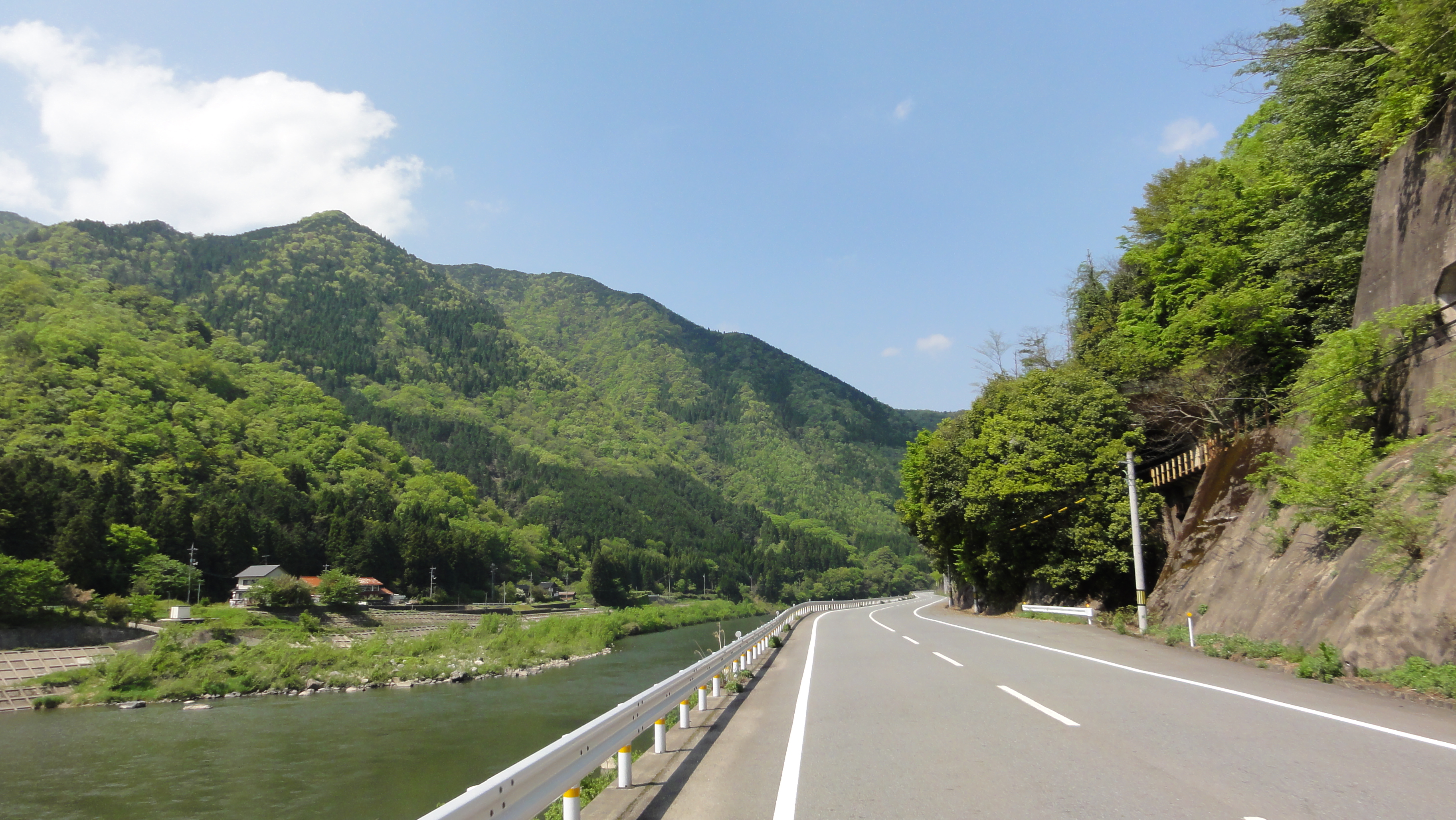
江の川

江の川

江の川

江の川

江の川
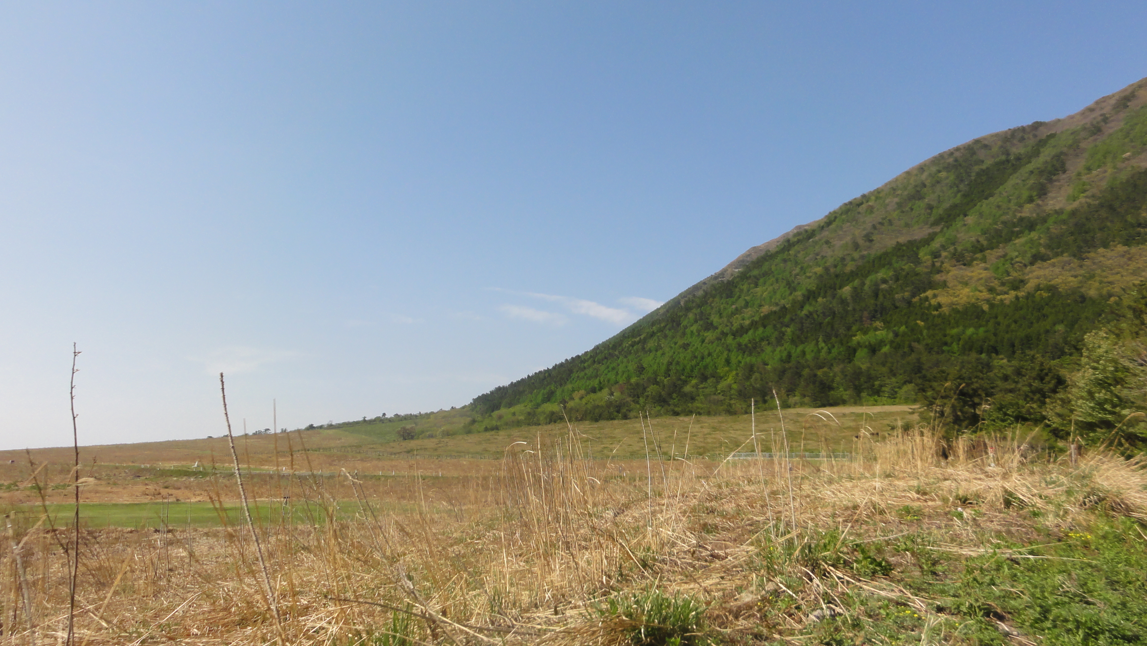
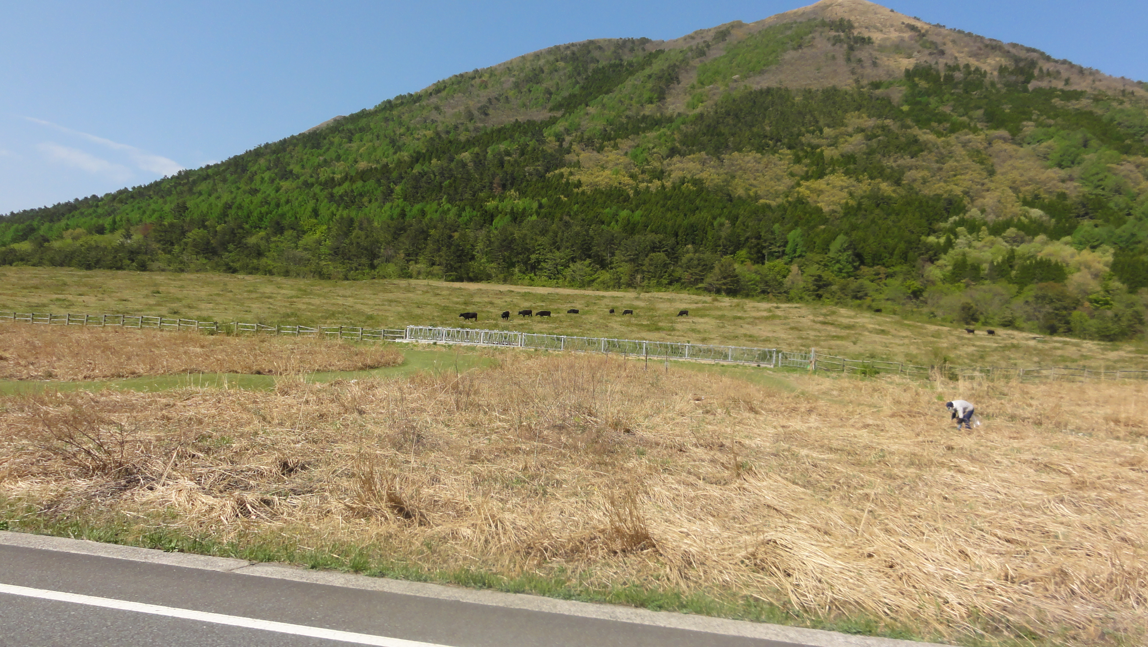
奥に三瓶山

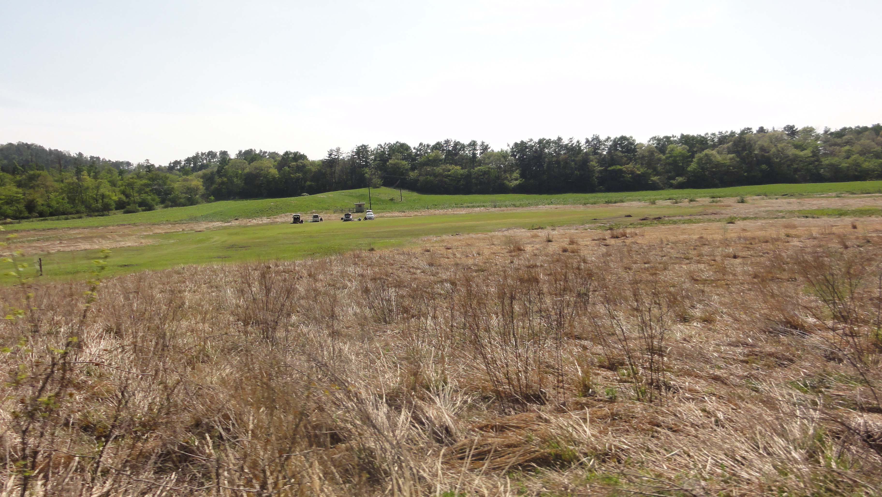
field of grass
grass and sea
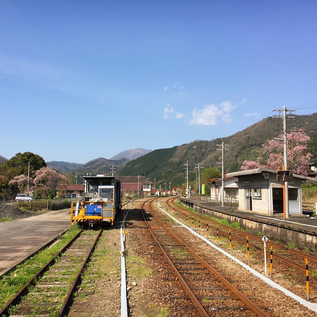
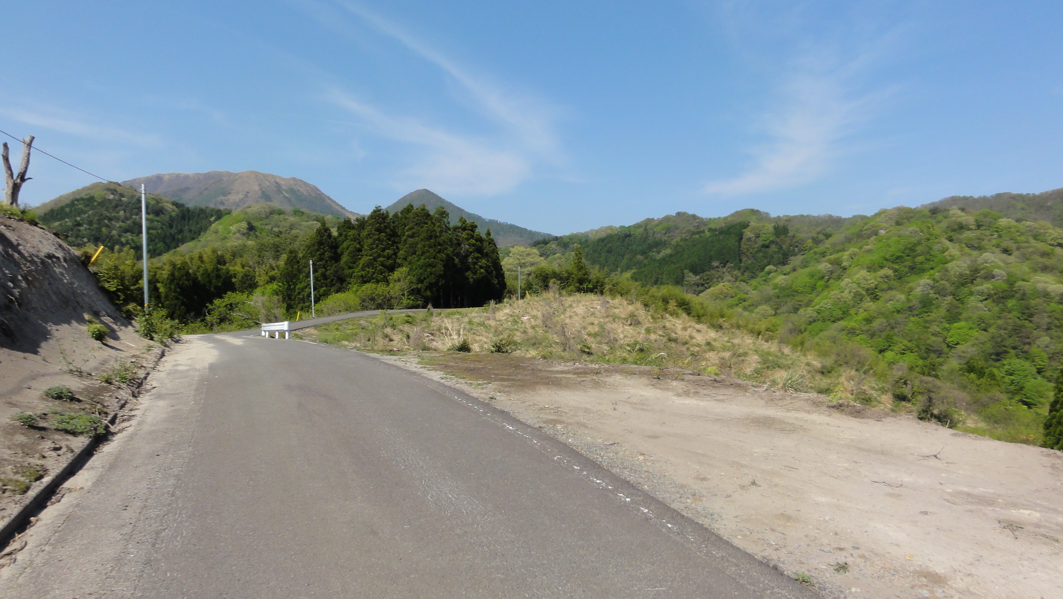
石見グランフォンド2011
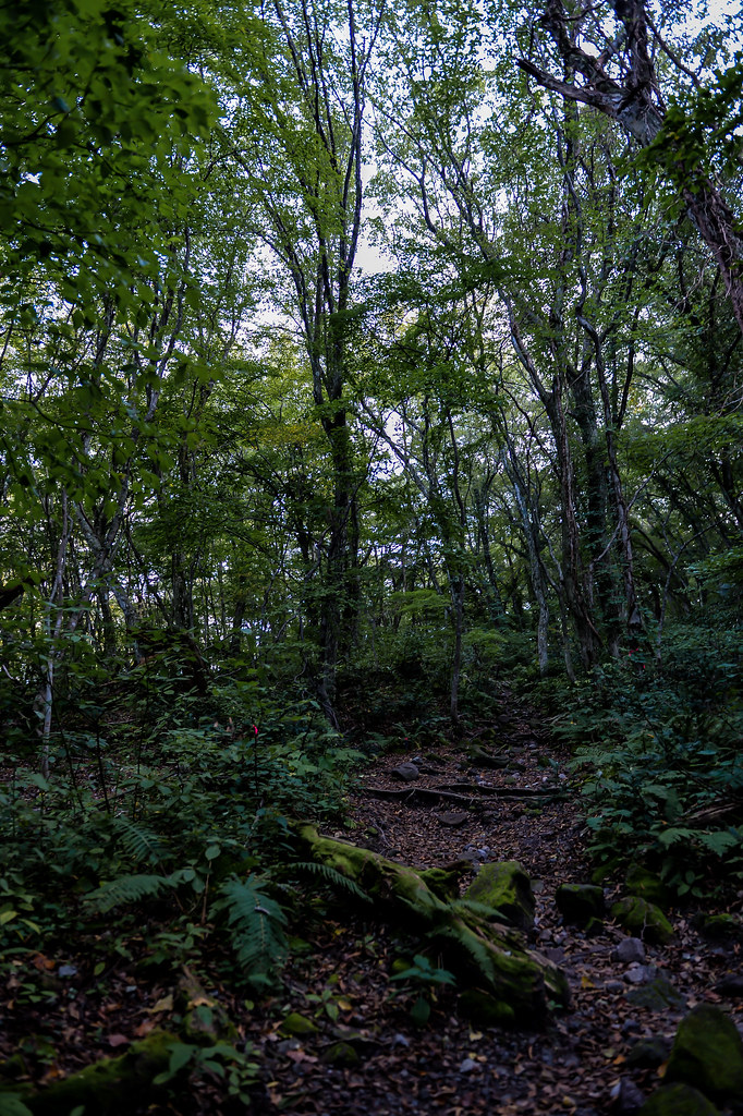
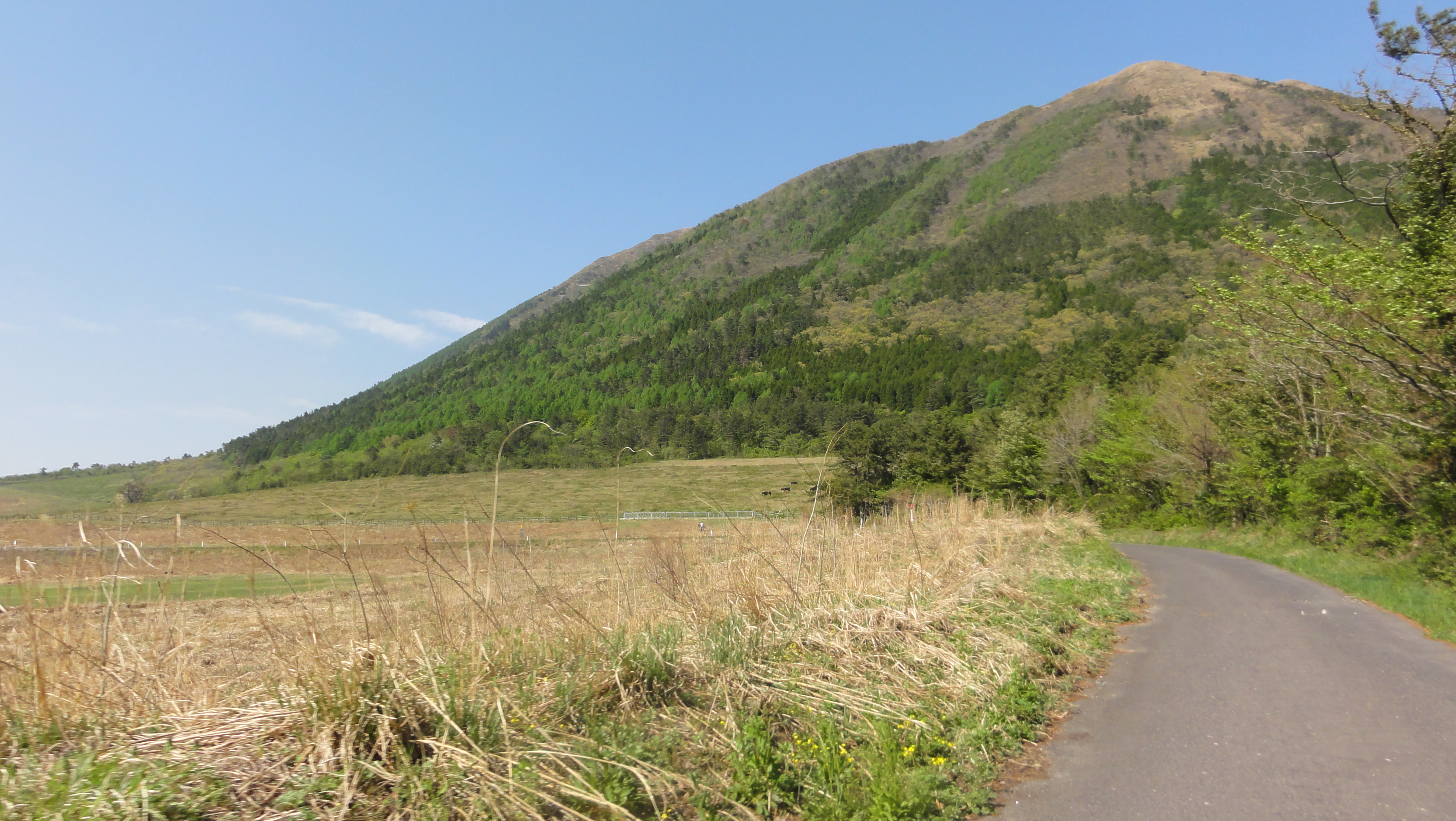
mountain path
石見グランフォンド2011

江の川
石見グランフォンド2011

江の川
石見グランフォンド2011
石見グランフォンド2011
石見グランフォンド2011
石見グランフォンド2011
Topographic Map of Sakedani, Misato-chō, Ōchi-gun, Shimane-ken -, Japan
Find elevation by address:

Places near Sakedani, Misato-chō, Ōchi-gun, Shimane-ken -, Japan:
Iinan
Chihara, Misato-chō, Ōchi-gun, Shimane-ken -, Japan
Iishi District
Sami, Iinan-chō, Iishi-gun, Shimane-ken -, Japan
49 Kumami, Misato-chō, Ōchi-gun, Shimane-ken -, Japan
Ushiomura, Misato-chō, Ōchi-gun, Shimane-ken -, Japan
Shiki, Misato-chō, Ōchi-gun, Shimane-ken -, Japan
Kamikawado, Misato-chō, Ōchi-gun, Shimane-ken -, Japan
Sanbecho Shigaku
Kubo, Misato-chō, Ōchi-gun, Shimane-ken -, Japan
88-1 Hamahara, Misato-chō, Ōchi-gun, Shimane-ken -, Japan
Tsugayuki, Misato-chō, Ōchi-gun, Shimane-ken -, Japan
Misato
Mt. Sanbe
60 Takahata, Misato-chō, Ōchi-gun, Shimane-ken -, Japan
Takayama, Misato-chō, Ōchi-gun, Shimane-ken -, Japan
Okuyama, Misato-chō, Ōchi-gun, Shimane-ken -, Japan
-5 Yugakai, Misato-chō, Ōchi-gun, Shimane-ken -, Japan
Yanaze, Misato-chō, Ōchi-gun, Shimane-ken -, Japan
Shigimi, Misato-chō, Ōchi-gun, Shimane-ken -, Japan
Recent Searches:
- Elevation of Hercules Dr, Colorado Springs, CO, USA
- Elevation of Szlak pieszy czarny, Poland
- Elevation of Griffing Blvd, Biscayne Park, FL, USA
- Elevation of Kreuzburger Weg 13, Düsseldorf, Germany
- Elevation of Gateway Blvd SE, Canton, OH, USA
- Elevation of East W.T. Harris Boulevard, E W.T. Harris Blvd, Charlotte, NC, USA
- Elevation of West Sugar Creek, Charlotte, NC, USA
- Elevation of Wayland, NY, USA
- Elevation of Steadfast Ct, Daphne, AL, USA
- Elevation of Lagasgasan, X+CQH, Tiaong, Quezon, Philippines