Elevation of Saka Haphong
Longitude: 92.60999
Latitude: 21.7864154
Elevation: 1030m / 3379feet
Barometric Pressure: 90KPa
Elevation Map:
Satellite Map:
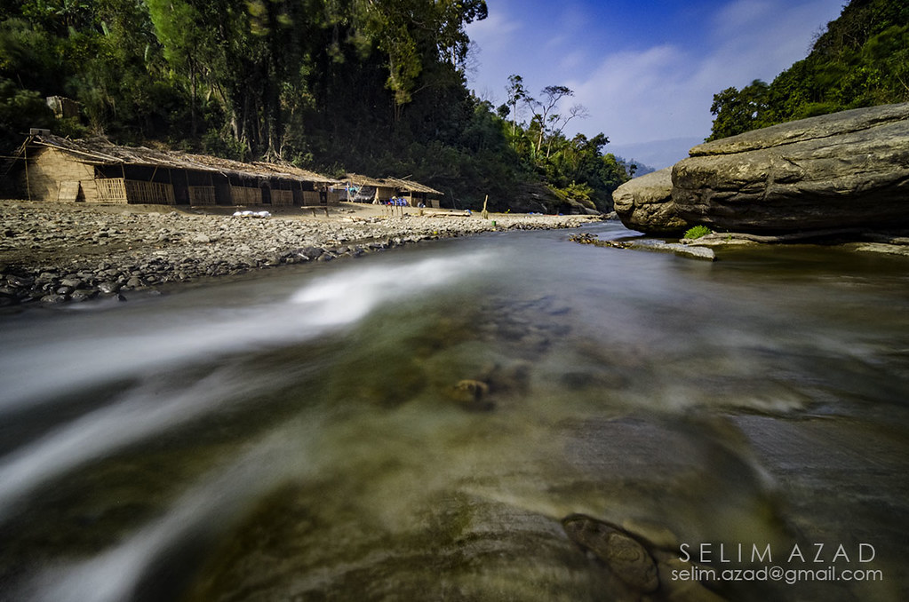
Related Photos:

Something beautiful is on the horizon.

উজানের পথে...

Into the rock Paradise

Nafakhum Falls

Rocky heaven

Nafakhum Falls

Rocky heaven

SA0_2208 copy

SA0_2225 copy
SA0_2187 copy

SA0_2233 copy

SA0_2237 copy

IMG_-944

আমি চিন্তিত

IMG_-726

IMG_-602
Topographic Map of Saka Haphong
Find elevation by address:

Places near Saka Haphong:
Debota Pahar
Tazing Dong Peak 1
Keokradong Peak
Keokradong
Dim Pahar
Ruma Upazila
Bandarban District
Enupara
Alikadam Upazila
Nilgiri Hill Resort
Alikadam
Ruma
Lama Upazila
Peak 69
Unnamed Road
Chimbuk Hill
Dakshin Hangar
Murang Para
Bagachatar
Chakaria
Recent Searches:
- Elevation of 64 Danakas Dr, Winnipeg, MB R2C 5N7, Canada
- Elevation of 4 Vale Rd, Sheffield S3 9QX, UK
- Elevation of Keene Point Drive, Keene Point Dr, Grant, AL, USA
- Elevation of State St, Zanesville, OH, USA
- Elevation of Austin Stone Dr, Haslet, TX, USA
- Elevation of Bydgoszcz, Poland
- Elevation of Bydgoszcz, Poland
- Elevation of Calais Dr, Del Mar, CA, USA
- Elevation of Placer Mine Ln, West Jordan, UT, USA
- Elevation of E 63rd St, New York, NY, USA