Elevation map of Sainyabuli Province, Laos
Location: Laos >
Longitude: 101.524805
Latitude: 19.3907886
Elevation: 551m / 1808feet
Barometric Pressure: 95KPa
Elevation Map:
Satellite Map:
Related Photos:

Mountain dew time
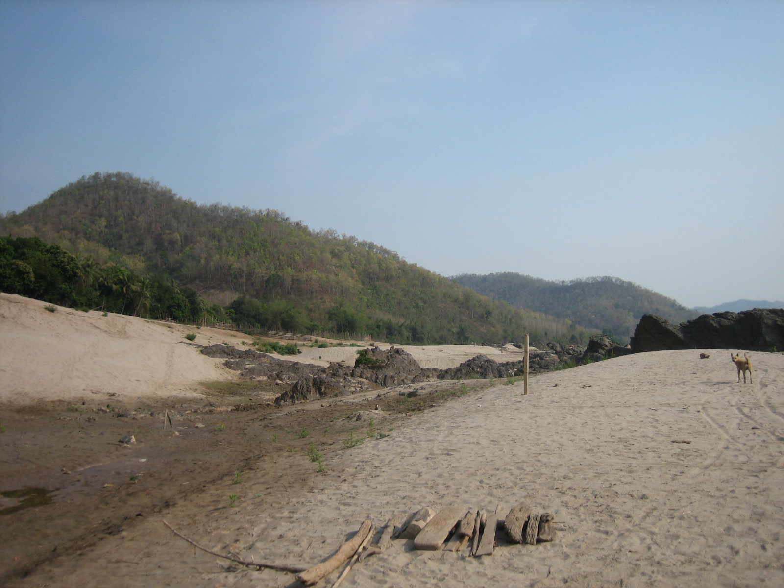
Xayaburi Mainstream Mekong Dam
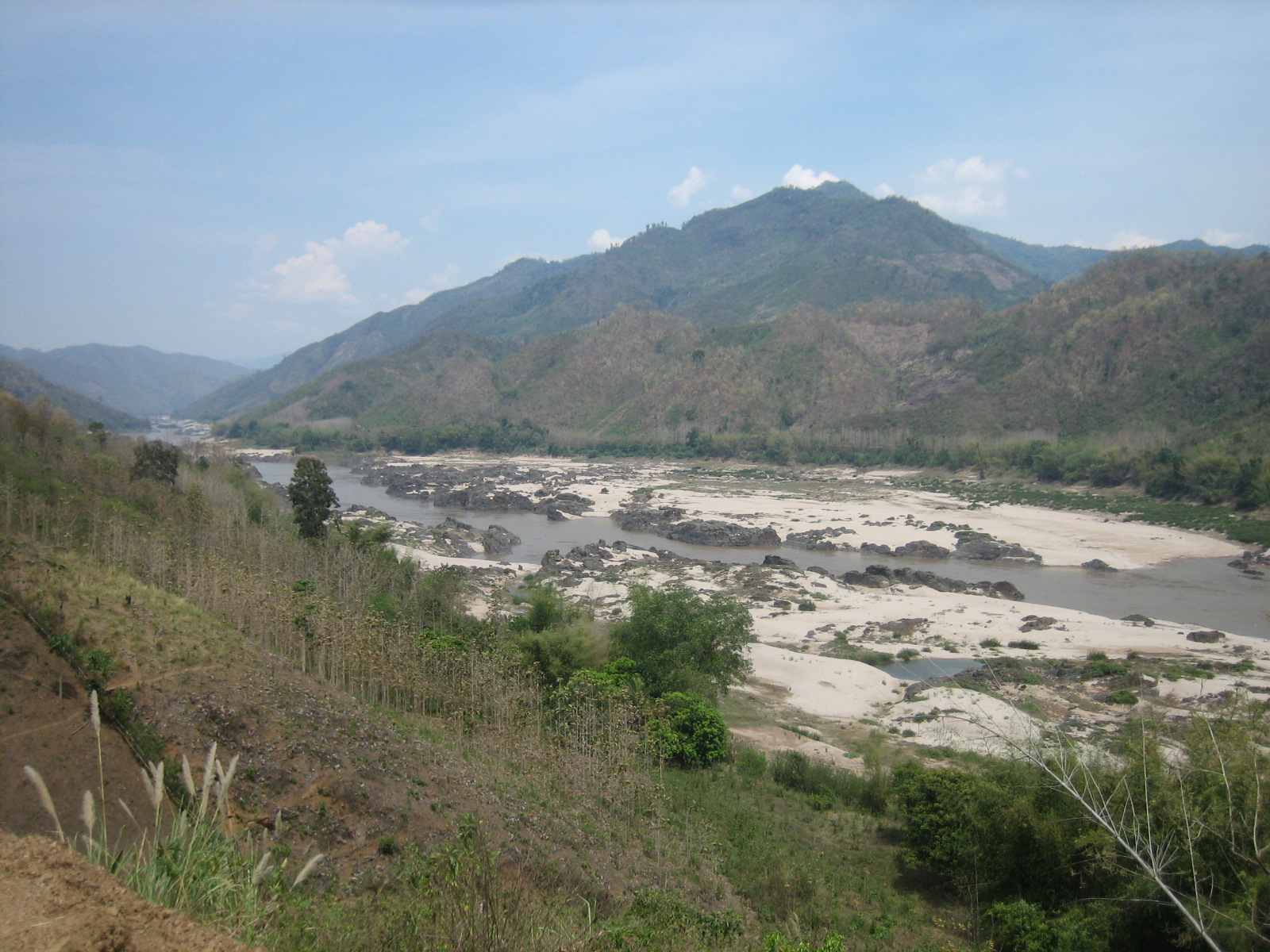
Xayaburi Mainstream Mekong Dam
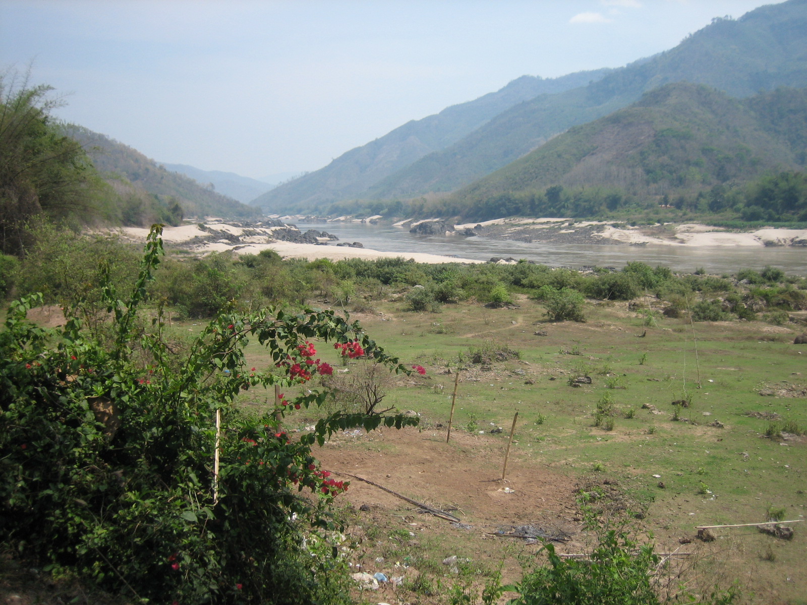
Xayaburi Mainstream Mekong Dam
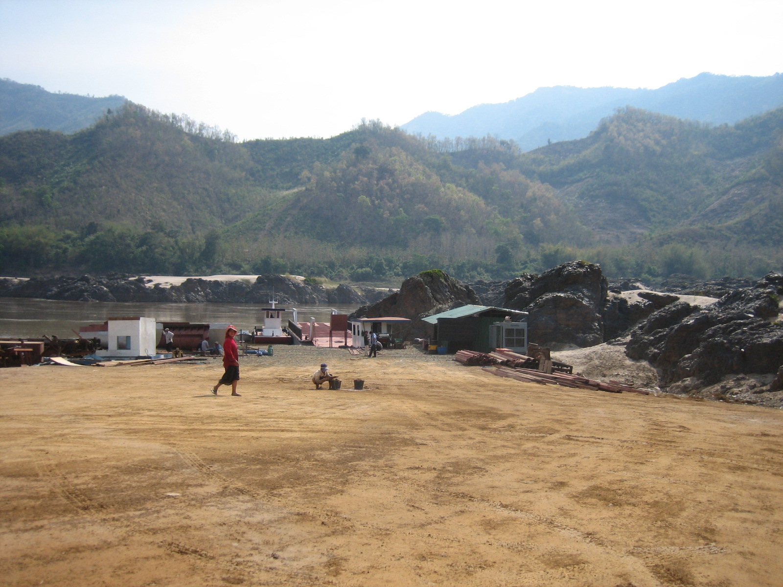
Xayaburi Mainstream Mekong Dam
Topographic Map of Sainyabuli Province, Laos
Find elevation by address:

Places in Sainyabuli Province, Laos:
Places near Sainyabuli Province, Laos:
Recent Searches:
- Elevation of Slanický ostrov, 01 Námestovo, Slovakia
- Elevation of Spaceport America, Co Rd A, Truth or Consequences, NM, USA
- Elevation of Warwick, RI, USA
- Elevation of Fern Rd, Whitmore, CA, USA
- Elevation of 62 Abbey St, Marshfield, MA, USA
- Elevation of Fernwood, Bradenton, FL, USA
- Elevation of Felindre, Swansea SA5 7LU, UK
- Elevation of Leyte Industrial Development Estate, Isabel, Leyte, Philippines
- Elevation of W Granada St, Tampa, FL, USA
- Elevation of Pykes Down, Ivybridge PL21 0BY, UK