Elevation of Saint-Pierre-de-Curtille, France
Location: France > Savoie > Rhone-alpes >
Longitude: 5.811673
Latitude: 45.776917
Elevation: 404m / 1325feet
Barometric Pressure: 97KPa
Elevation Map:
Satellite Map:
Related Photos:
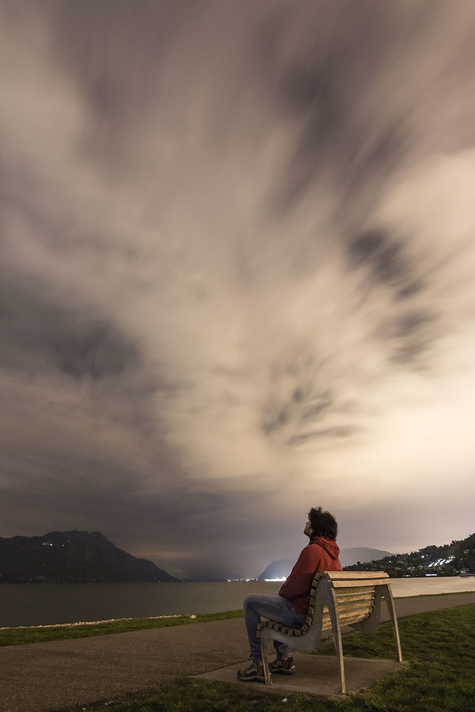
Observing the clouds.
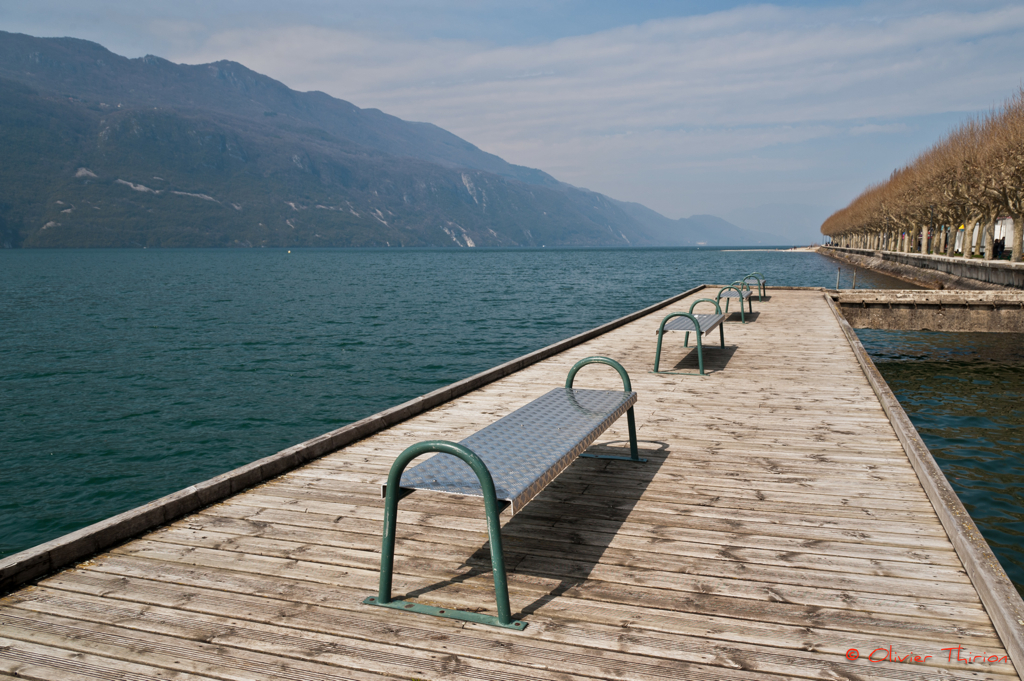
lac du Bourget (73 Savoie)
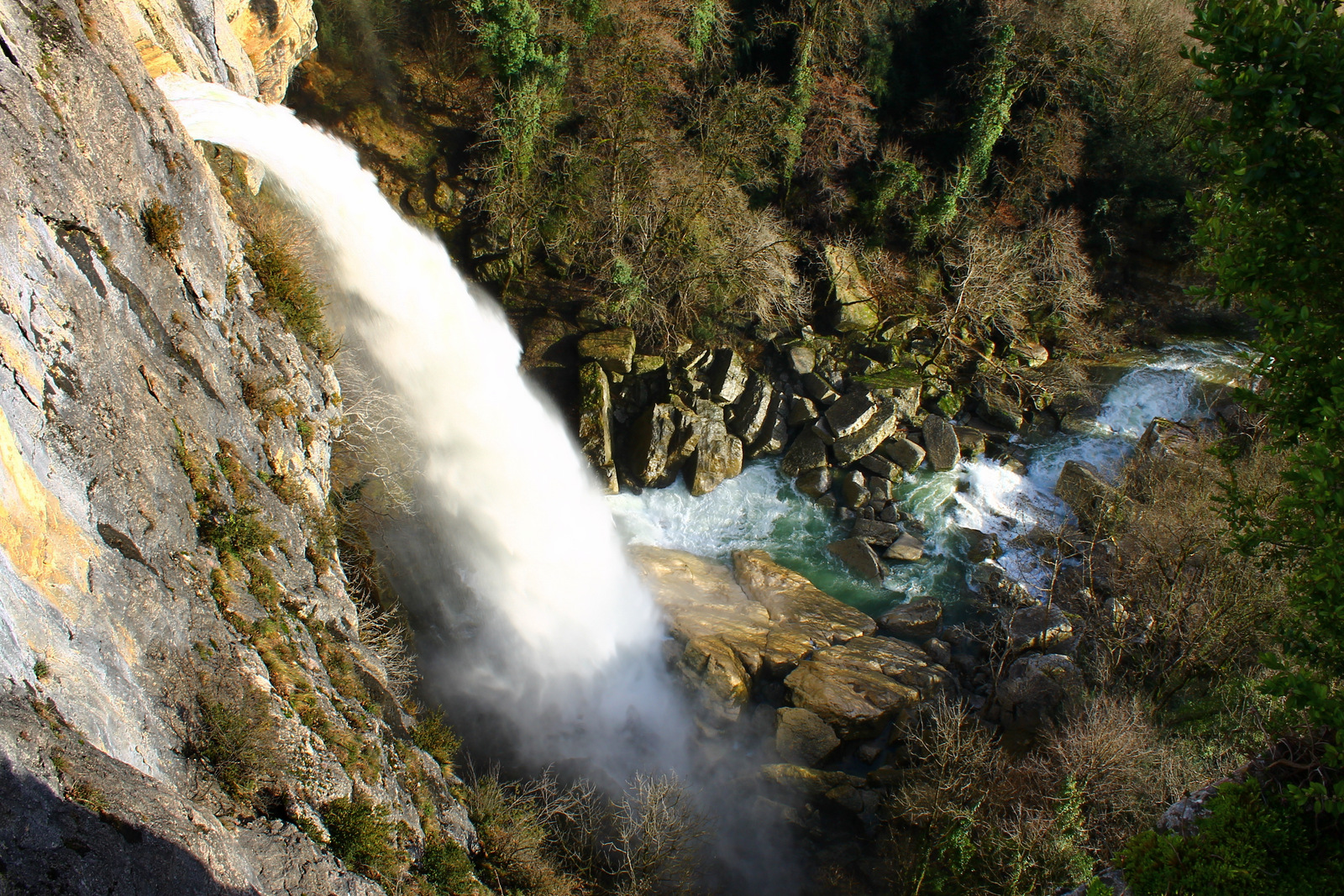
Cascade de Cerveyrieu
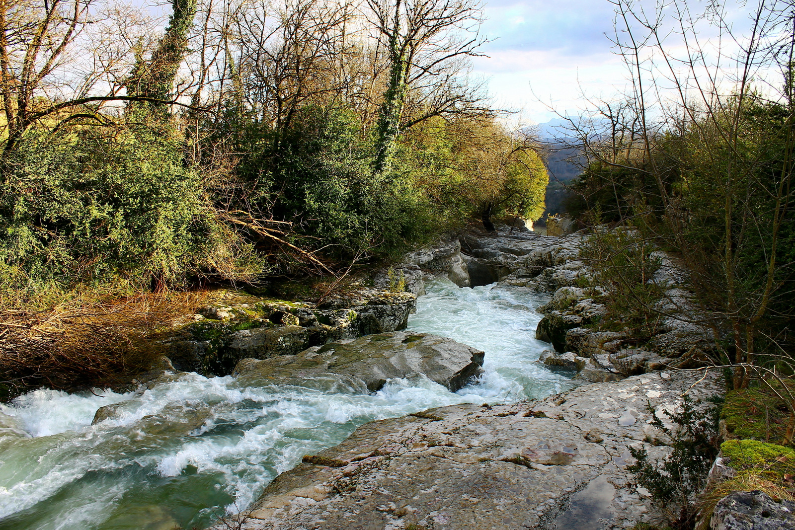
Le Séran, juste avant la cascade de Cerveyrieu
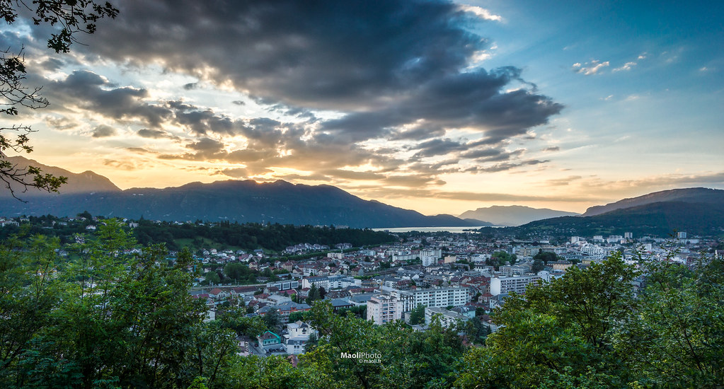
Aix-Les-Bains
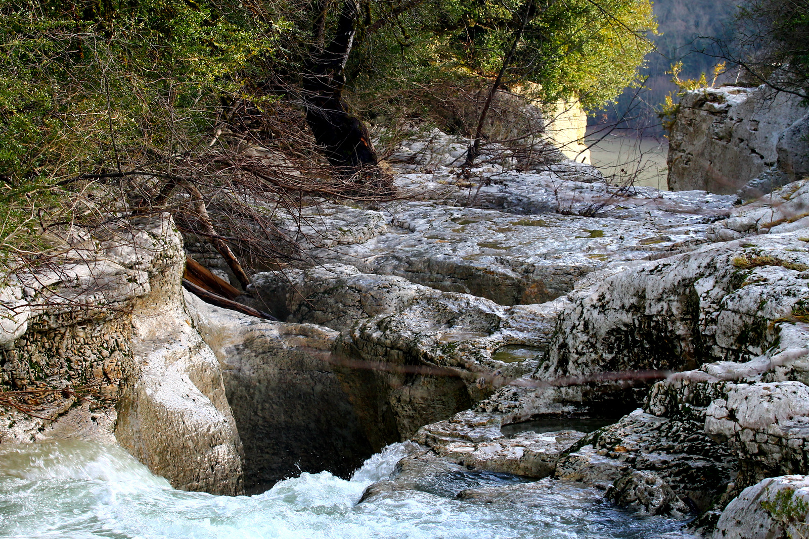
Le Séran et ses marmites, juste avant la cascade de Cerveyrieu

Lac du Bourget with mist
view of West side

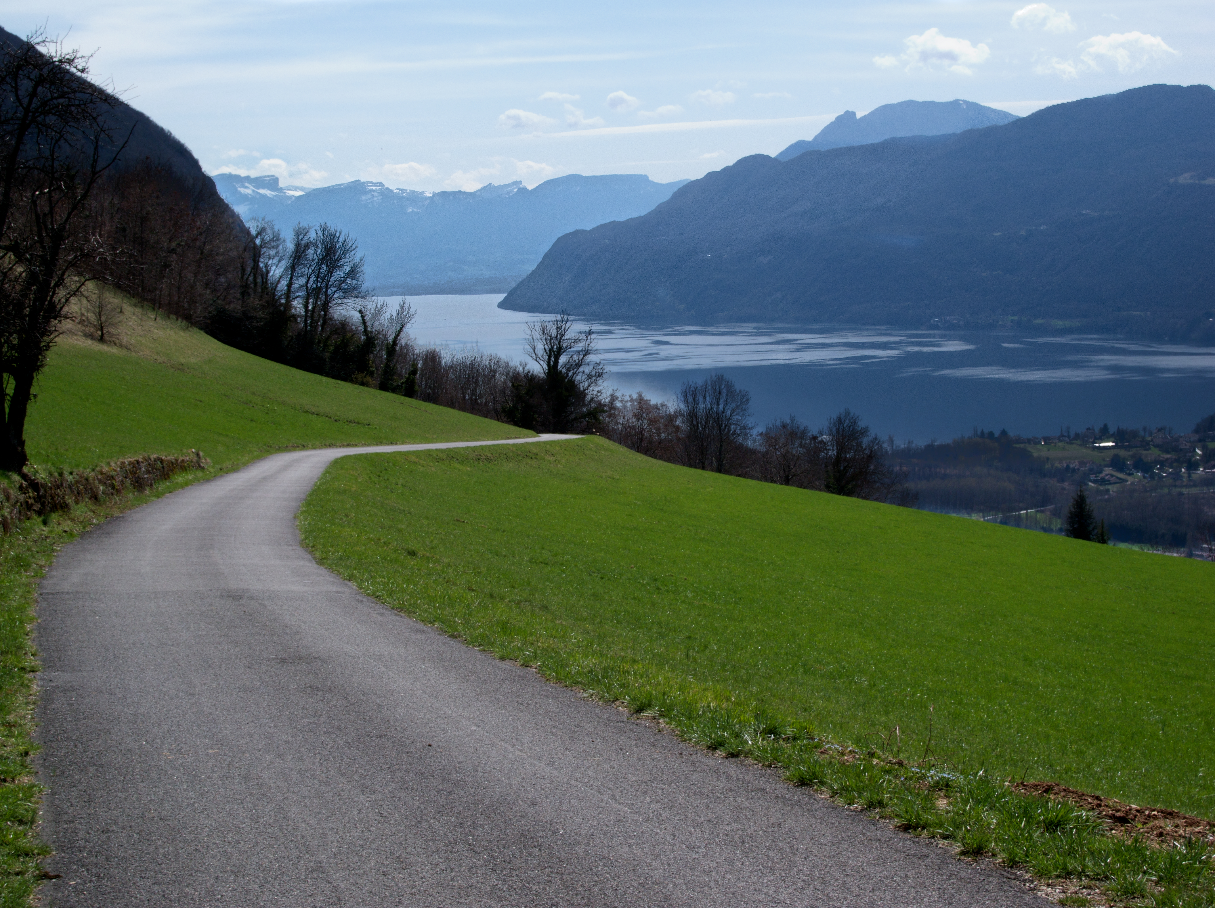
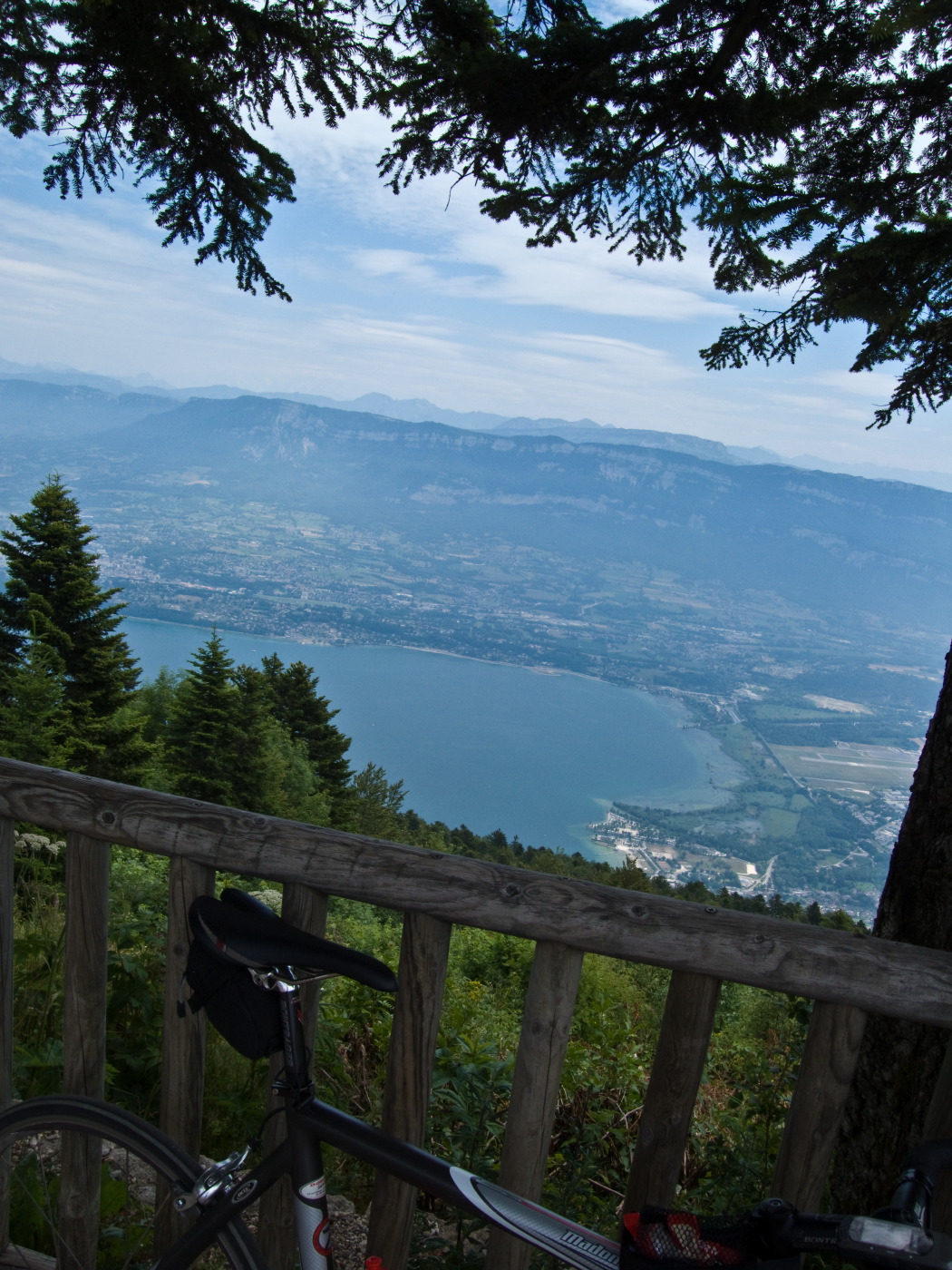
View of Lac du Bourget
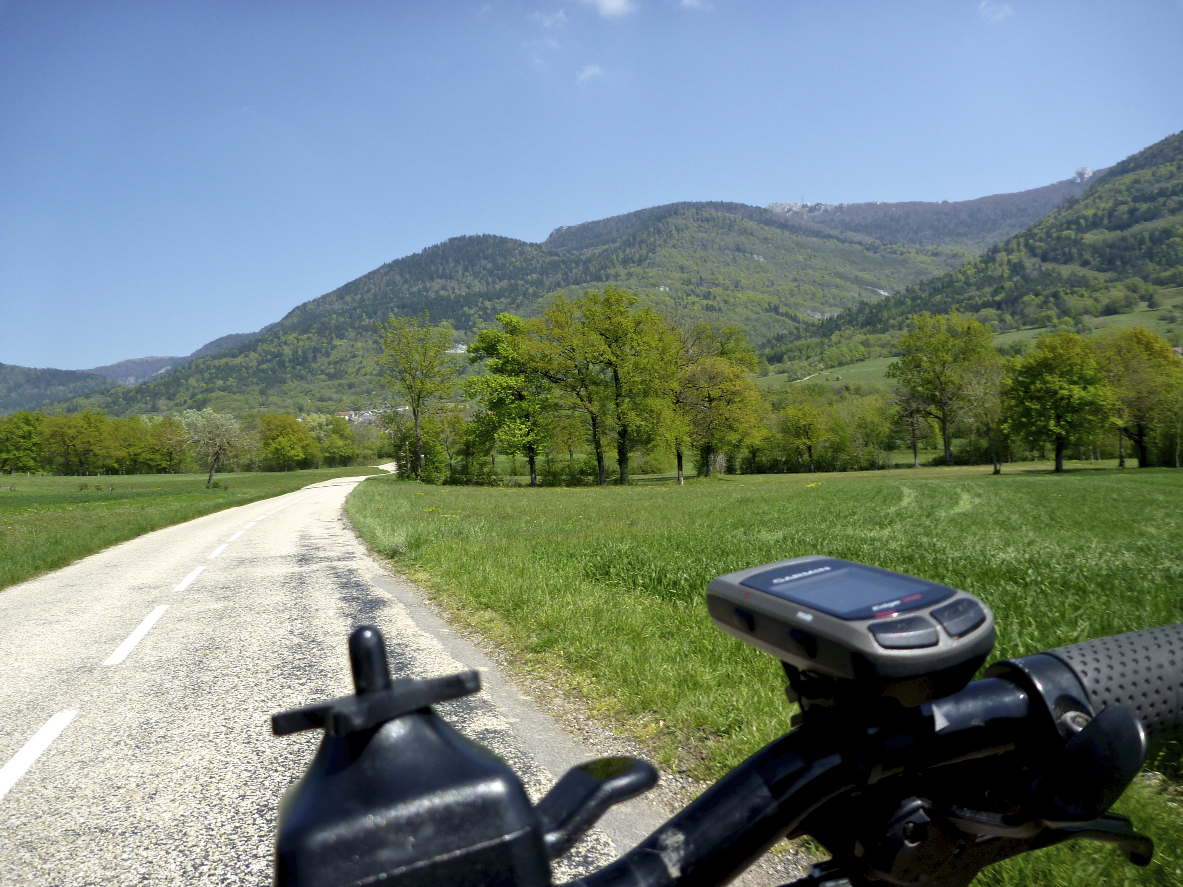
Descending Col du Sapenay
View of Lac du Bourget
Topographic Map of Saint-Pierre-de-Curtille, France
Find elevation by address:

Places near Saint-Pierre-de-Curtille, France:
Jongieux
Jongieux Le Haut
Chindrieux
Rue des Burlattes, Culoz, France
Chemin du Vinan, Chindrieux, France
Culoz
Lac Du Bourget
Culoz
667 Rue De La Craz
La Chapelle-du-mont-du-chat
Réserve Naturelle Du Marais De Lavours
Yenne
Béon
Route de Lavours, Ceyzérieu, France
84 Chemin du Rocher, Albens, France
La Biolle
70 Route du Lavoir, La Biolle, France
Route de Bourg, Chazey-Bons, France
Albens
Chazey-bons
Recent Searches:
- Elevation of Corso Fratelli Cairoli, 35, Macerata MC, Italy
- Elevation of Tallevast Rd, Sarasota, FL, USA
- Elevation of 4th St E, Sonoma, CA, USA
- Elevation of Black Hollow Rd, Pennsdale, PA, USA
- Elevation of Oakland Ave, Williamsport, PA, USA
- Elevation of Pedrógão Grande, Portugal
- Elevation of Klee Dr, Martinsburg, WV, USA
- Elevation of Via Roma, Pieranica CR, Italy
- Elevation of Tavkvetili Mountain, Georgia
- Elevation of Hartfords Bluff Cir, Mt Pleasant, SC, USA