Elevation of Saint Malo, MB R0A, Canada
Location: Canada > Manitoba > Division No. 2 > De Salaberry >
Longitude: -96.953615
Latitude: 49.3140936
Elevation: 252m / 827feet
Barometric Pressure: 98KPa
Elevation Map:
Satellite Map:
Related Photos:

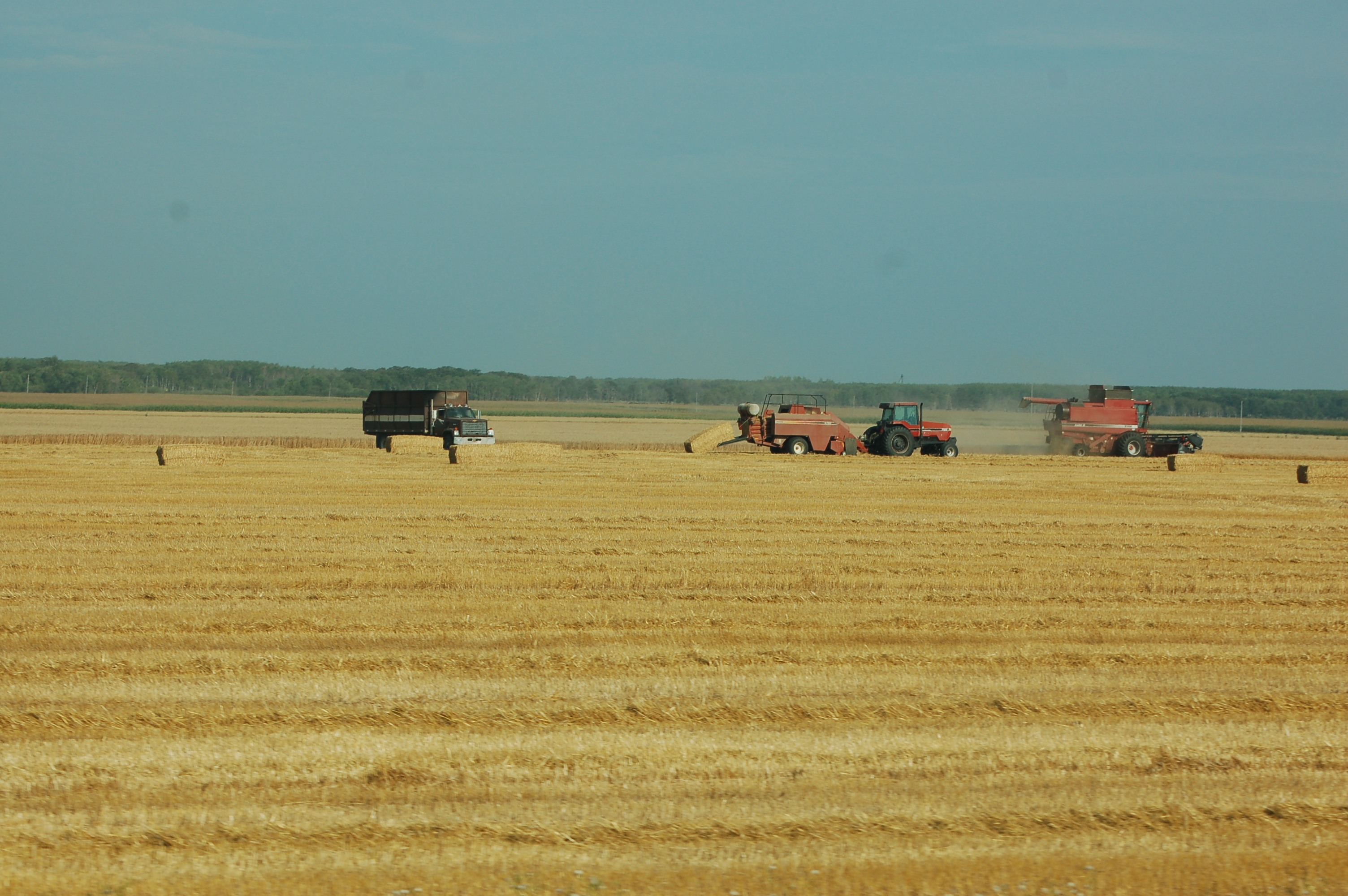
The hay rake
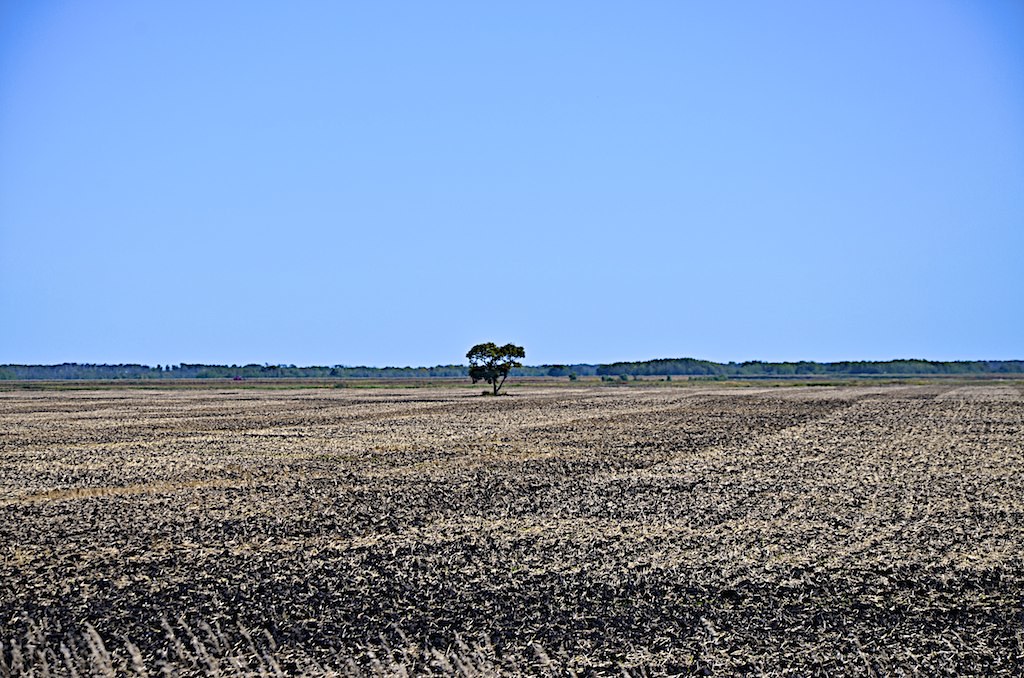
Lonely on far field
Im Abendlicht

Abhängen bei 23° und schönstem Herbstwetter
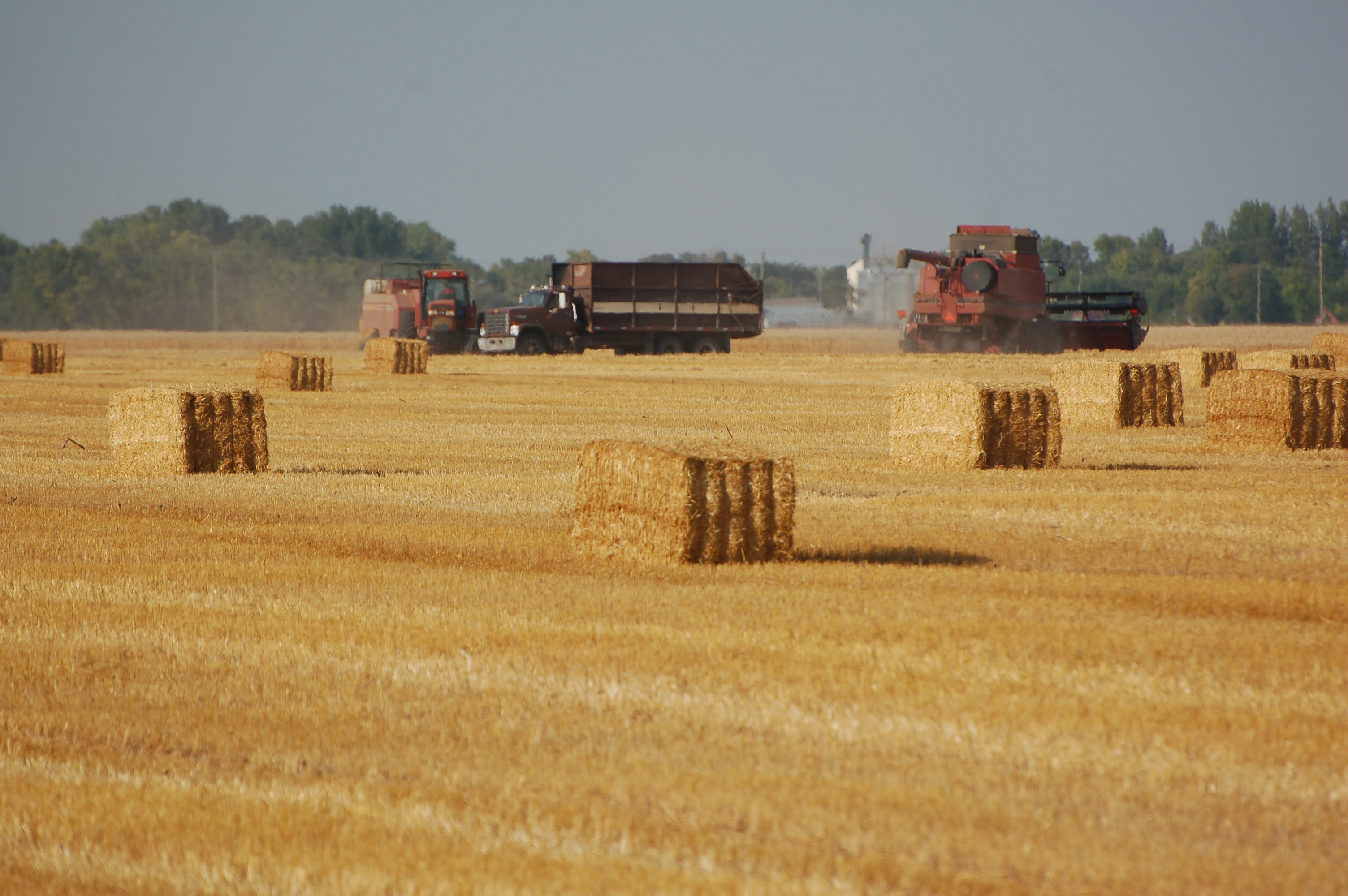
Manitoba - 2013-08-418

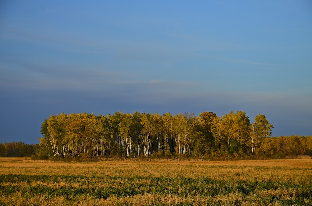
Sunset in Manitoba
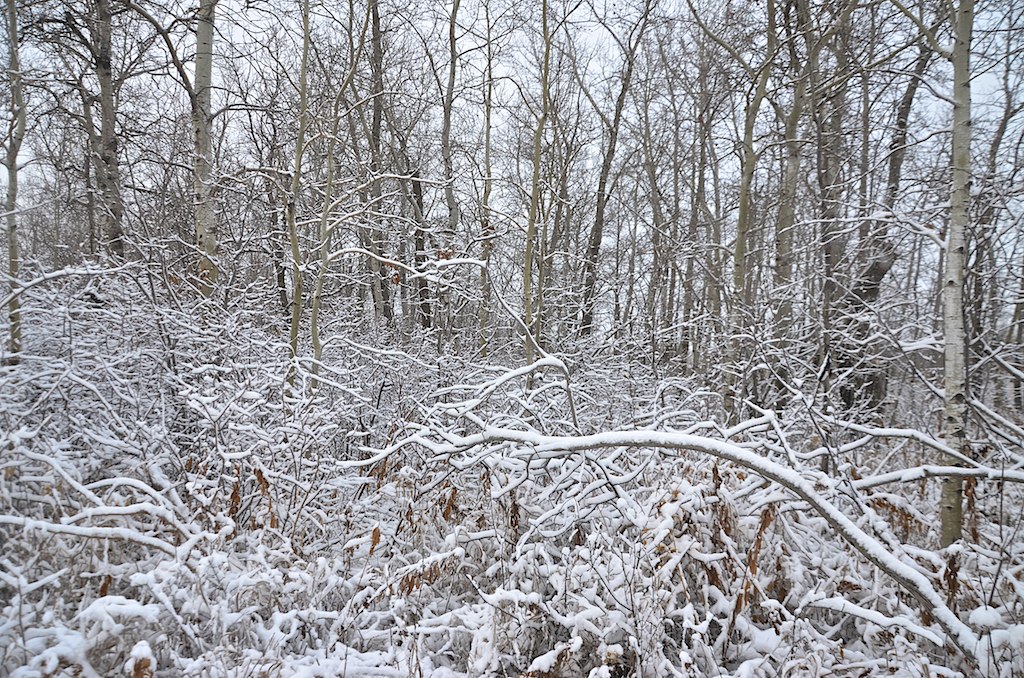
Fall of snow
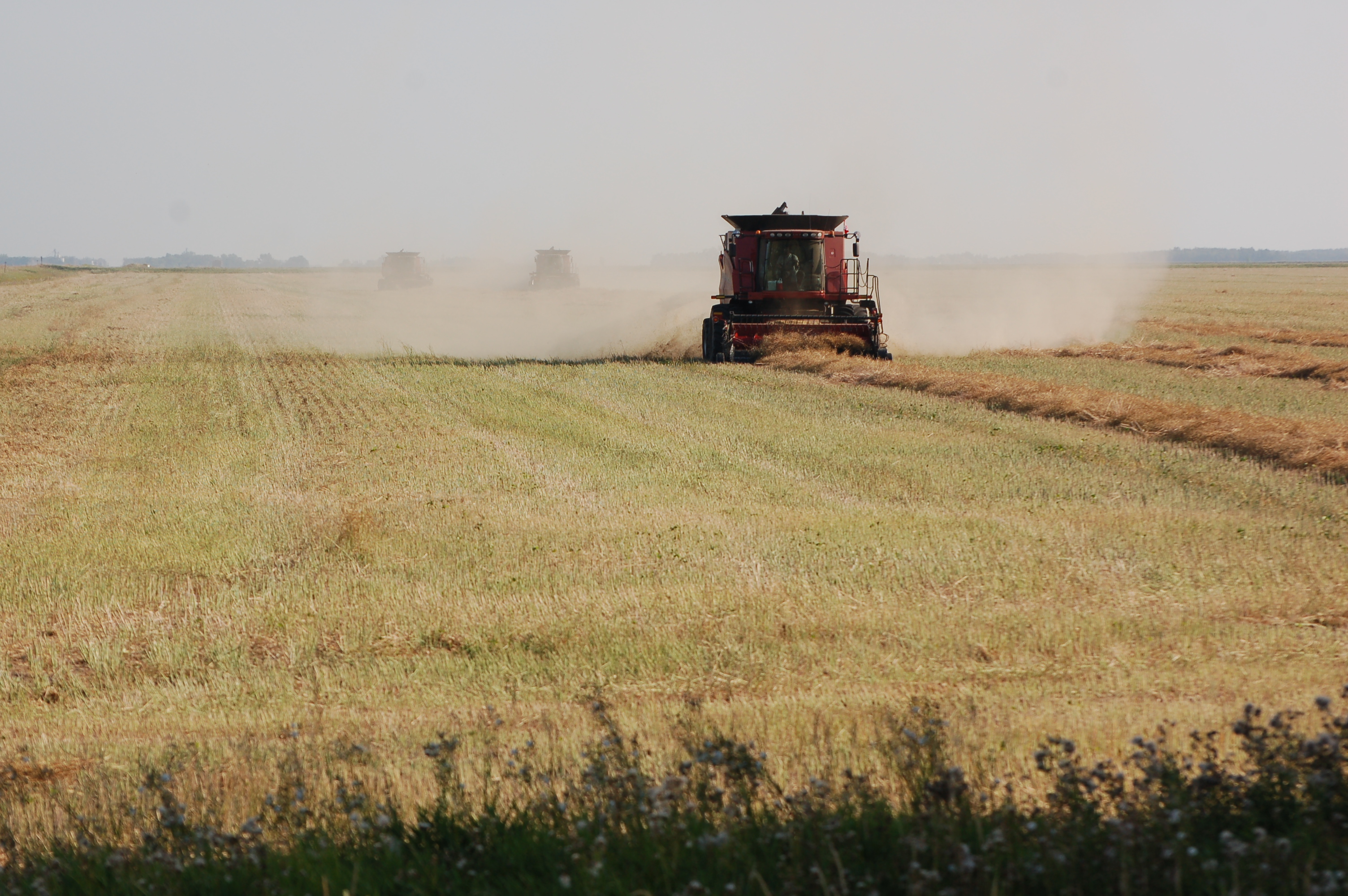
Manitoba - 2013-08-423
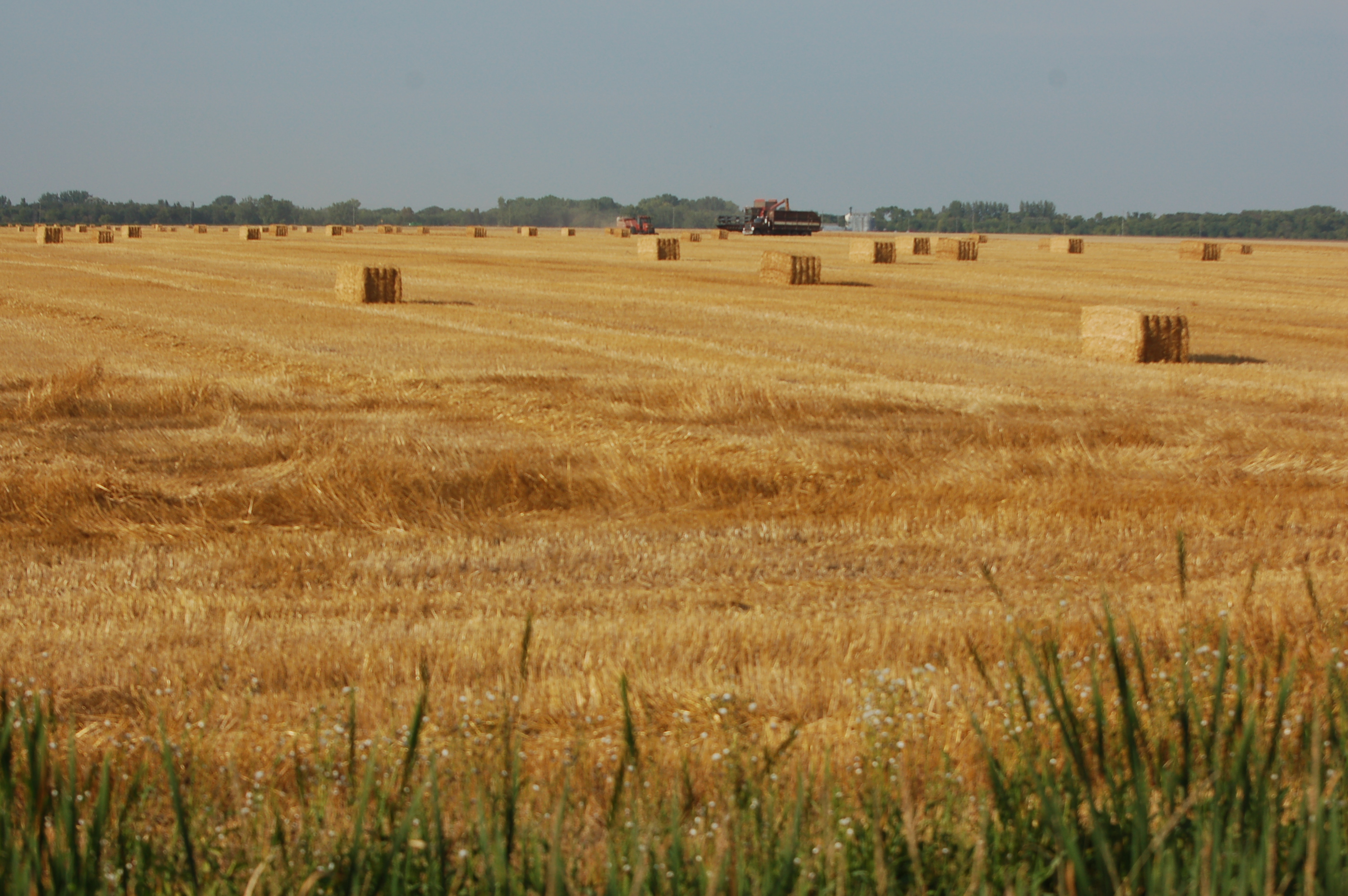
Manitoba - 2013-08-414

Manitoba - 2013-08-416

Manitoba - 2013-08-424
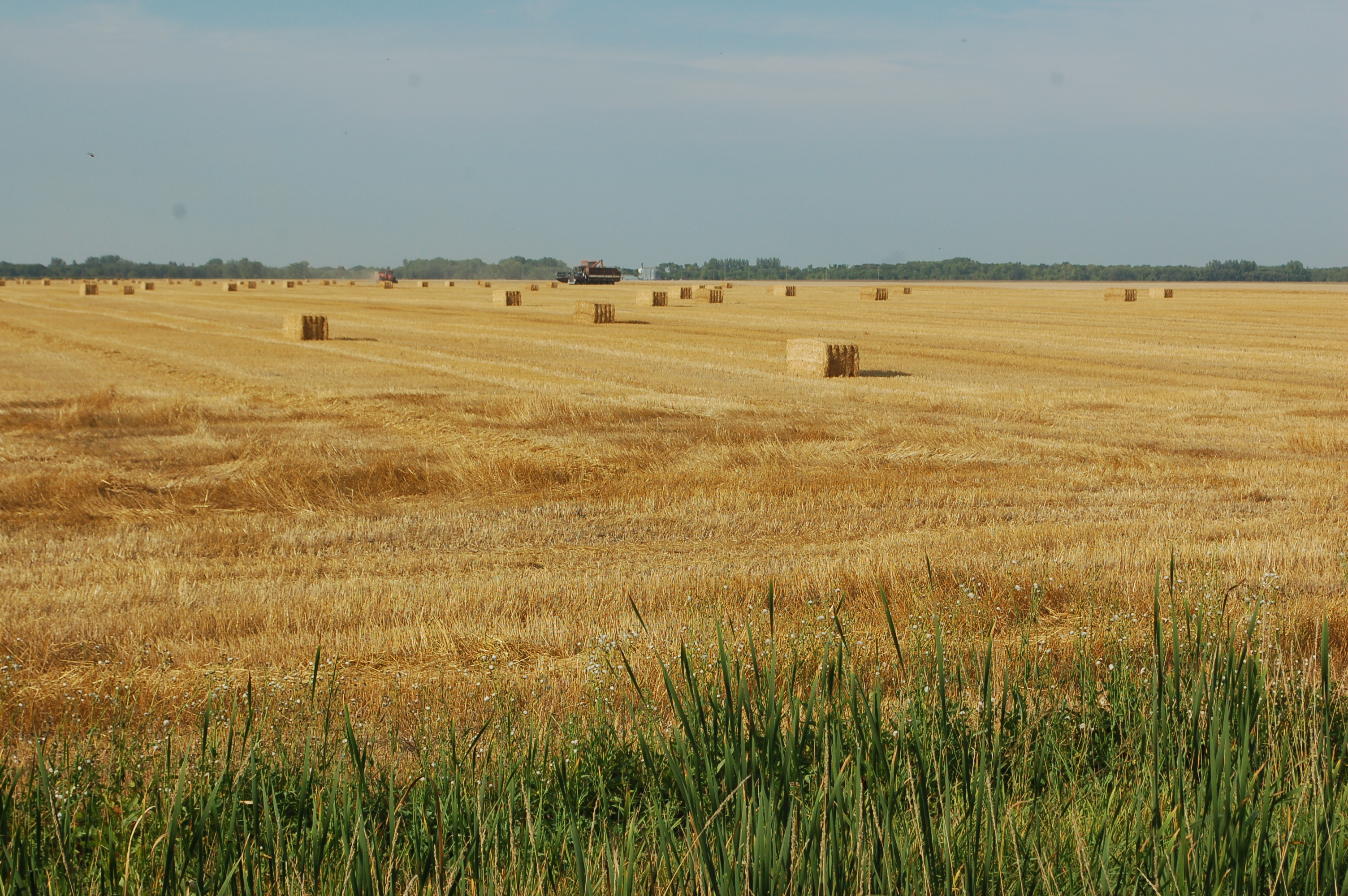
Manitoba - 2013-08-412
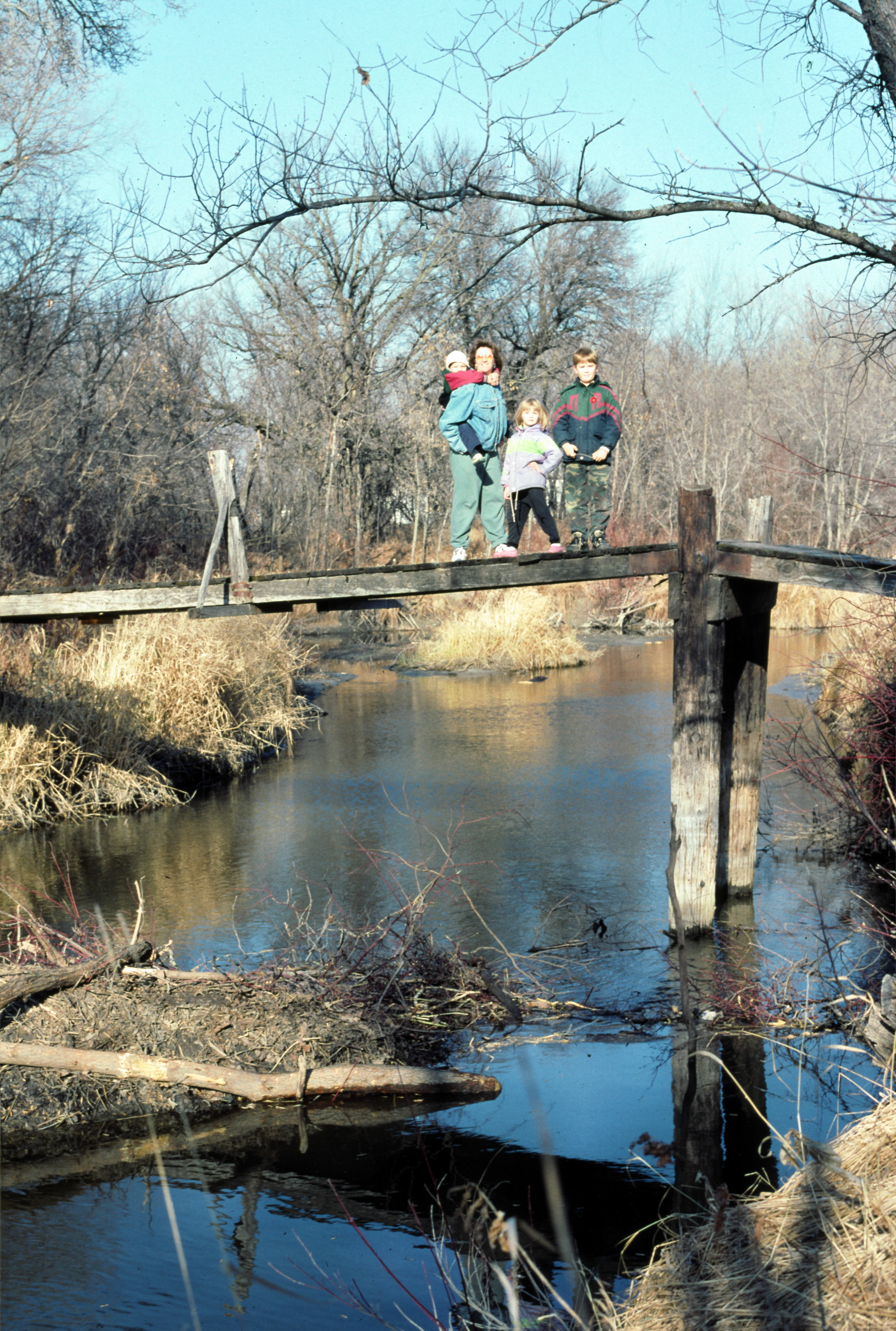
Manitoba - 1999 (159-27)

Manitoba - 2013-08-417
Manitoba - 2013-08-415

Manitoba - 2013-08-430

2008Aug30-132
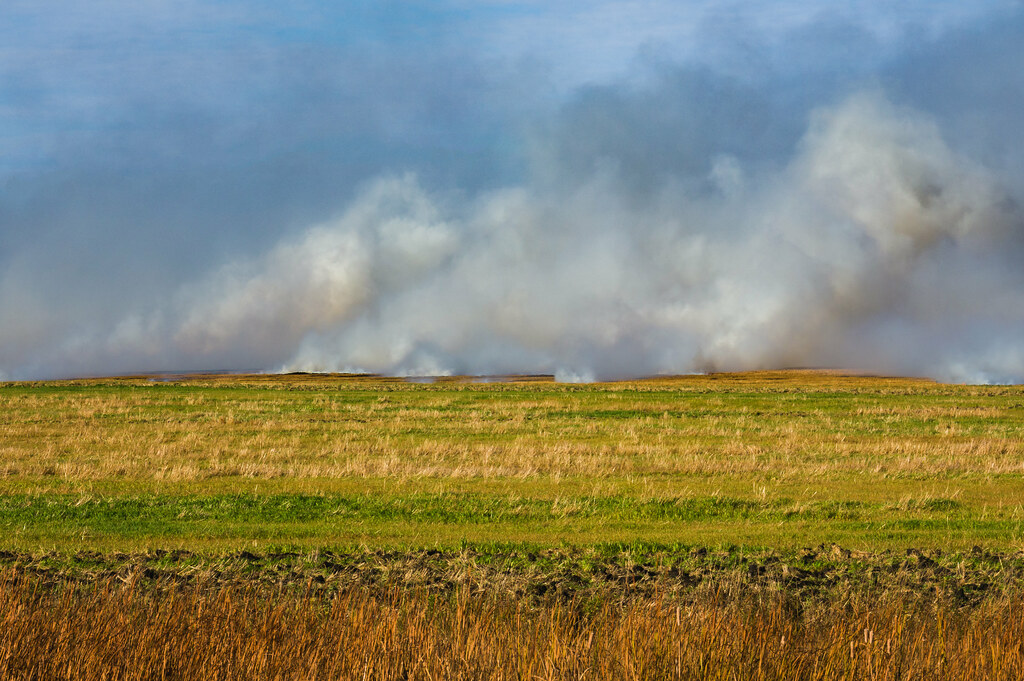
Prairie Fire

St. Malo Grotto

Manitoba - 2013-08-433
Manitoba - 2013-08-428
Topographic Map of Saint Malo, MB R0A, Canada
Find elevation by address:

Places in Saint Malo, MB R0A, Canada:
Places near Saint Malo, MB R0A, Canada:
St Malo Ave, Saint Malo, MB R0A 1T0, Canada
St Malo Beach
East Lakeshore Road
Grunthal
Division No. 2
Hochstadt Dr, Kleefeld, MB R0A 0V0, Canada
Hochstadt
7 3 St, Kleefeld, MB R0A 0V0, Canada
Kleefeld
Hanover
Mitchell
Parkhill Place
50 Parkhill Cres, Steinbach, MB R5G 0L2, Canada
Steinbach
15 Siskin Bay
Landmark
Blumenort School
Center Ave, Blumenort, MB R0A 0C0, Canada
Blumenort
Taché
Recent Searches:
- Elevation of Corso Fratelli Cairoli, 35, Macerata MC, Italy
- Elevation of Tallevast Rd, Sarasota, FL, USA
- Elevation of 4th St E, Sonoma, CA, USA
- Elevation of Black Hollow Rd, Pennsdale, PA, USA
- Elevation of Oakland Ave, Williamsport, PA, USA
- Elevation of Pedrógão Grande, Portugal
- Elevation of Klee Dr, Martinsburg, WV, USA
- Elevation of Via Roma, Pieranica CR, Italy
- Elevation of Tavkvetili Mountain, Georgia
- Elevation of Hartfords Bluff Cir, Mt Pleasant, SC, USA