Elevation of Saint Louis Co, St Louis Co, New Independence Township, MN, USA
Location: United States > Minnesota > St. Louis County >
Longitude: -92.470708
Latitude: 46.960208
Elevation: 407m / 1335feet
Barometric Pressure: 97KPa
Elevation Map:
Satellite Map:
Related Photos:
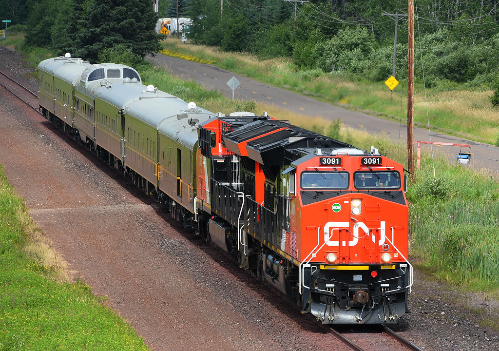
CN Inspection Train
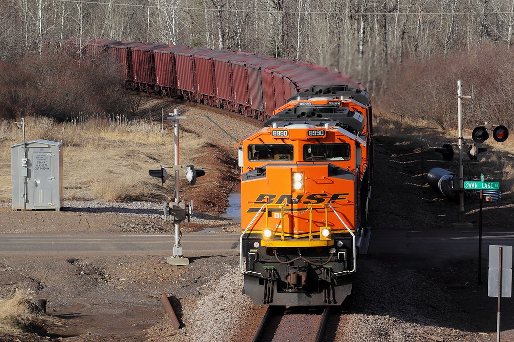
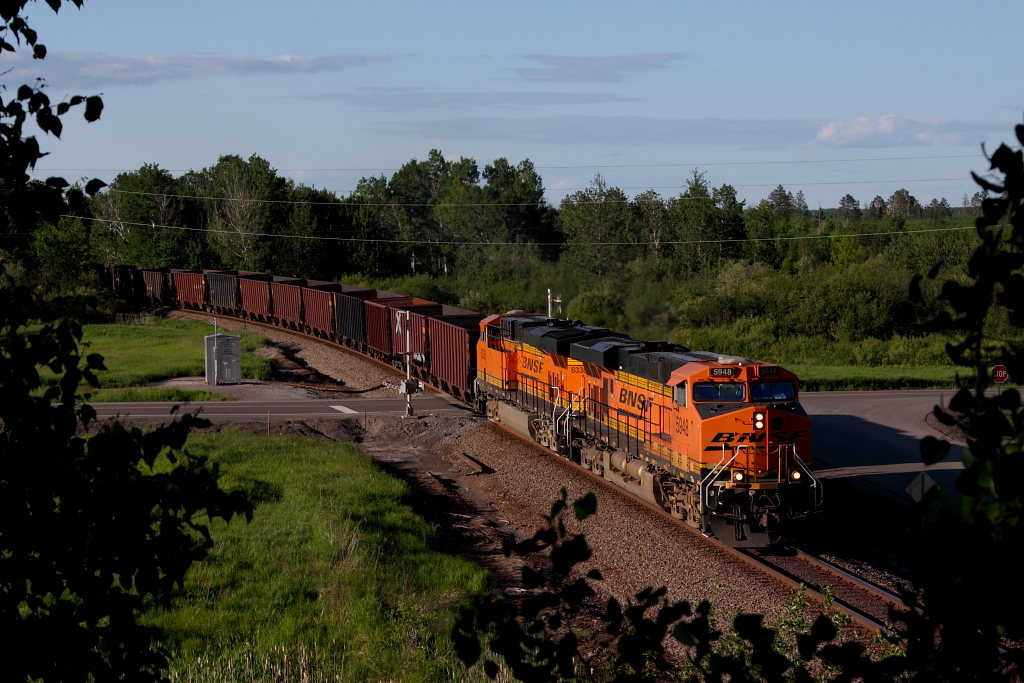
BNSF 8990 East

Rear View and a Deck
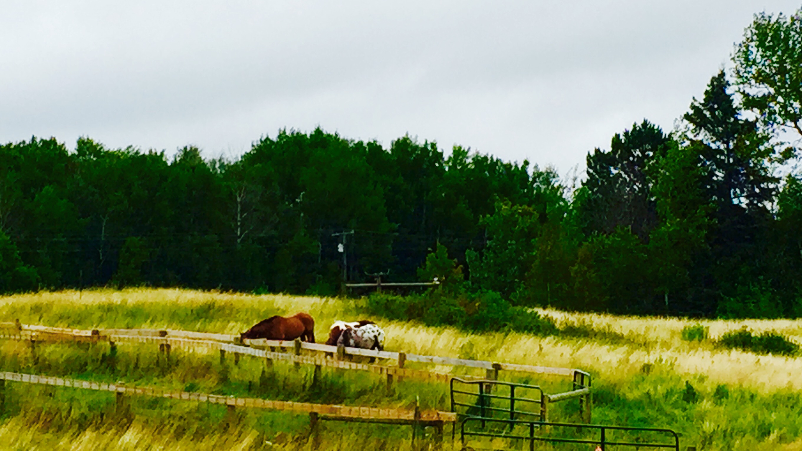
Burnett, MN
HTE Archives
HTE Archives
KEEBIR Alborn
HTE Archives
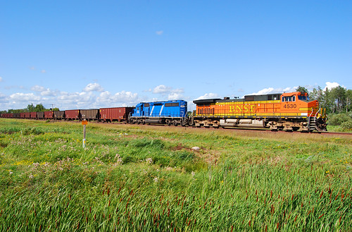
BNSF 4530 CN Missabe Sub
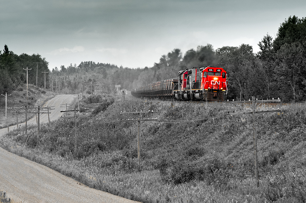
DMIR 405 Burnett

128.93 Megapixel Photo

Four-spotted Skimmer

Sunset on fish lake
Topographic Map of Saint Louis Co, St Louis Co, New Independence Township, MN, USA
Find elevation by address:

Places near Saint Louis Co, St Louis Co, New Independence Township, MN, USA:
Sunset Lake Drive
Industrial Township
Hwy 8, Saginaw, MN, USA
Berg Lind Rd, Alborn, MN, USA
W Lake Rd, Saginaw, MN, USA
Saginaw
Alborn
Grand Lake Township
Munger Shaw Rd, Saginaw, MN, USA
Alborn, MN, USA
Alborn Township
Culver Township
2nd Ave, Brookston, MN, USA
Brookston
5904 N Pike Lake Rd
5904 N Pike Lake Rd
5904 N Pike Lake Rd
Pike Lake
Old Hwy 2, Proctor, MN, USA
US-53, Cotton, MN, USA
Recent Searches:
- Elevation of 7 Waterfall Way, Tomball, TX, USA
- Elevation of SW 57th Ave, Portland, OR, USA
- Elevation of Crocker Dr, Vacaville, CA, USA
- Elevation of Pu Ngaol Community Meeting Hall, HWHM+3X7, Krong Saen Monourom, Cambodia
- Elevation of Royal Ontario Museum, Queens Park, Toronto, ON M5S 2C6, Canada
- Elevation of Groblershoop, South Africa
- Elevation of Power Generation Enterprises | Industrial Diesel Generators, Oak Ave, Canyon Country, CA, USA
- Elevation of Chesaw Rd, Oroville, WA, USA
- Elevation of N, Mt Pleasant, UT, USA
- Elevation of 6 Rue Jules Ferry, Beausoleil, France