Elevation map of Saint Catherine, South Sinai Governorate, Egypt
Location: Egypt > South Sinai Governorate >
Longitude: 34.1086793
Latitude: 28.7905197
Elevation: 1241m / 4072feet
Barometric Pressure: 87KPa
Elevation Map:
Satellite Map:
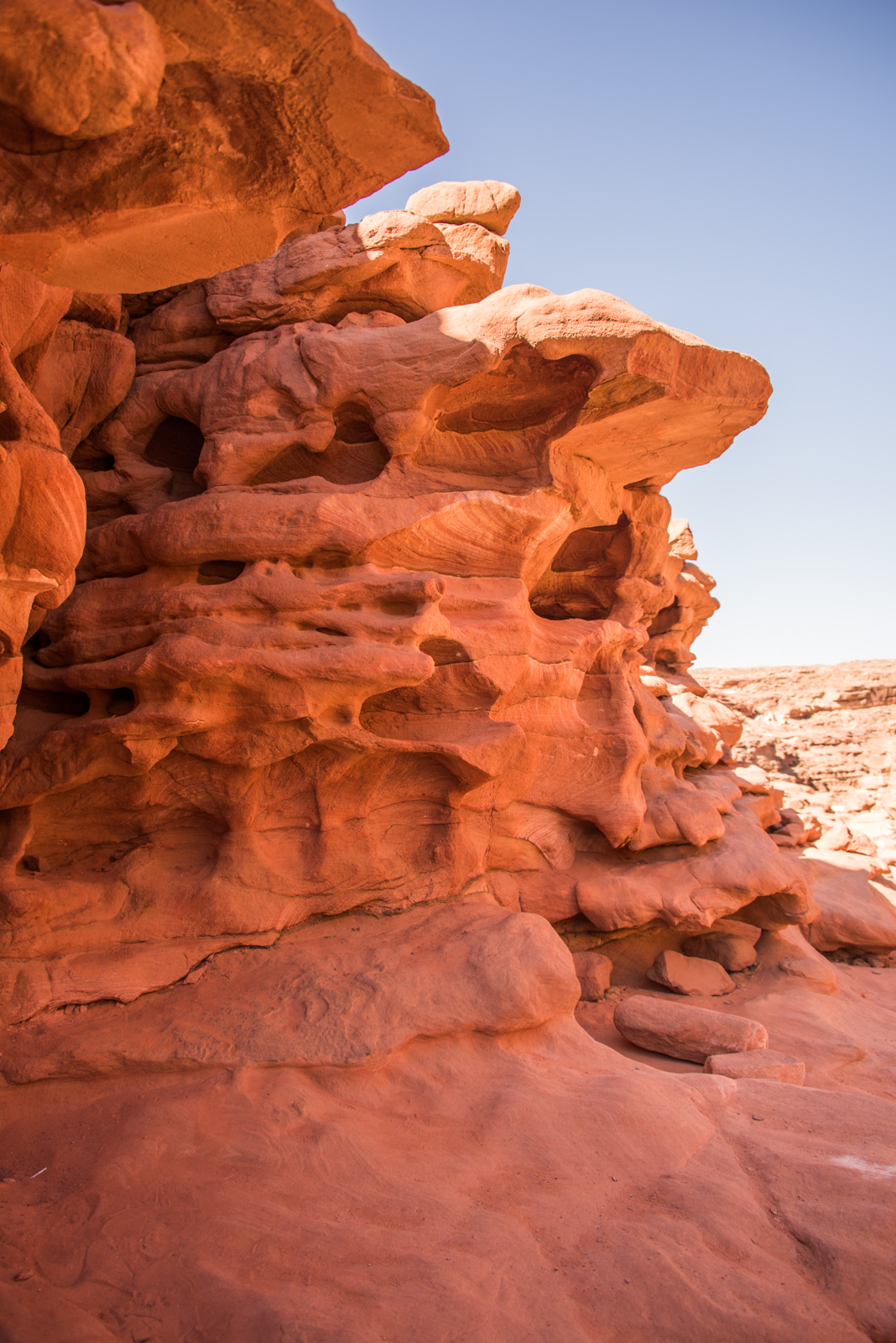
Related Photos:

Wispy Light, Mount Sinai

Mountains Around Mount Sinai

Sunset at Mount Sinai

Mounts Around Mount Sinai
DSC_4969.jpg

Ant trail

Sinai Shrine

Late Afternoon at Mount Sinai

DSC_5046.jpg

Shops at the Top of Mount Sinai

Beagle in the Rocks
Topographic Map of Saint Catherine, South Sinai Governorate, Egypt
Find elevation by address:

Places in Saint Catherine, South Sinai Governorate, Egypt:
Places near Saint Catherine, South Sinai Governorate, Egypt:
Qesm Saint Katrin
Saint Catherine's Monastery
Jabal Mousa
Qesm Dahab
Dahab
South Sinai Governorate
El Muzayanah Nuweiba
Nuweibaa
Qesm Sharm Ash Sheikh
Qesm Nwebaa
The Interuniversity Institute For Marine Sciences In Eilat (iui)
Recent Searches:
- Elevation of Woodland Oak Pl, Thousand Oaks, CA, USA
- Elevation of Brownsdale Rd, Renfrew, PA, USA
- Elevation of Corcoran Ln, Suffolk, VA, USA
- Elevation of Mamala II, Sariaya, Quezon, Philippines
- Elevation of Sarangdanda, Nepal
- Elevation of 7 Waterfall Way, Tomball, TX, USA
- Elevation of SW 57th Ave, Portland, OR, USA
- Elevation of Crocker Dr, Vacaville, CA, USA
- Elevation of Pu Ngaol Community Meeting Hall, HWHM+3X7, Krong Saen Monourom, Cambodia
- Elevation of Royal Ontario Museum, Queens Park, Toronto, ON M5S 2C6, Canada