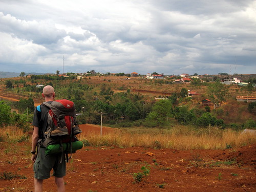
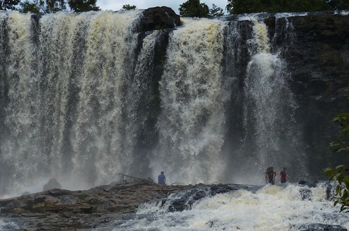
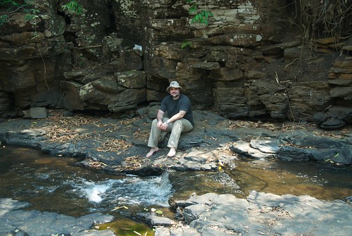
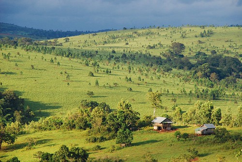
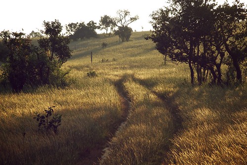
Elevation of Saen Monourom, Krong Saen Monourom, Cambodia
Location: Cambodia > Mondulkiri >
Longitude: 107.148452
Latitude: 12.4747209
Elevation: 620m / 2034feet
Barometric Pressure: 94KPa
Related Photos:
Topographic Map of Saen Monourom, Krong Saen Monourom, Cambodia
Find elevation by address:

Places in Saen Monourom, Krong Saen Monourom, Cambodia:
Places near Saen Monourom, Krong Saen Monourom, Cambodia:
Krong Saen Monourom
Bousra Waterfall
Bou Sra
Dak Nong
Đăk Song District
Phước Long
Gia Nghĩa
Đăk Glong District
Bảo Lâm District
Lộc Quảng
Tân Phú District
Dự án Sun Valley Bảo Lộc
Sun Valley Bảo Lộc
Bảo Lộc
Phú Lập
Madagui Forest City
Chợ Thị Trấn Madagui
Phường Lộc Sơn
Đạ Huoai District
Bảo Lộc
Recent Searches:
- Elevation of Royal Ontario Museum, Queens Park, Toronto, ON M5S 2C6, Canada
- Elevation of Groblershoop, South Africa
- Elevation of Power Generation Enterprises | Industrial Diesel Generators, Oak Ave, Canyon Country, CA, USA
- Elevation of Chesaw Rd, Oroville, WA, USA
- Elevation of N, Mt Pleasant, UT, USA
- Elevation of 6 Rue Jules Ferry, Beausoleil, France
- Elevation of Sattva Horizon, 4JC6+G9P, Vinayak Nagar, Kattigenahalli, Bengaluru, Karnataka, India
- Elevation of Great Brook Sports, Gold Star Hwy, Groton, CT, USA
- Elevation of 10 Mountain Laurels Dr, Nashua, NH, USA
- Elevation of 16 Gilboa Ln, Nashua, NH, USA
