Elevation map of Sadiqabad, Rahim Yar Khan, Punjab, Pakistan
Location: Pakistan > Punjab > Rahim Yar Khan >
Longitude: 70.0026756
Latitude: 28.3221716
Elevation: 76m / 249feet
Barometric Pressure: 100KPa
Elevation Map:
Satellite Map:
Related Photos:

You're spotted!

Colors ii

Last sunset of 2015

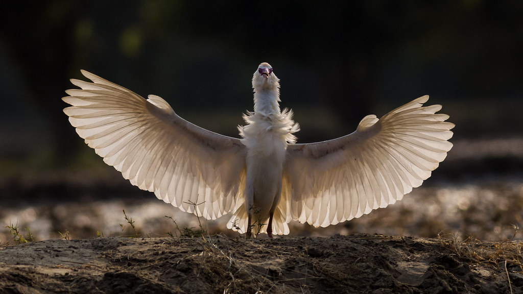
Cattle egret

BW&R

Stranger 9/100

Counting his blessings

Wheel of bokeh

Roller show

Magic of light

Take off

Plain tiger

Diamonds in the air

Magic of light

Streets of Sadiqabad

Indian Roller

Indian roller

Going home

Plain tiger

Bokehlicious egret
King's Landing
Topographic Map of Sadiqabad, Rahim Yar Khan, Punjab, Pakistan
Find elevation by address:

Places in Sadiqabad, Rahim Yar Khan, Punjab, Pakistan:
Places near Sadiqabad, Rahim Yar Khan, Punjab, Pakistan:
Fatima Fertilizer Company Limited
Mukhtargarh
Guddu Barrage
Rahim Yar Khan
Guddu
Kashmore
Sui
Sui Airport
Rajanpur
Dera Bugti
Recent Searches:
- Elevation of Lampiasi St, Sarasota, FL, USA
- Elevation of Elwyn Dr, Roanoke Rapids, NC, USA
- Elevation of Congressional Dr, Stevensville, MD, USA
- Elevation of Bellview Rd, McLean, VA, USA
- Elevation of Stage Island Rd, Chatham, MA, USA
- Elevation of Shibuya Scramble Crossing, 21 Udagawacho, Shibuya City, Tokyo -, Japan
- Elevation of Jadagoniai, Kaunas District Municipality, Lithuania
- Elevation of Pagonija rock, Kranto 7-oji g. 8"N, Kaunas, Lithuania
- Elevation of Co Rd 87, Jamestown, CO, USA
- Elevation of Tenjo, Cundinamarca, Colombia