Elevation of Sadie Ln, Chehalis, WA, USA
Location: United States > Washington > Lewis County > Chehalis >
Longitude: -122.96228
Latitude: 46.614676
Elevation: 122m / 400feet
Barometric Pressure: 100KPa
Elevation Map:
Satellite Map:
Related Photos:

a2001-15-04

Aerial view of I-5 in Chehalis

Aerial view of I-5 in Chehalis

Snow and rain

The Road from Winlock

The Largest Egg in the World

a2003-14-31

Governor Gregoire

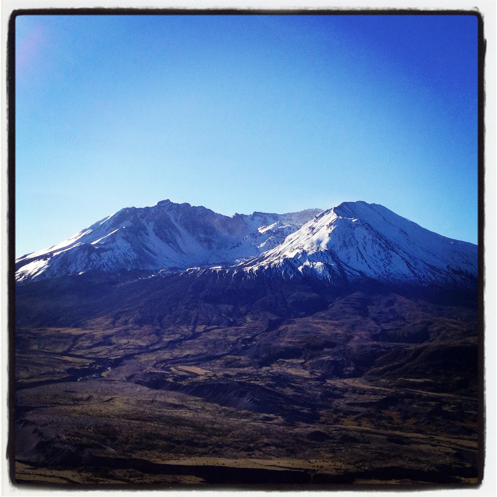
Mount Saint Helen's
Fly Ball.... er.... Rock....
The Mummy Lives!

DSCN1621.JPG
DSCN1625.JPG

DSCN1622.JPG
DSCN1624.JPG
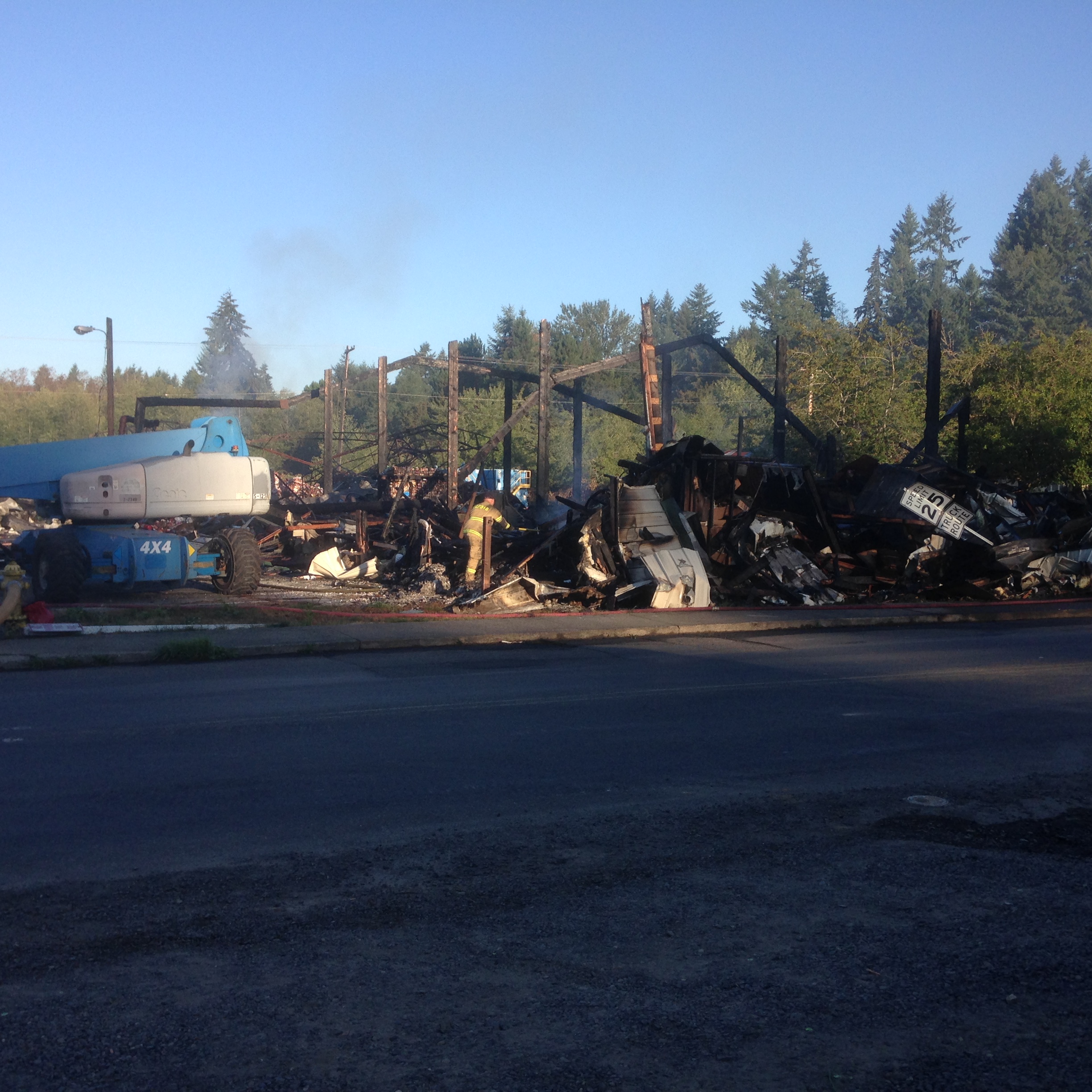
Warehouse wreckage
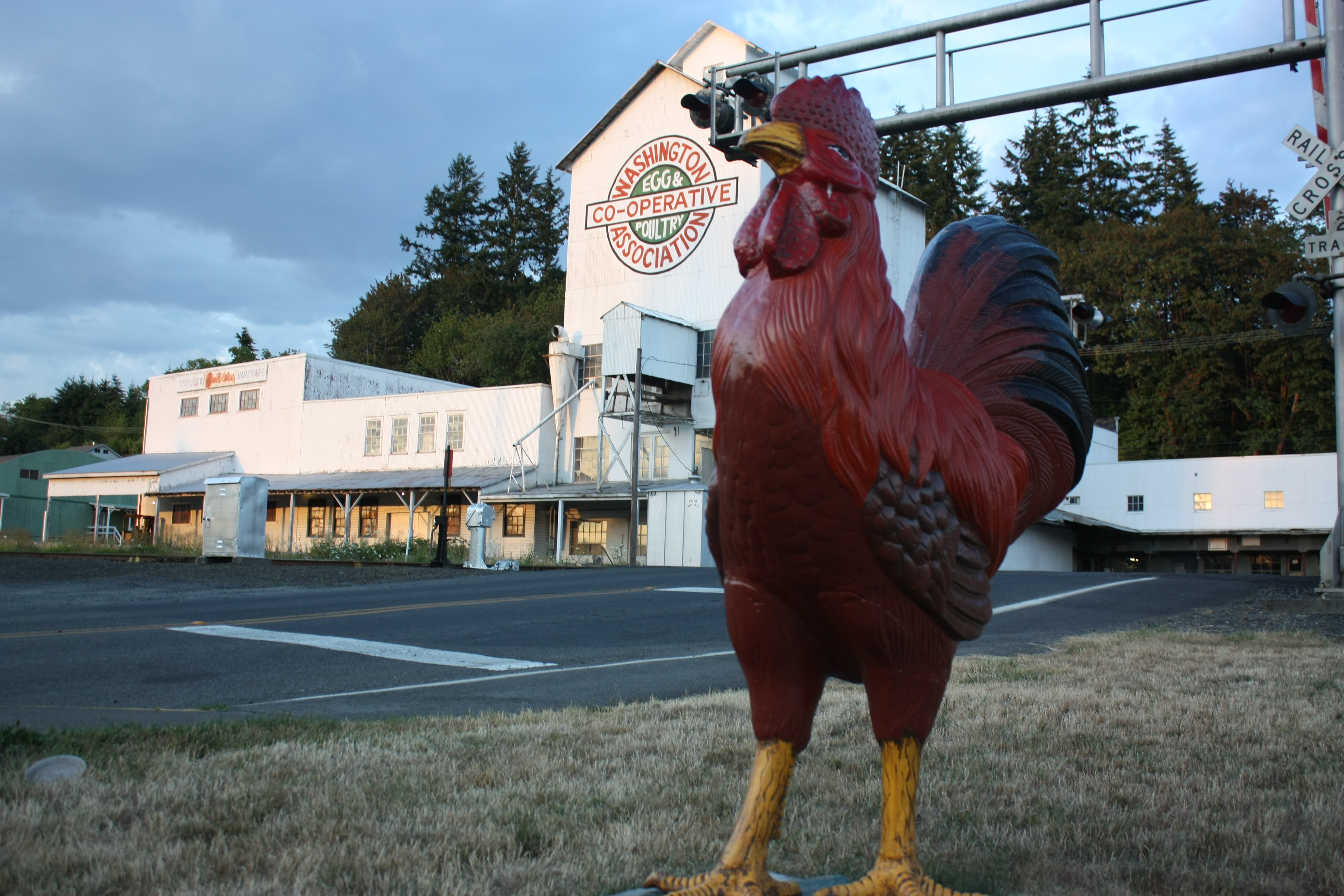
The Rooster Overlord sees all!
Coldwater Lake hike
Opened the back gate at work to see this.

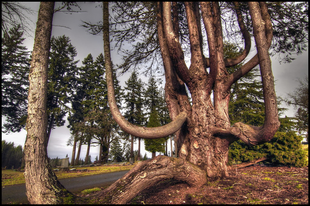
Poplar Tree Plantation
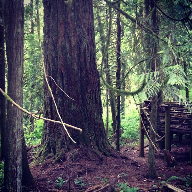
This tree is at least 10 feet in diameter! Nature is incredible.
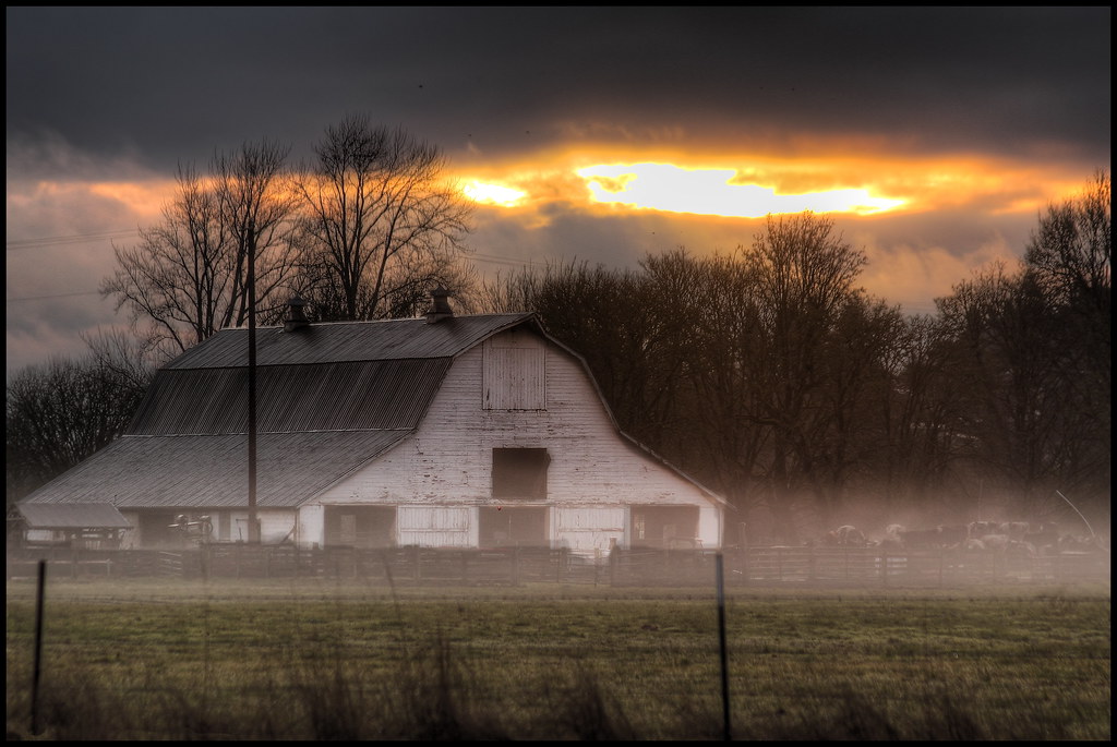
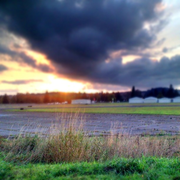
mist and barn

Lovely sunset yesterday.

a poplar place to be
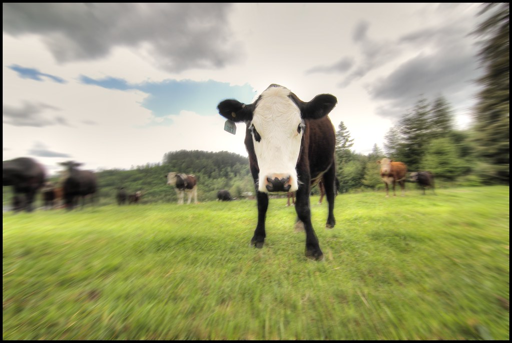
zoom cow
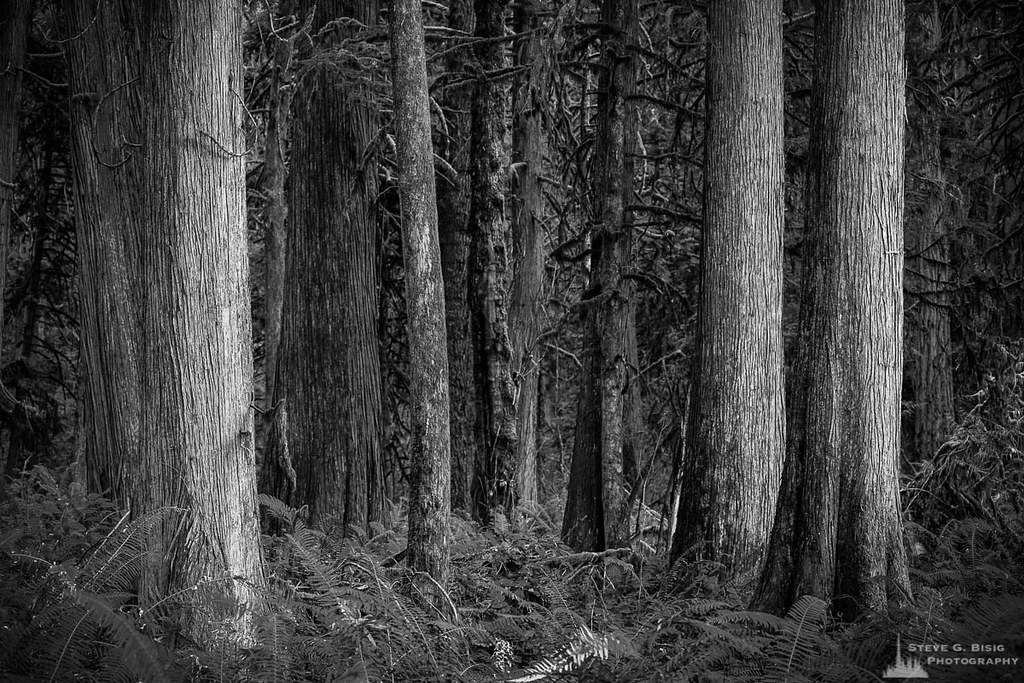
Cedar Forest, Lewis and Clark State Park, Washington, 2015
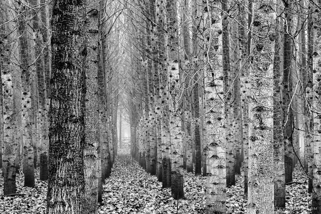
Poplar Tree Plantation, Lewis County, Washington, 2015

Poplar Tree Plantation, Lewis County, Washington, 2015
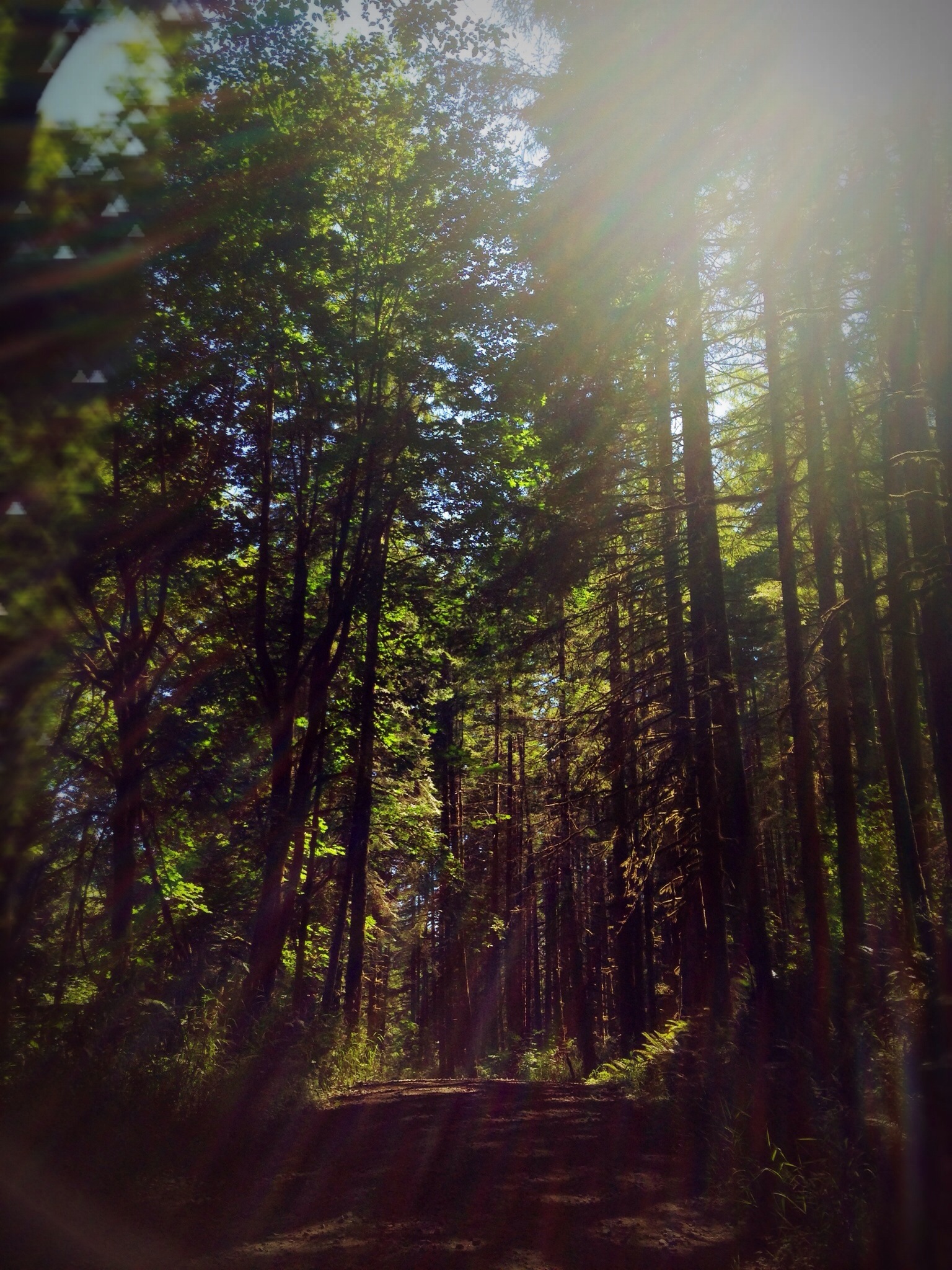
#DeepCreekRoad

Our Dog Halle

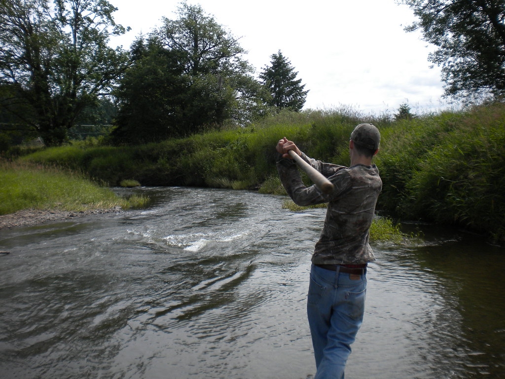
Chehalis River

Seminary Hill II
#PartlyCloudy
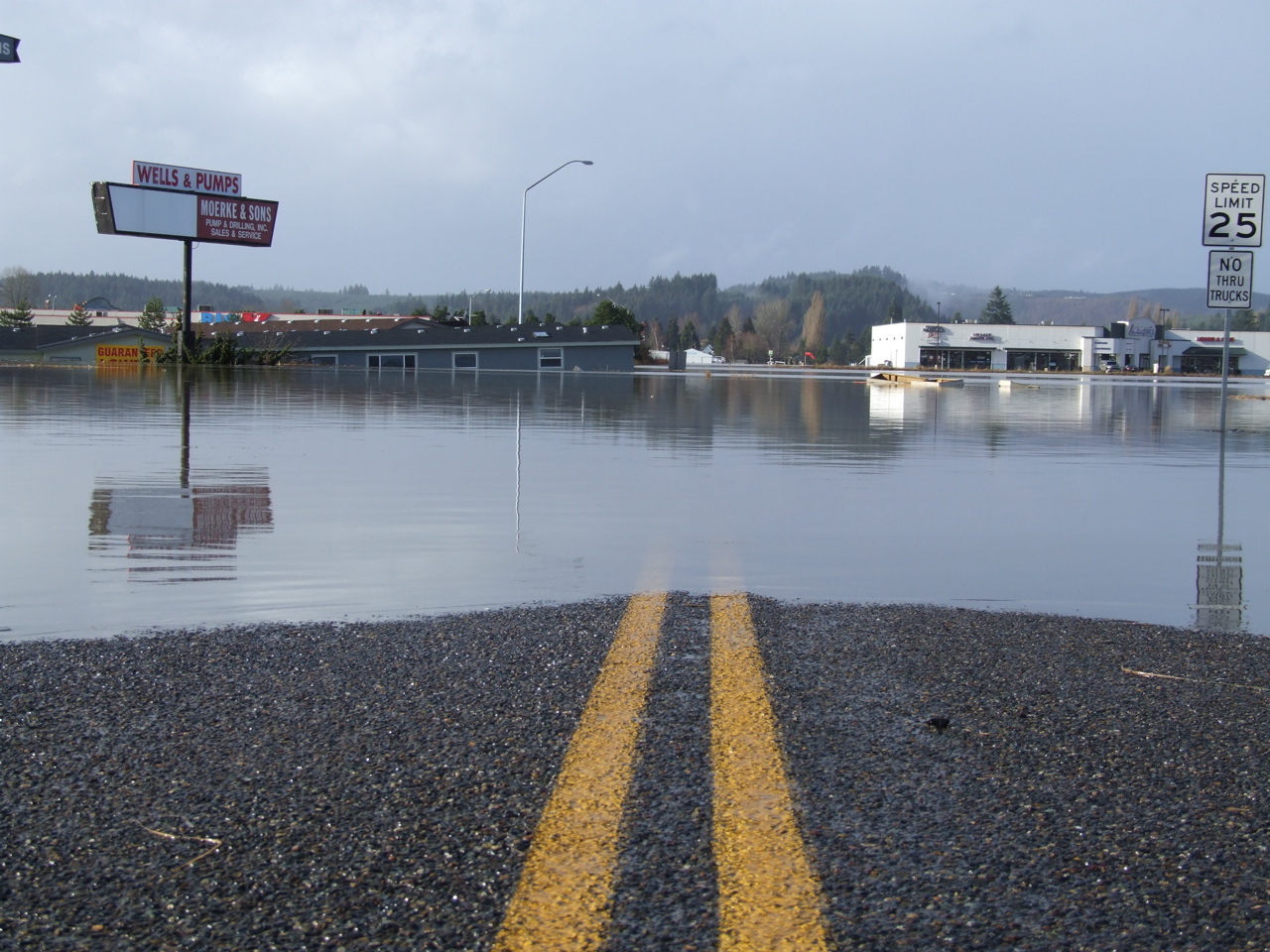
Road Closed
squid-tree
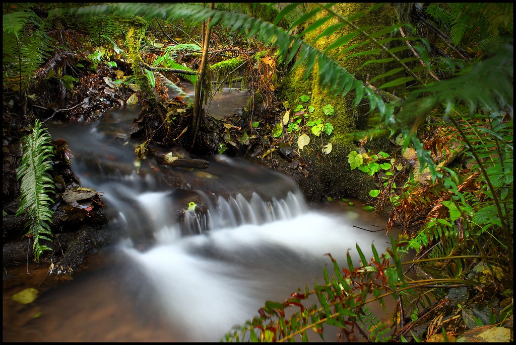
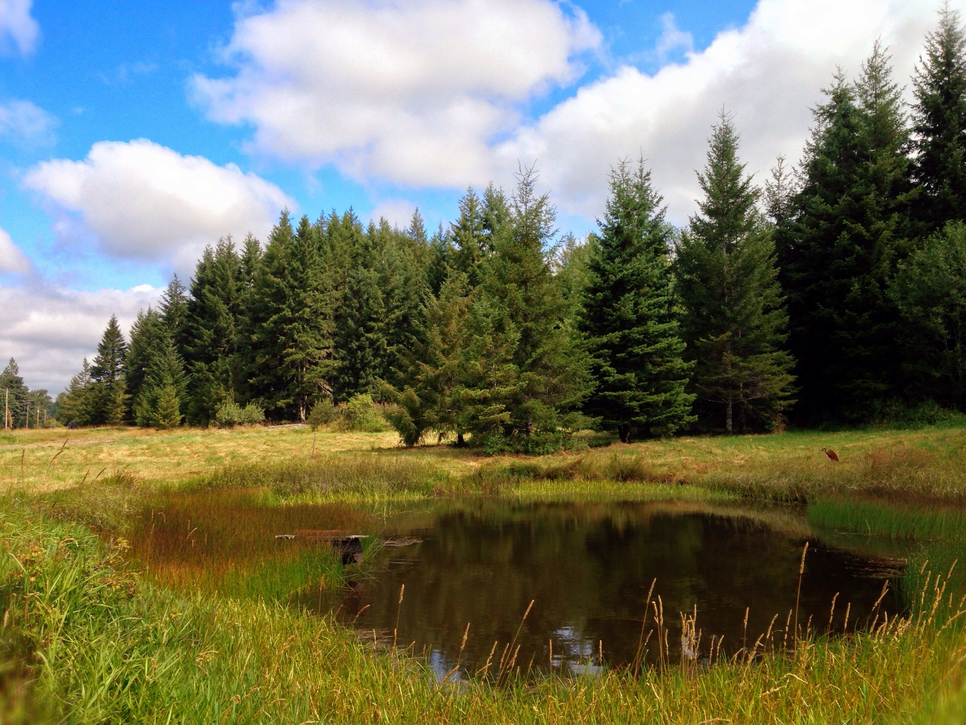
Sears Creek I
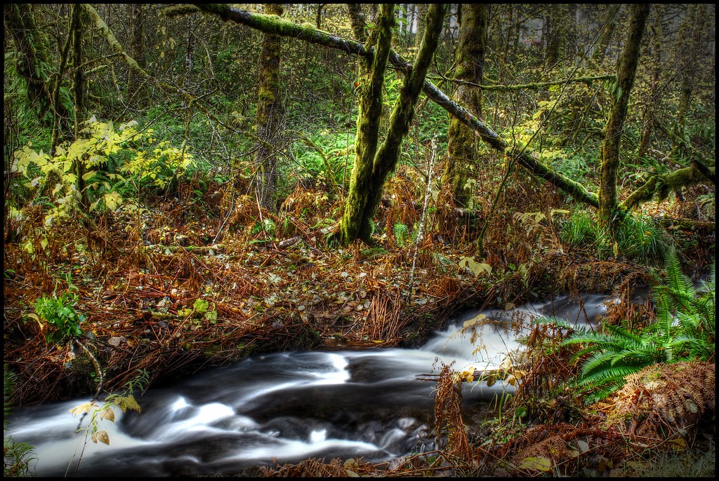
Sears Creek III

Barn and Silo, Adna, Washington, 2015
Topographic Map of Sadie Ln, Chehalis, WA, USA
Find elevation by address:

Places near Sadie Ln, Chehalis, WA, USA:
110 Sadie Ln
Newaukum Hill
156 Haight Rd
1941 Rice Rd
Rice Road
132 Jordy Ln
198 Galaxie Rd
619 Brown Rd E
Nix Road
103 Nix Rd
Safeway
1164 Pleasant Valley Rd
500 Se Washington Ave
Chehalis
225 Nw Cascade Ave
714 W Main St
112 Rainier Ct
454 Ne Adams Ave
1300 N National Ave
293 Chehalis Valley Dr
Recent Searches:
- Elevation of Rojo Ct, Atascadero, CA, USA
- Elevation of Flagstaff Drive, Flagstaff Dr, North Carolina, USA
- Elevation of Avery Ln, Lakeland, FL, USA
- Elevation of Woolwine, VA, USA
- Elevation of Lumagwas Diversified Farmers Multi-Purpose Cooperative, Lumagwas, Adtuyon, RV32+MH7, Pangantucan, Bukidnon, Philippines
- Elevation of Homestead Ridge, New Braunfels, TX, USA
- Elevation of Orchard Road, Orchard Rd, Marlborough, NY, USA
- Elevation of 12 Hutchinson Woods Dr, Fletcher, NC, USA
- Elevation of Holloway Ave, San Francisco, CA, USA
- Elevation of Norfolk, NY, USA