Elevation of SaddleBrooke Ranch Golf Club, E Robson Cir, Oracle, AZ, USA
Location: United States > Arizona > Pinal County > Oracle >
Longitude: -110.91829
Latitude: 32.5912531
Elevation: 1070m / 3510feet
Barometric Pressure: 89KPa
Elevation Map:
Satellite Map:
Related Photos:

Hiking in the Tucson Mts
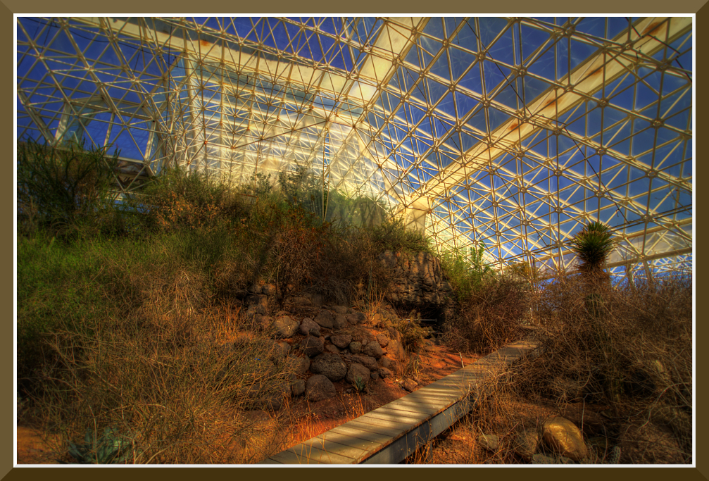
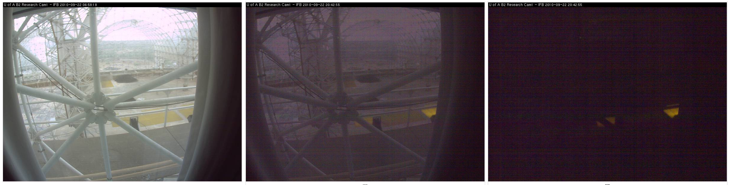
Day-11: Biosphere2_4697d

Hidden Gem
Beneath Desert Skies
View north from the ridge above Biosphere 2
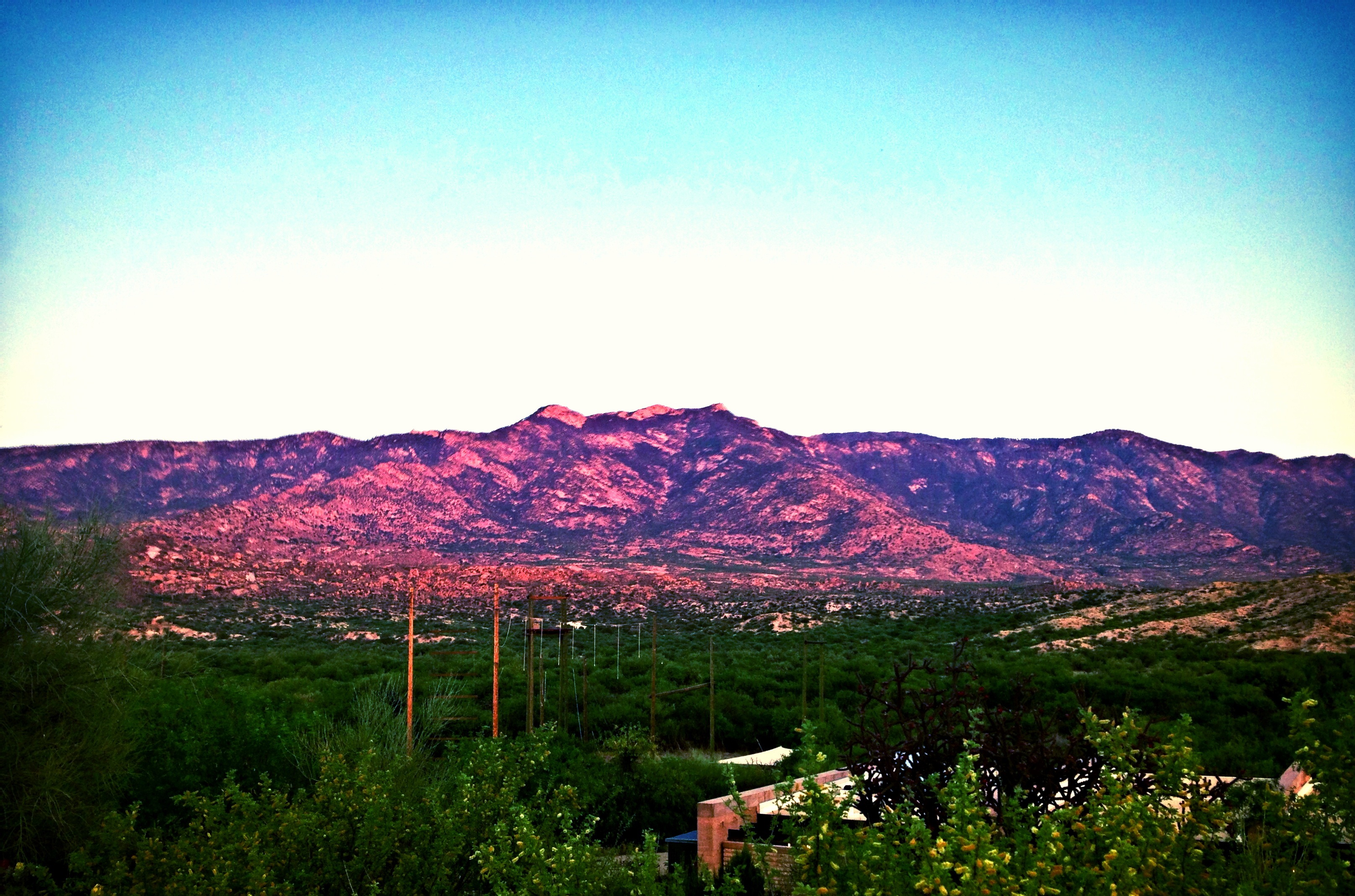
Sundown at Pusch Ridge
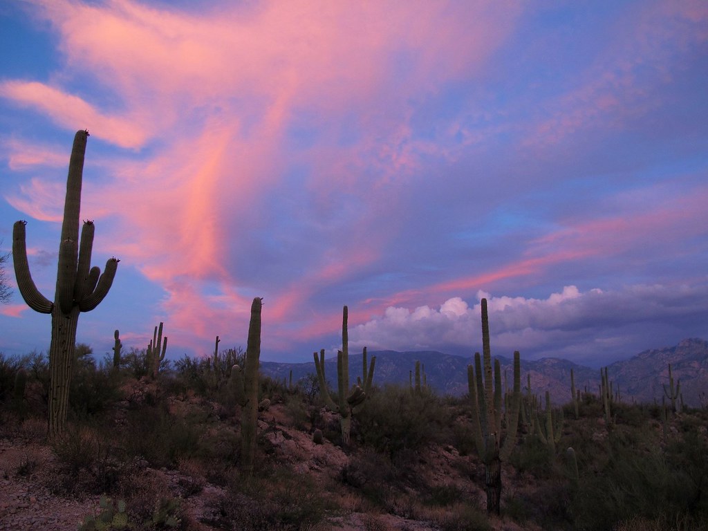
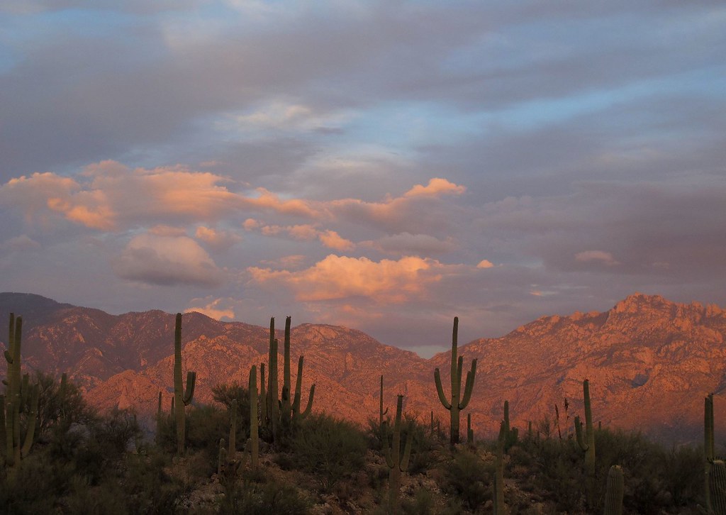
Sonoran Desert Sky Show

I Will Remain Forever
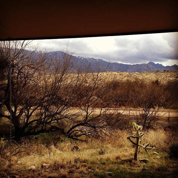
Room with a view - the AZ desert at Mirival
Oracle, AZ
Biosphere 2 Bio-luminescent too?

July 31, 2010 Sunset (no. 1)
View Of Desert From Biosphere 2
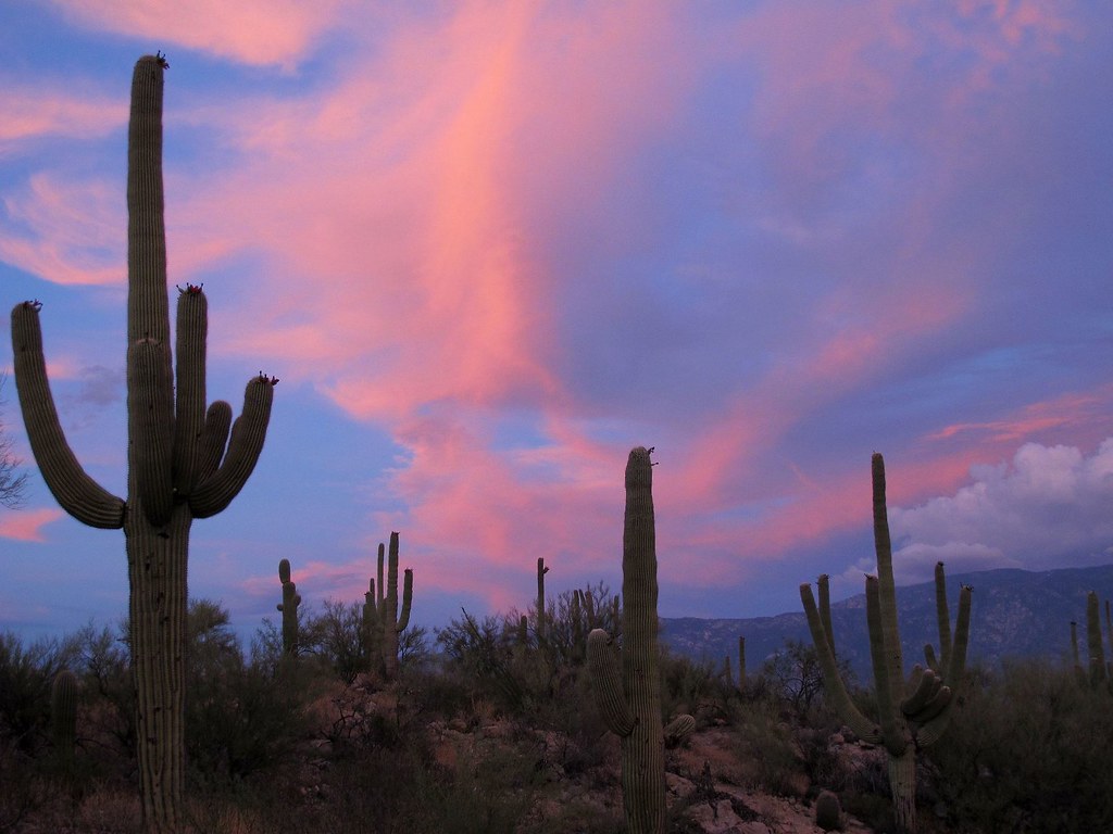
Sonoran Desert Sky Show v2.0

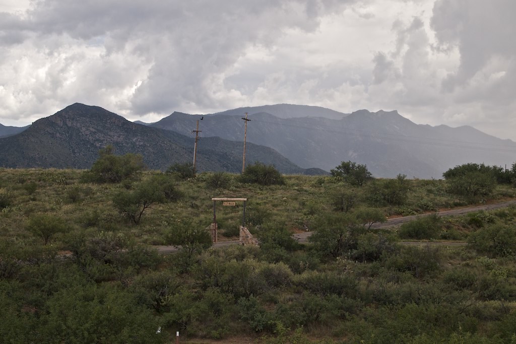
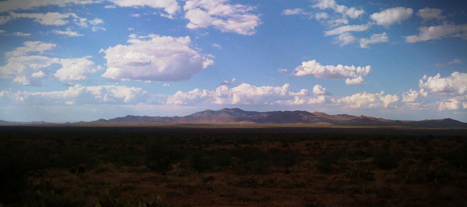
The View Towards Copper Hill and Margaret Wash

March 02, 2012

Mnt view 20111200
biosphere2_ 036

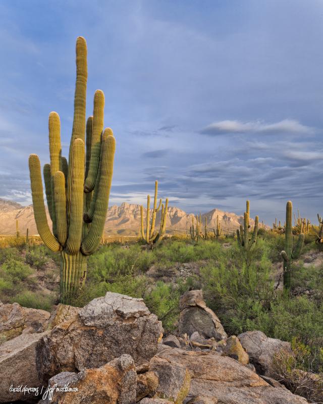
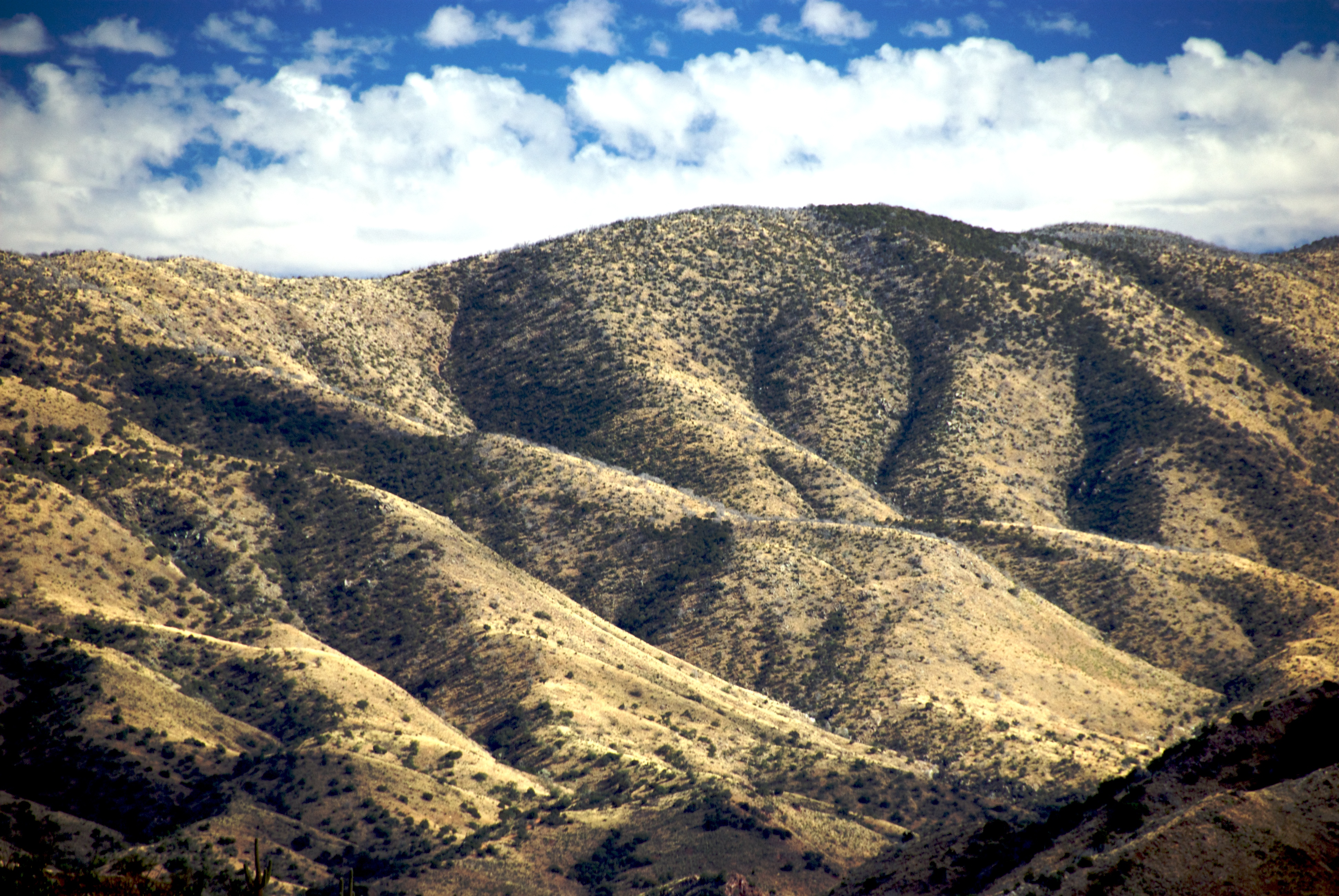
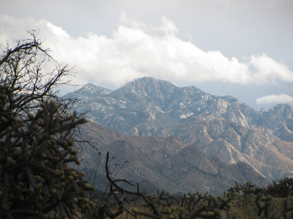
Santa Catalina Mountains near Oracle, AZ
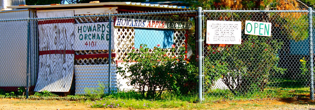
Howard's Orchard

spiral staircase to the future
Old Sunset

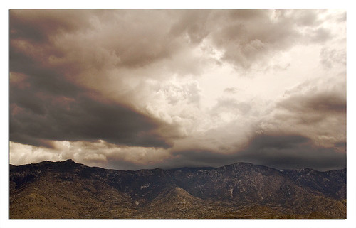
Mixed Clouds
Water over Mountain

In my folks 'backyard'

Biosphere 2
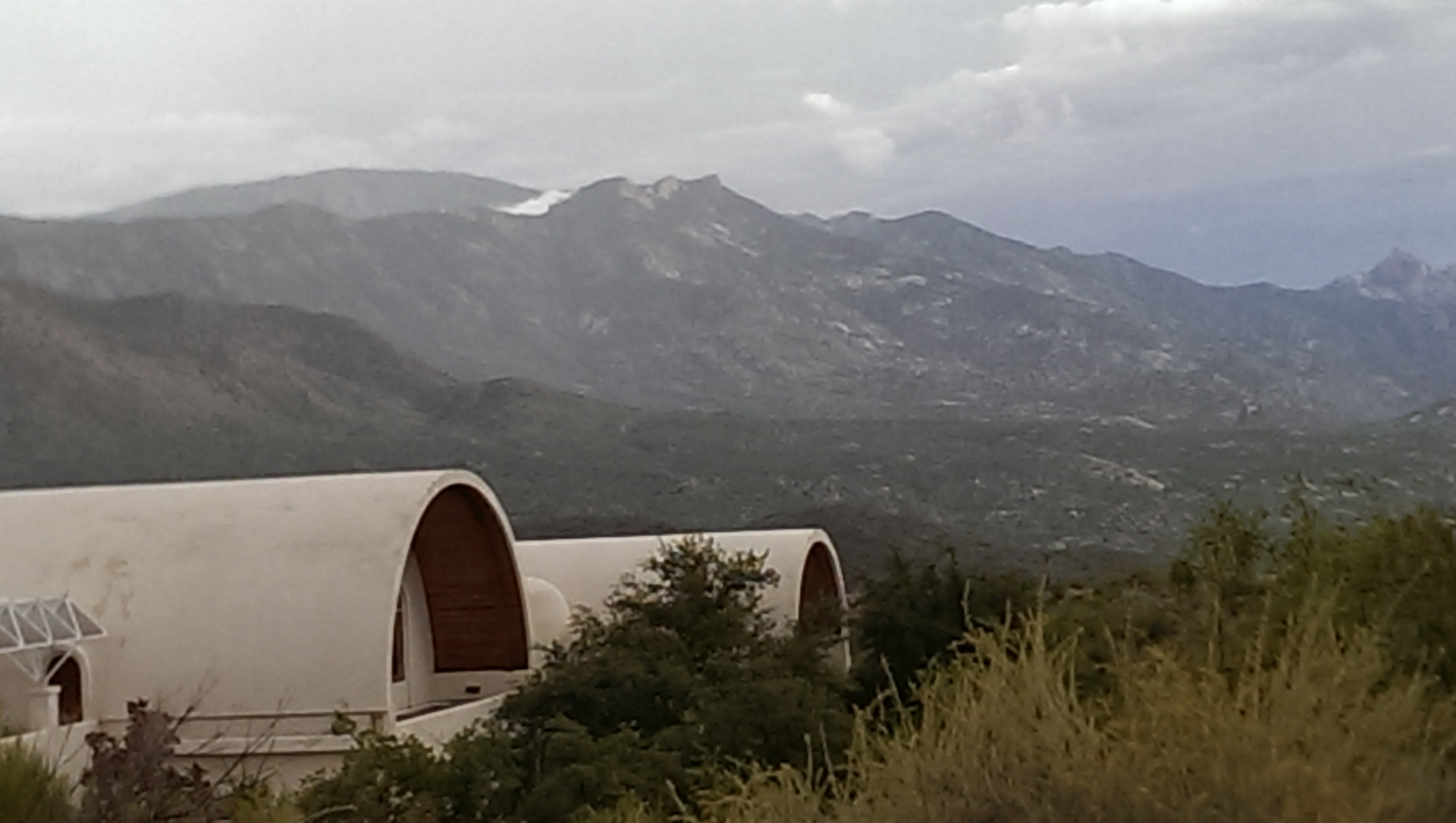
miraval.arizona

lanterns in the trees

IMG_0200.JPG

PP05 20111225
IMG_0199.JPG
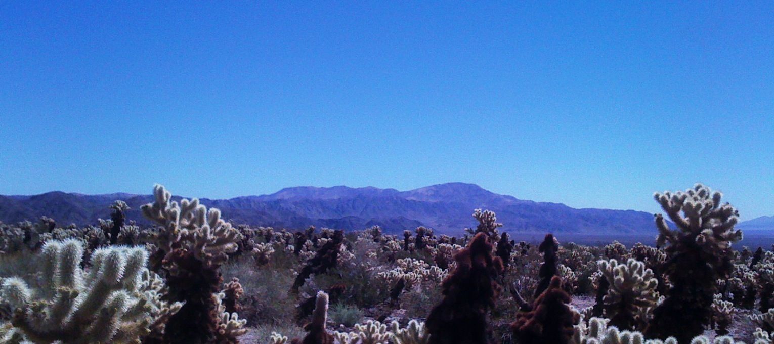
Pinto Peak and teddy bear cholla, J-tree

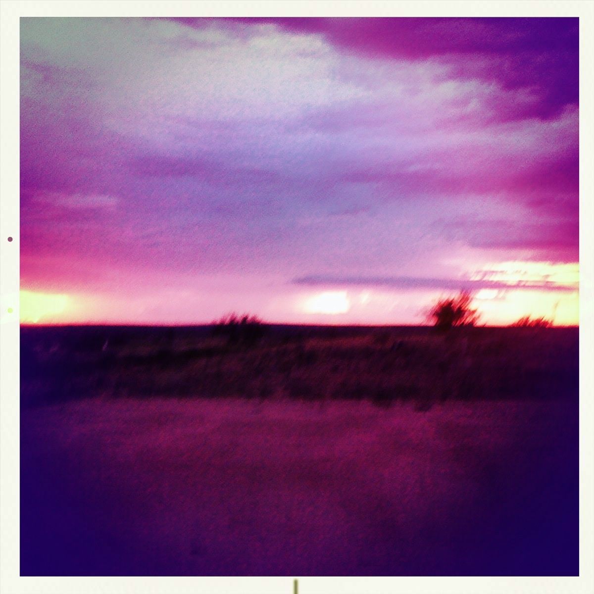
Sunset near Oracle Junction, AZ, July 27, 2014

Catalina Sunset
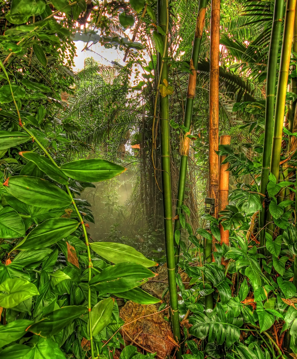
Tropical Rainforest
Catalinas from the 50 Year Trail
IMAG1310.jpg
tortolita mountains no. 2

Oracle Ridge Trail
Topographic Map of SaddleBrooke Ranch Golf Club, E Robson Cir, Oracle, AZ, USA
Find elevation by address:

Places near SaddleBrooke Ranch Golf Club, E Robson Cir, Oracle, AZ, USA:
59680 E Robson Cir
61068 E Angora Pl
31834 S Misty Basin Rd
60393 E Arroyo Grande Dr
32069 S Bighorn Dr
60380 E Ankole Dr
31300 S Nectar Ln
32427 S Addax Pl
61799 E Dead Wood Trail
32995 S Egret Trail
59719 E Ankole Dr
AZ-77, Tucson, AZ, USA
Oracle Junction
Oracle Junction
Oracle Junction
Oracle Junction
Oracle Junction
Oracle Junction
Oracle Junction
Oracle Junction
Recent Searches:
- Elevation of Spaceport America, Co Rd A, Truth or Consequences, NM, USA
- Elevation of Warwick, RI, USA
- Elevation of Fern Rd, Whitmore, CA, USA
- Elevation of 62 Abbey St, Marshfield, MA, USA
- Elevation of Fernwood, Bradenton, FL, USA
- Elevation of Felindre, Swansea SA5 7LU, UK
- Elevation of Leyte Industrial Development Estate, Isabel, Leyte, Philippines
- Elevation of W Granada St, Tampa, FL, USA
- Elevation of Pykes Down, Ivybridge PL21 0BY, UK
- Elevation of Jalan Senandin, Lutong, Miri, Sarawak, Malaysia