Elevation of Saddle Mountain, Colorado, USA
Location: United States > Colorado > Park County > Guffey >
Longitude: -105.46693
Latitude: 38.8319367
Elevation: 3291m / 10797feet
Barometric Pressure: 68KPa
Elevation Map:
Satellite Map:
Related Photos:

The Rockies
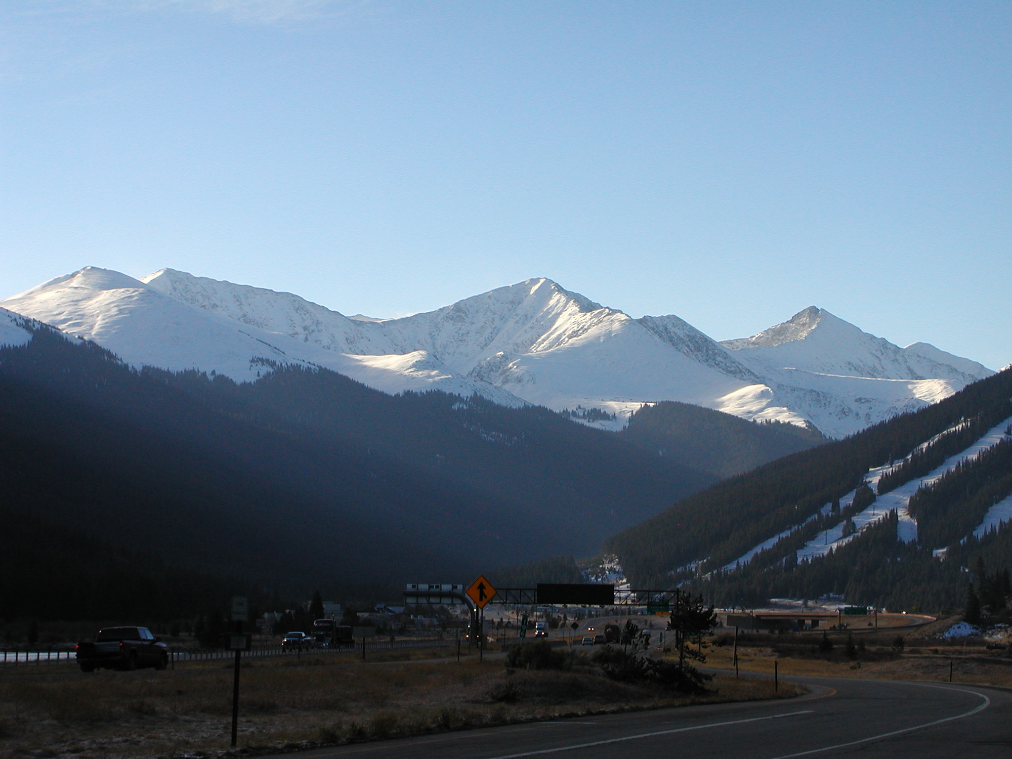
What a breath-taking view The Rocky Mountains
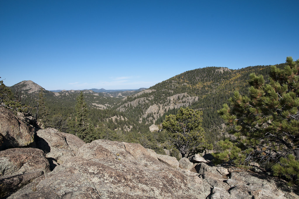
View of Eleven Mile Canyon from Eleven Mile Reservoir Overlook looking North
Topographic Map of Saddle Mountain, Colorado, USA
Find elevation by address:

Places near Saddle Mountain, Colorado, USA:
300 Lakeview Trail
Gold Belt Byway
943 Bristlecone Rd
277 Elk View Rd
8498 Co Rd 102
99 Peak Dr
392 Meadow Ln
228 Cottonwood Way
36 Valley Cir
296 Slater Creek Rd
Langnis Road
404 Slater Creek Rd
404 Slater Creek Rd
404 Slater Creek Rd
404 Slater Creek Rd
Slater Creek Drive
930 Doe Valley Rd
25 Arrowhead Dr
1421 Timber Mesa
Timber Mesa
Recent Searches:
- Elevation of Corso Fratelli Cairoli, 35, Macerata MC, Italy
- Elevation of Tallevast Rd, Sarasota, FL, USA
- Elevation of 4th St E, Sonoma, CA, USA
- Elevation of Black Hollow Rd, Pennsdale, PA, USA
- Elevation of Oakland Ave, Williamsport, PA, USA
- Elevation of Pedrógão Grande, Portugal
- Elevation of Klee Dr, Martinsburg, WV, USA
- Elevation of Via Roma, Pieranica CR, Italy
- Elevation of Tavkvetili Mountain, Georgia
- Elevation of Hartfords Bluff Cir, Mt Pleasant, SC, USA