Elevation of Sacramento, CA, USA
Location: United States > California > Sacramento County >
Longitude: -121.49439
Latitude: 38.5815719
Elevation: 8m / 26feet
Barometric Pressure: 101KPa
Elevation Map:
Satellite Map:
Related Photos:
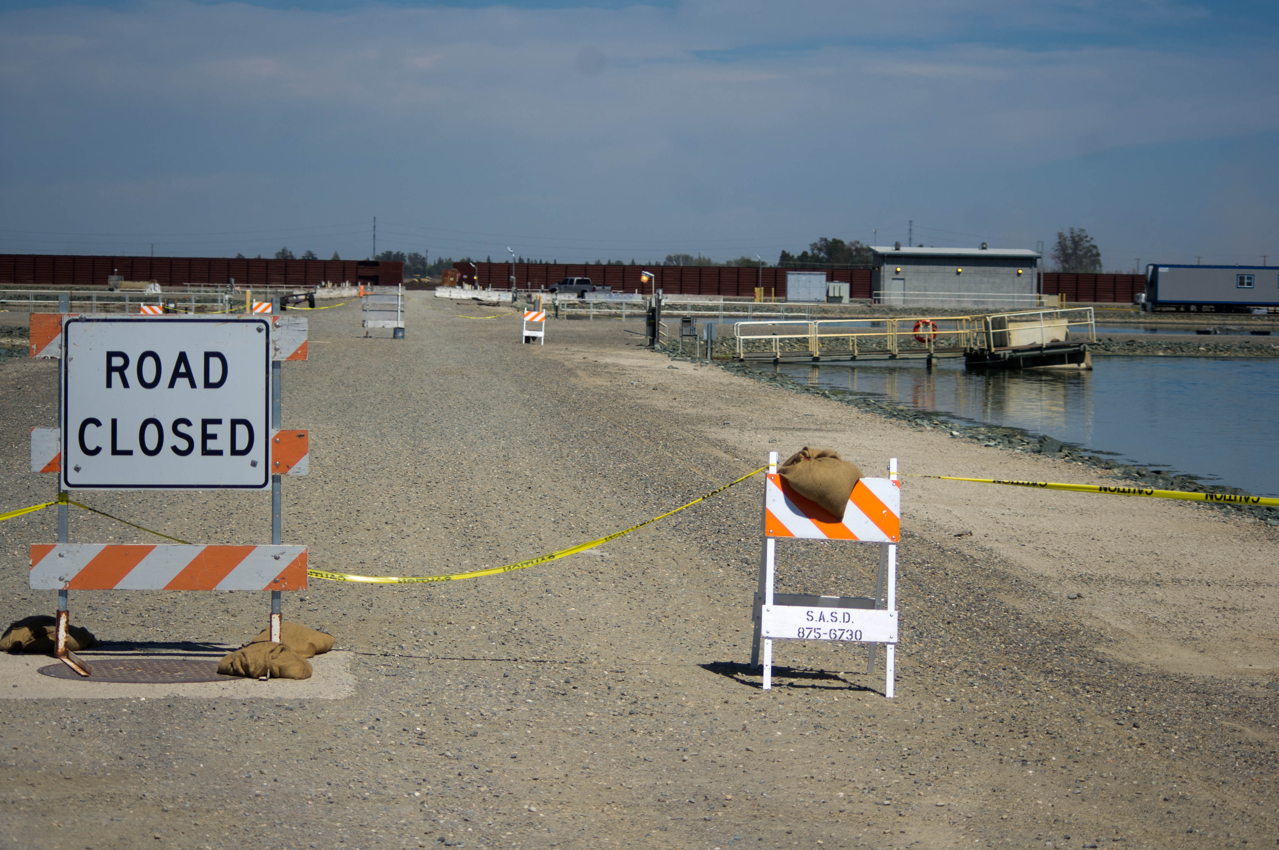
Least Tern nesting habitat
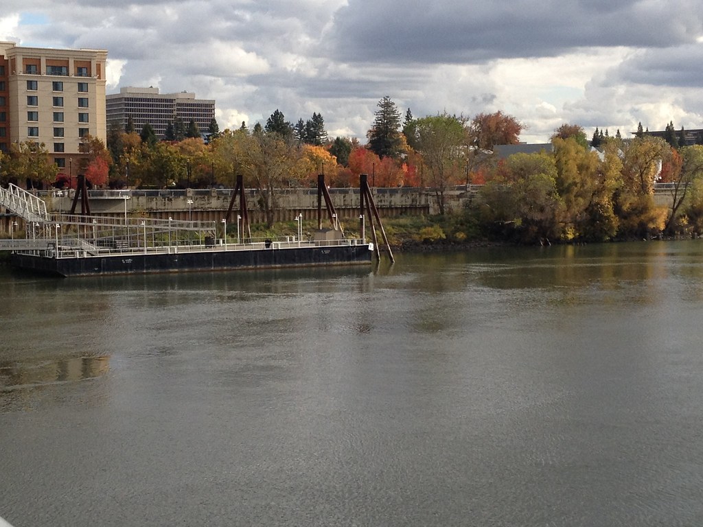
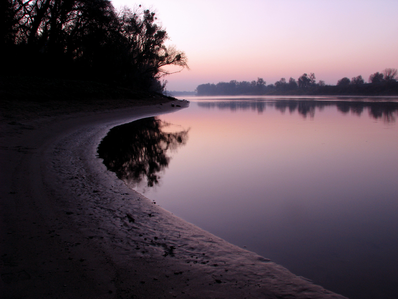
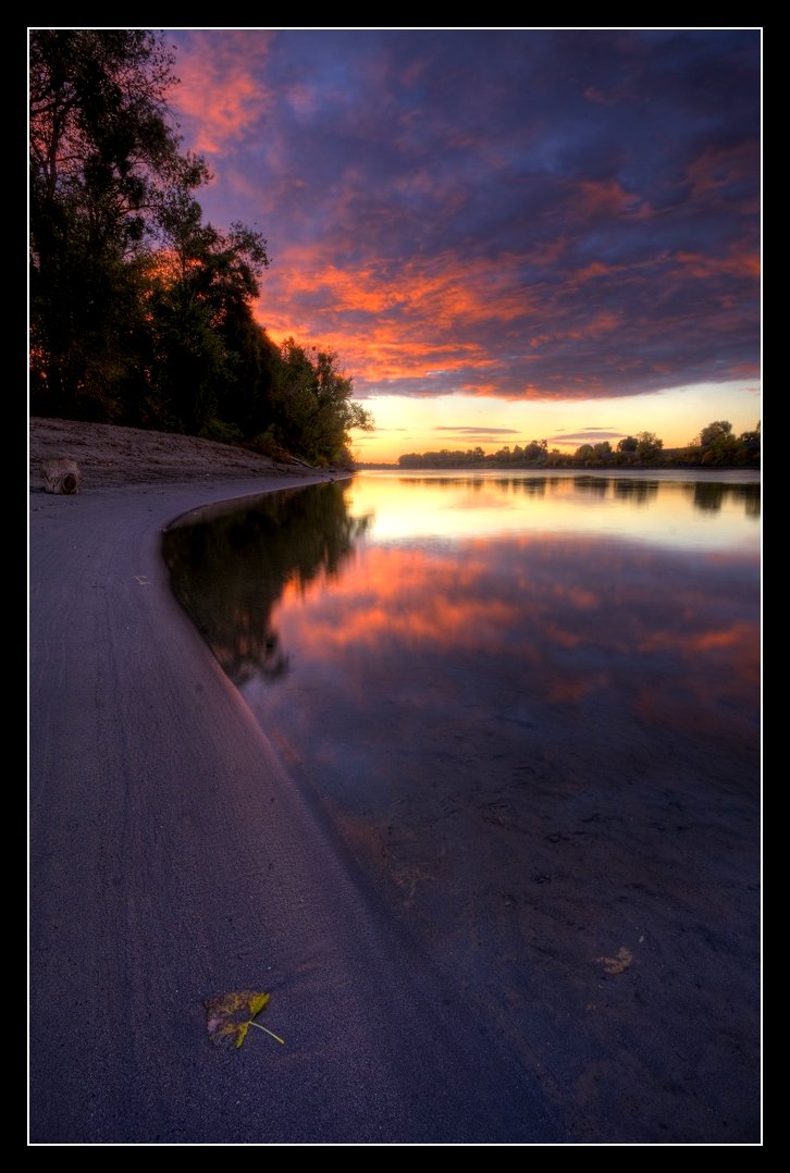
River Front View
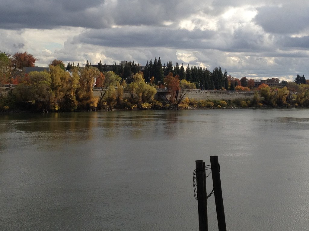
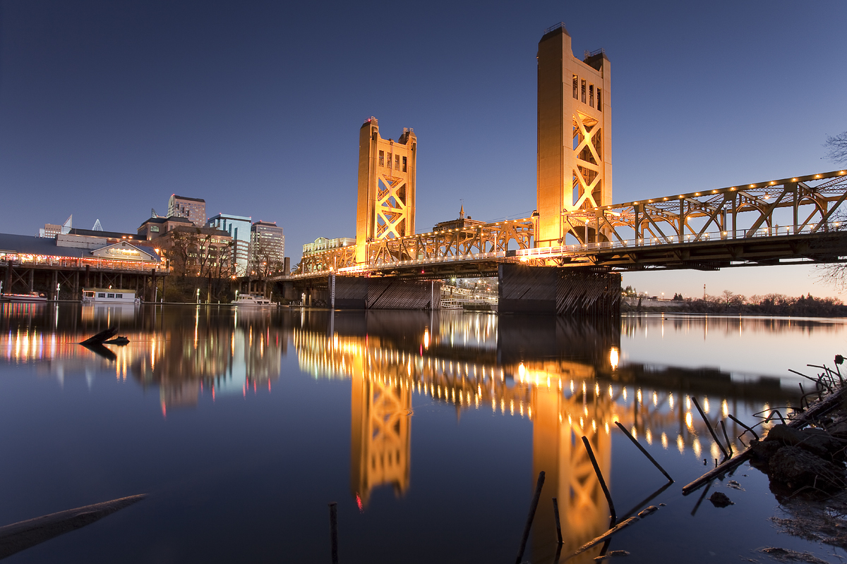
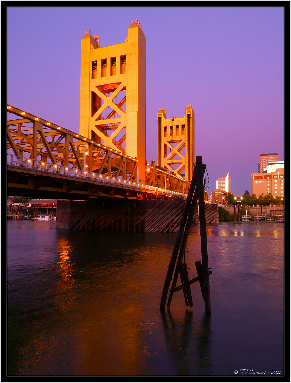
A view from The Tower Bridge
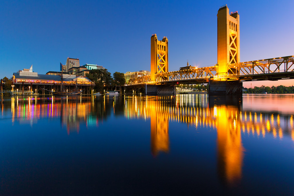
Tower Bridge
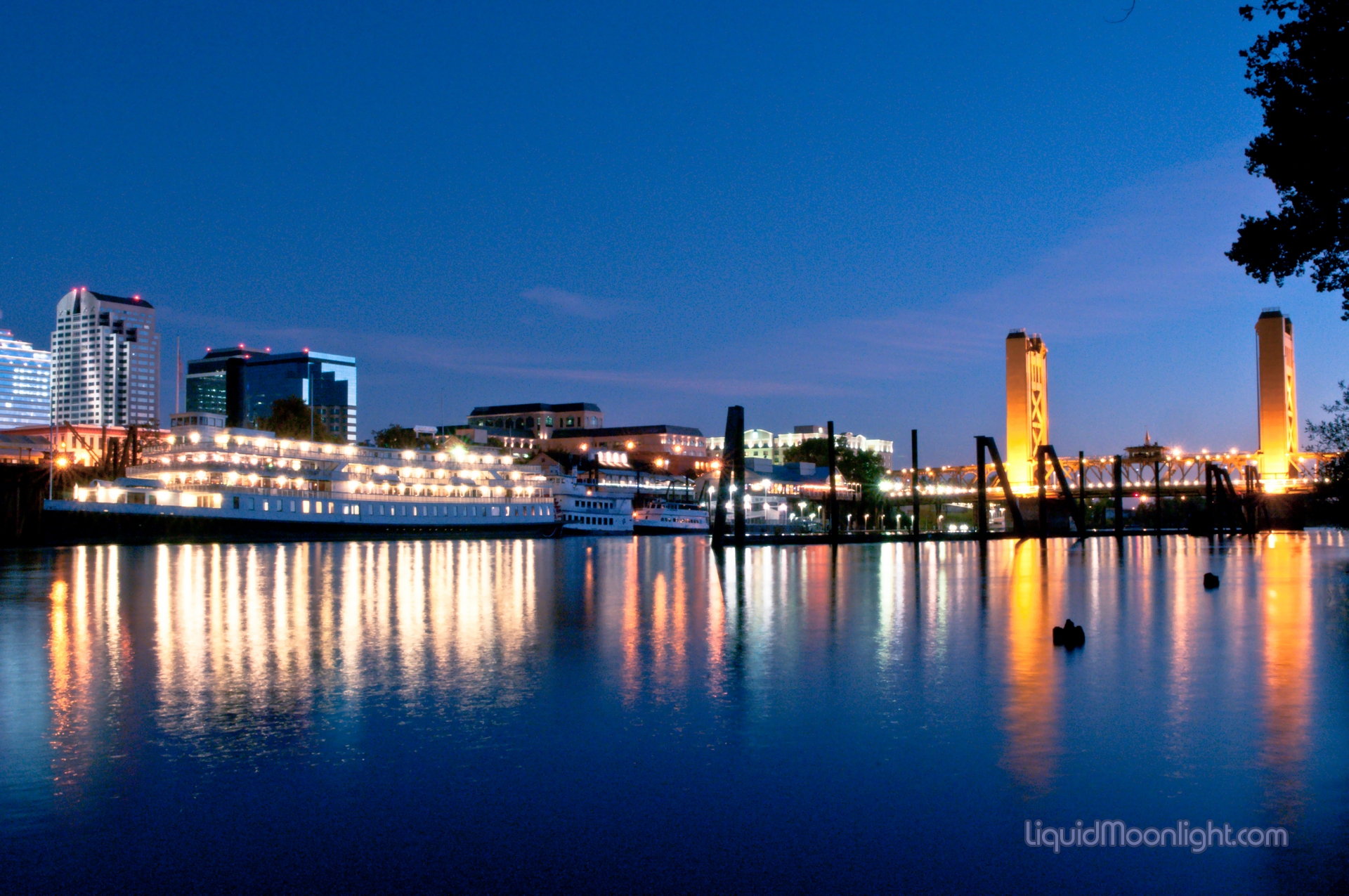
Sacramento Skyline & Delta River King - Sacramento California
Purple Haze

Sutter's Fort Poppy
Sacramento Skyline HDR 01
Tower Bridge

Back to the First
It's All In The Light
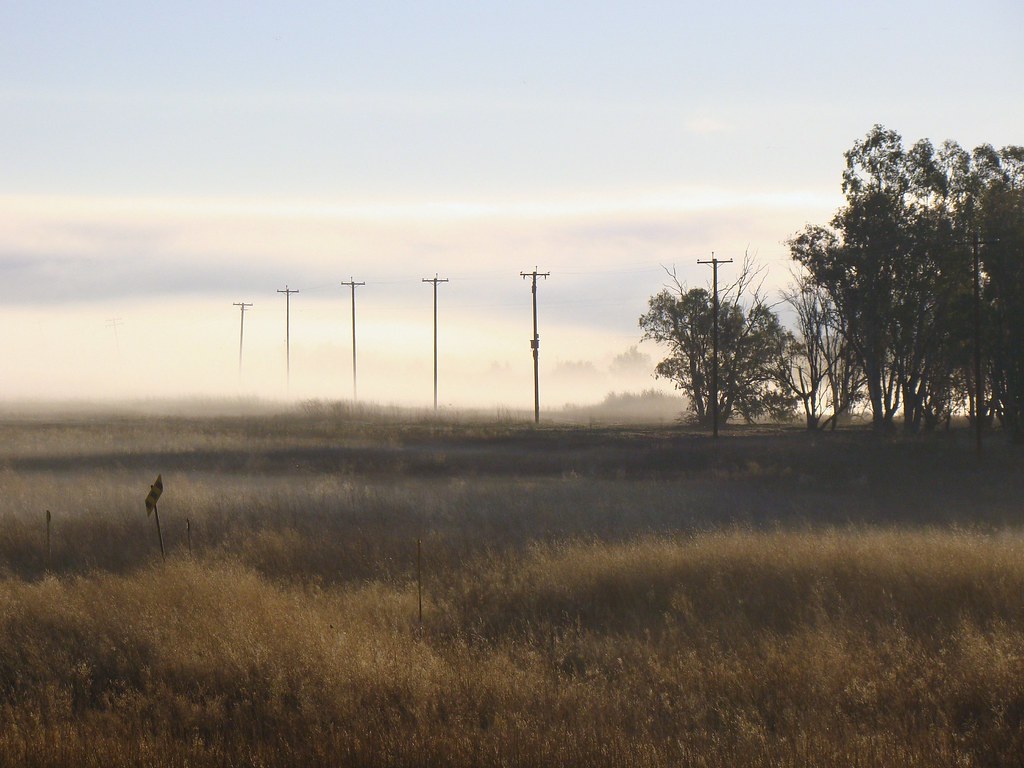
Foggy Morning on the Yolo Causeway
Another west-facing view
Tower Bridge and Pinkish Sky

Running lines

Jaguar in Tree - Landscape View

Western Meadowlark 0331
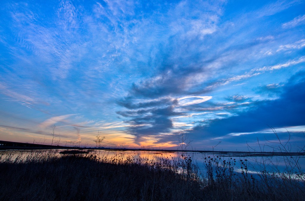
Valley sky
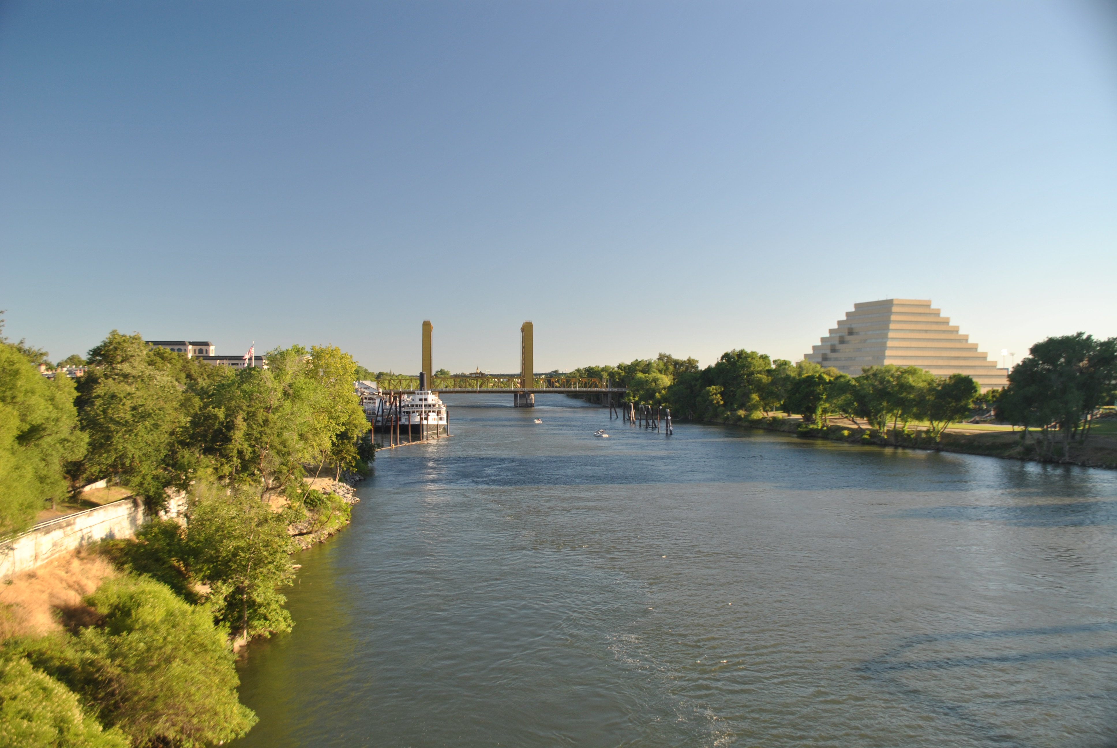
Sacramento River
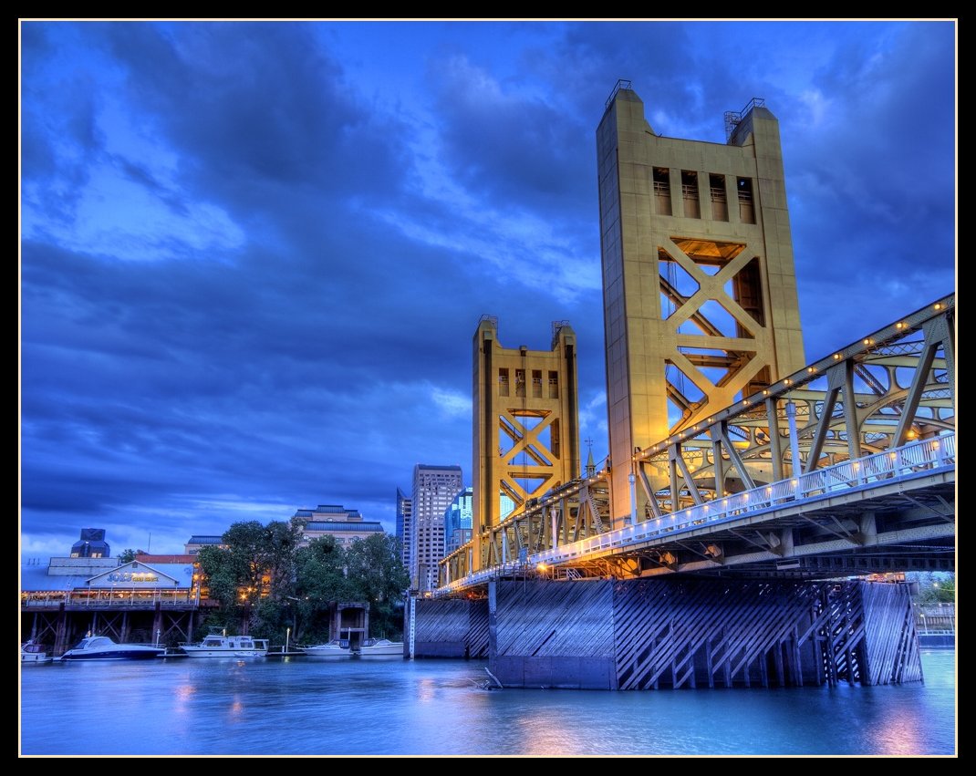
Tower Bridge (HDR)

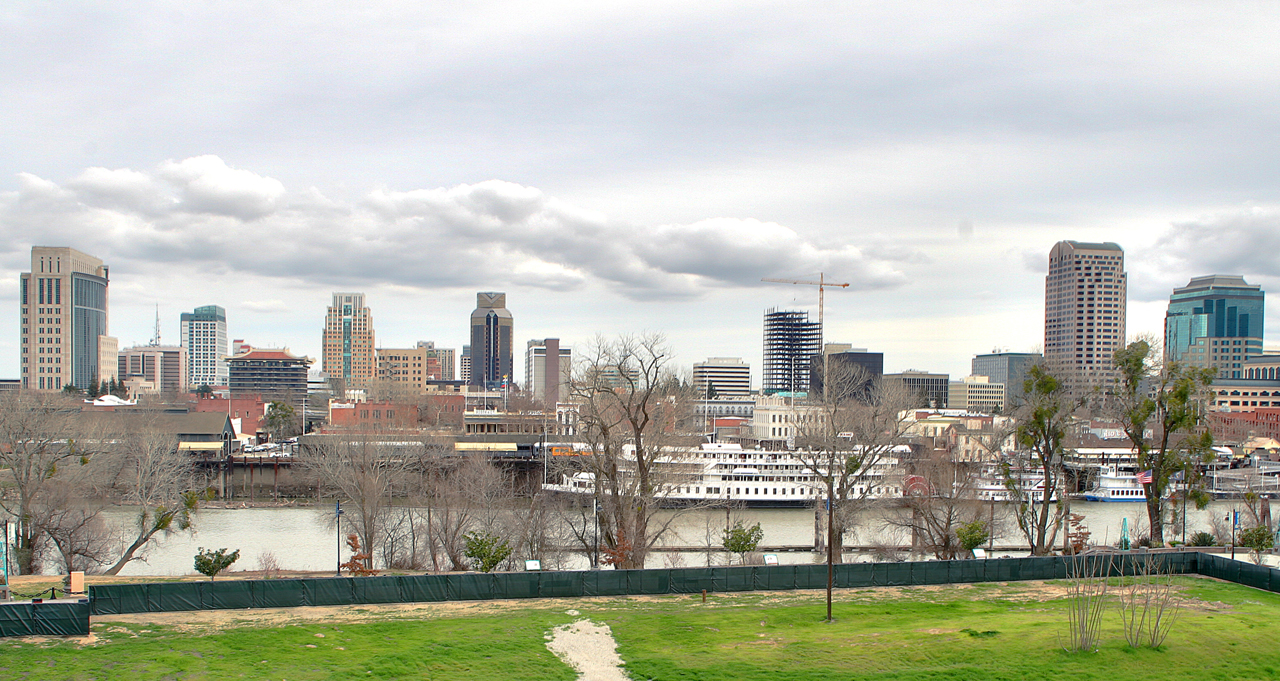
City? What city?
Topographic Map of Sacramento, CA, USA
Find elevation by address:

Places in Sacramento, CA, USA:
Central Sacramento
Southeastern Sacramento
Southwestern Sacramento
North Sacramento
East Sacramento
Sierra Oaks
Arden Park Vista
Pocket
Valley Hi / North Laguna
Central Business District
Sundance Lake
Parkway
Creekside
Larchmont Chardonnay
Pell/main Industrial Park
Arden Manor
Fruitridge Manor
Woodlake
Natomas Park
Little Pocket
Upper Land Park
Madison Manor
Sunrise Countryside
Oak Creek Estates
College Greens East
Timberlake Condominiums
Village 7
Ben Ali
Silver Legends
Gardenland
Robla
Erickson Industrial Park
Gateway West
Whitney Estates
Willow Creek
Larchmont Riviera
Boulevard Park
Hillsdale
Parkland Estates
Wilhaggin
Wood Leaf Village
Suncountry
Westlake
Rosemont Square
Northwood Vista
Frontier Mission
Silver Meadows
Boulder Glen
Evergreen Estates
Sierra Oaks Vista
Coppertree
Lindale
Glen Ivy
Larchmont Riviera East
River College Square
Meadowview
Village 14
South Woods
Linda Rio Dr, Sacramento, CA, USA
Fair Oaks Blvd, Sacramento, CA, USA
Pinell St, Sacramento, CA, USA
Jackson Rd, Sacramento, CA, USA
Arabella Way, Sacramento, CA, USA
Florin Road
Florin Rd, Sacramento, CA, USA
Rosewood Dr, Sacramento, CA, USA
Roseville Rd, Sacramento, CA, USA
Lassen Way
El Centro Road
Bradshaw Road
Sacramento, CA, USA
Old Sacramento
Cal Expo
Tahoe Park
Sacramento, CA, USA
Sacramento, CA, USA
Downtown
Sacramento, CA, USA
Midtown
Kimblewick Way
College Town Drive & State University Drive
College Town Drive & State University Drive
Sacramento, CA, USA
Contempo Drive
Sandburg Drive
Florin Road
U.s. 50 & California 99
Golf Course Terrace
Lincoln Village
Rosswood
Glenbrook East
Rosemont Downs
Southern Pacific / Richards
Sunrise Churchill
Santa Anita
Campus Commons
Alkali Flat
Freeport Manor
Central Oak Park
Fruitridge Park
Places near Sacramento, CA, USA:
801 J St
916 8th St
1000 J St
California Forward Action Fund
1001 I St
1000 K St
915 L St
720 7th St
1100 J St
Downtown
Central Business District
915 Capitol Mall
Ella Dining Room & Bar
California State Capitol
California State Capitol Museum
Golden 1 Center
1209 L St
1416 9th St
Csu Sacramento, Ca
Capitol Mall
Recent Searches:
- Elevation of Corso Fratelli Cairoli, 35, Macerata MC, Italy
- Elevation of Tallevast Rd, Sarasota, FL, USA
- Elevation of 4th St E, Sonoma, CA, USA
- Elevation of Black Hollow Rd, Pennsdale, PA, USA
- Elevation of Oakland Ave, Williamsport, PA, USA
- Elevation of Pedrógão Grande, Portugal
- Elevation of Klee Dr, Martinsburg, WV, USA
- Elevation of Via Roma, Pieranica CR, Italy
- Elevation of Tavkvetili Mountain, Georgia
- Elevation of Hartfords Bluff Cir, Mt Pleasant, SC, USA