Elevation of Sable River, NS, Canada
Location: Canada > Nova Scotia > Shelburne County > Shelburne >
Longitude: -65.063667
Latitude: 43.8393374
Elevation: 6m / 20feet
Barometric Pressure: 101KPa
Elevation Map:
Satellite Map:
Related Photos:
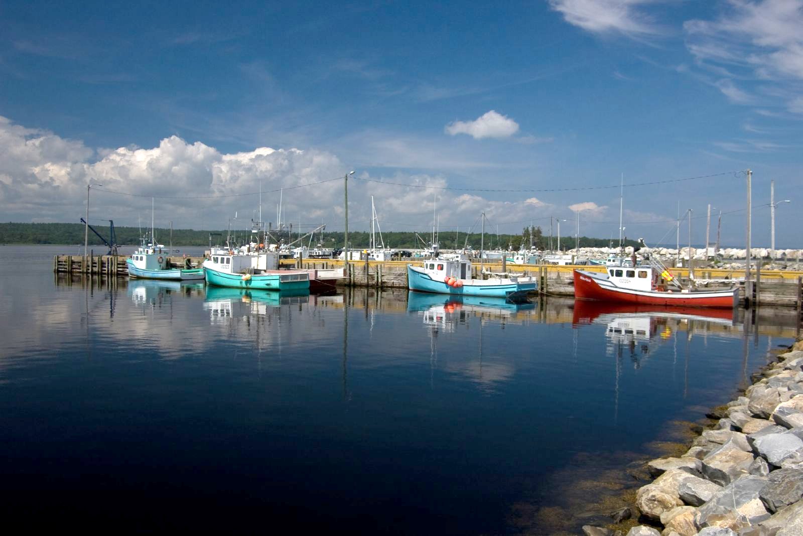
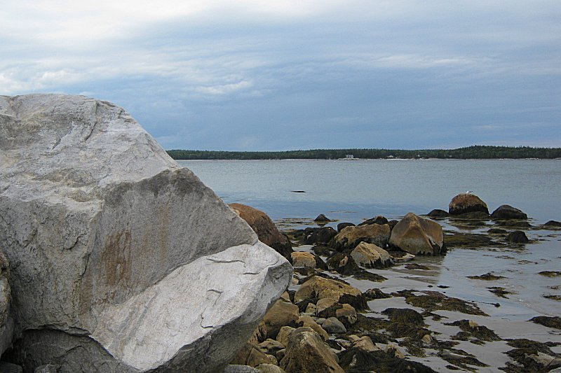
Port Joli, Nova Scotia (G82)
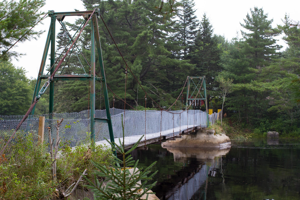
Full View Of Swinging Bridge
Lake George Property
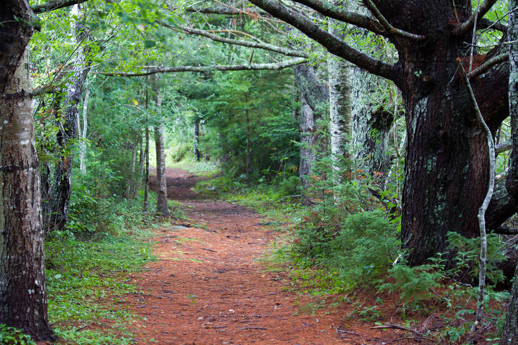
Peaceful Trail heading Back To Car
Thomas Radddall Provincial Park
Short Trail From Highway 3 to Bridge
Thomas Radddall Provincial Park

Brücke

Looking Down The Sable River

Thomas Radddall Provincial Park

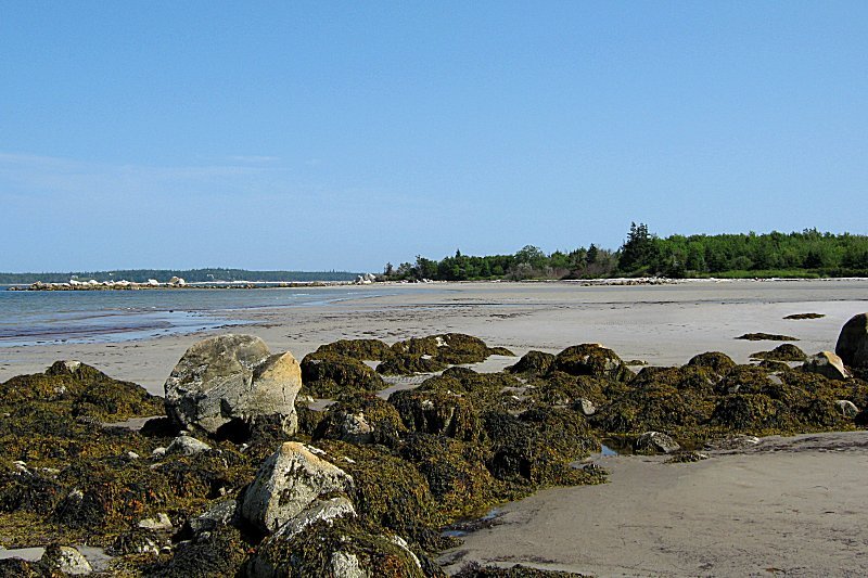
Kayaks on Beach

We don't feel welcome

Thomas Radddall Provincial Park

_DSC1441.jpg

Lockeport Harbour

Thomas Radddall Provincial Park
Topographic Map of Sable River, NS, Canada
Find elevation by address:

Places in Sable River, NS, Canada:
10 River Rd, Sable River, NS B0T 1V0, Canada
W Sable Rd, Sable River, NS B0T 1V0, Canada
Hook Point Road
Edwards Lane
East Sable Road
Places near Sable River, NS, Canada:
112 E Sable Rd
Edwards Lane
W Sable Rd, Sable River, NS B0T 1V0, Canada
East Sable Road
Shelburne
1824 W Sable Rd
Nova Scotia Trunk 3, Port Joli, NS B0T 1S0, Canada
Hook Point Road
Osborne Rd, Lockeport, NS B0T 1L0, Canada
284 Millers Bridge Rd
10 River Rd, Sable River, NS B0T 1V0, Canada
1876 Mcleans Lake Rd
East Side Port L'hebert
1494 E Side Port L'hébert Rd
Lockeport
189 Brighton Rd
177 Brighton Rd
West Head Road
West Head Road
Port Joli
Recent Searches:
- Elevation of Corso Fratelli Cairoli, 35, Macerata MC, Italy
- Elevation of Tallevast Rd, Sarasota, FL, USA
- Elevation of 4th St E, Sonoma, CA, USA
- Elevation of Black Hollow Rd, Pennsdale, PA, USA
- Elevation of Oakland Ave, Williamsport, PA, USA
- Elevation of Pedrógão Grande, Portugal
- Elevation of Klee Dr, Martinsburg, WV, USA
- Elevation of Via Roma, Pieranica CR, Italy
- Elevation of Tavkvetili Mountain, Georgia
- Elevation of Hartfords Bluff Cir, Mt Pleasant, SC, USA