Elevation of Sağlık Mahallesi, Eskil Cihanbeyli Yolu, Cihanbeyli/Konya, Turkey
Location: Turkey > Konya > Cihanbeyli > Sağlık >
Longitude: 33.0991365
Latitude: 38.7104899
Elevation: 914m / 2999feet
Barometric Pressure: 91KPa
Elevation Map:
Satellite Map:
Related Photos:
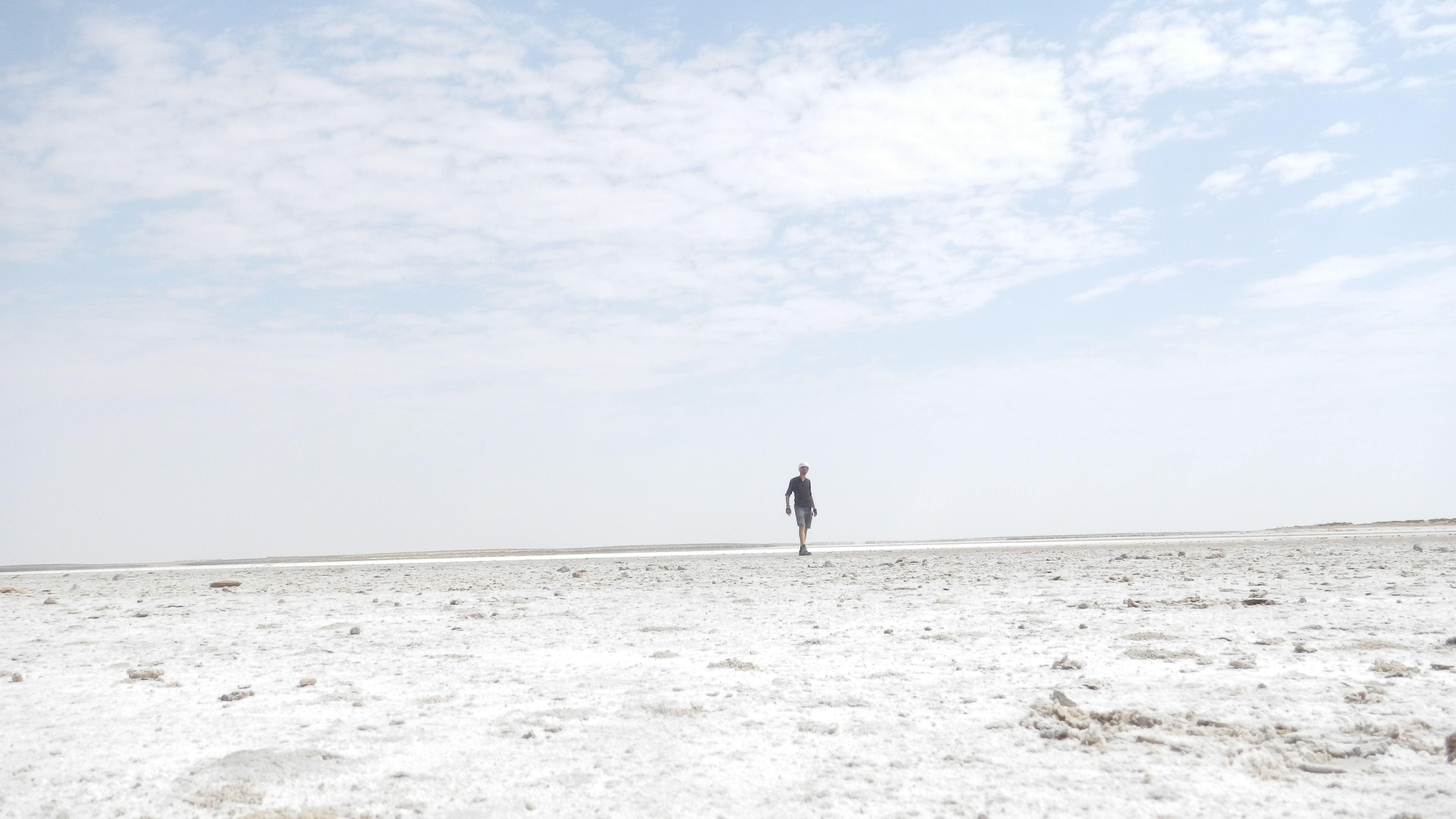
Tuz Gölü
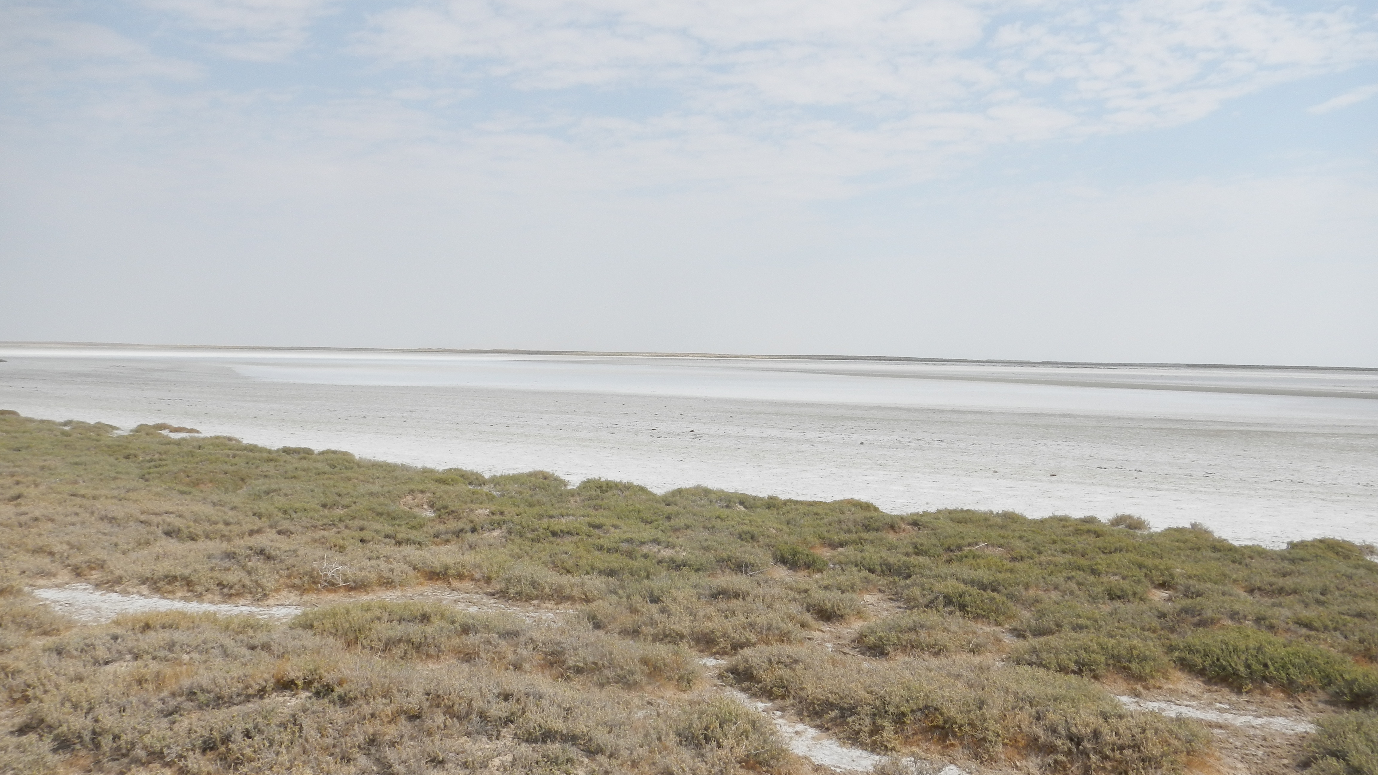
Tuz Gölü

Tuz Gölü
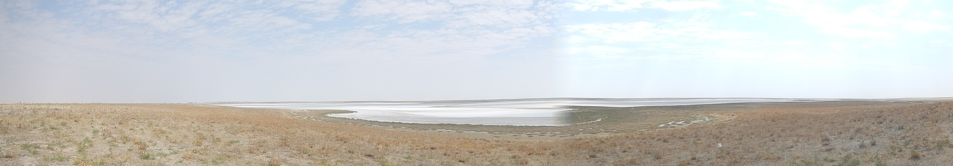
Tüz Gölü

LGTAIE dans le sel
Topographic Map of Sağlık Mahallesi, Eskil Cihanbeyli Yolu, Cihanbeyli/Konya, Turkey
Find elevation by address:

Places near Sağlık Mahallesi, Eskil Cihanbeyli Yolu, Cihanbeyli/Konya, Turkey:
Recent Searches:
- Elevation of 6 Muir St, Medowie NSW, Australia
- Elevation of Woodland Road, Woodland Rd, Lee, MA, USA
- Elevation of Turner Mill Rd, Talladega, AL, USA
- Elevation of Wylie Ridge Rd, New Cumberland, WV, USA
- Elevation of Dogwood Ln, Millsboro, DE, USA
- Elevation of Paseo Lucido, San Diego, CA, USA
- Elevation of W S, Orem, UT, USA
- Elevation of Water Bird Wy, Punta Gorda, FL, USA
- Elevation of Teiskontie 8, Tampere, Finland
- Elevation of Pacific View Dr, Malibu, CA, USA