Elevation of S Wood St, Dixmoor, IL, USA
Location: United States > Illinois > Cook County > Thornton Township > Dixmoor >
Longitude: -87.660532
Latitude: 41.6316389
Elevation: 182m / 597feet
Barometric Pressure: 99KPa
Elevation Map:
Satellite Map:
Related Photos:
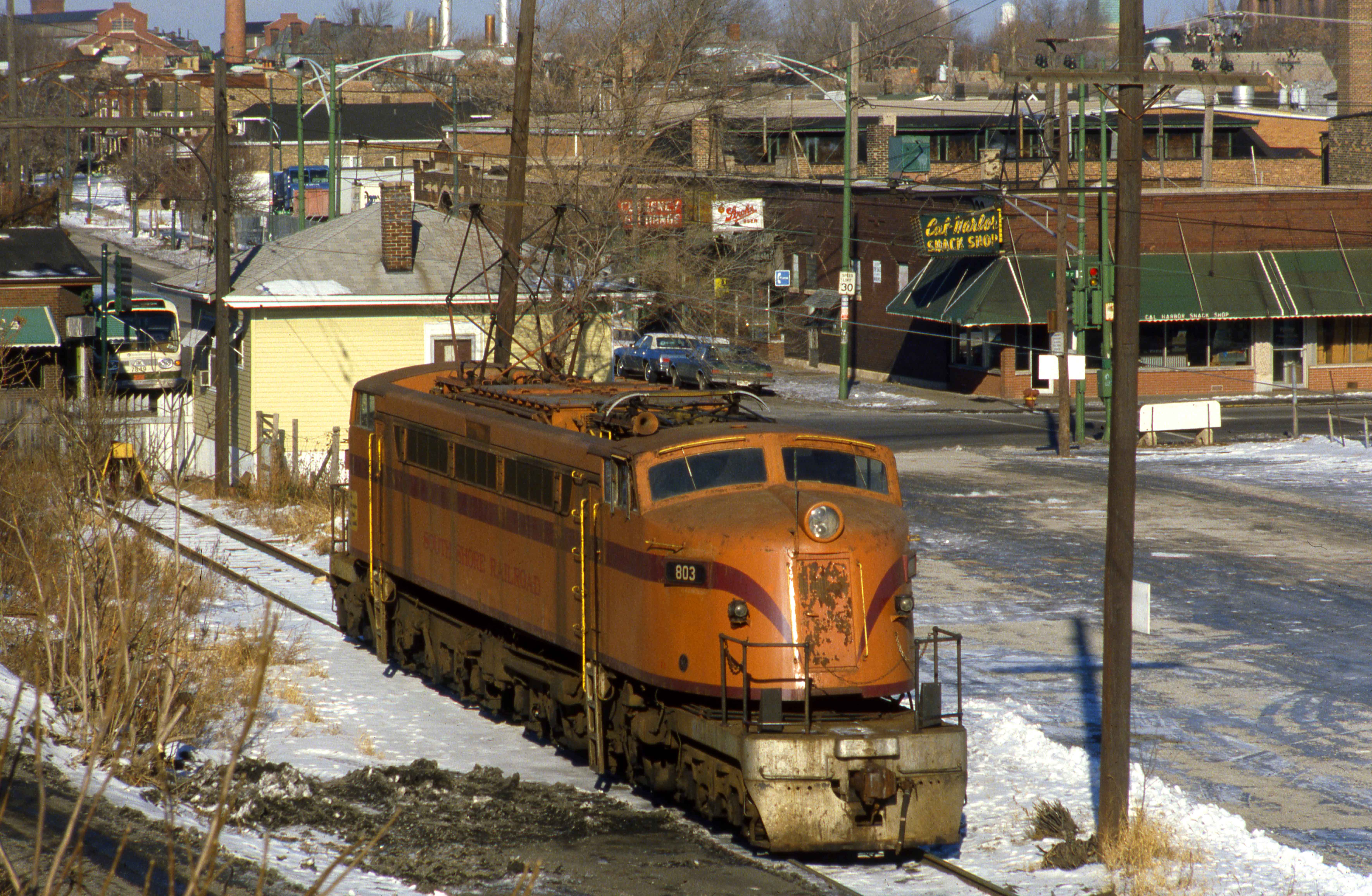
803 at Lunch

Good morning from Chi-town! The view is stunning! #Chicago #ChiTown #Illinois #IL
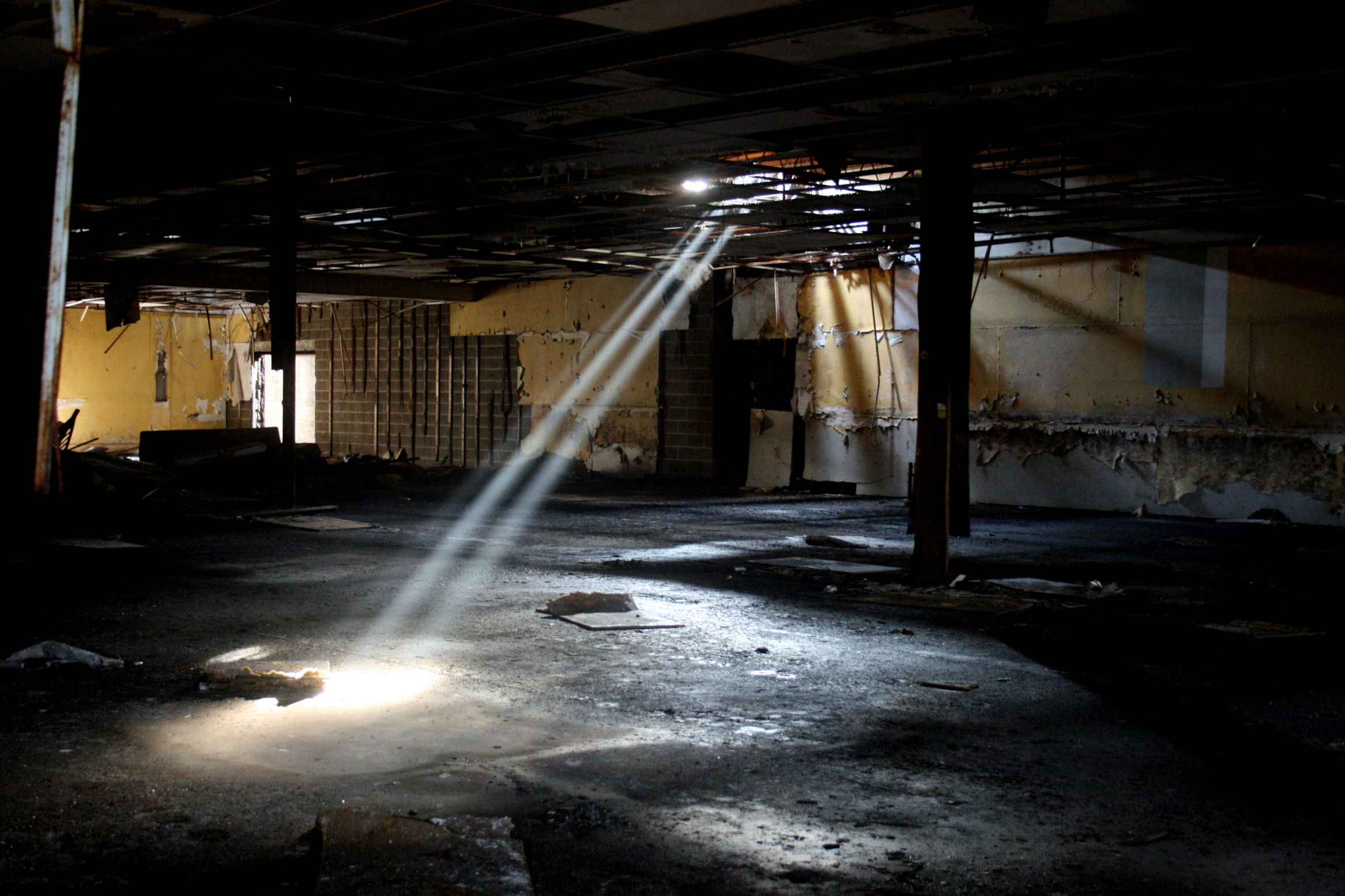
Lonely beams

Lower Lakes Towing's Calumet
(land)fill on the banks (2014 Perimeter Ride #1)
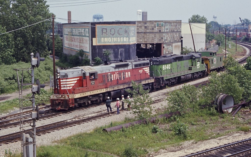
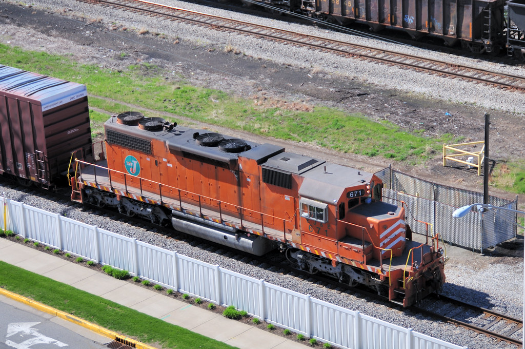
BN SD9 6127 Blue Island, IL

former Jewel/Osco near Exit Zero

Dixmoor Rust-A-Rama
The Big City From My View...

Old school Homewood
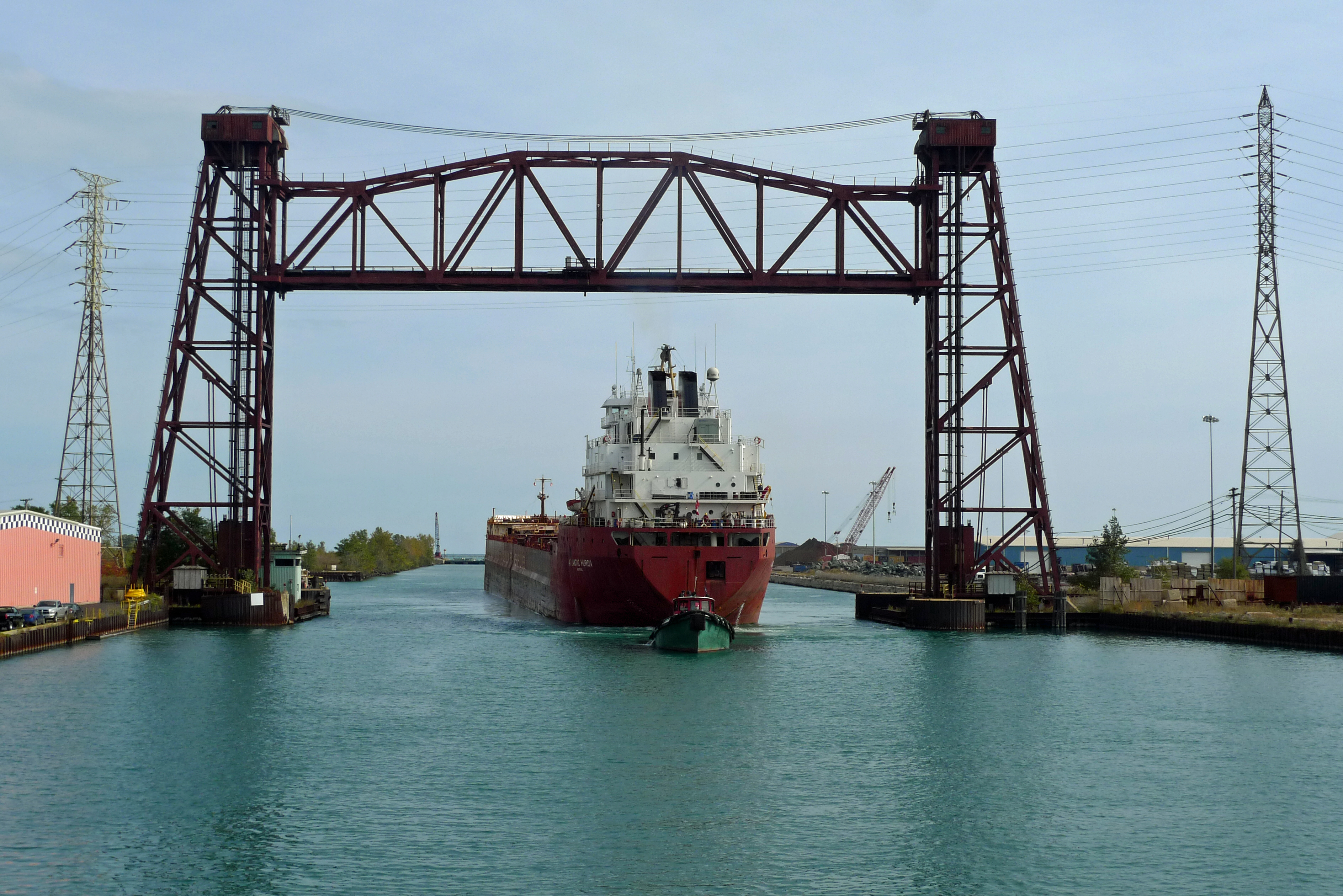
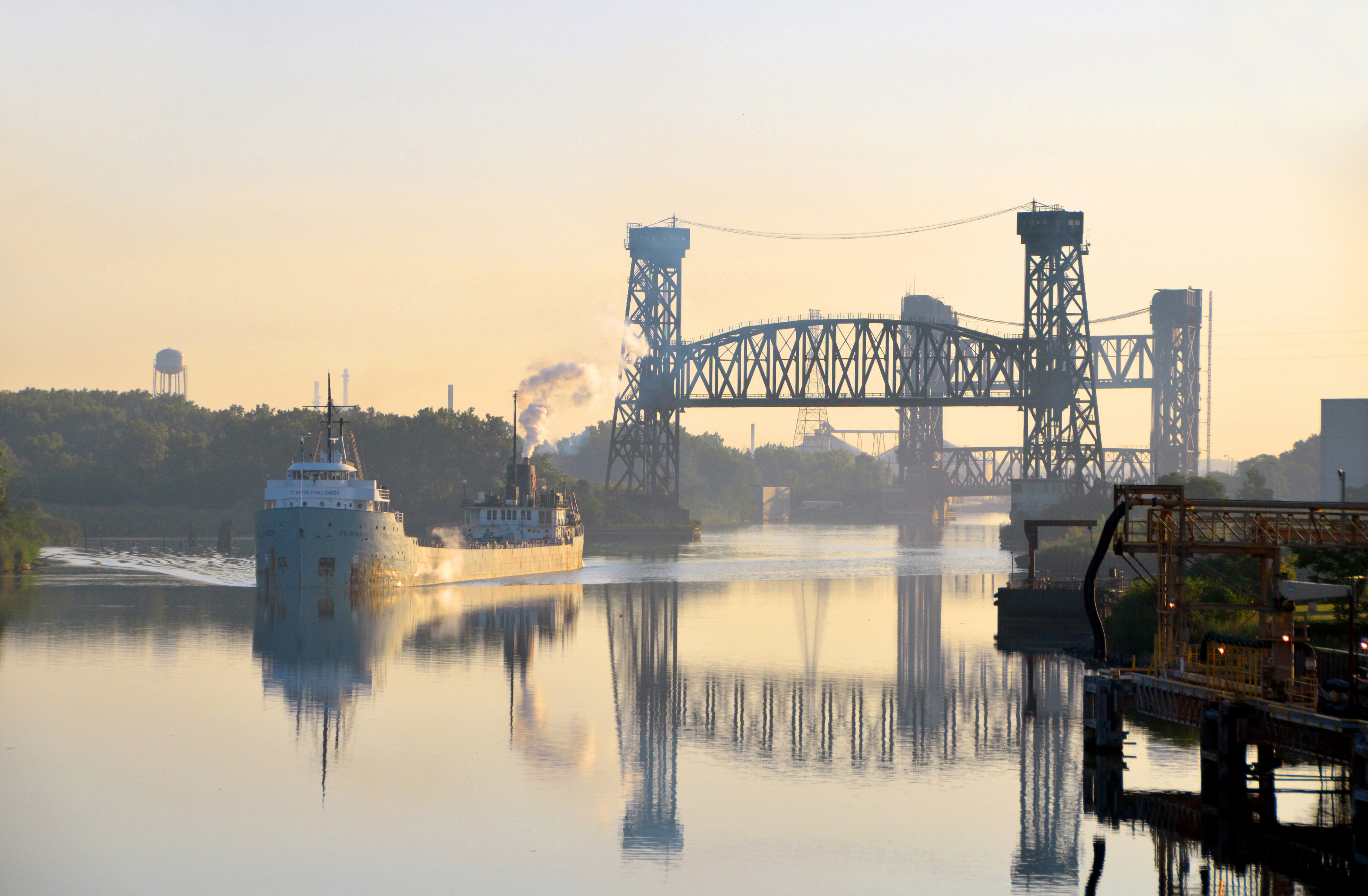
the hold up (the Atlantic Huron entering the Calumet River)

Metra Electric, 91st St Station, South Chicago Branch
living next to Iroquois Landing
Faded Glory

Bridgeview 415
Junction (Wide View)

2011-04-05 11.05.40
Bustin Plow Lines
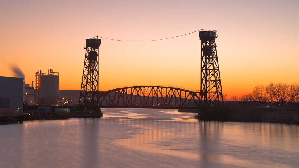
formerly known as the Calumet Skyway Toll Bridge
sunset with pylon and Building 1
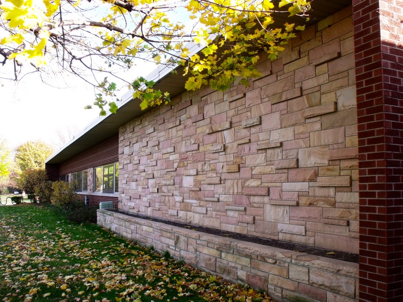
Palos Heights City Administration Center, Palos Heights
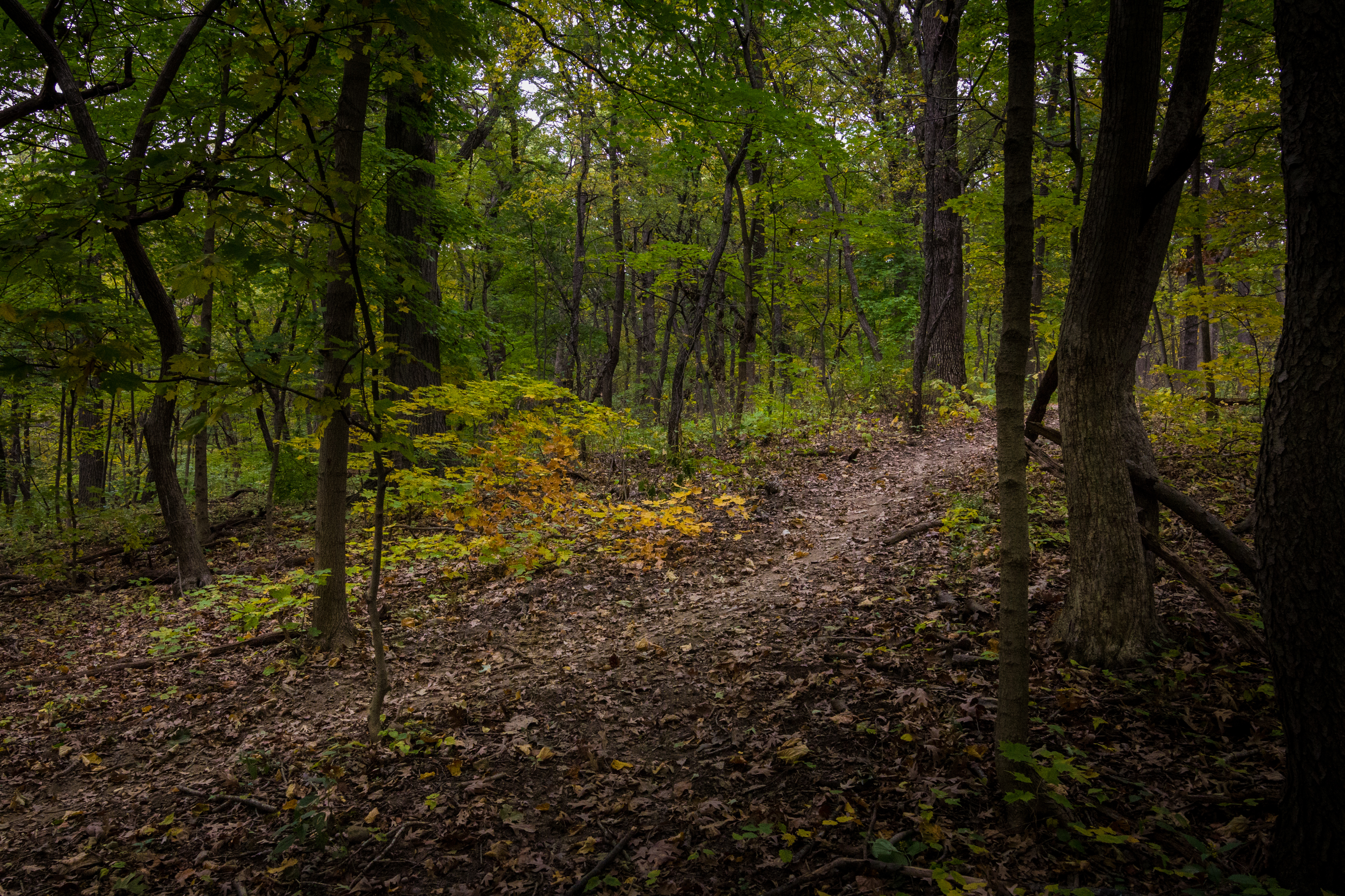
Walking through the woods
cold steel

across from the strip club (Calumet twilight)
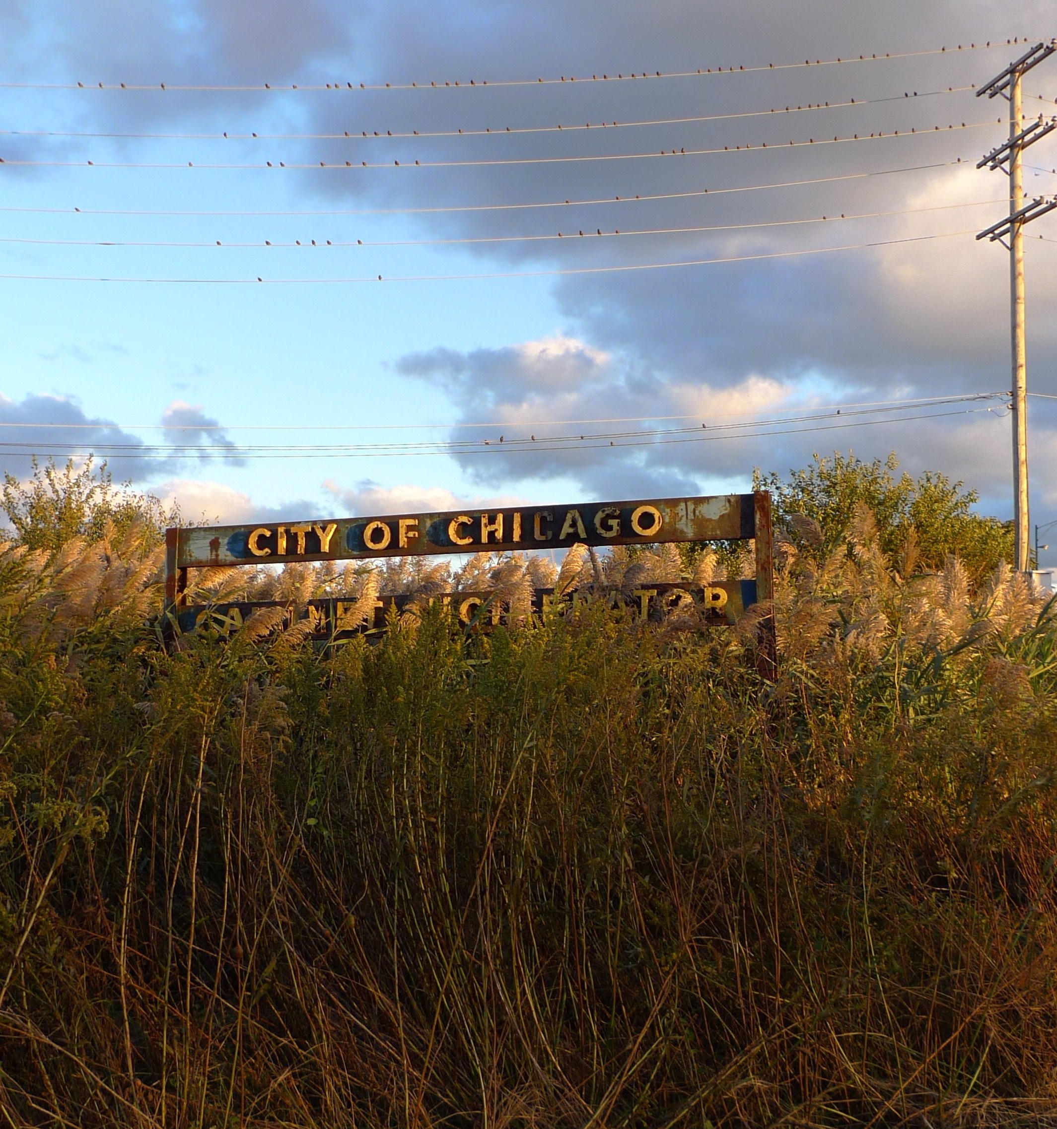
get out the vote ("Calumet Incinerator")

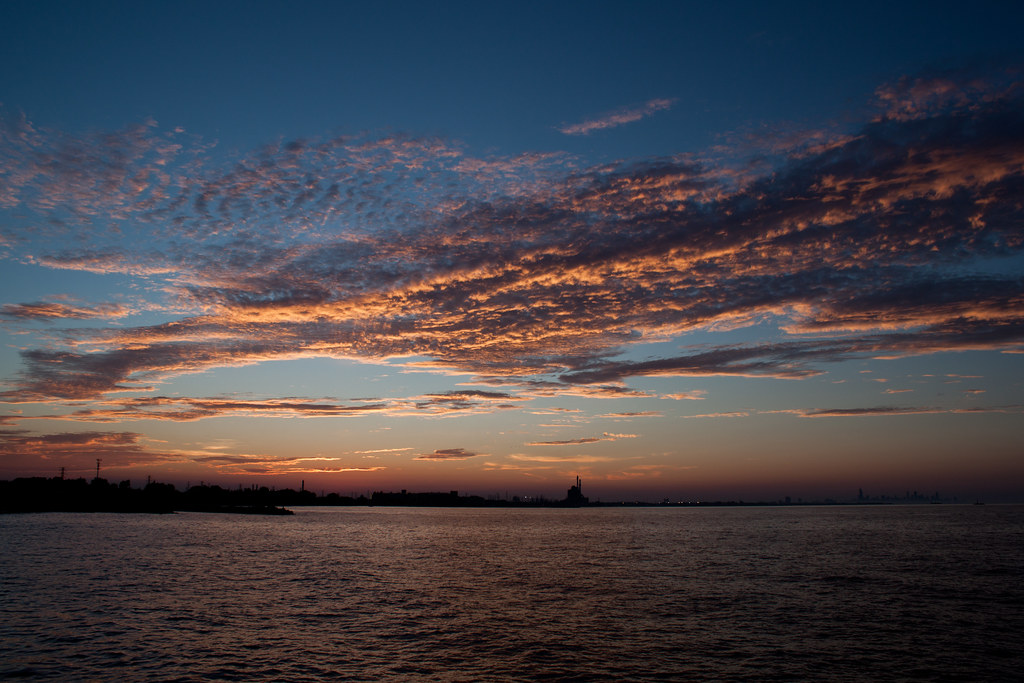
week 26 of 52 weeks theme: skyline
Entering Lake Calumet
harry bus yourell water aeration plant. december 2014
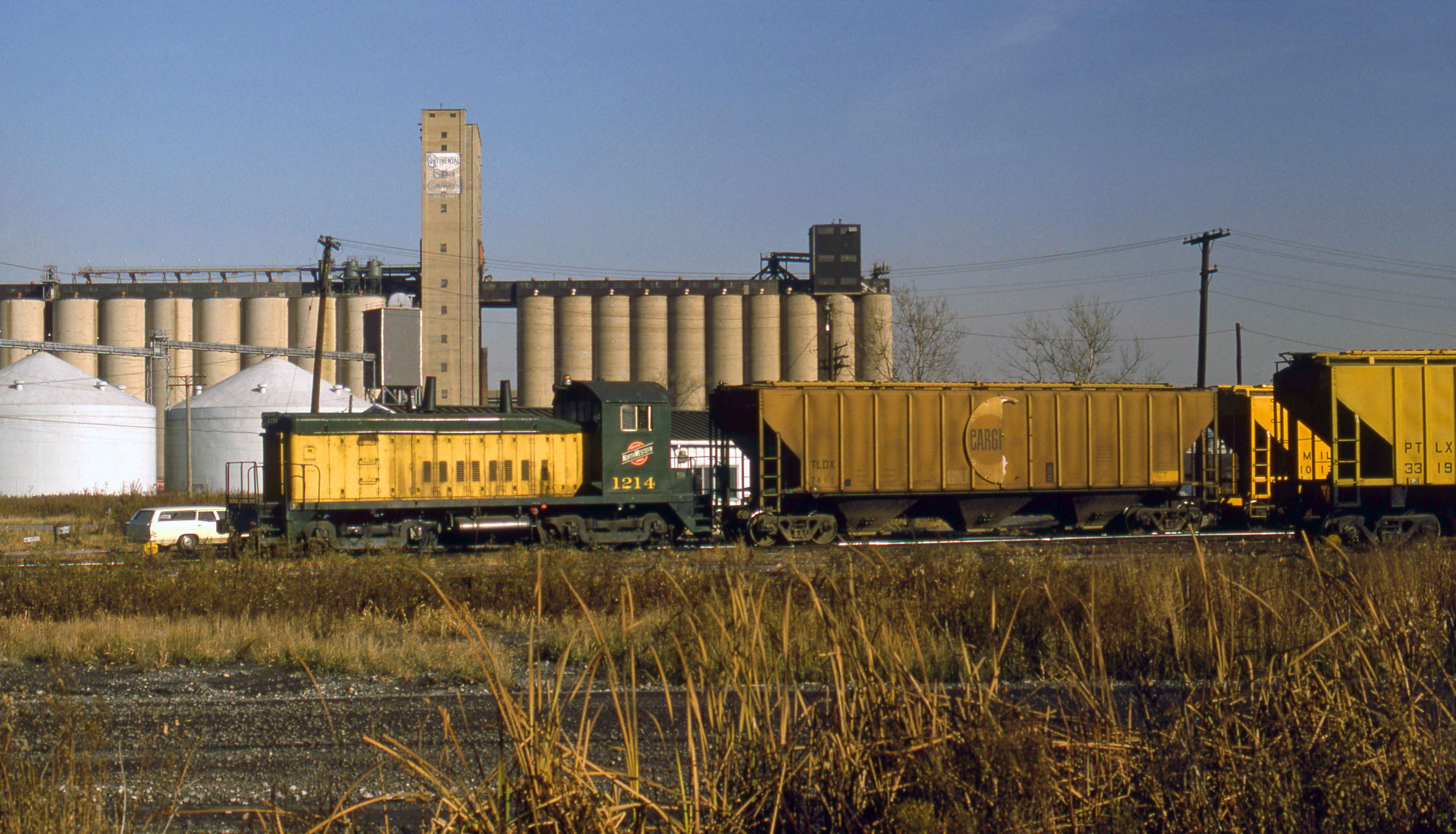
C&NW at South Chicago

turtlehead lake. march 2014
lake katherine. december 2014
lake katheine. may 2014
Evening walk in the woods
turtlehead lake. may 2014
Late Winter Scouting
lake katherine. june 2014
Wildlife 83 Jan 7 2012
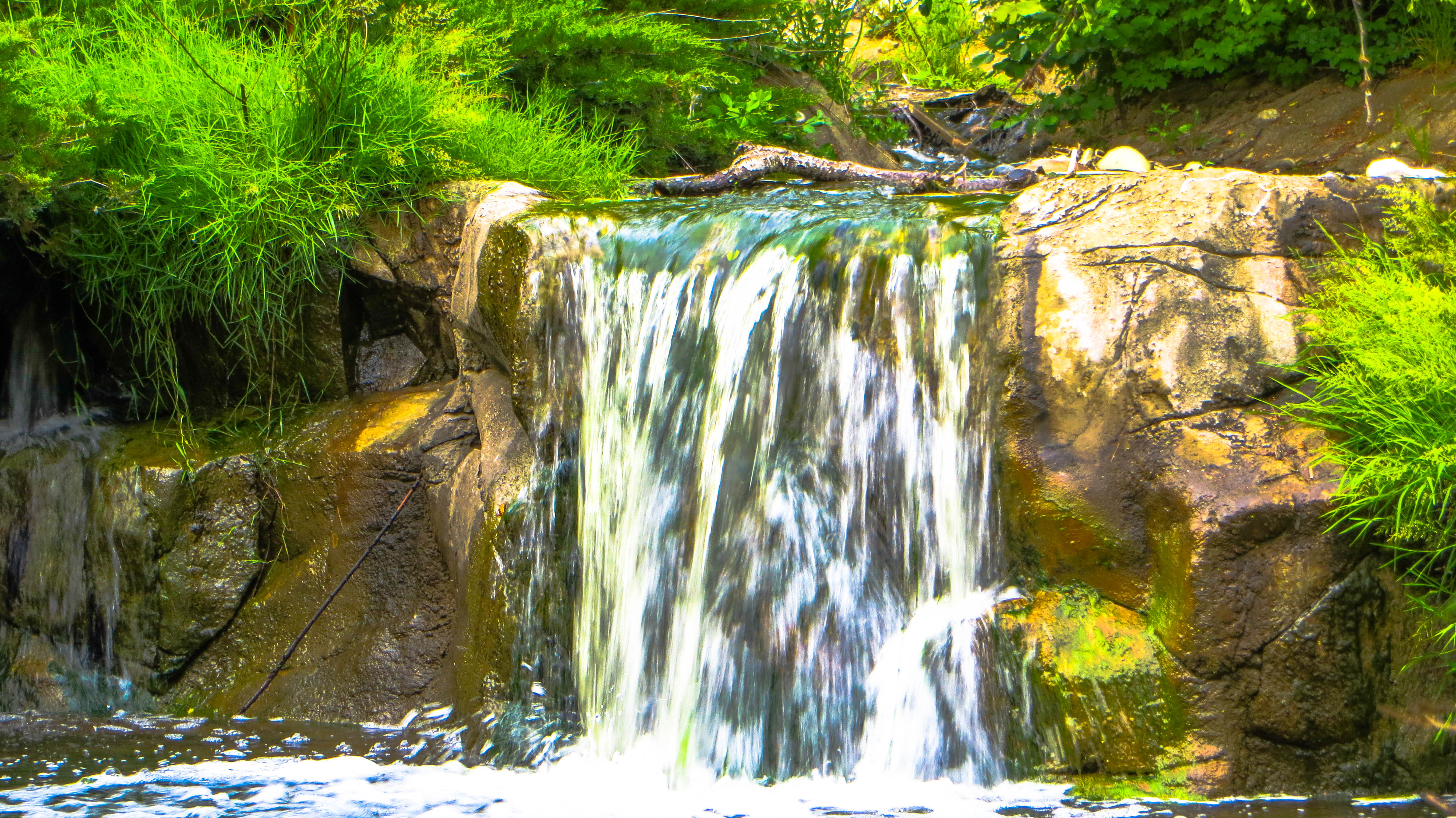
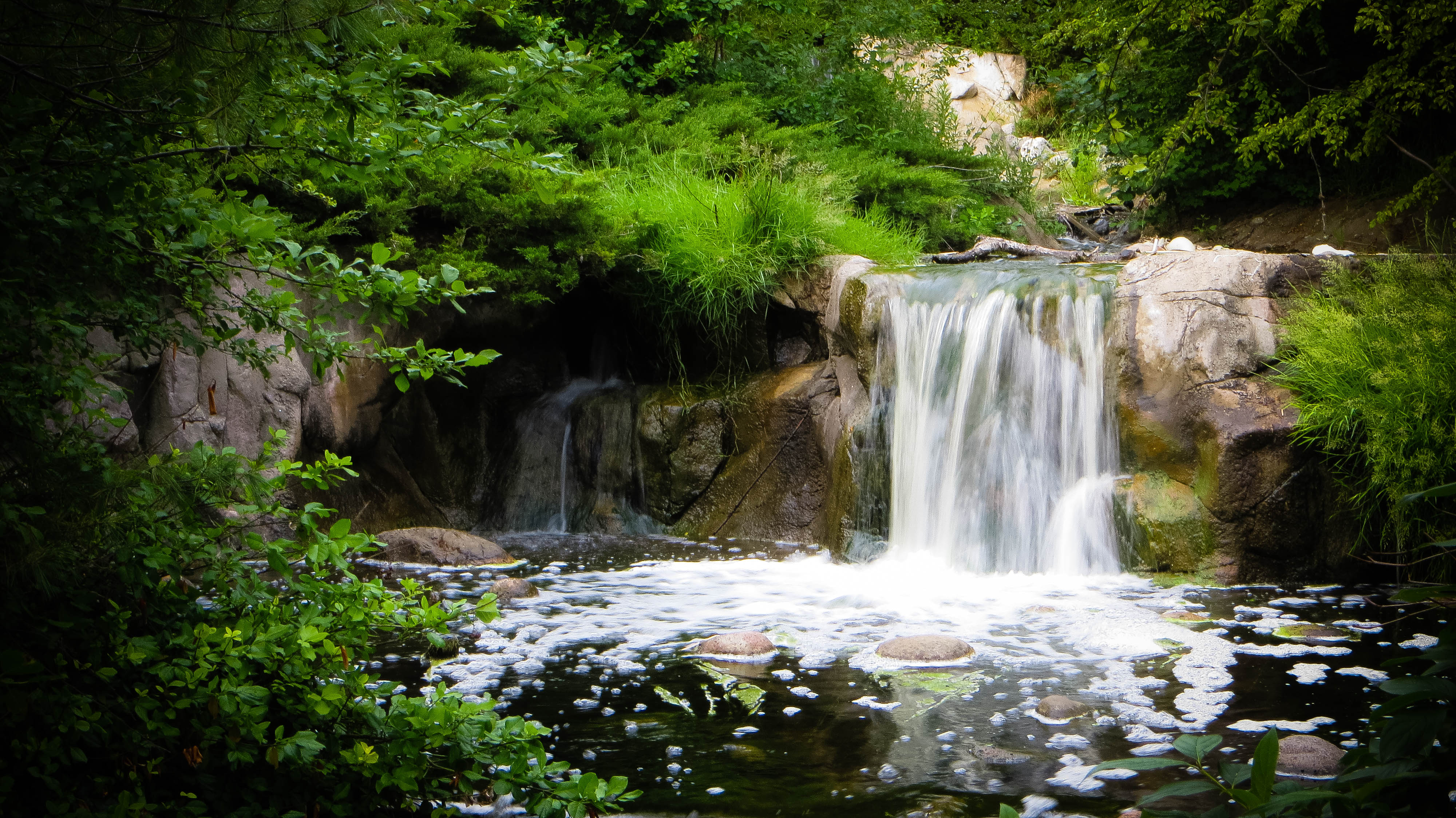
waterfall lake katherine. june 2014

sparkling 12 spot
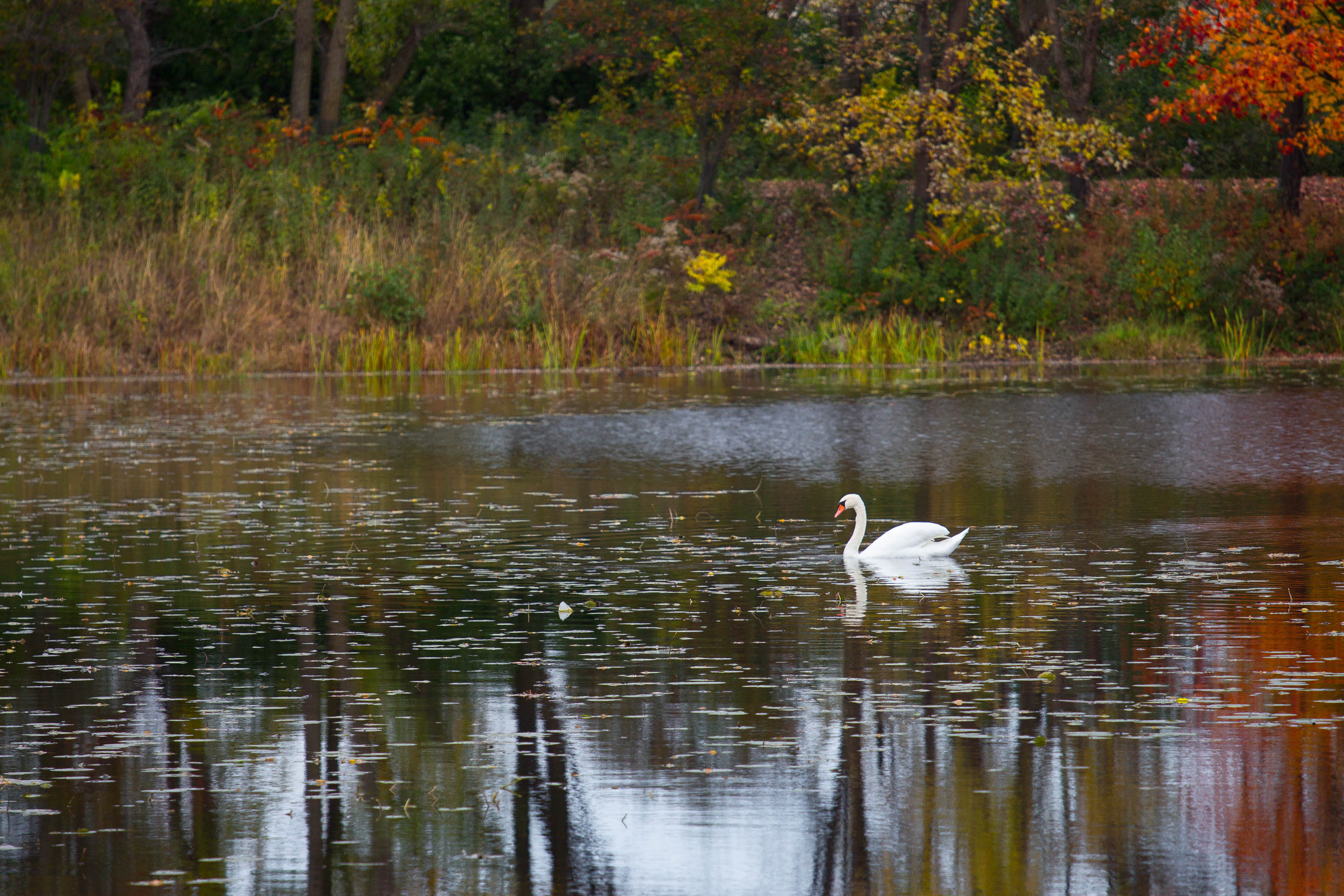
lake katherine. october 2014

sweetflag with lunch
Topographic Map of S Wood St, Dixmoor, IL, USA
Find elevation by address:

Places near S Wood St, Dixmoor, IL, USA:
Dixmoor
Campbell Ave, Posen, IL, USA
Posen
326 Shore Dr
E th St, Harvey, IL, USA
Harvey
W th St, Riverdale, IL, USA
Riverdale
Blue Island
Vincennes Rd, Harvey, IL, USA
14909 State St
A2b Cargo Inc
W th St, Robbins, IL, USA
Robbins
La Diva Braids & Beauty World
Lincoln St, Hazel Crest, IL, USA
Markham
Kedzie Ave, Markham, IL, USA
14033 Park Ave
14045 Park Ave
Recent Searches:
- Elevation of 62 Abbey St, Marshfield, MA, USA
- Elevation of Fernwood, Bradenton, FL, USA
- Elevation of Felindre, Swansea SA5 7LU, UK
- Elevation of Leyte Industrial Development Estate, Isabel, Leyte, Philippines
- Elevation of W Granada St, Tampa, FL, USA
- Elevation of Pykes Down, Ivybridge PL21 0BY, UK
- Elevation of Jalan Senandin, Lutong, Miri, Sarawak, Malaysia
- Elevation of Bilohirs'k
- Elevation of 30 Oak Lawn Dr, Barkhamsted, CT, USA
- Elevation of Luther Road, Luther Rd, Auburn, CA, USA