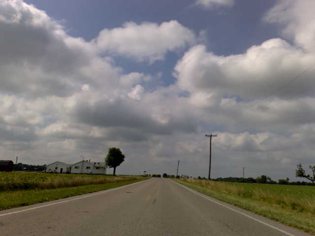
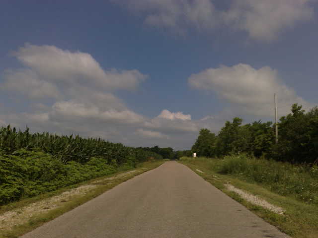
Elevation of S Wolf Creek Pike, Brookville, OH, USA
Location: United States > Ohio > Montgomery County > Clay Township > Brookville >
Longitude: -84.394894
Latitude: 39.817528
Elevation: 299m / 981feet
Barometric Pressure: 98KPa
Elevation Map:
Satellite Map:
Related Photos:

Speaking In Tongues promo shot
TrackHead Studios - So Much Sacrifice
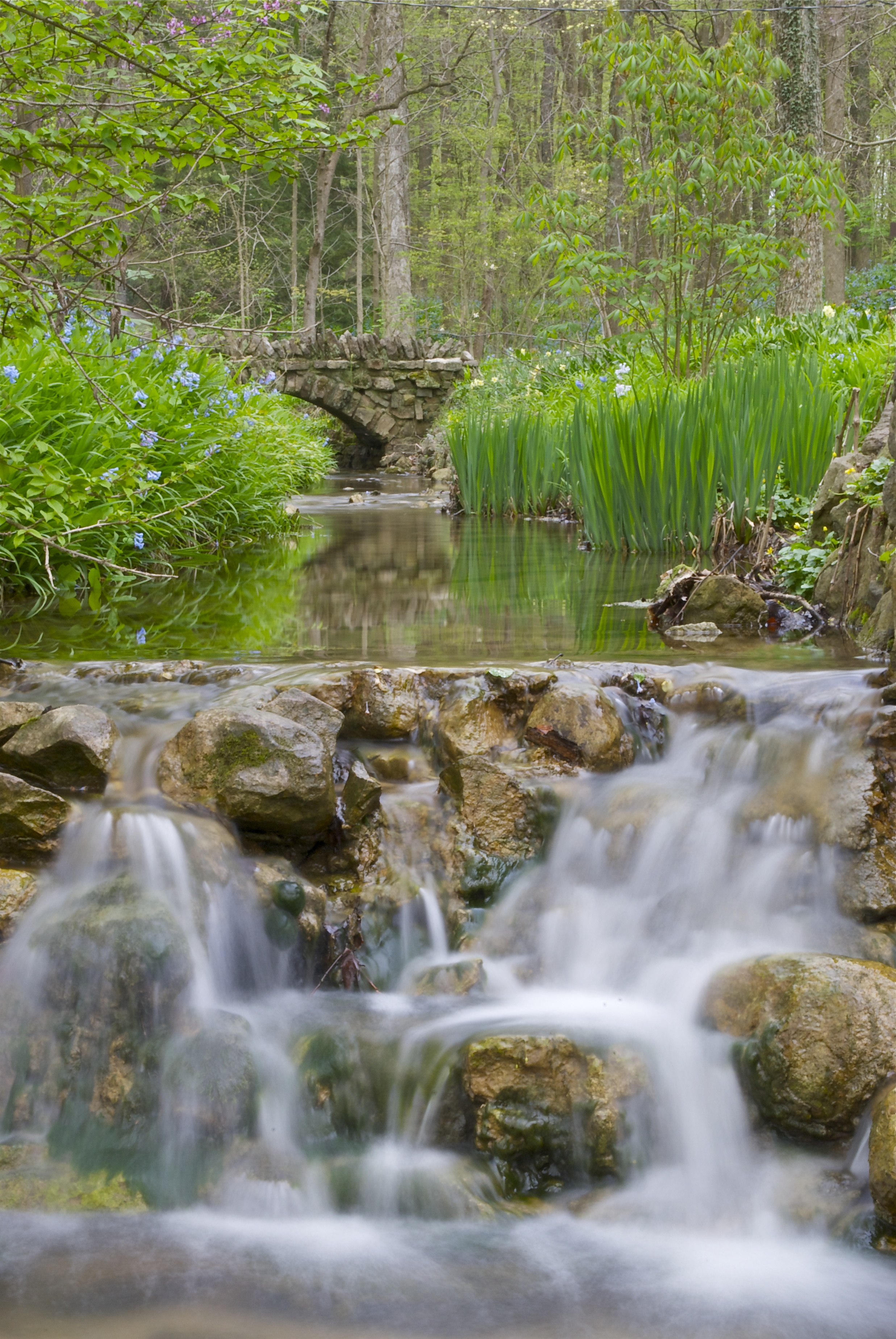
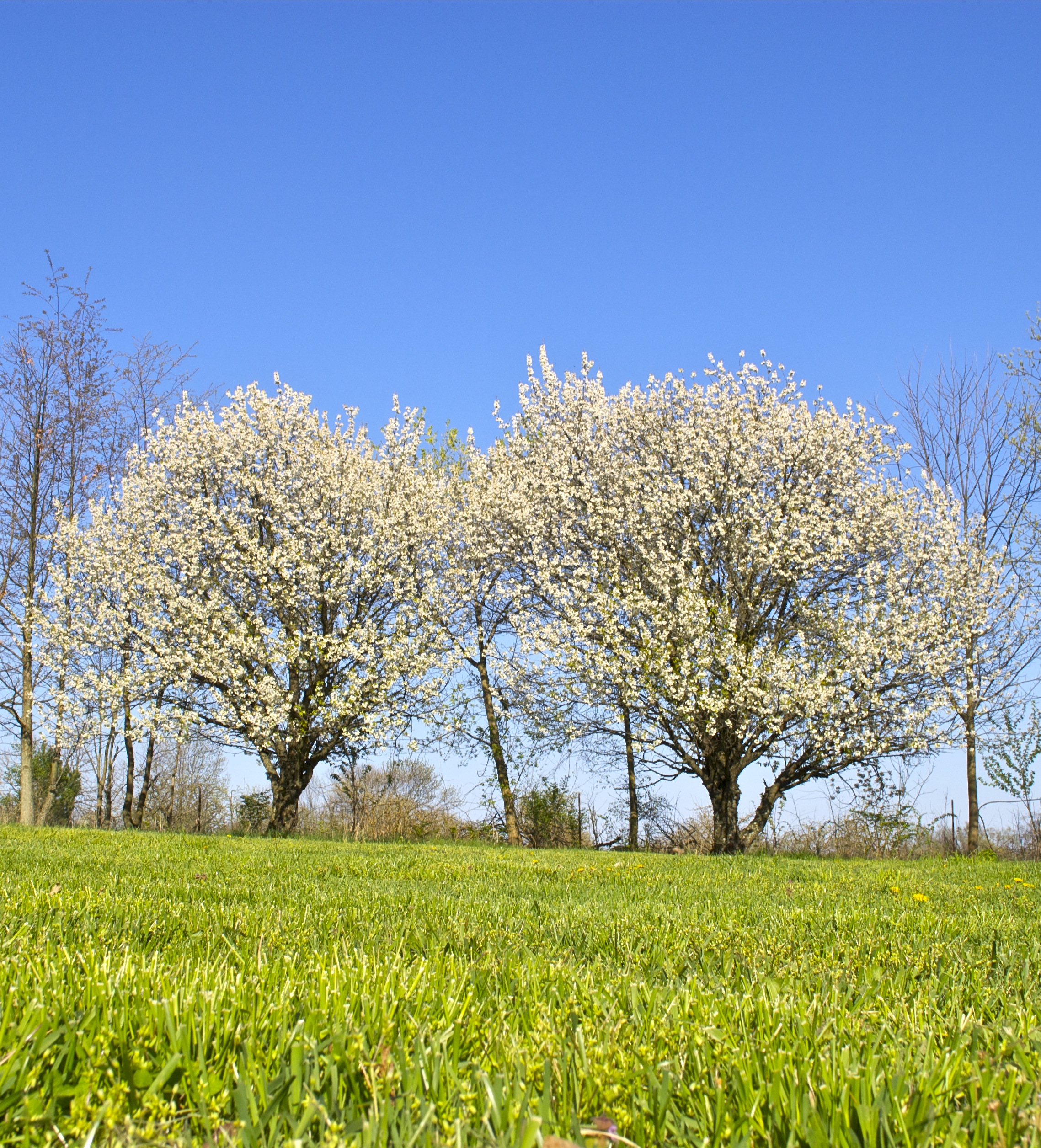
Spring Time Aulwood Stream
Wright Company Factory Site-22
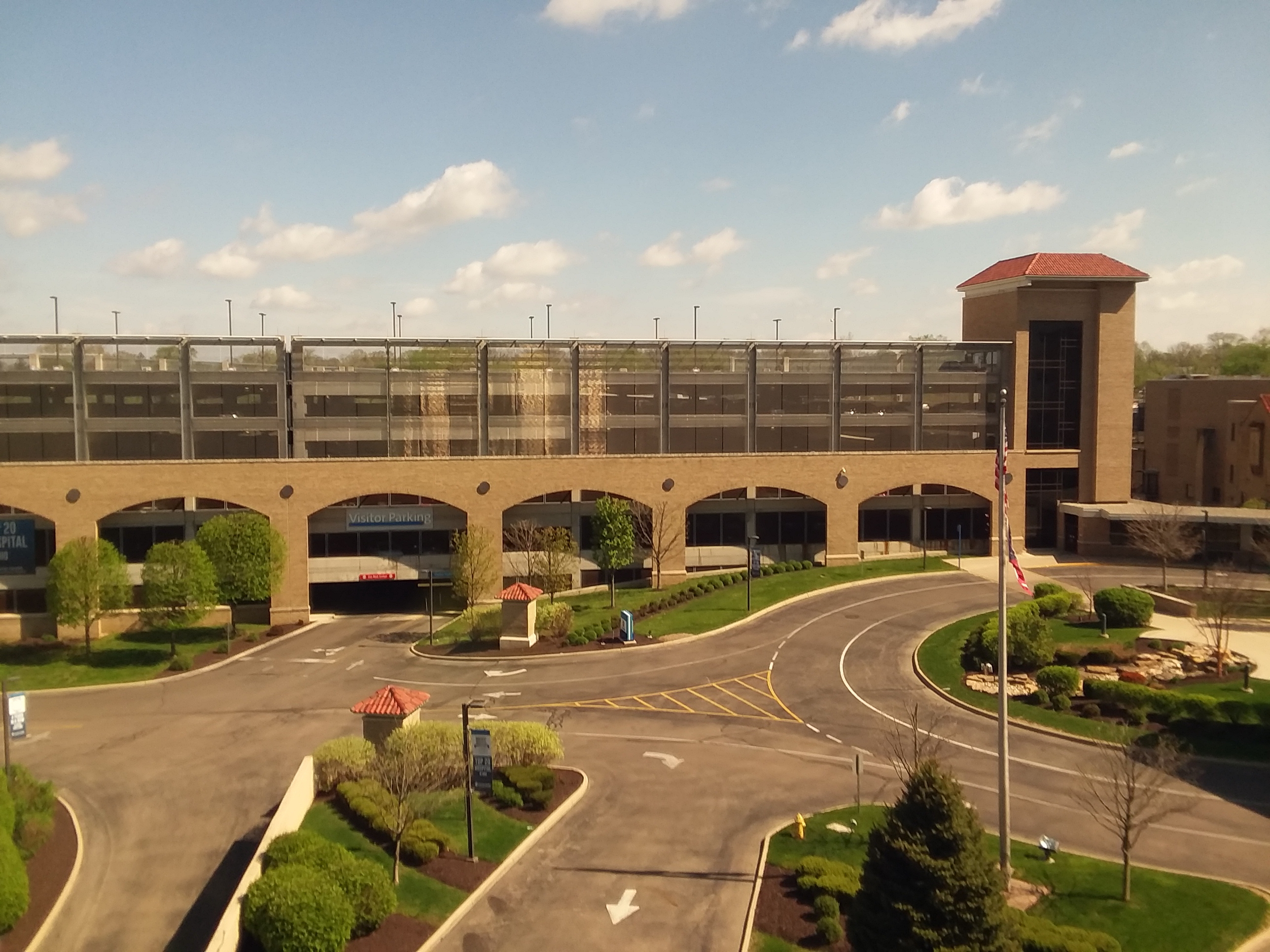
05-04-18 Dayton 09 view of Good Samaritan Hospital entrance
Earth Day 2013
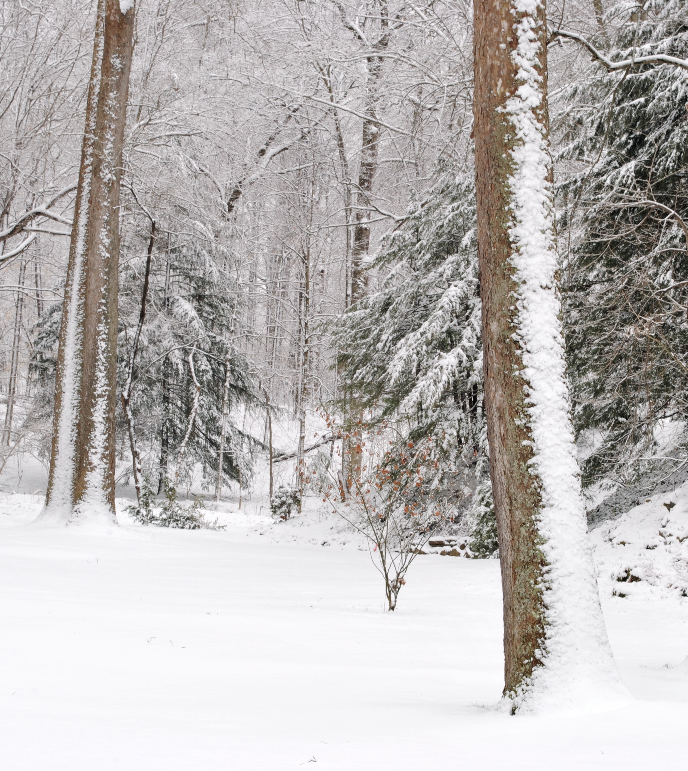
Winter Wonderland
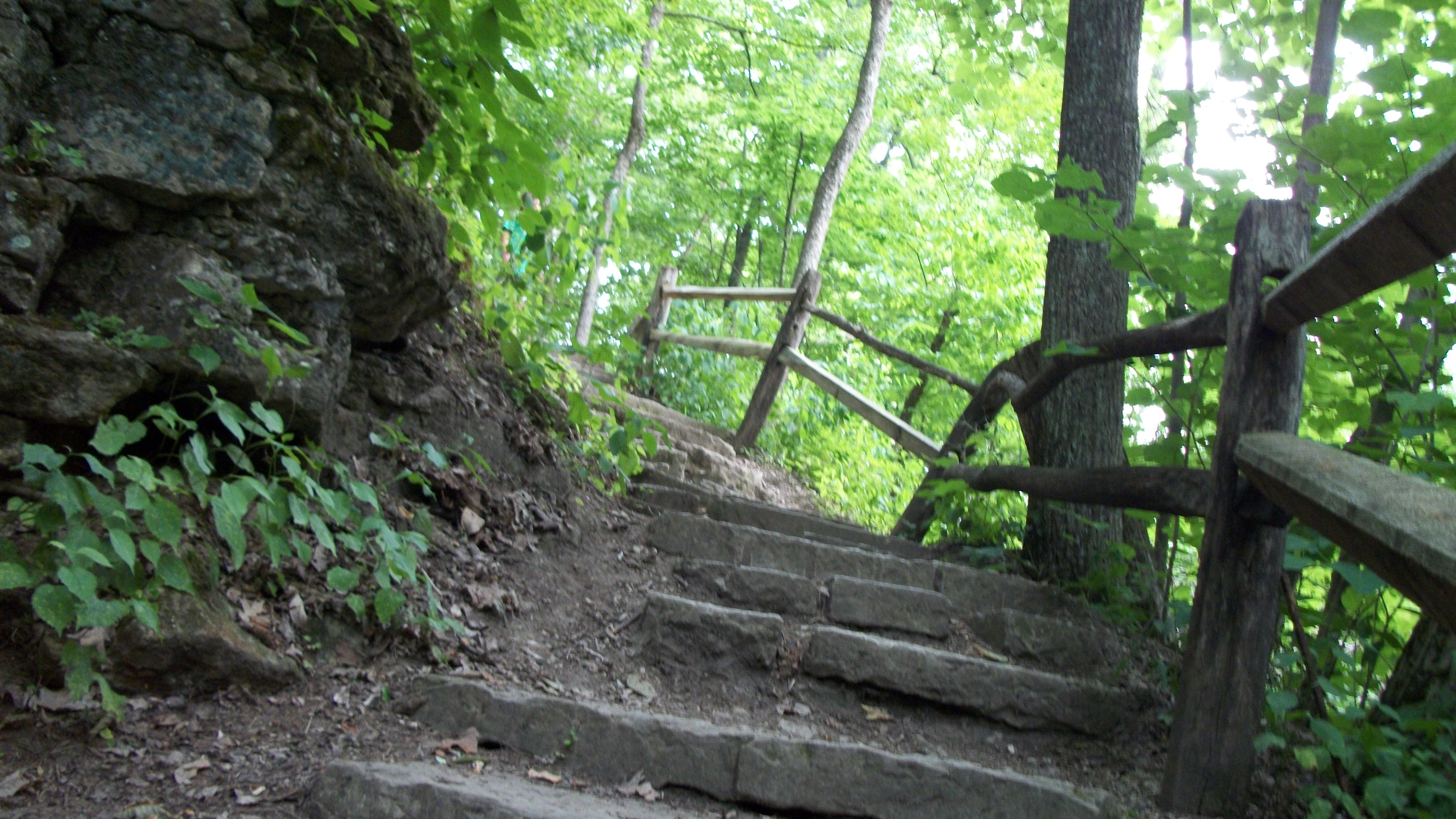
Purple Trail
Purple Trail
Winter Path
Purple Trail
Patty Falls
Wright Company Factory Site-29

Wright Company Factory Site-20

TS-590 Rear View
TS-590 Front View
Stillwater River
Is That a Yellow Submarine?
Purple Trail
Nice night view in Englewood

Early Evening at Aullwood Gardens

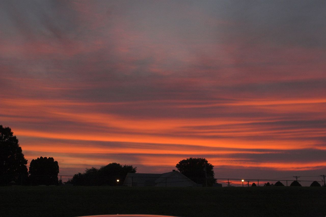
Parish Cemetery Sunset
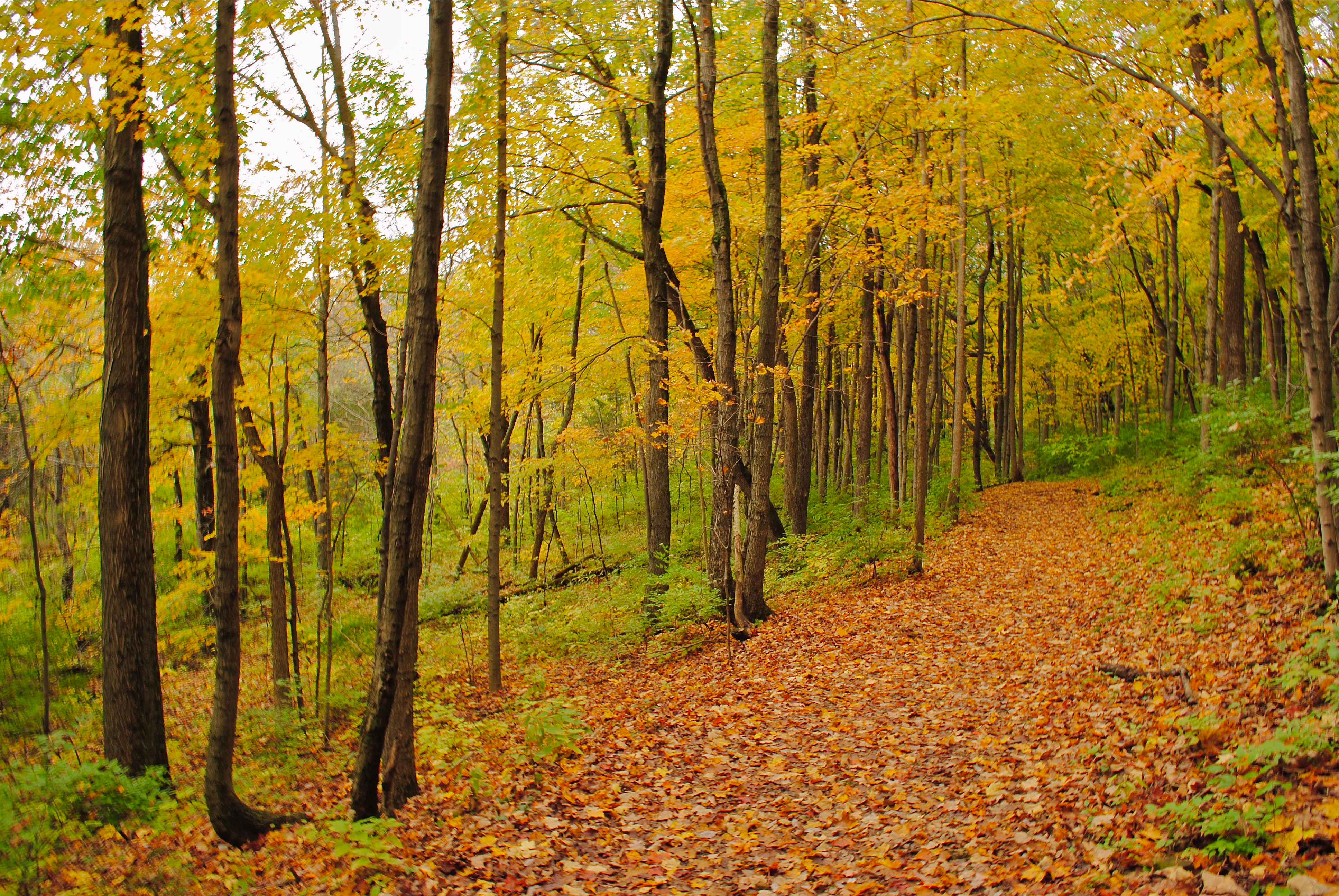
The Yellow Trail

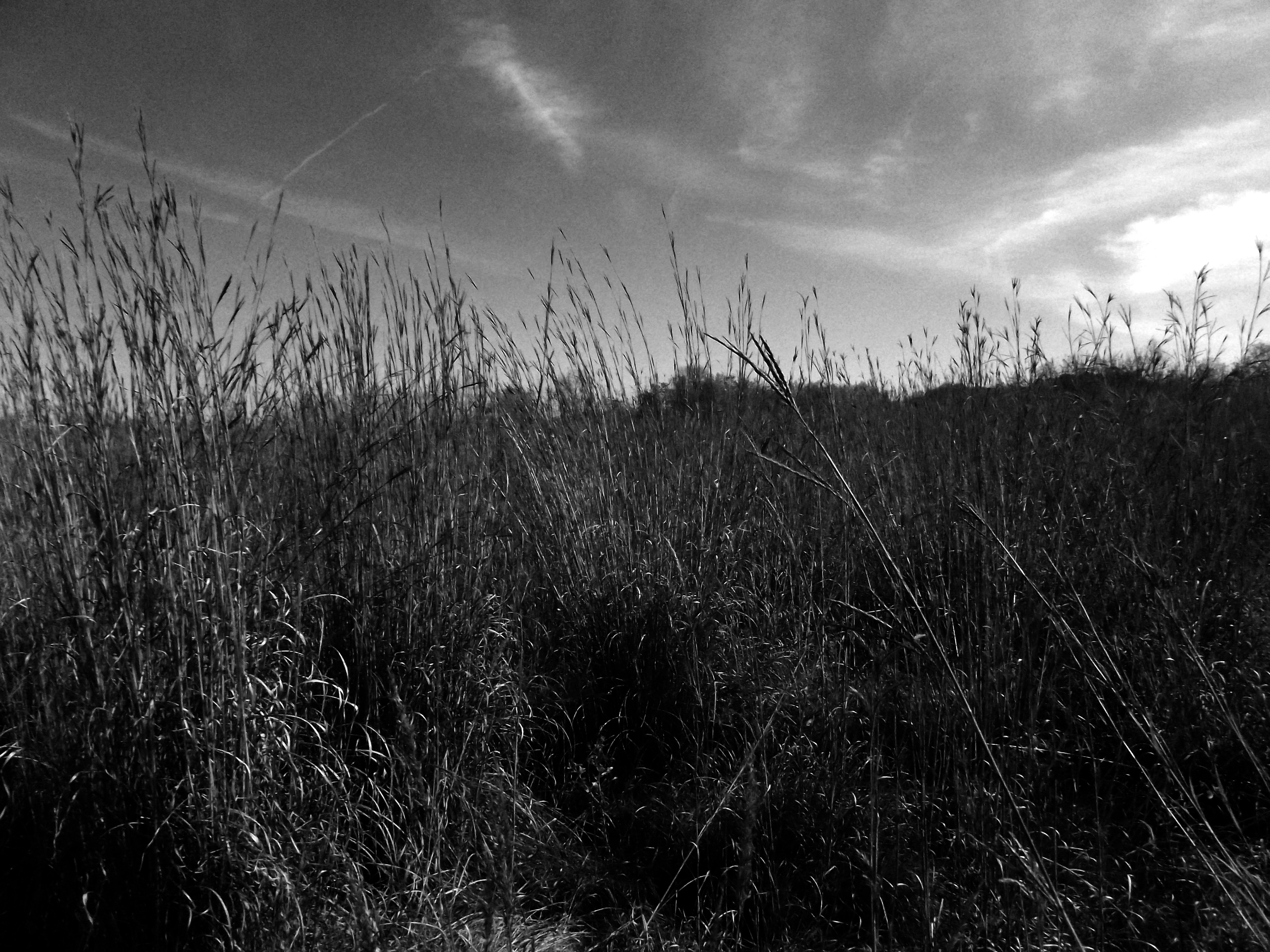
Aullwood Prairie

Heartland of Ohio

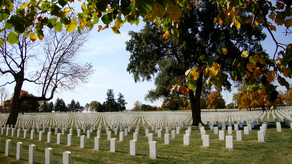
Parish Cemetery Sunset

Aullwood Gardens 5-19-2012
Blue Steel took a picture!
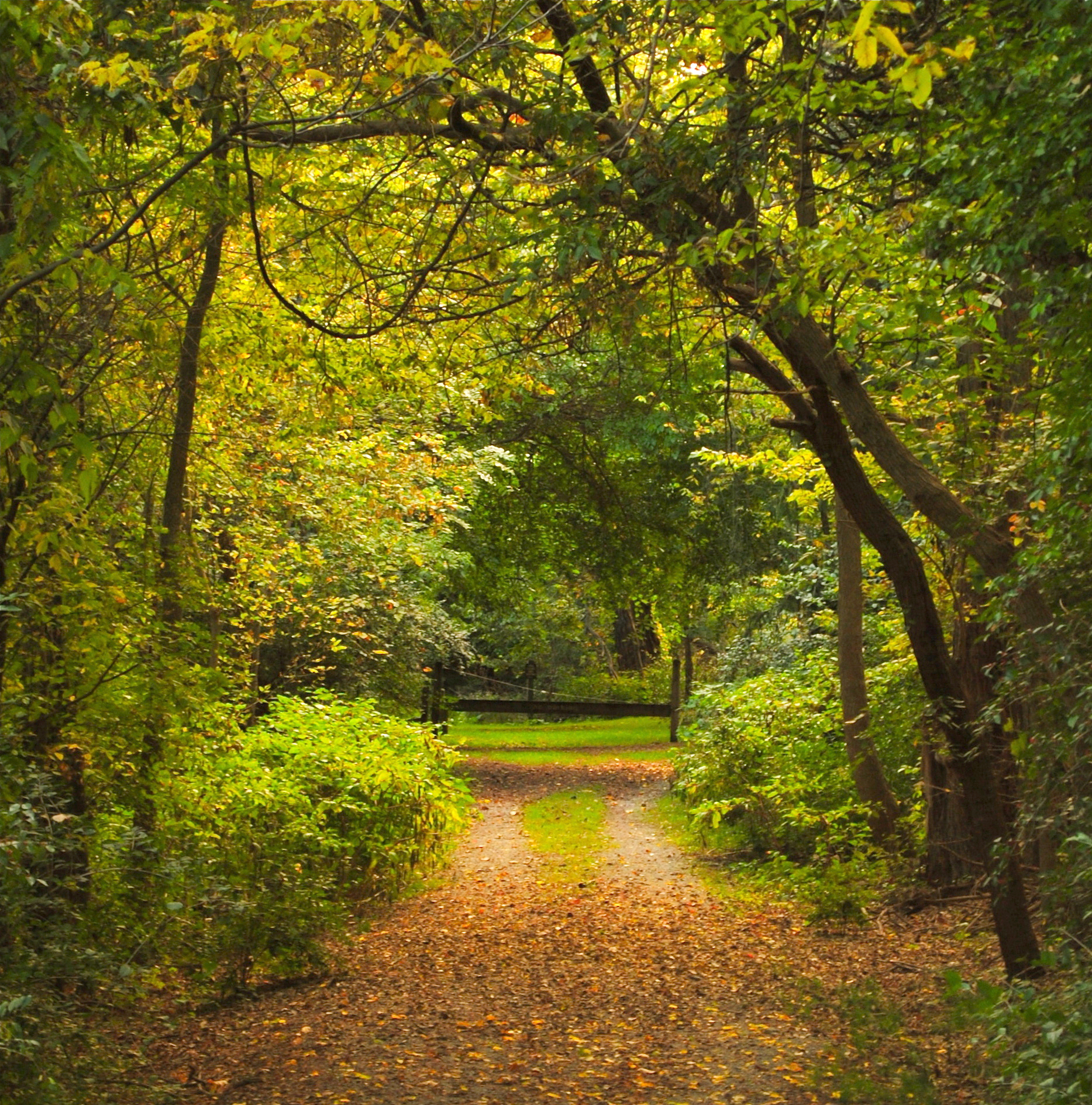
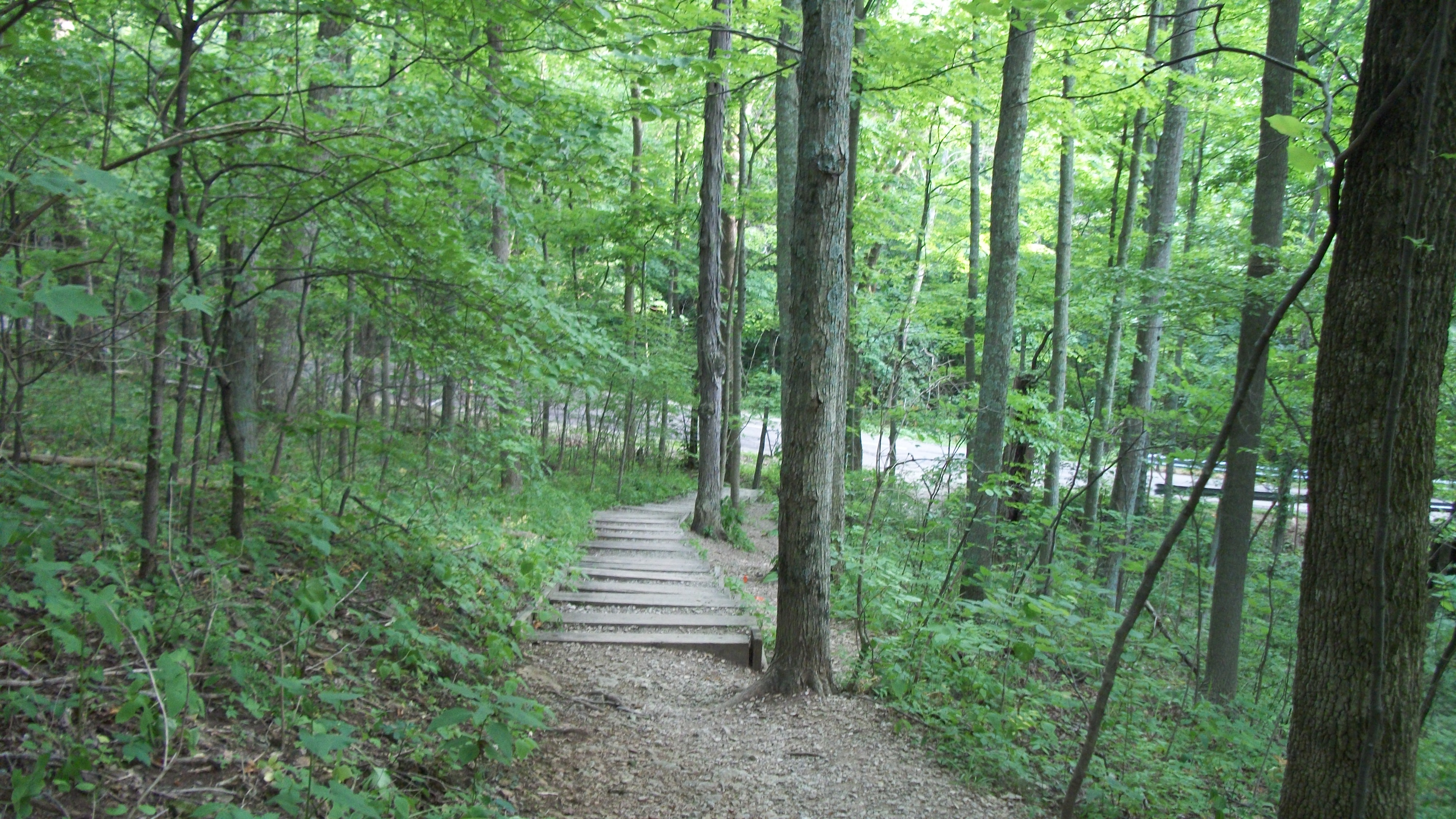
The Trails End
Blue Steel took a picture!
Blue Steel took a picture!
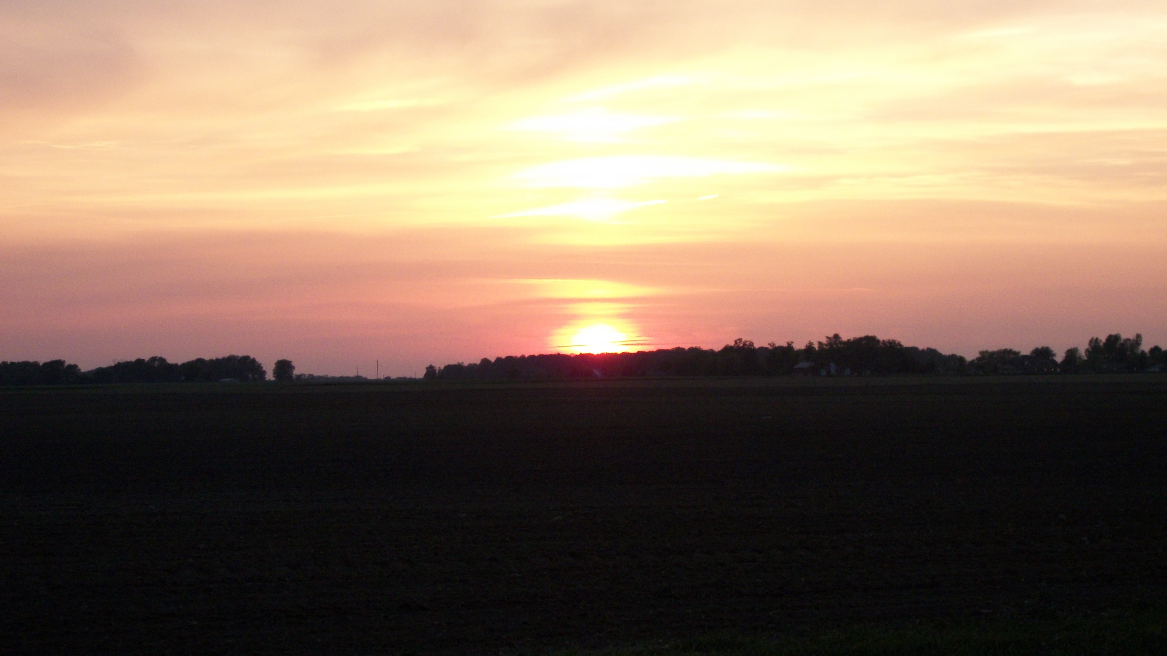
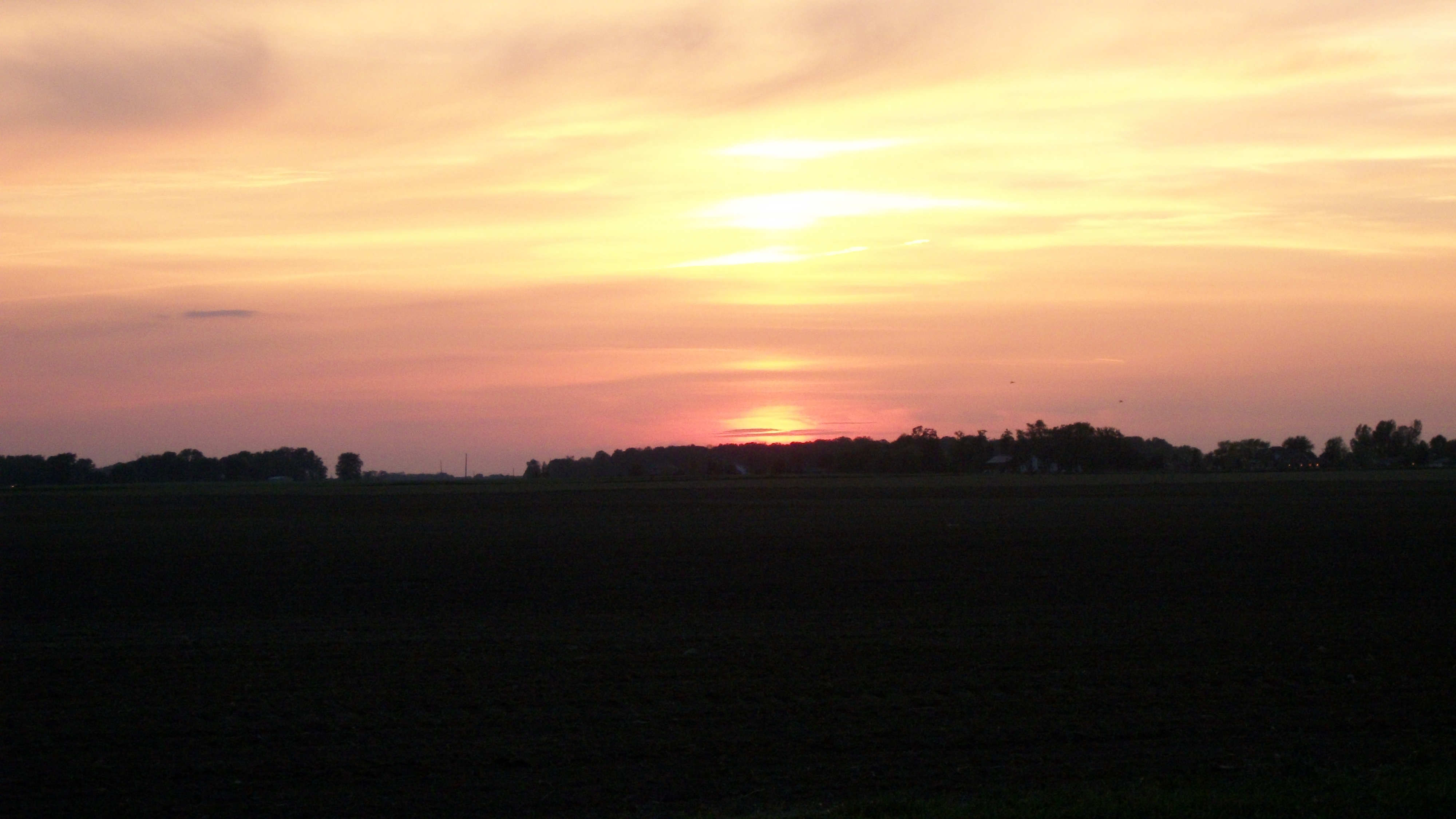
Parish Cemetery Sunset
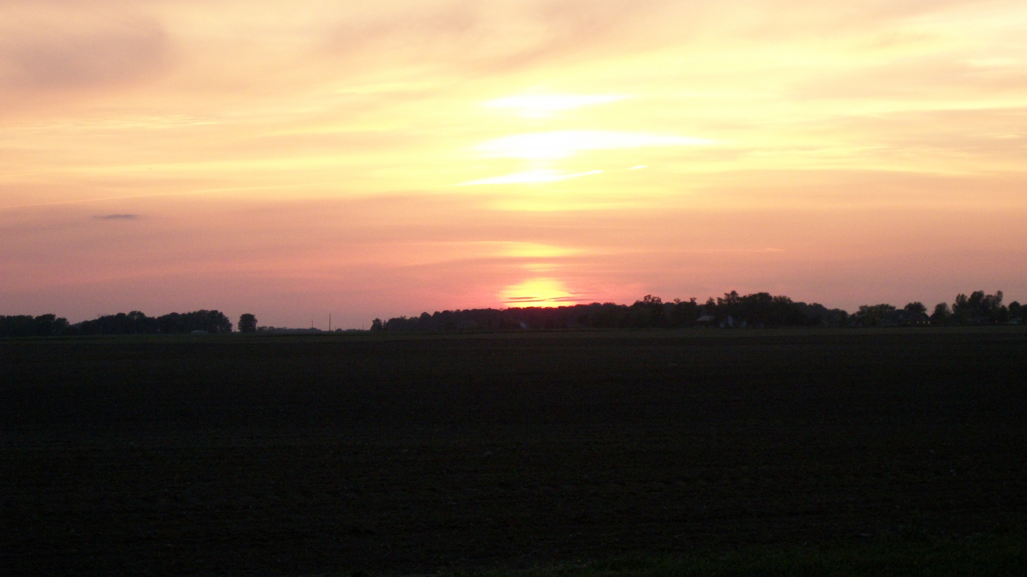
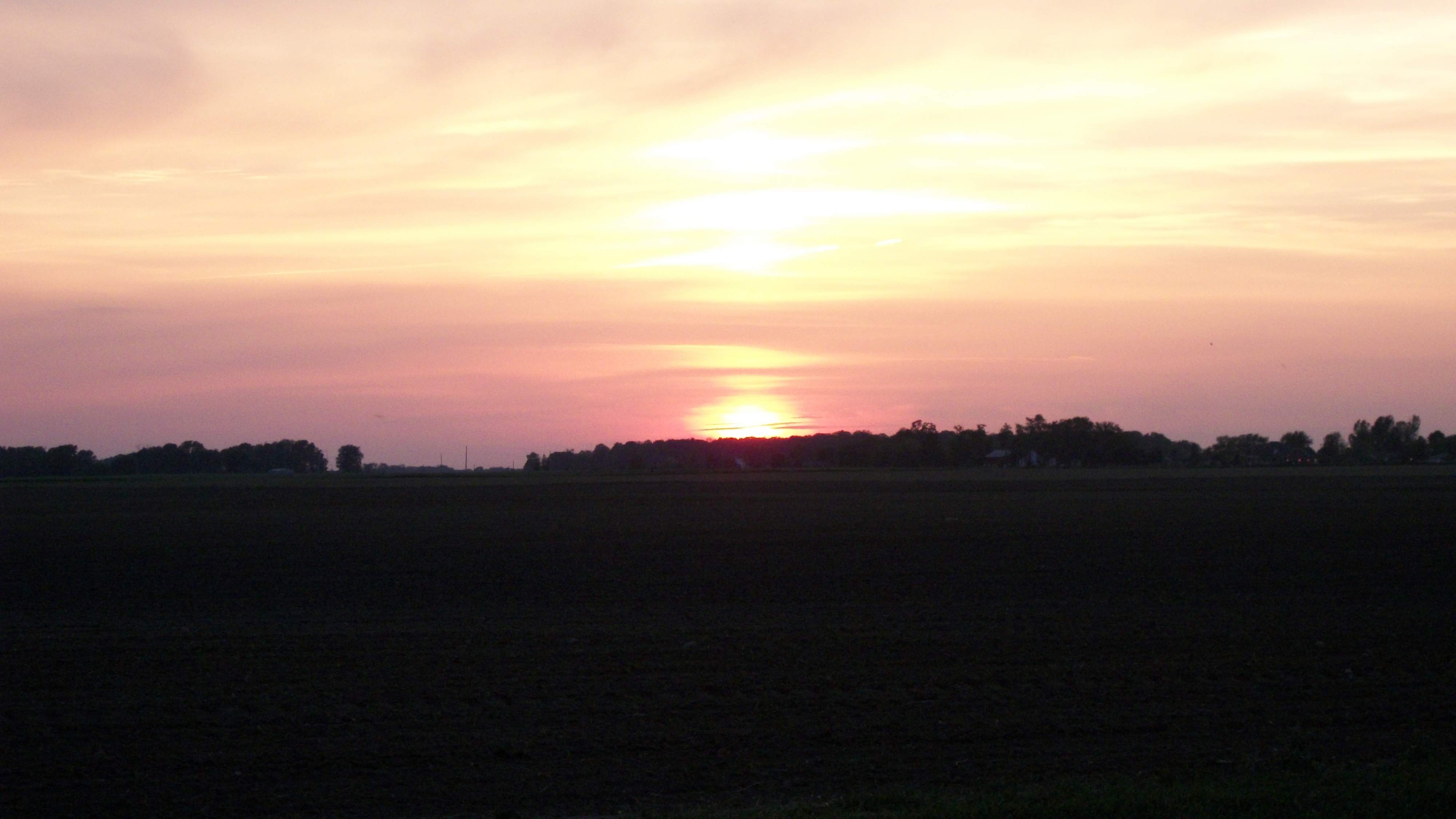
Parish Cemetery Sunset
Parish Cemetery Sunset
Parish Cemetery Sunset
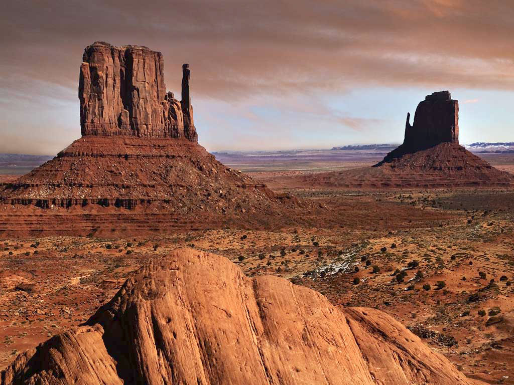
Desert Landscape
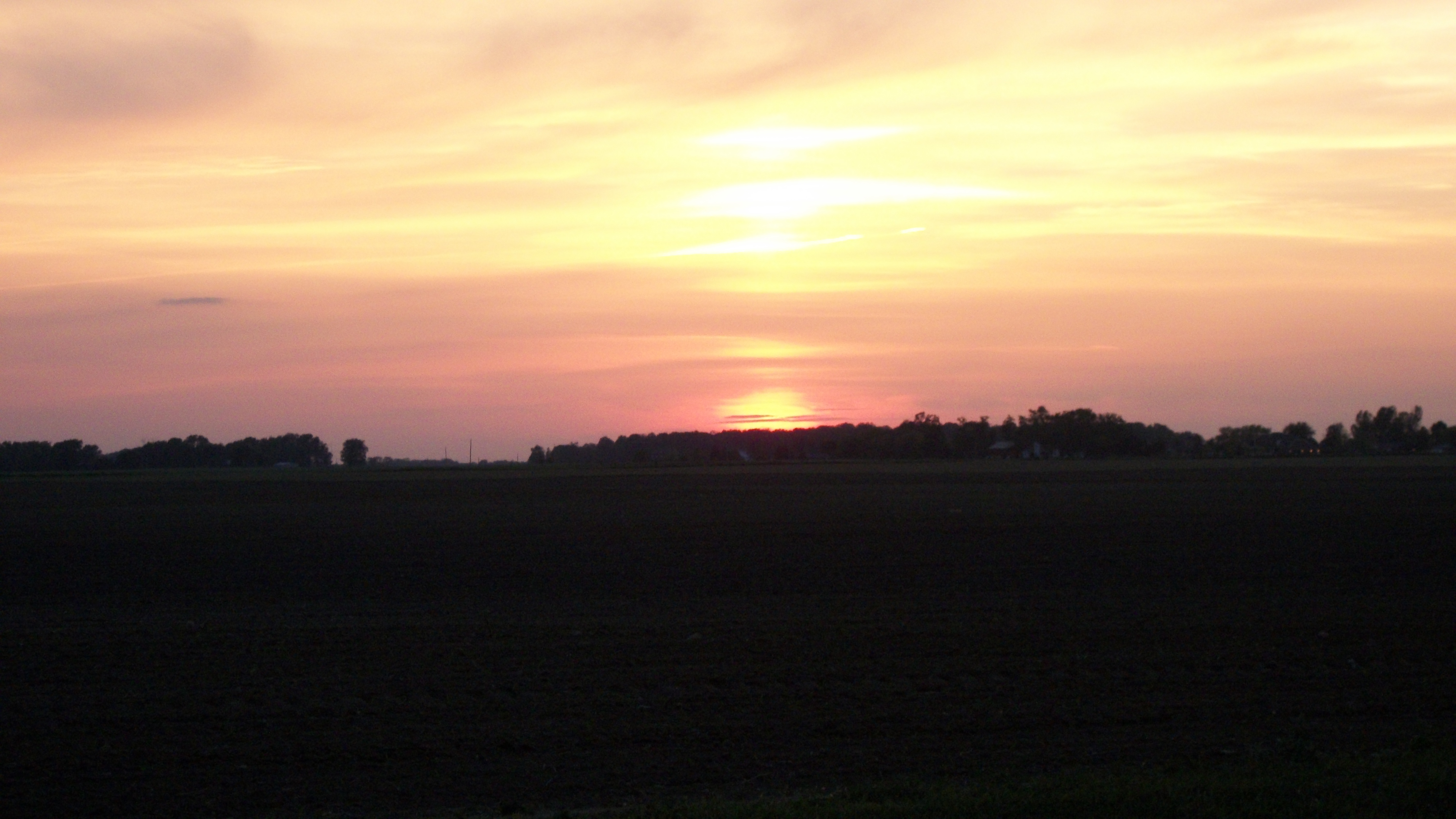
Parish Cemetery Sunset
DSCF4258 copy
Topographic Map of S Wolf Creek Pike, Brookville, OH, USA
Find elevation by address:

Places near S Wolf Creek Pike, Brookville, OH, USA:
Brookville
Moose Court
311 Arlington Rd
595 Golden Meadow Ave
Perry Township
14142 Brookville Pyrmont Rd
Clay Township
Little Richmond Rd, New Lebanon, OH, USA
New Lebanon
National Rd, Brookville, OH, USA
5821 Cedarwood Dr
15774 Little Richmond Rd
Lewisburg
N Commerce St, Lewisburg, OH, USA
OH-, West Alexandria, OH, USA
Twin Township
59 E 2nd St
West Alexandria
93 Quaker Trace Rd, West Alexandria, OH, USA
109 Tiffin Ct
Recent Searches:
- Elevation of Elwyn Dr, Roanoke Rapids, NC, USA
- Elevation of Congressional Dr, Stevensville, MD, USA
- Elevation of Bellview Rd, McLean, VA, USA
- Elevation of Stage Island Rd, Chatham, MA, USA
- Elevation of Shibuya Scramble Crossing, 21 Udagawacho, Shibuya City, Tokyo -, Japan
- Elevation of Jadagoniai, Kaunas District Municipality, Lithuania
- Elevation of Pagonija rock, Kranto 7-oji g. 8"N, Kaunas, Lithuania
- Elevation of Co Rd 87, Jamestown, CO, USA
- Elevation of Tenjo, Cundinamarca, Colombia
- Elevation of Côte-des-Neiges, Montreal, QC H4A 3J6, Canada