Elevation of S Westwood Cir, Ishpeming, MI, USA
Location: United States > Michigan > Marquette County > West Ishpeming >
Longitude: -87.709407
Latitude: 46.480518
Elevation: 438m / 1437feet
Barometric Pressure: 96KPa
Elevation Map:
Satellite Map:
Related Photos:
Mosquito Eye View

Cutout U.S. 41 Shield in Ishpeming, Wider View

ORE TO SHORE 2005
600 at National Mine
Out of the Shadows
Worth It
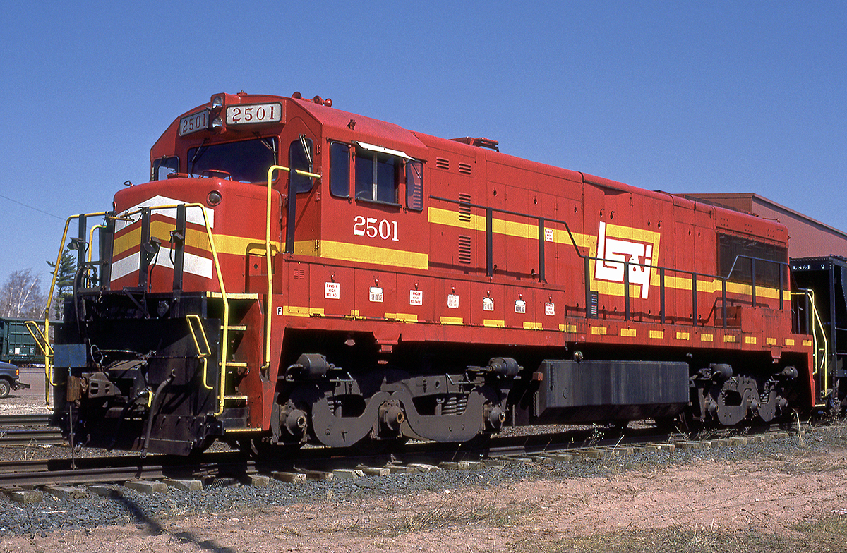
LSI 2501
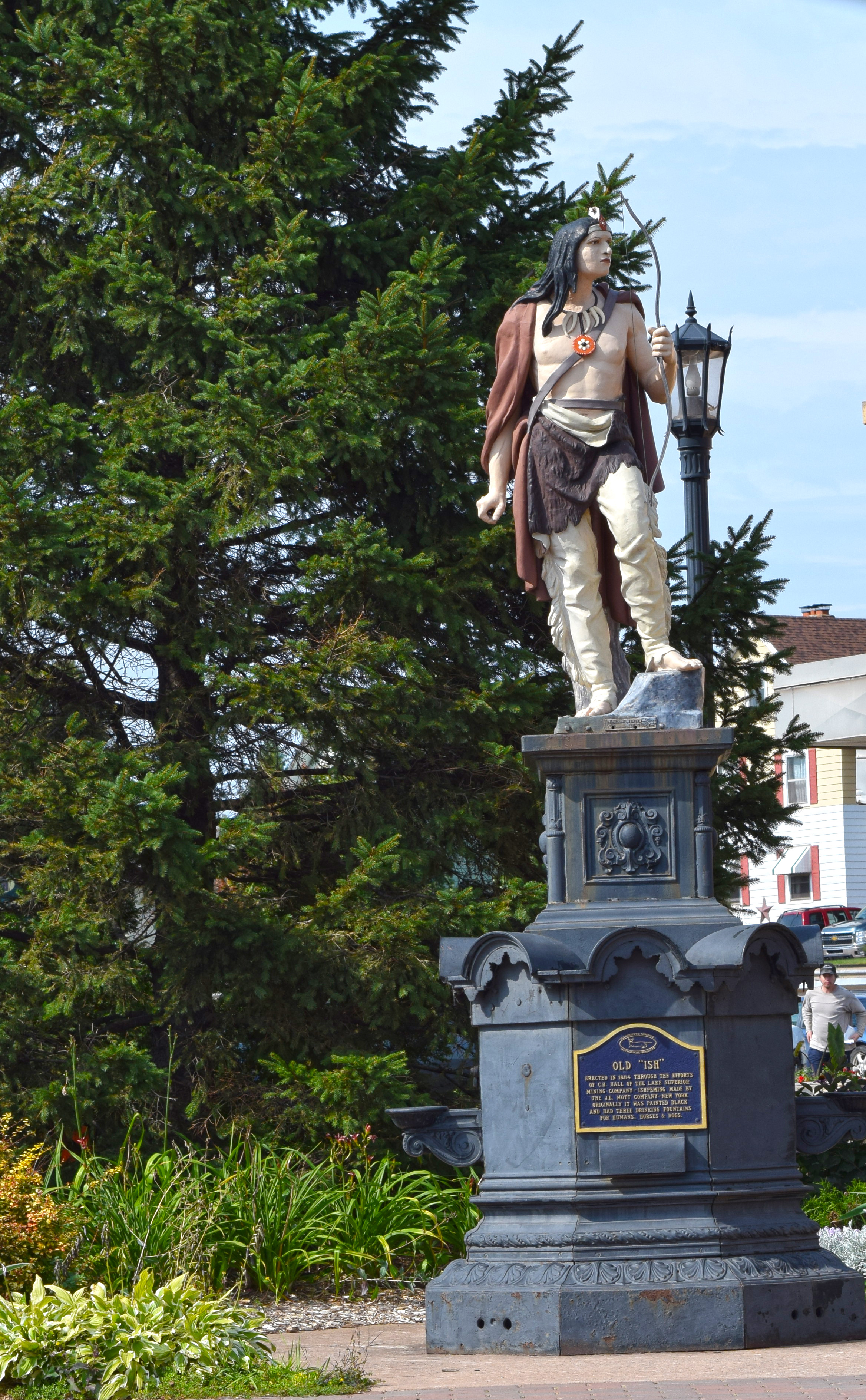
A View of the Old Ish Statue in Downtown Ishpeming Photo by Michigan Municipal League
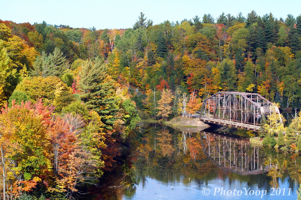
Old Span
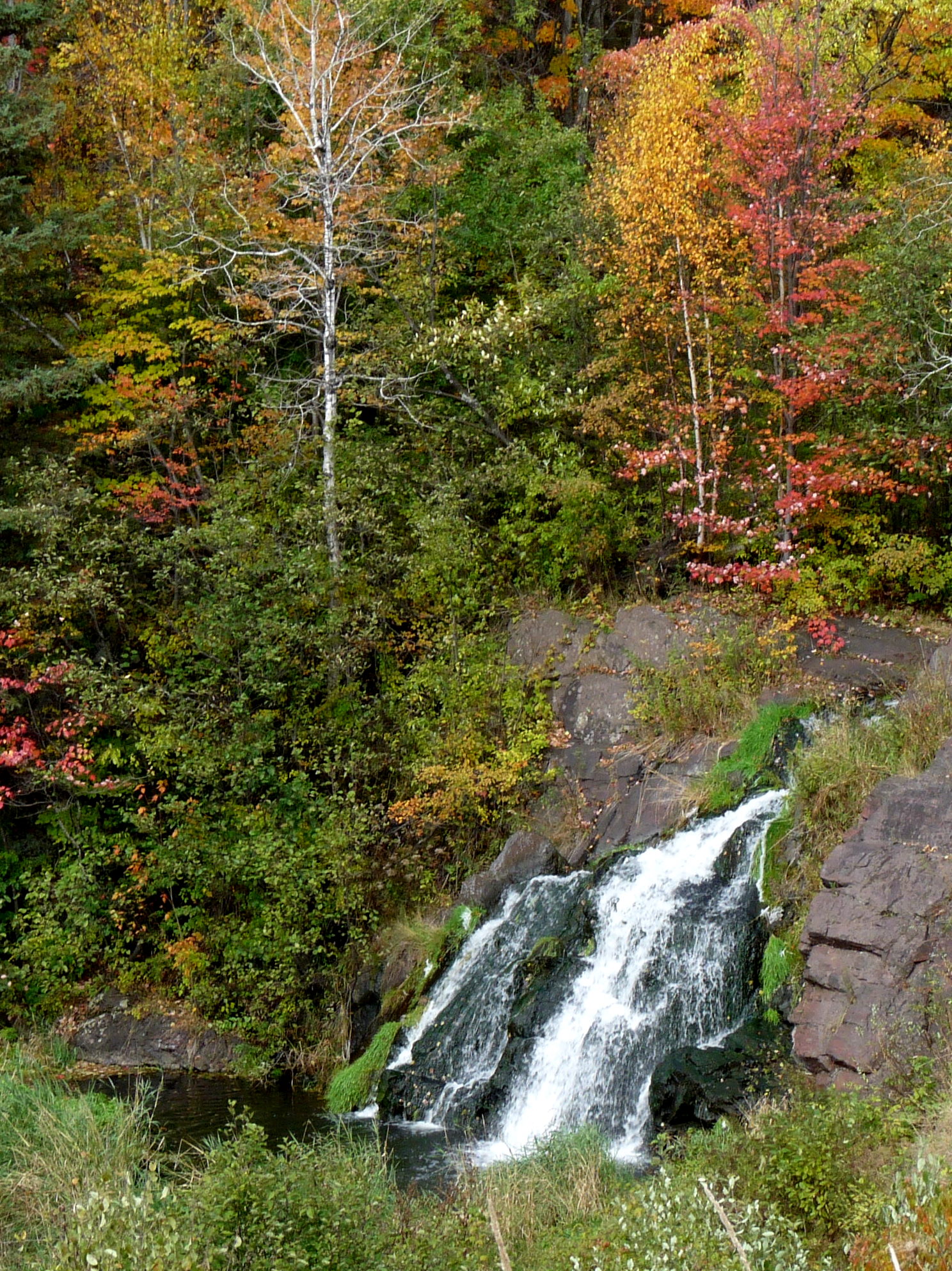
Warner Creek Falls
Carp river

Pure Moment

Teal Lake
Teal Lake

Steel Bridge from 510
Schweitzer Falls
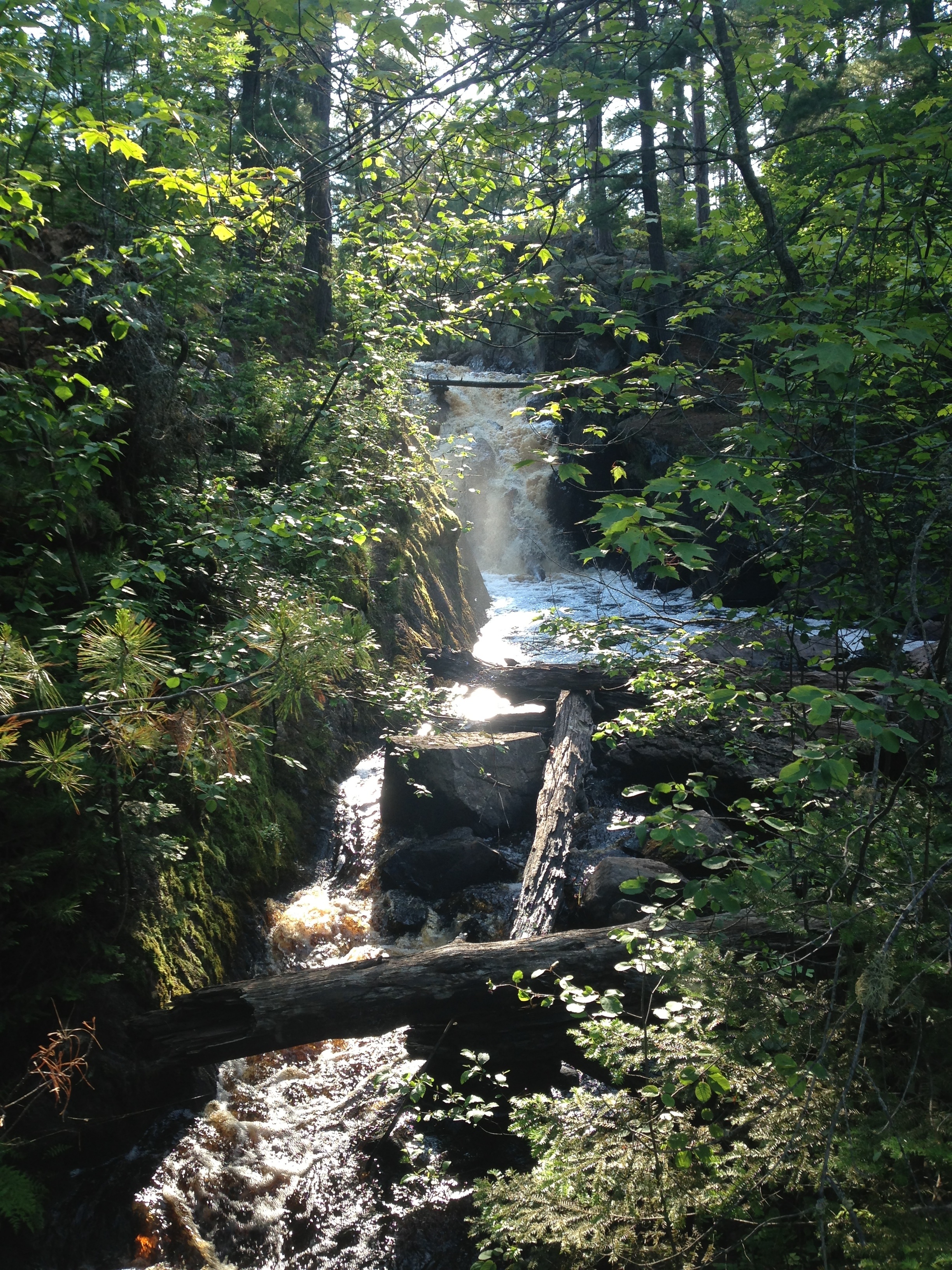
Black River Falls
MQ-33-Black River Falls
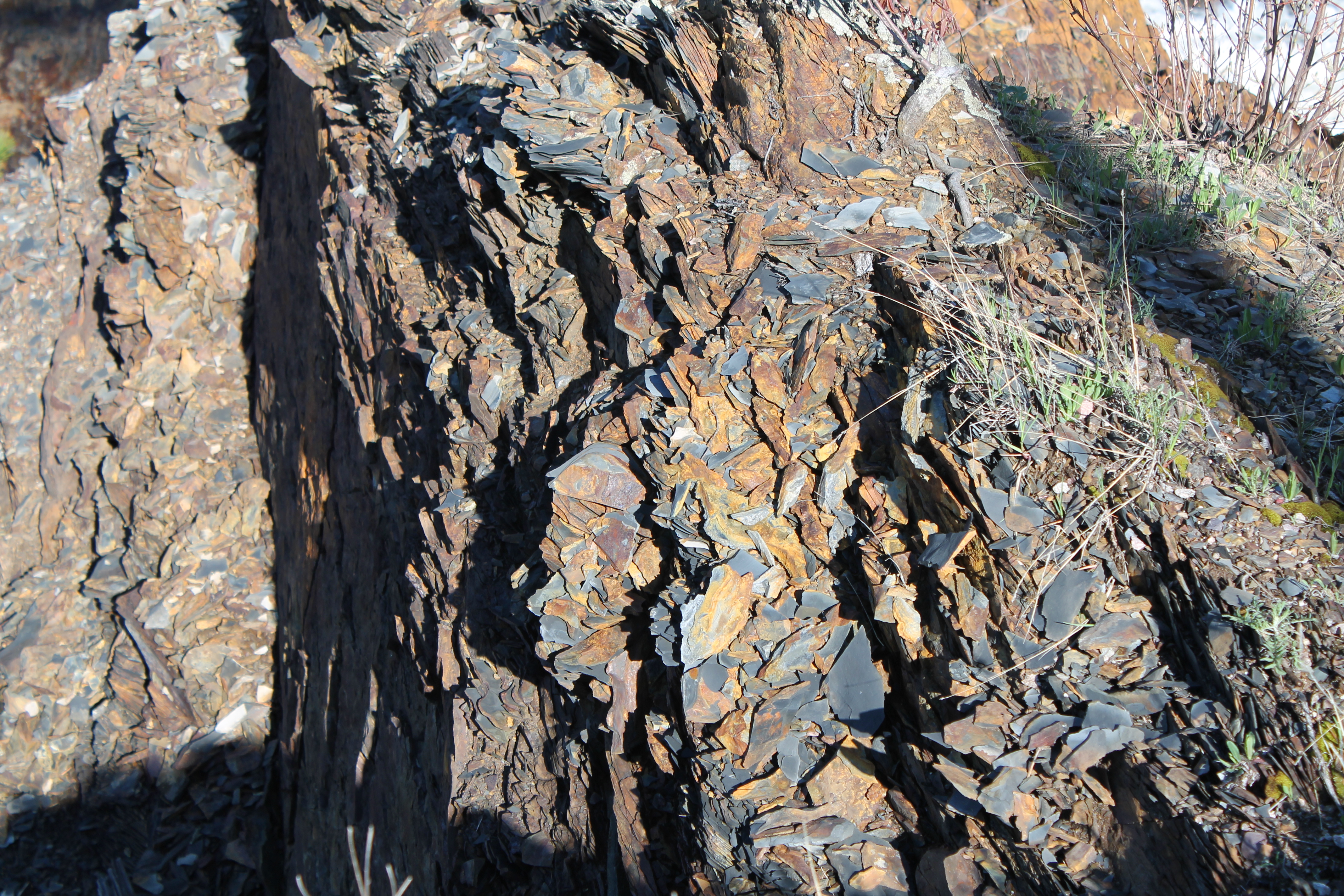
Rocks at hoist dam 2
One of the nation's biggest iron ore mines, turns out
werner falls in palmer, michigan

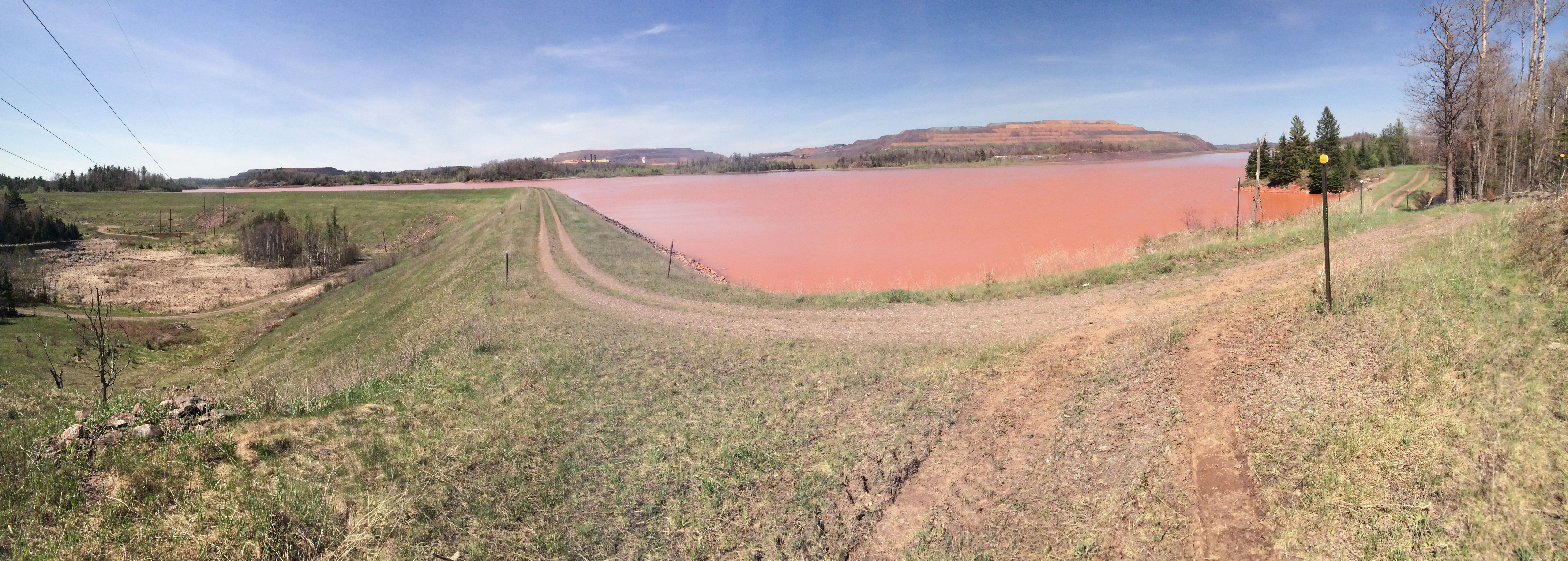
mine waste

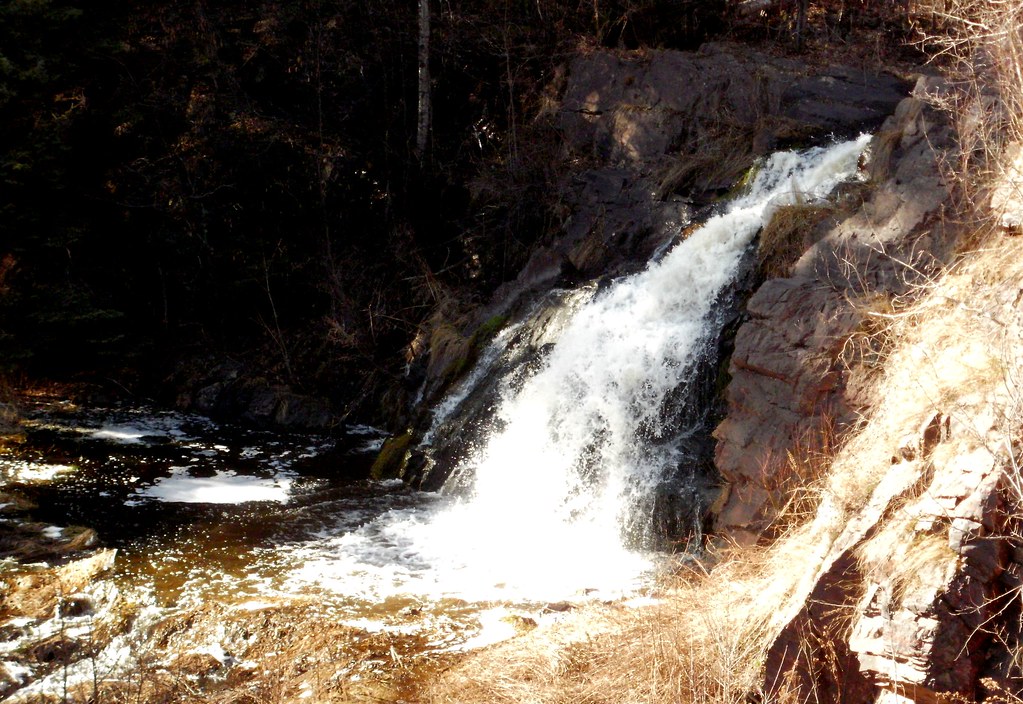
Warner Falls
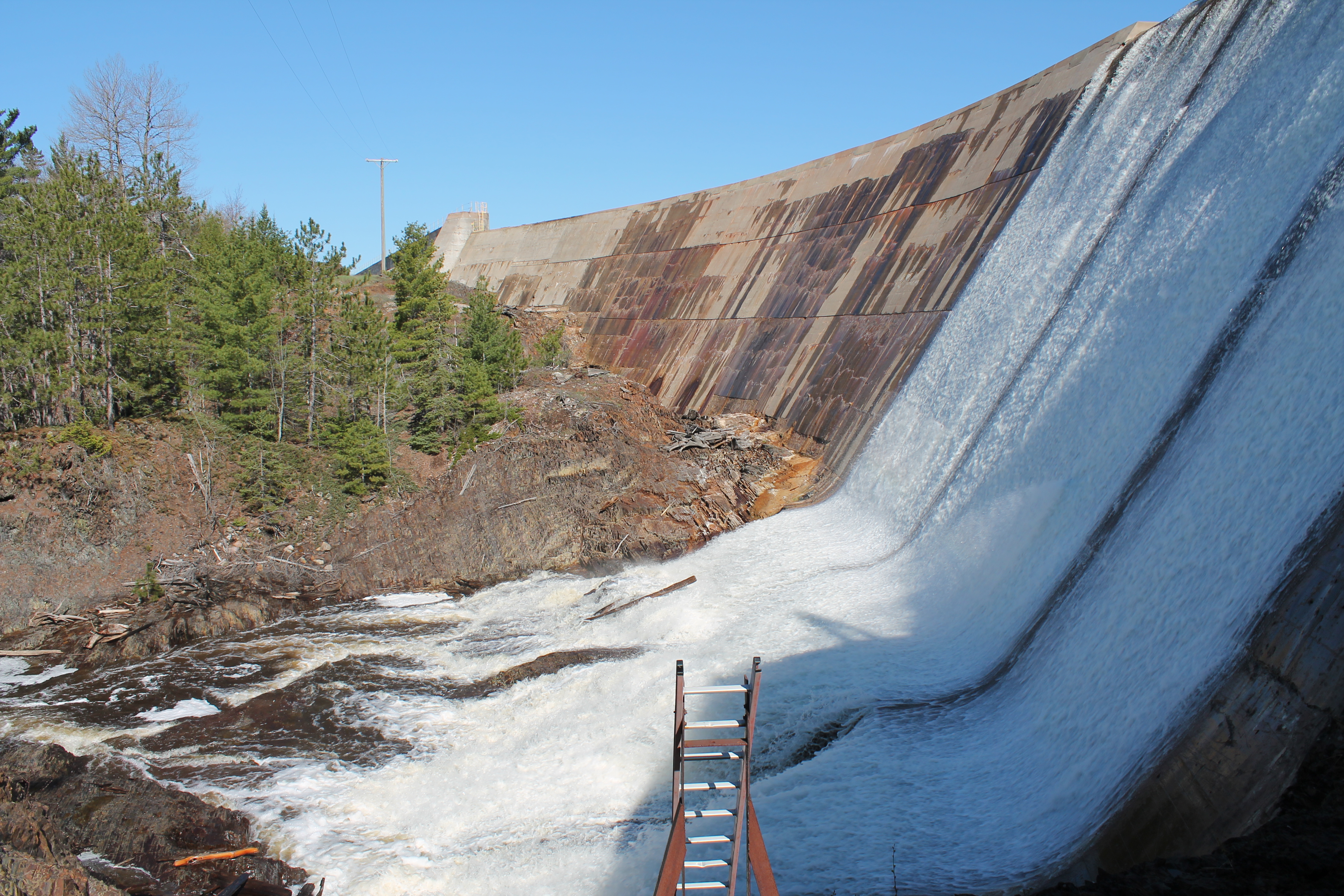
Spillway at Hoist dam.
Deer Lake
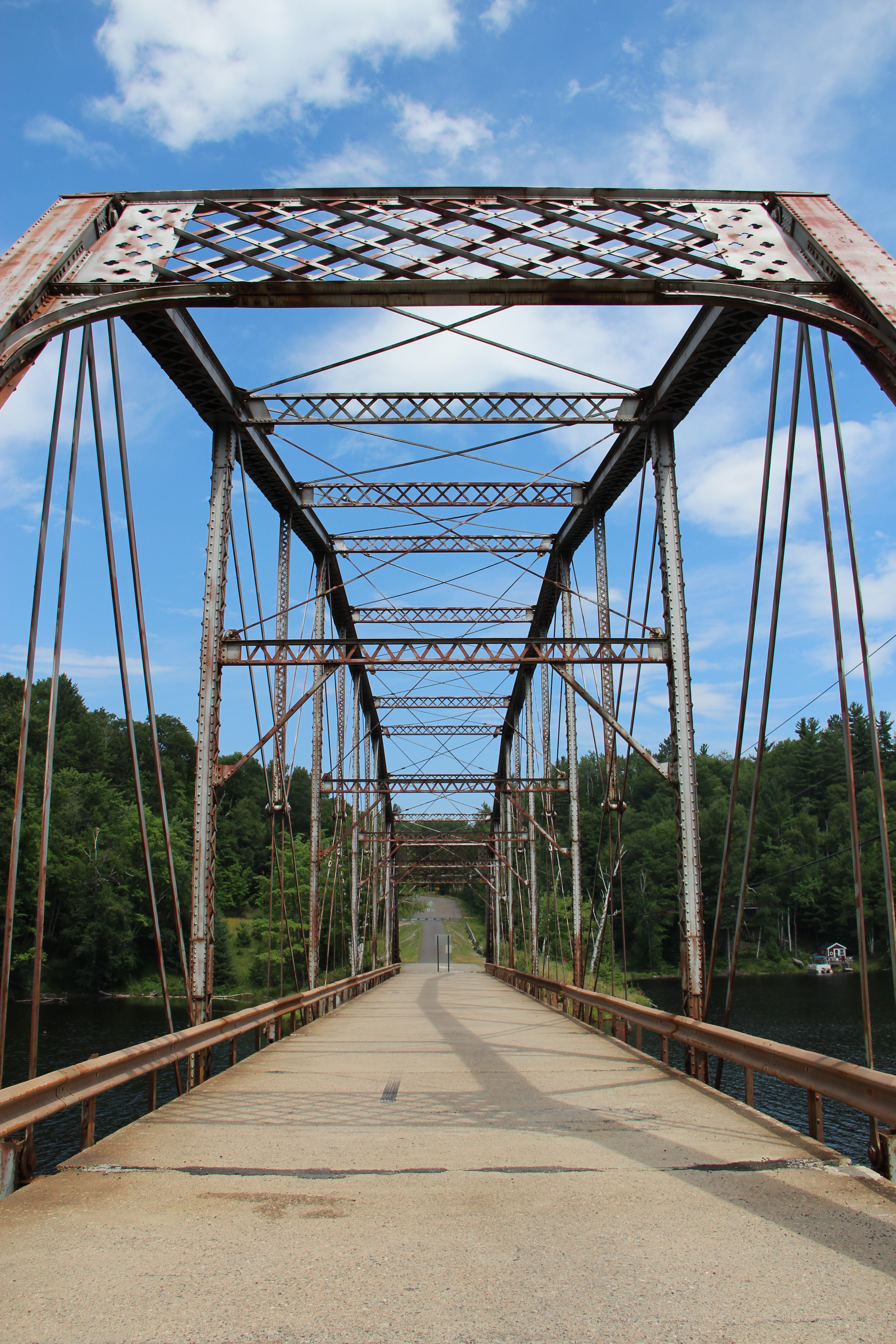
Old CR 510 Bridge
Teal Lake
Suddenly, Black Mesa appeared in the distance
Topographic Map of S Westwood Cir, Ishpeming, MI, USA
Find elevation by address:

Places near S Westwood Cir, Ishpeming, MI, USA:
West Ishpeming
County Road Pba
1000 Co Rd Pcc
Ishpeming
US-41, Ishpeming, MI, USA
15976 County Rd Cl
15976 County Rd Cl
15976 County Rd Cl
Brown Avenue & Mitchell Avenue
Negaunee
110 S Basin Dr
110 S Basin Dr
Carp River
138 Johnson Rd
Negaunee Township
34 Midway Dr
M-35, Negaunee, MI, USA
250 Carrie Rd
250 Co Rd Jjn
Marquette County
Recent Searches:
- Elevation of Tenjo, Cundinamarca, Colombia
- Elevation of Côte-des-Neiges, Montreal, QC H4A 3J6, Canada
- Elevation of Bobcat Dr, Helena, MT, USA
- Elevation of Zu den Ihlowbergen, Althüttendorf, Germany
- Elevation of Badaber, Peshawar, Khyber Pakhtunkhwa, Pakistan
- Elevation of SE Heron Loop, Lincoln City, OR, USA
- Elevation of Slanický ostrov, 01 Námestovo, Slovakia
- Elevation of Spaceport America, Co Rd A, Truth or Consequences, NM, USA
- Elevation of Warwick, RI, USA
- Elevation of Fern Rd, Whitmore, CA, USA