Elevation of S W, Hebron, IN, USA
Location: United States > Indiana > Porter County > Boone Township > Hebron >
Longitude: -87.161875
Latitude: 41.3977622
Elevation: 230m / 755feet
Barometric Pressure: 99KPa
Elevation Map:
Satellite Map:
Related Photos:
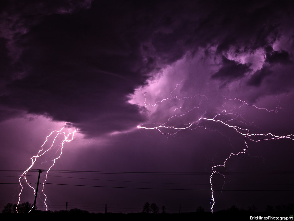
Indiana Lightning Storm - March 20, 2011
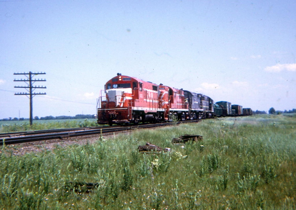
The Panhandle WAS Busy Once Pt. 2

2011-10-02 18.03.43

Garden viewing.

Broadway/Capital Ltd. Station Stop- Valparaiso, Indiana

Wolf House
2011-10-02 17.41.09
"She's A Beaut, Clark!"
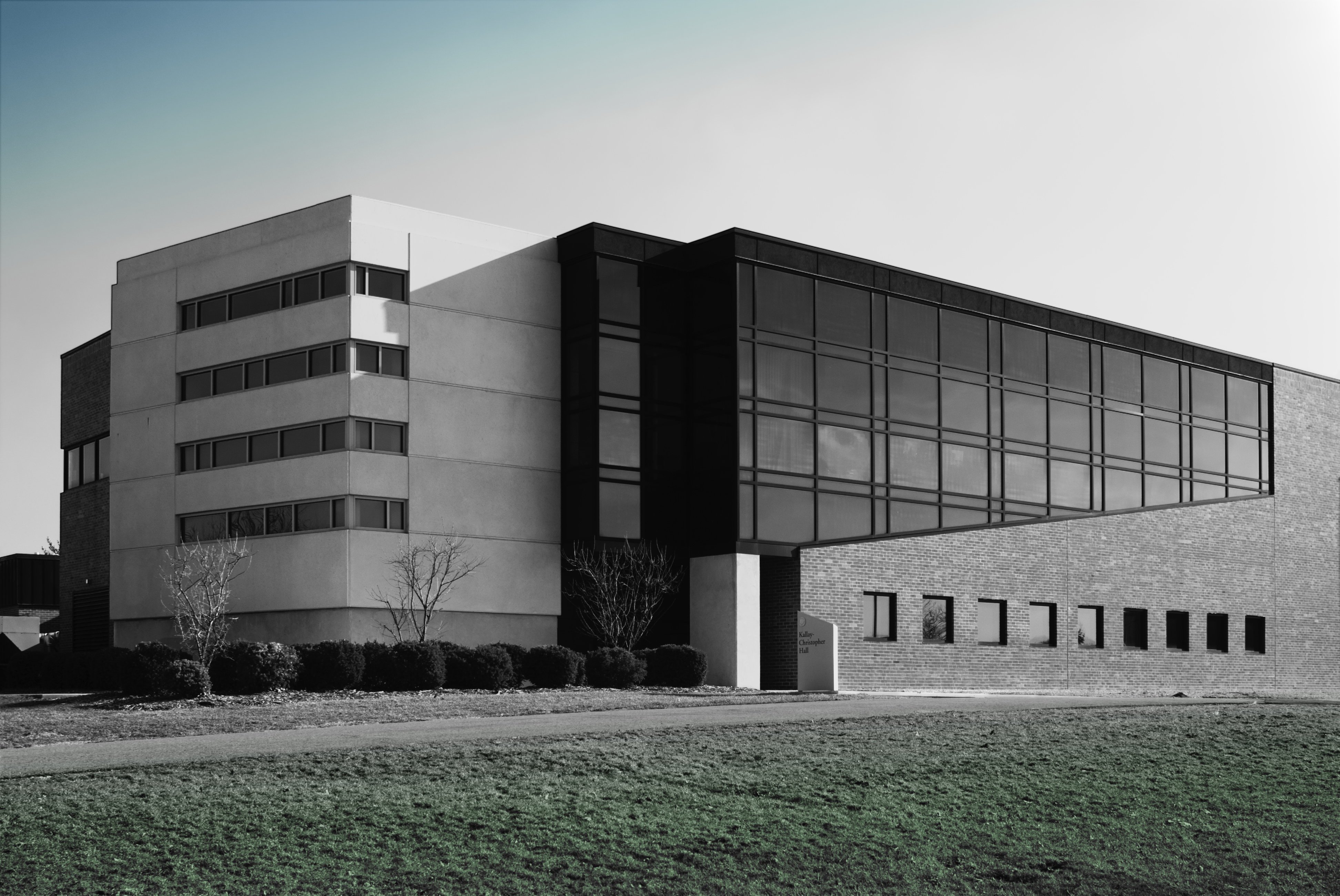
Kallay-Christopher Hall

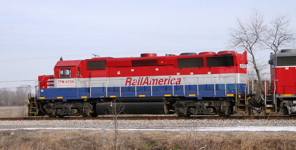
Not Running Wrong Main

A Gray Morning At M.P. 49

20120117 Law School Cafe 4.jpg

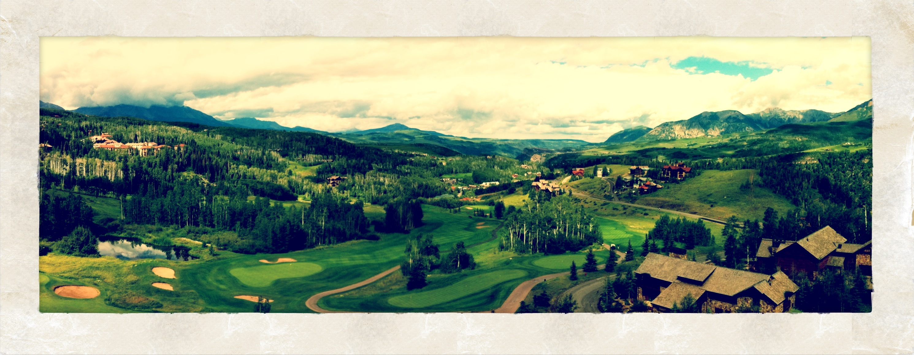
VUCA Panorama

The Storm Approaches
A Morning View

Kitchen Lore Chair

20120117 Law School Cafe 3.jpg
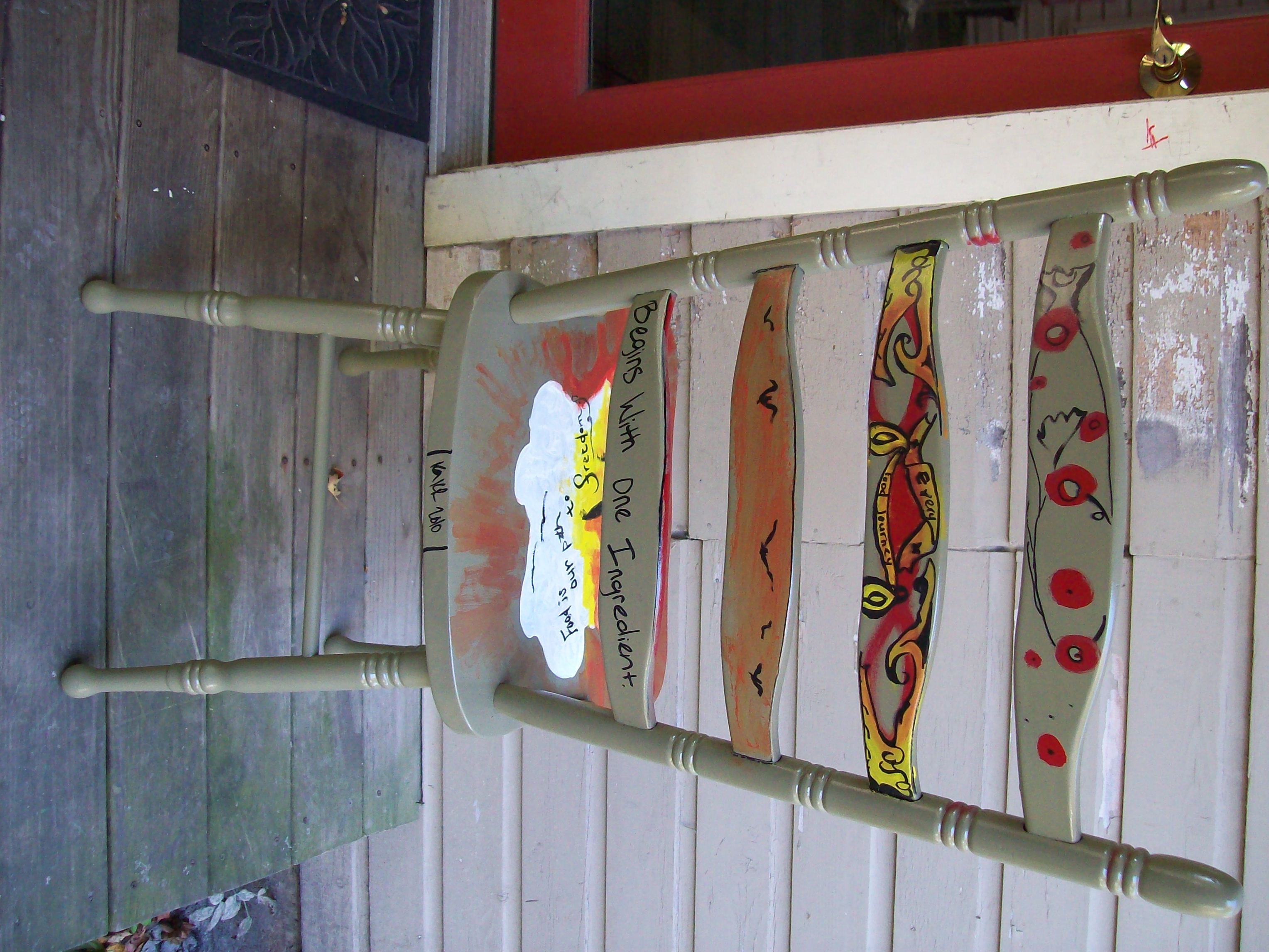
Kitchen Lore Chair - Rear View

20120117 Law School Cafe 5.jpg
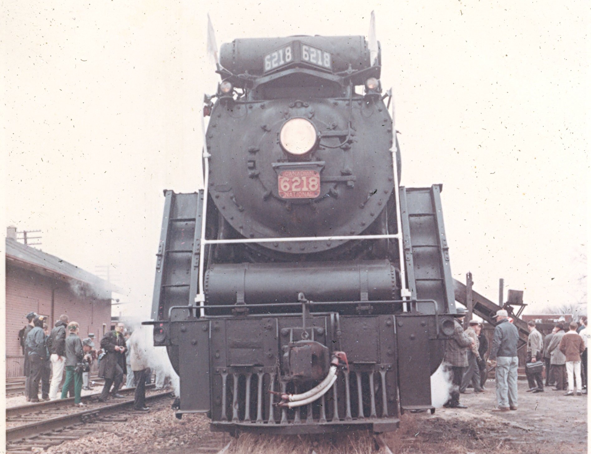
CN 6218 11/66

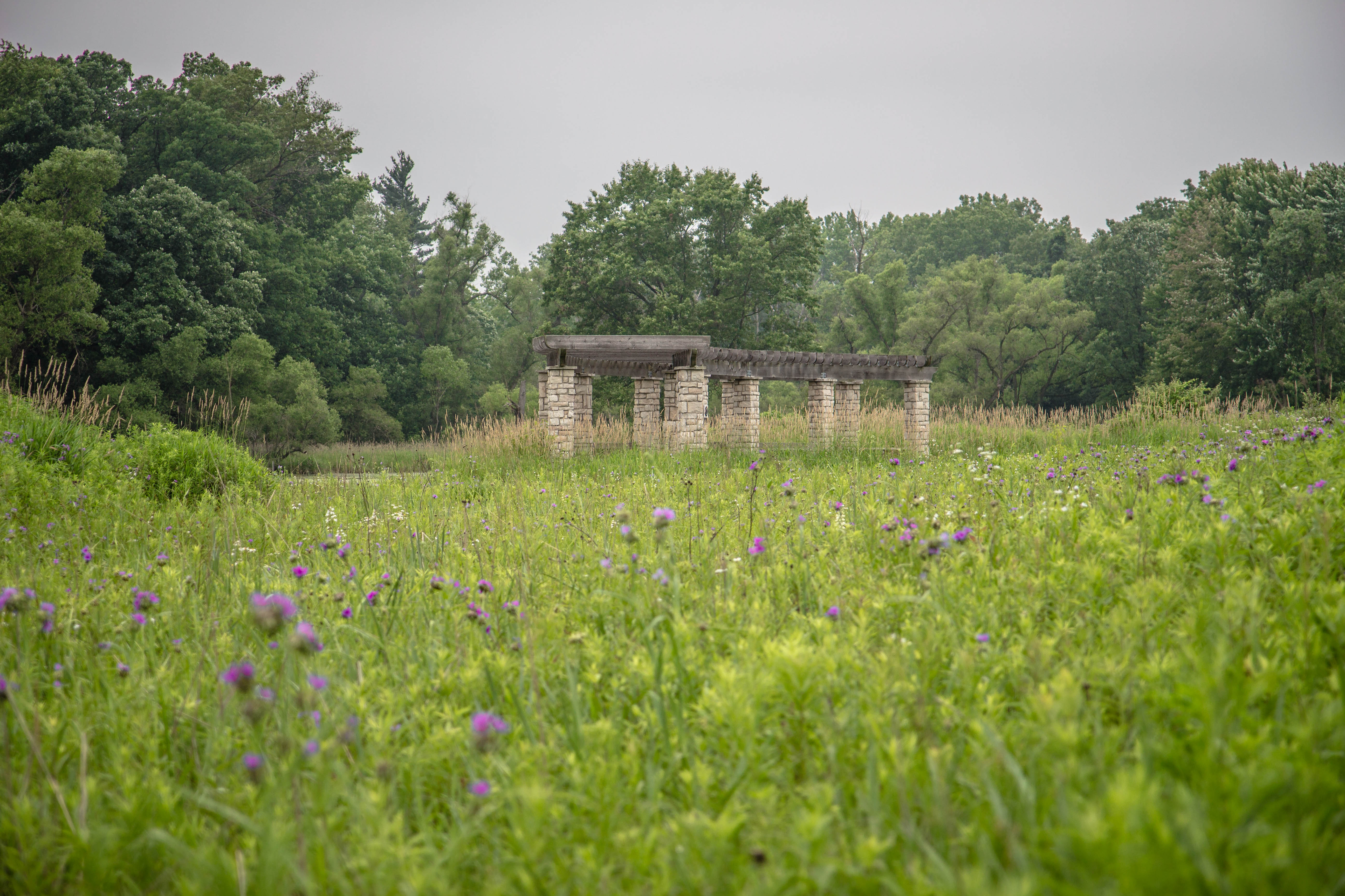
Pennsy Remnants
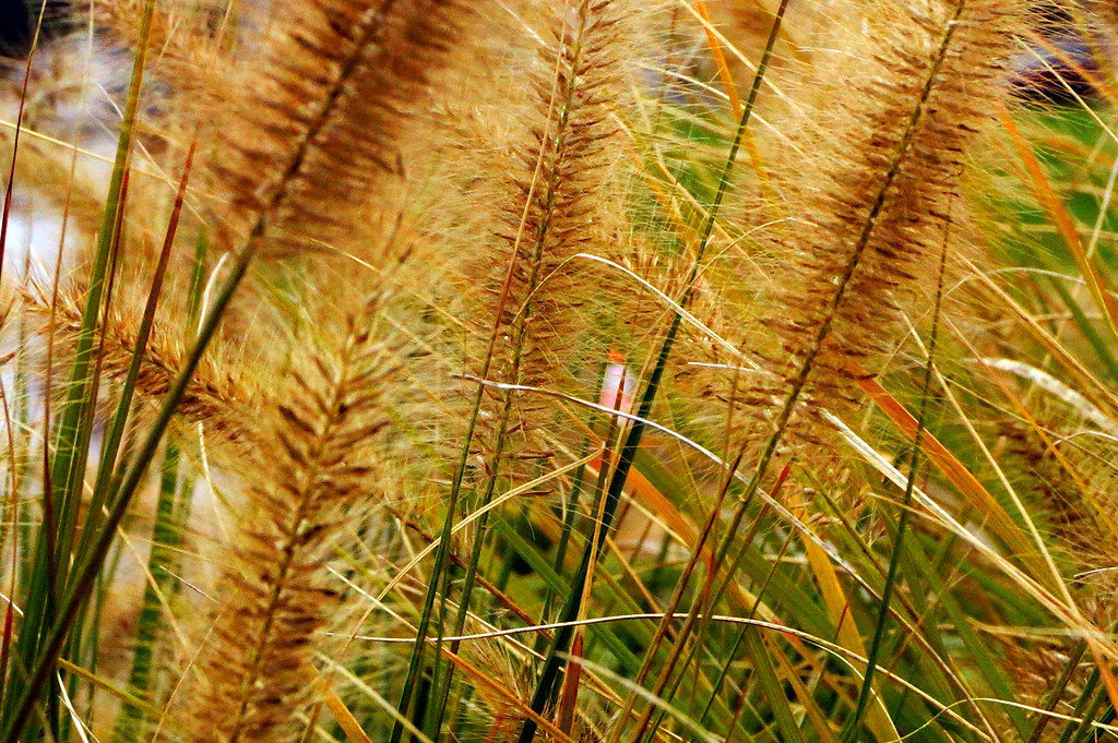
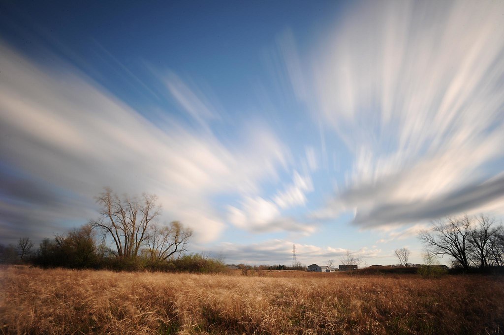
Autumn Grass

The camera on this phone doesn't do the sunset justice.

Butterfly Ogden Gardens Valparaiso
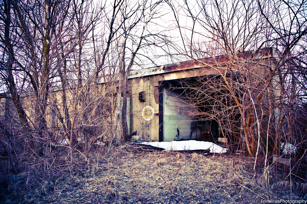
Nike Missile Site C-47L Fallout Shelter. Wheeler, Indiana

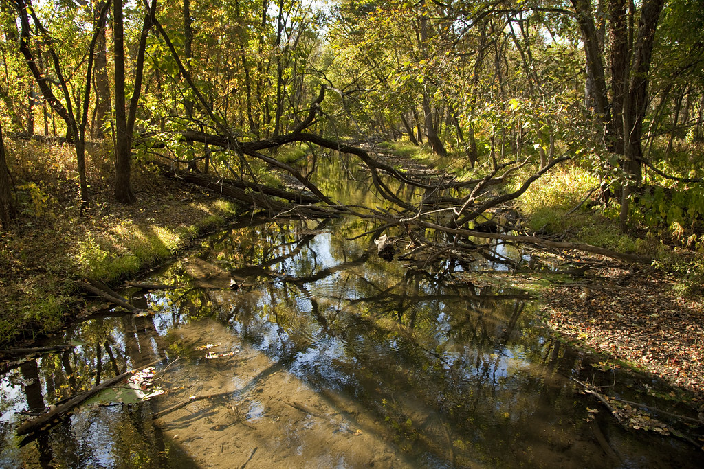
Deep River Park

taltree. june 2015
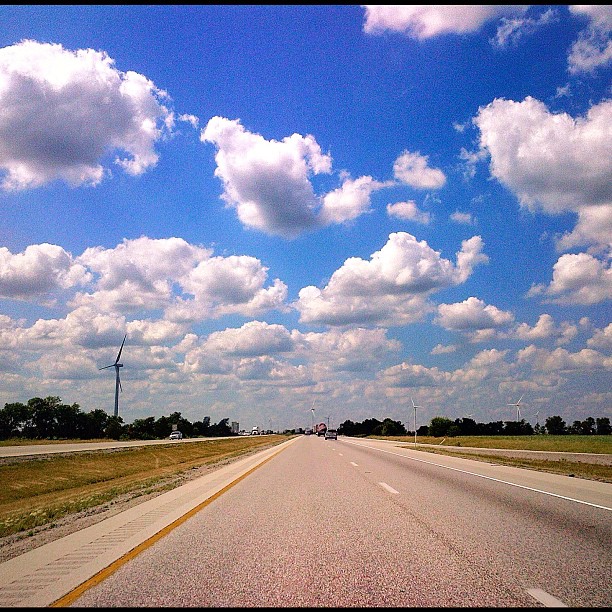
Took this picture on my way to #Indianapolis a while ago. Anyone familiar with that road knows I'm in West Lafayette (home to #Purdue University) easily identified by the #Windmills. Picture taken with my phone: #bb9900 Edited on #Snapseed (loving this Ap
Hodson Farm
taltree. indiana. june 2015
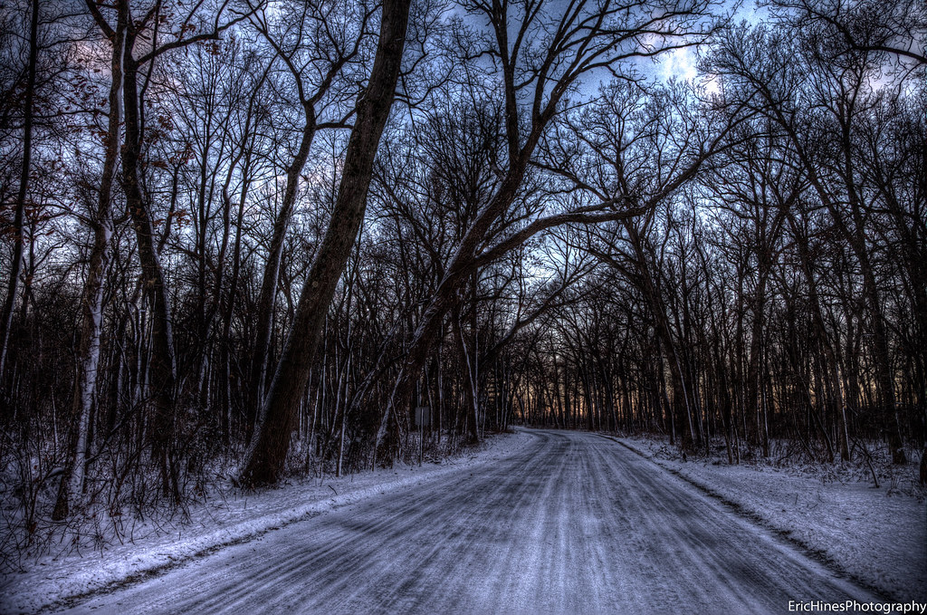
Winding Winter Road
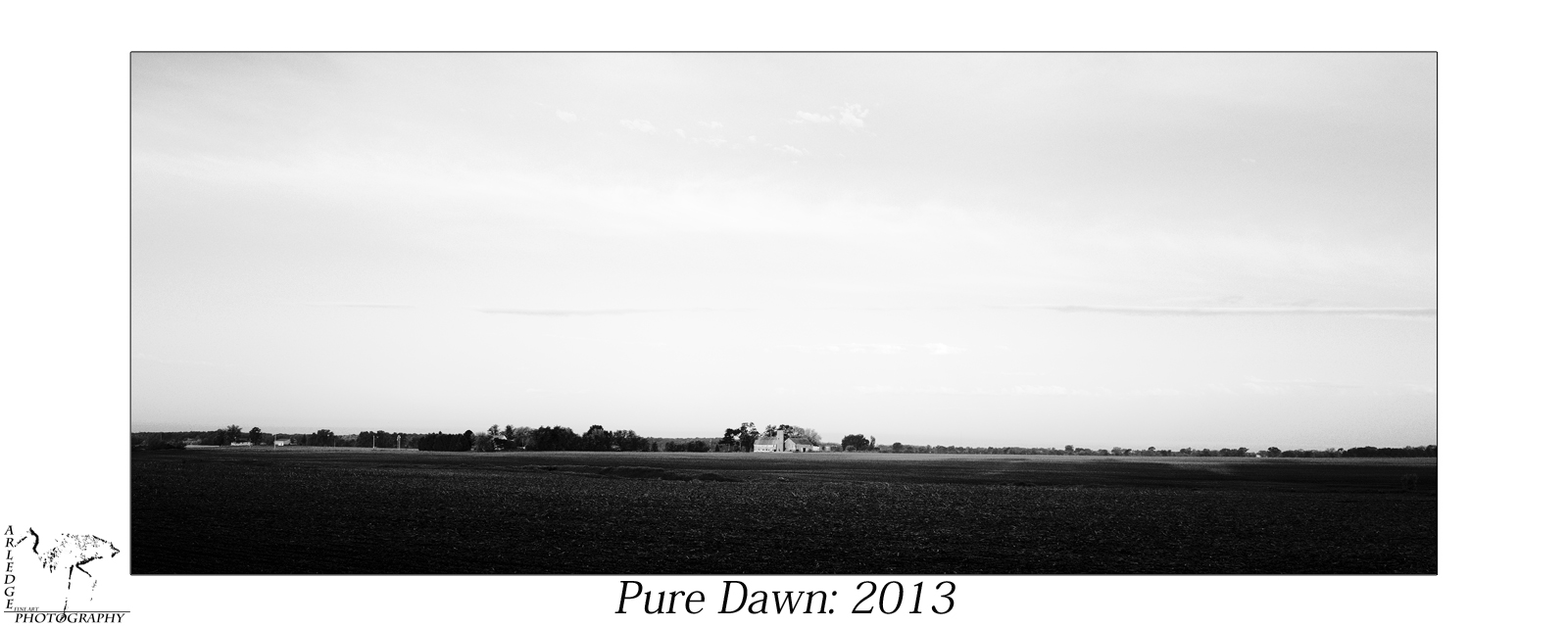
Pure Dawn 2013

20120212 Winter Scenes 5.jpg
hills!
Somewhere Only We Know

The corn just won't stop! And look at that sky.

20120212 Winter Scenes 2.jpg
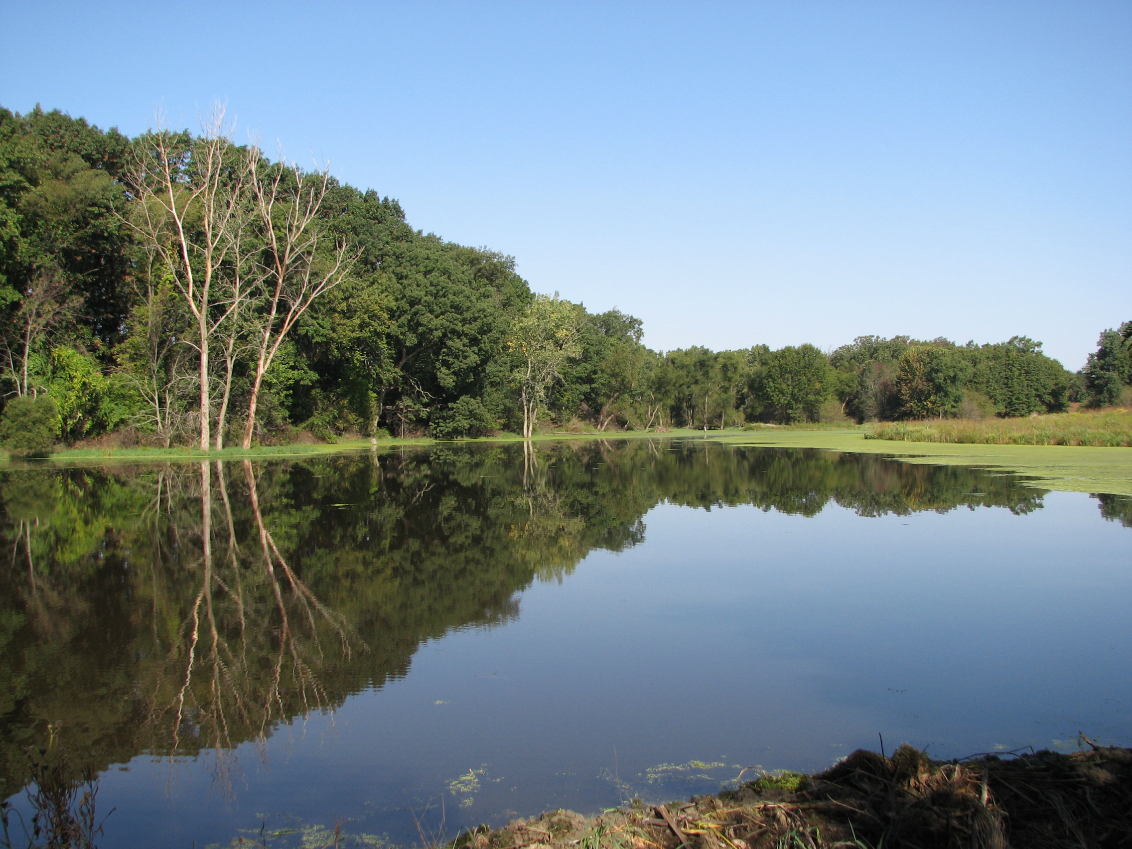
Image of Pond

Country sunset

country sunset
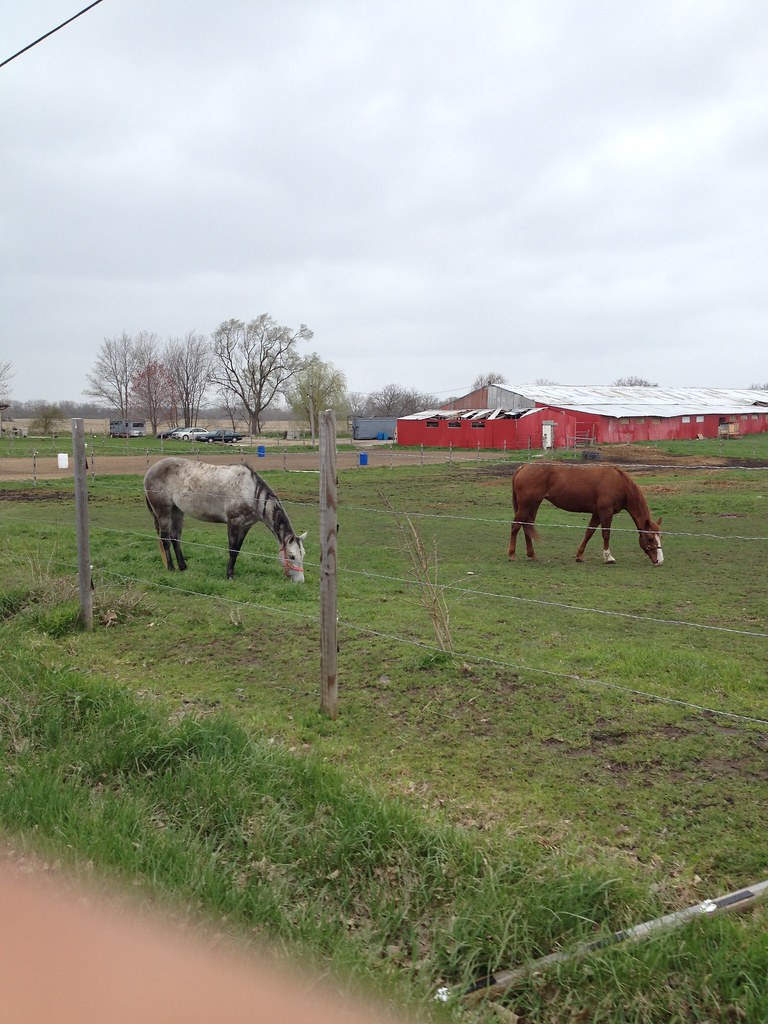
Horses Feeding
Topographic Map of S W, Hebron, IN, USA
Find elevation by address:

Places near S W, Hebron, IN, USA:
Porter Township
68 Goldenrod Dr
43 Lourdes St, Hebron, IN, USA
314 W Division Rd
20 In-2
20 In-2
IN-2, Valparaiso, IN, USA
Shorewood Forest
472 Scarborough Rd
Union Township
749 Belford Rd
156 Carrington Cir
Lincoln Hills Dr, Valparaiso, IN, USA
Timothy Road, Valparaiso, IN, USA
Center Township
Lawndale Dr, Valparaiso, IN, USA
Valparaiso
794 S Baums Bridge Rd
503 N Garfield St
IN-49, Valparaiso, IN, USA
Recent Searches:
- Elevation of Congressional Dr, Stevensville, MD, USA
- Elevation of Bellview Rd, McLean, VA, USA
- Elevation of Stage Island Rd, Chatham, MA, USA
- Elevation of Shibuya Scramble Crossing, 21 Udagawacho, Shibuya City, Tokyo -, Japan
- Elevation of Jadagoniai, Kaunas District Municipality, Lithuania
- Elevation of Pagonija rock, Kranto 7-oji g. 8"N, Kaunas, Lithuania
- Elevation of Co Rd 87, Jamestown, CO, USA
- Elevation of Tenjo, Cundinamarca, Colombia
- Elevation of Côte-des-Neiges, Montreal, QC H4A 3J6, Canada
- Elevation of Bobcat Dr, Helena, MT, USA