Elevation of S th St, Kent, WA, USA
Location: United States > Washington > King County > Kent >
Longitude: -122.25418
Latitude: 47.4325485
Elevation: 9m / 30feet
Barometric Pressure: 101KPa
Elevation Map:
Satellite Map:
Related Photos:

Dew (Explored)

Puget Sound Cloudscape

Dog's Point of View

Rocky Shoreline

Millpond Desires

Swept Away

Northwest DC-10 at SEA
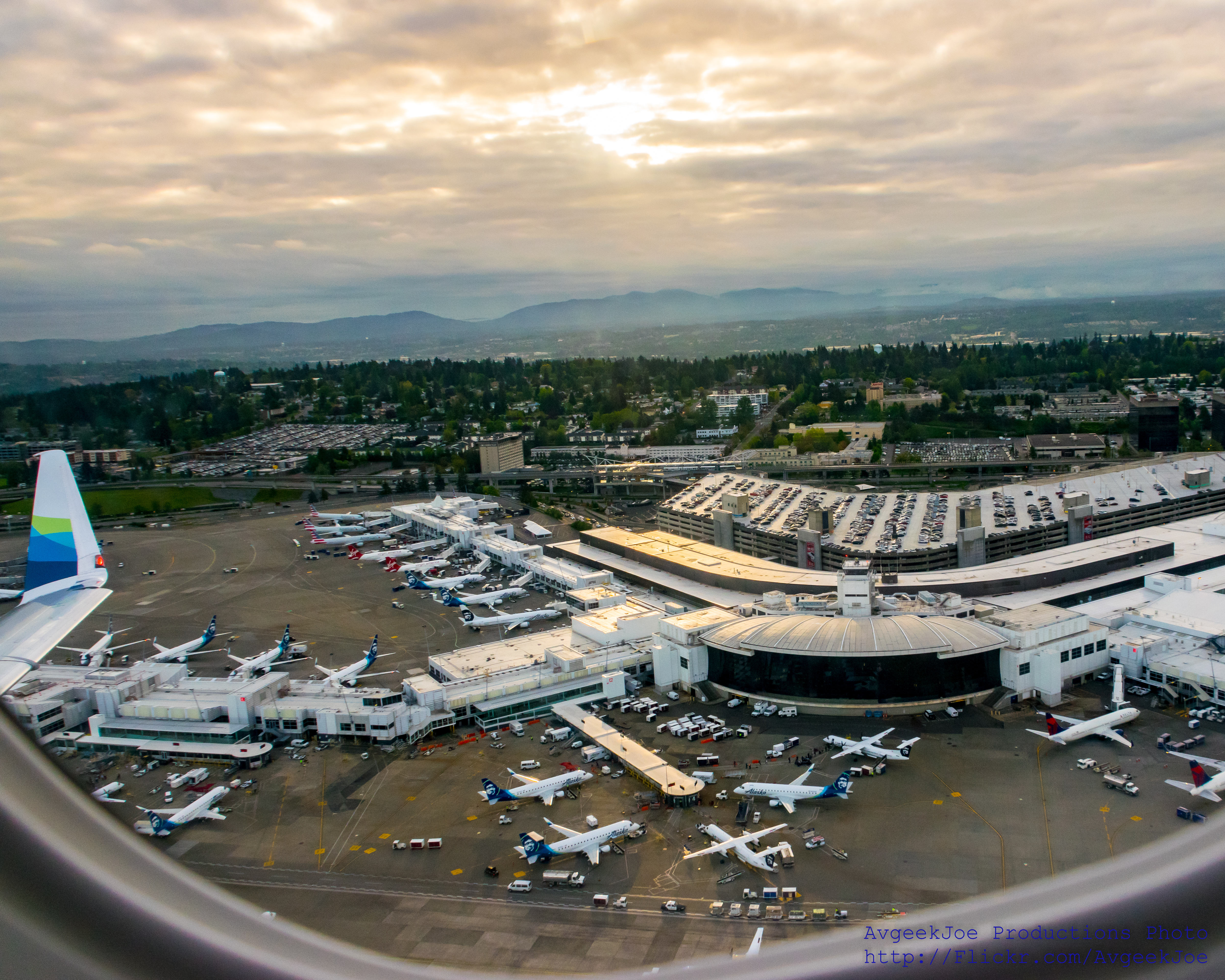
SEA-TAC (KSEA) UNDER THE WING... #IFlyAlaska
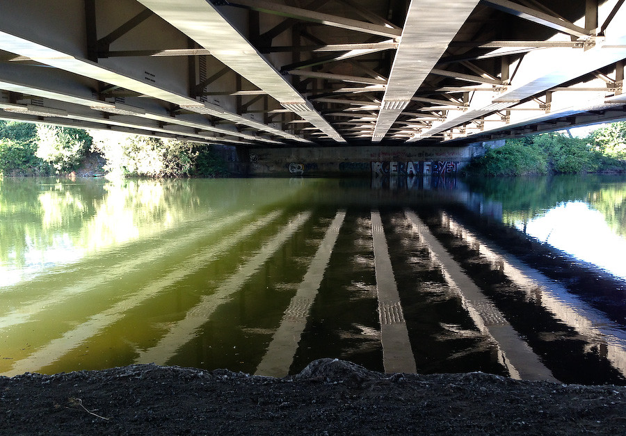
Duwamish River under Tukwila International Boulevard....20130725_0268
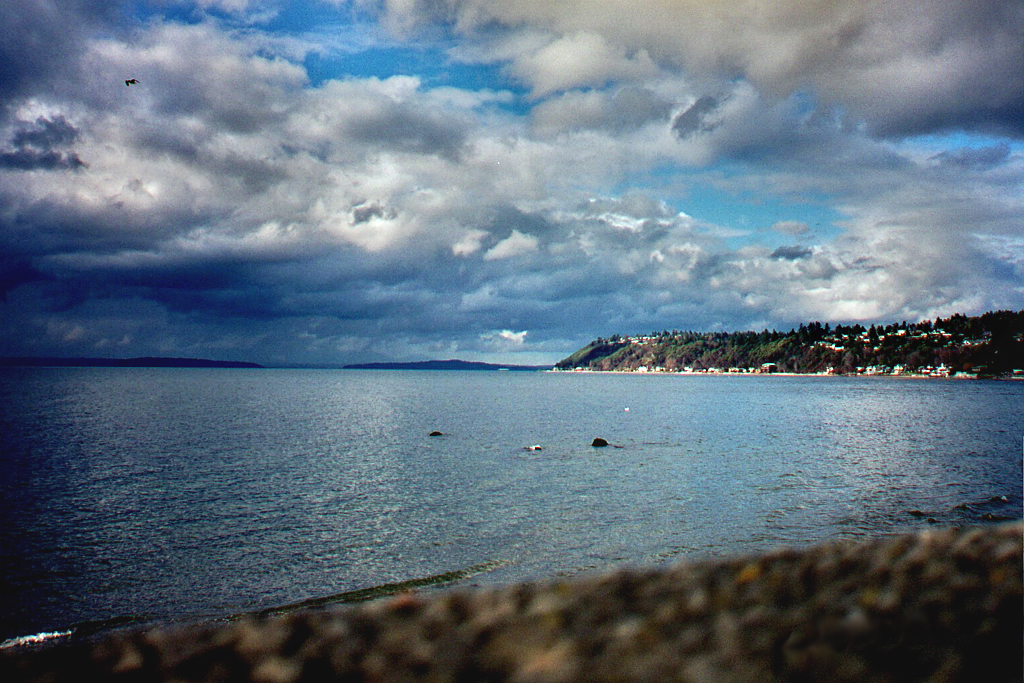
Puget Sound from Seahurst Park

Sea-Tac Airport's Exquisite Central Terminal
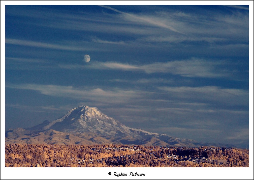
Moonrise over Mount Rainier
Marine View Park1
Moonrise over Mount Rainier, v.2

A different view of A6-FEJ
Popcorn Tree

Miss Bug

Its Past Makes Its Present So Interesting

Pocket Park on Marine View Dr.
view from the top of hill

Distant View of Heart Bridge

Maple Overlooking a Pond

Olympic Sunset
Sunset Glow

I am sailing, I am sailing, home again 'cross the sea. I am sailing, stormy waters, to be near you, to be free.
a place to still all time
Almost Touching The Sky

embracing the sun...
step right through

Yellow Is Nice, Too

Coal Creek Falls
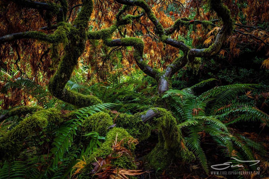
Japanese Maple at Kubota Garden, Seattle, WA #KubotaGarden #Erglisphotography #Maple #autumn #green #seattle #canonusa #5dsr #forevergreen

Finding my way

Over the Hills

I'm Sad to Go
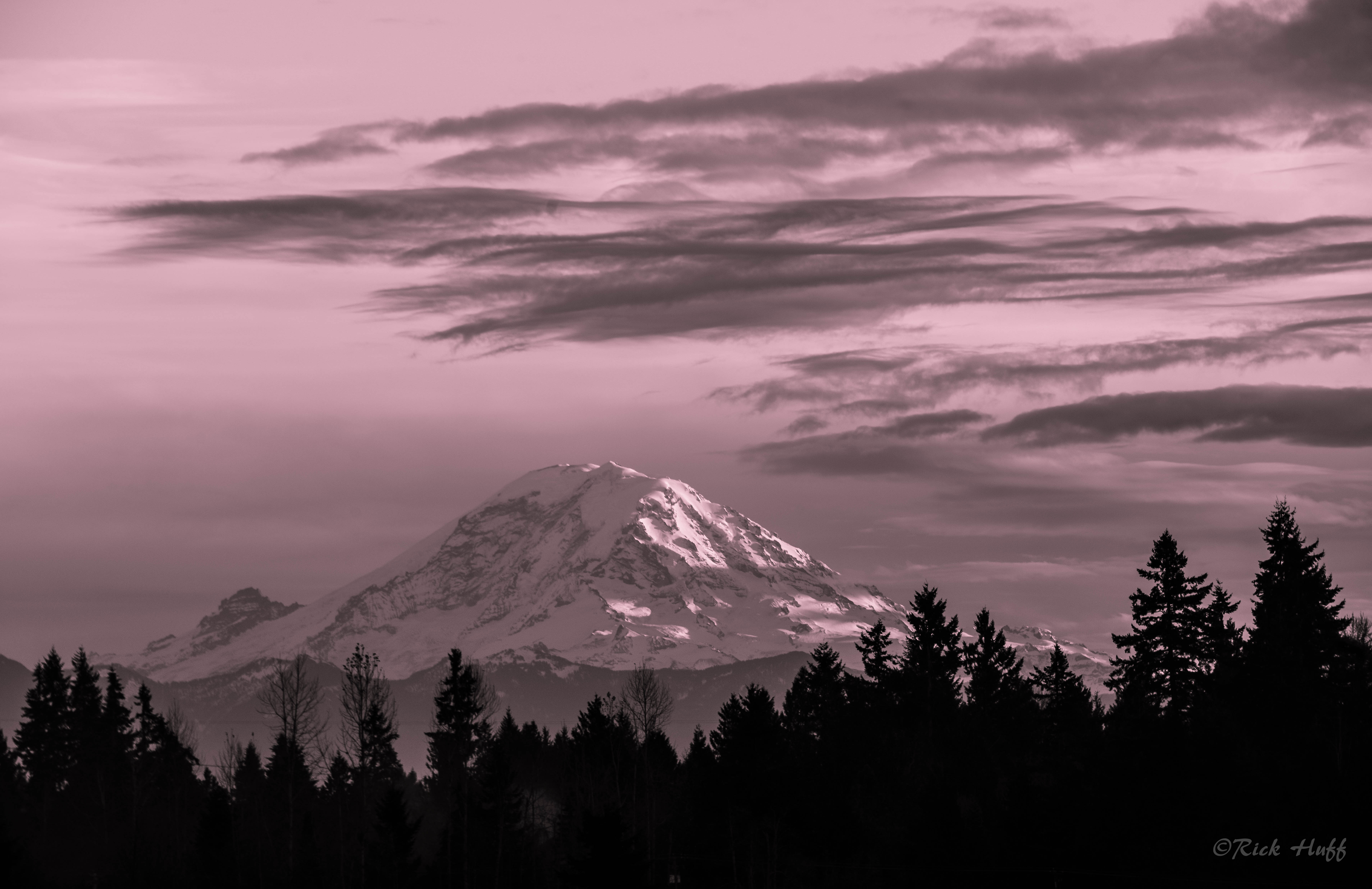
Mt. Rainier

It's kinda pretty up here
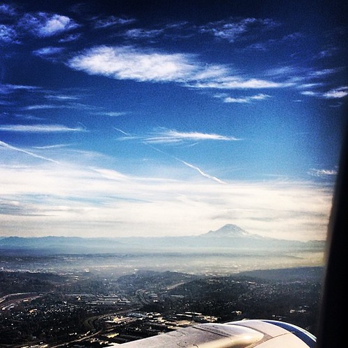
Mt. Rainier in the distance...
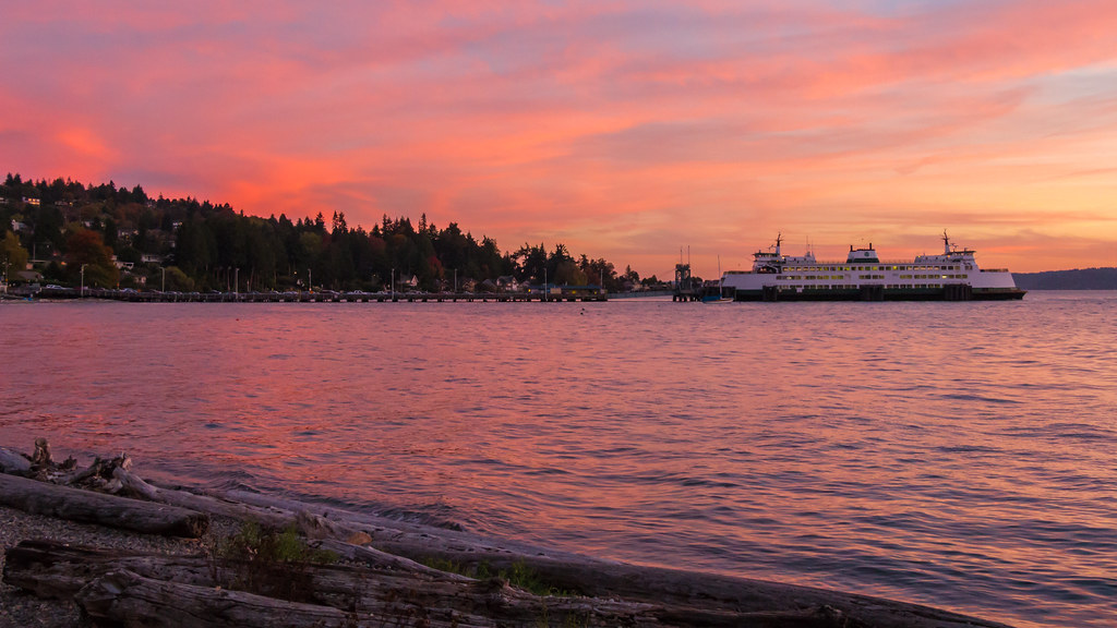
A Ferry Colourful Evening

Hicks Lake

Lincoln Park Stroll
Topographic Map of S th St, Kent, WA, USA
Find elevation by address:

Places near S th St, Kent, WA, USA:
Con Agra Foods Inc
5920 S 194th St
7032 S 196th St
20015 72nd Ave S
600 Minkler Blvd
Centerpoint Corporate Park
5801 S 212th St
21409 72nd Ave S
16453 53rd Pl S
5201 S 164th St
16201 W Valley Hwy
Blue Origin
22023 68th Ave S
Simpson Strong-tie Company
3864 S 177th St
18317 38th Ave S
3719 S 194th St
Seattle, WA, USA
4240 S 166th St
6750 S 228th St
Recent Searches:
- Elevation of W Granada St, Tampa, FL, USA
- Elevation of Pykes Down, Ivybridge PL21 0BY, UK
- Elevation of Jalan Senandin, Lutong, Miri, Sarawak, Malaysia
- Elevation of Bilohirs'k
- Elevation of 30 Oak Lawn Dr, Barkhamsted, CT, USA
- Elevation of Luther Road, Luther Rd, Auburn, CA, USA
- Elevation of Unnamed Road, Respublika Severnaya Osetiya — Alaniya, Russia
- Elevation of Verkhny Fiagdon, North Ossetia–Alania Republic, Russia
- Elevation of F. Viola Hiway, San Rafael, Bulacan, Philippines
- Elevation of Herbage Dr, Gulfport, MS, USA