Elevation of S, South Jordan, UT, USA
Location: United States > Utah > Salt Lake County > South Jordan > Harvest Village >
Longitude: -111.97557
Latitude: 40.559958
Elevation: 1417m / 4649feet
Barometric Pressure: 85KPa
Elevation Map:
Satellite Map:
Related Photos:

Majestic Draper Temple at Blue Hour
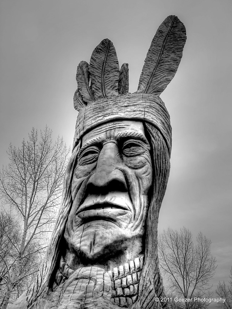
Chief Wasatch In Murray Park

23/365 Into the Darkness: Walking
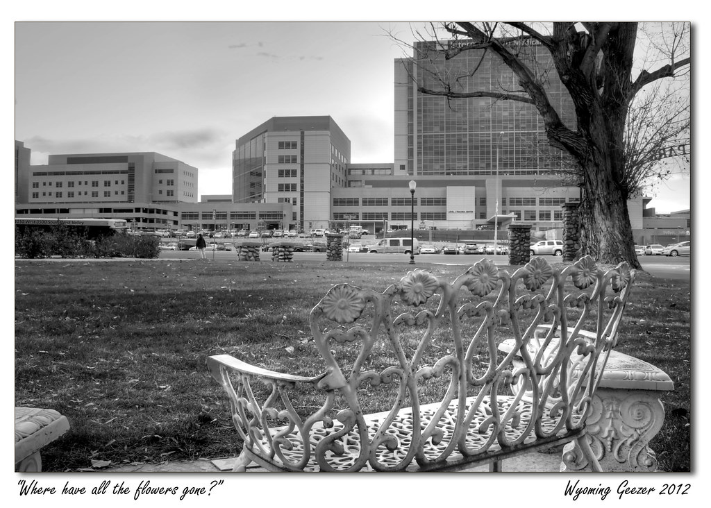
Where have all the flowers gone?

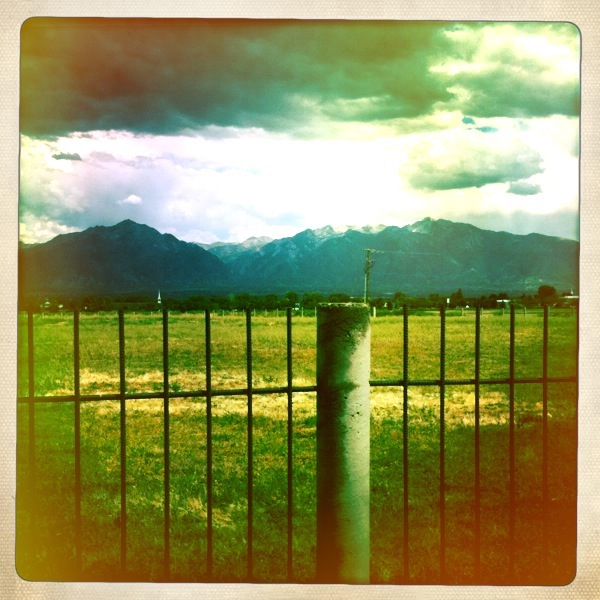
After the storm

Jesus Carrying the Cross
back porch view 4
Salt Lake City
back porch view

Rio Tinto Stadium Panorama
Typical American Home

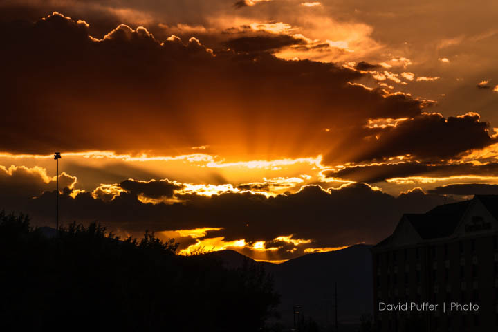
Draper Temple at Sunset
Fields For Furrows

Natacha and Rudolph
Dissociation Station
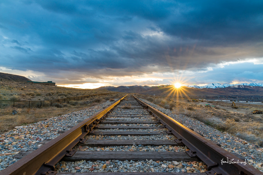
Touching Down

Spotter: "Over, 5 right." FCO: "Left 20, drop 50, fire for effect!" [Explored]

Balloon Tour - Butterfly Garden
Wasatch mountains

Draper Utah Temple, Aged

View up the Mouth of LIttle Cottonwood Canyon

Salted Path
Lower Bell Canyon Reservoir

LDS Temple Spire

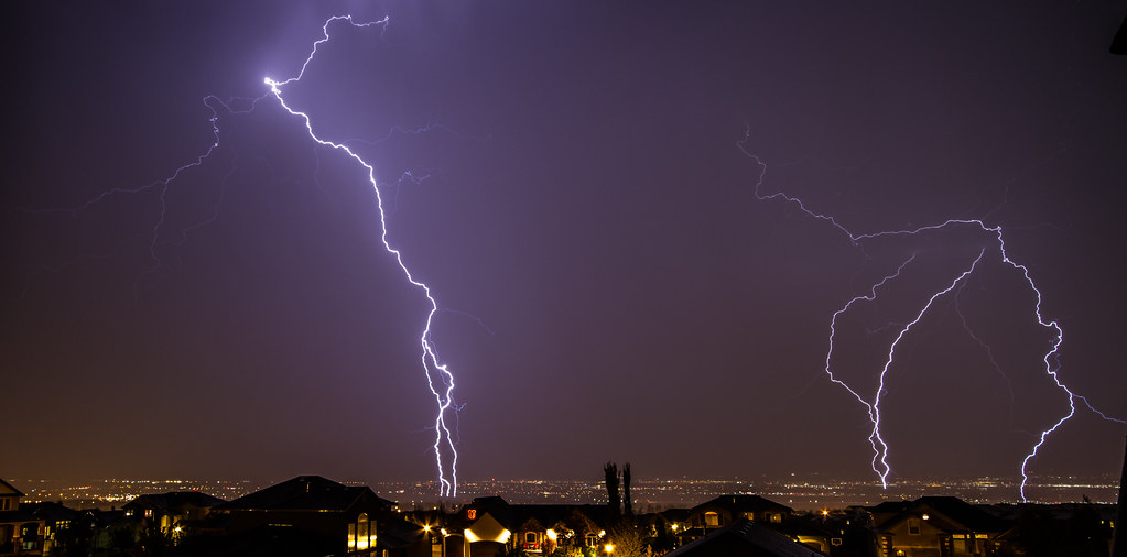
Lightning storm

2010-07-27-09-02-00-891 copy 1

Summer Glow Girl
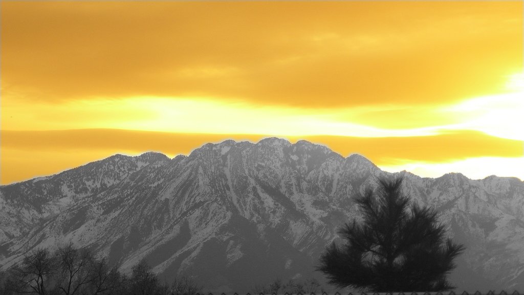
Photo # 12 (edited)
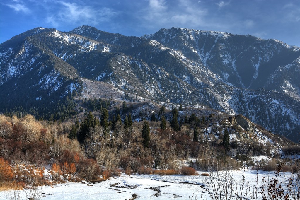
Bell Canyon
Herriman Highway
20150127-_JBS8307

Pieces Of My Shattered Mirror
Draper-West

the Fog goes on
20150203-_JBS8454.jpg

Sunset Over Tall Grass
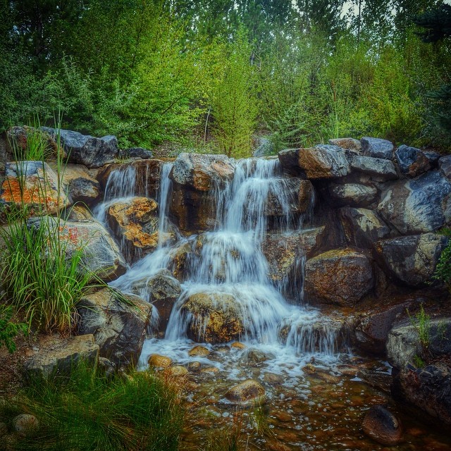
Babbling brook burbling at #thanksgivingpointgardens

Draper- East
Sandy Balloon Festival 2013
The Kiss
Topographic Map of S, South Jordan, UT, USA
Find elevation by address:

Places near S, South Jordan, UT, USA:
High Pointe
Namibian Dune Drive
North District
Sweet Pea Lane
Oquirrh Mountain Utah Temple
11400 4000 W
11453 S Pkwy Plaza Dr
4308 Lake Bridge Dr
4832 Crosswater Rd
10503 S Split Rock Dr
11184 Waltana Way
11278 S Jordan Pkwy
5131 Dock St
5131 Dock St
4441 Shiprock Pl
5182 S Jordan Pkwy
11847 S Taylors Claim Ct
3741 W 12600 S
5124 W Bowstring Way
5124 W Bowstring Way
Recent Searches:
- Elevation of Bernina Dr, Lake Arrowhead, CA, USA
- Elevation of N 82nd Pl, Mesa, AZ, USA
- Elevation of Snake Hill Rd, North Scituate, RI, USA
- Elevation of Lake Shore Dr, Warwick, RI, USA
- Elevation of E Brightview Ave, Pittsburgh, PA, USA
- Elevation of Cavendish Rd, Harringay Ladder, London N4 1RR, UK
- Elevation of 1 Zion Park Blvd, Springdale, UT, USA
- Elevation of Ganderbal
- Elevation map of Konkan Division, Maharashtra, India
- Elevation of Netaji Nagar, Hallow Pul, Kurla, Mumbai, Maharashtra, India