Elevation of S Sasabe Rd, Sasabe, AZ, USA
Location: United States > Arizona > Pima County > Sasabe >
Longitude: -111.54606
Latitude: 31.4969903
Elevation: 1085m / 3560feet
Barometric Pressure: 89KPa
Elevation Map:
Satellite Map:
Related Photos:
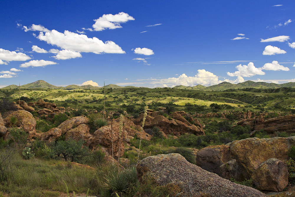
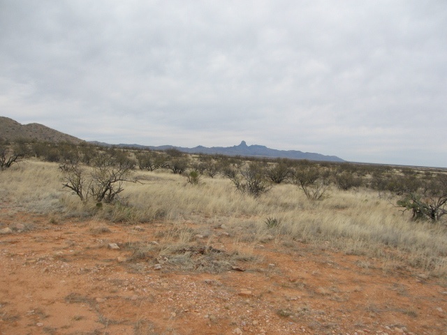
Desert in September

Ruins at the Trading Post

Presumido Store Ruins

El Sasabe
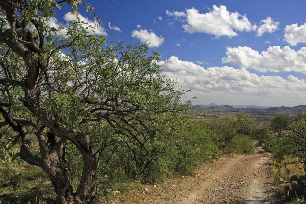
Desert Highway
IMG_1209.JPG
IMG_1210.JPG

Black-throated Sparrow
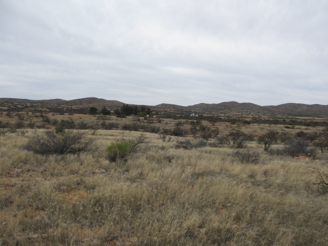
Buenos Aires NWR
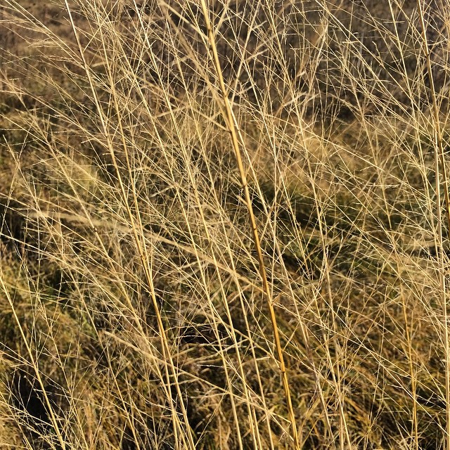
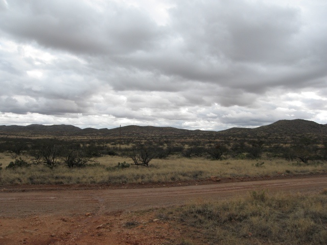
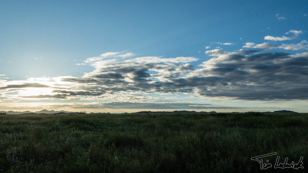
Grasses in the wind.
IMG_1165.JPG
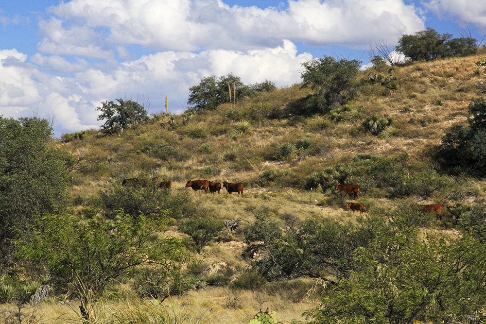
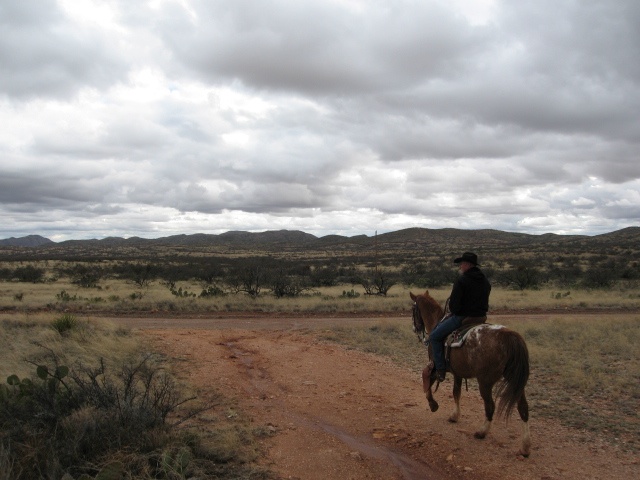
Here's the Beef
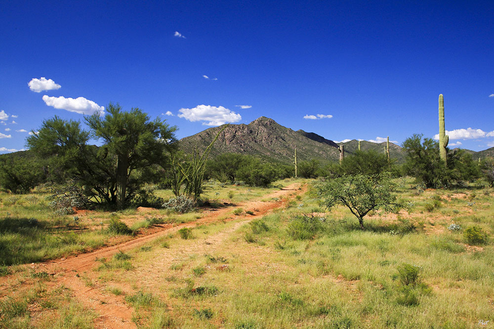
Sonoran Desert Track

IMG_1167.JPG
IMG_1176.JPG
IMG_1179.JPG
SE Arizona 2014
SE Arizona 2014
Topographic Map of S Sasabe Rd, Sasabe, AZ, USA
Find elevation by address:

Places near S Sasabe Rd, Sasabe, AZ, USA:
Sasabe
S Sasabe Hwy, Sasabe, AZ, USA
Buenos Aires National Wildlife Refuge Admin Building And Visitor Contact Station
Arivaca
17200 2nd St
38000 S Wedge Ford Rd
16670 W Arivaca Rd
16450 W Arivaca Rd
15300 W Jalisco Rd
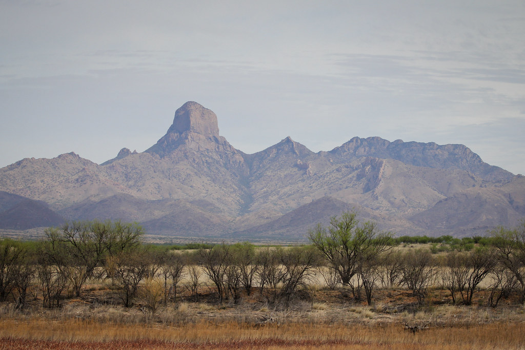
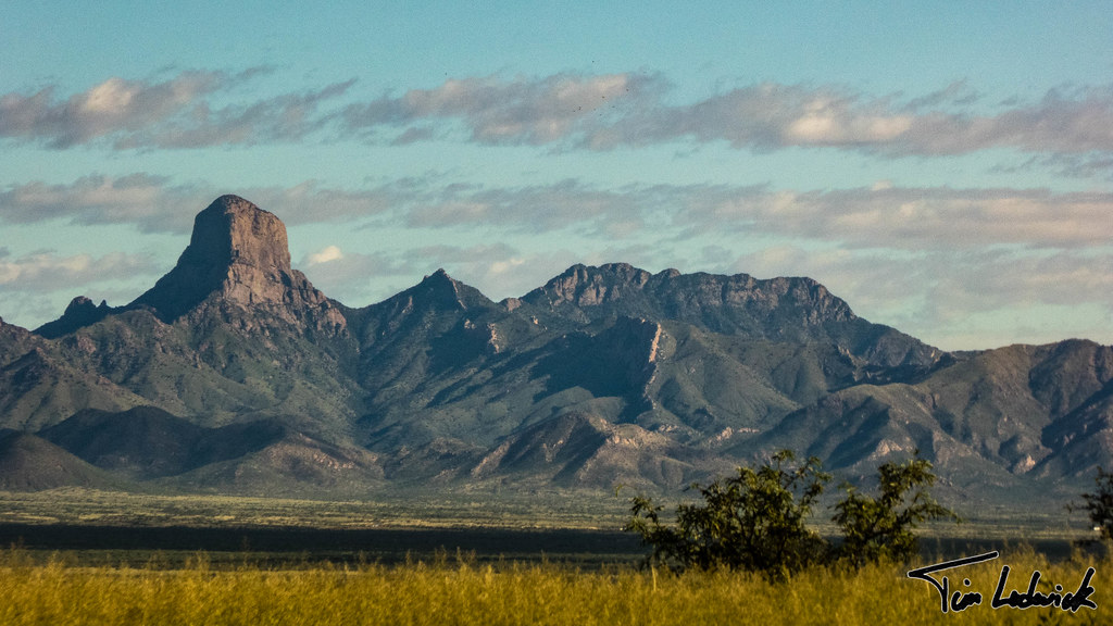
Baboquivari Mountains
33105 S Moyza Ranch Rd
Sonoran Desert
Caballo Loco Ranch Llc
15187 W Dolton Ave
Sells
Diamond Bell Ranch
Cowlic
14060 Canelo Ave #269
14060 Canelo Ave #269
14060 Canelo Ave #269
Recent Searches:
- Elevation of 6 Rue Jules Ferry, Beausoleil, France
- Elevation of Sattva Horizon, 4JC6+G9P, Vinayak Nagar, Kattigenahalli, Bengaluru, Karnataka, India
- Elevation of Great Brook Sports, Gold Star Hwy, Groton, CT, USA
- Elevation of 10 Mountain Laurels Dr, Nashua, NH, USA
- Elevation of 16 Gilboa Ln, Nashua, NH, USA
- Elevation of Laurel Rd, Townsend, TN, USA
- Elevation of 3 Nestling Wood Dr, Long Valley, NJ, USA
- Elevation of Ilungu, Tanzania
- Elevation of Yellow Springs Road, Yellow Springs Rd, Chester Springs, PA, USA
- Elevation of Rēzekne Municipality, Latvia