Elevation of S R, Leesburg, OH, USA
Location: United States > Ohio > Highland County > Fairfield Township > Leesburg >
Longitude: -83.522461
Latitude: 39.3040809
Elevation: 269m / 883feet
Barometric Pressure: 98KPa
Elevation Map:
Satellite Map:
Related Photos:

Winter Robin

Rocky Fork Lake

Winter Robin
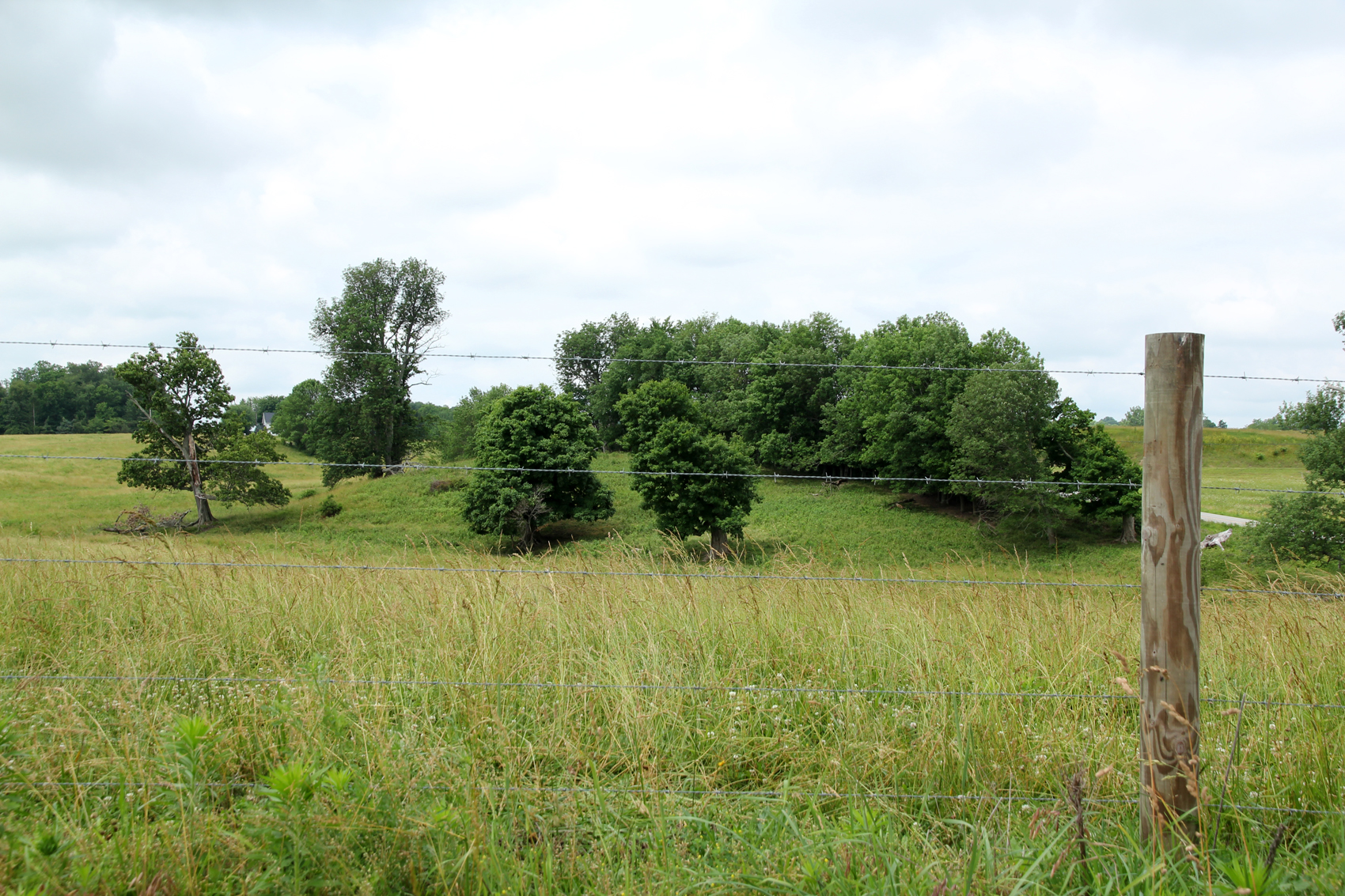
Landscape — Fairfield Township, Highland County, OH
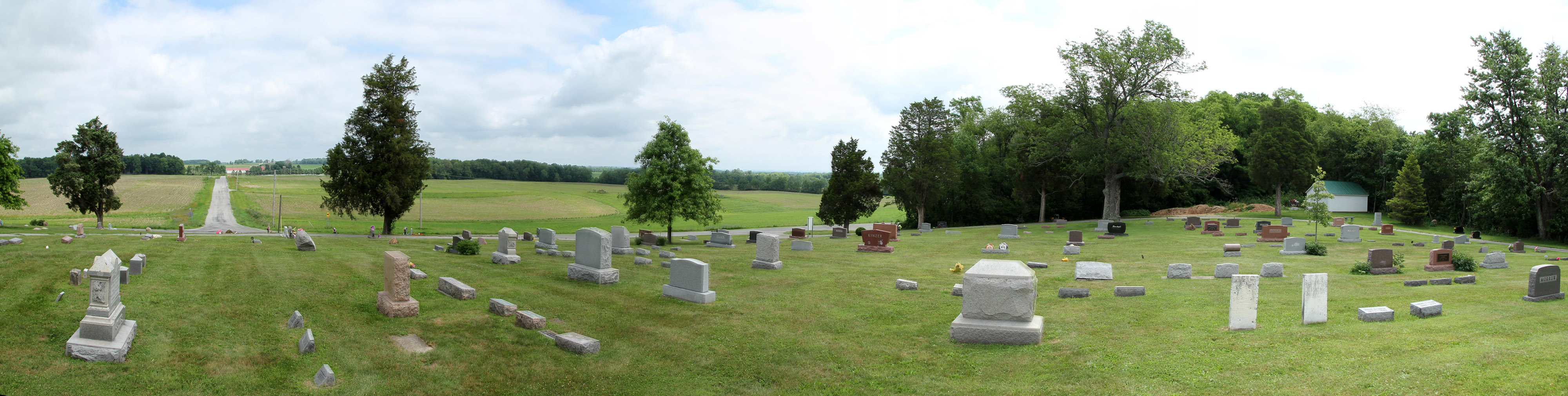
Hightop Cemetery — Penn Township, Highland County, OH
Retracing steps

Old school exercise
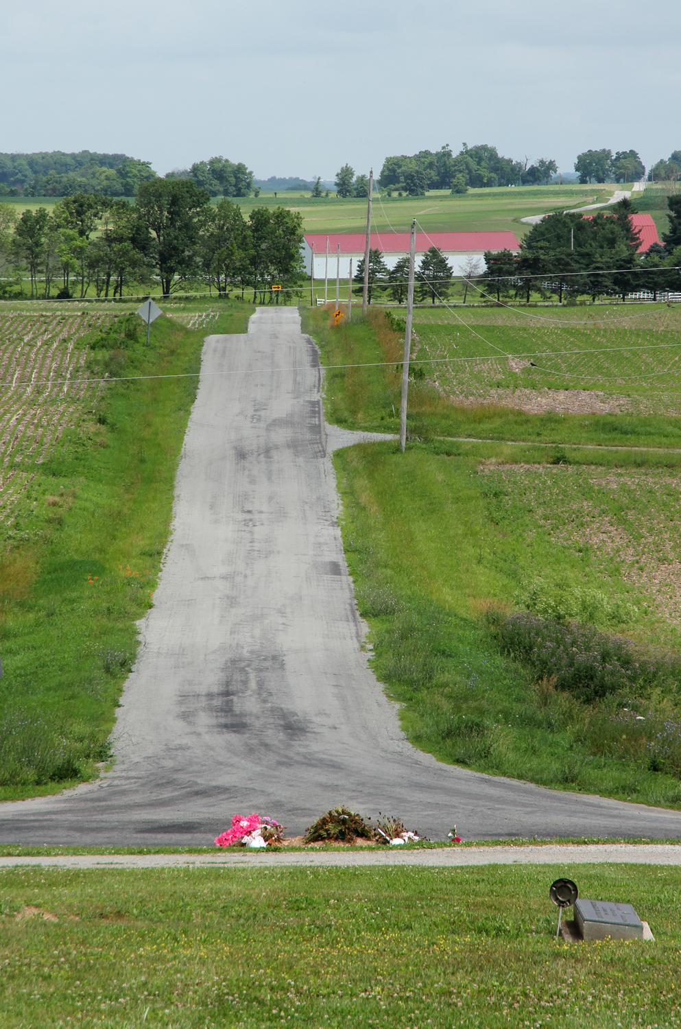
Landscape — Fairfield Township, Highland County, OH

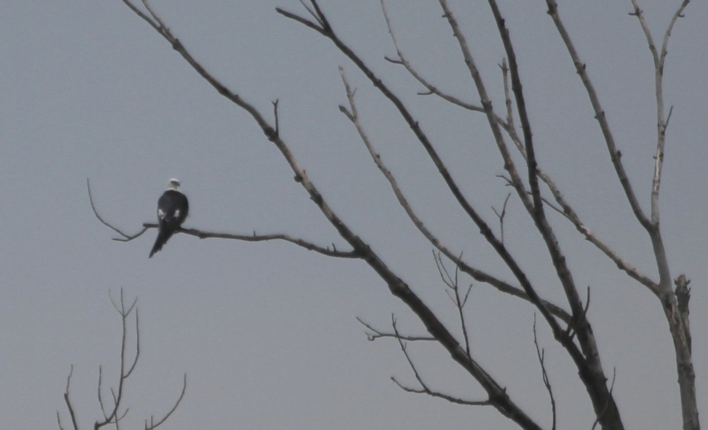
View From Above

Sunset Robin 5

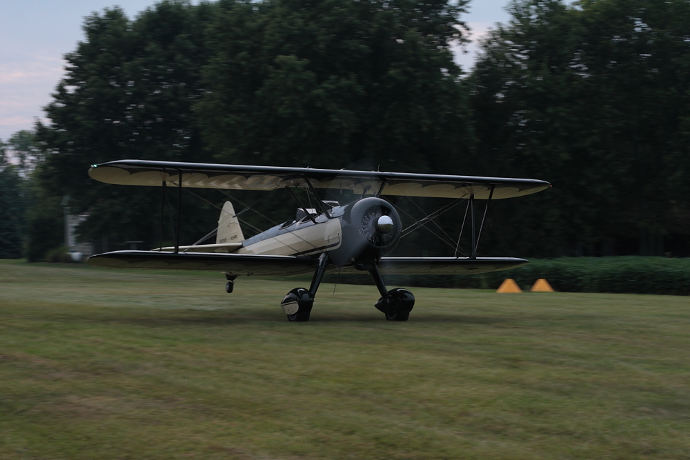
Citabria screams overhead
Jones Road — Penn Township, Highland County, OH
Stearman take off roll
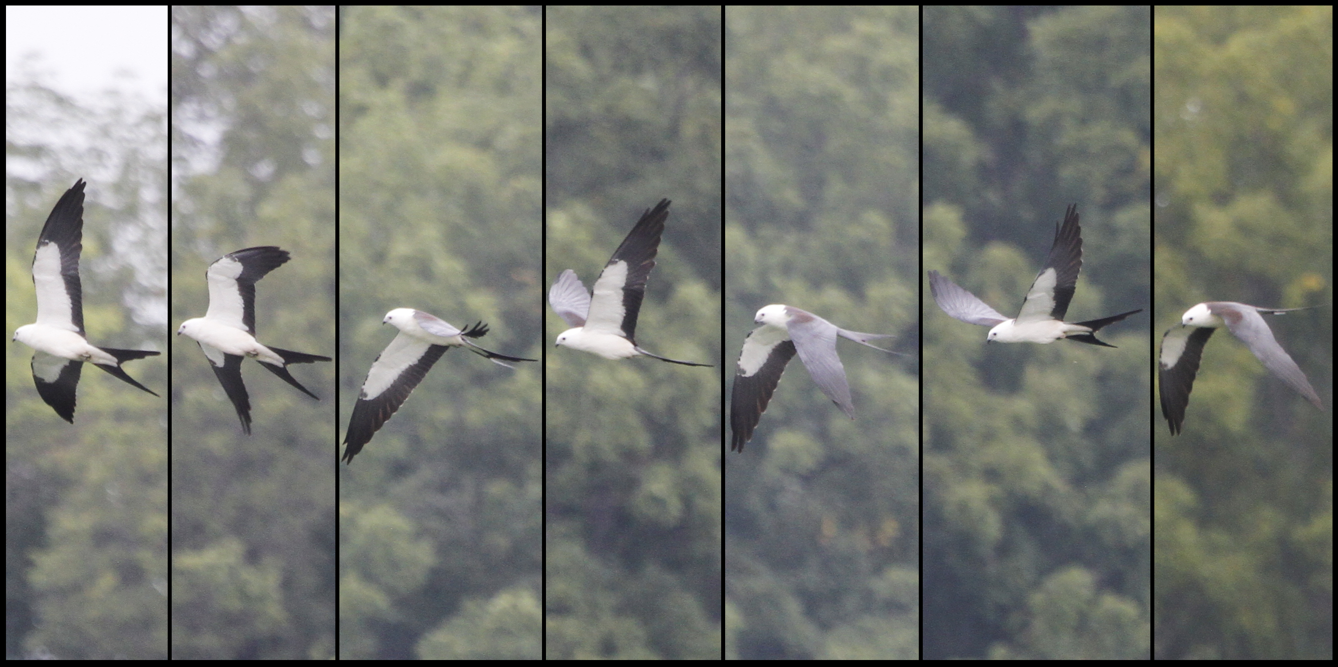
Swallow-tailed Kite
Swallow-tailed Kite
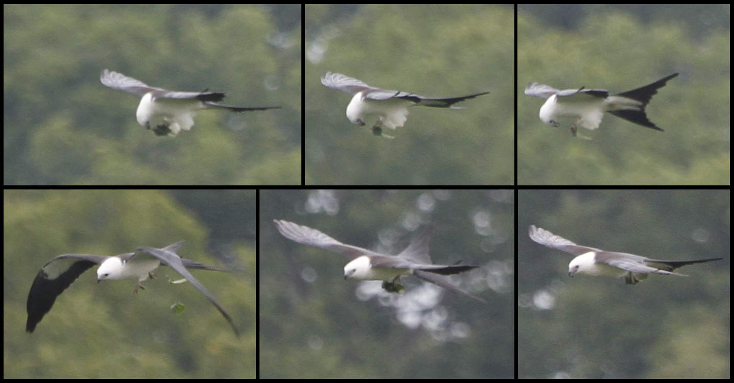
Swallow-tailed Kite
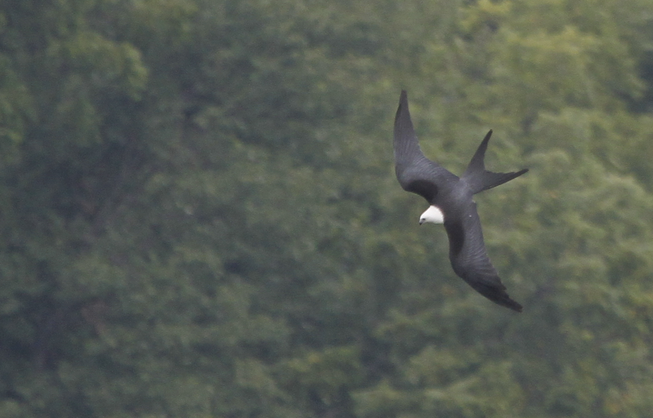
Swallow-tailed Kite
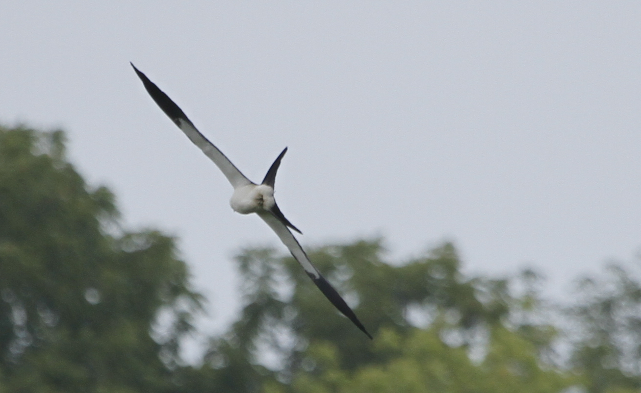
Swallow-tailed Kite
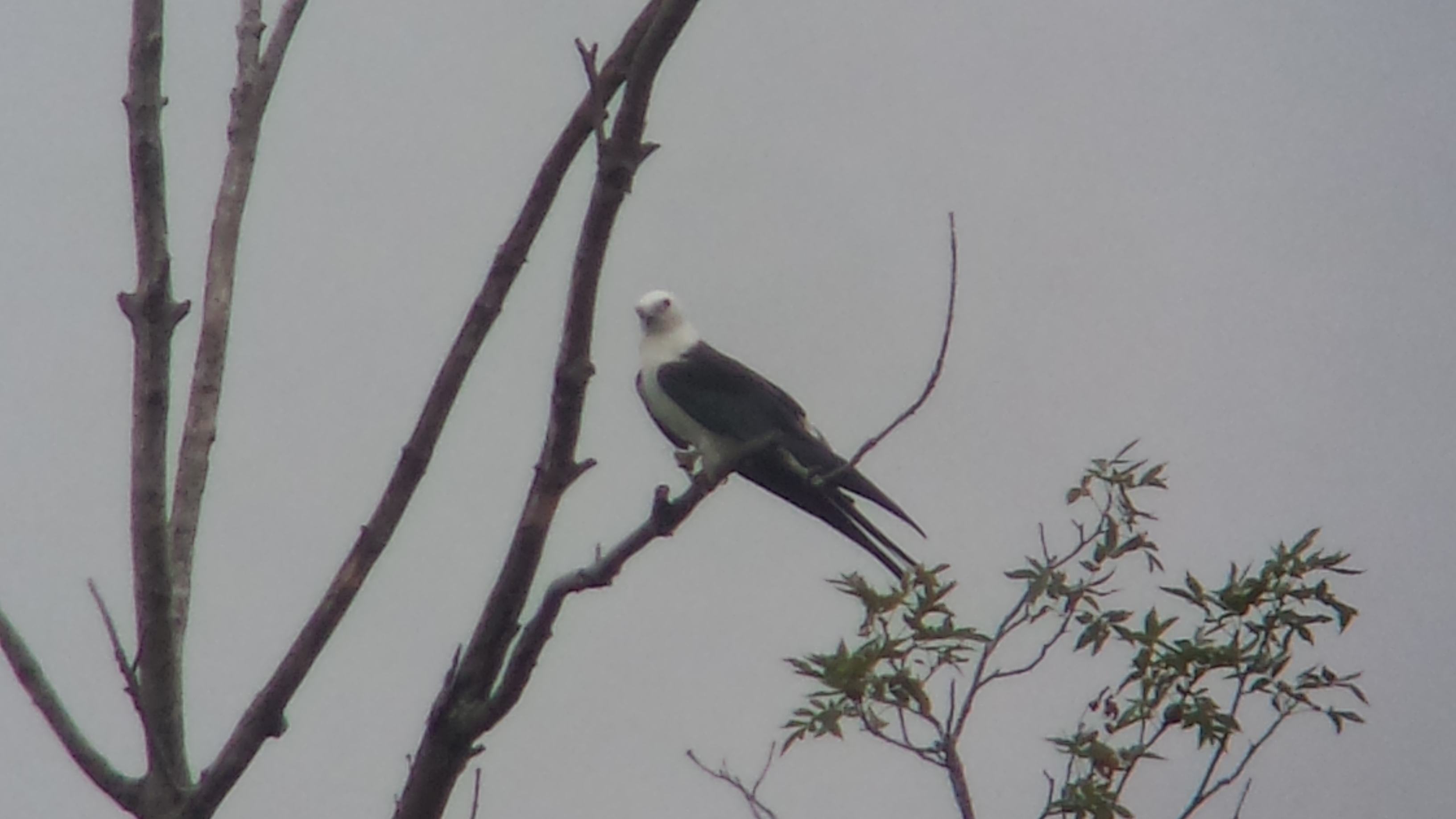
Swallow-tailed Kite

Swallow-tailed Kite
Fallsville Wildlife Area.

Little Pond at Paint Creek, State Park
South Elevation, Richard Timberlake House — Samantha, OH

Welcome To Fallsville

Feb 8
Landscape — Fairfield Township, Highland County, OH
Rear, Travelers' Rest — Greenfield, OH
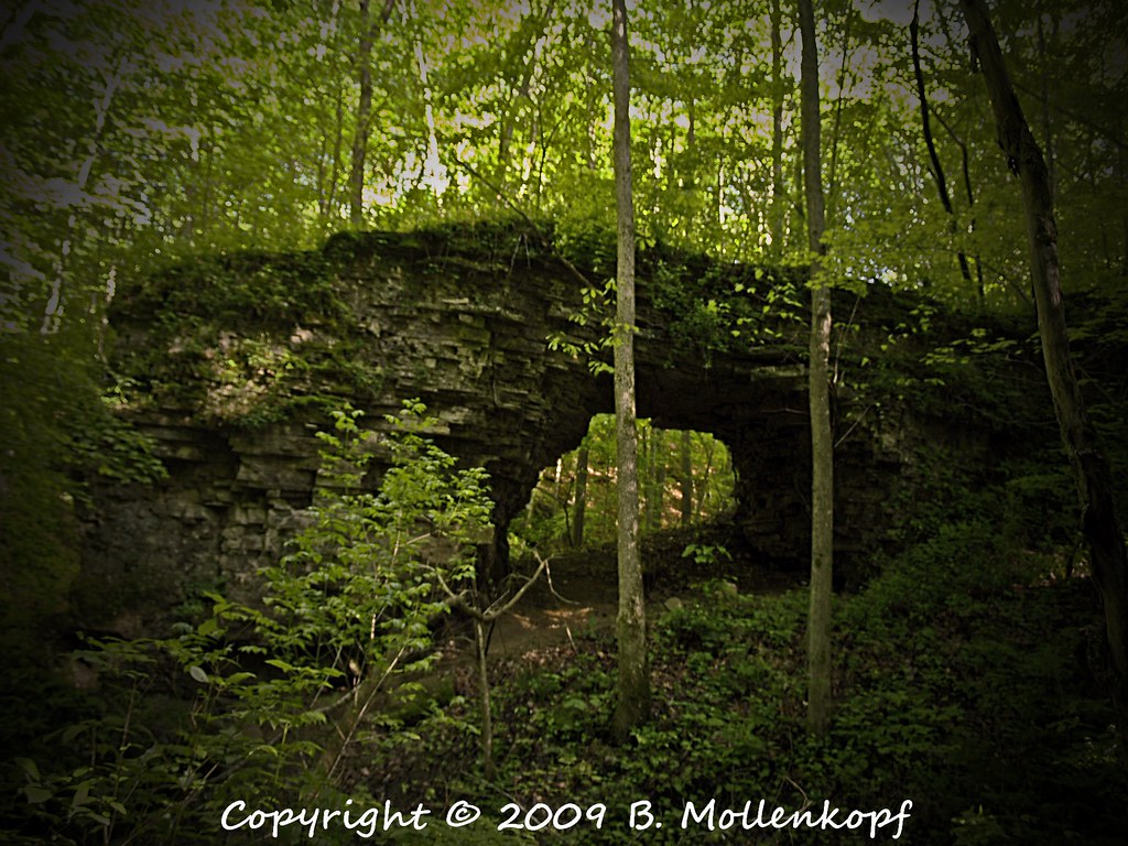
Trimmer Arch
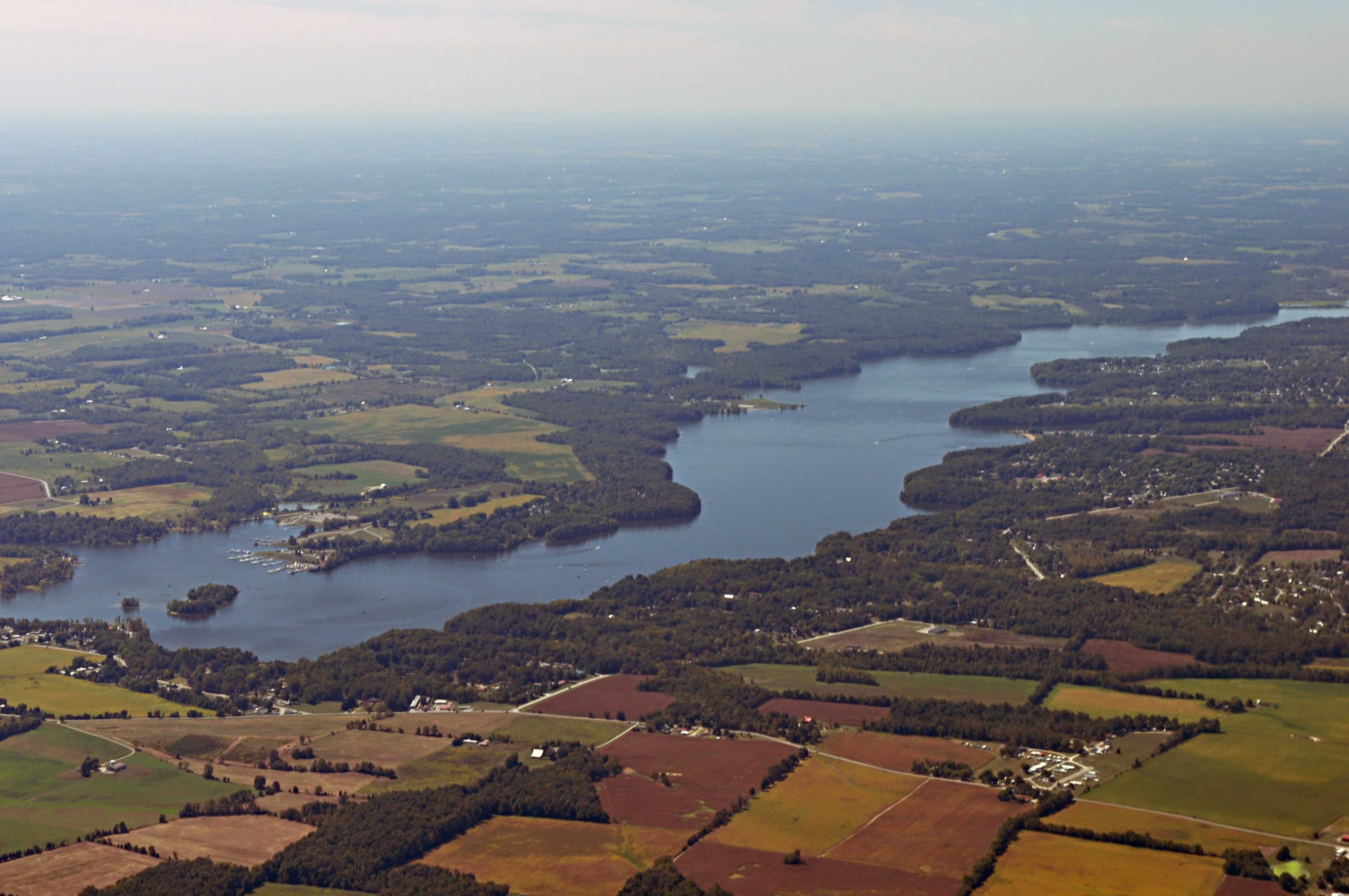
Lake in Southern Ohio

Highland County - Fallsville, OH

Highland County - McCoppin Mill, OH
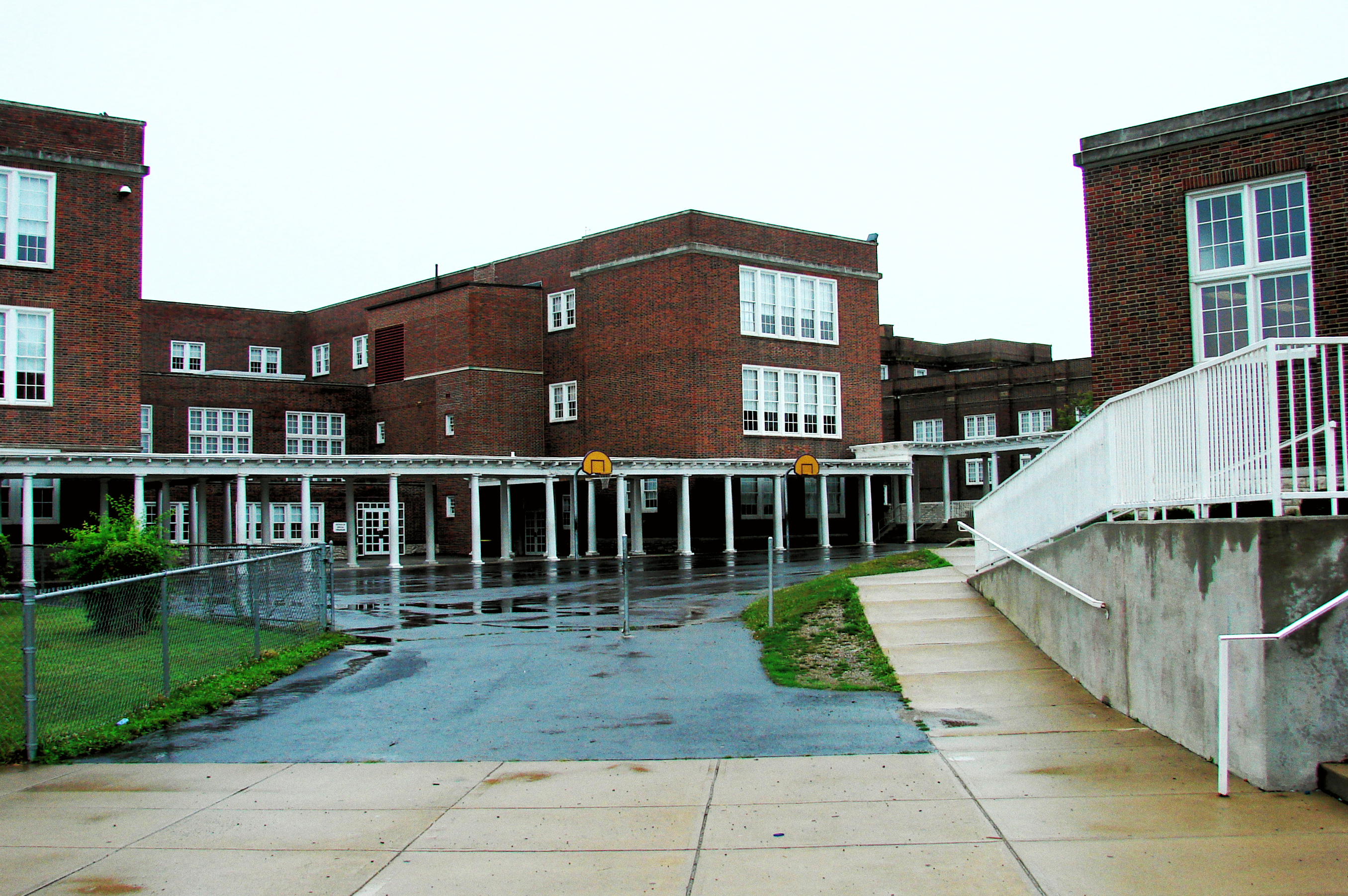
McClain High School 1

East Monroe Falls 2010 0530 (4)

East Monroe Falls 2010 0530 (2)
Topographic Map of S R, Leesburg, OH, USA
Find elevation by address:

Places near S R, Leesburg, OH, USA:
Fairfield Township
10491 Pausch Rd
9196 Black Rabbit Rd
Leesburg
Highland County
12625 Oh-72
S R, Greenfield, OH, USA
Penn Township
Madison Township
Paint Township
7580 Evans Rd
10415 Winegar Rd
Gist Settlement Rd, New Vienna, OH, USA
6605 Roundhead Rd
12649 Lovers Ln
Liberty Township
13608 Hillcrest Dr
Hillsboro
7603 Diven Rd
7581 Diven Rd
Recent Searches:
- Elevation of Fern Rd, Whitmore, CA, USA
- Elevation of 62 Abbey St, Marshfield, MA, USA
- Elevation of Fernwood, Bradenton, FL, USA
- Elevation of Felindre, Swansea SA5 7LU, UK
- Elevation of Leyte Industrial Development Estate, Isabel, Leyte, Philippines
- Elevation of W Granada St, Tampa, FL, USA
- Elevation of Pykes Down, Ivybridge PL21 0BY, UK
- Elevation of Jalan Senandin, Lutong, Miri, Sarawak, Malaysia
- Elevation of Bilohirs'k
- Elevation of 30 Oak Lawn Dr, Barkhamsted, CT, USA