Elevation of São Manoel, Campestre da Serra - RS, Brazil
Location: Brazil > State Of Rio Grande Do Sul > Campestre Da Serra >
Longitude: -51.017390
Latitude: -28.782085
Elevation: 763m / 2503feet
Barometric Pressure: 92KPa
Elevation Map:
Satellite Map:
Related Photos:

On the road
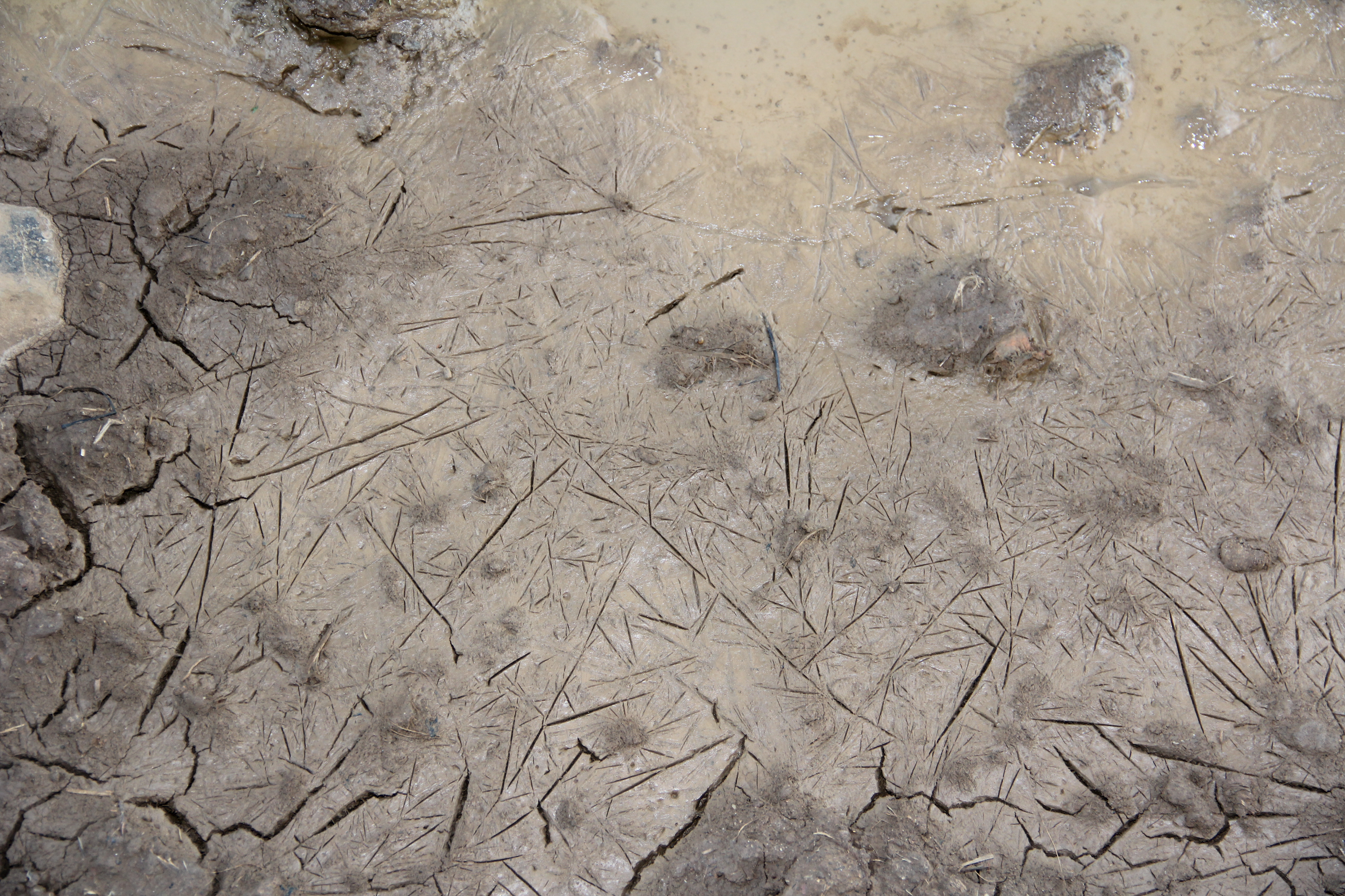
Frozen Mud
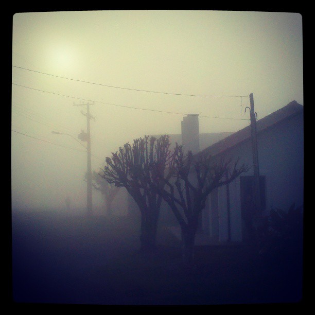
Bom dia Serra Gaúcha. -1°C.
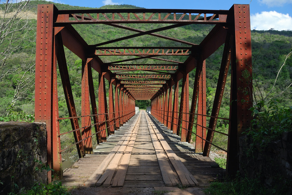
Ponte dos Korff
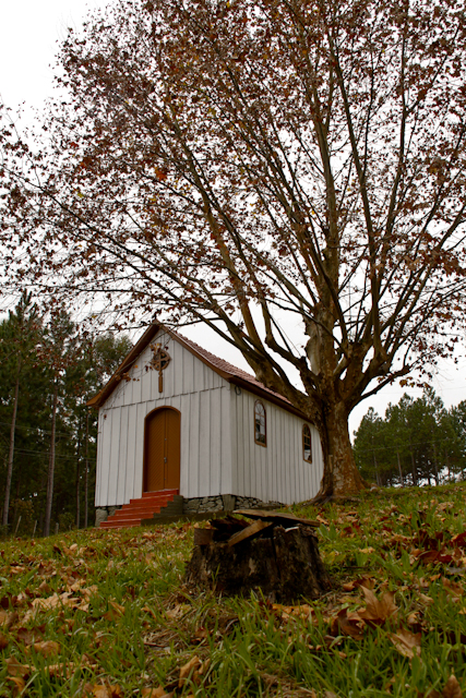
Igreja de N.S.do Carmo - Linha Rosita - São Marcos-RS
Topographic Map of São Manoel, Campestre da Serra - RS, Brazil
Find elevation by address:

Places in São Manoel, Campestre da Serra - RS, Brazil:
Places near São Manoel, Campestre da Serra - RS, Brazil:
2-106
Campestre Da Serra
São Marcos
R. João Biazus, - Bela Vista, Caxias do Sul - RS, -, Brazil
1-191
Pinto Bandeira
R. Sete de Setembro, - Centro, Pinto Bandeira - RS, -, Brazil
Mwfc+98
Nova Petrópolis
Nova Petrópolis
Gramado
Gramado
R. Felipe Michaelsen, Nova Petrópolis - RS, -, Brazil
Recent Searches:
- Elevation of Redondo Ave, Long Beach, CA, USA
- Elevation of Sadovaya Ulitsa, 20, Rezh, Sverdlovskaya oblast', Russia
- Elevation of Ulitsa Kalinina, 79, Rezh, Sverdlovskaya oblast', Russia
- Elevation of 72-31 Metropolitan Ave, Middle Village, NY, USA
- Elevation of 76 Metropolitan Ave, Brooklyn, NY, USA
- Elevation of Alisal Rd, Solvang, CA, USA
- Elevation of Vista Blvd, Sparks, NV, USA
- Elevation of 15th Ave SE, St. Petersburg, FL, USA
- Elevation of Beall Road, Beall Rd, Florida, USA
- Elevation of Leguwa, Nepal