Elevation of Sơn La, Son La, Vietnam
Location: Vietnam > Son La >
Longitude: 103.914386
Latitude: 21.3269024
Elevation: 602m / 1975feet
Barometric Pressure: 94KPa
Elevation Map:
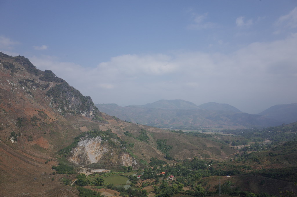
Satellite Map:
Related Photos:

2012-10-20-215_1600x899
R0057325.JPG

R0057327.JPG

R0057317.JPG

R0057312.JPG

R0057309.JPG

R0057310.JPG

R0057304.JPG

R0057324.JPG

R0057308.JPG

R0057314.JPG

R0057319.JPG

R0057318.JPG

R0057302.JPG

R0057303.JPG

R0057305.JPG

R0057307.JPG
Topographic Map of Sơn La, Son La, Vietnam
Find elevation by address:

Places near Sơn La, Son La, Vietnam:
Son La
Northwest Region
Tả Van
Sa Pa
Ta Van Homestay
Bản Bo
Ta Van
Fansipan
Hôtel De La Coupole - Mgallery
Tt. Sa Pa
Tam Đường District
Lai Châu
Lào Cai
Lai Chau
Recent Searches:
- Elevation of 6 Muir St, Medowie NSW, Australia
- Elevation of Woodland Road, Woodland Rd, Lee, MA, USA
- Elevation of Turner Mill Rd, Talladega, AL, USA
- Elevation of Wylie Ridge Rd, New Cumberland, WV, USA
- Elevation of Dogwood Ln, Millsboro, DE, USA
- Elevation of Paseo Lucido, San Diego, CA, USA
- Elevation of W S, Orem, UT, USA
- Elevation of Water Bird Wy, Punta Gorda, FL, USA
- Elevation of Teiskontie 8, Tampere, Finland
- Elevation of Pacific View Dr, Malibu, CA, USA