Elevation of S Mountain Park, Connelly Springs, NC, USA
Location: United States > North Carolina > Burke County > Lovelady > Connelly Springs >
Longitude: -81.600291
Latitude: 35.596443
Elevation: 374m / 1227feet
Barometric Pressure: 97KPa
Elevation Map:
Satellite Map:
Related Photos:

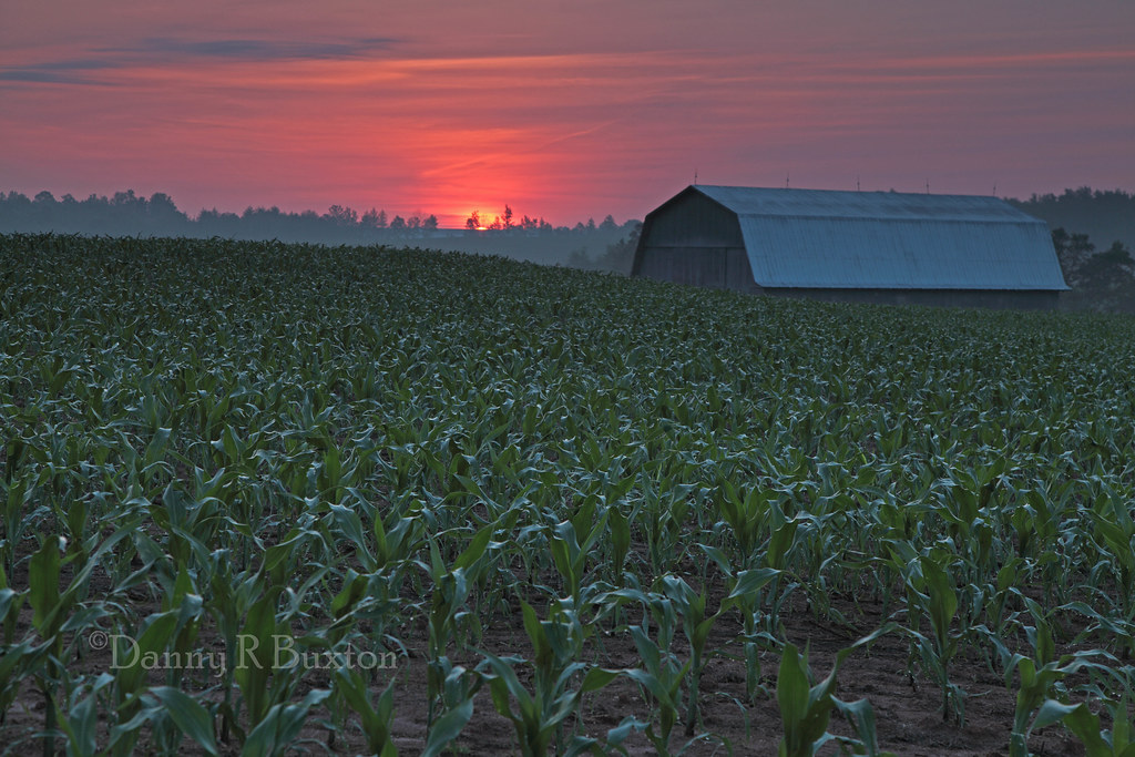
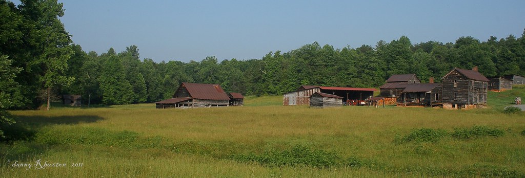
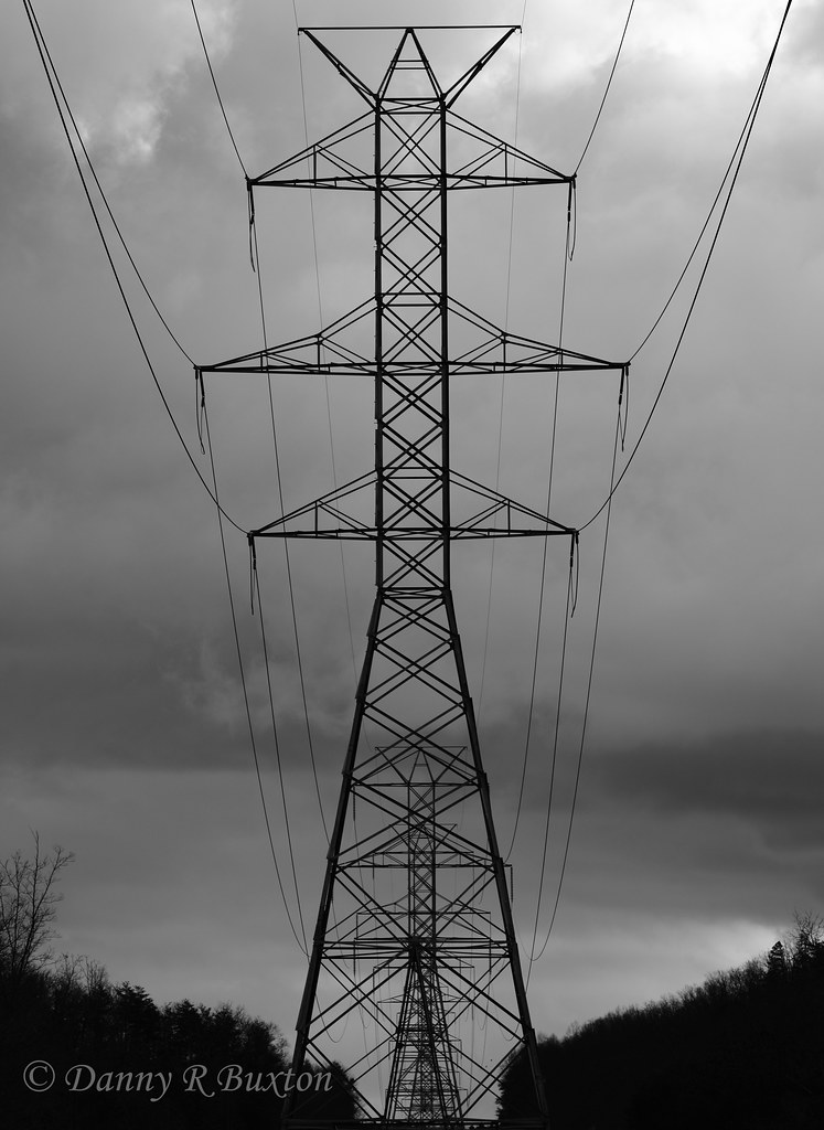
Crayola Crayons

Jacob's Fork in the Fall

High Shoals Falls
In the Country 22/52

Journey 313/365

South Mountain Trillium

Misty Base
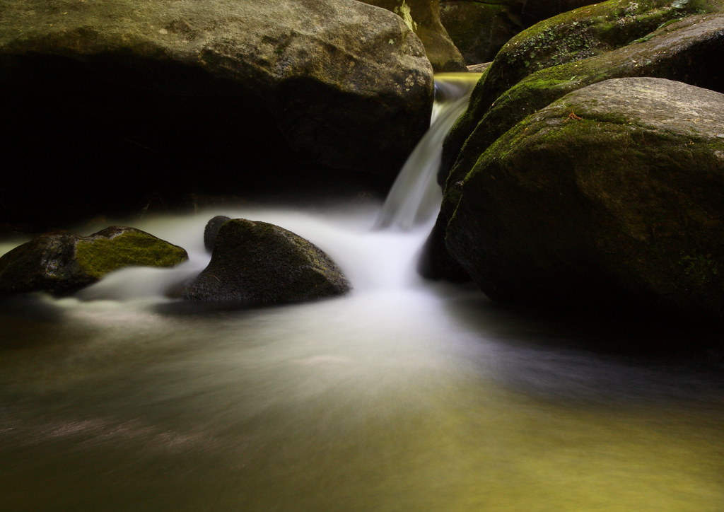
Golden Cascade

Falling Water with Ice

Red Leaf

Sliding Board?
Falling Water

The Base

Jacob's Fork Cascade

Countryside View

Autumn Cascade

Go with the Flow

In over my Knees!

Party Lights
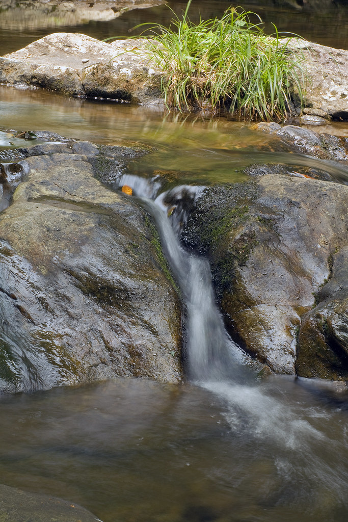
Jacob's Fork Trickle

Quiet by the Creekside

For Evelyn

Moon Glow 4/52

Mountain Laurel

North Carolina Road

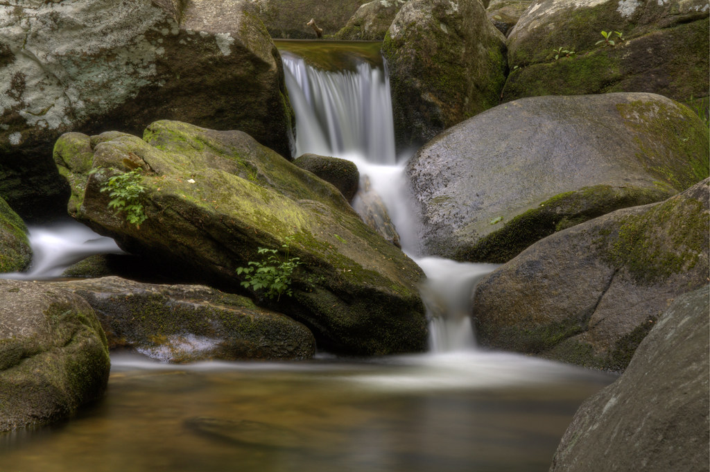
Jacob's Fork Cascades

Winter Water

South Mountains Cascade
The Farm 152/365

Sweet Serenity
Repetition 6/52
Topographic Map of S Mountain Park, Connelly Springs, NC, USA
Find elevation by address:

Places near S Mountain Park, Connelly Springs, NC, USA:
7866 Kinglet Rd
Lower Fork
Mount Gilead Church Road
South Mountains State Park
3001 S Mountain Park
6623 Ward Gap Rd
6578 Ward Gap Rd
5611 Pine Ridge Dr
4456 Old North Carolina 18
8411 Debbie Dr
Deer Run
352 Dirty Ankle Rd
8585 Hackberry Rd
Upper Fork
6608 Casar Rd
3112 Old North Carolina 18
11, Casar
5332 Nc-18
Casar Rd, Casar, NC, USA
Casar
Recent Searches:
- Elevation of Elwyn Dr, Roanoke Rapids, NC, USA
- Elevation of Congressional Dr, Stevensville, MD, USA
- Elevation of Bellview Rd, McLean, VA, USA
- Elevation of Stage Island Rd, Chatham, MA, USA
- Elevation of Shibuya Scramble Crossing, 21 Udagawacho, Shibuya City, Tokyo -, Japan
- Elevation of Jadagoniai, Kaunas District Municipality, Lithuania
- Elevation of Pagonija rock, Kranto 7-oji g. 8"N, Kaunas, Lithuania
- Elevation of Co Rd 87, Jamestown, CO, USA
- Elevation of Tenjo, Cundinamarca, Colombia
- Elevation of Côte-des-Neiges, Montreal, QC H4A 3J6, Canada