Elevation of S, Mountain Home, AR, USA
Location: United States > Arkansas > Baxter County > Buckhorn Township >
Longitude: -92.318974
Latitude: 36.23764
Elevation: 221m / 725feet
Barometric Pressure: 99KPa
Elevation Map:
Satellite Map:
Related Photos:
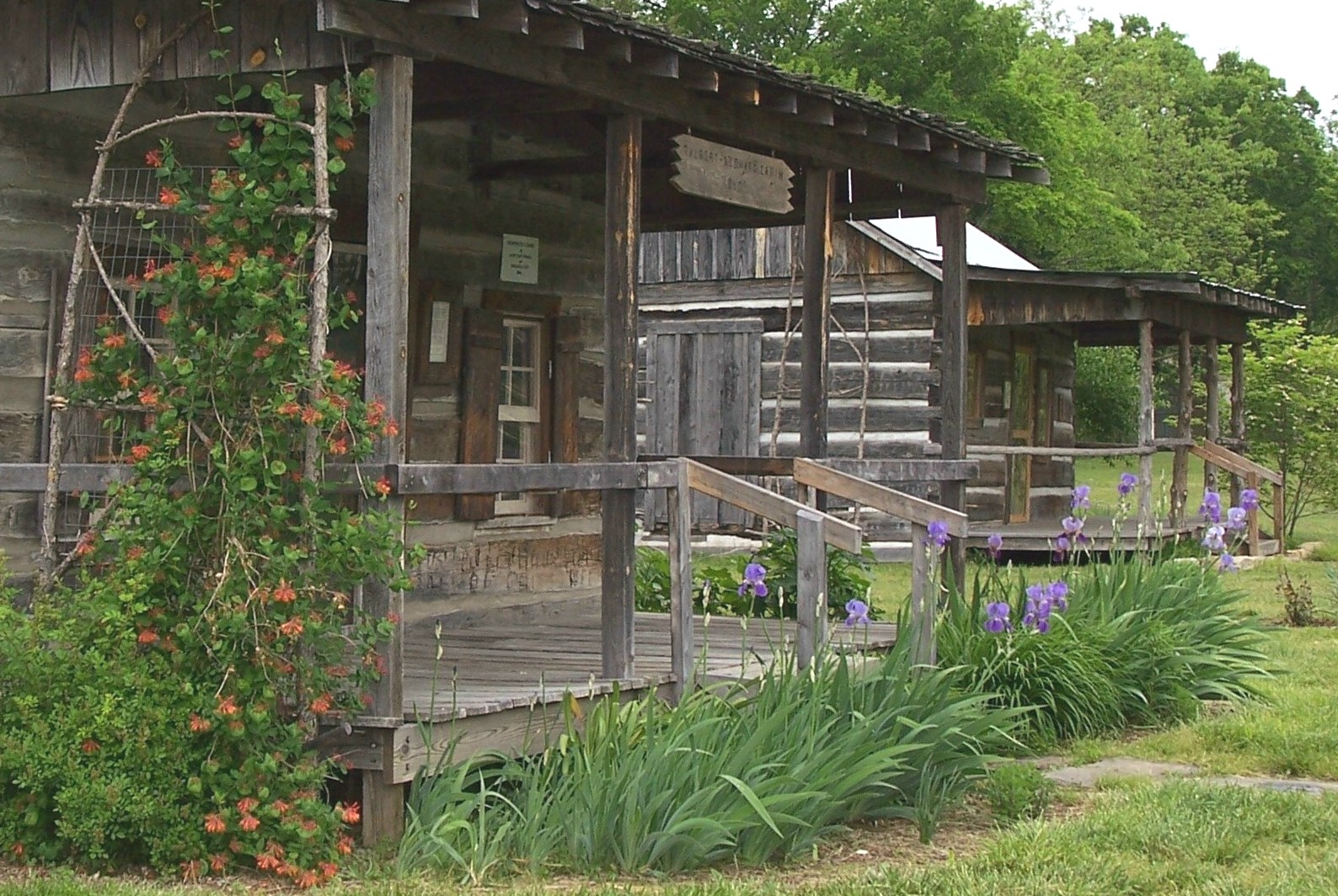
Wolf House Front View

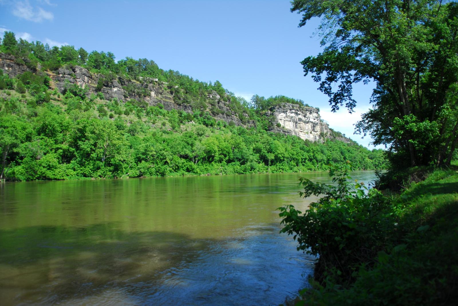
Buffalo National River, AR

Buffalo National River, AR
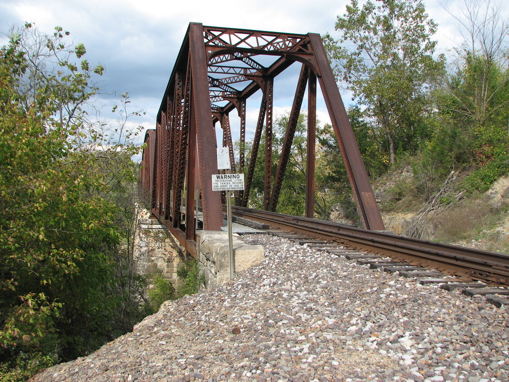
Norfork RR bridge- South Approach-Side View

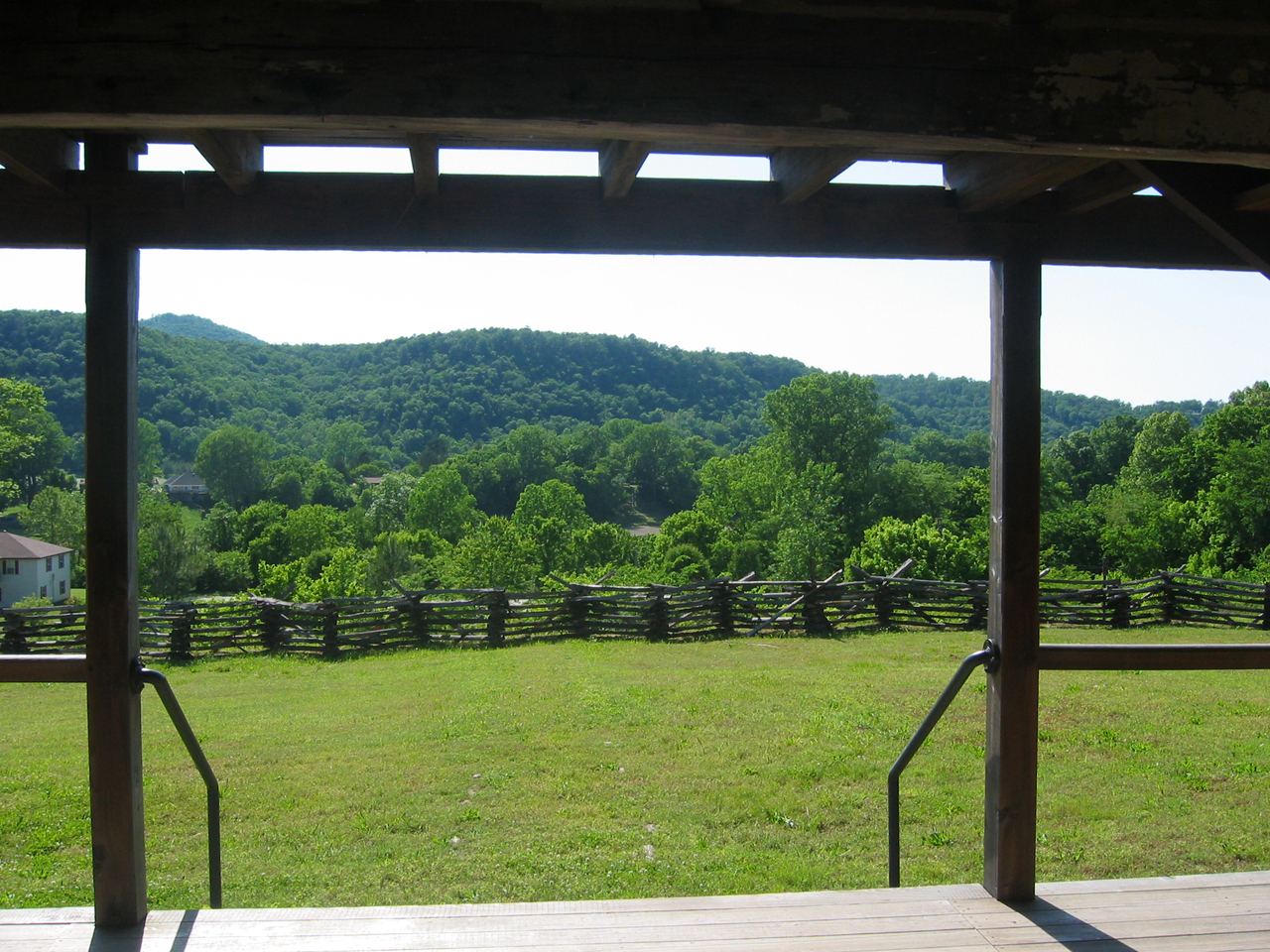
view from the photo stage

Norfork Dam-Arkansas
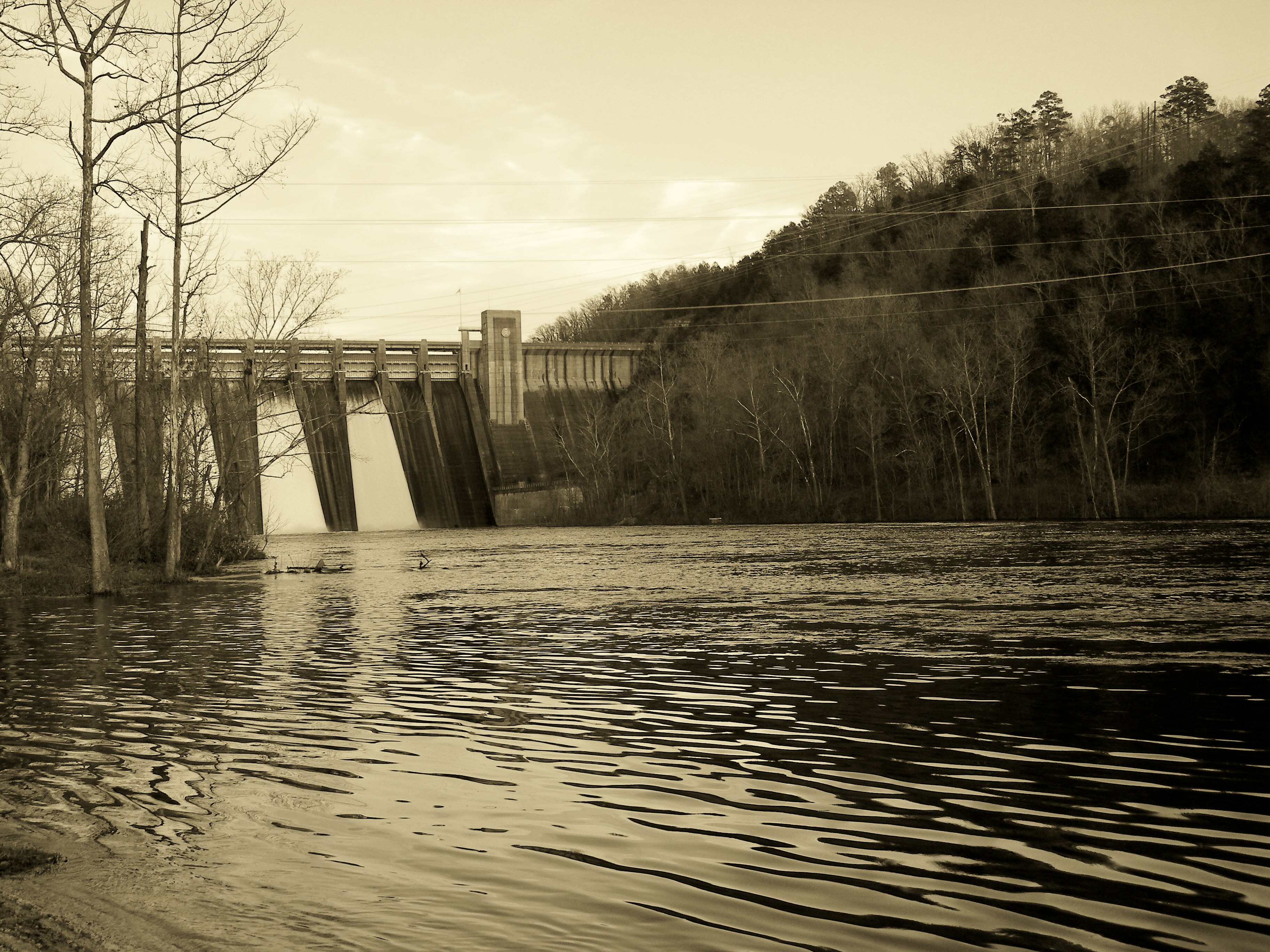
Norfork Dam-Arkansas
Rapps Barren Settlement

Moth on Fleabane
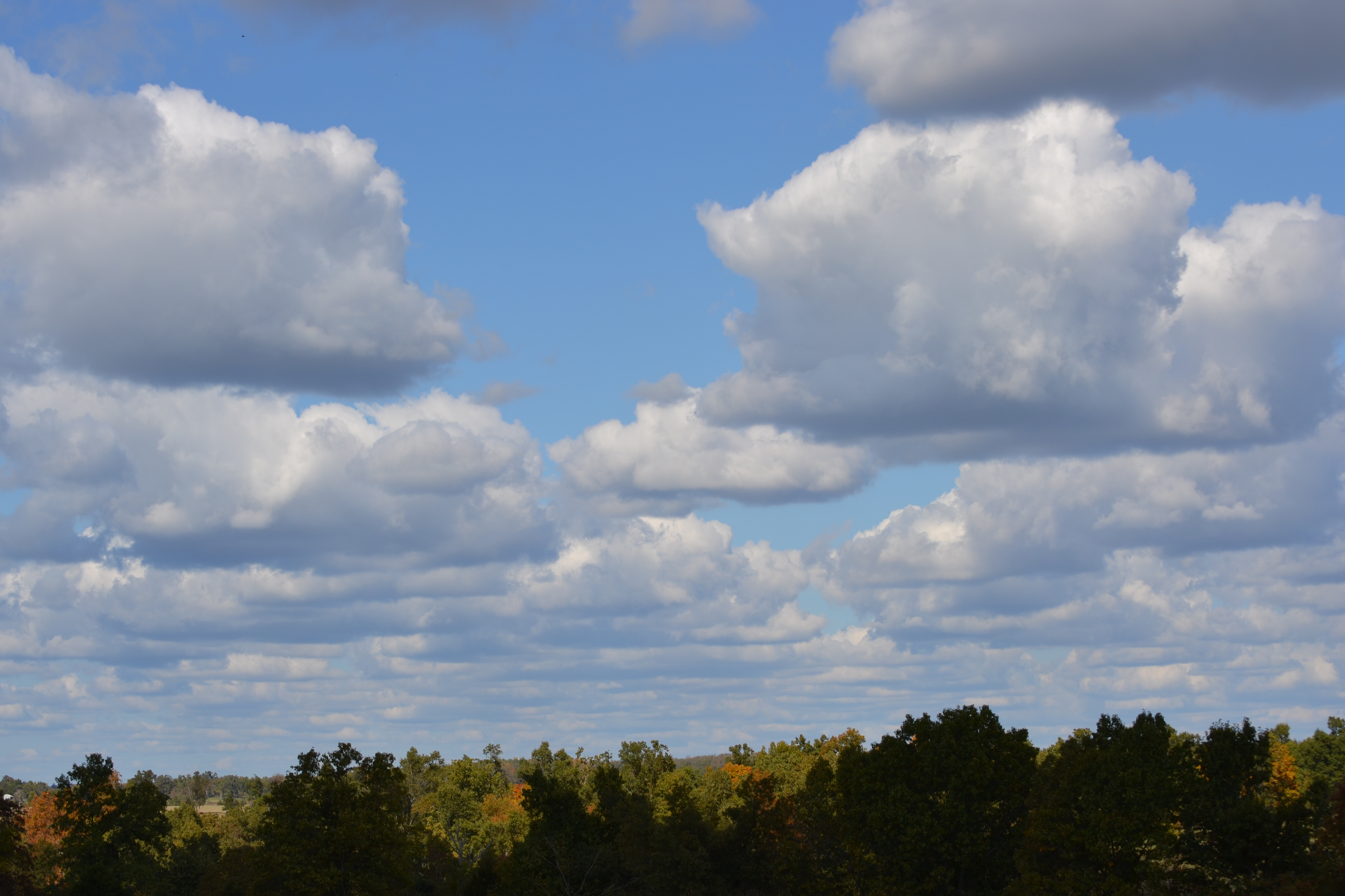
Oh Cloudy Day
Troutfest 24

Rock Makes Splash 2

Rock Makes Splash 1
Norfork Dam-Arkansas

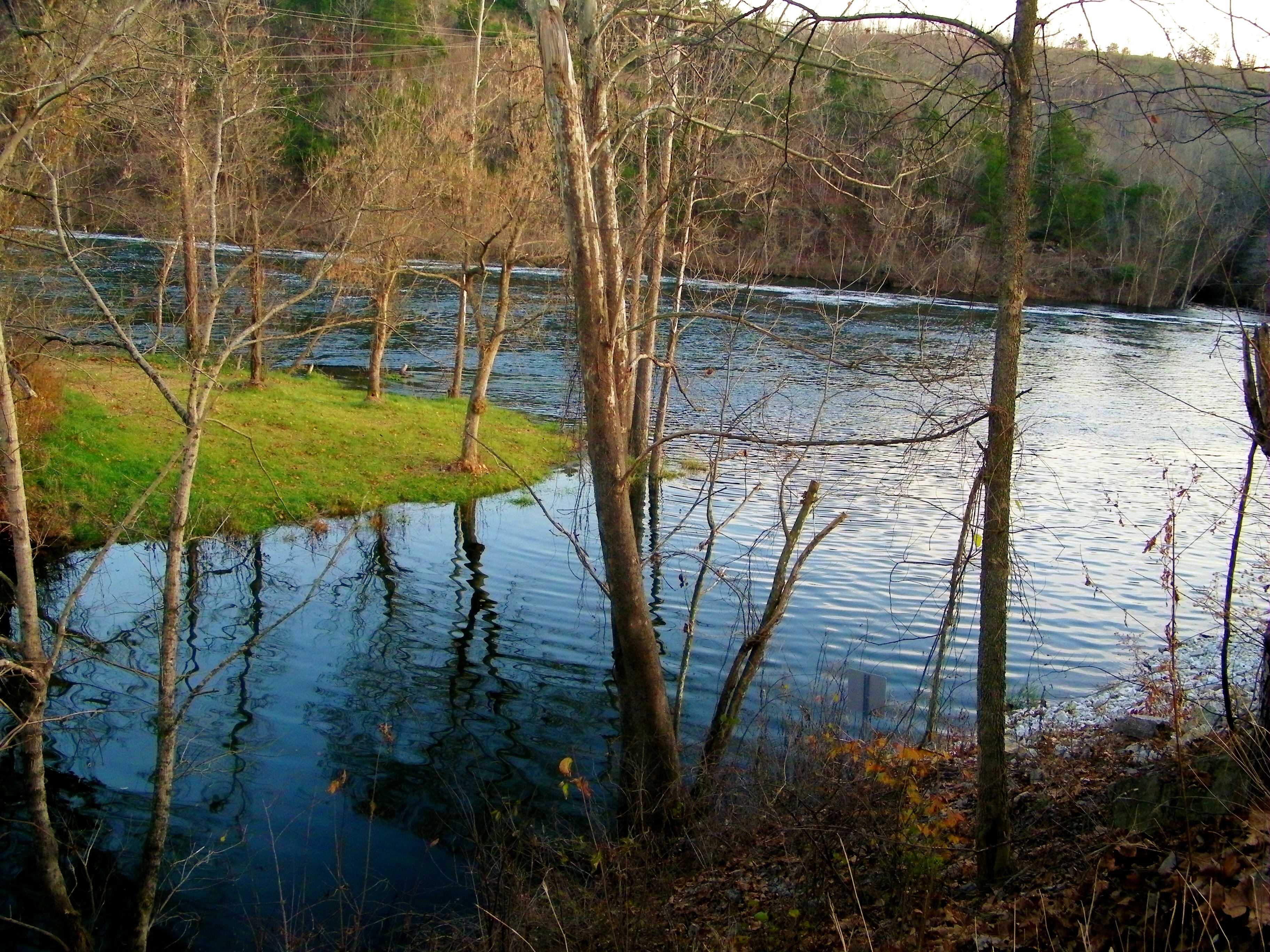
Thanksgiving Sunrise #2

Norfork Dam-Arkansas

Troutfest 24

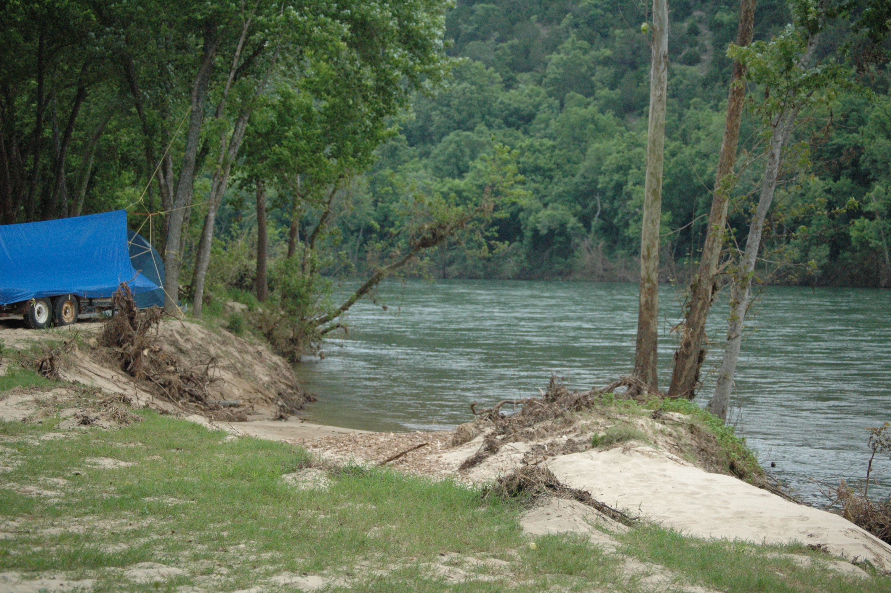
Peaceful Stream

Another Excellent Spot

Stopping for a Smile

Taking It All In

Norfork Dam-Arkansas
Troutfest 24- 2011 126
Nice day to relax.
Topographic Map of S, Mountain Home, AR, USA
Find elevation by address:

Places near S, Mountain Home, AR, USA:
Buckhorn Township
1294 River Ridge Rd
217 Oak Summit Dr
639 Co Rd 615
1516 Sycamore Springs Rd
Brandywine Dr, Mountain Home, AR, USA
81 Black Horse Trail
Lake Heights Dr, Mountain Home, AR, USA
Buford Township
Whispering Woods Cabins
Union Township
Baxter County
3302 Buford Rd
1033 South St
Buzzard Roost Boat Dock
1300 Hwy 62 W
Mountain Home
North Fork Township
Sassafras St, Elizabeth, AR, USA
7 E 7th St
Recent Searches:
- Elevation of Corso Fratelli Cairoli, 35, Macerata MC, Italy
- Elevation of Tallevast Rd, Sarasota, FL, USA
- Elevation of 4th St E, Sonoma, CA, USA
- Elevation of Black Hollow Rd, Pennsdale, PA, USA
- Elevation of Oakland Ave, Williamsport, PA, USA
- Elevation of Pedrógão Grande, Portugal
- Elevation of Klee Dr, Martinsburg, WV, USA
- Elevation of Via Roma, Pieranica CR, Italy
- Elevation of Tavkvetili Mountain, Georgia
- Elevation of Hartfords Bluff Cir, Mt Pleasant, SC, USA