Elevation of S Middleton Dr NW, Calabash, NC, USA
Location: United States > North Carolina > Brunswick County > Shallotte > Calabash >
Longitude: -78.570232
Latitude: 33.9428976
Elevation: 10m / 33feet
Barometric Pressure: 101KPa
Elevation Map:
Satellite Map:
Related Photos:
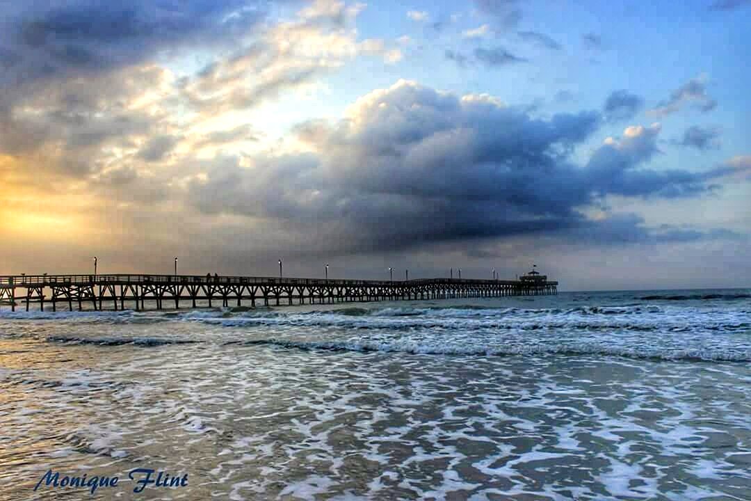
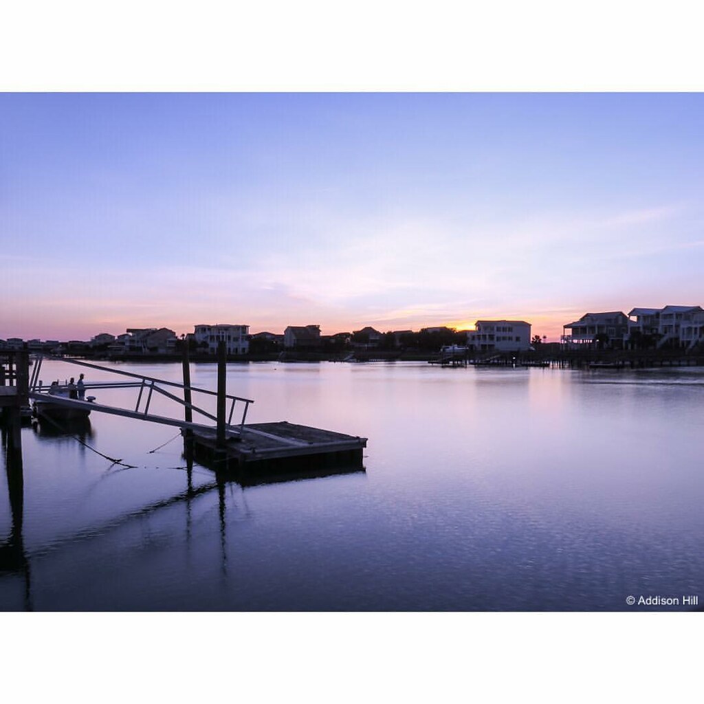
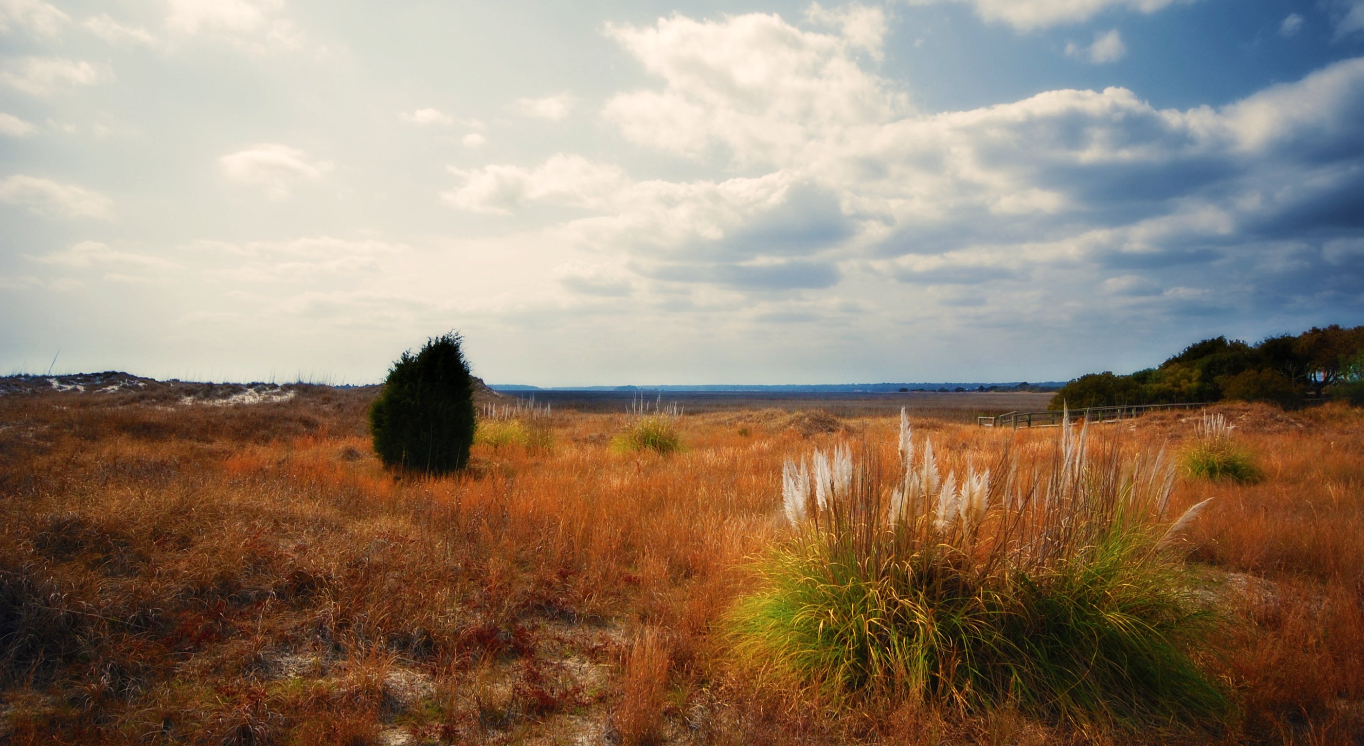
Morning at the Pier
Give Me Silver, Blue and Gold

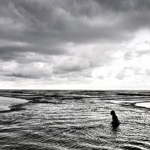
Just before sunrise at the beach ????????
Beach gallery-1
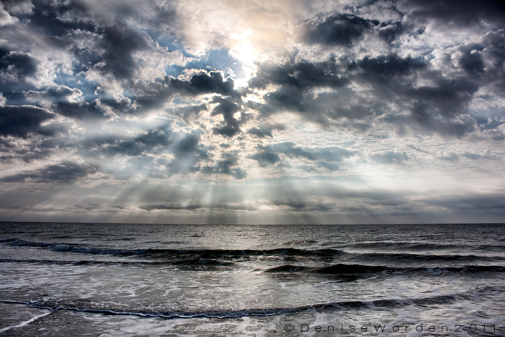
...And The Sun That Lights The Day
ripples-1
Beachcombing 265/365

Ocean Isle Beach, North Carolina, June 2011
Bird-Golden sunset

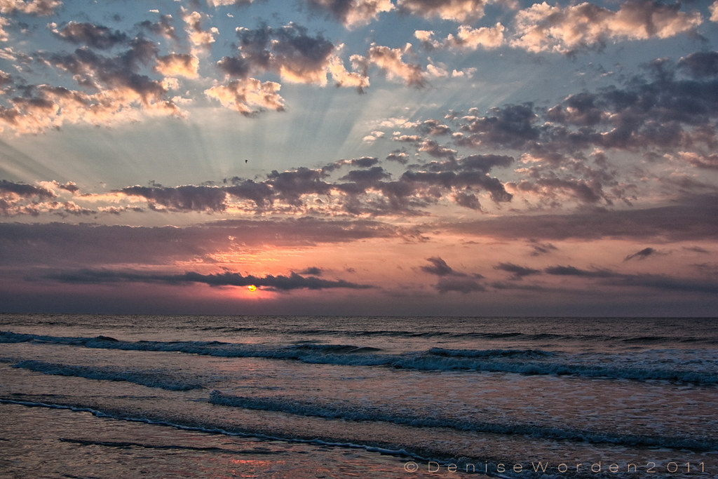
Cherry Grove Beach Sunrise

Sunrise - North Myrtle Beach
Sunrise at OIB Pier
Evenings on the dock. #sunset #dusk #saltlife #sunsetbeachnc #ncbeaches
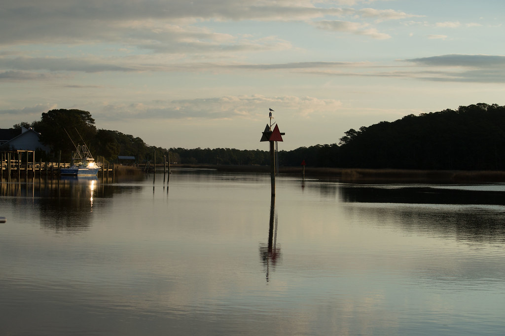
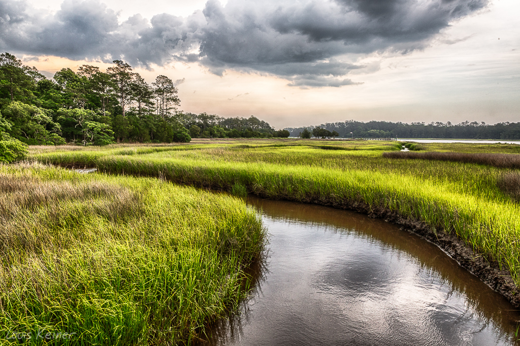
Calabash River

A wave crashes along the NC/SC boundary
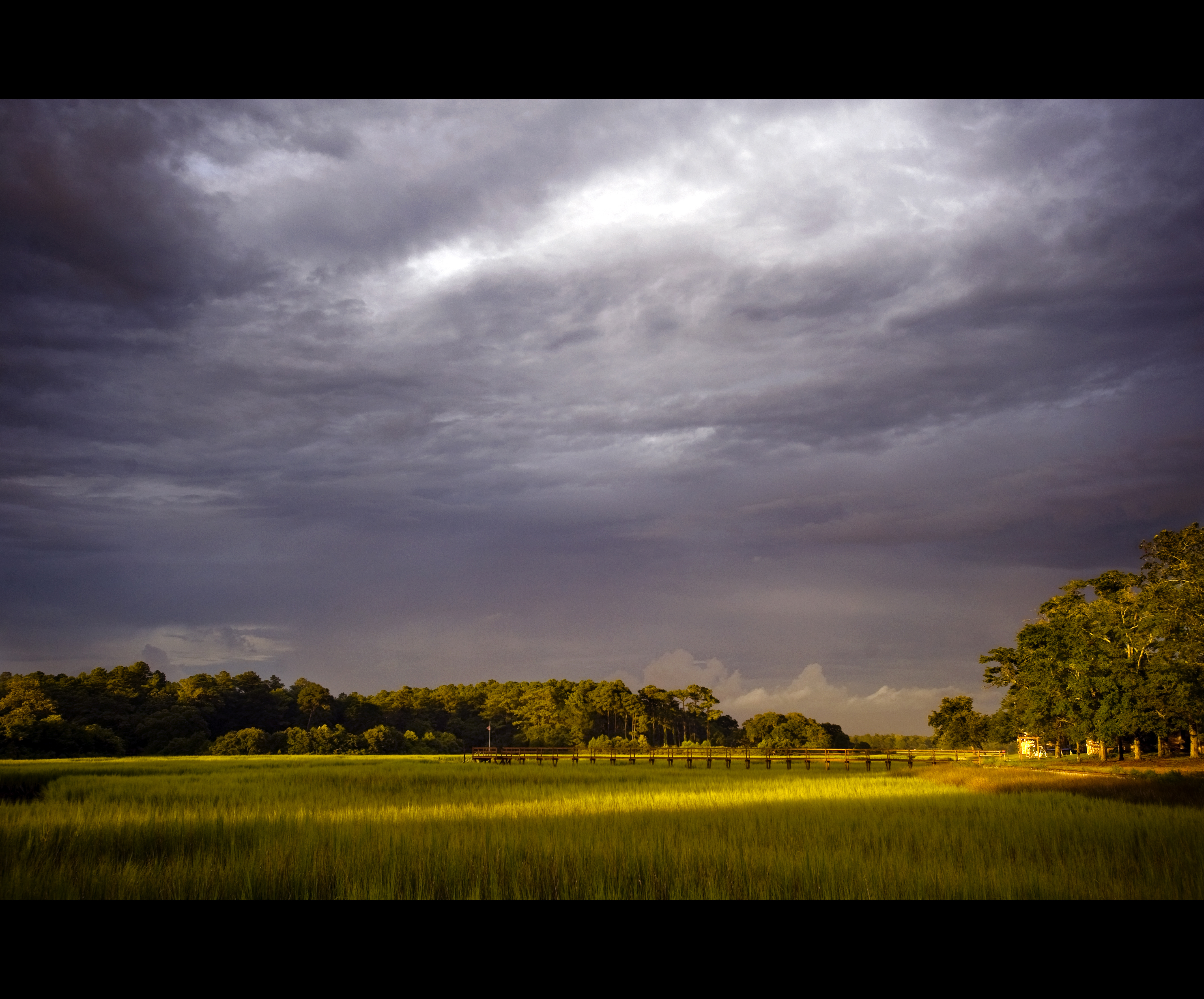
Day 901 - Sunset Over The Marsh
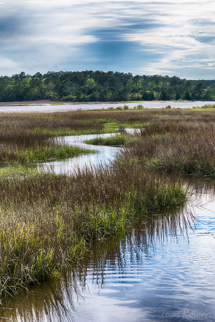
LK_20170408_0170_HDR-sm
It will all be under water soon.

Cherry Grove Fishing Pier
Life on Mars #oceanislebeach #lowtide #2012 #photooftheday #bestoftheday #igersnc #northcarolina
LK_20140605_0035_HDR-sm
Topographic Map of S Middleton Dr NW, Calabash, NC, USA
Find elevation by address:

Places near S Middleton Dr NW, Calabash, NC, USA:
203 S Middleton Dr Nw
191 S Middleton Dr Nw
262 S Middleton Dr Nw
106 Ravennaside Dr Nw
119 Ravennaside Dr Nw
South Middleton Drive Northwest
185 Ravennaside Dr Nw
206 Ravennaside Dr Nw
Brunswick Plantation & Golf Links
1273 N Middleton Dr Nw
1265 N Middleton Dr Nw
1396 Pennington Dr Nw #838
1427 Courtland Pl Nw
1420 Courtland Pl Nw
1449 Courtland Pl Nw #909
1449 Courtland Pl Nw #909
1414 Pennington Dr Nw #842
1414 Pennington Dr Nw #842
8855 Radcliff Dr Nw
1430 Pennington Dr Nw #895
Recent Searches:
- Elevation of Leguwa, Nepal
- Elevation of County Rd, Enterprise, AL, USA
- Elevation of Kolchuginsky District, Vladimir Oblast, Russia
- Elevation of Shustino, Vladimir Oblast, Russia
- Elevation of Lampiasi St, Sarasota, FL, USA
- Elevation of Elwyn Dr, Roanoke Rapids, NC, USA
- Elevation of Congressional Dr, Stevensville, MD, USA
- Elevation of Bellview Rd, McLean, VA, USA
- Elevation of Stage Island Rd, Chatham, MA, USA
- Elevation of Shibuya Scramble Crossing, 21 Udagawacho, Shibuya City, Tokyo -, Japan