Elevation of S Medical Dr, Mt Pleasant, UT, USA
Location: United States > Utah > Sanpete County > Mount Pleasant >
Longitude: -111.46104
Latitude: 39.5313536
Elevation: 1801m / 5909feet
Barometric Pressure: 81KPa
Elevation Map:
Satellite Map:
Related Photos:
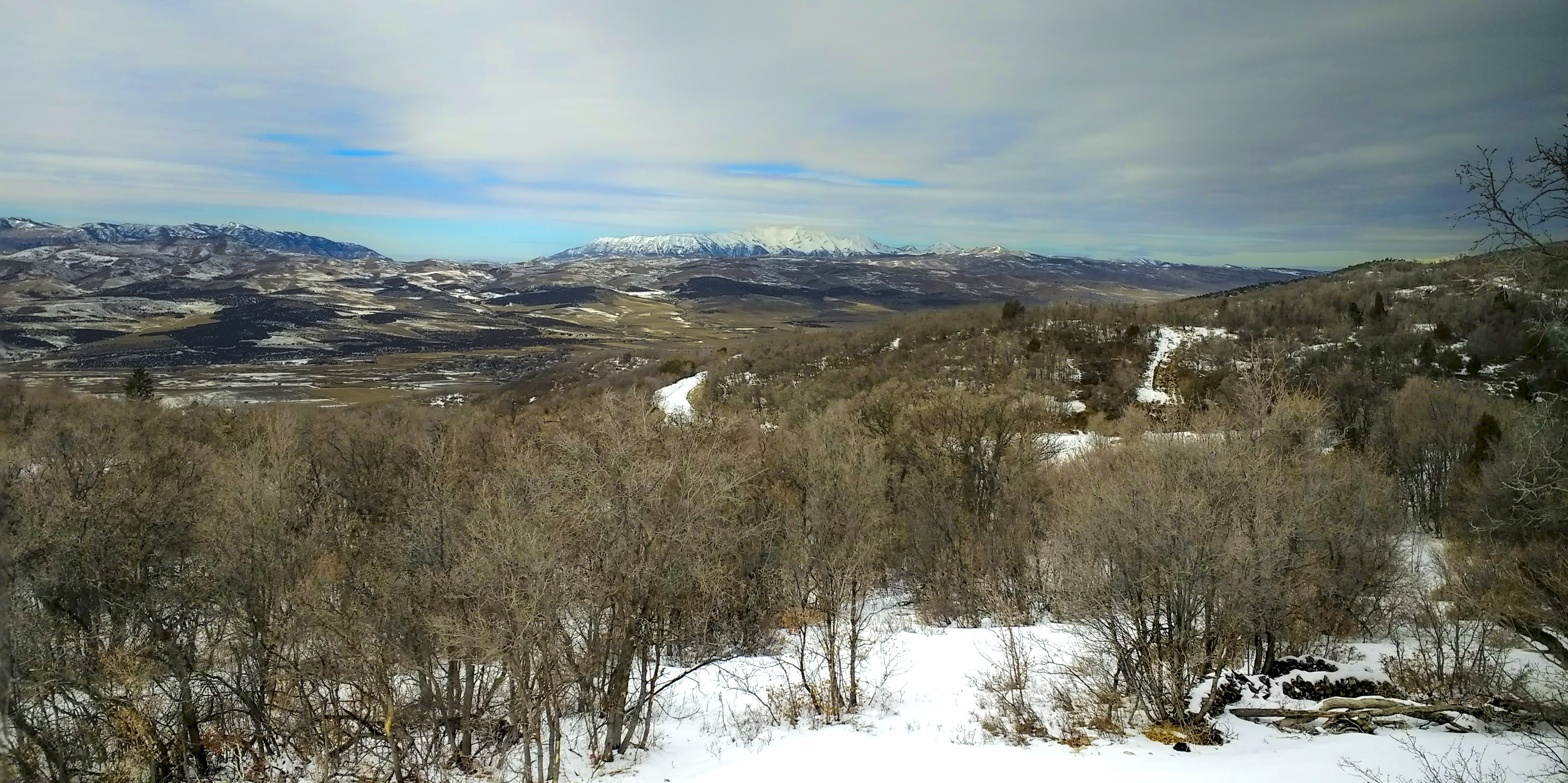
Mount Nebo on a winter's day
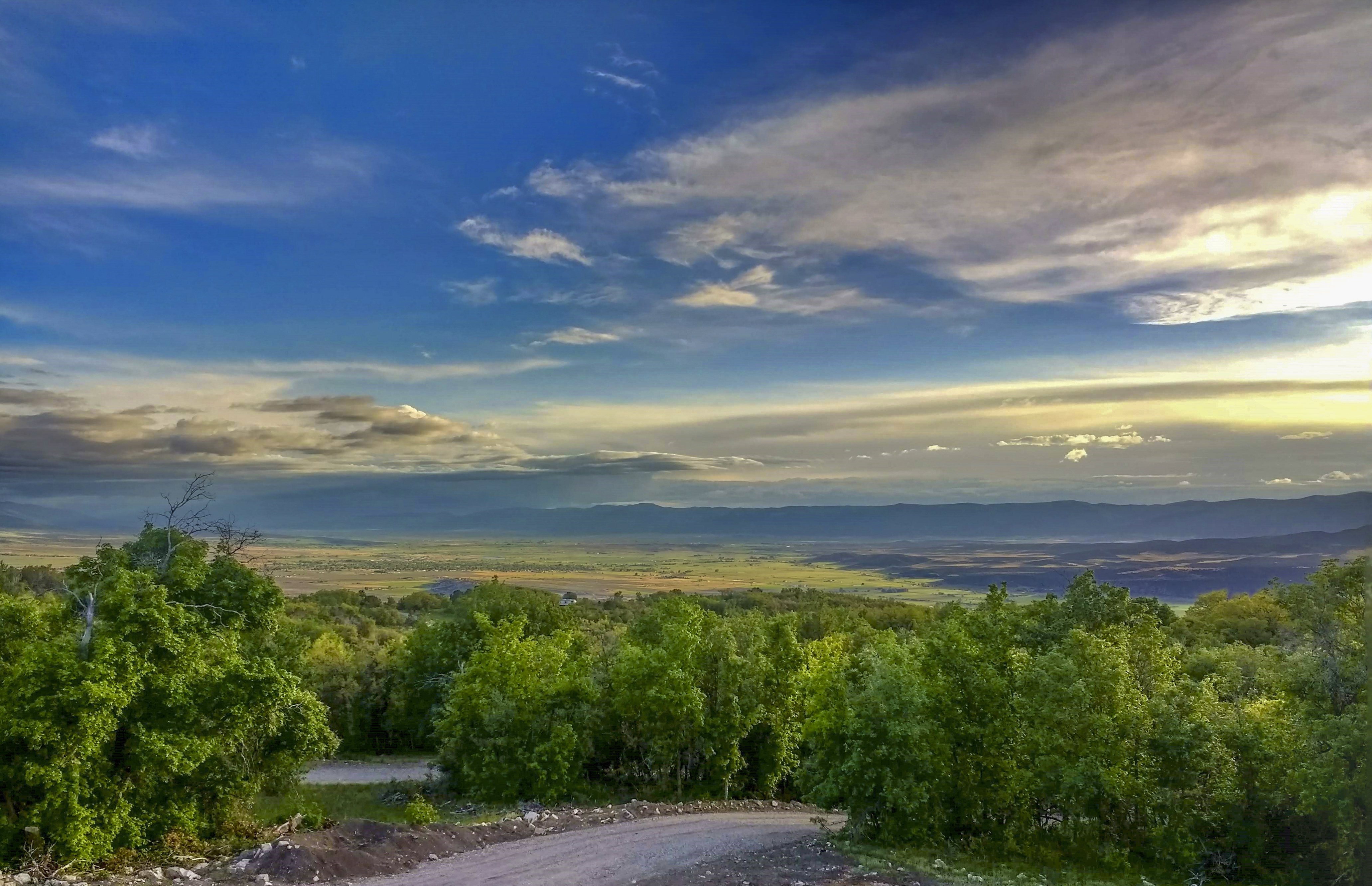
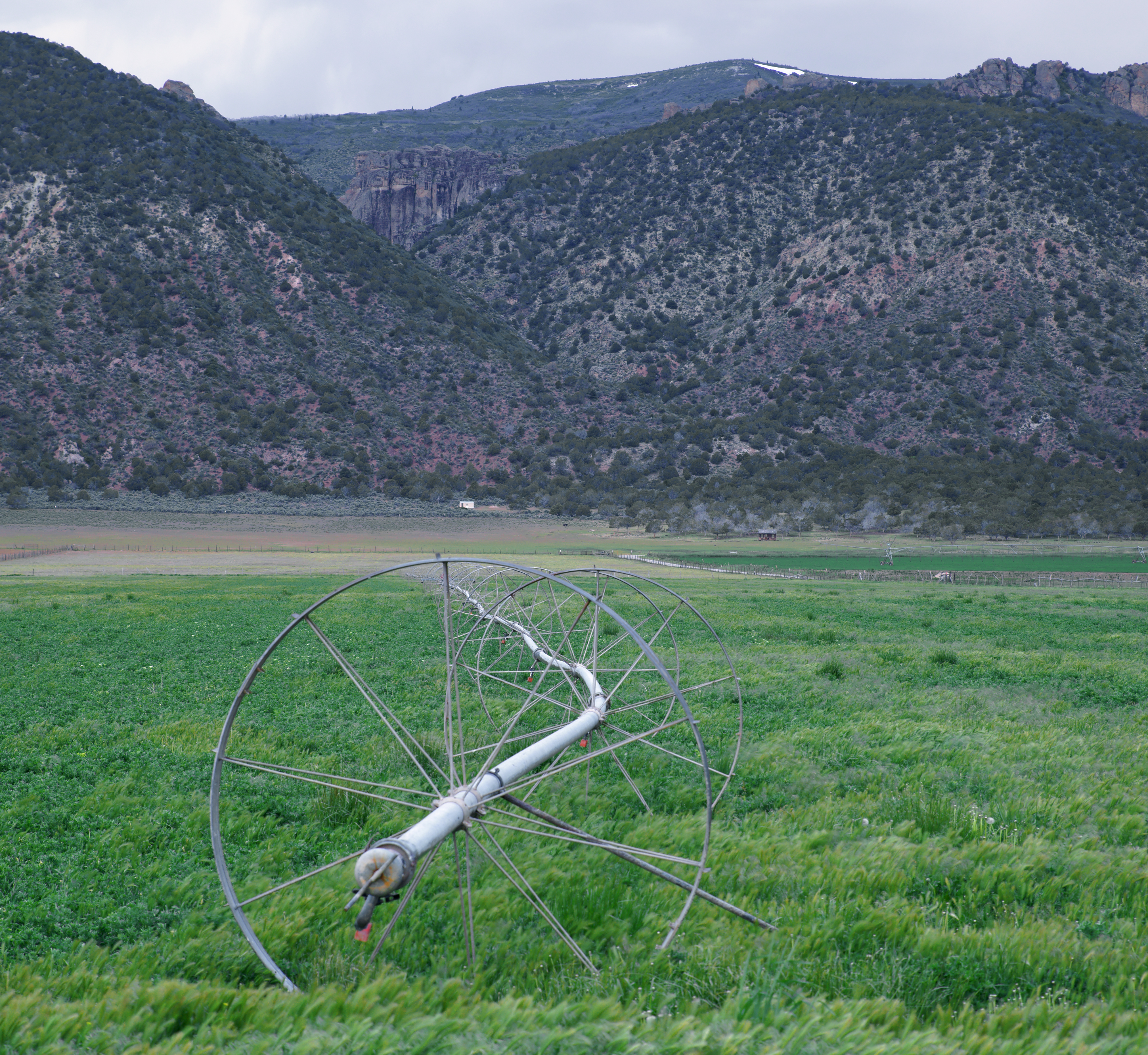
Sanpete Springtime

Mnt. Pleasant

Friday drive
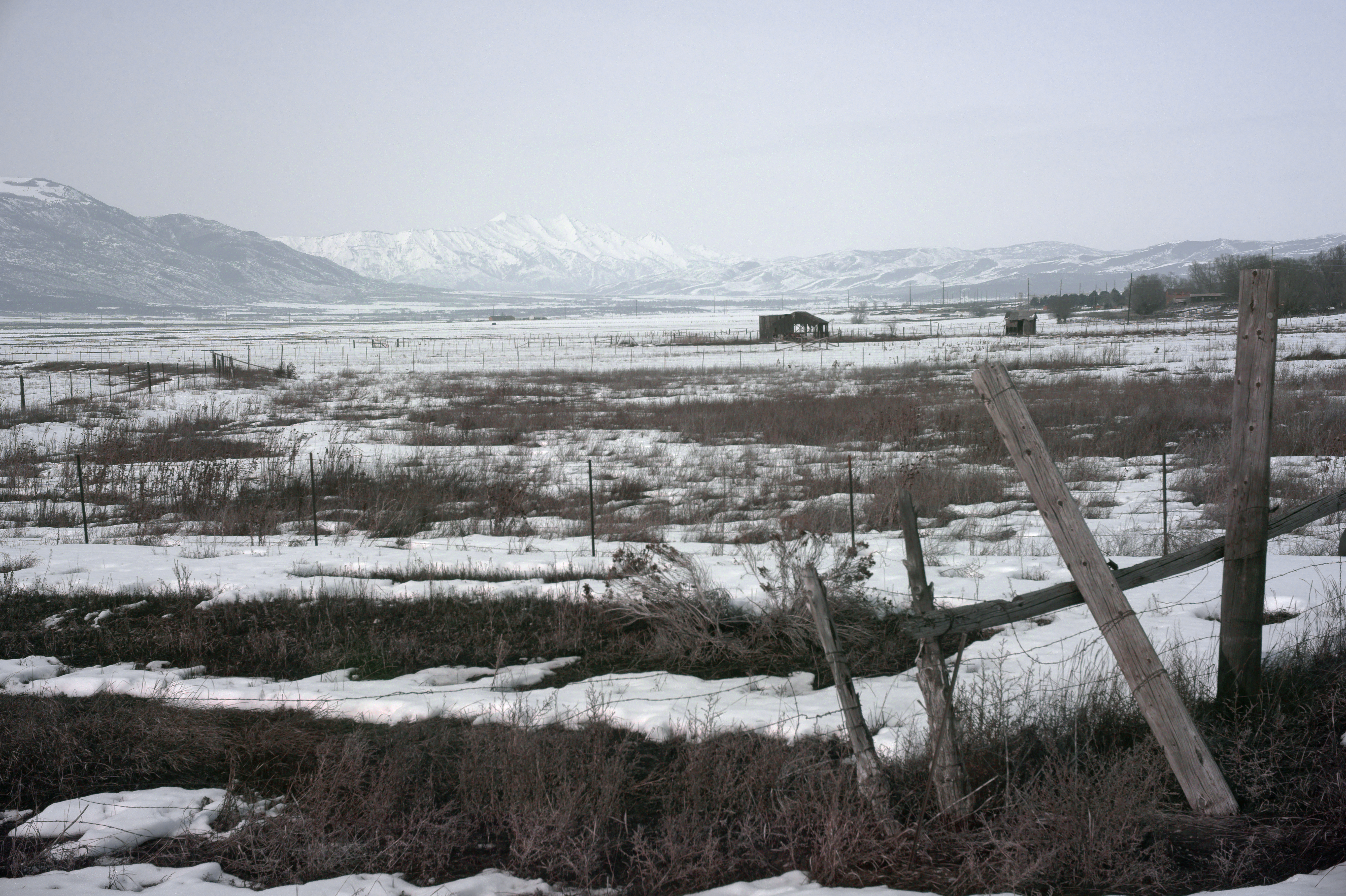
View to Mount Nebo
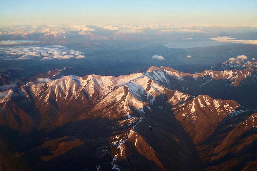
Out of Utah

Spring Break
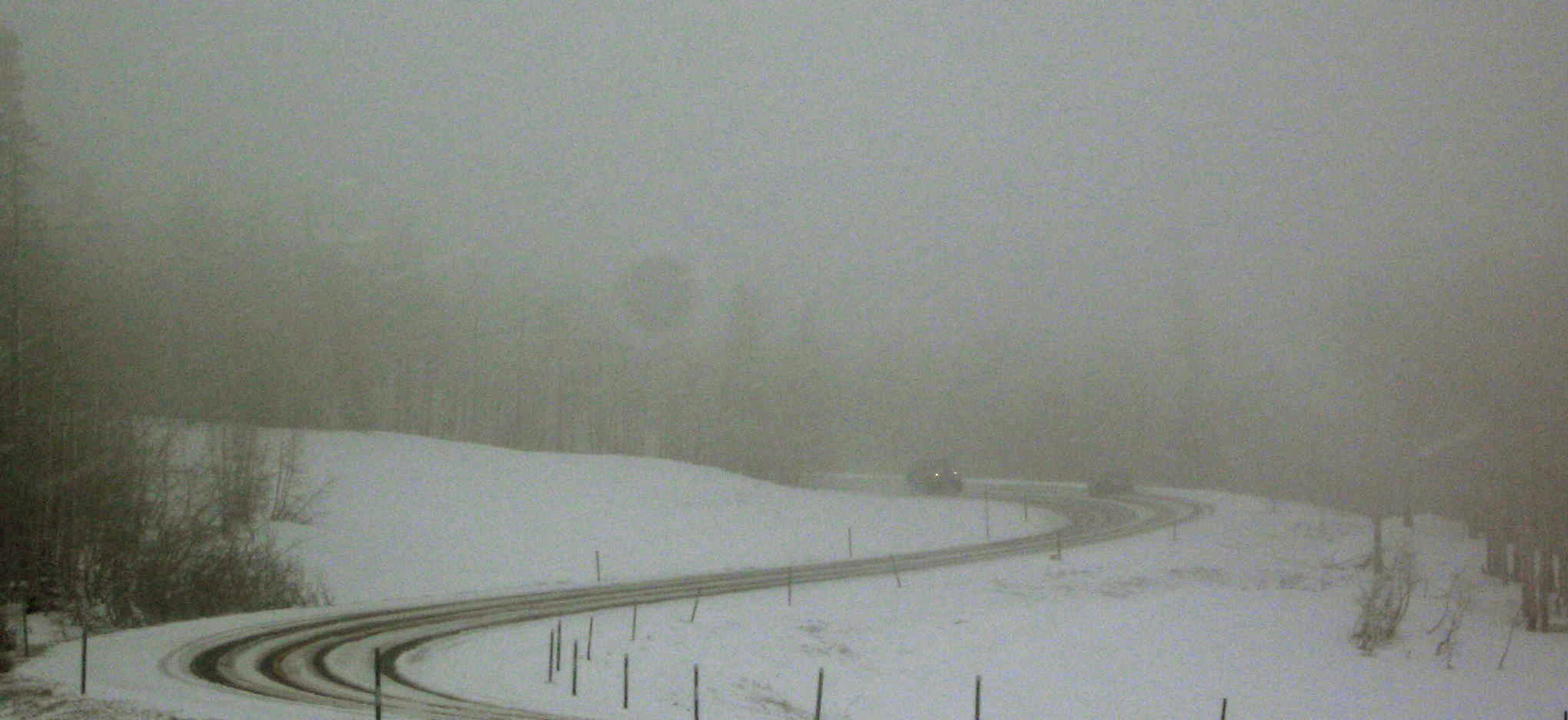
Plowing Downhill
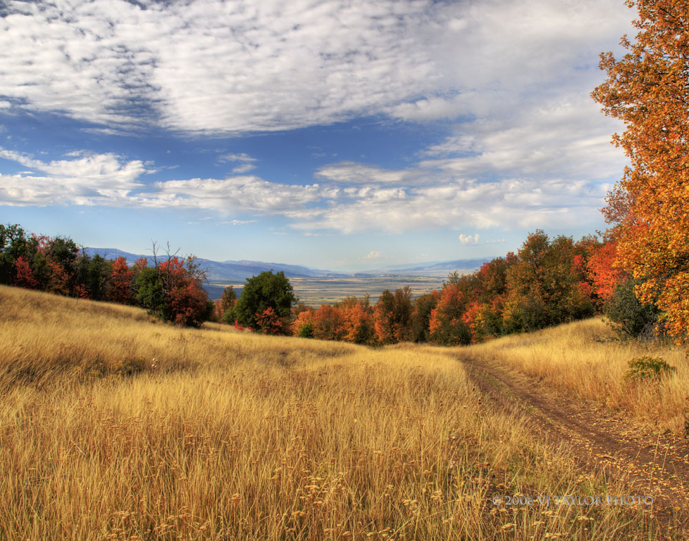
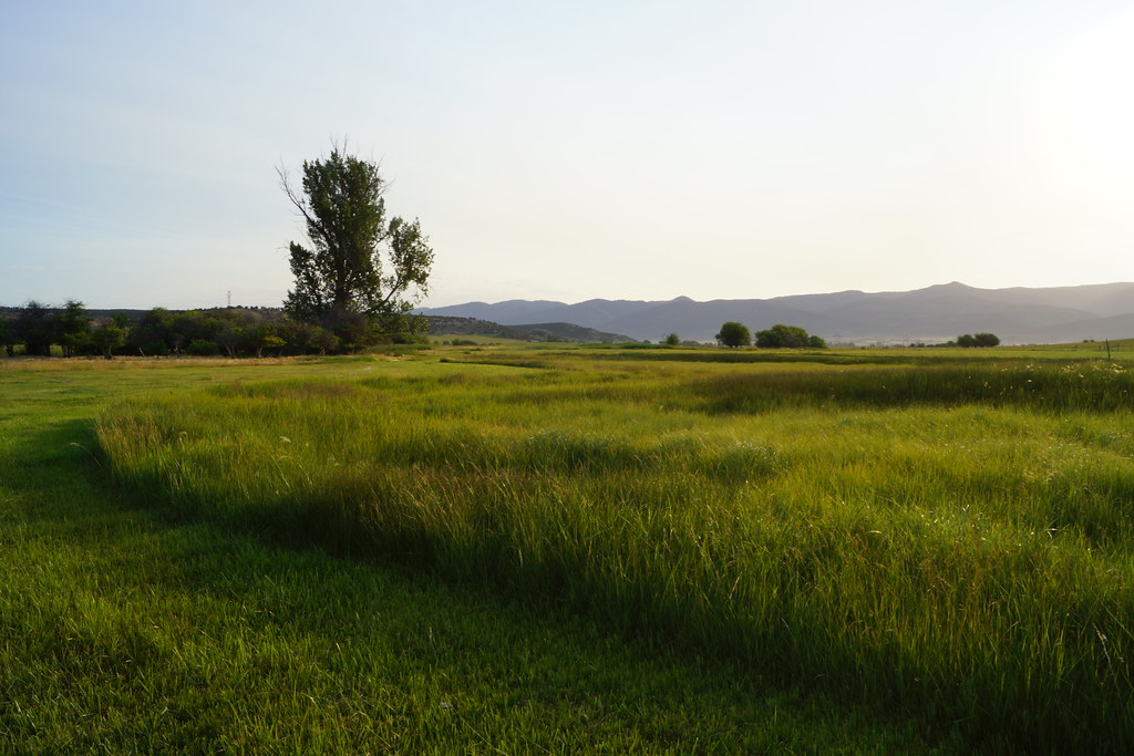
Mountain Meadow

In Silent Reproach
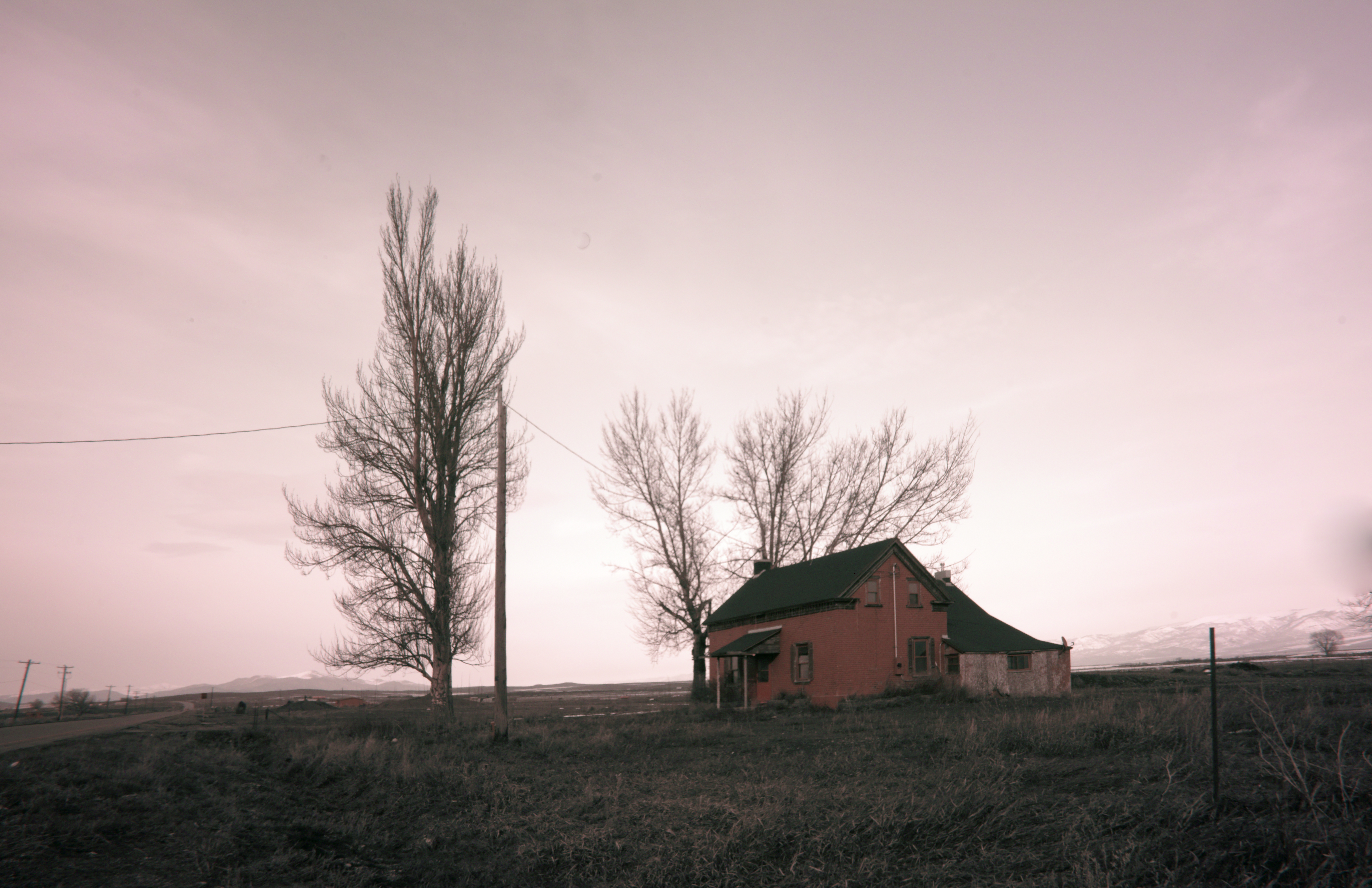
The Last House
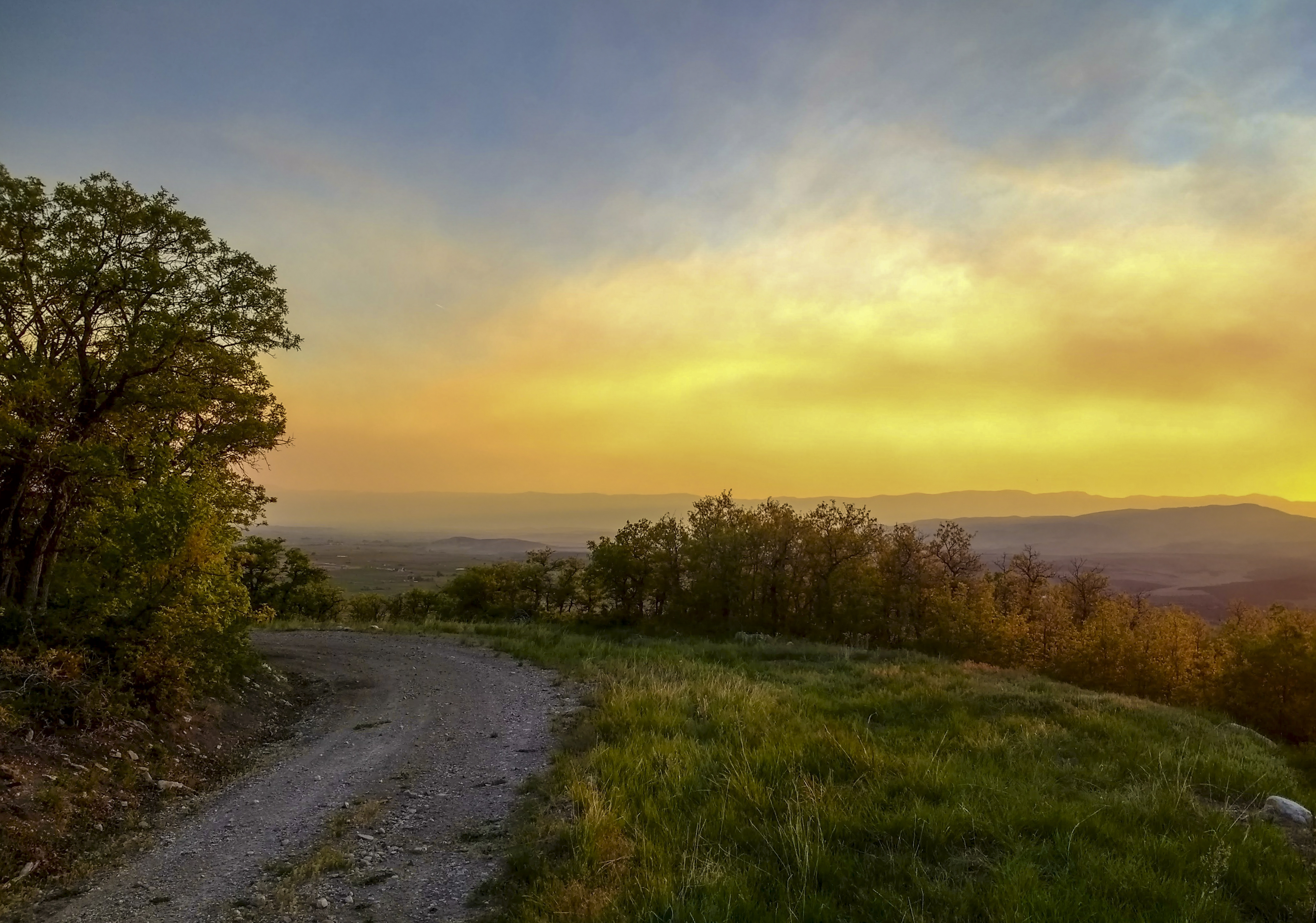
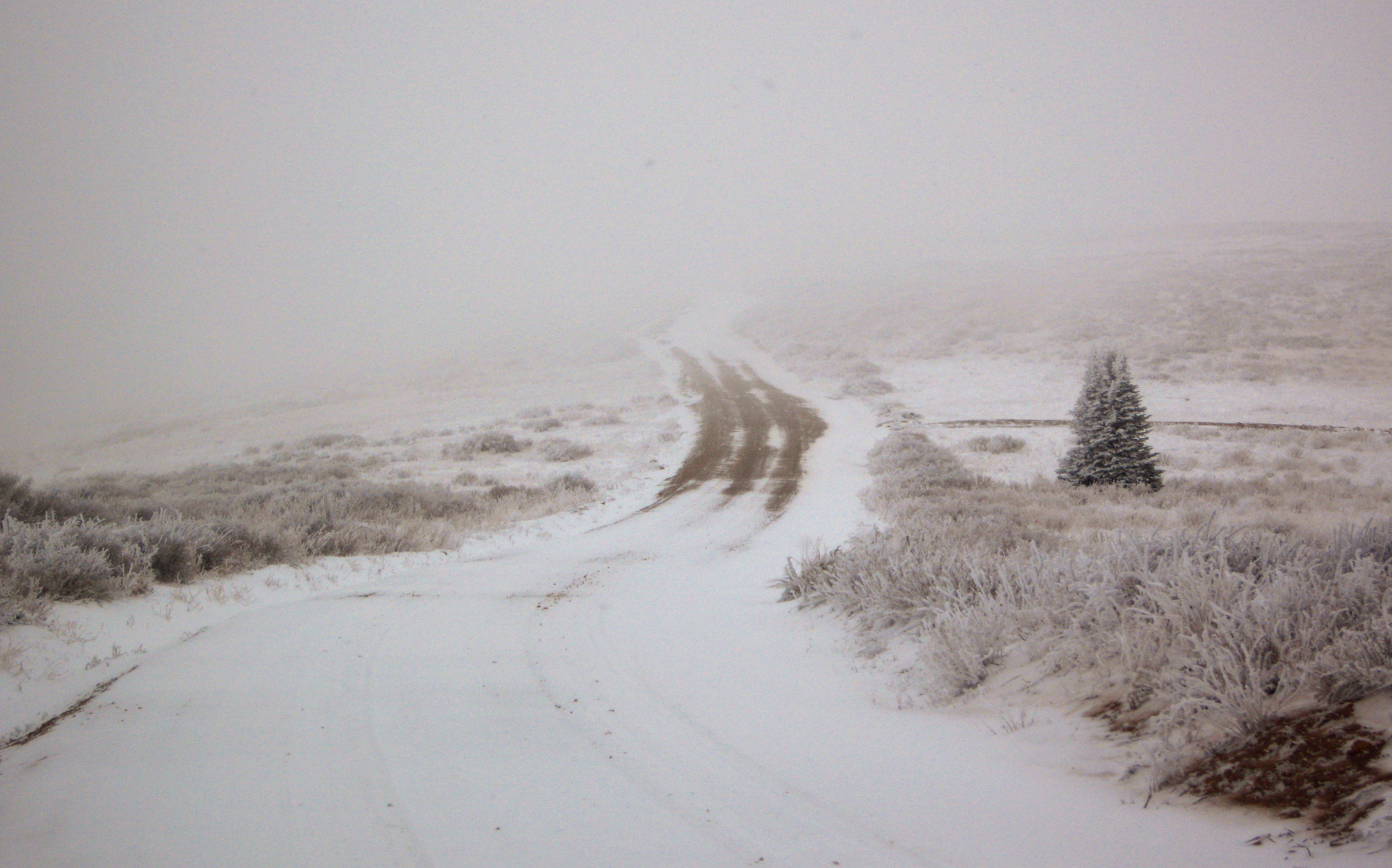
The road less taken
Future Bounty

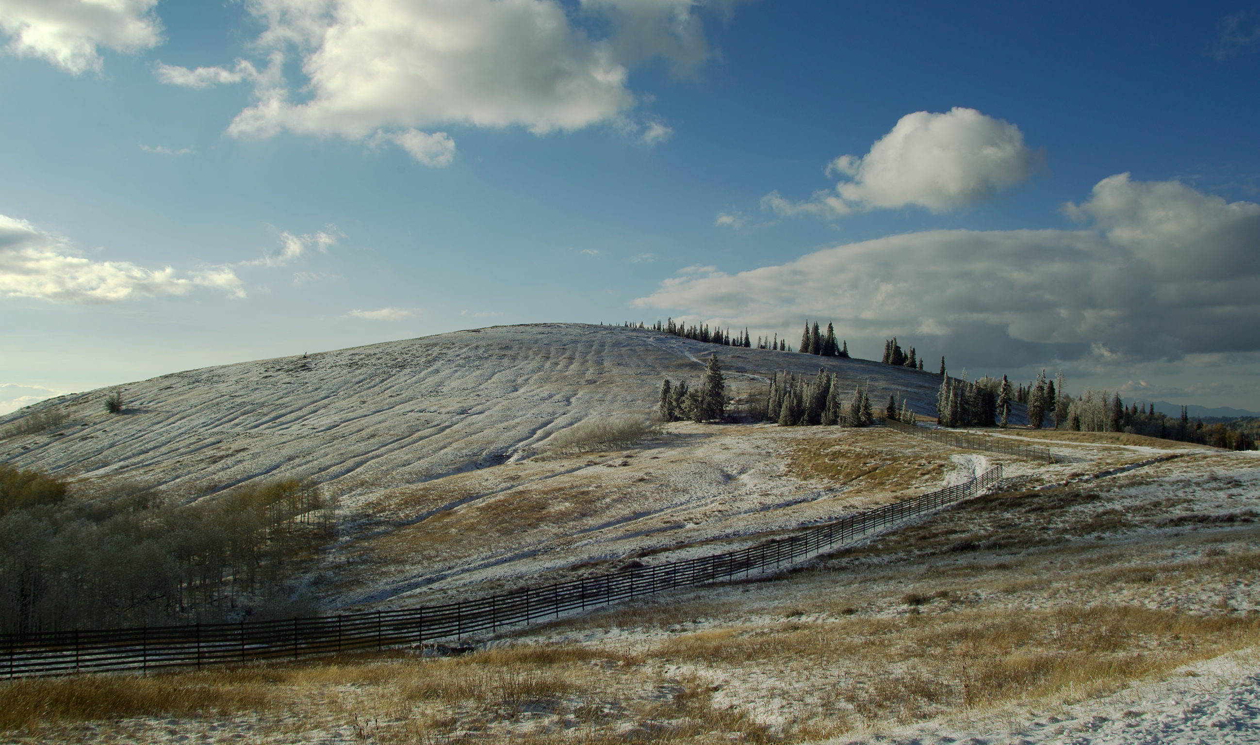
A Brushing of Snow

A Memory of Bright Days

Sanpete sunset

Mt Pleasant Utah
Going Nowhere

The Shooting Bins
A Furrowed Hill
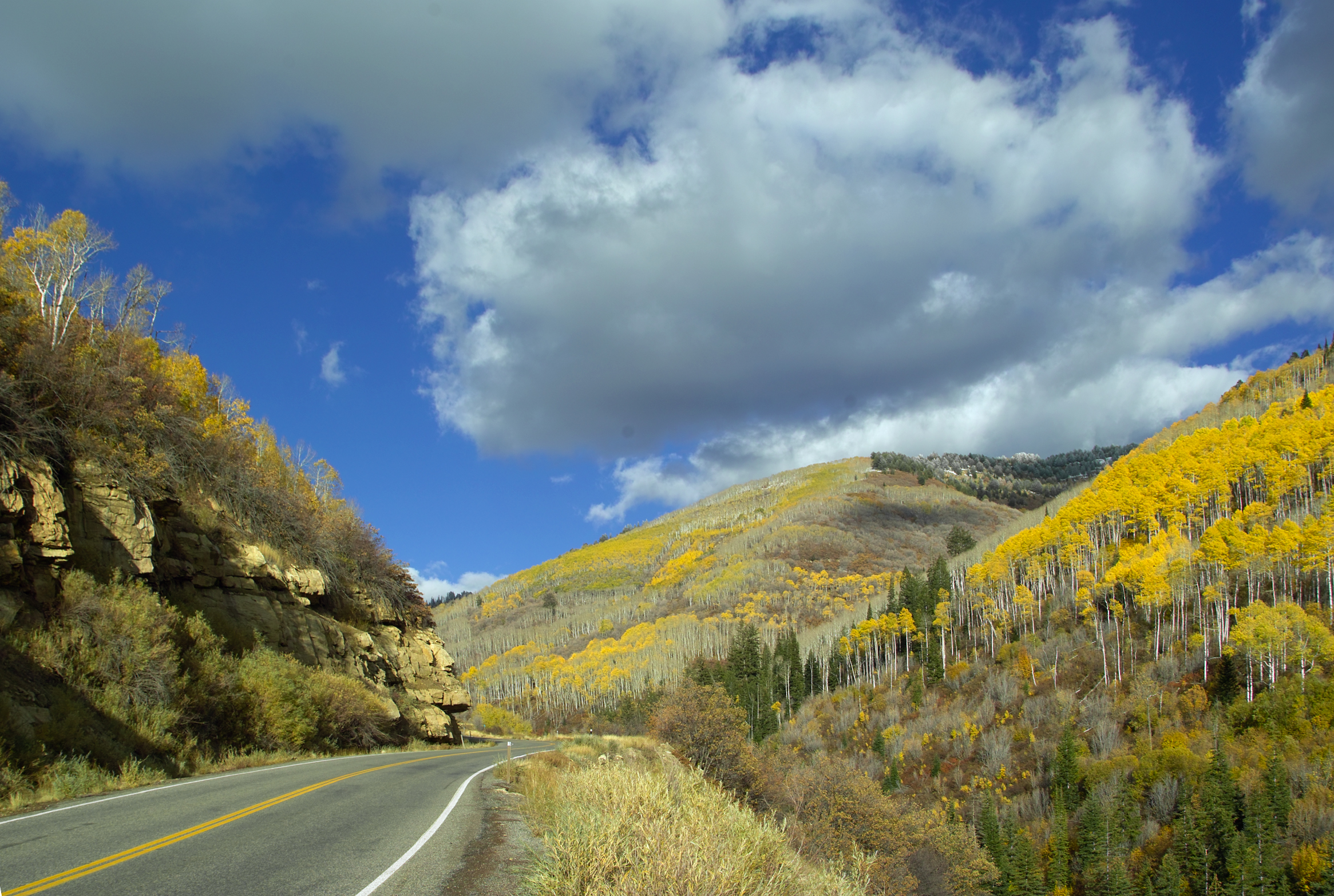
Fall Color in Fairview Canyon
Alert Under the Mountain

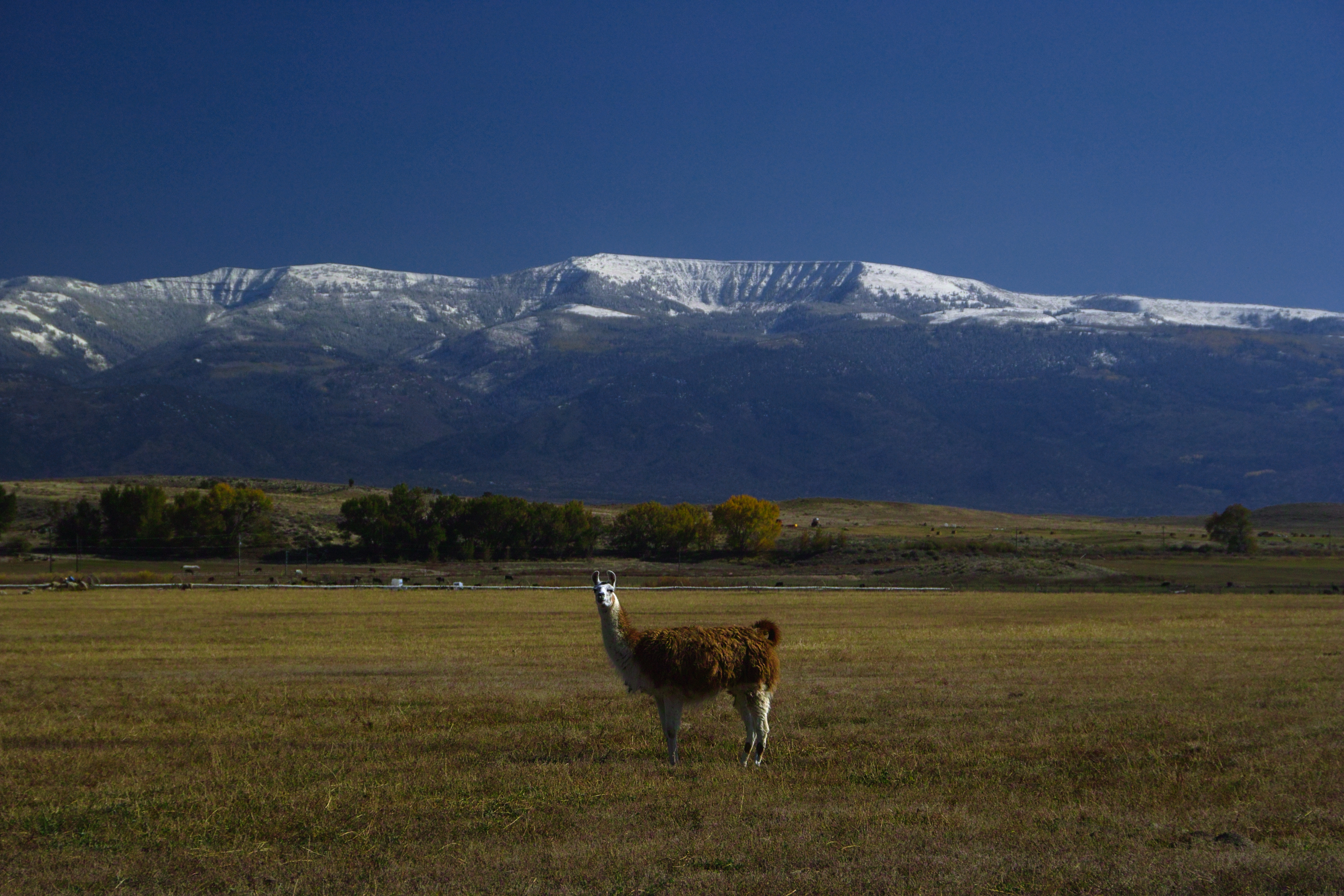
On Watch
Mt Pleasant Utah
Topographic Map of S Medical Dr, Mt Pleasant, UT, USA
Find elevation by address:

Places near S Medical Dr, Mt Pleasant, UT, USA:
Mount Pleasant
19 N State St, Mt Pleasant, UT, USA
E N, Mt Pleasant, UT, USA
Spring City
540 S 700 E
15215 N 12650
Fairview
265 E 100 S
Moroni
Mt Pleasant, UT, USA
76 E Center St
Flat Canyon Campground
Fairview, UT, USA
N E, Helper, UT, USA
Big Mountain Campground
US-89, Spanish Fork, UT, USA
Dry Valley Road
Levan
E South 89 Hwy, Fairview, UT, USA
143 S 200 W
Recent Searches:
- Elevation of Pinewood Dr, New Bern, NC, USA
- Elevation of Mountain View, CA, USA
- Elevation of Foligno, Province of Perugia, Italy
- Elevation of Blauwestad, Netherlands
- Elevation of Bella Terra Blvd, Estero, FL, USA
- Elevation of Estates Loop, Priest River, ID, USA
- Elevation of Woodland Oak Pl, Thousand Oaks, CA, USA
- Elevation of Brownsdale Rd, Renfrew, PA, USA
- Elevation of Corcoran Ln, Suffolk, VA, USA
- Elevation of Mamala II, Sariaya, Quezon, Philippines