Elevation of S May St, Madisonville, TX, USA
Location: United States > Texas > Madison County >
Longitude: -95.910680
Latitude: 30.9499281
Elevation: 83m / 272feet
Barometric Pressure: 100KPa
Elevation Map:
Satellite Map:
Related Photos:

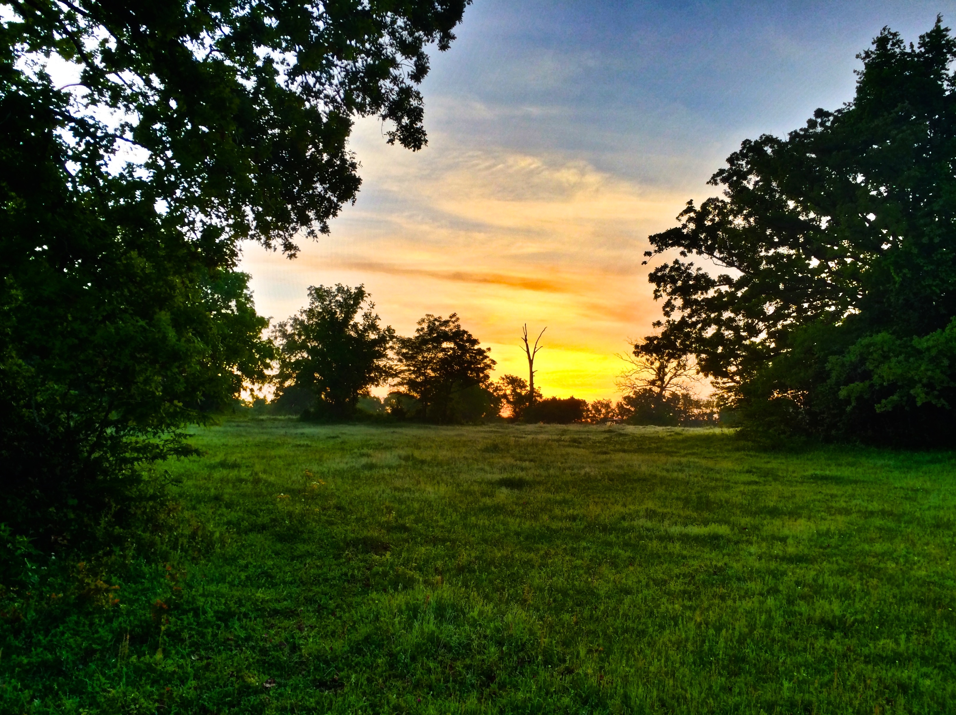
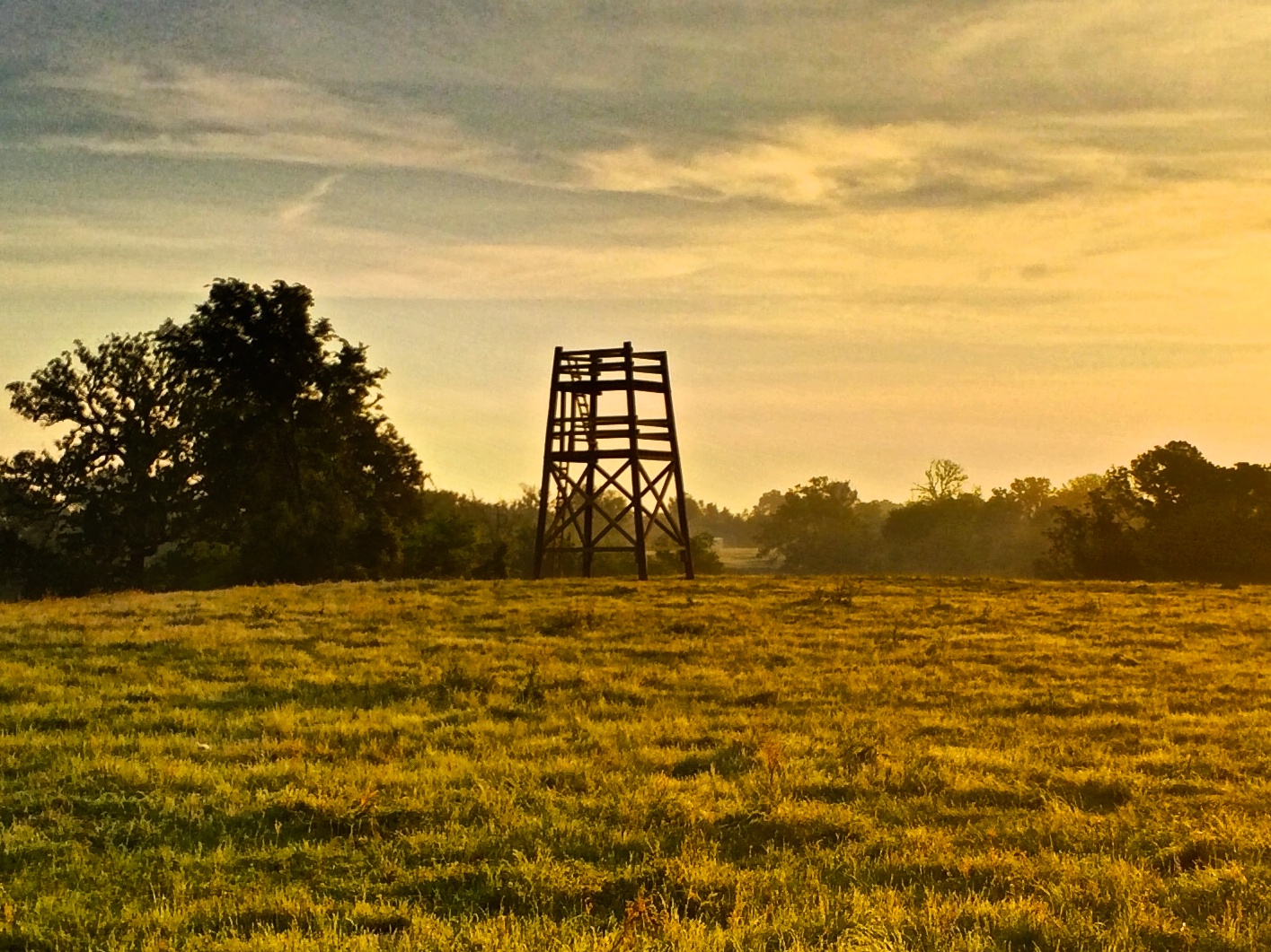
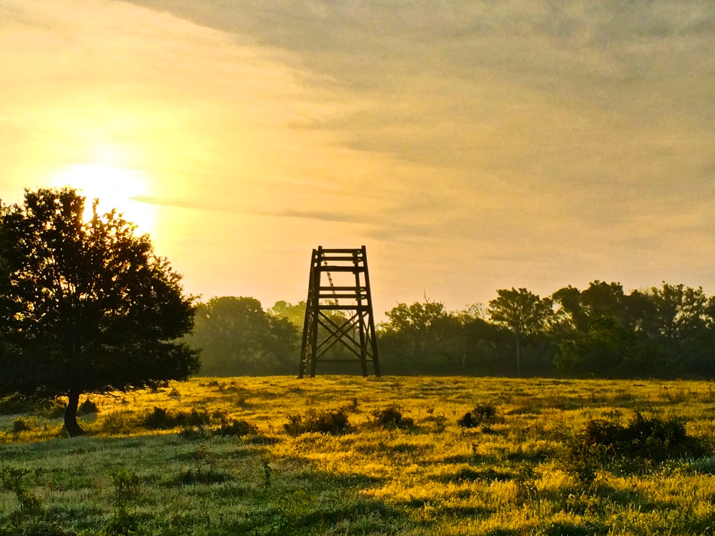
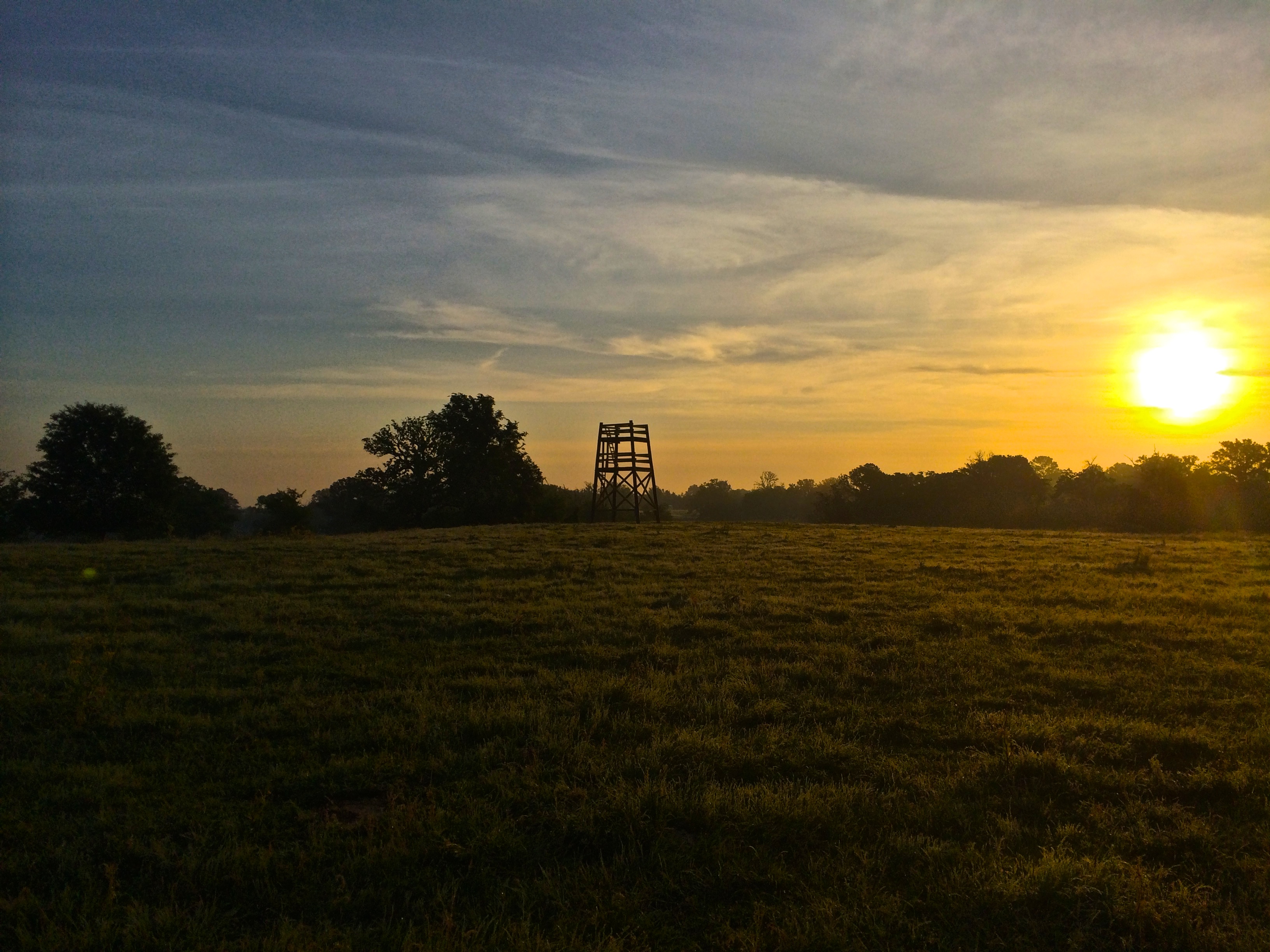
A Sunday Sunrise

Walkers Cafe
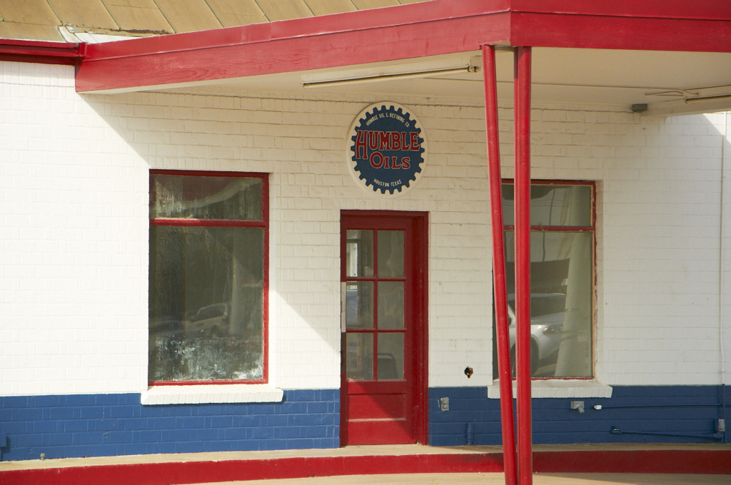
Humble Oils

Shroom!

TX Burger
“Once a woman has given you her heart, you can never get rid of the rest of her.”

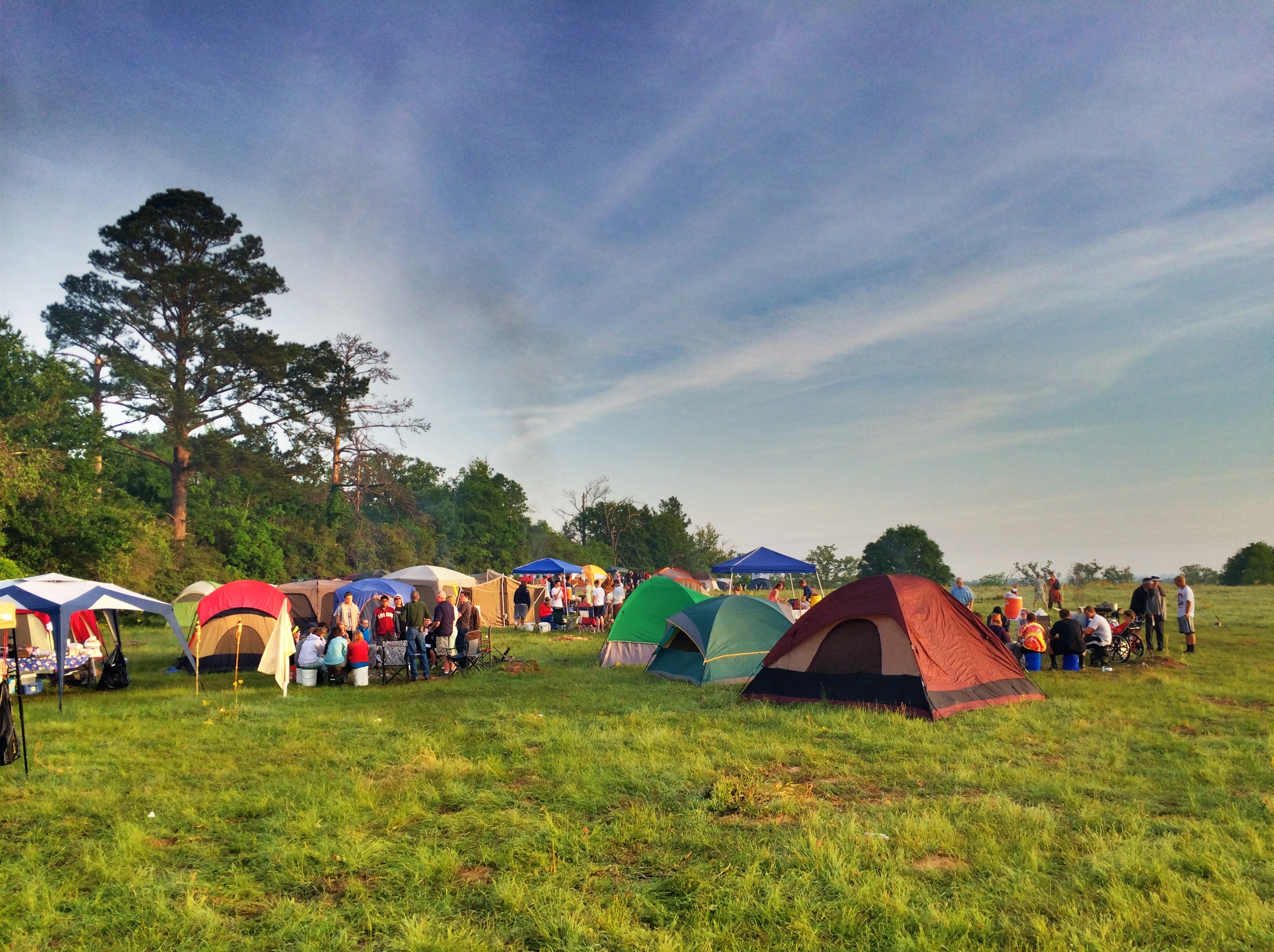
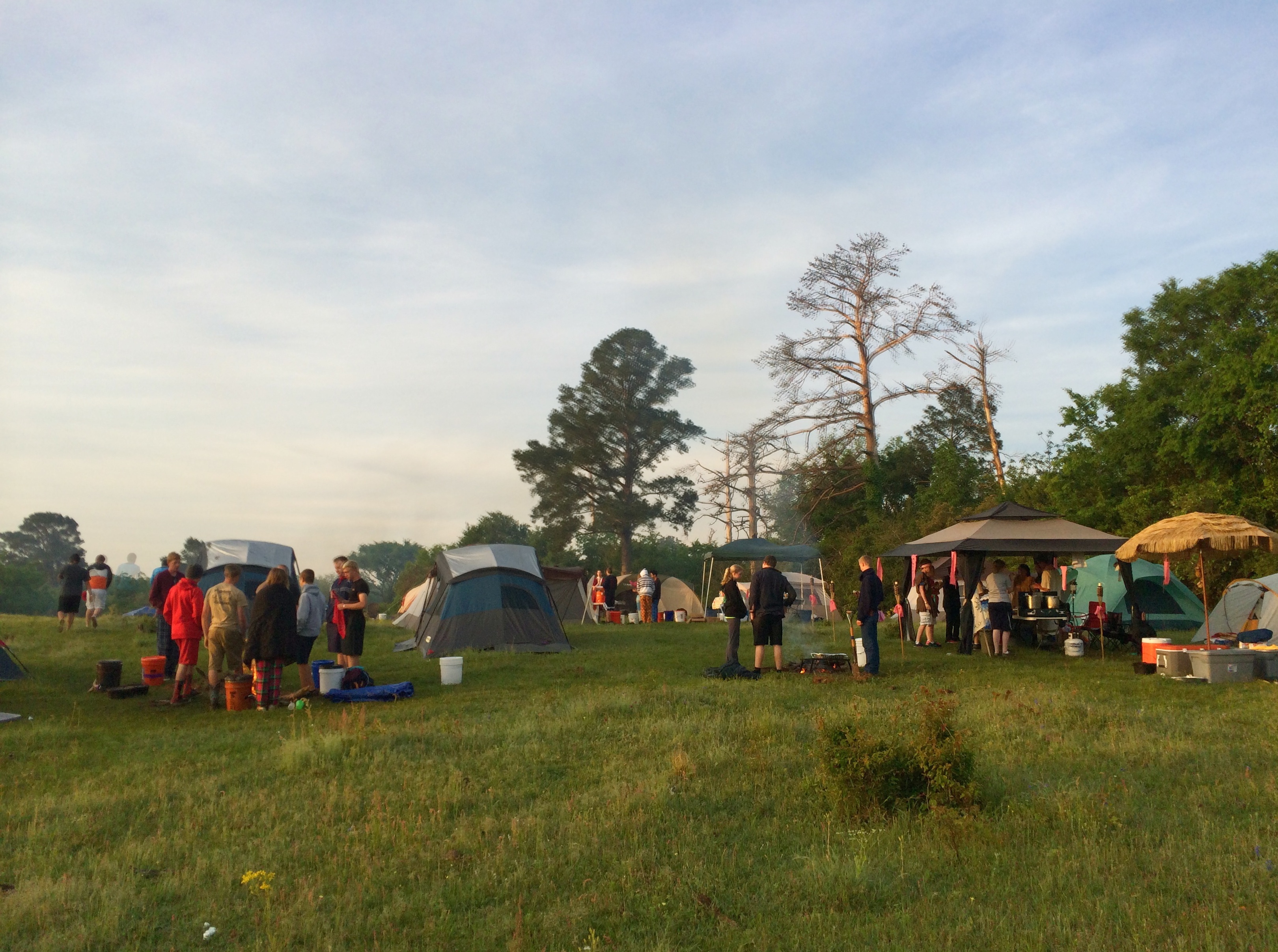
YC2014 Saturday 5

YC2014 Saturday 2
Old San Antonio Road (Madison County, Texas)
Old San Antonio Road (Madison County, Texas)
YC2014 Saturday 4
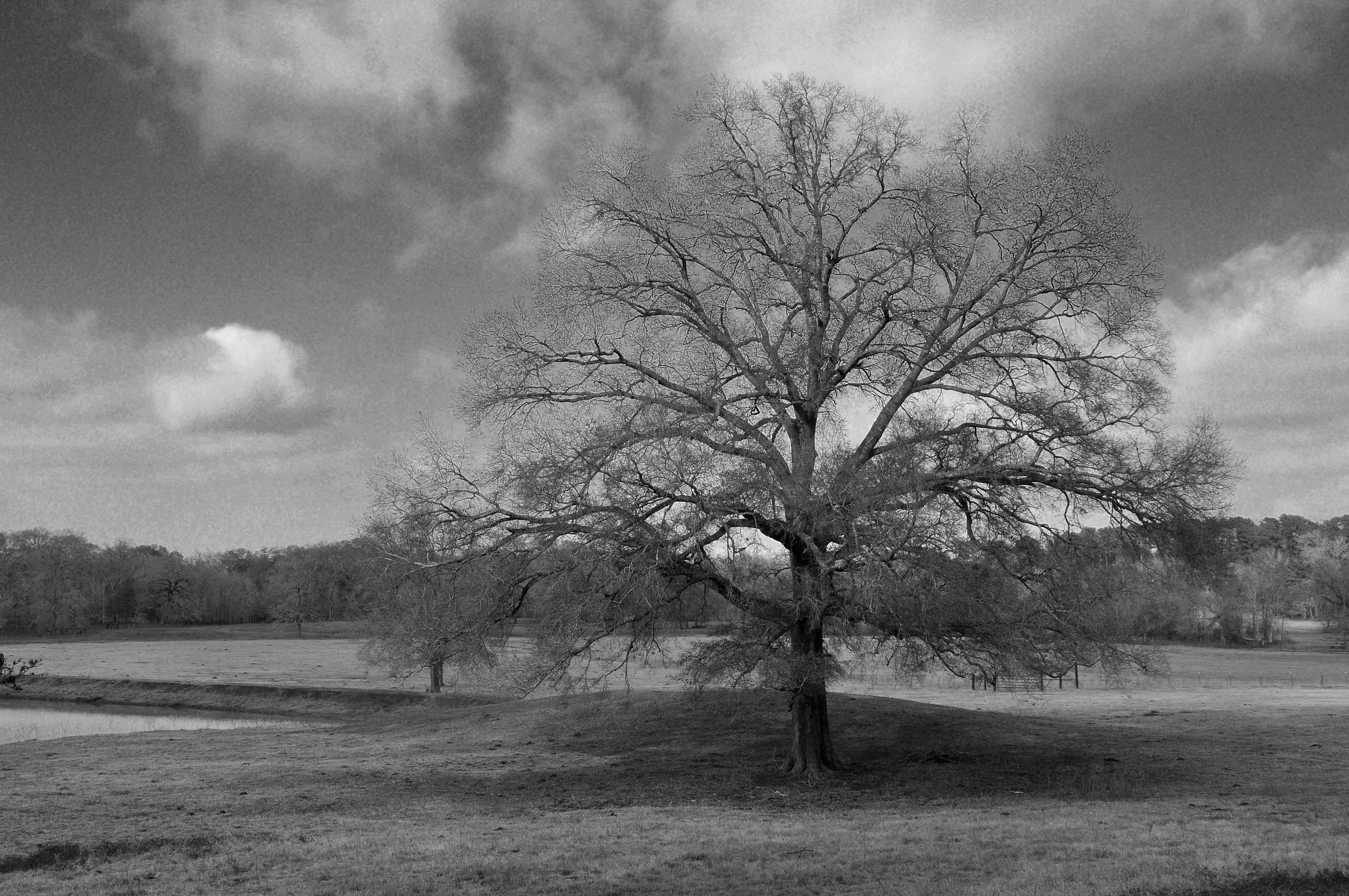
A Tree on a Winter Day
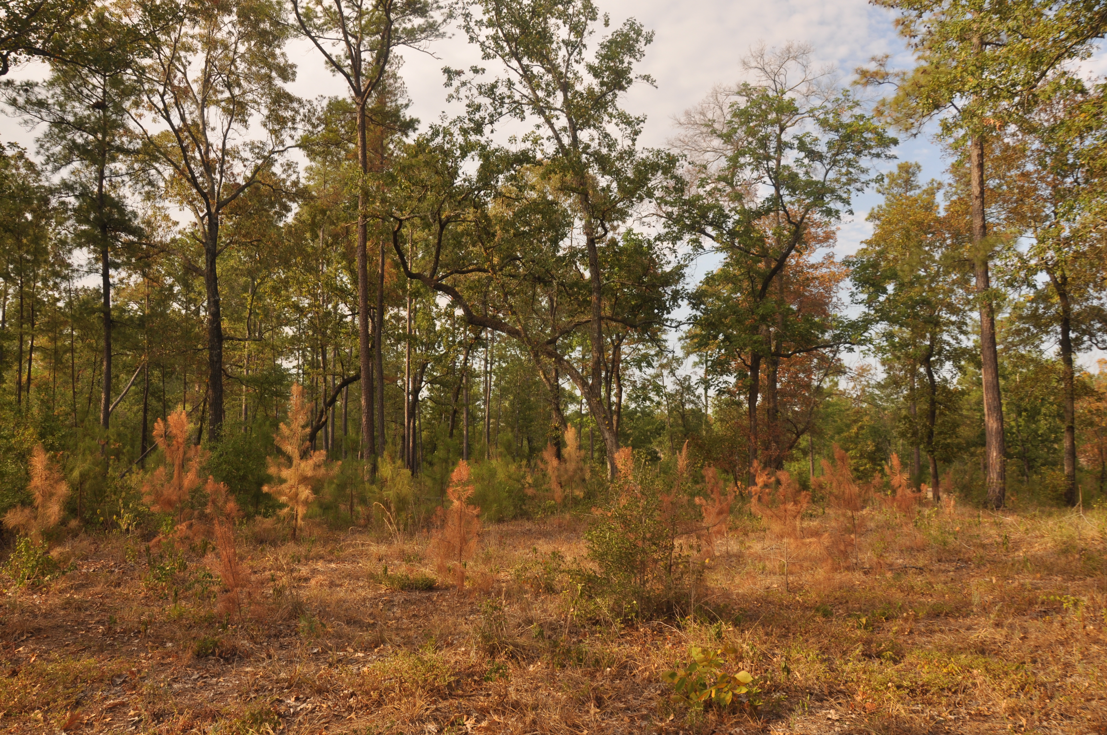
A Stand of (Dying) Trees

YC2014 Saturday 29

YC2014 Saturday 13

YC2014 Saturday 11
YC2014 Saturday 24
YC2014 Saturday 22
YC2014 Saturday 17

IMG_7820.CR2

YC2014 Saturday 19
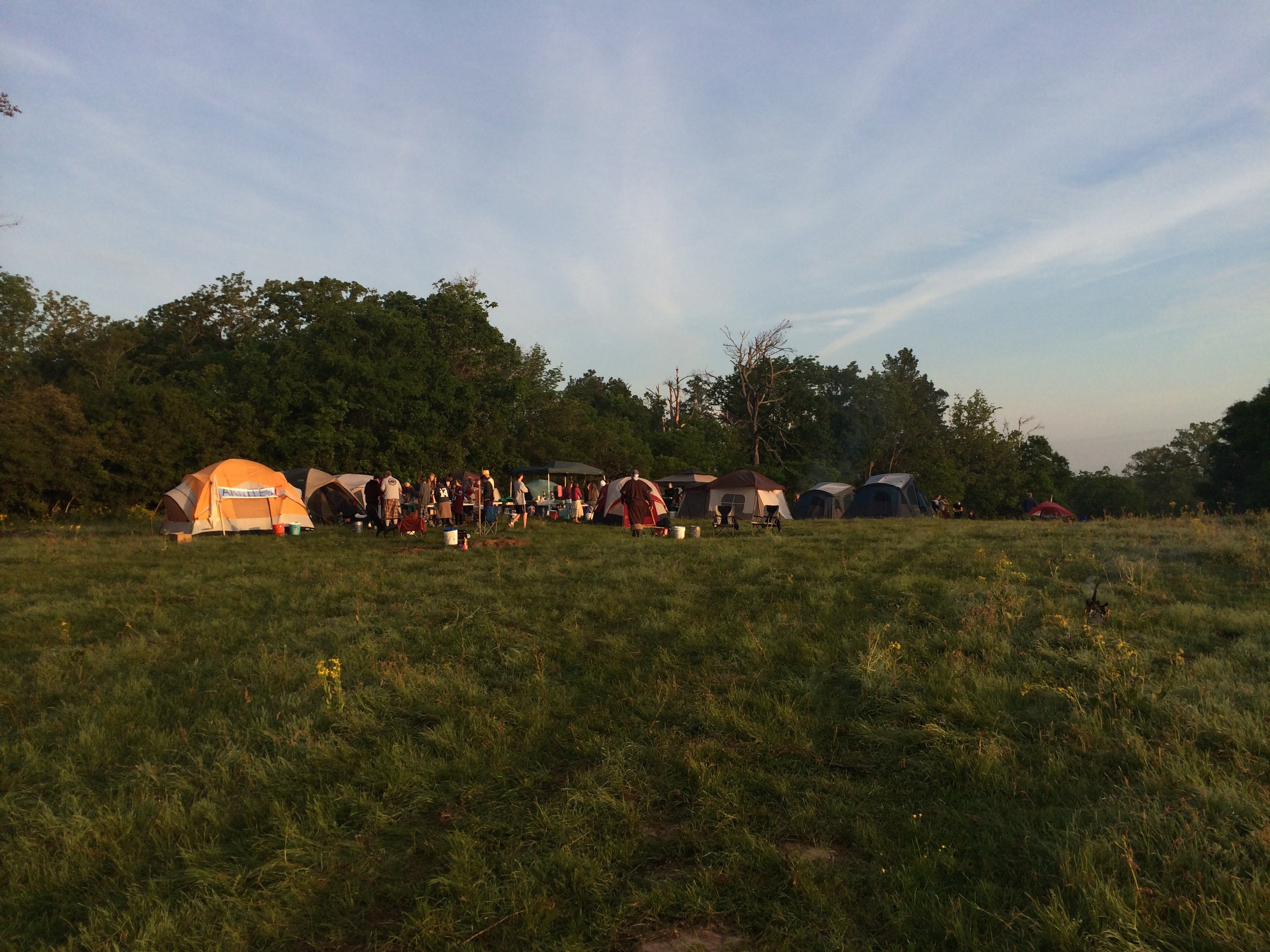
YC2014 Saturday 18
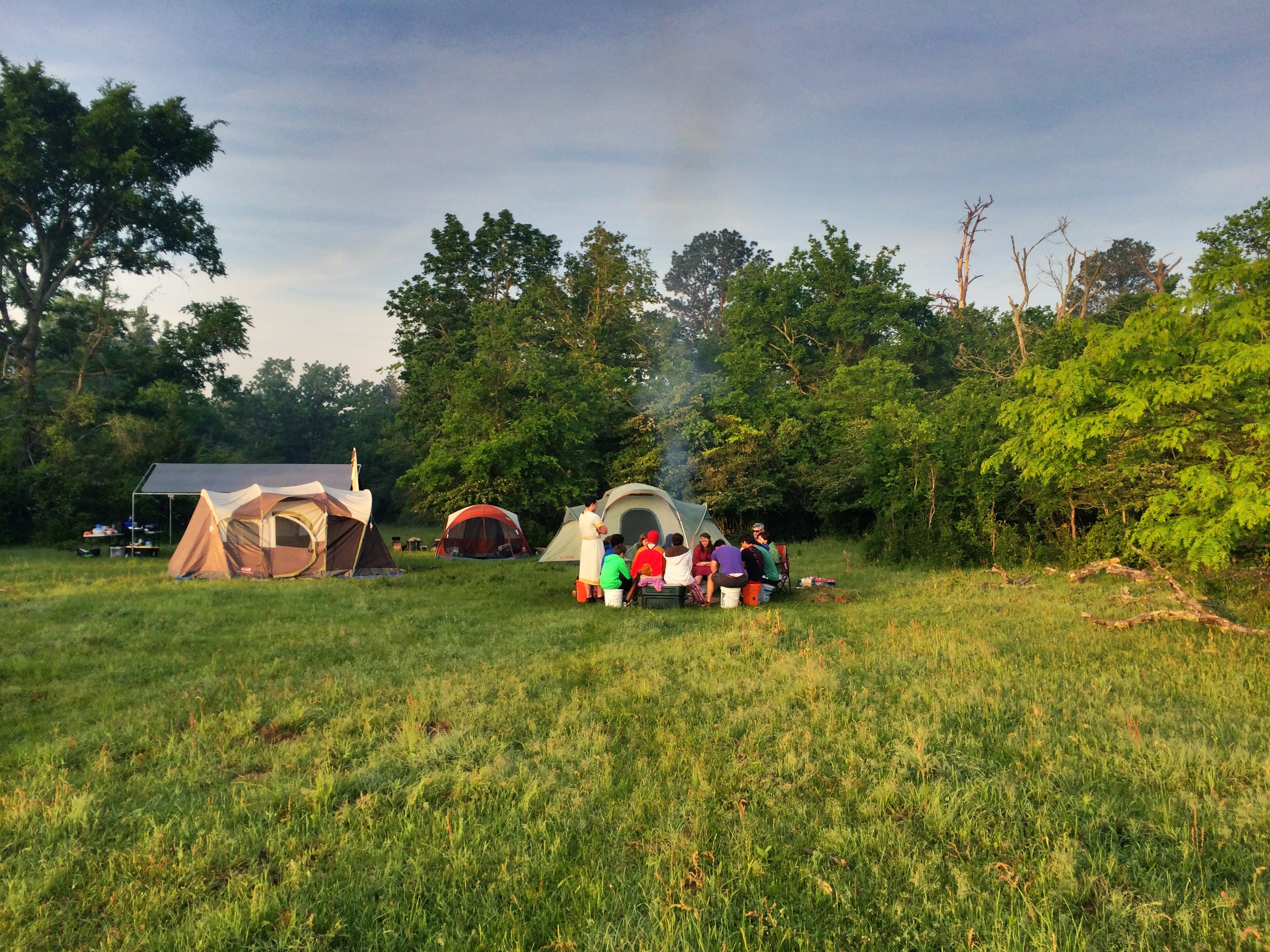
YC2014 Saturday 26
YC2014 Saturday 21

YC2014 Saturday 12
YC2014 Saturday 14
Topographic Map of S May St, Madisonville, TX, USA
Find elevation by address:

Places near S May St, Madisonville, TX, USA:
Madisonville
Madison County
FM, Normangee, TX, USA
Farm To Market Road 1428
3813 Hendrix Ln
9695 Wallace Rd
Farm to Market Rd, Midway, TX, USA
Midway
FM 39, Normangee, TX, USA
County Road 139
Leona
TX-75, Leona, TX, USA
Normangee
Normangee High School
TX-21, Crockett, TX, USA
Leon County
Flynn
Sunset
Hair Haven
209 Opal
Recent Searches:
- Elevation of Pykes Down, Ivybridge PL21 0BY, UK
- Elevation of Jalan Senandin, Lutong, Miri, Sarawak, Malaysia
- Elevation of Bilohirs'k
- Elevation of 30 Oak Lawn Dr, Barkhamsted, CT, USA
- Elevation of Luther Road, Luther Rd, Auburn, CA, USA
- Elevation of Unnamed Road, Respublika Severnaya Osetiya — Alaniya, Russia
- Elevation of Verkhny Fiagdon, North Ossetia–Alania Republic, Russia
- Elevation of F. Viola Hiway, San Rafael, Bulacan, Philippines
- Elevation of Herbage Dr, Gulfport, MS, USA
- Elevation of Lilac Cir, Haldimand, ON N3W 2G9, Canada