Elevation of S Main St, Winamac, IN, USA
Location: United States > Indiana > Pulaski County > Indian Creek Township >
Longitude: -86.658248
Latitude: 40.975132
Elevation: 210m / 689feet
Barometric Pressure: 99KPa
Elevation Map:
Satellite Map:
Related Photos:
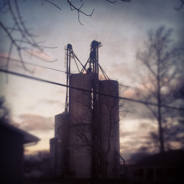
I do enjoy the view from my backyard. #sutro #morning
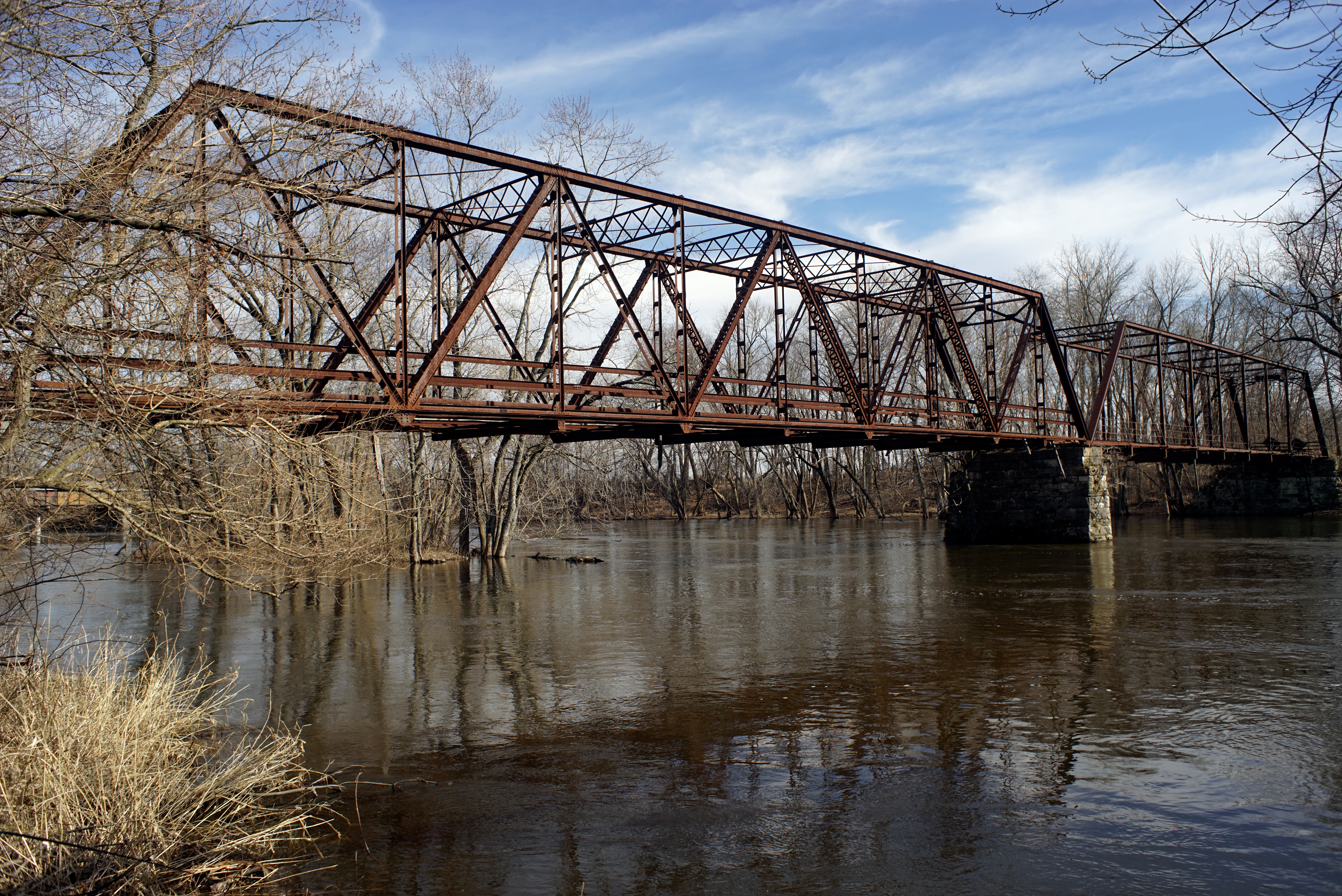
Wasson's Ford Bridge
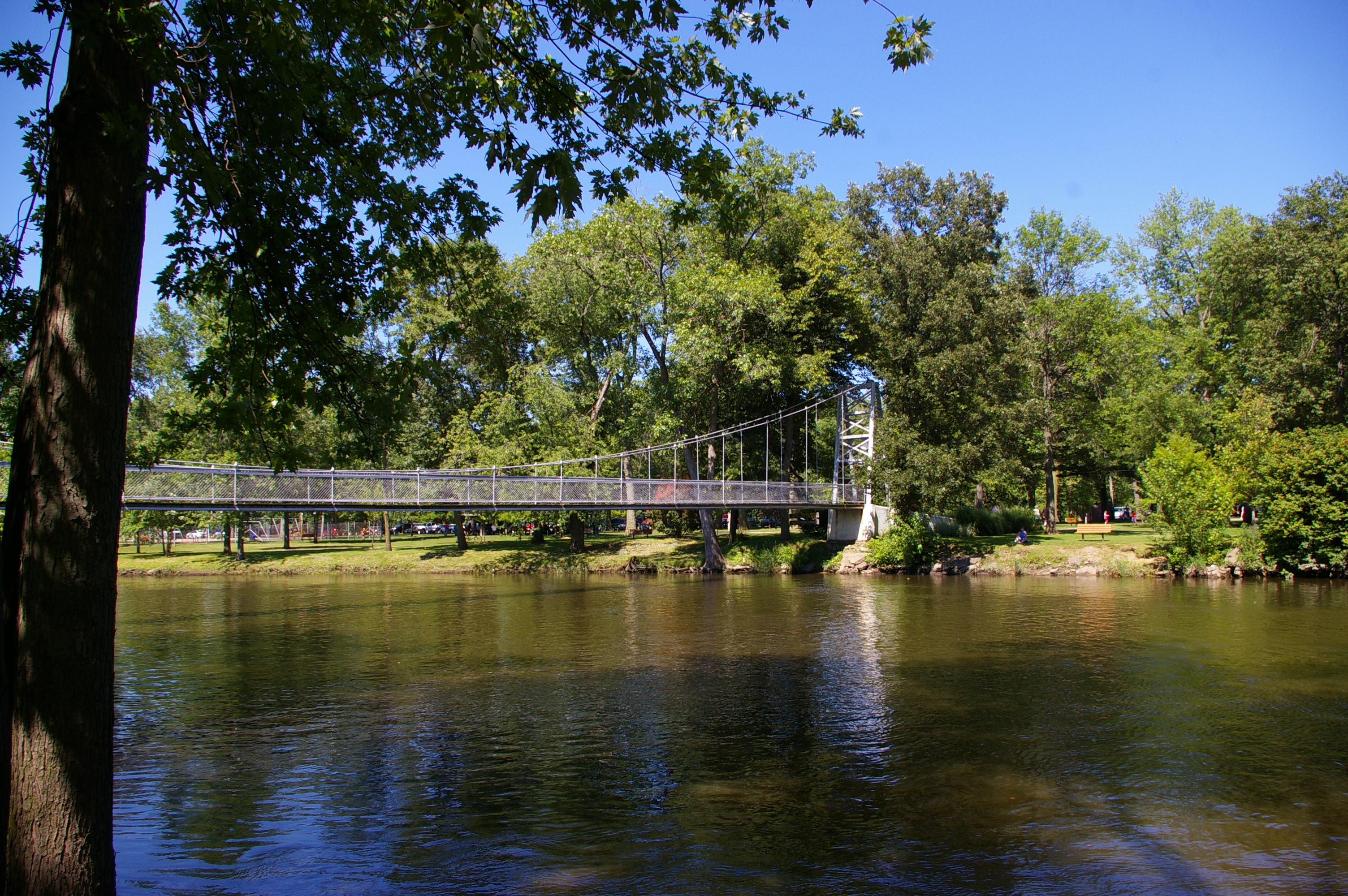
Pulaski County Memorial Bridge
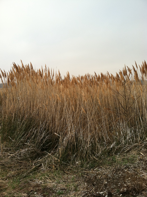
Common reed


Topographic Map of S Main St, Winamac, IN, USA
Find elevation by address:

Places near S Main St, Winamac, IN, USA:
Indian Creek Township
2232 County Rd 441 S
Monroe Township
N Monticello St, Winamac, IN, USA
Winamac
E Main St, Star City, IN, USA
Star City
N W, Winamac, IN, USA
Van Buren Township
Liberty
E N, Winamac, IN, USA
4200 Us-35
Franklin Township
Pulaski County
N E, Winamac, IN, USA
Raccoon Cir, Monticello, IN, USA
N W, Winamac, IN, USA
Rich Grove Township
4910 N Boxman Pl
Tippecanoe Township
Recent Searches:
- Elevation of Elwyn Dr, Roanoke Rapids, NC, USA
- Elevation of Congressional Dr, Stevensville, MD, USA
- Elevation of Bellview Rd, McLean, VA, USA
- Elevation of Stage Island Rd, Chatham, MA, USA
- Elevation of Shibuya Scramble Crossing, 21 Udagawacho, Shibuya City, Tokyo -, Japan
- Elevation of Jadagoniai, Kaunas District Municipality, Lithuania
- Elevation of Pagonija rock, Kranto 7-oji g. 8"N, Kaunas, Lithuania
- Elevation of Co Rd 87, Jamestown, CO, USA
- Elevation of Tenjo, Cundinamarca, Colombia
- Elevation of Côte-des-Neiges, Montreal, QC H4A 3J6, Canada