Elevation of S Main St, Plevna, KS, USA
Location: United States > Kansas > Reno County > Plevna > Plevna >
Longitude: -98.3092
Latitude: 37.9722
Elevation: 516m / 1693feet
Barometric Pressure: 95KPa
Elevation Map:
Satellite Map:
Related Photos:

Reno County crossroads

UP in Kansas

UP 2563 West, E.E. Janet

UP 5012 West

UP 6838 East, MP 265
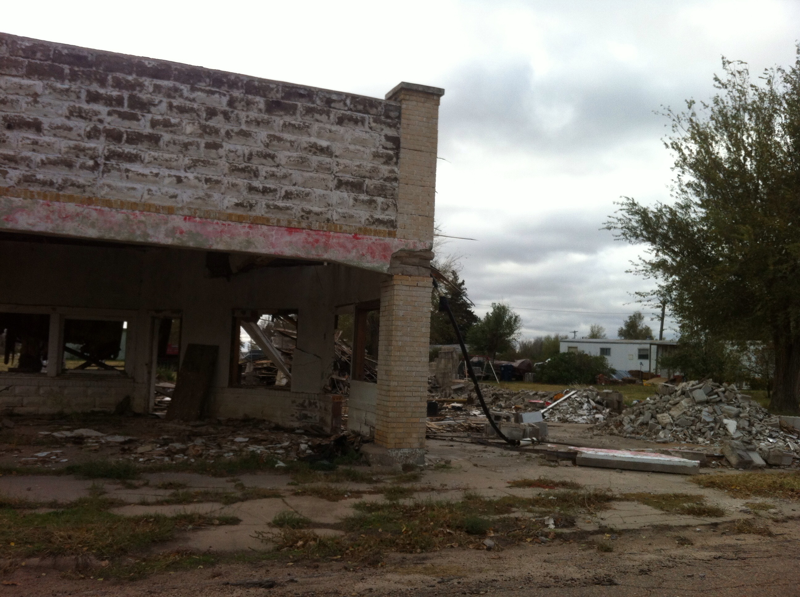
Ghost trip fall 2012
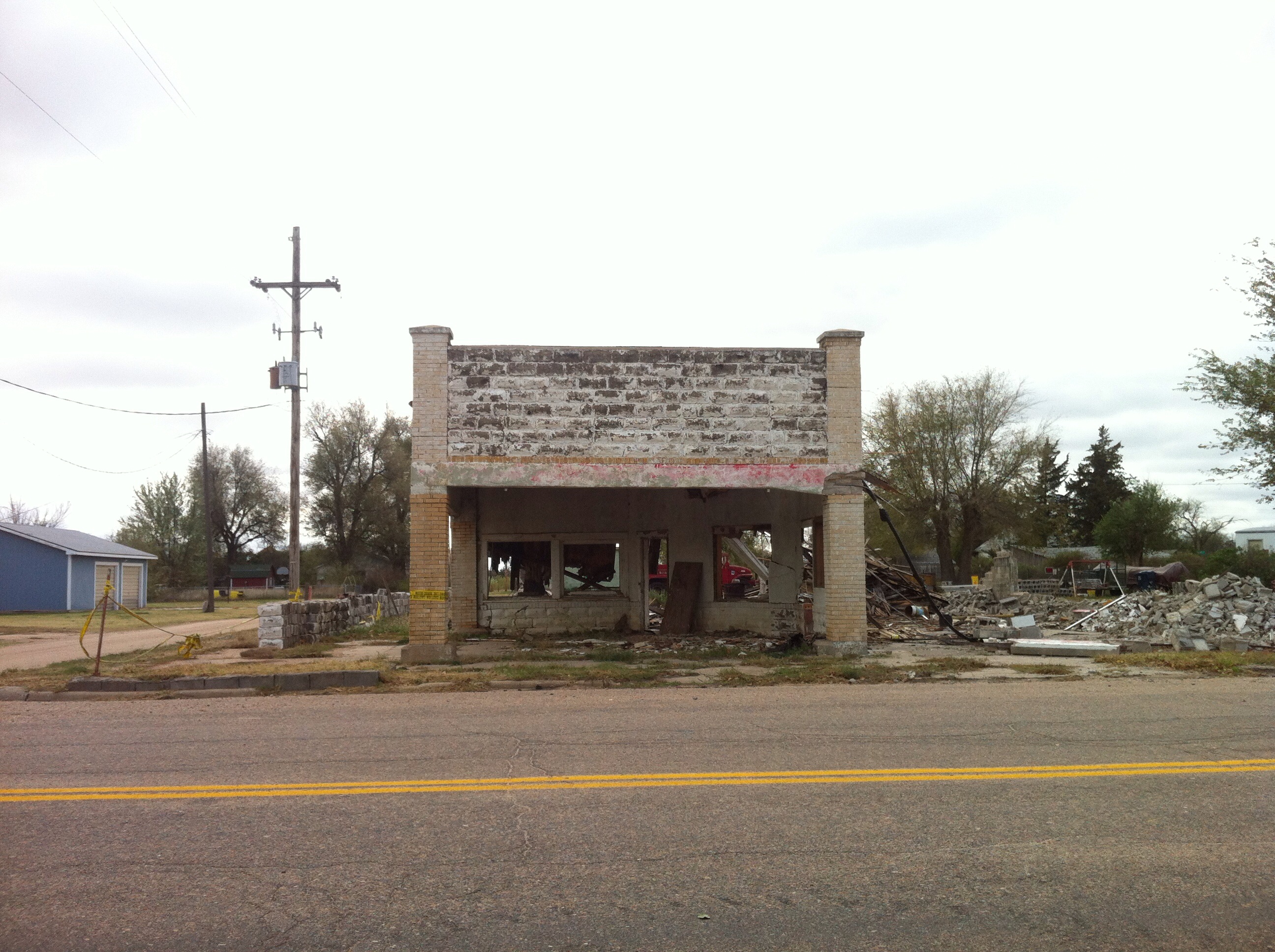
Ghost trip fall 2012

Post Office 67514 (Arlington, Kansas)
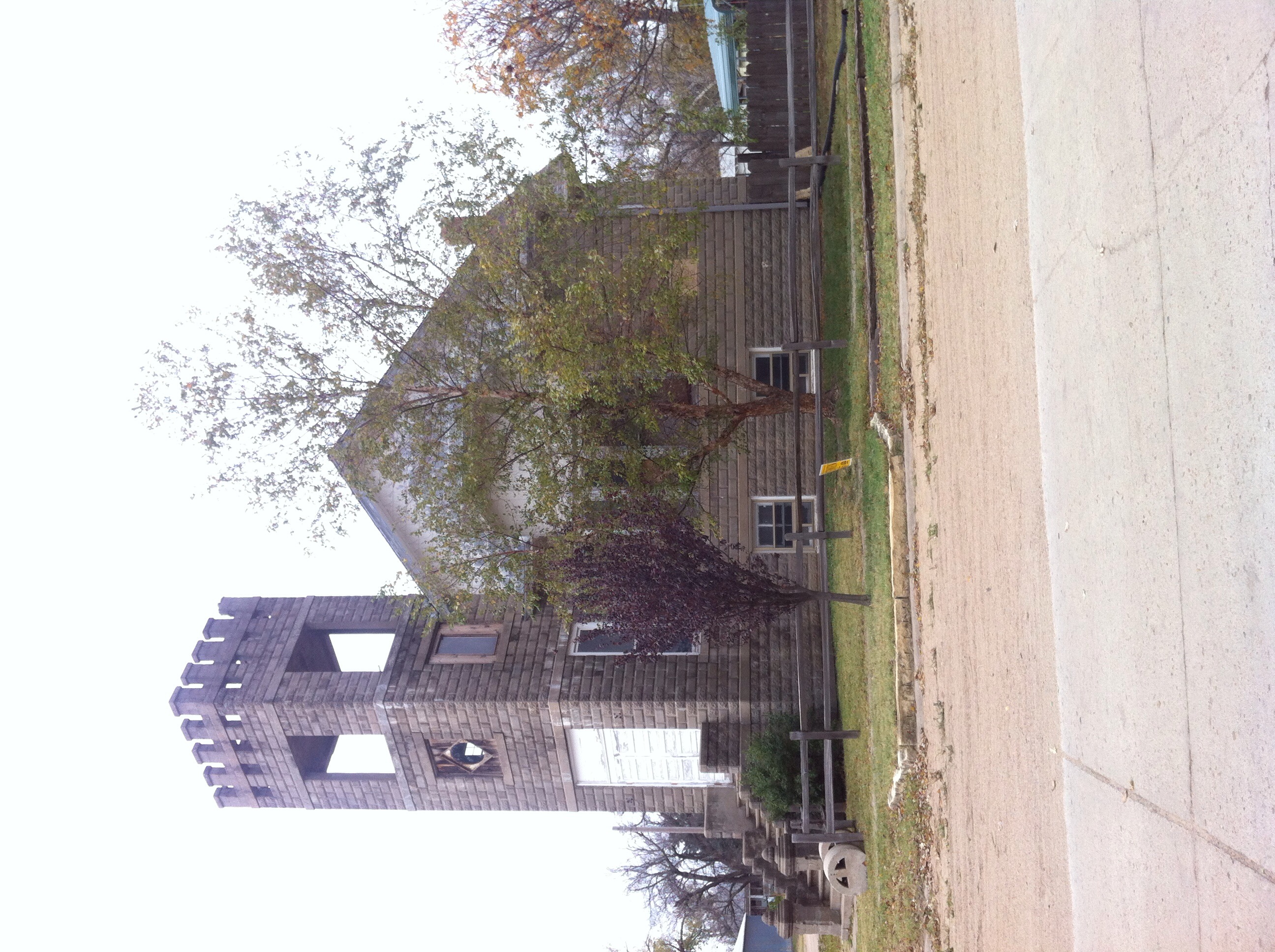
Ghost trip fall 2012
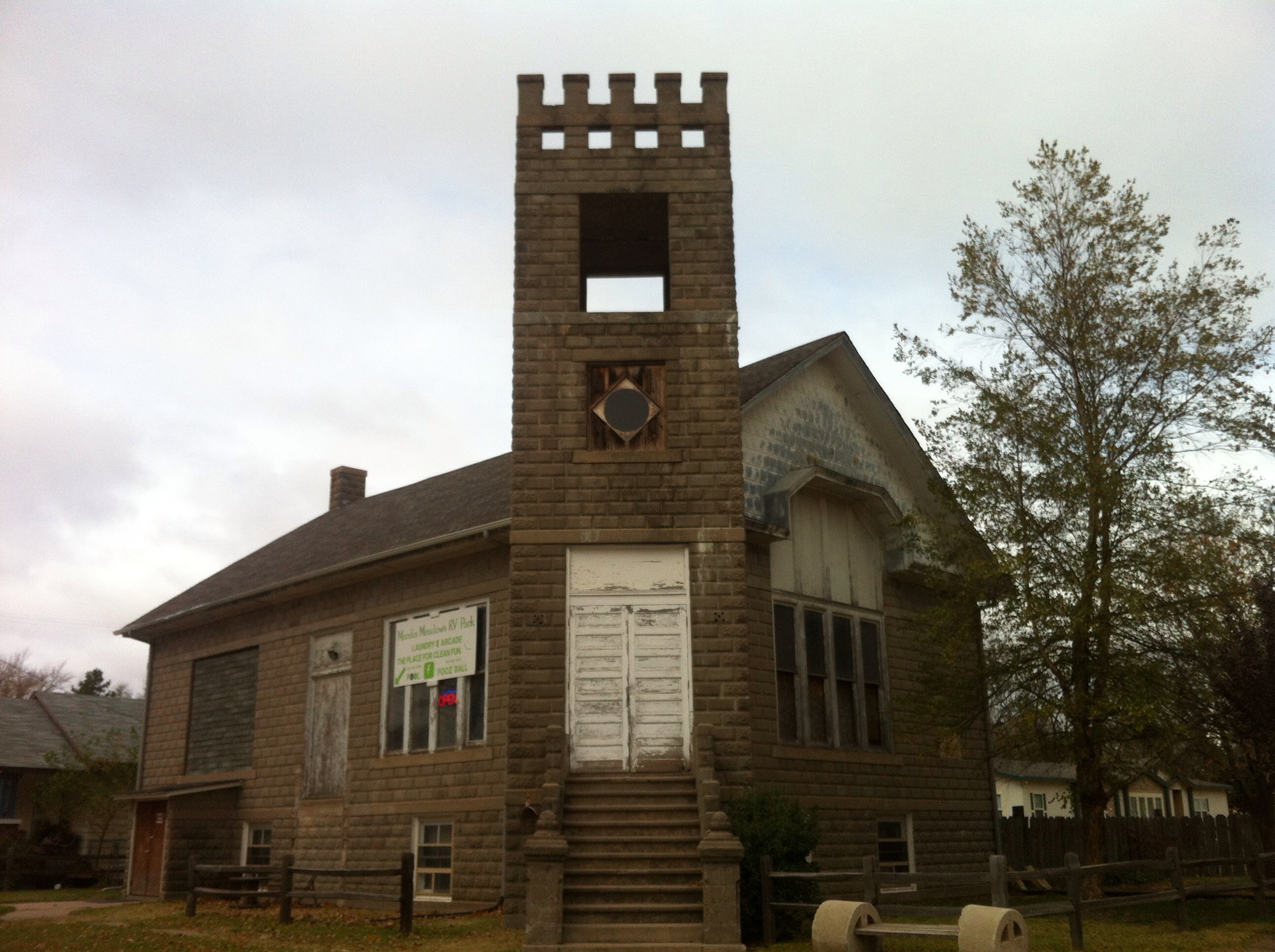
Ghost trip fall 2012
Ghost trip fall 2012
Topographic Map of S Main St, Plevna, KS, USA
Find elevation by address:

Places near S Main St, Plevna, KS, USA:
Plevna
U.s. 50
Abbyville
Walnut
N Langdon Rd, Sterling, KS, USA
W 95th Ave, Sterling, KS, USA
Medford
Sterling
Center
2440 17th Rd
Nickerson
1 N Peabody St, Nickerson, KS, USA
Rice County
Nickerson Blvd, Hutchinson, KS, USA
Reno
Grant
1609 Ave Q
1609 Ave Q
1609 Ave Q
63 Willowbrook Dr, Hutchinson, KS, USA
Recent Searches:
- Elevation of Martins Mill Ct, Eagle Rock, NC, USA
- Elevation of Kippen, Stirling FK8, UK
- Elevation of Sieveringer Straße, Sieveringer Str., Wien, Austria
- Elevation of Bratskaya Ulitsa, 24, Kurgan, Kurganskaya oblast', Russia
- Elevation of Paradisvegen, Biri, Norway
- Elevation of Crystal Cir, Birmingham, AL, USA
- Elevation of N Railroad Ave, West Palm Beach, FL, USA
- Elevation of 55 Cassick Valley Rd, Wellfleet, MA, USA
- Elevation of Ironwood Dr, Minden, NV, USA
- Elevation of 高尾山口駅, Takaomachi, Hachioji, Tokyo -, Japan