Elevation of S Main St, Layton, UT, USA
Location: United States > Utah > Davis County > Layton >
Longitude: -111.96291
Latitude: 41.058262
Elevation: 1326m / 4350feet
Barometric Pressure: 86KPa
Elevation Map:
Satellite Map:
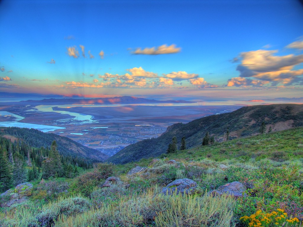
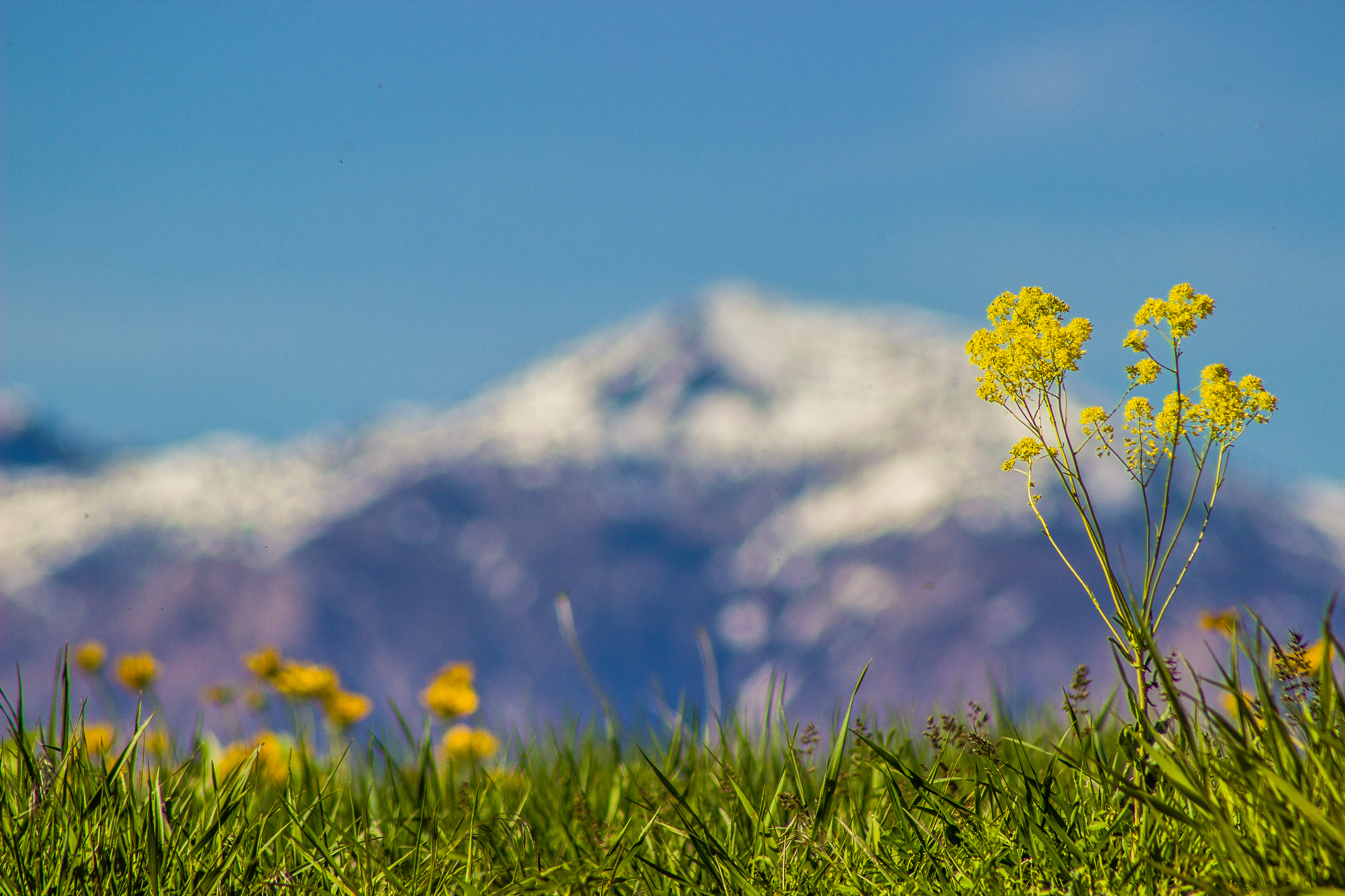
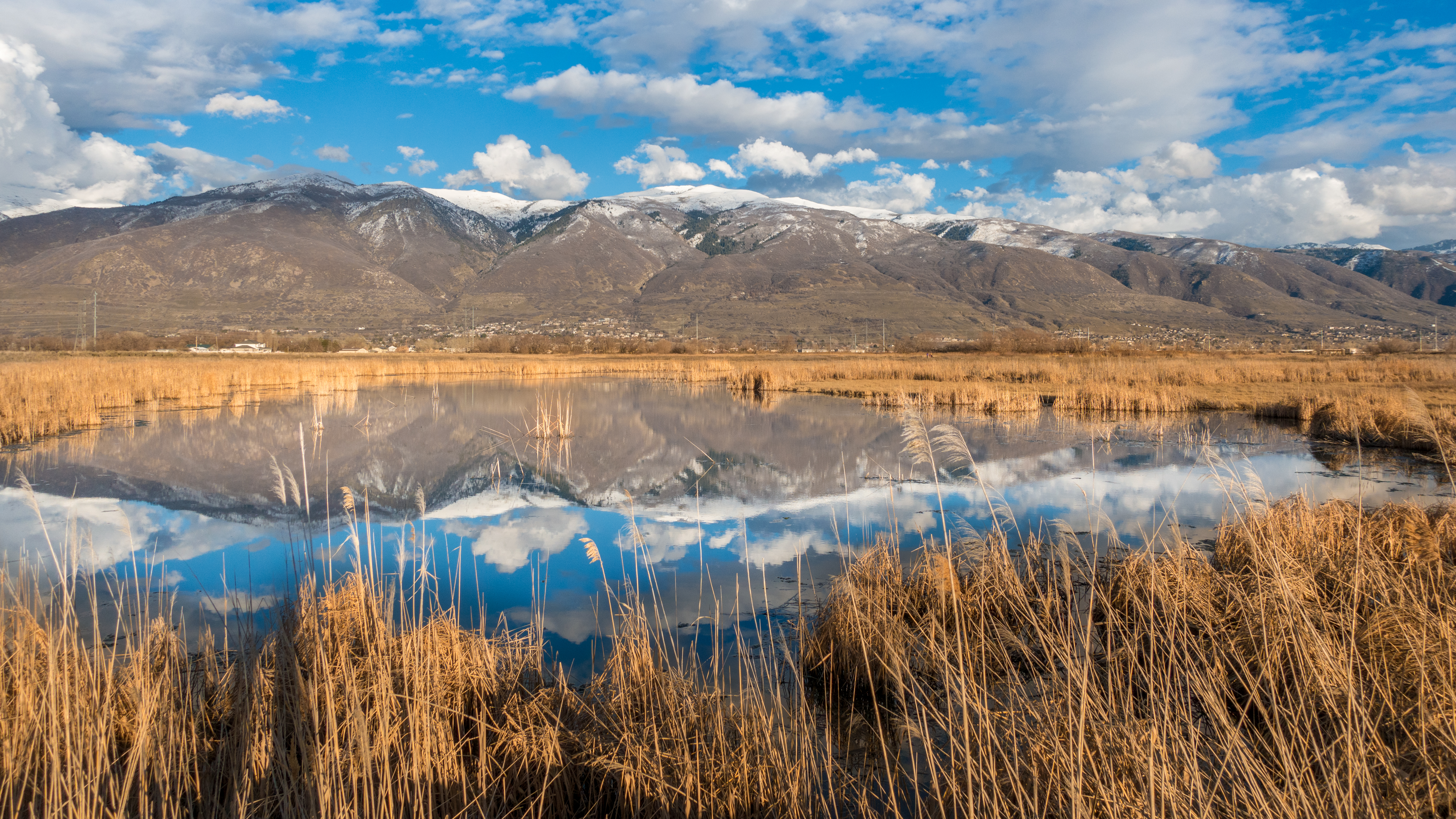
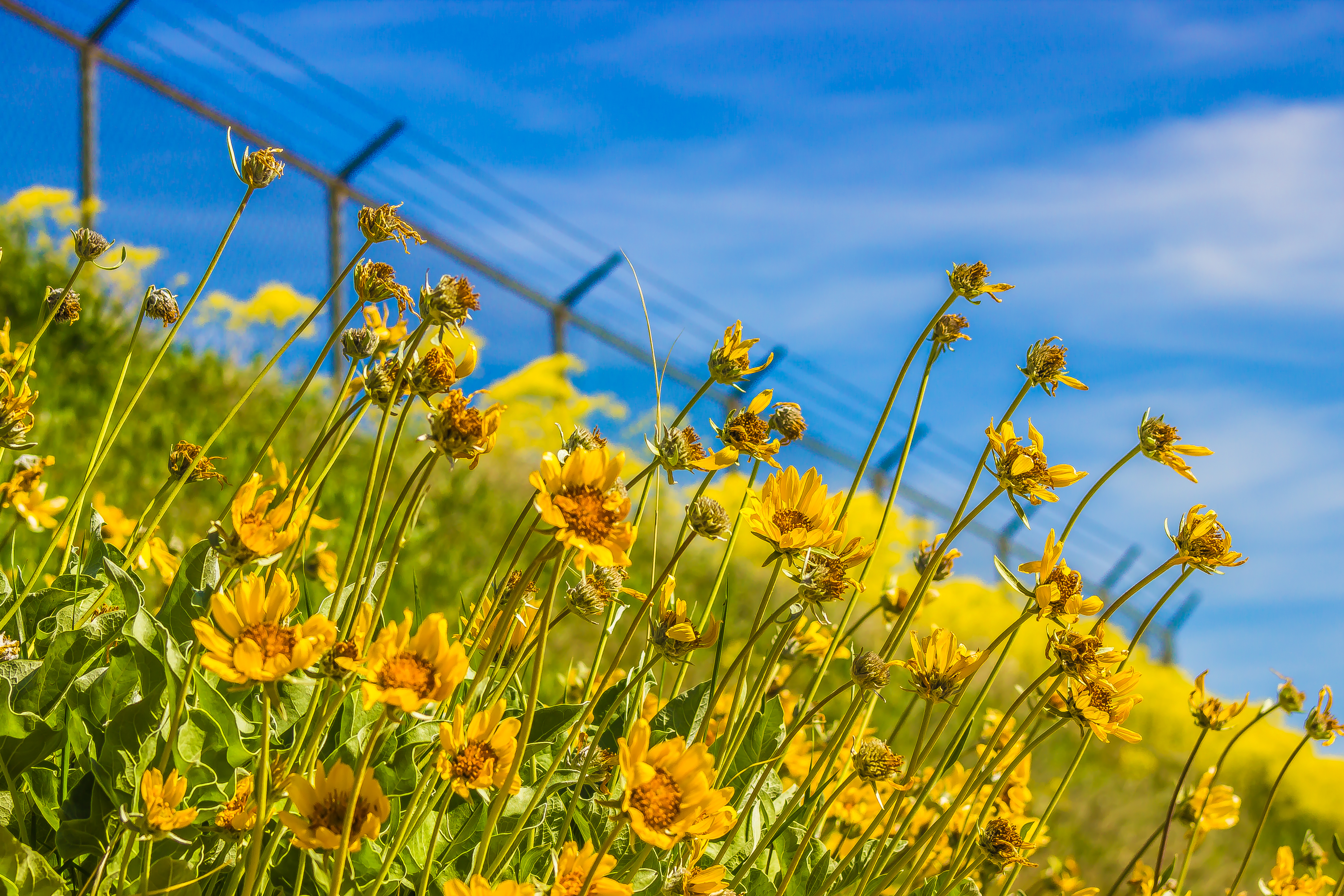
Related Photos:
South end of Antelope Island

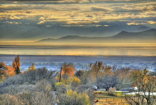
Valley Haze
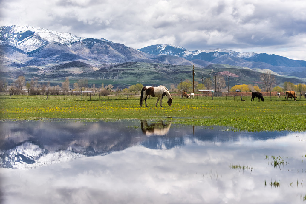
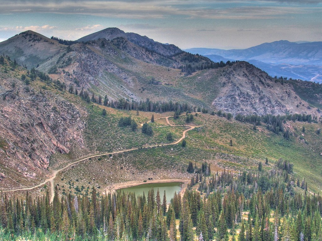
A little piece of Utah paradise

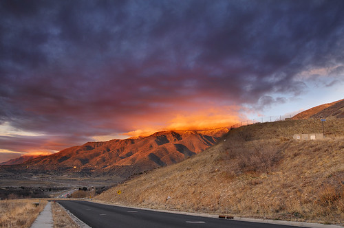
End of Another Beautiful Day!
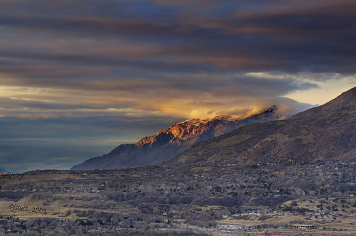
Looking North at Sunset.

Union Pacific 844

Pumpkin Patch ~ My Beautiful Sister
Clouds and Sun on Ben Lomond
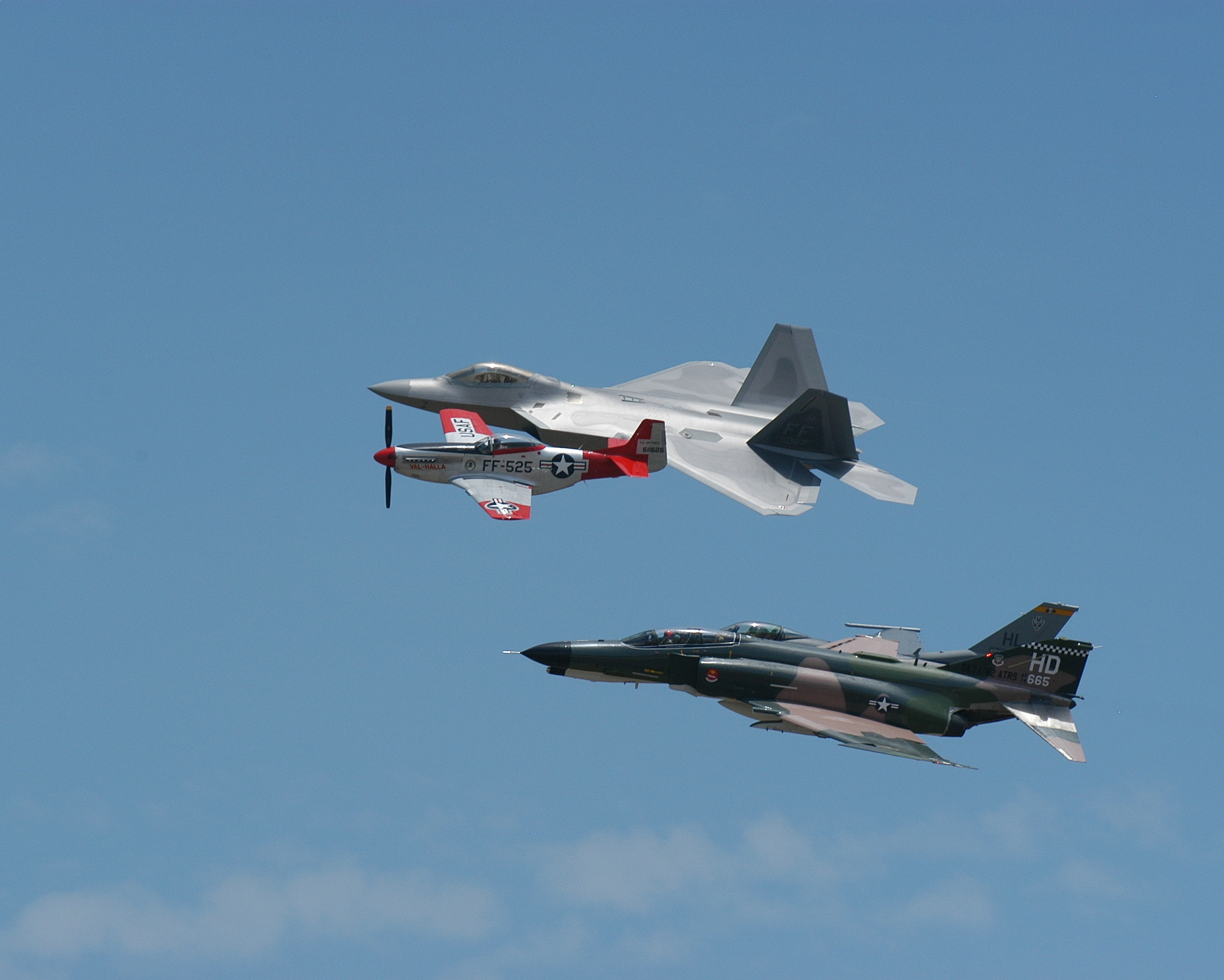
Formation #3

Sunset looking over Hill Air Force Base
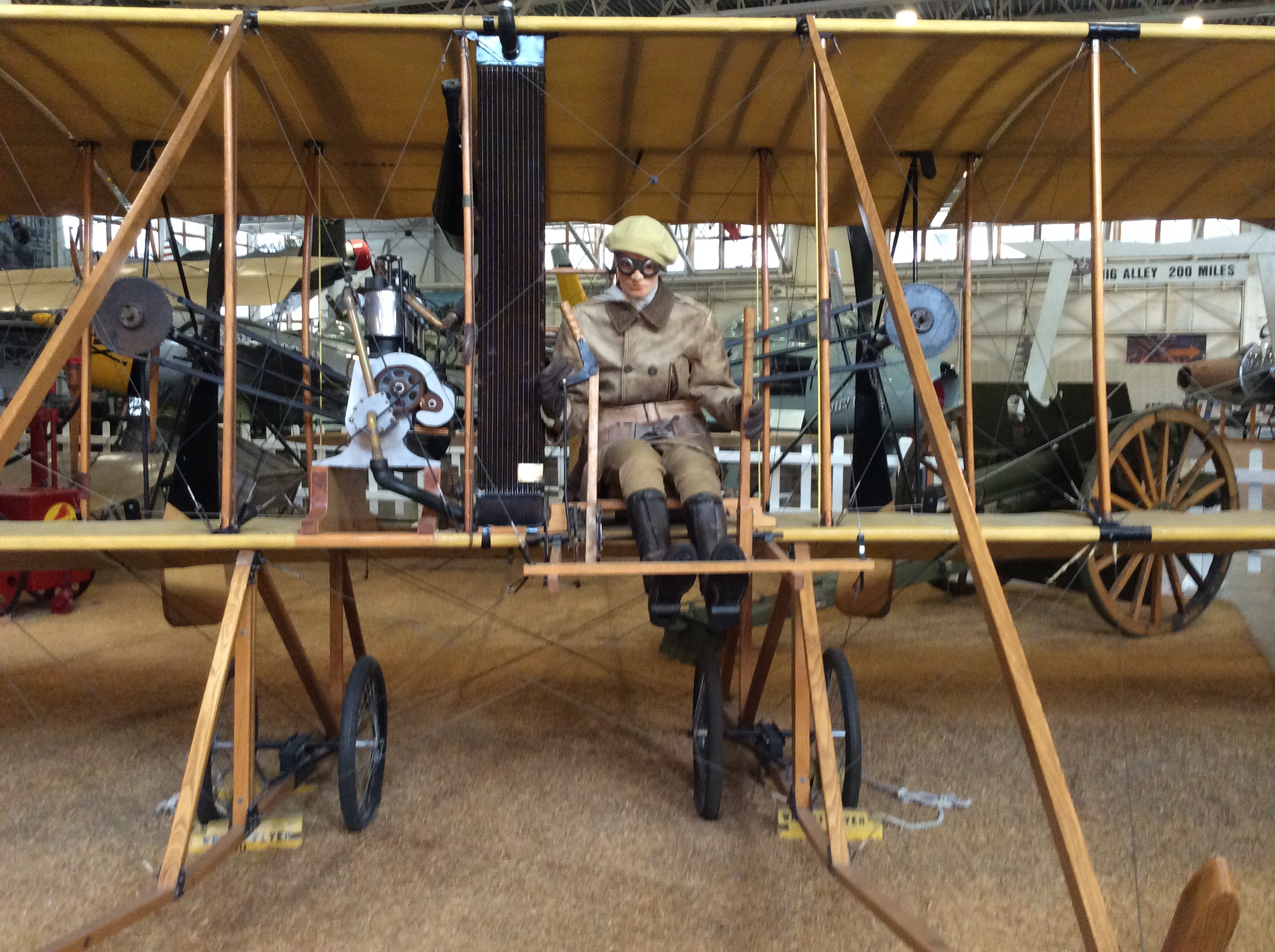
The Beginnings...a closer view
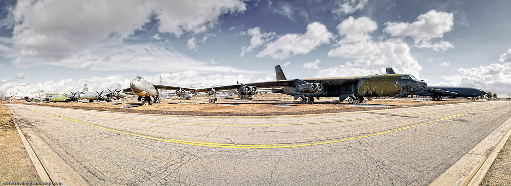
Flightline; Hill Air Force Base, Utah
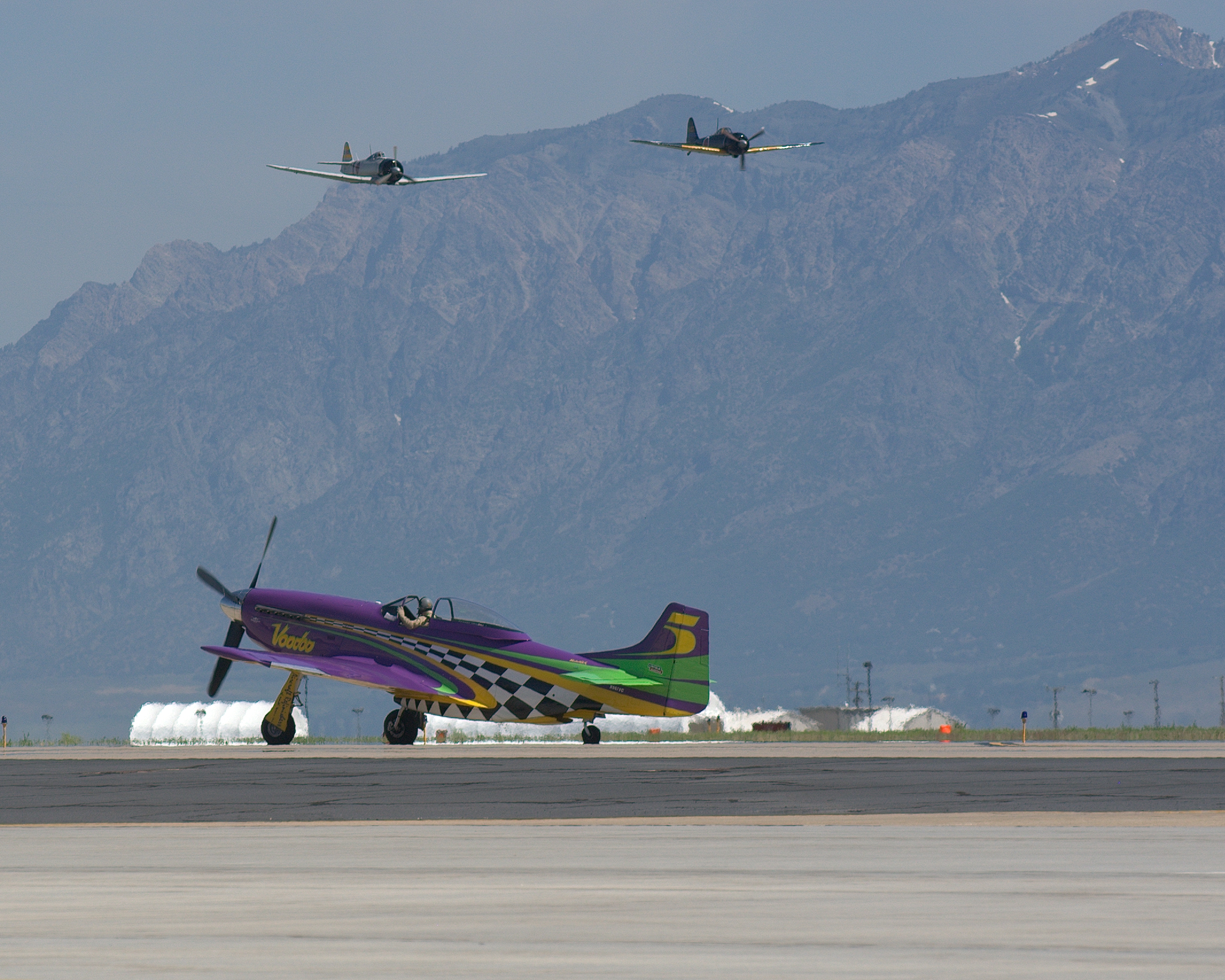
Ready for Take Off
Great Salt Lake Morning View
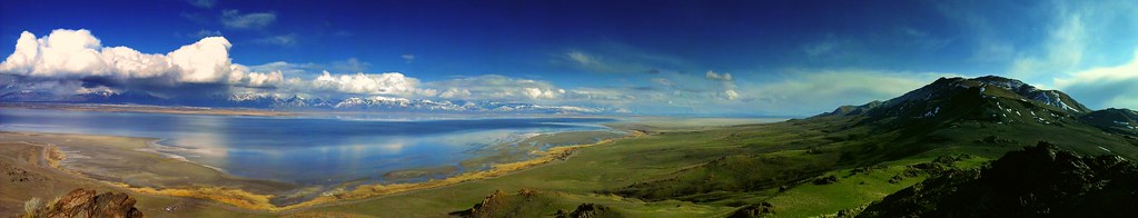
view from the top of Dooly Knob
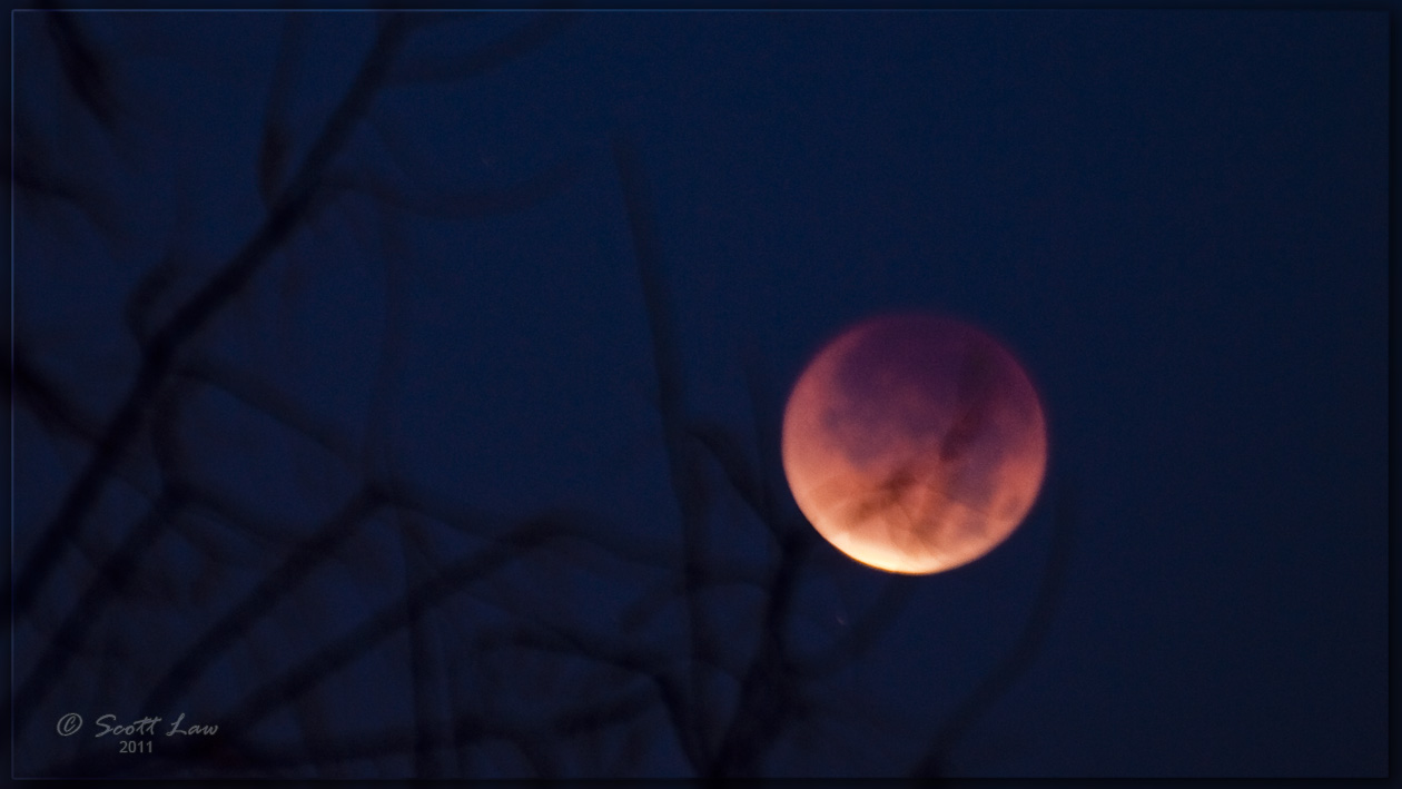
Lunar Eclipse Dec. 10, 2011
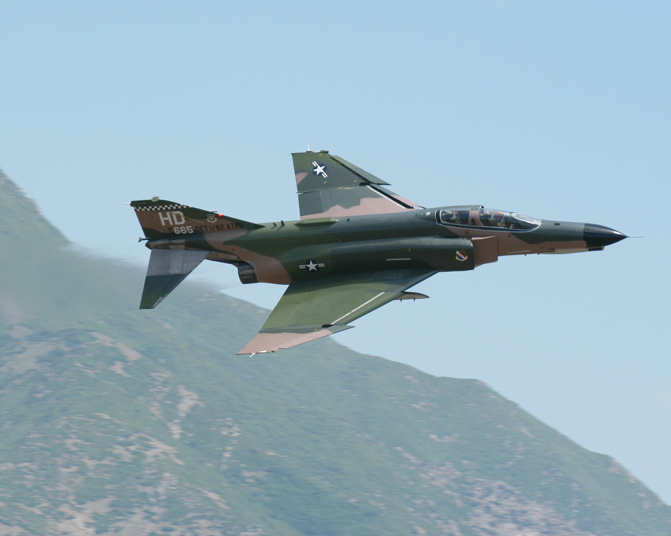
F-4E Phantom
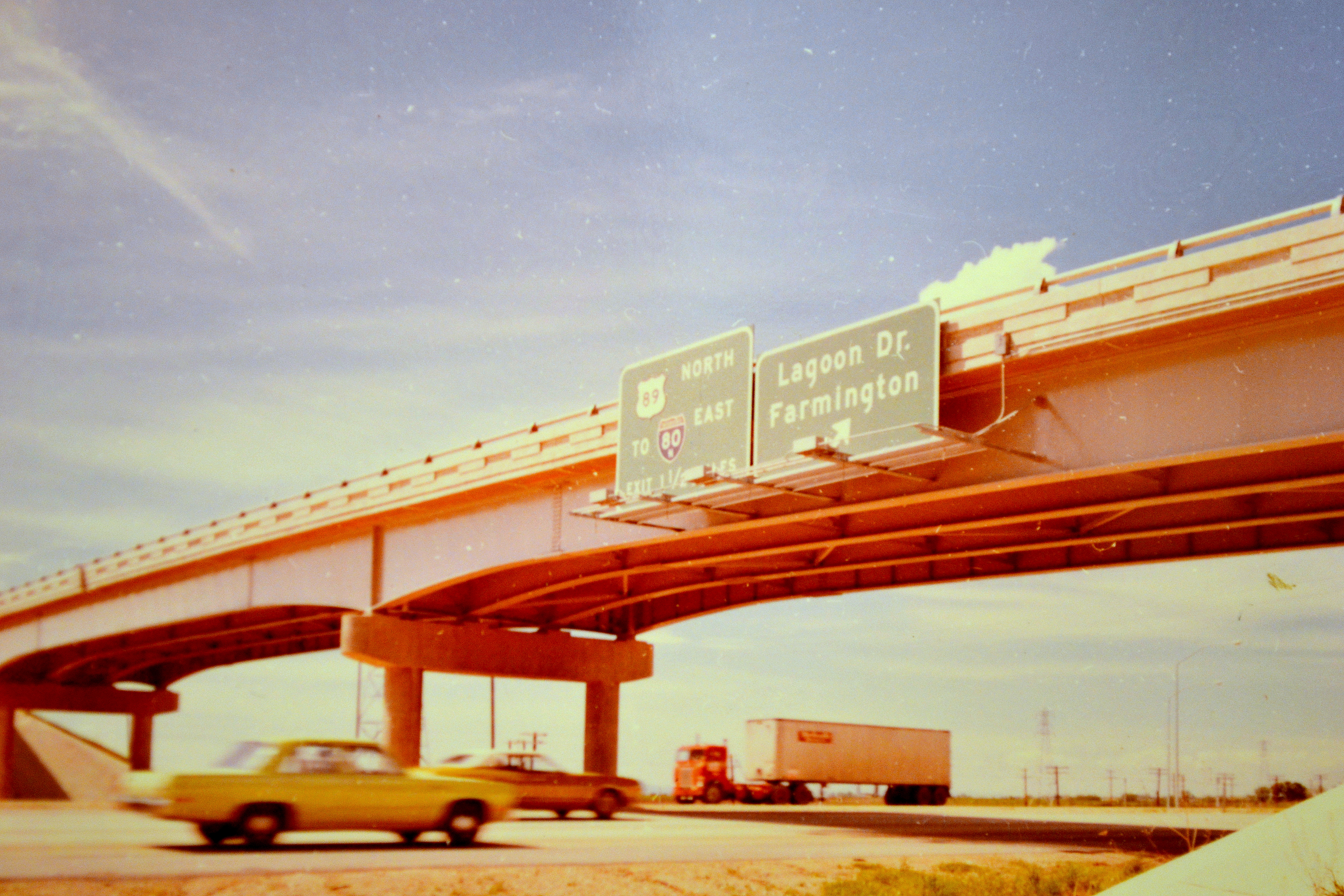
northbound I-15 at 200 West, 1972
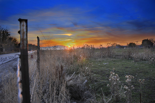
Horse Pasture Sunset

Look Into My Eyes
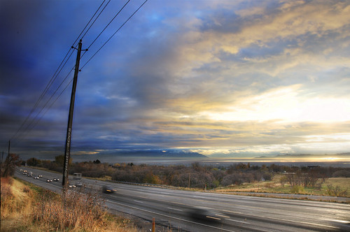
Traffic on Highway 89

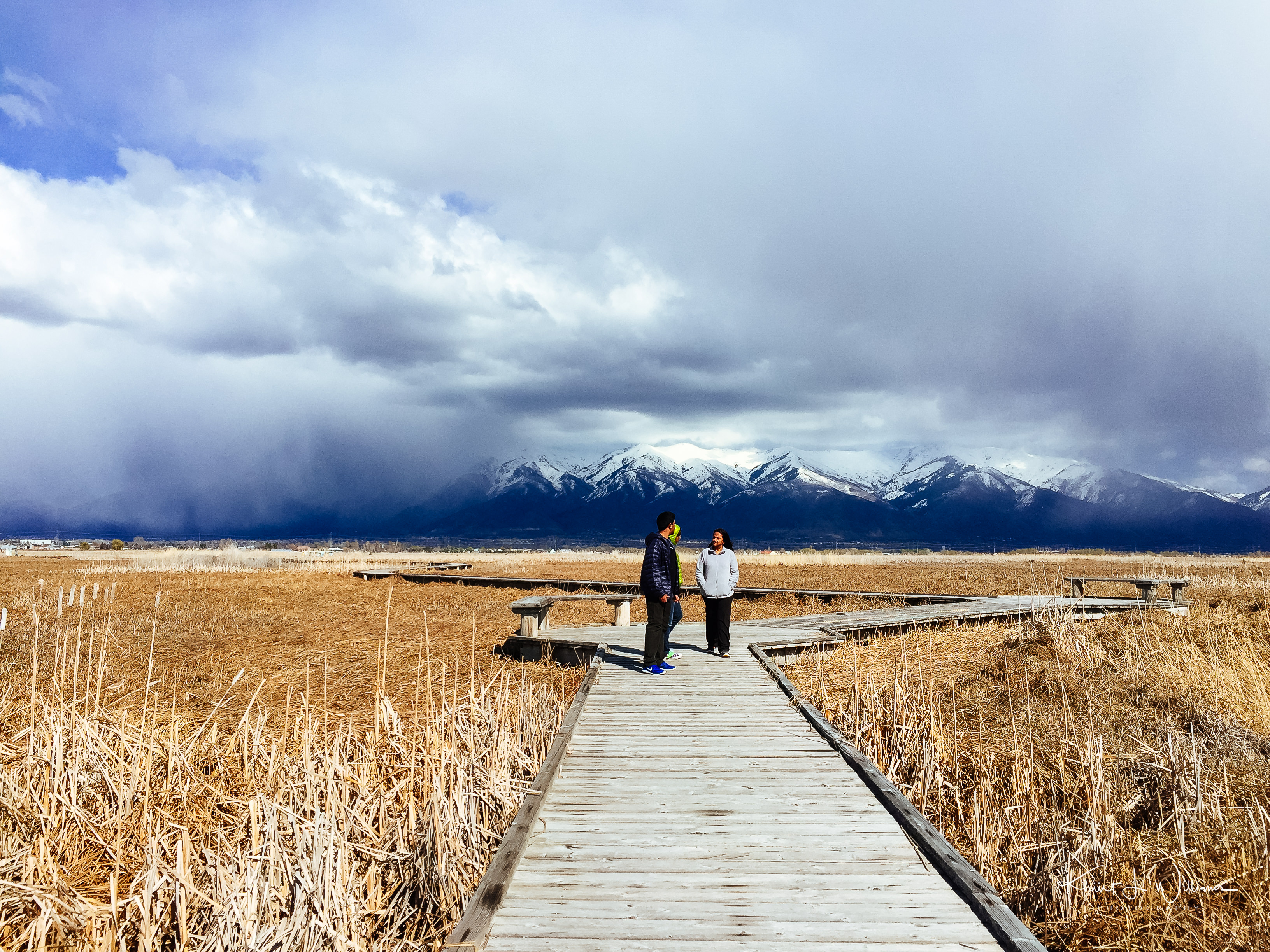
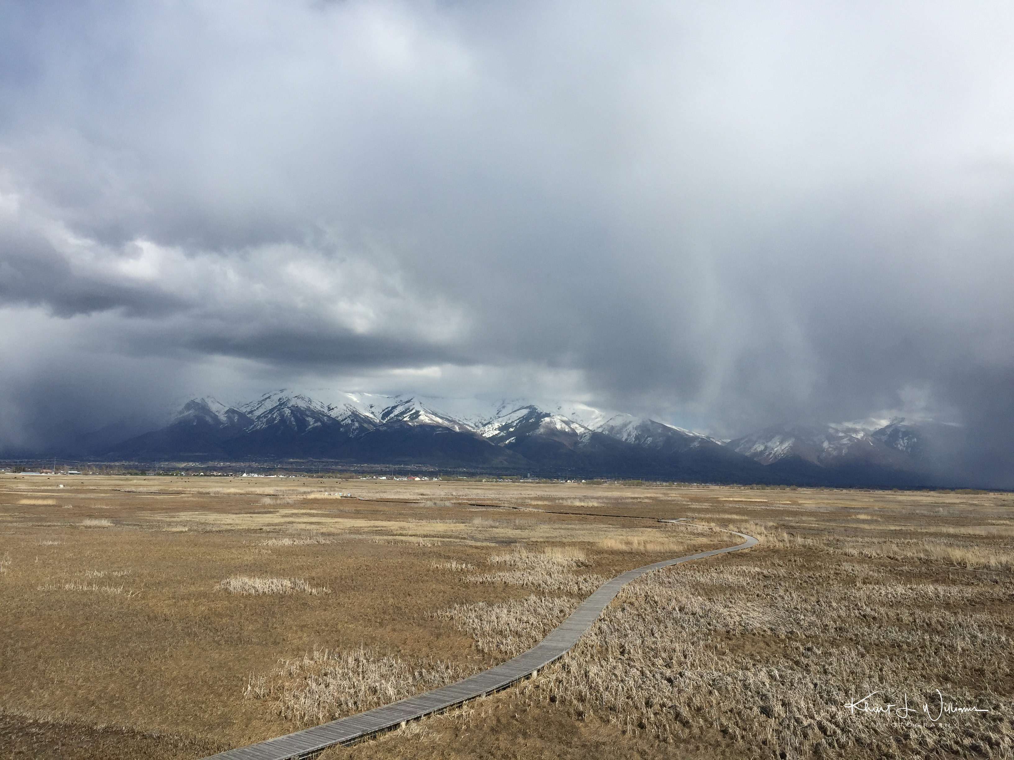
The Great Salt Lake Shorelands Preserve, UT

Hay !

A Happy Horse.
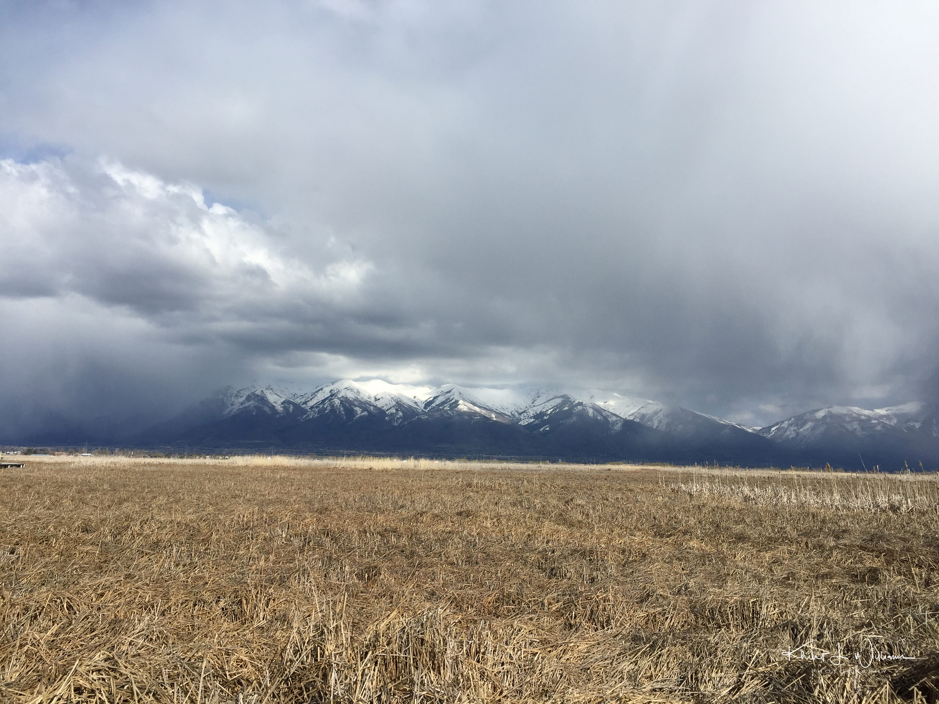
_iPhone 6_20160326_1509
Beaver Ponds on the back side of Francis peak HDR
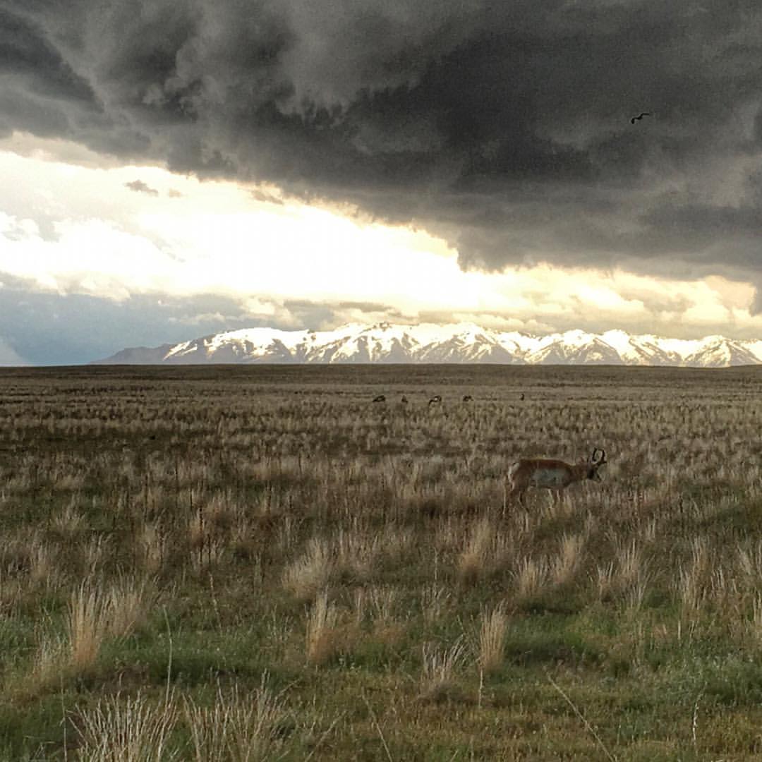
#storm #utah @mckenzie_manda
_iPhone 6_20160326_1510
_iPhone 6_20160326_1511
Ben Lomond
East Pond

Farmington Bay

Layton, UT

Great Salt Lake Nature Center at Farmington Bay
Antelope Impression

Layton,UT

Oak Grove

The Great Salt Lake Shorelands Preserve, UT

Layton, UT
South Ogden, UT

The morning breaks. #ogdenonly #outsideinogden #reflection #nature #instautah #utahgram
Topographic Map of S Main St, Layton, UT, USA
Find elevation by address:

Places near S Main St, Layton, UT, USA:
Layton Parkway
Layton
201 Layton Pkwy
609 E Gentile St
Layton Commons Park
Central Davis Junior High School
854 W 450 N
379 Pleasant View Dr
Chevron
1200 Church St
Smith's
1260 Church St
Layton Hills Mall
1149 W 650 S
798 N 1300 E
S Angel St, Layton, UT, USA
1670 Church St
Layton, UT, USA
Roger Circle
Paul Avenue
Recent Searches:
- Elevation of Shibuya Scramble Crossing, 21 Udagawacho, Shibuya City, Tokyo -, Japan
- Elevation of Jadagoniai, Kaunas District Municipality, Lithuania
- Elevation of Pagonija rock, Kranto 7-oji g. 8"N, Kaunas, Lithuania
- Elevation of Co Rd 87, Jamestown, CO, USA
- Elevation of Tenjo, Cundinamarca, Colombia
- Elevation of Côte-des-Neiges, Montreal, QC H4A 3J6, Canada
- Elevation of Bobcat Dr, Helena, MT, USA
- Elevation of Zu den Ihlowbergen, Althüttendorf, Germany
- Elevation of Badaber, Peshawar, Khyber Pakhtunkhwa, Pakistan
- Elevation of SE Heron Loop, Lincoln City, OR, USA