Elevation of S Main St, Harrodsburg, KY, USA
Location: United States > Kentucky > Mercer County > Harrodsburg >
Longitude: -84.843617
Latitude: 37.761716
Elevation: 262m / 860feet
Barometric Pressure: 98KPa
Elevation Map:
Satellite Map:
Related Photos:
Shaker Barn

Big Sur, CA
Danville, Kentucky
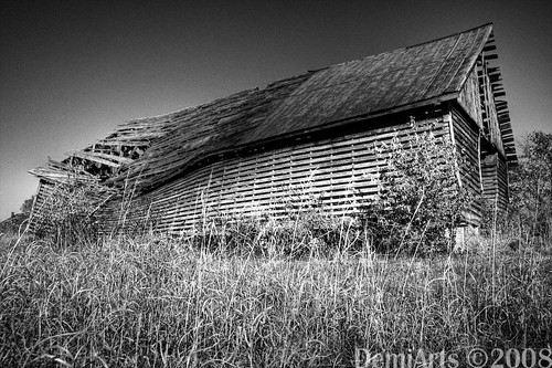
Broken Barn

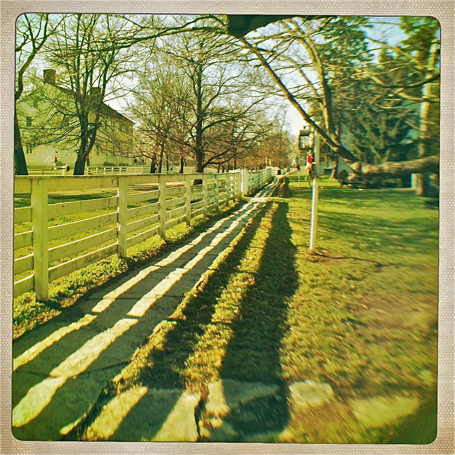
View of East Family Brethren's Shop & East Family Dwelling

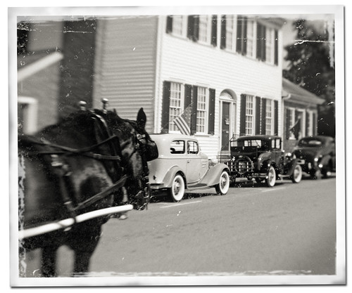
Mixed Power.
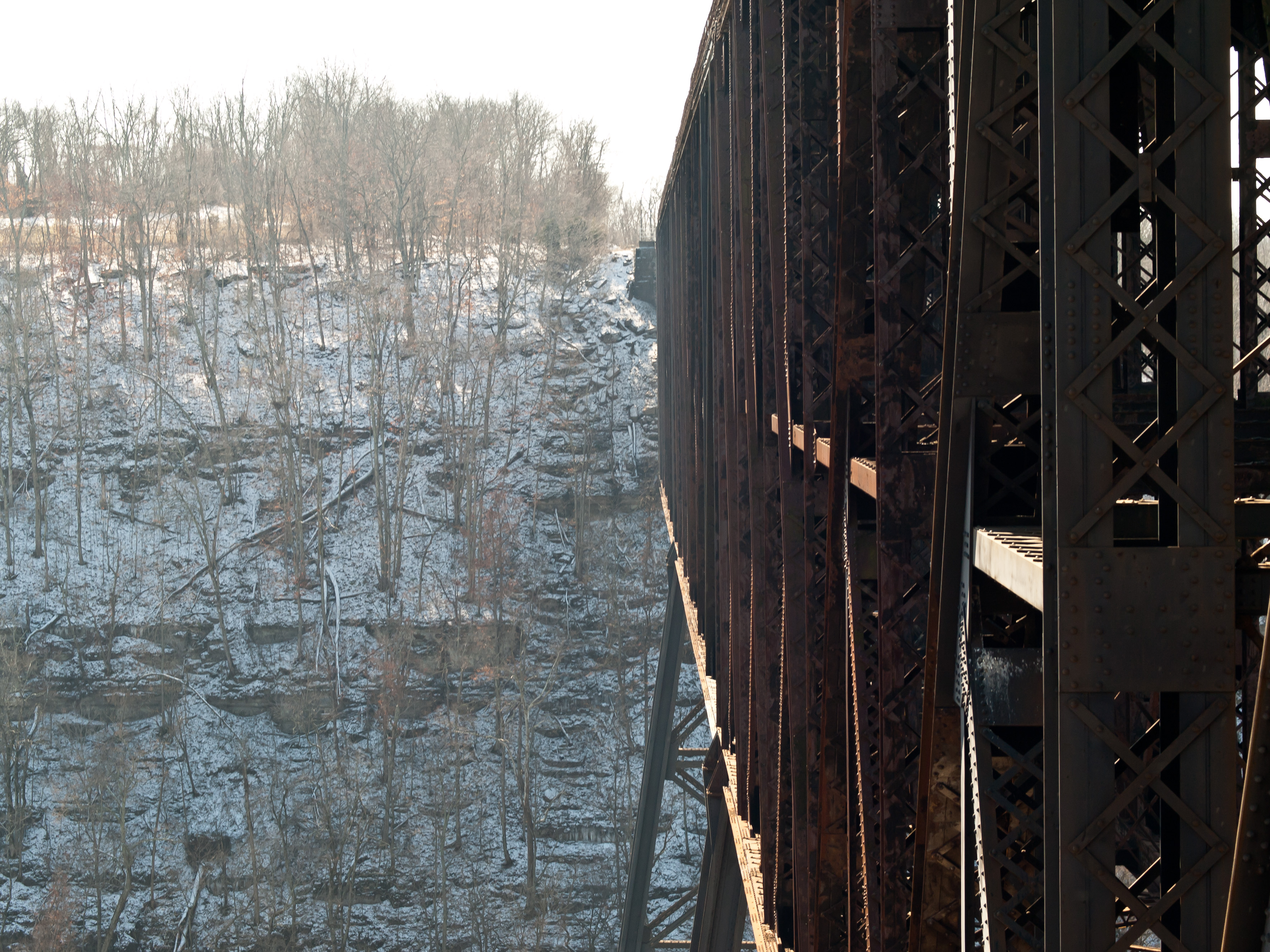
High Bridge, Kentucky
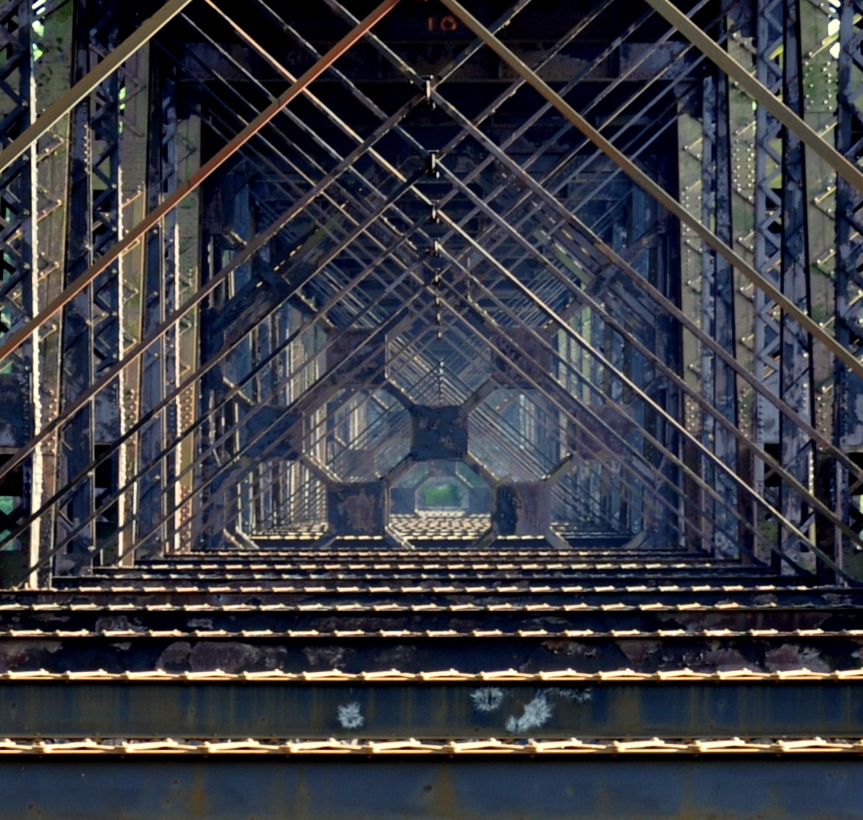
high bridge
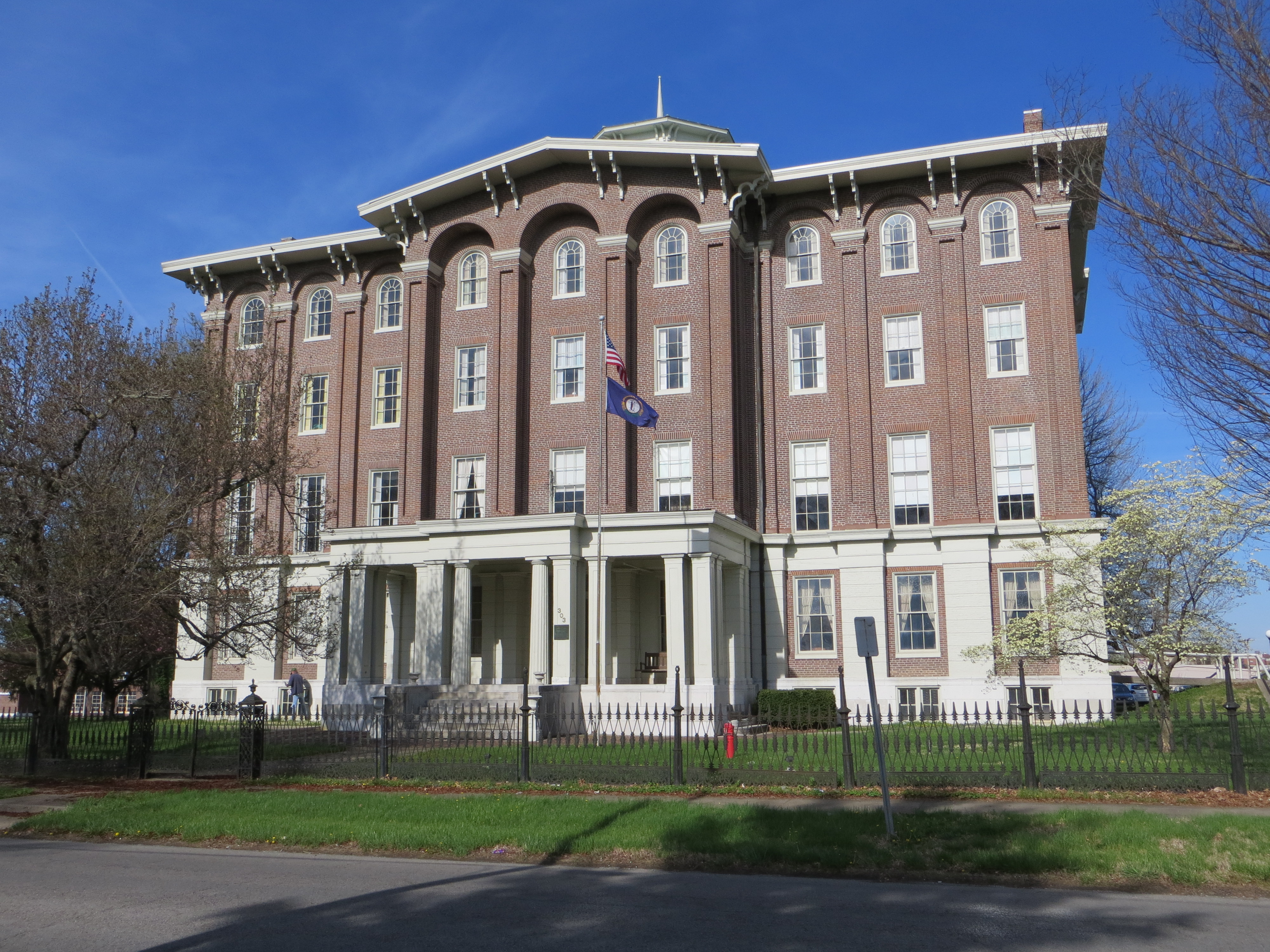
Front view of Jacobs Hall, KSD

Window View
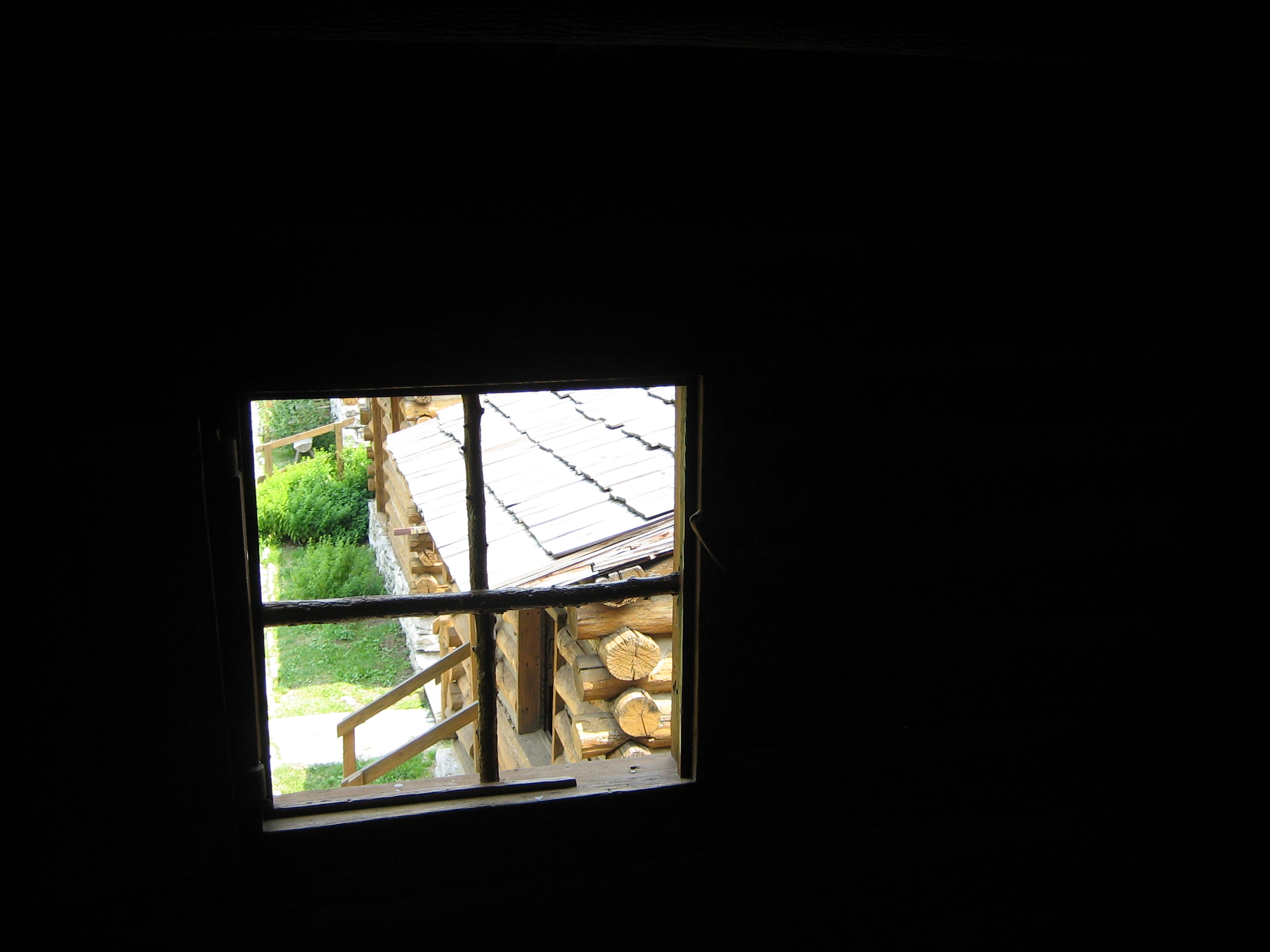
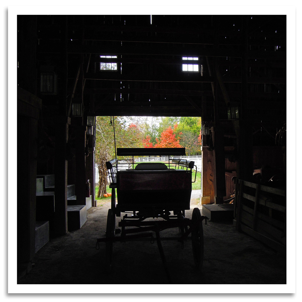
View from inside a building at Fort Harrod

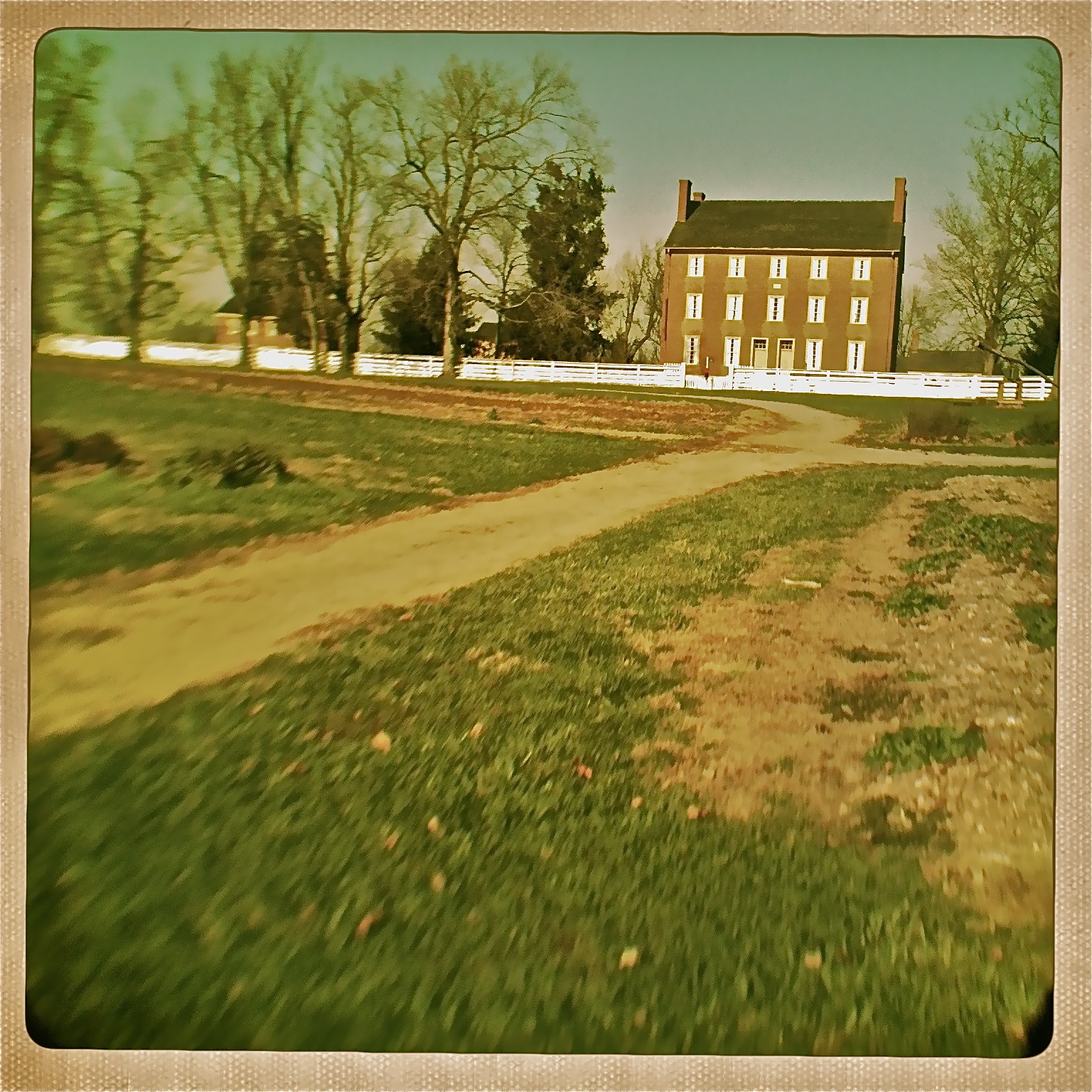
View of the East Family Dwelling
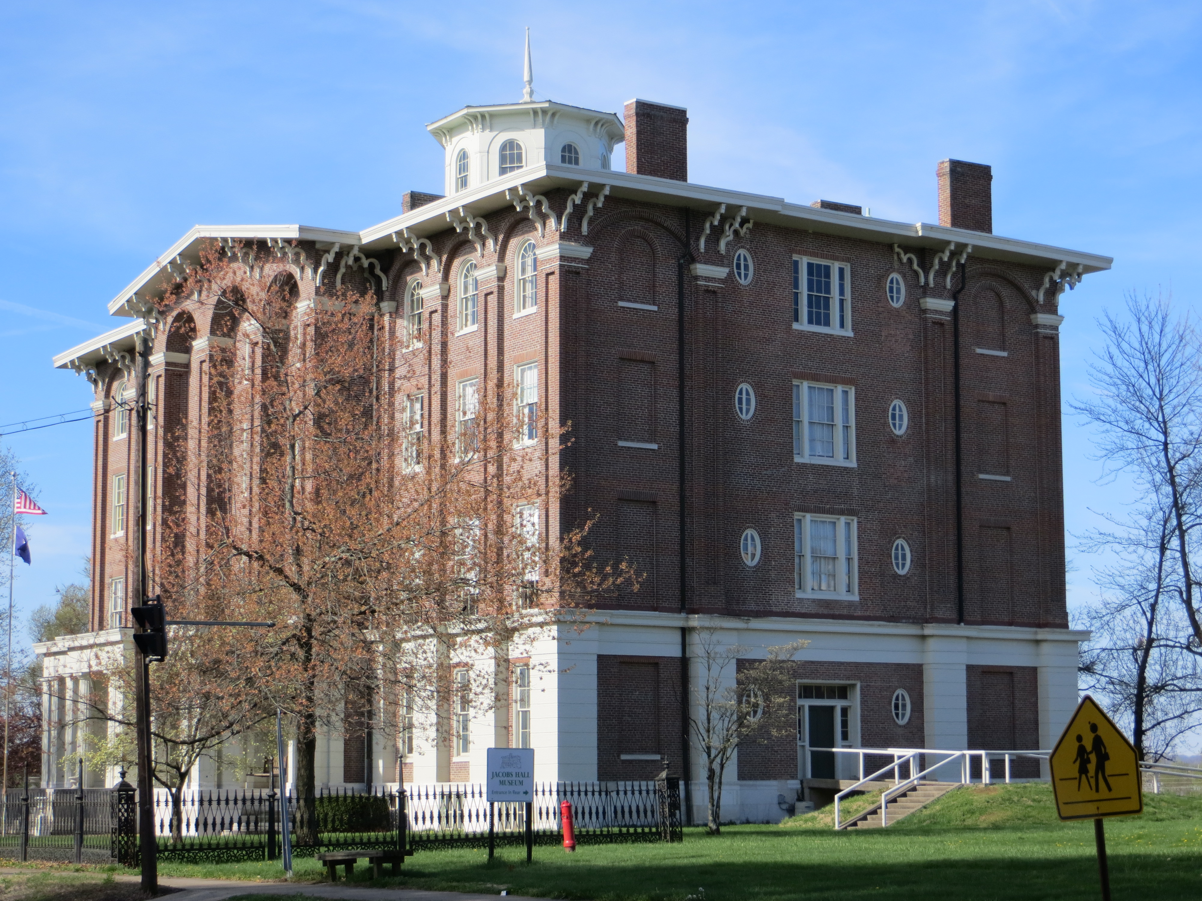
Oblique front view of Jacobs Hall, KSD
View from the East Family Dwelling

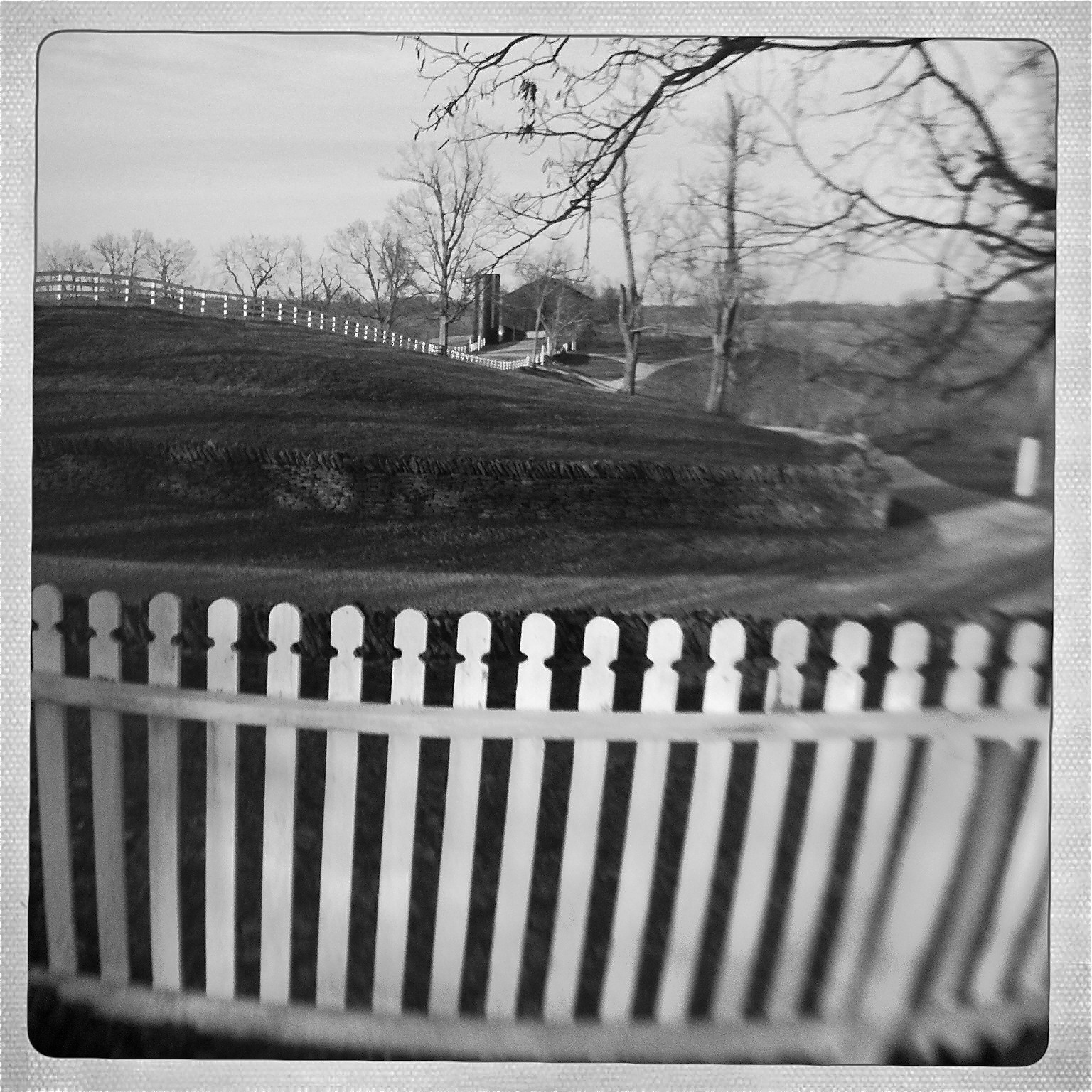
View From Shaker Graveyard
View of East Family Dwelling from the Barn
View out our wavy window
View from Shaker Graveyard
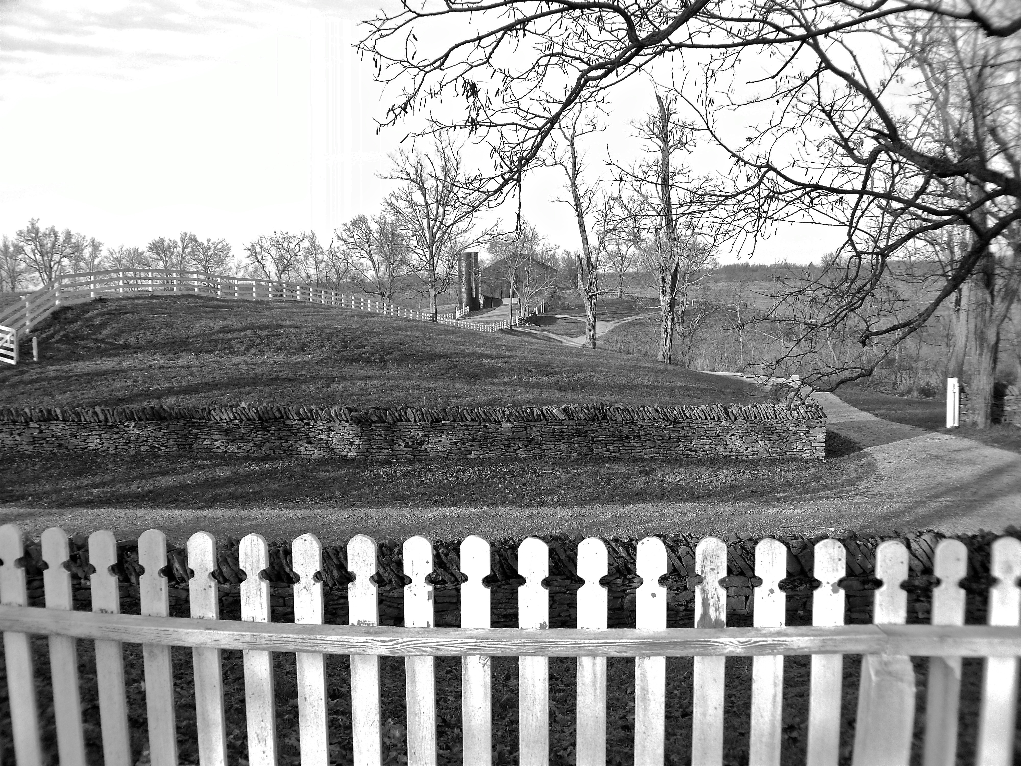
View from Shaker Graveyard

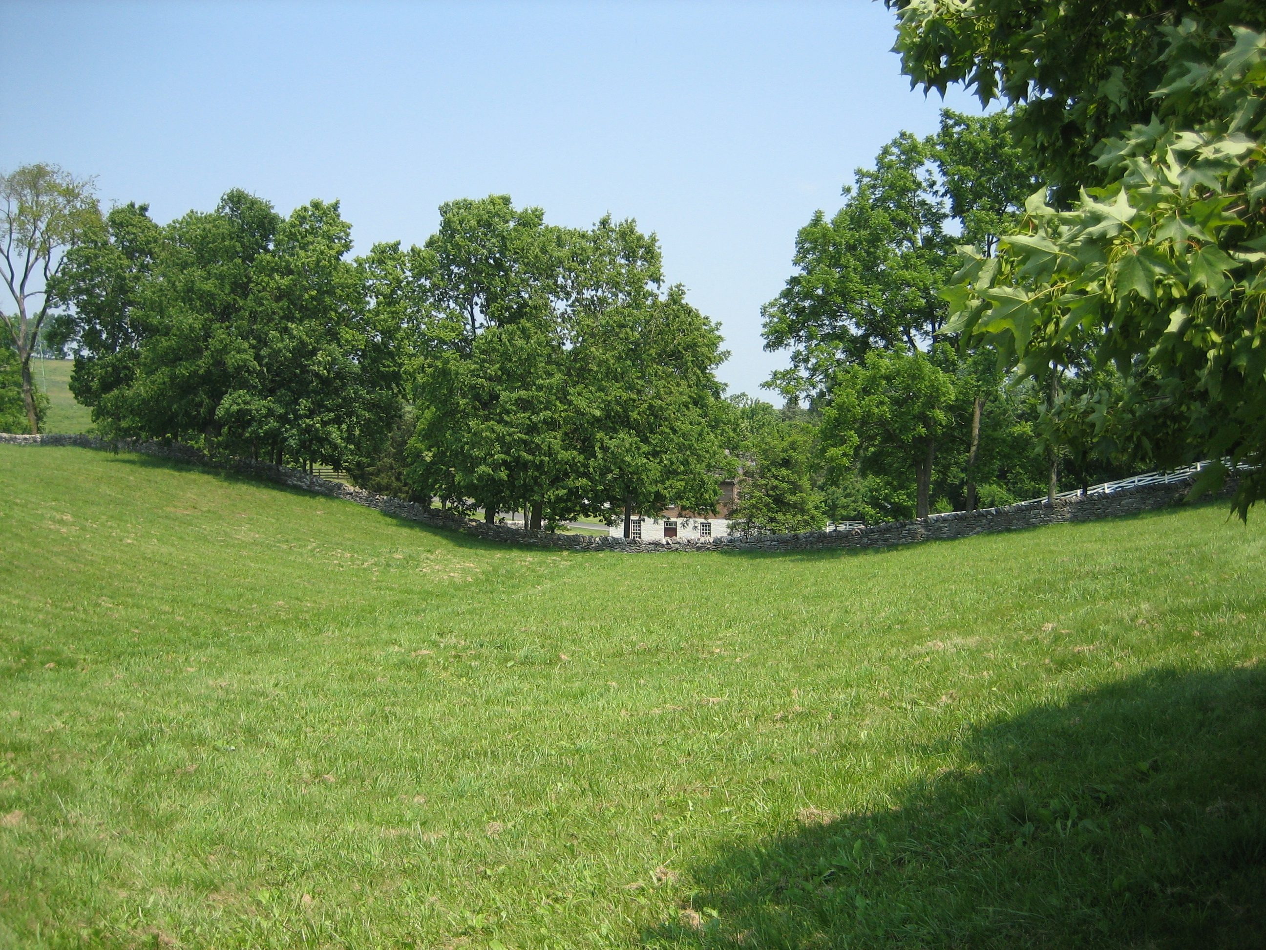
Landscape, Pleasant Hill Shaker Settlement — Shakertown, Mercer County, Kentucky
View through the field to the Wash House

Perryville Battlefield stream (vertical)

Pleasant Hill

Cow says 'Moo'
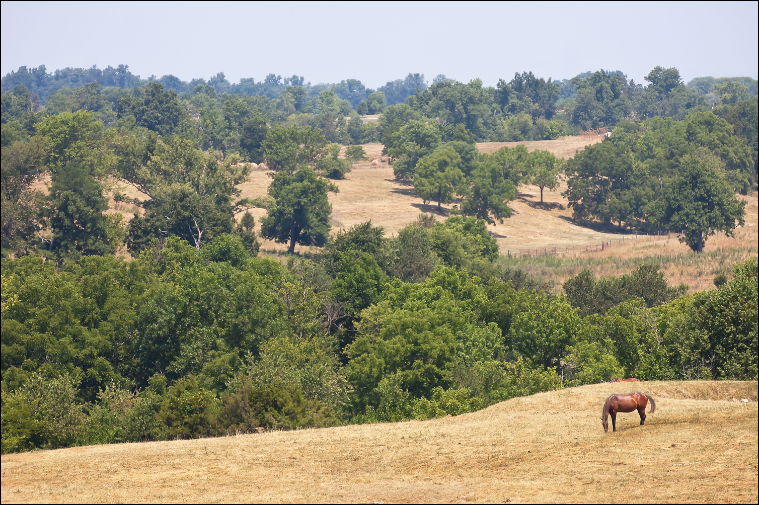
Peaceful Hills
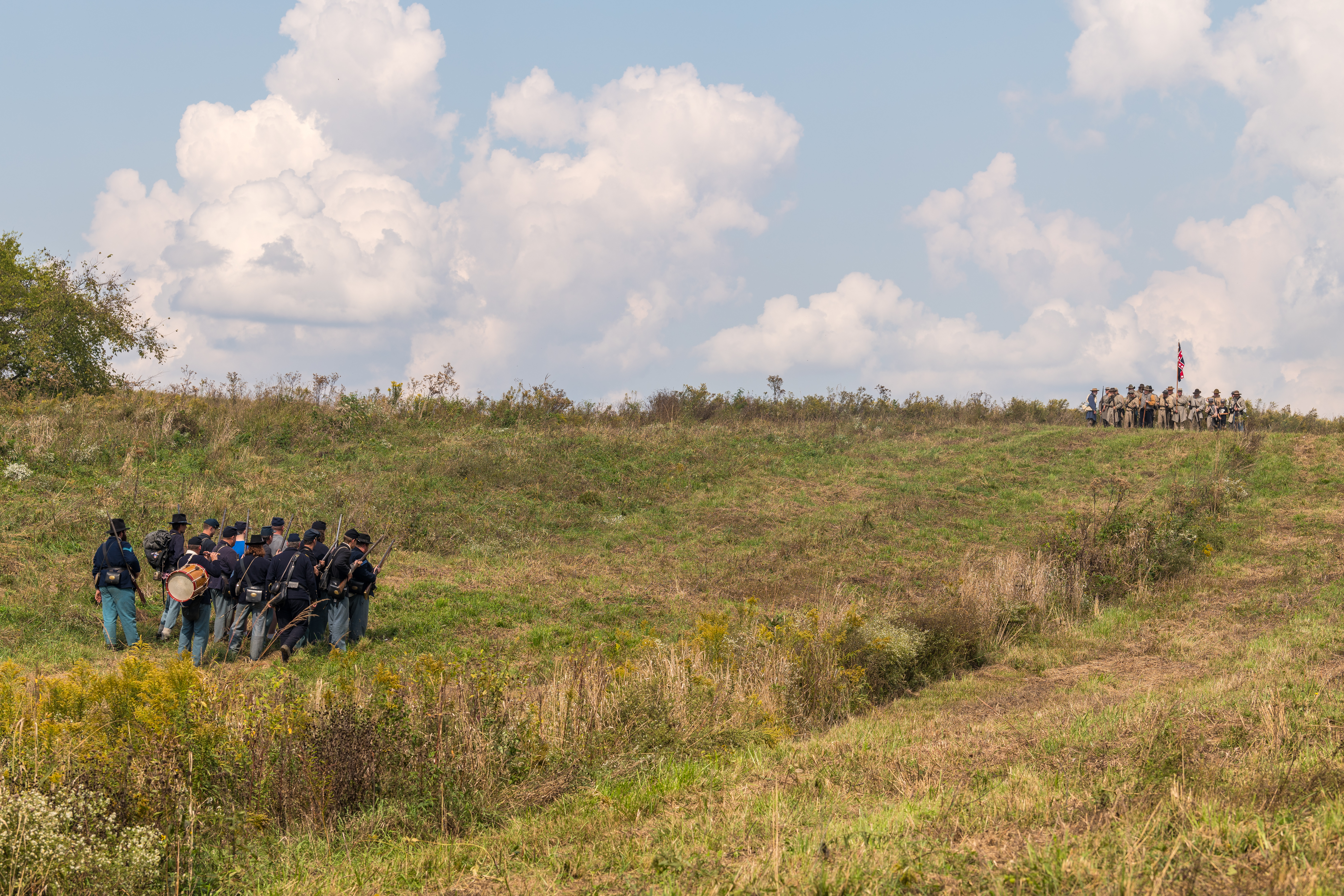
Battle for Kentucky
Shaker Creek at sunset

Clash on the Battlefield
Fulling Mill Falls
Perryville Battlefield
07.12.10-pm07.56
Landscape — Shakertown Vicinity, Mercer County, Kentucky
Shaker Village
Perryville Battlefield

Trees-Sky-Clouds
Doctor's Fork, Perryville Battlefield
Farm Equipment @ Shaker Village of Pleasant Hill
Perryville Battlefield
Black Shed
Power Plant over the Dix River
Perryville Battlefield, wide
Topographic Map of S Main St, Harrodsburg, KY, USA
Find elevation by address:

Places near S Main St, Harrodsburg, KY, USA:
Harrodsburg
850 Warwick Rd
Burgin
Main St, Harrodsburg, KY, USA
Perryville Rd, Harrodsburg, KY, USA
Boyle County
559 Springhill Rd
Alton Rd, Danville, KY, USA
Lakeview Point Rd, Harrodsburg, KY, USA
Nichols St, Danville, KY, USA
413 Locust St
Danville
S 3rd St, Danville, KY, USA
E Main St, Danville, KY, USA
675 Bradley Ln
1020 Battlefield Rd
1020 Battlefield Rd
60 Westridge Dr
225 Waveland Ave
43 Little Needmore Rd, Danville, KY, USA
Recent Searches:
- Elevation of Congressional Dr, Stevensville, MD, USA
- Elevation of Bellview Rd, McLean, VA, USA
- Elevation of Stage Island Rd, Chatham, MA, USA
- Elevation of Shibuya Scramble Crossing, 21 Udagawacho, Shibuya City, Tokyo -, Japan
- Elevation of Jadagoniai, Kaunas District Municipality, Lithuania
- Elevation of Pagonija rock, Kranto 7-oji g. 8"N, Kaunas, Lithuania
- Elevation of Co Rd 87, Jamestown, CO, USA
- Elevation of Tenjo, Cundinamarca, Colombia
- Elevation of Côte-des-Neiges, Montreal, QC H4A 3J6, Canada
- Elevation of Bobcat Dr, Helena, MT, USA