Elevation of S Main St, Fall River, MA, USA
Location: United States > Massachusetts > Bristol County > Fall River >
Longitude: -71.157765
Latitude: 41.699523
Elevation: 42m / 138feet
Barometric Pressure: 101KPa
Elevation Map:
Satellite Map:
Related Photos:

Bristol Ferry Lighthouse

Bristol Ferry Light
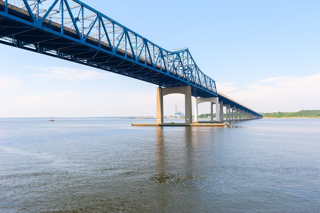
Charles M. Braga Jr. Memorial Bridge

View From Below The Seapowet Bridge

Peakaboo Sunset

Hog Island Shoal Lighthouse

Profile Rock Sunset

Bristol Rhode Island

The Tiverton Coast

Mount Hope Bay at Dawn
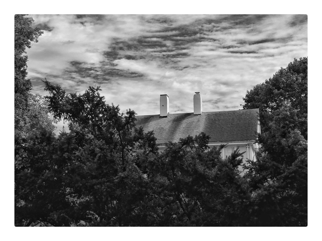
TWO CHIMNEYS

1870 Boathouse at 38 Matthewson Rd Barrington RI

the edge of the ledge

Dock #13: Open Wide

Early Morning Myst

The Golden so-called Dark Woods
Fall River_20090418_037

Fall Reeds

Taylor Green at the Ledge

Brayton Towers implosion
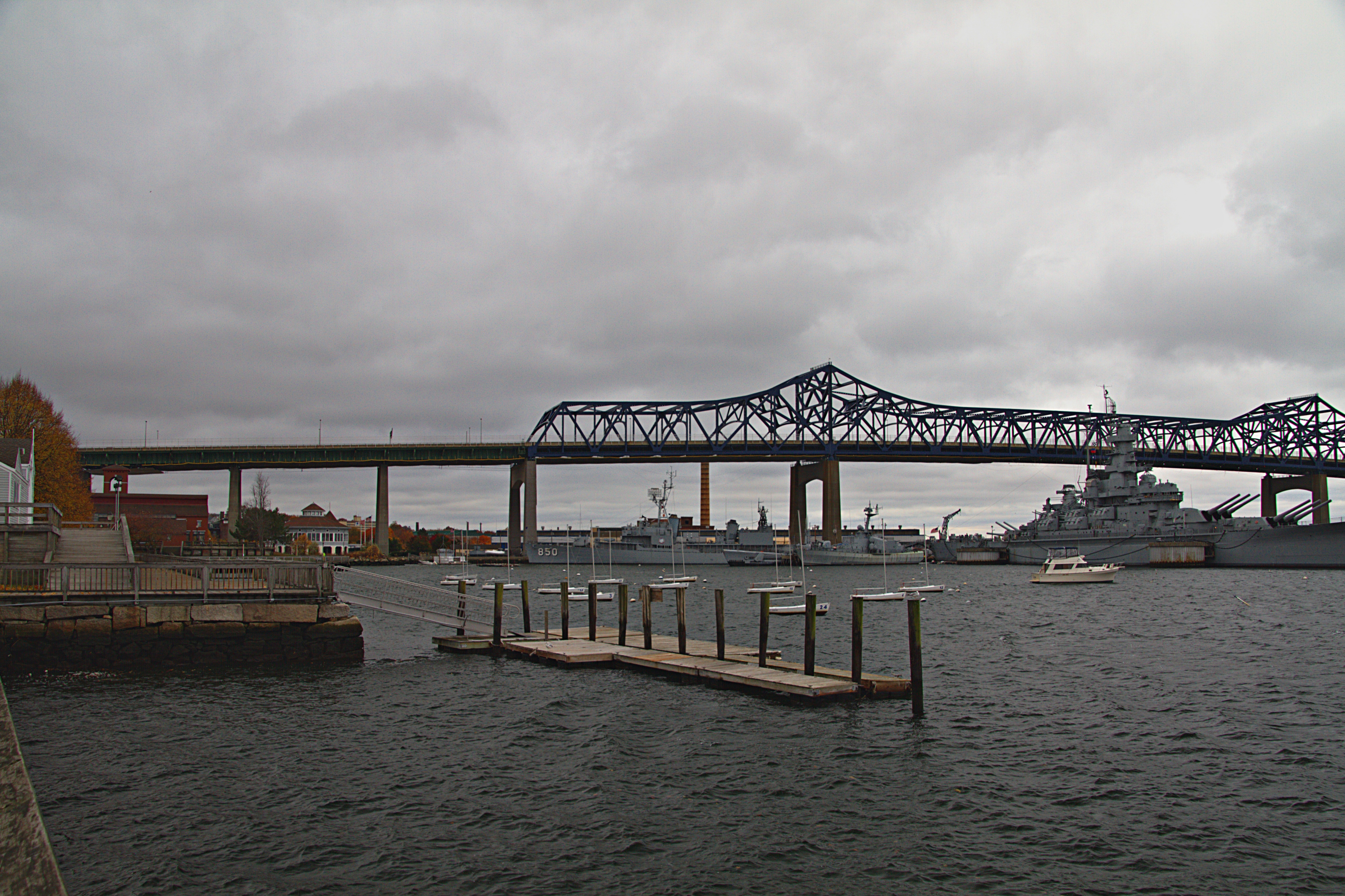
Battleship Cove - Fall River
Topographic Map of S Main St, Fall River, MA, USA
Find elevation by address:

Places near S Main St, Fall River, MA, USA:
Milliken Boulevard
Fall River
286 Whipple St
Bay Street
Fall River, MA, USA
529 Bay St
135 Wilcox St
80 William S Canning Blvd
951 Stafford Rd
52 Globe Mills Ave
52 Globe St
Fall River, MA, USA
338 Birch St
50 Laplante St
2500 S Main St
Atlantic Boulevard
501 Summit St
266 Fish Rd
41 Kenyon Rd
10 High Ridge Terrace
Recent Searches:
- Elevation of Elwyn Dr, Roanoke Rapids, NC, USA
- Elevation of Congressional Dr, Stevensville, MD, USA
- Elevation of Bellview Rd, McLean, VA, USA
- Elevation of Stage Island Rd, Chatham, MA, USA
- Elevation of Shibuya Scramble Crossing, 21 Udagawacho, Shibuya City, Tokyo -, Japan
- Elevation of Jadagoniai, Kaunas District Municipality, Lithuania
- Elevation of Pagonija rock, Kranto 7-oji g. 8"N, Kaunas, Lithuania
- Elevation of Co Rd 87, Jamestown, CO, USA
- Elevation of Tenjo, Cundinamarca, Colombia
- Elevation of Côte-des-Neiges, Montreal, QC H4A 3J6, Canada