Elevation of S Kerr Rd, Scott, AR, USA
Location: United States > Arkansas > Lonoke County > Pulaski Township >
Longitude: -92.058661
Latitude: 34.787389
Elevation: 75m / 246feet
Barometric Pressure: 100KPa
Elevation Map:
Satellite Map:
Related Photos:

I'm just a little guy in a big world.

blooming iPhone shot
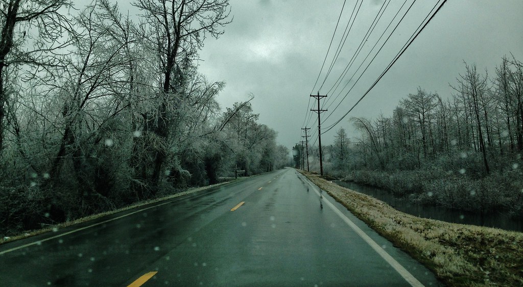
iPhone driveby shooting
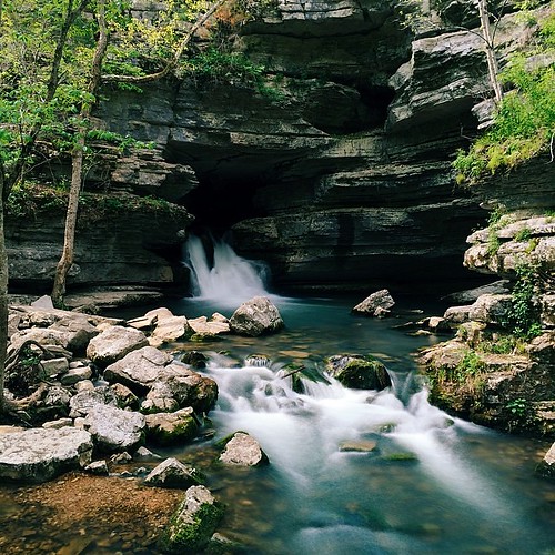
Realized the other day that 90% of my shots are outdoors. I'm OK with that—I'd rather be outdoors 90% of the time.
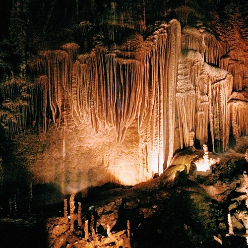
I took Liam to some pretty neat caverns yesterday. It was his first time; he loved it. They weren't allowing anyone to take anything inside the caves because of the bat's White-Nose Syndrome, but... #cavestagram
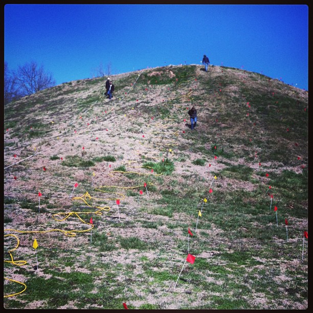
ERT remote sensing on Mound B at Toltec Mounds
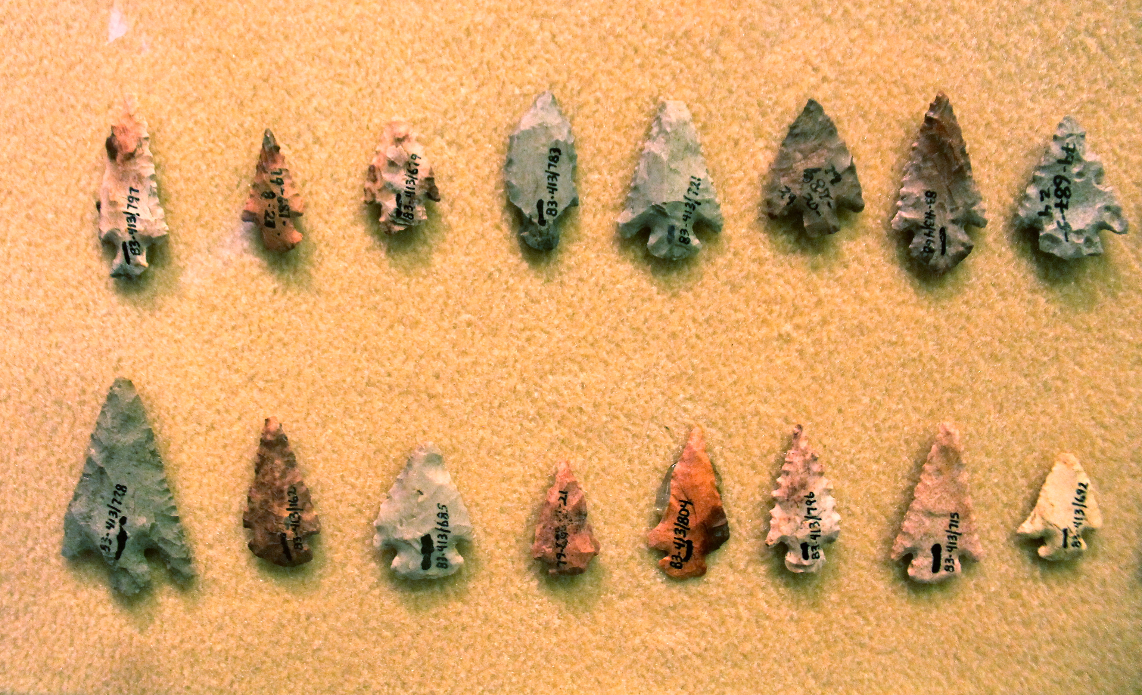
Chert Arrowheads

This old house.

Flickr/Twitter test post
Ghosts of the Past
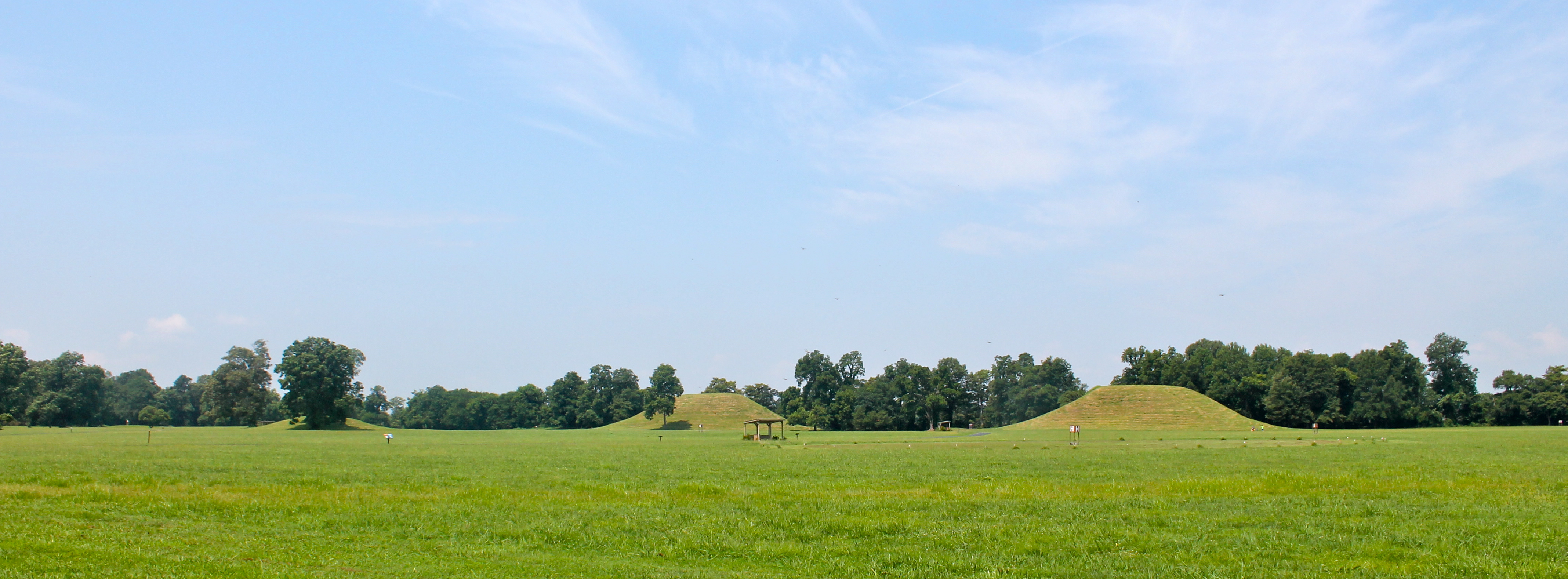
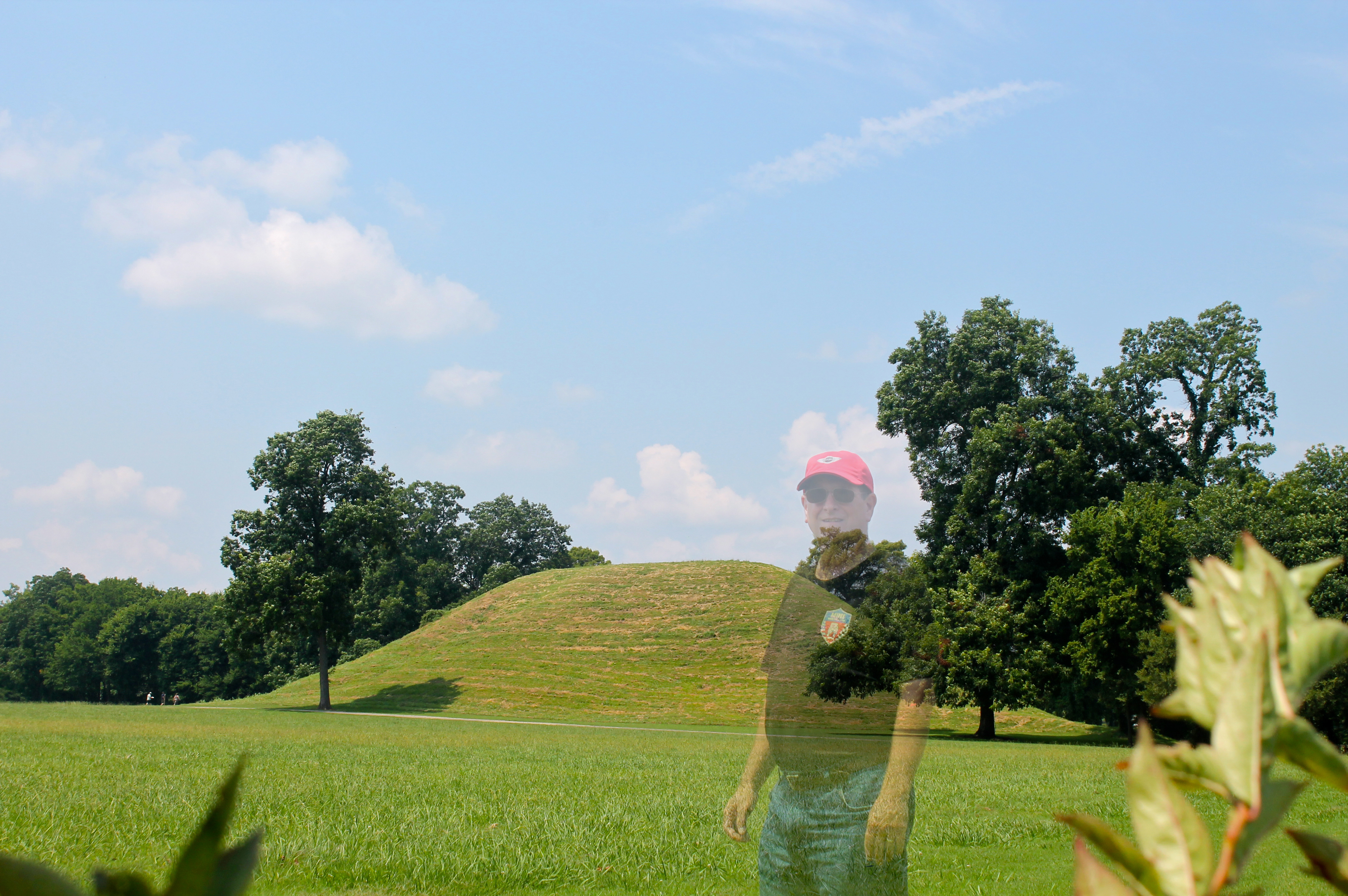
Indian Mounds

ERT remote sensing at Mound B at Toltec Mounds...

The Sunrise.
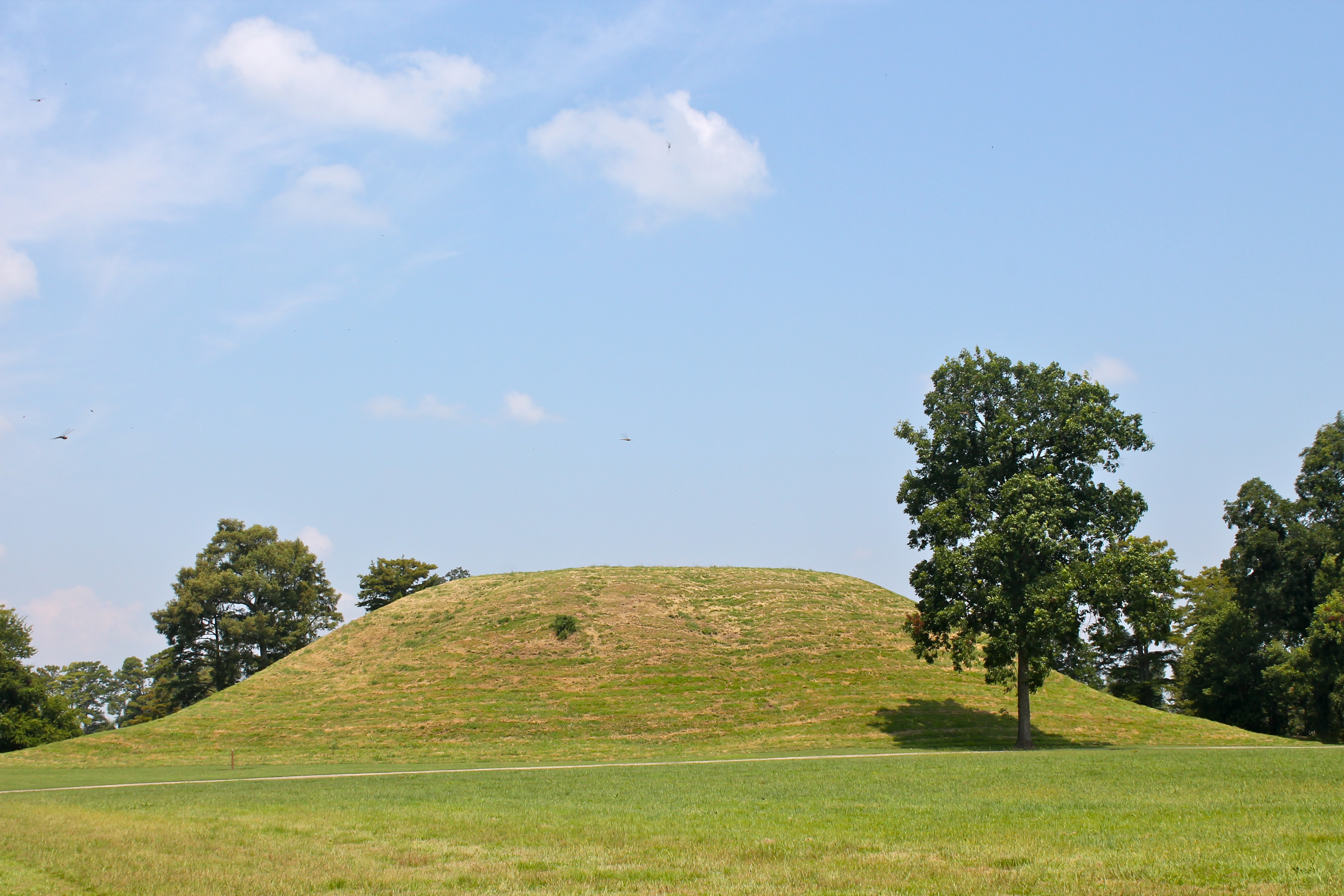
Mound A
IMG_0228 (2)
IMG_0460 (2)
Seasonal Beauty of the "Old Mill"_DSC2230

IMG_0039 (2)

Seasonal Beauty of the "Old Mill"_DSC2191
Seasonal Beauty of the "Old Mill"_DSC2124

Storybook sunset
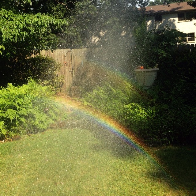
Watering the garden and making rainbows.
Seasonal Beauty of the "Old Mill"_DSC2117
IMG_0461 (2)
Topographic Map of S Kerr Rd, Scott, AR, USA
Find elevation by address:

Places near S Kerr Rd, Scott, AR, USA:
Pulaski Township
Bearskin Lake Loop, Scott, AR, USA
AR-15, Lonoke, AR, USA
Dortch Township
10 Bearskin Lake Rd, Scott, AR, USA
Scott
40 Johnson Rd, Scott, AR, USA
Williams Township
AR-, Scott, AR, USA
9605 Ar-161
Richwoods Township
9605 Ar-161
Lonoke County
625 W Ash St
Warren Rd, England, AR, USA
Lonoke
Lonoke, AR, USA
Lonoke Township
Hwy 31, Lonoke, AR, USA
US-70, Carlisle, AR, USA
Recent Searches:
- Elevation of Kreuzburger Weg 13, Düsseldorf, Germany
- Elevation of Gateway Blvd SE, Canton, OH, USA
- Elevation of East W.T. Harris Boulevard, E W.T. Harris Blvd, Charlotte, NC, USA
- Elevation of West Sugar Creek, Charlotte, NC, USA
- Elevation of Wayland, NY, USA
- Elevation of Steadfast Ct, Daphne, AL, USA
- Elevation of Lagasgasan, X+CQH, Tiaong, Quezon, Philippines
- Elevation of Rojo Ct, Atascadero, CA, USA
- Elevation of Flagstaff Drive, Flagstaff Dr, North Carolina, USA
- Elevation of Avery Ln, Lakeland, FL, USA