Elevation of S Gertruda Ave, Redondo Beach, CA, USA

Longitude: -118.38105

Latitude: 33.8217987

Elevation: 40m / 131feet

Barometric Pressure: 101KPa

Elevation Map:

elevation map of S Gertruda Ave, Redondo Beach, CA, USA

Satellite Map:

Satellite map of S Gertruda Ave, Redondo Beach, CA, USA

Related Photos:

sunset wallpaper bird geotagged waves seagull hermosabeach yobs hbw slightbokeh butsugiri ©davidjstern
Yobsters Livingston
cabrillobeach california southerncalifornia sky clouds sanpedro
At Home in the Tropics
california southerncalifornia peninsula lighthouse drone dronephotography pointvicente ptvicente palosverdespeninsulacalifornia palosverdes
The Sentinel (explored 06/09/22 at 232)
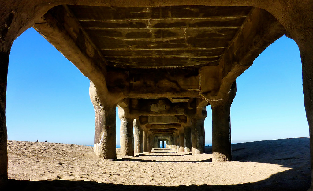
flagged trackhead trackheadstudios adamhall trackheadxxx bridges beach losangeles manhattanbeach pacific pacificocean pacificshore pacificshoreline
Pier Pressure
sanpedro san pedro paseodelmar paseo delmar coastal california ca
Prime Coastal View
dronephotography drone ptfermin pointfermin lighthouse southerncalifornia california pacificocean sunset colors
Light's Out (explored 02/28/22 at 279)
ptfermin sanpedro california southerncalifornia architecture victorianarchitecture sunset colorful pointfermin lighthouse drone
Our Victorian Lighthouse (explored 03/16/22 at 188)
moon fullmoon bluemoon sanpedro california southerncalifornia
Blue Moon Over a Pink Cloud
lighthouse ptvicente pointvicente pointvicentelighthouse sunset drone dronephotography explored
Saying Goodbye to Summer (explored 09/14/22 at 109)
torrancebeach beach pacificocean sunset clouds cloudscape sky california socal southerncalifornia
The Right Place, The Right Time (explored 11/04/22 at 156)
california sky usa mountain water america ship unitedstates wave pacificocean saltwater manhattanbeachpier postedonflickr photosbydavid jfflickr transportation
Pier View 2016 02 05 12
america california manhattanbeachpier pacificocean usa unitedstates jfflickr person photosbydavid pier postedonflickr saltwater sky stranger water wave
Pier View 2016 02 05 15
ocean california sunset art beach water sand nikon long exposure redondo nd110 d7000 promoteremotecontrol ©markpatton
Last Light
world travel reise viajes america northamerica usa unitedstates losangeles laxairport lax airport runway sunset sonnenuntergang atardecer aeropuerto flughafen puestadesol architecture arquitectura architektur modernarchitecture abstractarchitecture paisajes panorama landscape city ciudades cityscape cityview outdoor
Los Angeles Int. Airport
ocean california sunset sunlight beach water reflections pier movement sand waves pacific manhattan wetsand
end of the day
ocean christmas trees beach pacific pacificocean adamhall pacificshore pacificshoreline trackhead trackheadstudios trackheadxxx
Christmas on Manhattan Pier
g l a m o r o u s
battleshipiowamuseum ussiowa sanpedrocalifornia portoflosangeles pola pacificocean warship sunsetskyclouds containership mainchannel clouds waterfront maritime 293134in34gaddg1182020 753226in67g4182020 949237in72g112021 add7g3or4p112021 30favs 990297in82g112321 996297in84gaddlastg11272021 terminalisland vincentthomasbridge nationalmuseumofthesurfacenavy g 1014297113021 1022297in86gaddlast1242021 bb61 harbor wwii ww2 grey gray hull pacificbattleshipcenter gregbishopphotography mainchannelfromiowabow
Battleship Iowa at sunset, Port of Los Angeles
bridge vincentthomasbridge portoflosangeles sanpedrocalifornia nightphotography misty harbor waterfront abridgetoofar bridges span beautyunnoticed panorama darkness inexplore explored 1000views onethousandviews yourbestmostseenphotosonflickrp1a2
Spanning the mist ( Explored )
Catalina Channel in the early morning
ocean california city travel blue sea vacation usa water basketball canon court landscape photo losangeles photographer pacific salt picture adobe catalinaisland southerncalifornia oceanview sanpedro 2010 angelsgatepark interrestingness 40d topazadjust topazdenoise photographersnaturecom davetoussaint lookoutpointpark photoshoptopazlabs explore10oct10
Spectacular View from the Court