Elevation of S Front St, Putnam, TX, USA
Location: United States > Texas >
Longitude: -99.193444
Latitude: 32.3703565
Elevation: 491m / 1611feet
Barometric Pressure: 96KPa
Elevation Map:
Satellite Map:
Related Photos:

View through the Stone

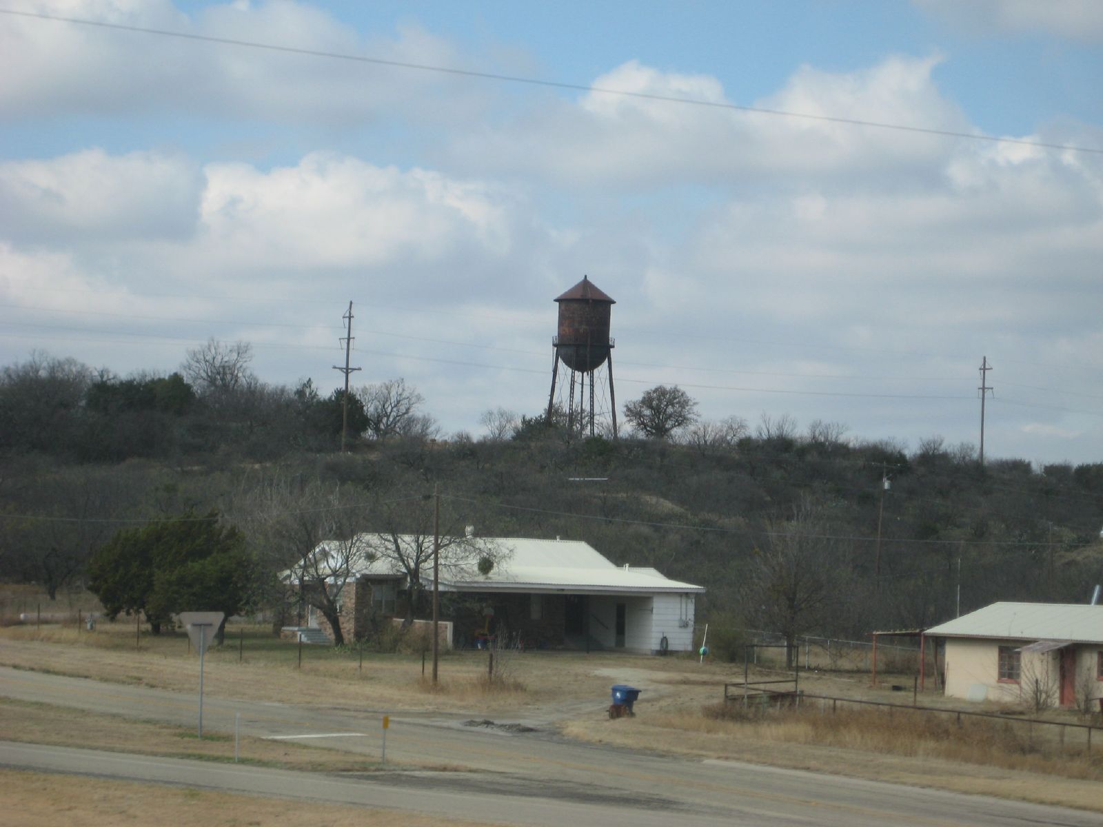
Scranton Stone Chimney

Three Nails Ranch

Sensitive Briar

drvfrmOK 117
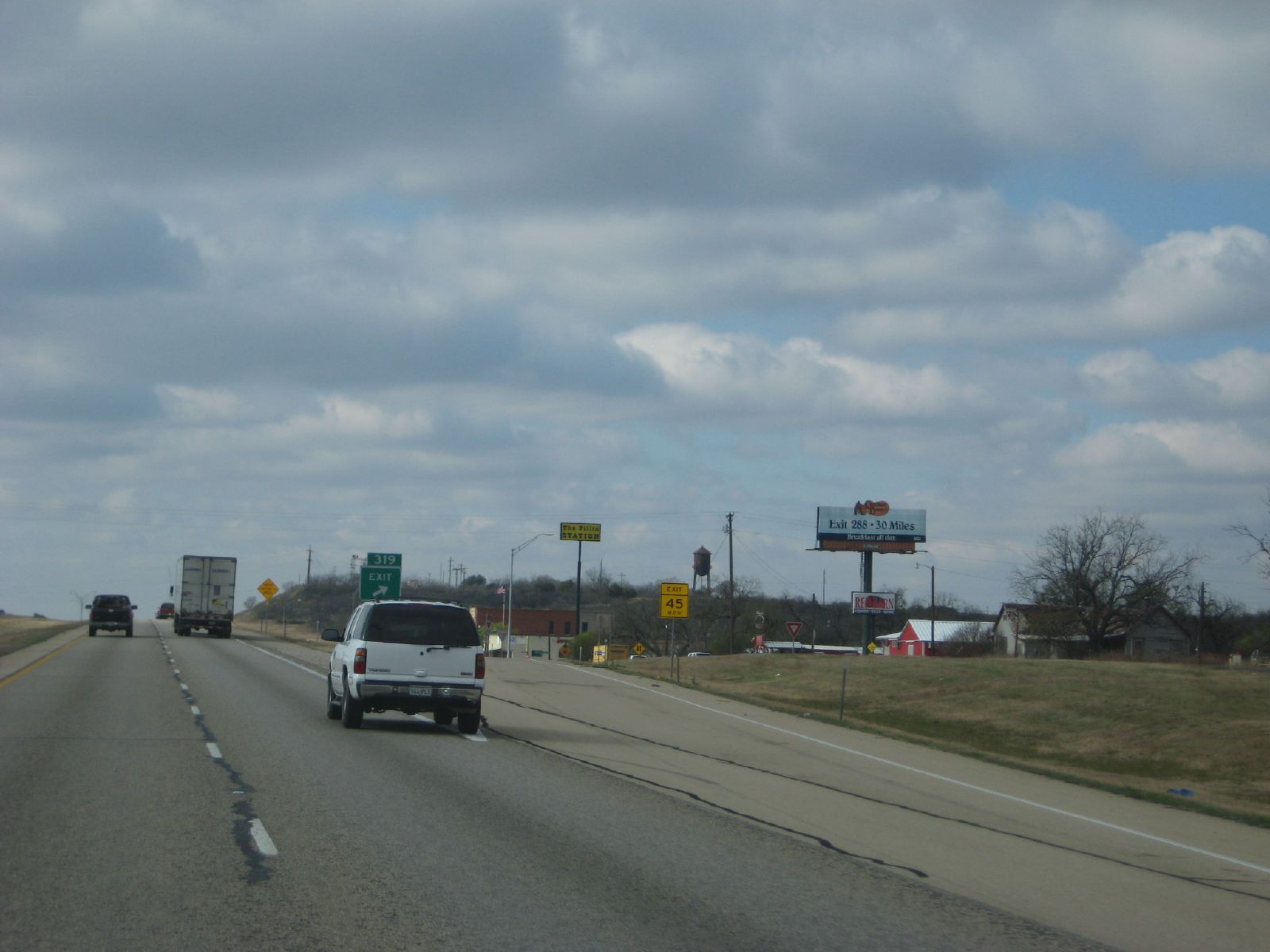
exit 319: putnam, tx
drvfrmOK 119

Good Grazin'

Scranton Springtime

Burst of Color

After the Storm

Community Center & Gym

Yellow Indian Blankets with Reds

Old House in Field

Spring Brings Hope
Topographic Map of S Front St, Putnam, TX, USA
Find elevation by address:

Places near S Front St, Putnam, TX, USA:
818 Co Rd 143
702 Fm 2945
Weber St, Moran, TX, USA
Moran
Baird
Lake Cisco
Cisco
7 Saddle Ridge Dr
8 Saddle Ridge Dr
Clyde
8935 Co Rd 262
Co Rd, Breckenridge, TX, USA
2402 Tx-112
Albany
Eastland
County Road 165
Shackelford County
Elmdale Airpark-82ts
Co Rd, Abilene, TX, USA
8201 I-20
Recent Searches:
- Elevation of Elwyn Dr, Roanoke Rapids, NC, USA
- Elevation of Congressional Dr, Stevensville, MD, USA
- Elevation of Bellview Rd, McLean, VA, USA
- Elevation of Stage Island Rd, Chatham, MA, USA
- Elevation of Shibuya Scramble Crossing, 21 Udagawacho, Shibuya City, Tokyo -, Japan
- Elevation of Jadagoniai, Kaunas District Municipality, Lithuania
- Elevation of Pagonija rock, Kranto 7-oji g. 8"N, Kaunas, Lithuania
- Elevation of Co Rd 87, Jamestown, CO, USA
- Elevation of Tenjo, Cundinamarca, Colombia
- Elevation of Côte-des-Neiges, Montreal, QC H4A 3J6, Canada