Elevation of S Fork Church Rd, Piney Creek, NC, USA
Location: United States > North Carolina > Alleghany County > Piney Creek > Piney Creek >
Longitude: -81.306856
Latitude: 36.5454602
Elevation: 870m / 2854feet
Barometric Pressure: 91KPa
Elevation Map:
Satellite Map:
Related Photos:

Forgotten House in the Hills

Old New River House

Virginia Hills

Mount Rogers

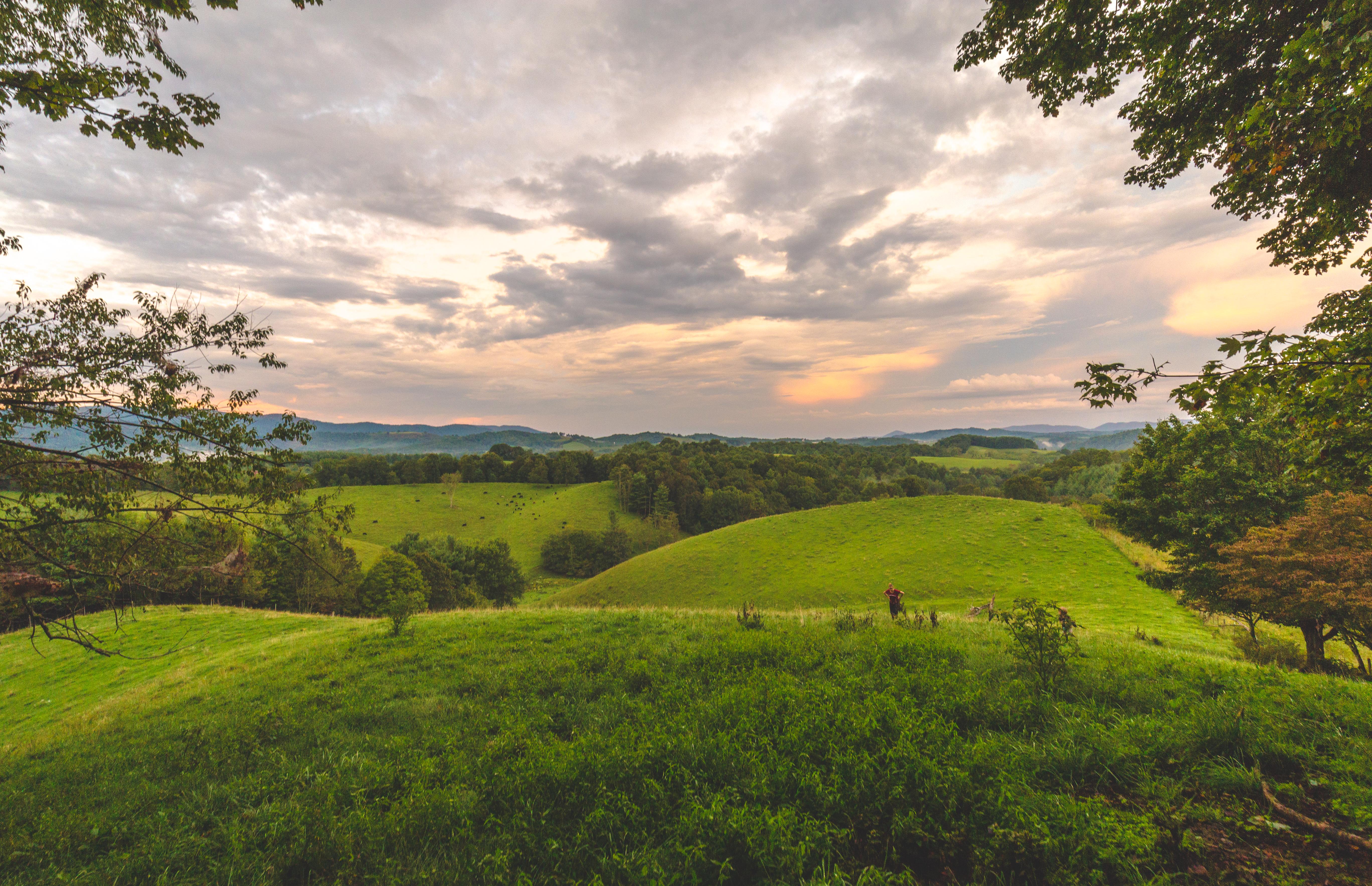
view from up the hill

grayson-20071013 (53)

Mountain view from the meadow above our cabin

grayson-20071013 (52)

Mountain view just up the hill from our cabin

grayson-20071013 (51)

grayson-20071013 (07)

grayson-20071013 (02)

grayson-20071013 (50)

grayson-20071013 (48)

grayson-20071013 (05)

grayson-20071013 (47)

grayson-20071013 (01)

grayson-20071013 (49)

grayson-20071013 (06)

grayson-20071013 (08)

grayson-20071013 (04)
Virginia Hills Sunset

Entering North Carolina (Alleghany County, North Carolina)

SWVA -- My Second Home

Through The Grass

Over the Hills and Far Away

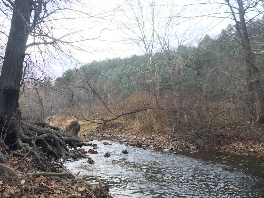
river and her momma to be

Farmers Fish Camp Road bridge damage

Shatley Springs Cabins and Trading Post, Ashe County

Great arch at stone mountain

118/365: Thursday, April 28, 2011: DeBoard's Fox Hunt Farm, Grassy Creek, Ashe County, North Carolina

New River at Scottville, North Carolina

Huckleberry Ridge, Scottville, North Carolina
Great arch at stone mountain

Entering Virginia (Grayson County, Virginia)

Allegany Section New River State Park 20111009 4474

New River State Park

Jennifer, Bobbi, and Carol racing

Christmas Tree Farm
Topographic Map of S Fork Church Rd, Piney Creek, NC, USA
Find elevation by address:

Places near S Fork Church Rd, Piney Creek, NC, USA:
809 Piney Creek School Rd
808 Piney Creek School Rd
246 Deer Valley Rd
85 Raven Rd
Raven Road
Raven Road
209 Raven Rd
66 Grouse Way
288 New Ridge Ln
204 Raven Rd
386 Raven Rd
Nc 1303b
46 Spring Meadows Way
21 Appalachian Way
83 Waterview Ln
629 Deerwood Rd
824 Deerwood Rd
767 Deerwood Rd
899 Deerwood Rd
333 Tri State Knoll
Recent Searches:
- Elevation of Congressional Dr, Stevensville, MD, USA
- Elevation of Bellview Rd, McLean, VA, USA
- Elevation of Stage Island Rd, Chatham, MA, USA
- Elevation of Shibuya Scramble Crossing, 21 Udagawacho, Shibuya City, Tokyo -, Japan
- Elevation of Jadagoniai, Kaunas District Municipality, Lithuania
- Elevation of Pagonija rock, Kranto 7-oji g. 8"N, Kaunas, Lithuania
- Elevation of Co Rd 87, Jamestown, CO, USA
- Elevation of Tenjo, Cundinamarca, Colombia
- Elevation of Côte-des-Neiges, Montreal, QC H4A 3J6, Canada
- Elevation of Bobcat Dr, Helena, MT, USA