Elevation of S Co Rd W, Westport, IN, USA
Location: United States > Indiana > Decatur County > Jackson Township >
Longitude: -85.678704
Latitude: 39.160458
Elevation: 233m / 764feet
Barometric Pressure: 99KPa
Elevation Map:
Satellite Map:
Related Photos:
A Window In Time
Bottom Of The Hill

jr high 2008_0701

Are you going up?
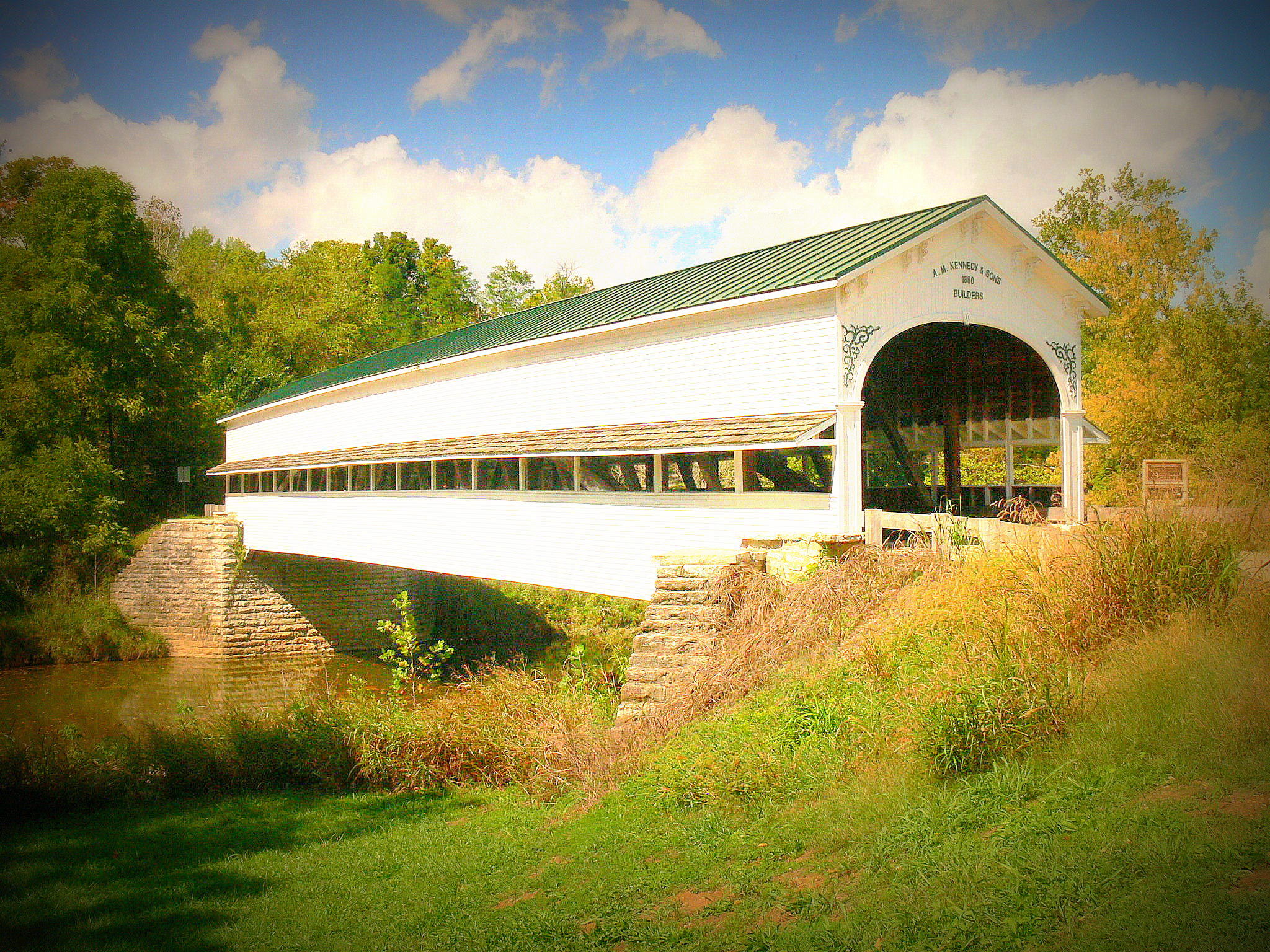
Covered bridge, Westport, Indiana
Covered bridge, Westport, Indiana

Cut In Half

My view of the world

Oldenburg, Indiana, USA

Anderson Falls

Golden Field

Anderson Falls
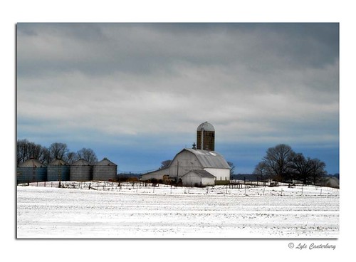
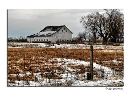
Winter Farm

093.JPG

Cloudy Day

056.JPG
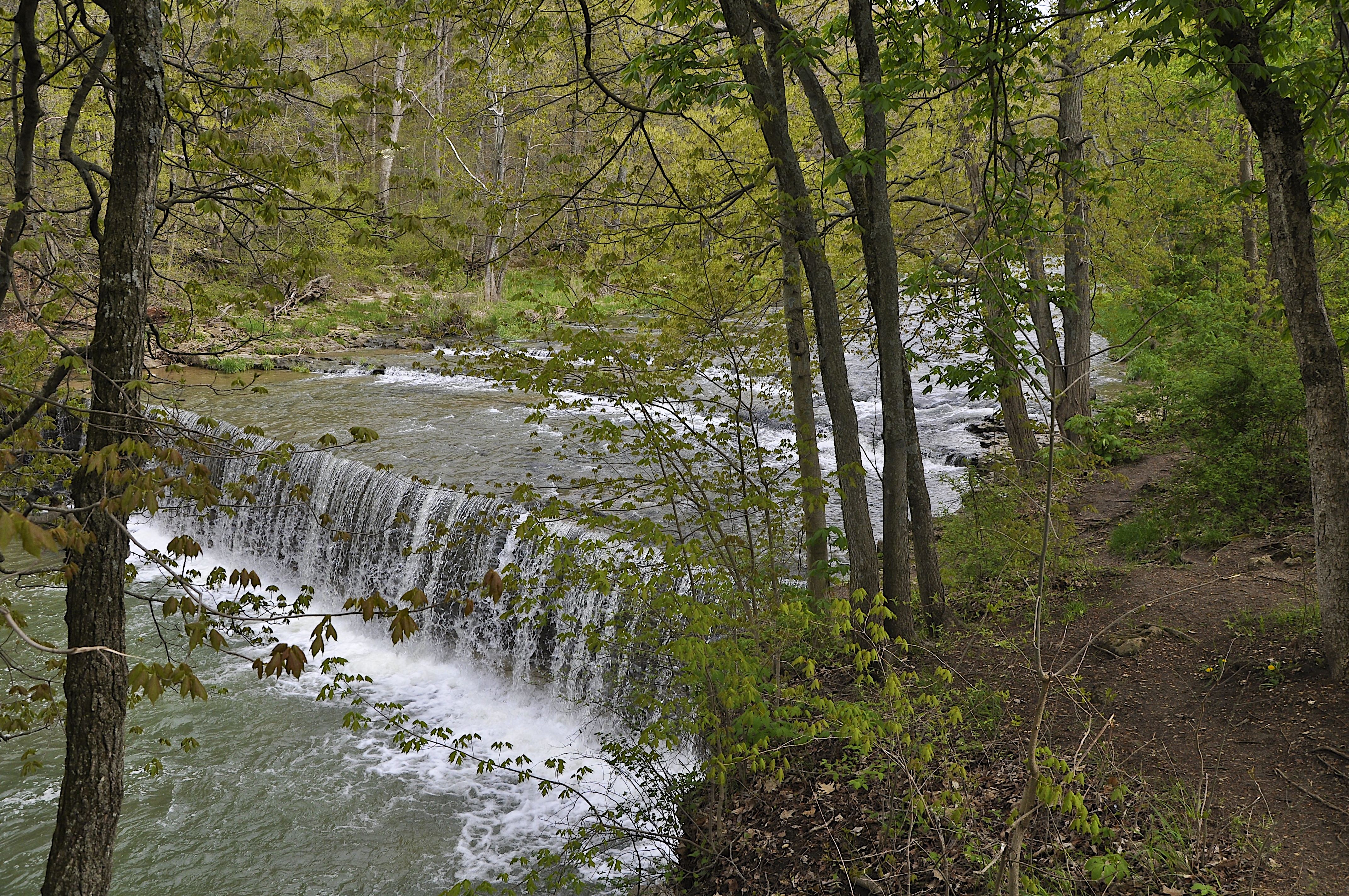
Anderson Falls
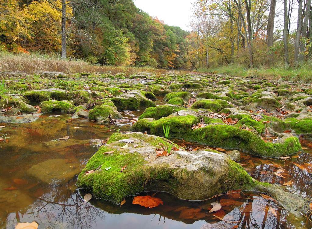
Mossy Rocks

082.JPG

Location Scouting

081.JPG

066.JPG

Family at Ceraland
Anderson Falls
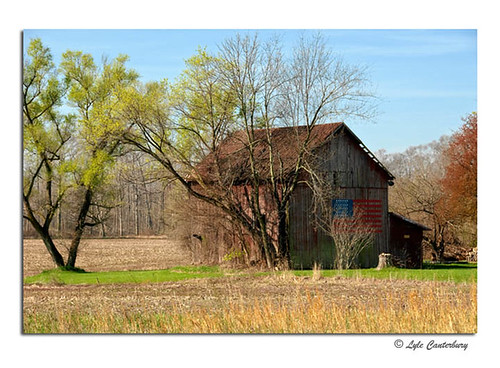
Patriotic Barn

Anderson Falls

Family at Ceraland

IMG_9881_edited-2

Yesterday's Fog
Winter Scene
Topographic Map of S Co Rd W, Westport, IN, USA
Find elevation by address:

Places near S Co Rd W, Westport, IN, USA:
Jackson Township
IN-3, Westport, IN, USA
Geneva Township
Sand Creek Township
IN-7, Scipio, IN, USA
Scipio
Clifty Township
E S, Elizabethtown, IN, USA
Market St, North Vernon, IN, USA
IN-46, Columbus, IN, USA
Westport
S Co Rd W, Greensburg, IN, USA
IN-3, Greensburg, IN, USA
S Co Rd W, Westport, IN, USA
Center Township
Sandcreek Township
Sandcreek Township
Sandcreek Township
Sandcreek Township
Sandcreek Township
Recent Searches:
- Elevation of Groblershoop, South Africa
- Elevation of Power Generation Enterprises | Industrial Diesel Generators, Oak Ave, Canyon Country, CA, USA
- Elevation of Chesaw Rd, Oroville, WA, USA
- Elevation of N, Mt Pleasant, UT, USA
- Elevation of 6 Rue Jules Ferry, Beausoleil, France
- Elevation of Sattva Horizon, 4JC6+G9P, Vinayak Nagar, Kattigenahalli, Bengaluru, Karnataka, India
- Elevation of Great Brook Sports, Gold Star Hwy, Groton, CT, USA
- Elevation of 10 Mountain Laurels Dr, Nashua, NH, USA
- Elevation of 16 Gilboa Ln, Nashua, NH, USA
- Elevation of Laurel Rd, Townsend, TN, USA