Elevation of S Birdsong, San Antonio, TX, USA
Location: United States > Texas > Bexar County > San Antonio > Stone Oak >
Longitude: -98.49727
Latitude: 29.6214397
Elevation: 303m / 994feet
Barometric Pressure: 98KPa
Elevation Map:
Satellite Map:
Related Photos:

20140320-sunrise over bella cresta-21EN.jpg
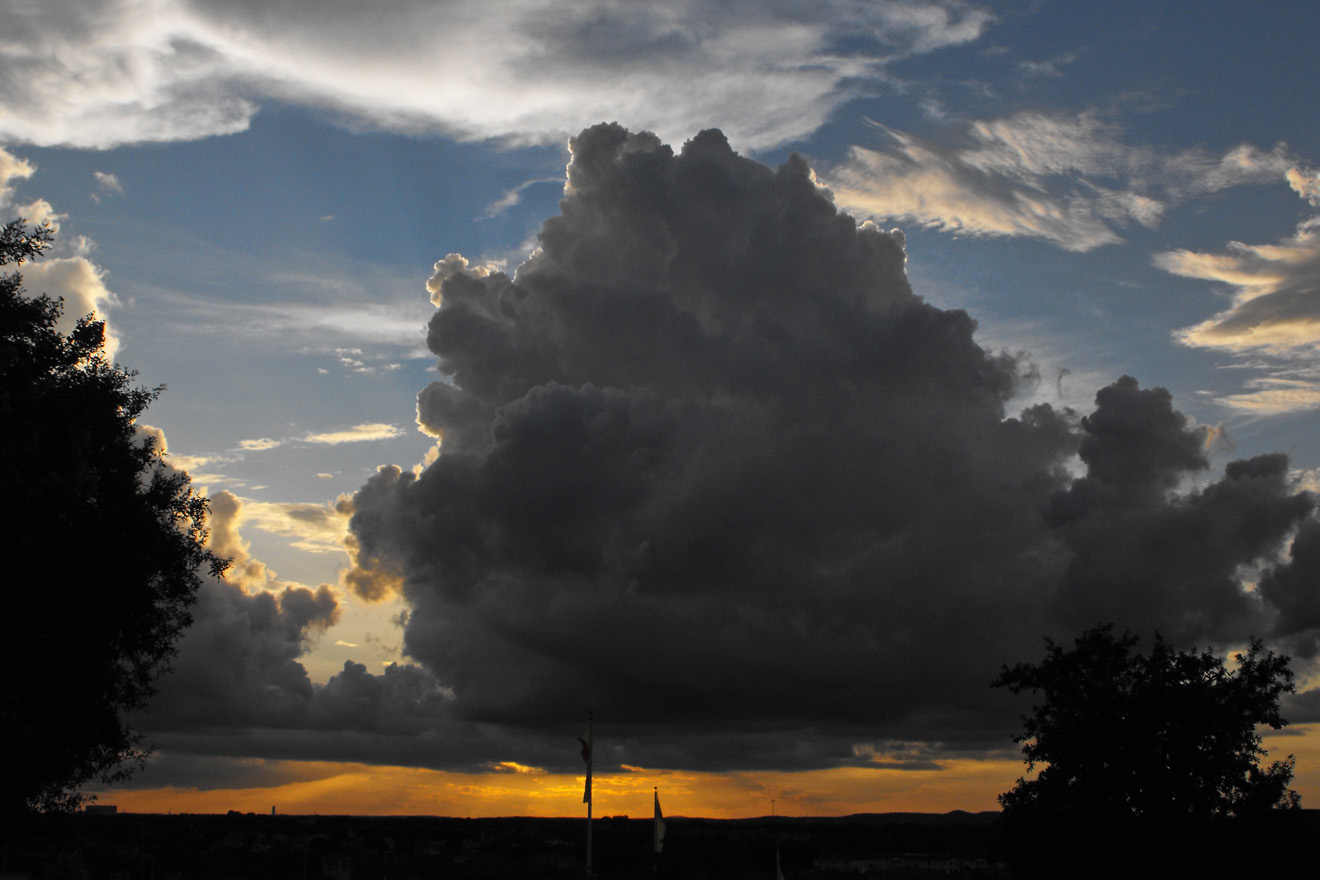
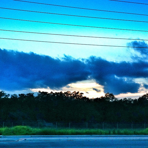
massive cloud at sunset

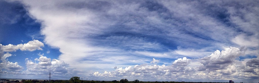
Boiling clouds
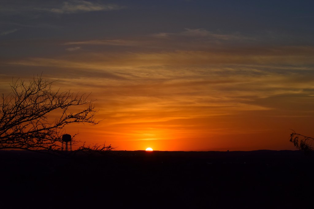
The Final Sliver

IMAG0322_HDR.jpg

~~ As Heaven Approaches ~~

~~~Midsummer Dream~~~

~~~Texas Dreaming~~~

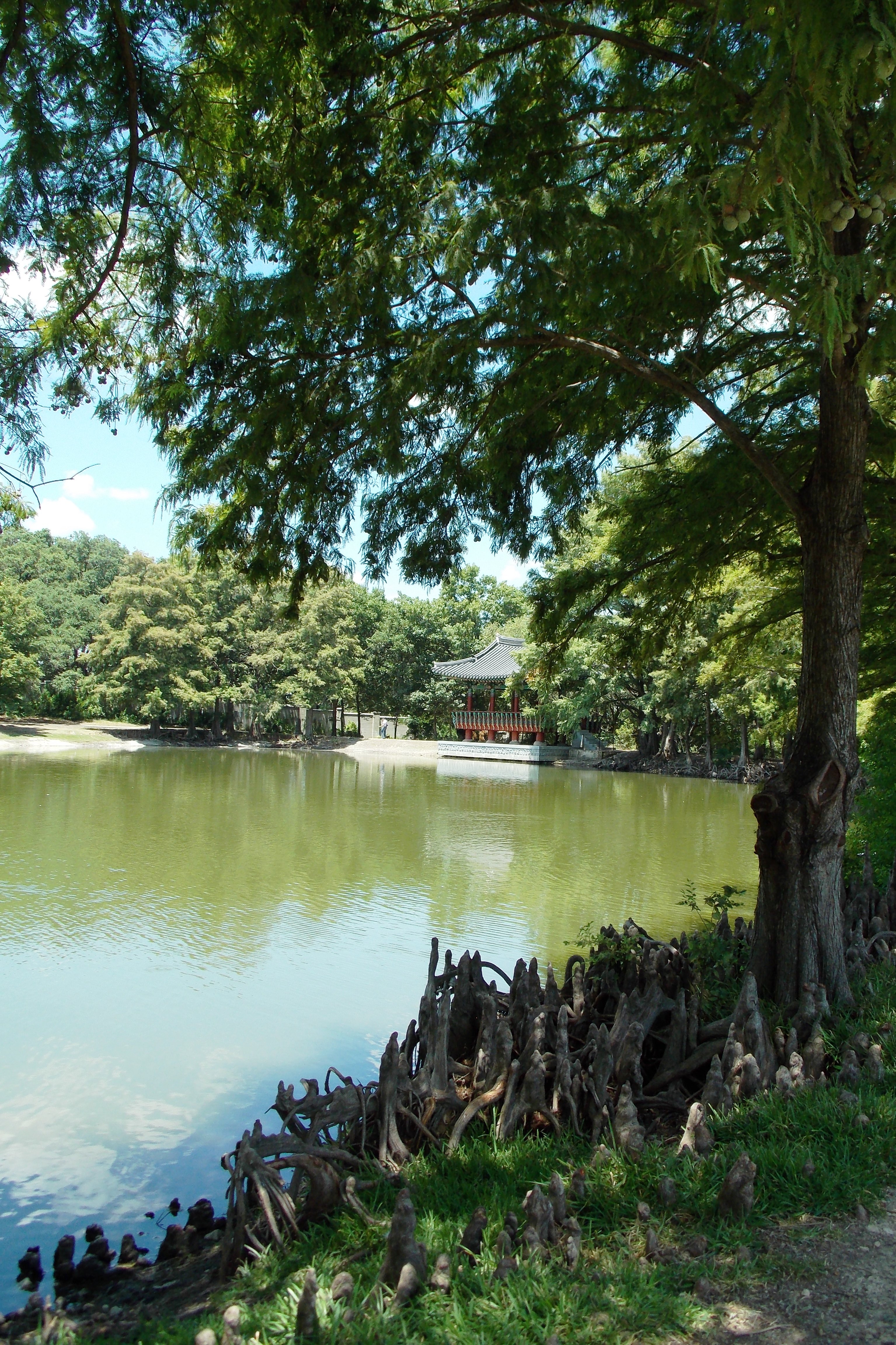
My Lovelies, this is a photo taken in Our Texas Hill Country, see we do have trees here in Texas and rivers, lakes and oceans

Sunset from an airplane window

Sun Setting On the Tesoro Headquarters
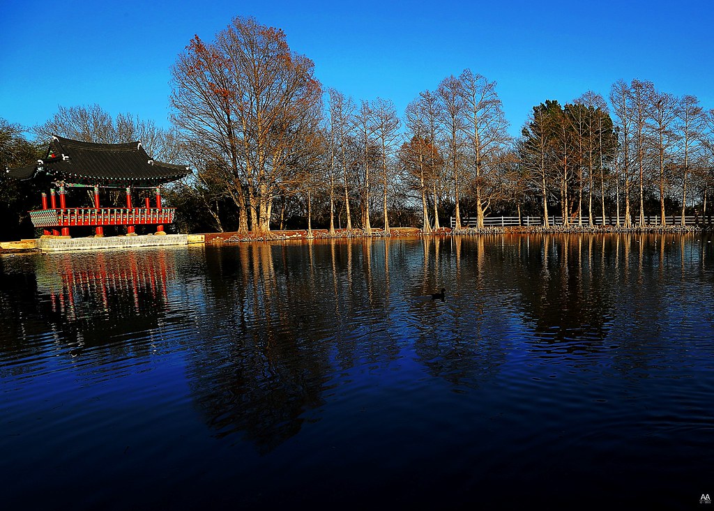
Denman Park Lone Duck In Pond HDR

A Trip on the Boardwalk
#sanantonio #hillcountry #jwmarriott
#igers #texas #trip #sunset #ontheroad
Landscape with the sky

Clouds at Sunset

Six Flags Fiesta TX

Hay roll
.

Old Lone Star Quarry. #SanAntonio
Topographic Map of S Birdsong, San Antonio, TX, USA
Find elevation by address:

Places near S Birdsong, San Antonio, TX, USA:
19000 Ronald Reagan
Ronald Reagan High School
Ronald Reagan Drive
17906 Winter Hill
Banda Show Internacional
San Antonio Texas Temple
Stone Oak
Far North Central
Donella Dr, San Antonio, TX, USA
Martin Marietta - San Pedro Quarry
68 Michelangelo
Cloud Gate
Deerfield
Rogers Pass
Tomahawk Trail, San Antonio, TX, USA
Oak Haven Heights
118 Tower Dr
Santa Fe Trail New Mexican Cuisine
534 Canyon Rise
606 Olivia Dale
Recent Searches:
- Elevation of W Granada St, Tampa, FL, USA
- Elevation of Pykes Down, Ivybridge PL21 0BY, UK
- Elevation of Jalan Senandin, Lutong, Miri, Sarawak, Malaysia
- Elevation of Bilohirs'k
- Elevation of 30 Oak Lawn Dr, Barkhamsted, CT, USA
- Elevation of Luther Road, Luther Rd, Auburn, CA, USA
- Elevation of Unnamed Road, Respublika Severnaya Osetiya — Alaniya, Russia
- Elevation of Verkhny Fiagdon, North Ossetia–Alania Republic, Russia
- Elevation of F. Viola Hiway, San Rafael, Bulacan, Philippines
- Elevation of Herbage Dr, Gulfport, MS, USA