Elevation of S 8th St, Humboldt, IA, USA
Location: United States > Iowa > Humboldt County > Humboldt >
Longitude: -94.218482
Latitude: 42.7149034
Elevation: 325m / 1066feet
Barometric Pressure: 97KPa
Elevation Map:
Satellite Map:
Related Photos:
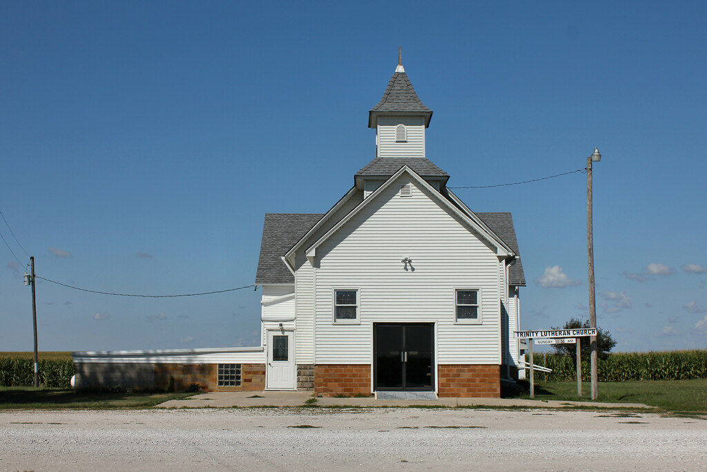
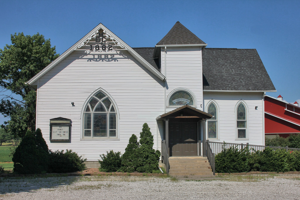
Trinity Lutheran Church - rural Rutland, IA
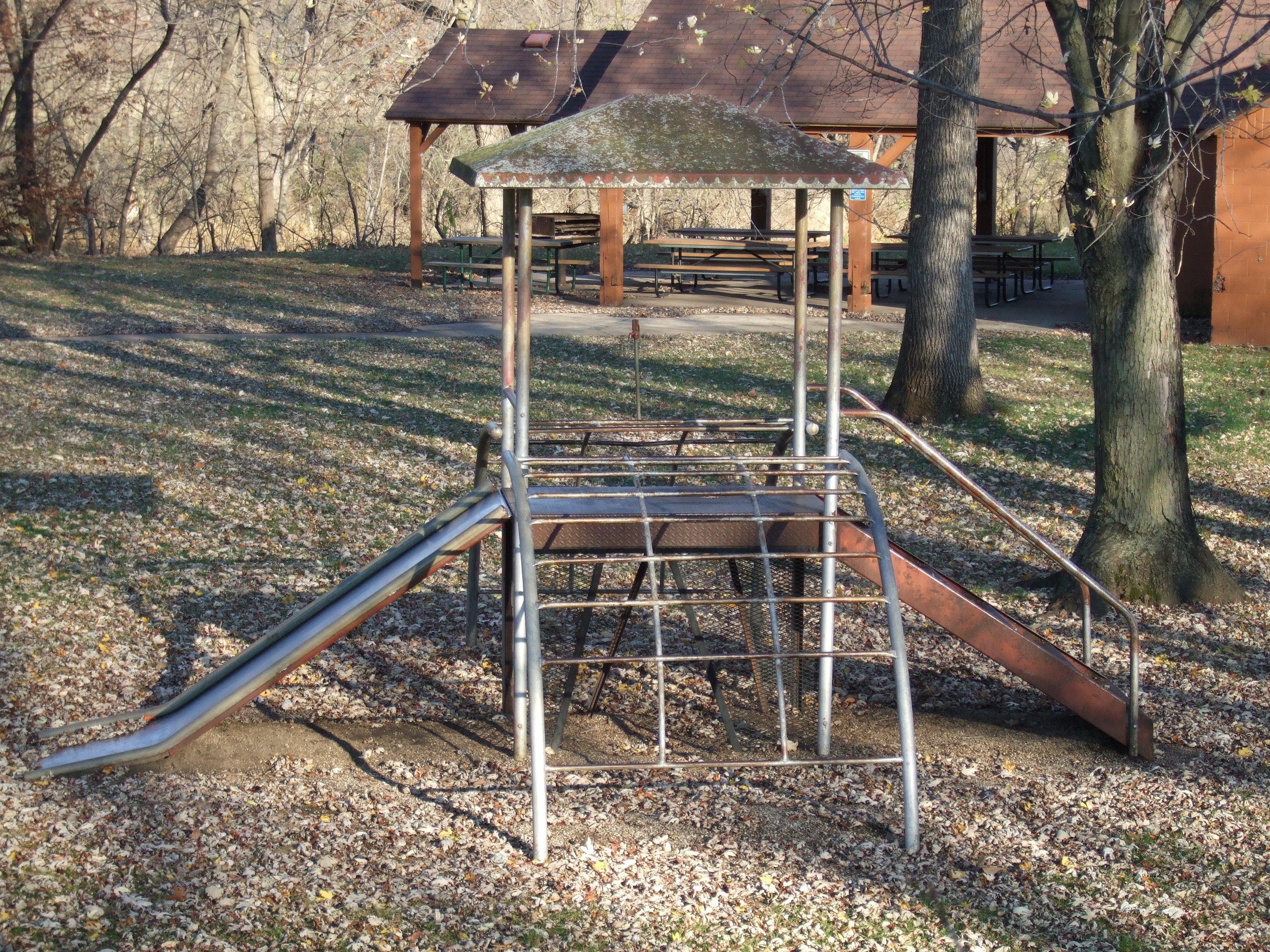
Miracle Jack and Jill

Trinity Lutheran Church - rural Rutland, IA
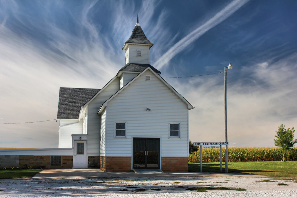
Trinity Lutheran Church - rural Rutland, IA

Trinity Lutheran Church - rural Rutland, IA
Humboldt, Iowa

Humboldt, Iowa

Thor, IA post office

Humboldt, Iowa, Bicknell Park
Hardy United Methodist Church - Dakota City, IA
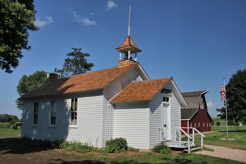
Norway No. 6 School - Dakota City, IA

Petro Pete's Texaco - Dakota City, IA
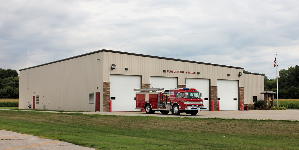
Fire Station - Humboldt, IA

Trinity Lutheran School - rural Fort Dodge, IA
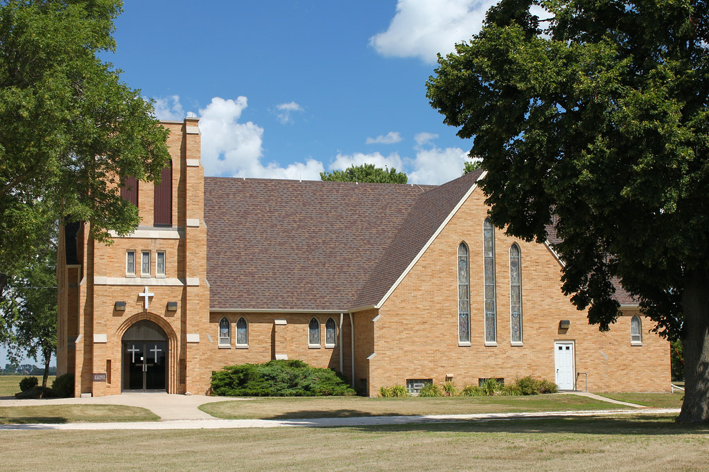
Trinity Lutheran Church - rural Fort Dodge, IA
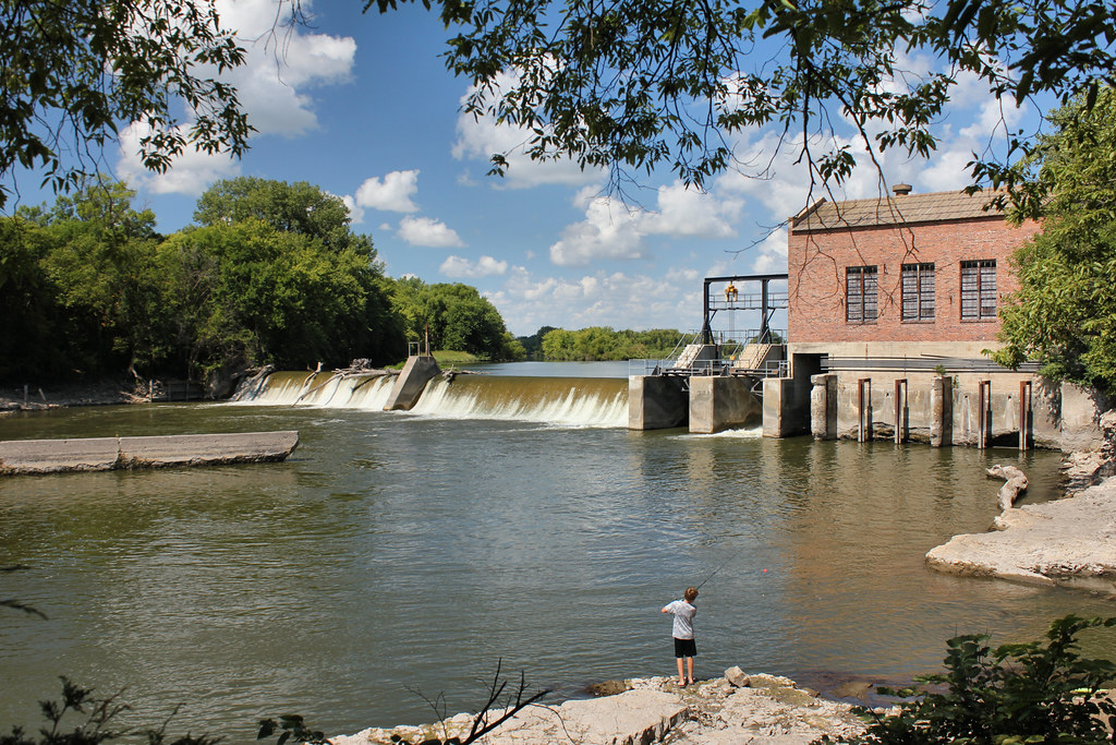
Rutland Dam & Hydroelectric Power Plant - Rutland, IA
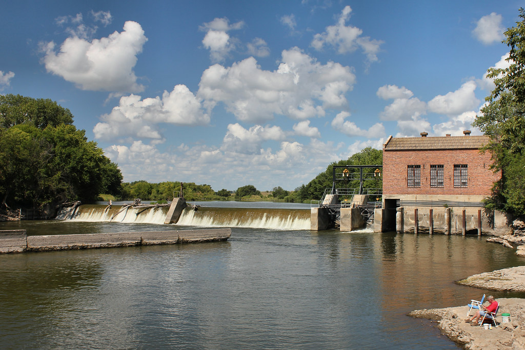
Rutland Dam & Hydroelectric Power Plant - Rutland, IA
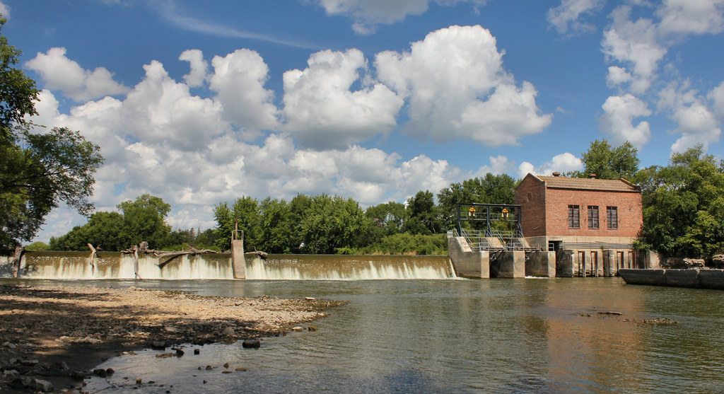
Rutland Dam & Hydroelectric Power Plant - Rutland, IA
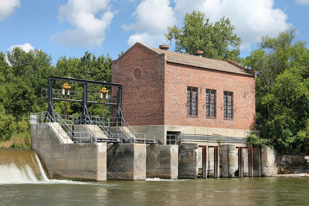
Rutland Dam & Hydroelectric Power Plant - Rutland, IA
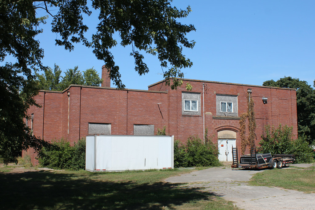
Public School - Rutland, IA
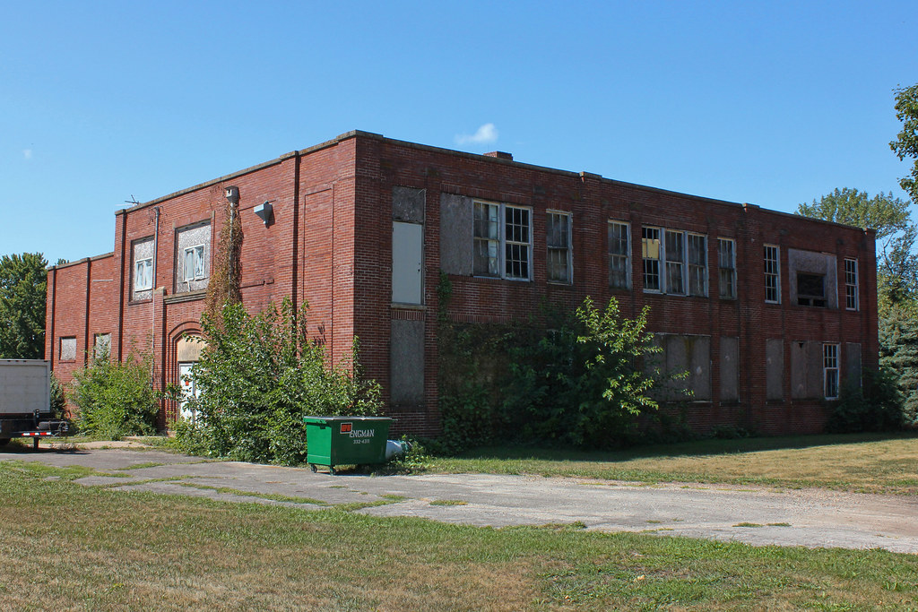
Public School - Rutland, IA

Co-Op Feed Mill - Rutland, IA
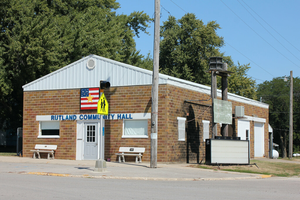
Community Hall - Rutland, IA

Co-Op Grain Elevator - Rutland, IA
Topographic Map of S 8th St, Humboldt, IA, USA
Find elevation by address:

Places near S 8th St, Humboldt, IA, USA:
Humboldt
Sumner Ave, Humboldt, IA, USA
Dakota City
1st Ave N, Dakota City, IA, USA
Humboldt County
2141 Penn Ave
Badger
Badger
1st Ave SE, Badger, IA, USA
4th St, Livermore, IA, USA
Livermore
Humboldt
Ada St, Thor, IA, USA
Norway
Thor
437 Loomis Ave
Dodger Stadium
Dodger Stadium
Fort Dodge
Arthur St, Vincent, IA, USA
Recent Searches:
- Elevation of Woolwine, VA, USA
- Elevation of Lumagwas Diversified Farmers Multi-Purpose Cooperative, Lumagwas, Adtuyon, RV32+MH7, Pangantucan, Bukidnon, Philippines
- Elevation of Homestead Ridge, New Braunfels, TX, USA
- Elevation of Orchard Road, Orchard Rd, Marlborough, NY, USA
- Elevation of 12 Hutchinson Woods Dr, Fletcher, NC, USA
- Elevation of Holloway Ave, San Francisco, CA, USA
- Elevation of Norfolk, NY, USA
- Elevation of - San Marcos Pass Rd, Santa Barbara, CA, USA
- Elevation of th Pl SE, Issaquah, WA, USA
- Elevation of 82- D Rd, Captain Cook, HI, USA