Elevation of Rv77, Røkland, Norway
Location: Norway > Nordland > Saltdal >
Longitude: 15.5564161
Latitude: 66.8070232
Elevation: 246m / 807feet
Barometric Pressure: 98KPa
Elevation Map:
Satellite Map:
Related Photos:

View from Skaiti

View from Skaiti

View from Skaiti

View from Skaiti

View from Skaiti

View from Skaiti
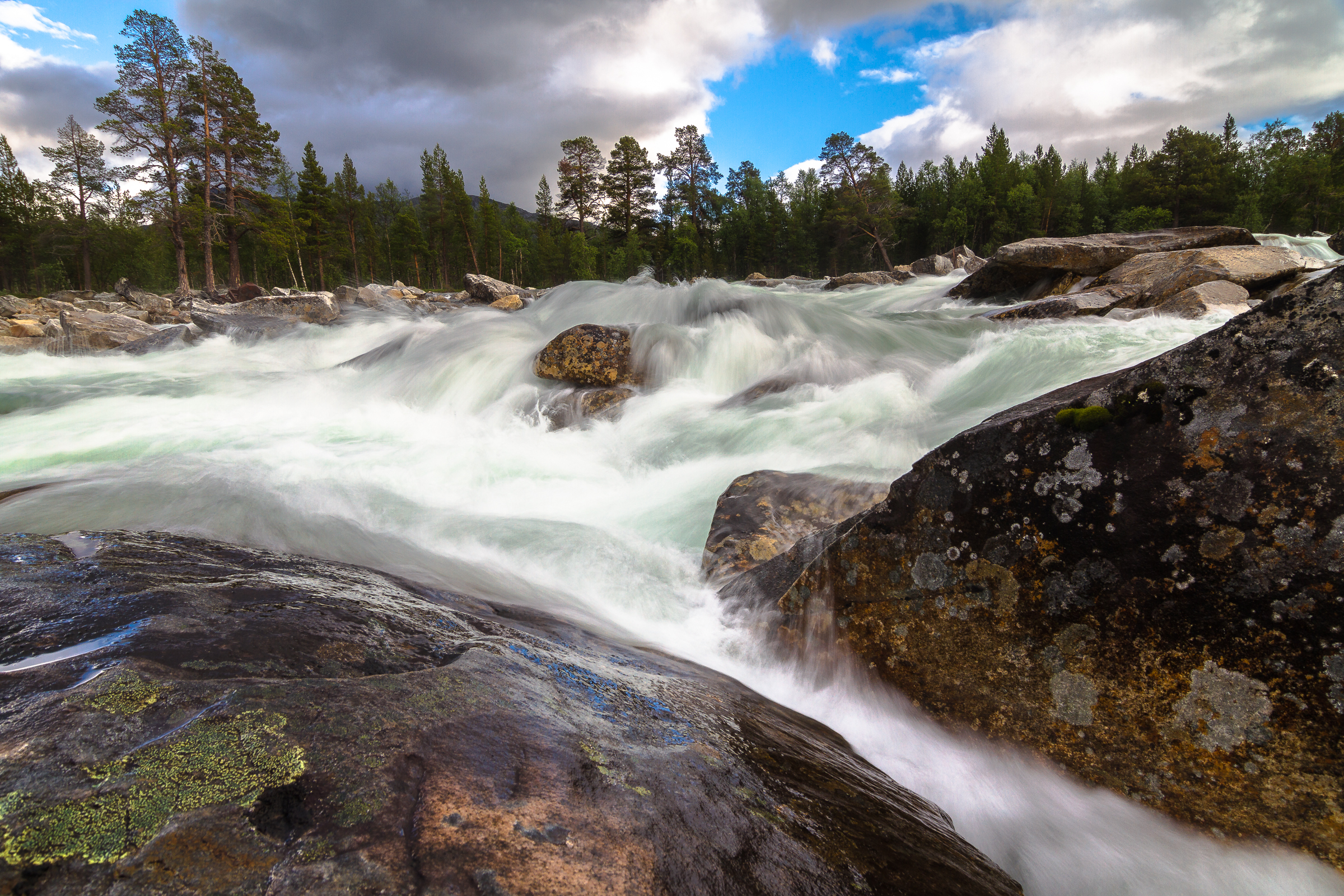
Lønselva

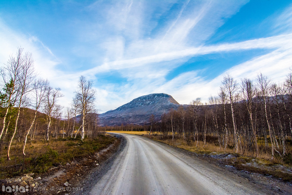
Autumn in Junkerdal

Autumn in arctic

Arctic mountains

Autumn in arctic

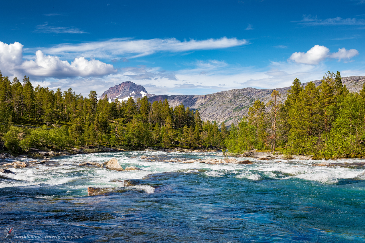
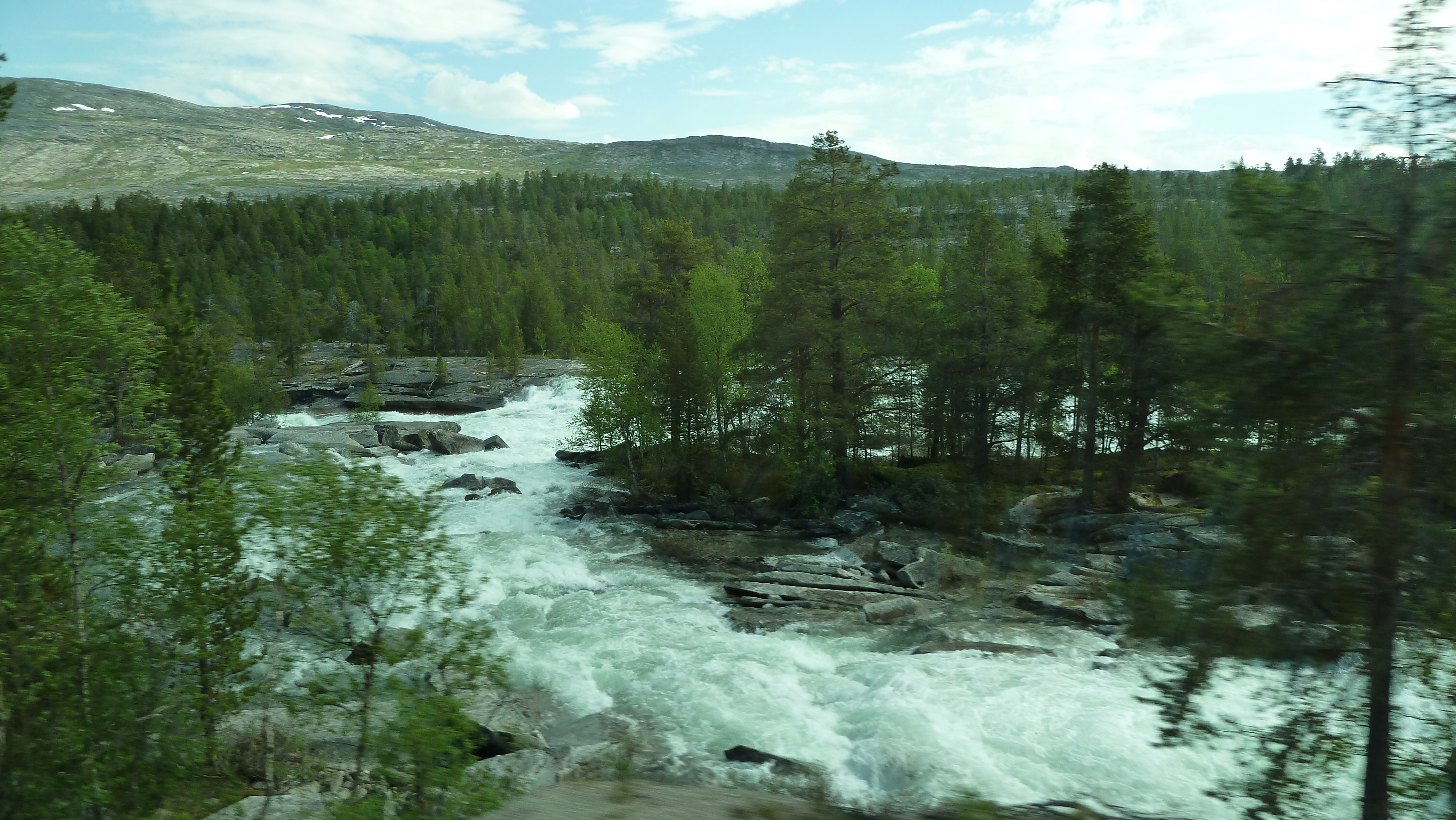
Fall river

Autumn in Junkerdal

Autumn in arctic
#58 Luonosjåhkå
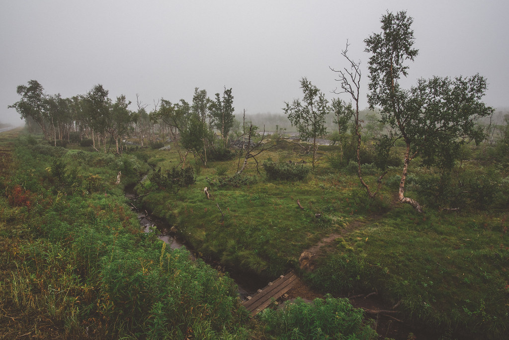
little bridge
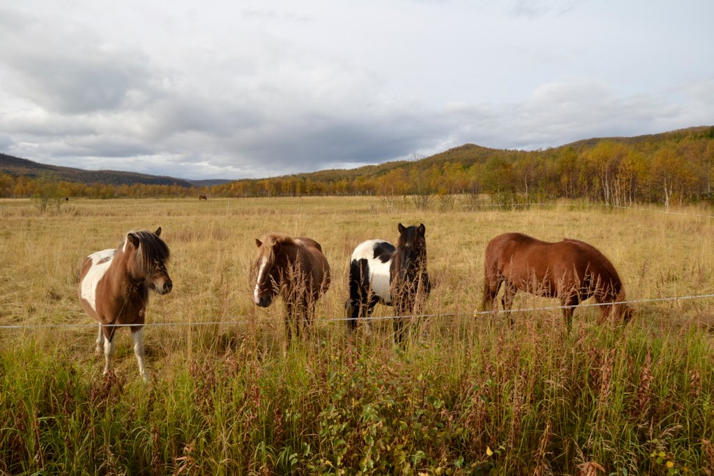
Hestene til Maria
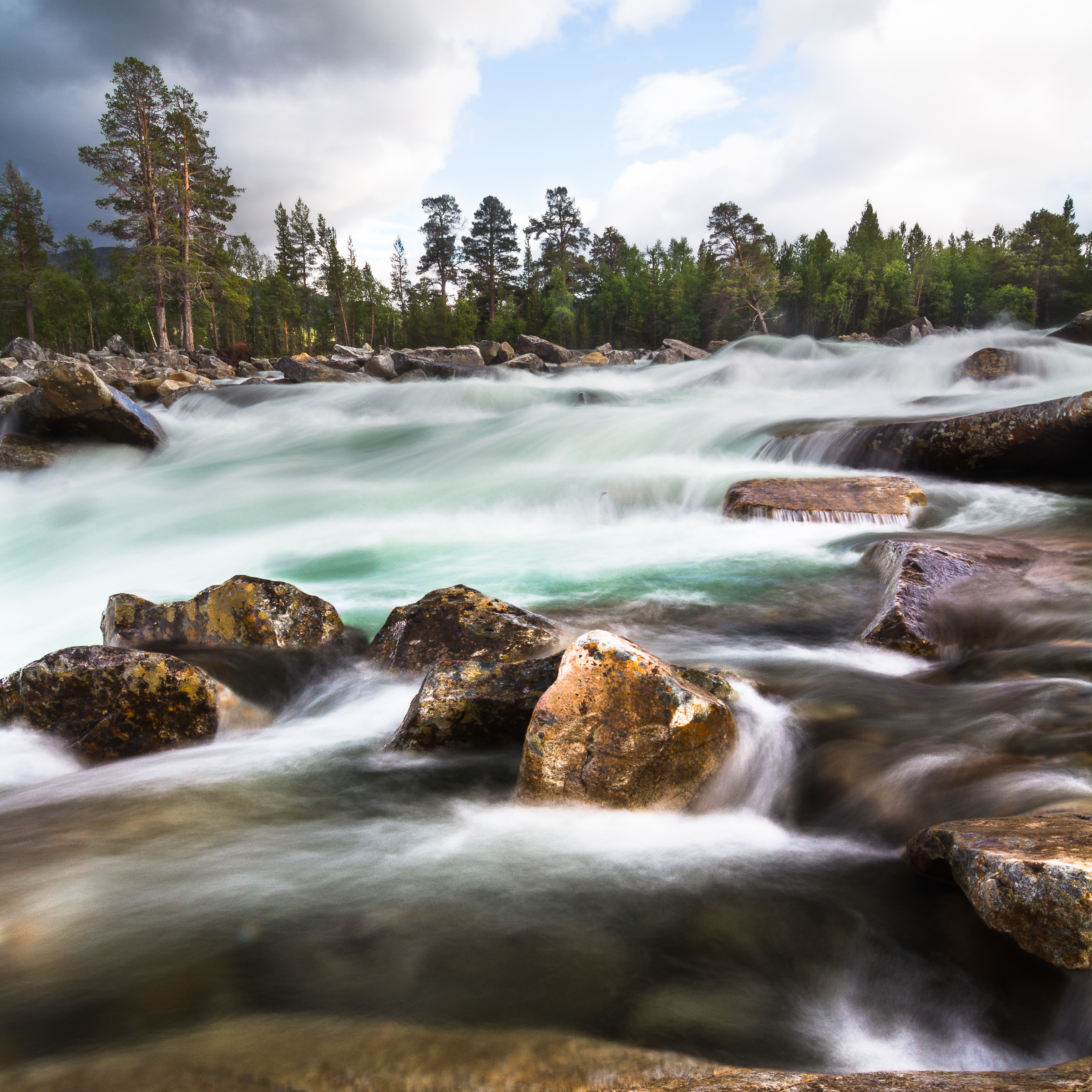
Lønselva

Autumn in arctic
05.04_Z000170_2013.06.01_11.46.38_B00638_3R

On the edge
Waiting for the snow...
_DSC9525.jpg

senza titolo-478.jpg
Topographic Map of Rv77, Røkland, Norway
Find elevation by address:

Places near Rv77, Røkland, Norway:
Recent Searches:
- Elevation of Eldorado do Sul - RS, Brazil
- Elevation of Eldorado do Sul - Parque Eldorado, Eldorado do Sul - RS, -, Brazil
- Elevation of 35 Governors Ln, Hilton Head Island, SC, USA
- Elevation of Orangevale, CA, USA
- Elevation of Doe Cir, Clinton, OH, USA
- Elevation of Narhe, Pune, Maharashtra, India
- Elevation of Martins Mill Ct, Eagle Rock, NC, USA
- Elevation of Kippen, Stirling FK8, UK
- Elevation of Sieveringer Straße, Sieveringer Str., Wien, Austria
- Elevation of Bratskaya Ulitsa, 24, Kurgan, Kurganskaya oblast', Russia