Elevation of Ruth B Rural Township, MO, USA
Location: United States > Missouri > Stone County >
Longitude: -93.449834
Latitude: 36.6135966
Elevation: 284m / 932feet
Barometric Pressure: 98KPa
Elevation Map:
Satellite Map:
Related Photos:
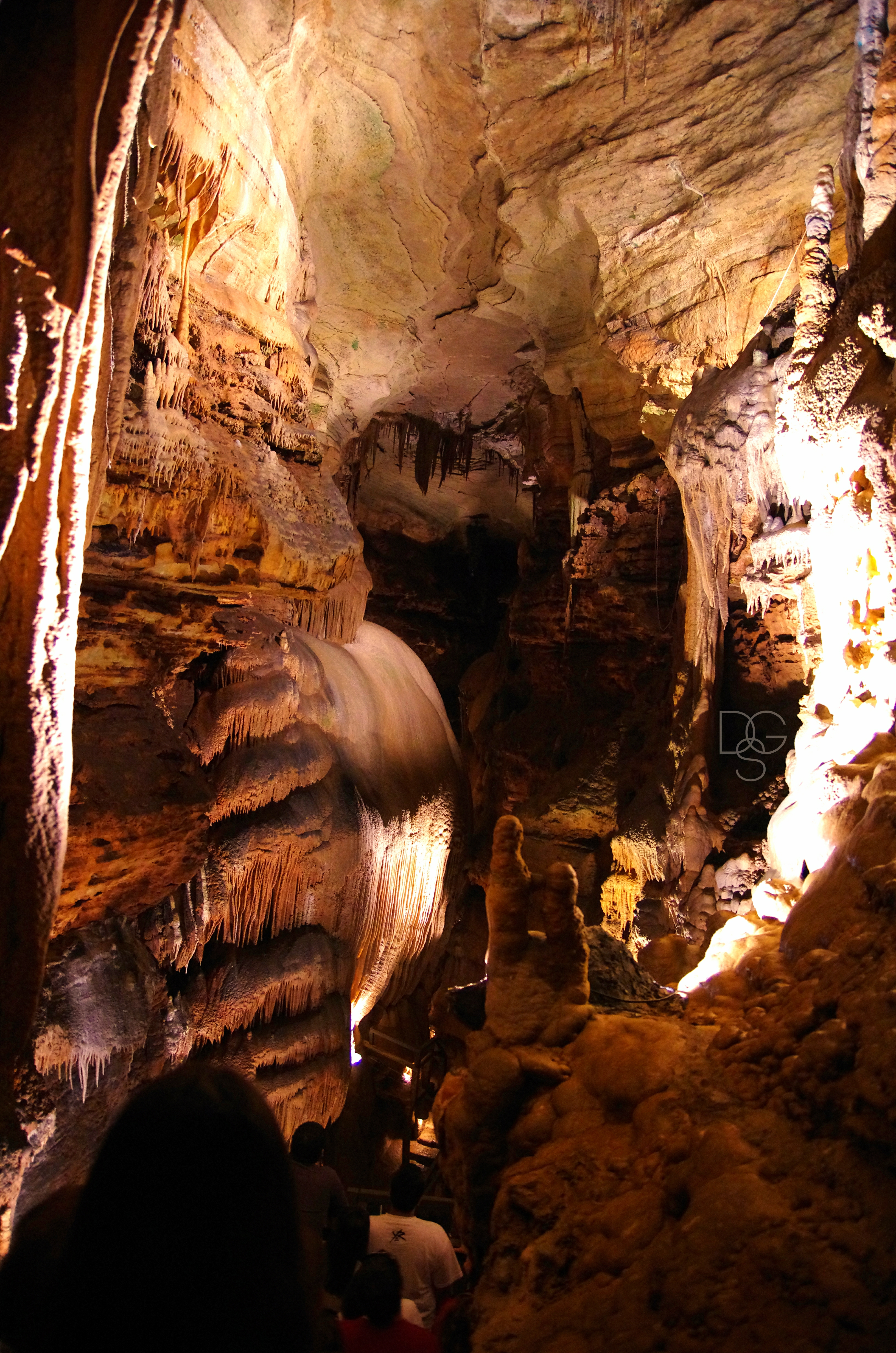
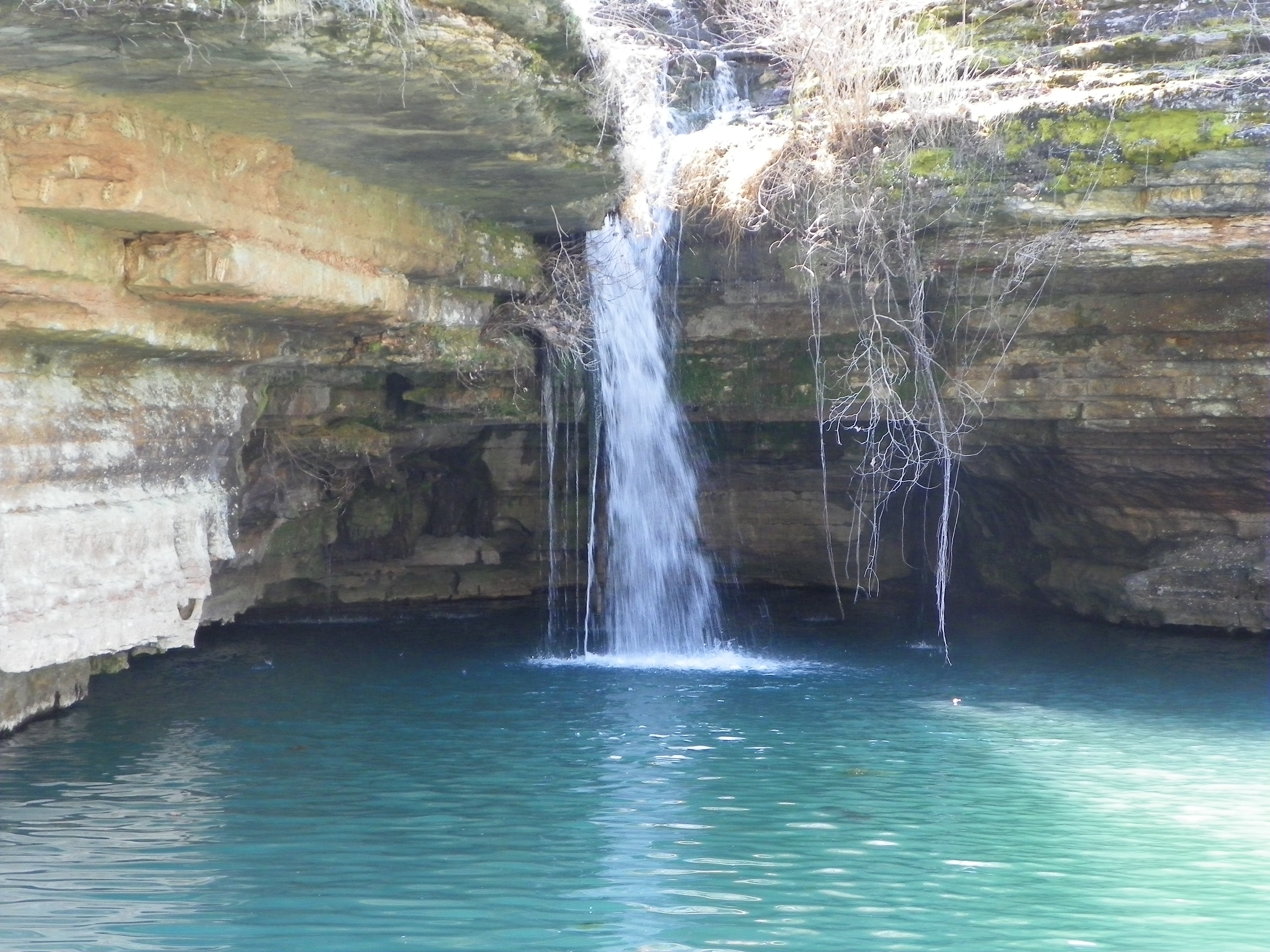
Talking Rocks Cavern II: First View
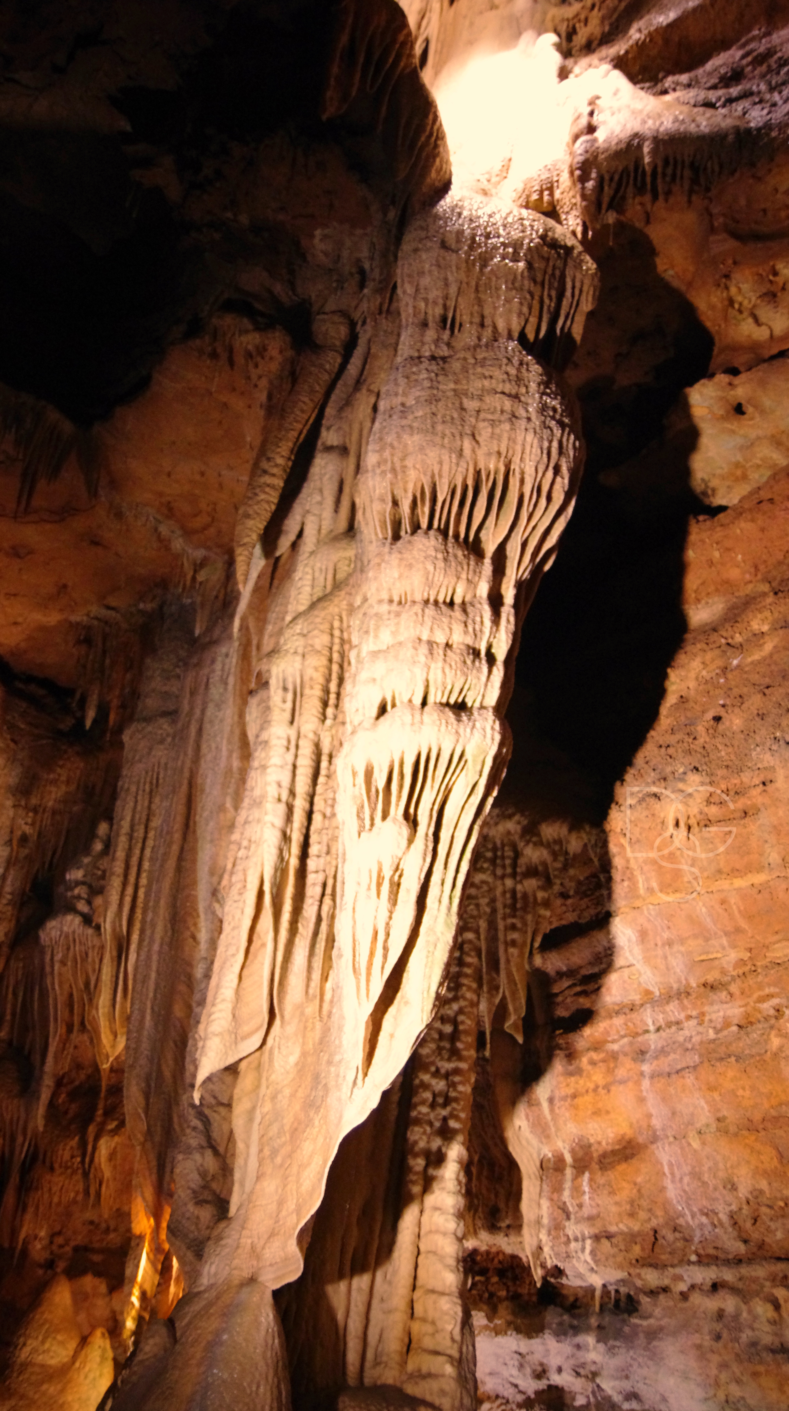
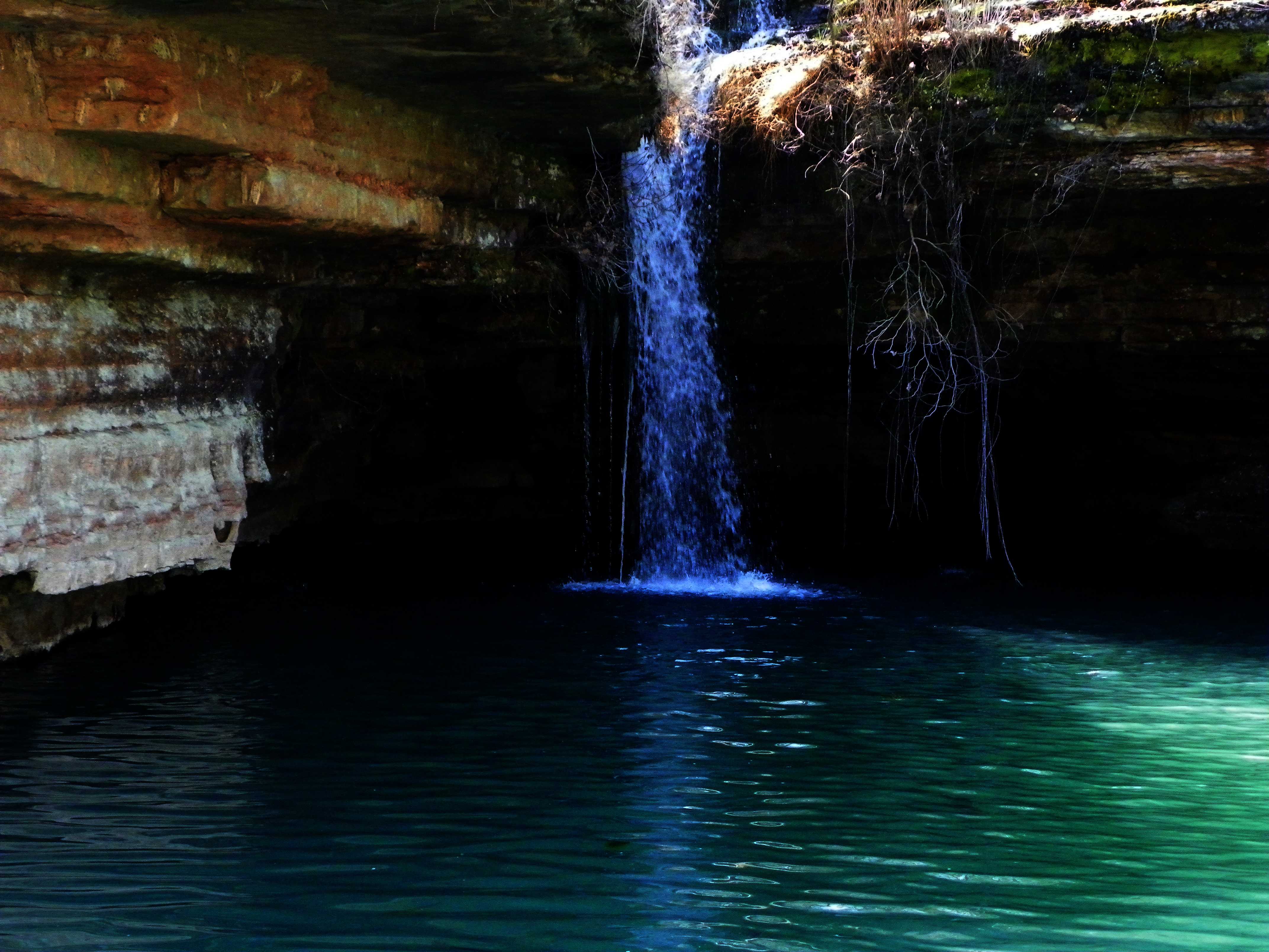
Talking Rocks Caverns VII: Angel Angle

Lady of The Lake
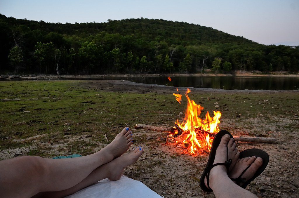
Piney Creek Wilderness - Campfire

Piney Creek Wilderness - Campfire
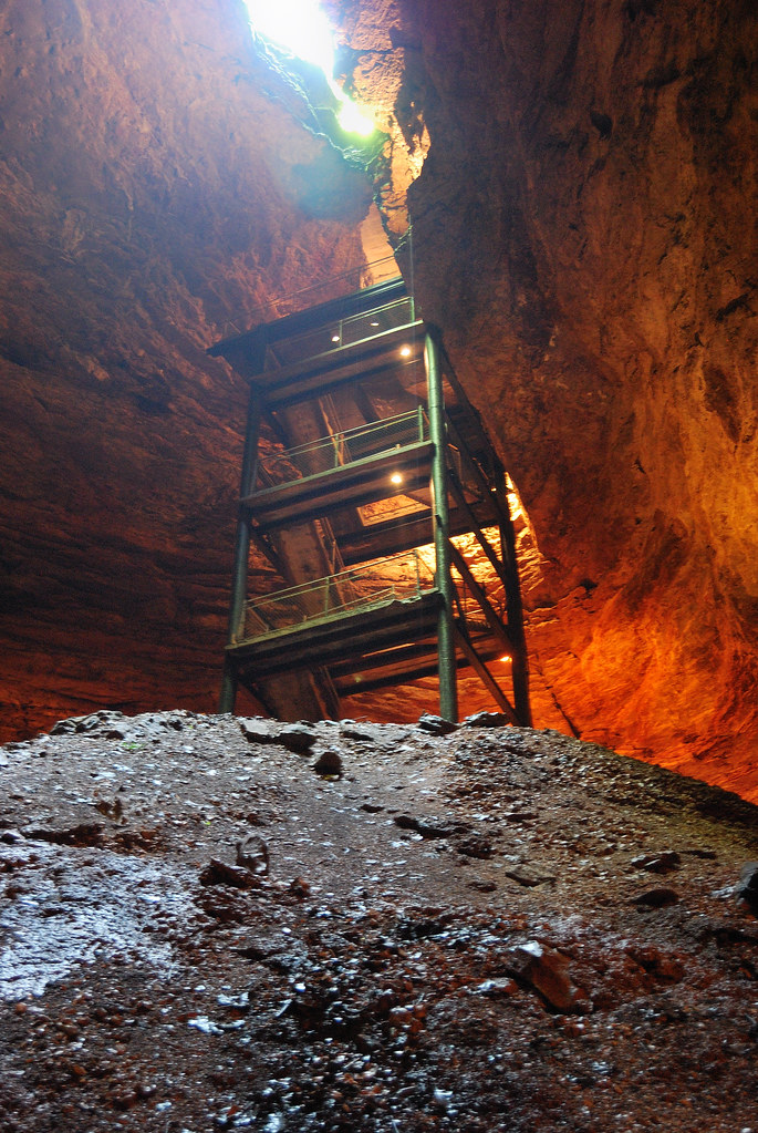
Marvel Cave - Cathedral Room

Covered Bridge in Dogwood Canyon
view from room
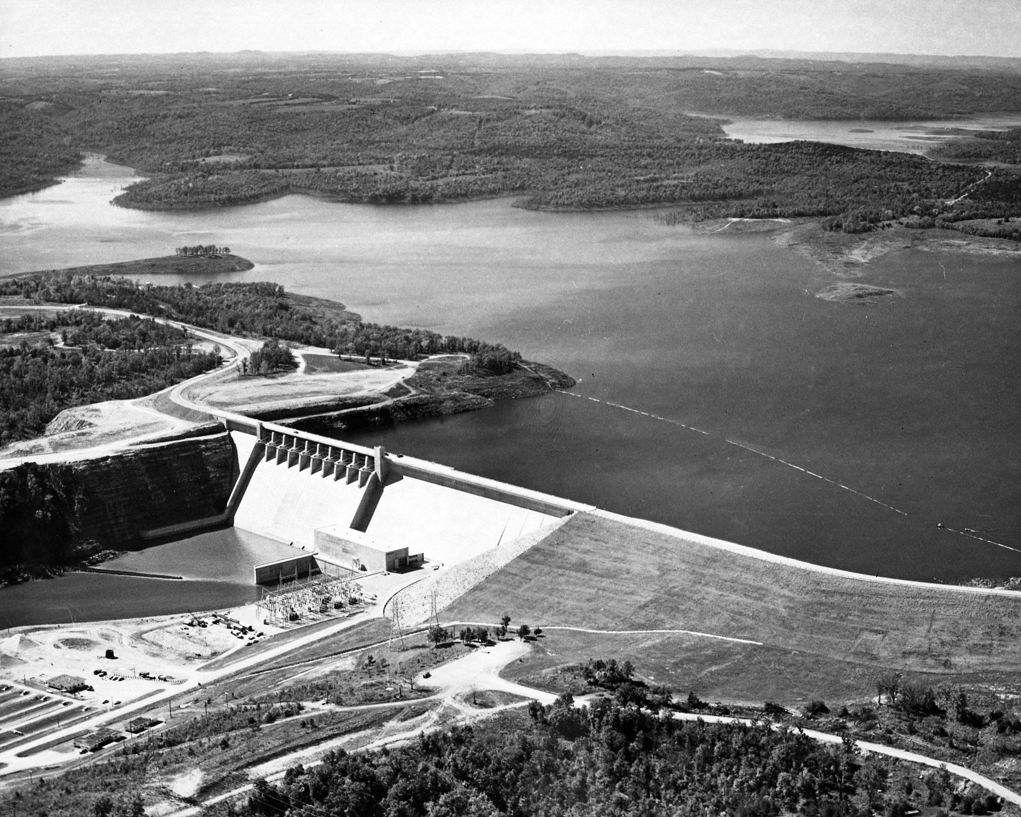
Table Rock Dam (MSA)

Marvel Cave - Cathedral Room
3am Break
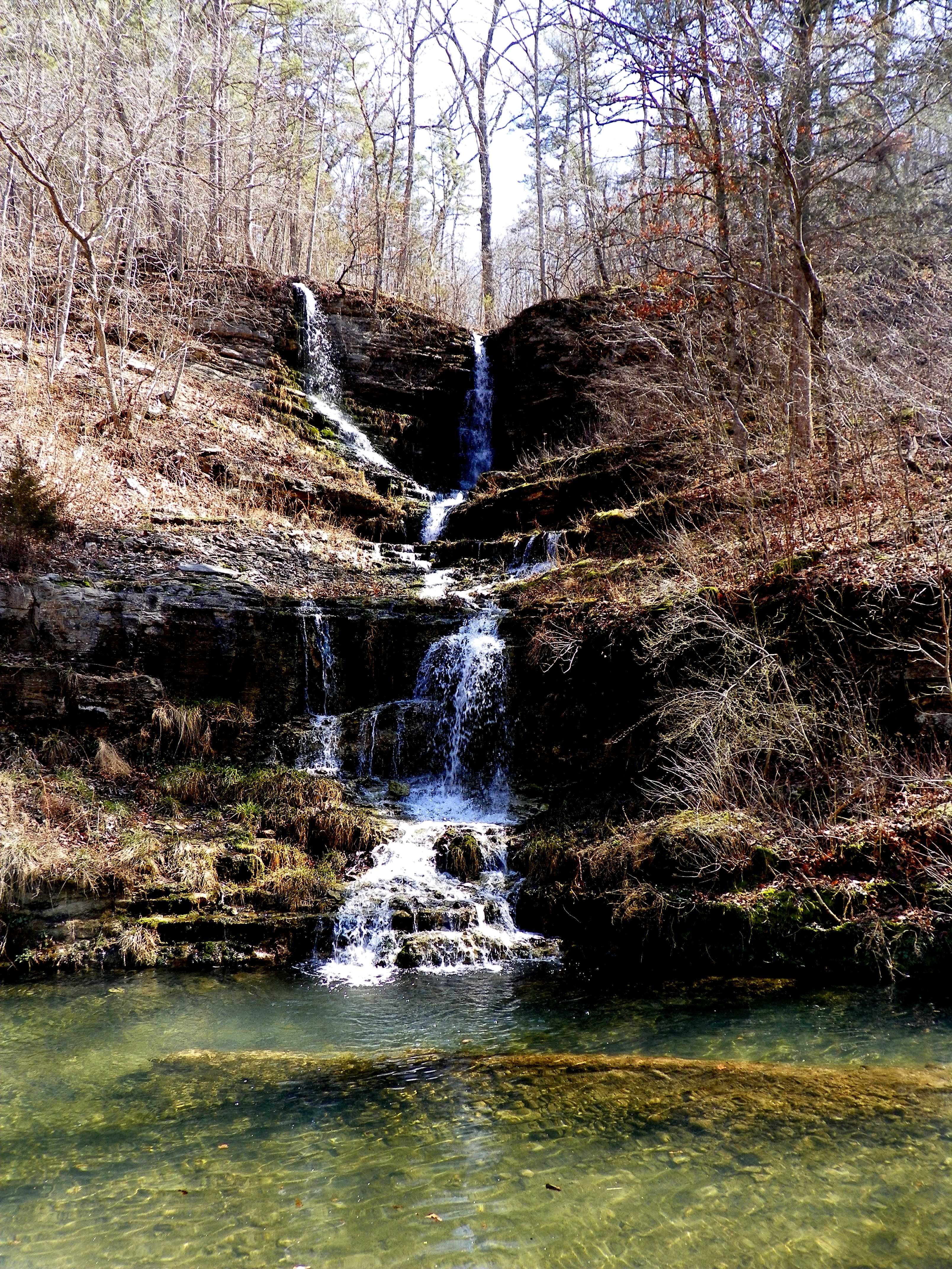
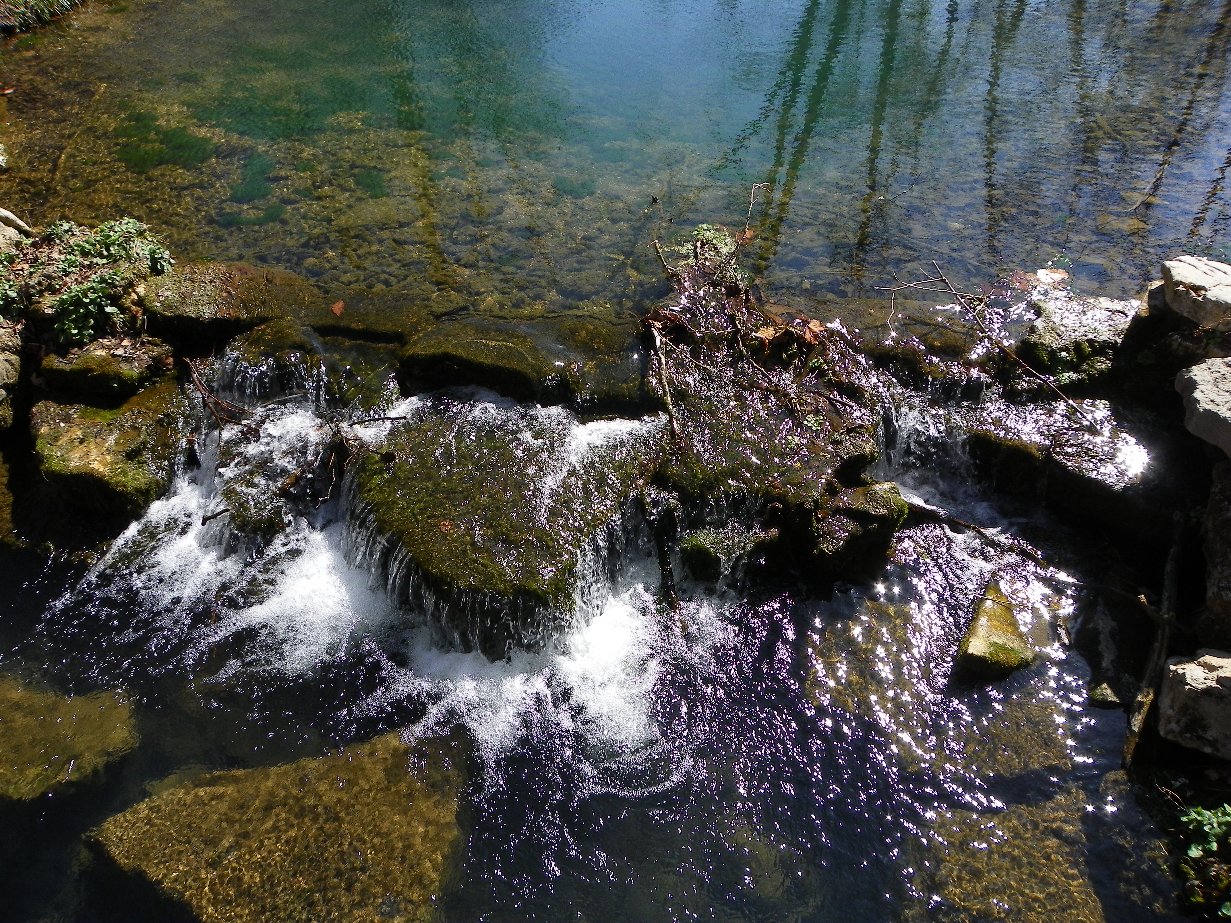
Wildfire Fall
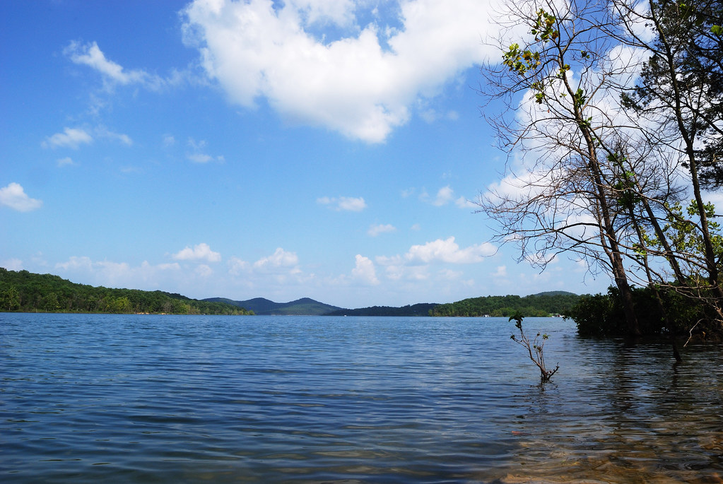
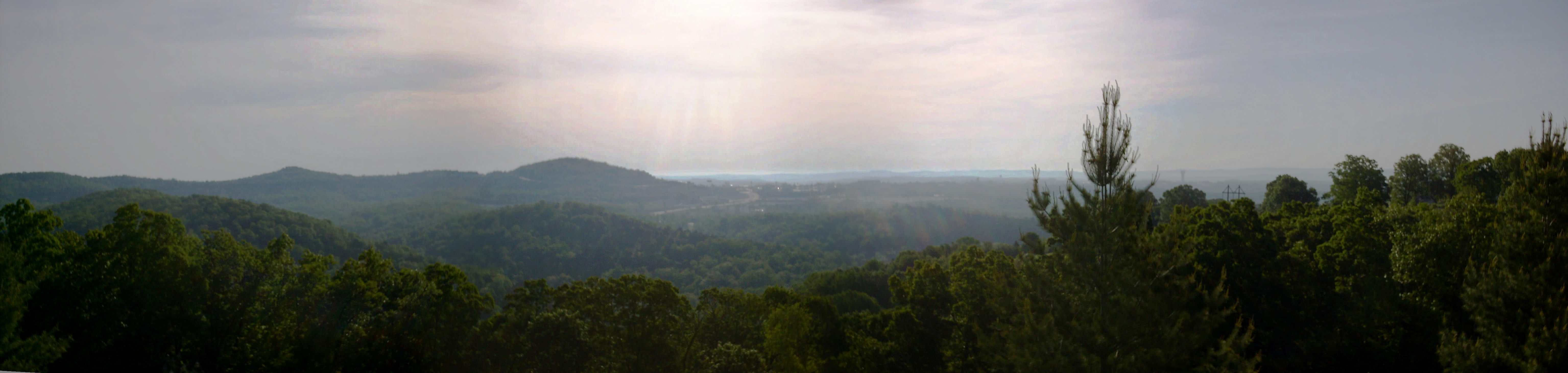
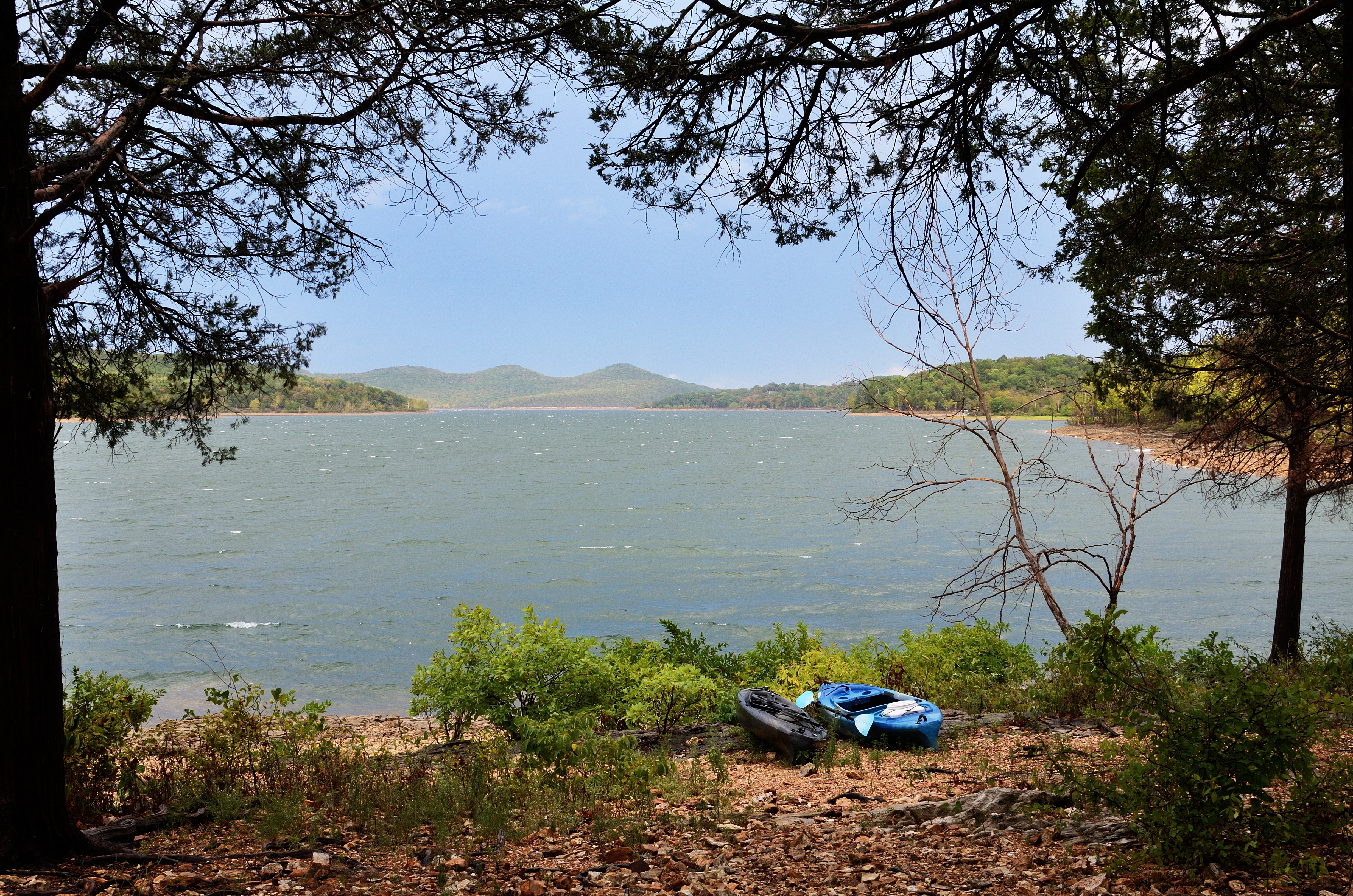
Table Rock Lake, Missouri

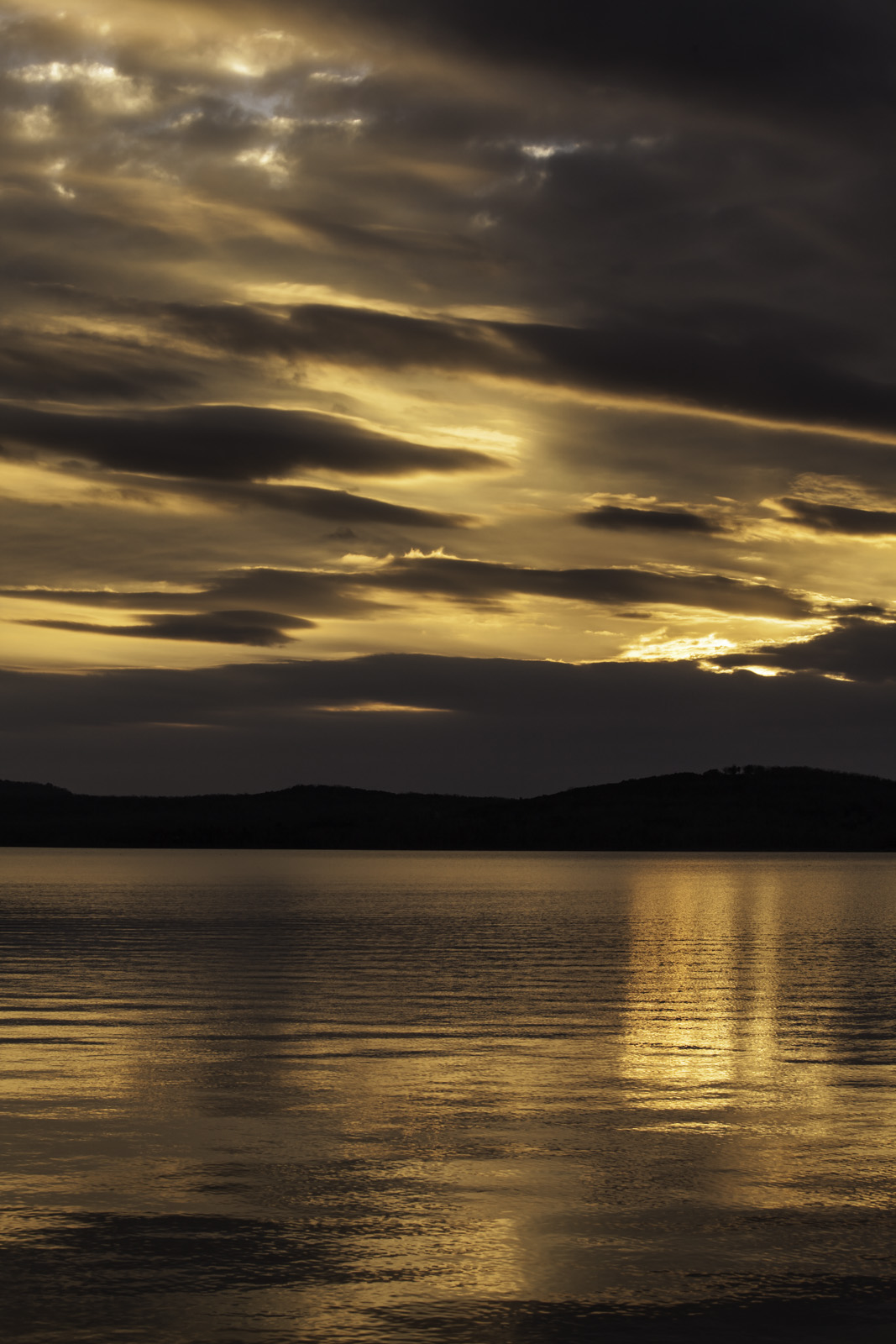
Branson Sunrise
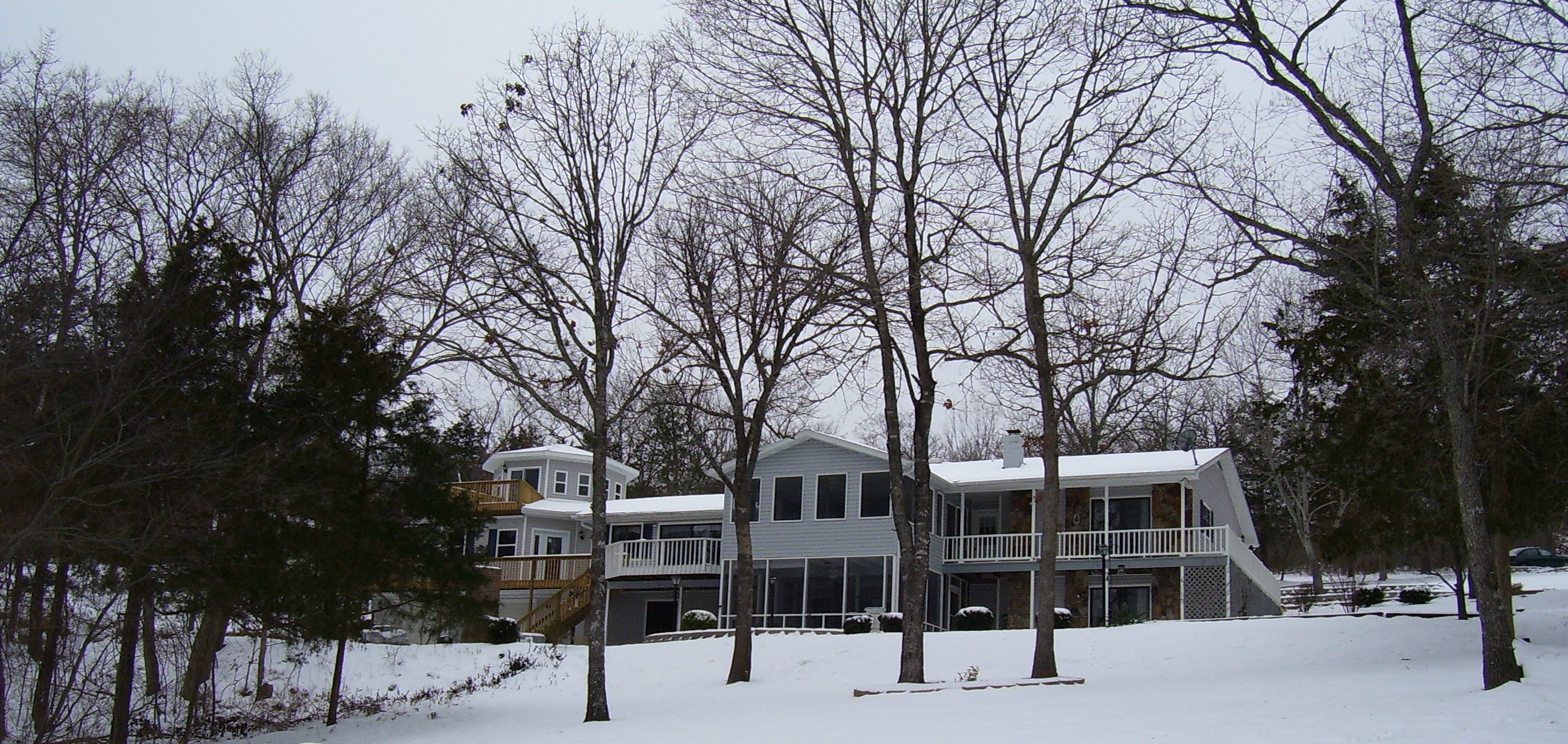
Freshly fallen snow

View from the Tent - Big Bay Campground

Big Bay Campground, Campsite No. 27 view to the east over Table Rock Lake
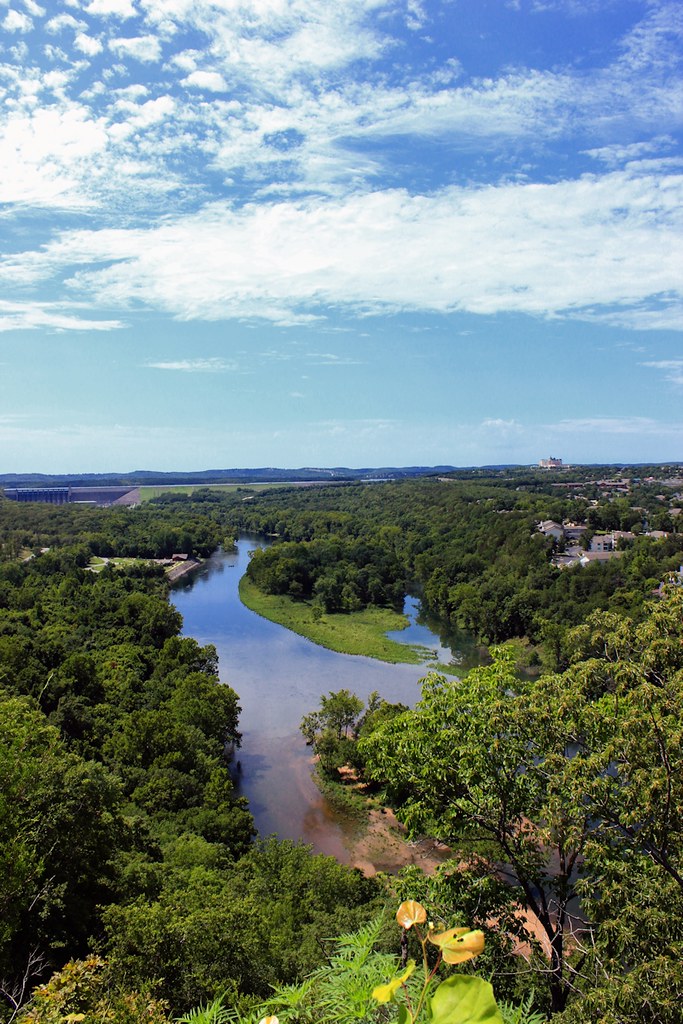
White River

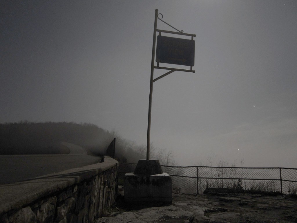
Moody Day
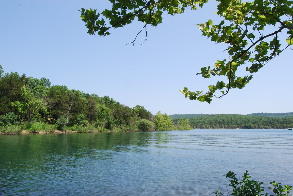
Table Rock Lake from Big Bay Campsite
Big Bay Campground, Campsite No. 27 view to the east over Table Rock Lake

Table Rock Lake, Branson, Mo.

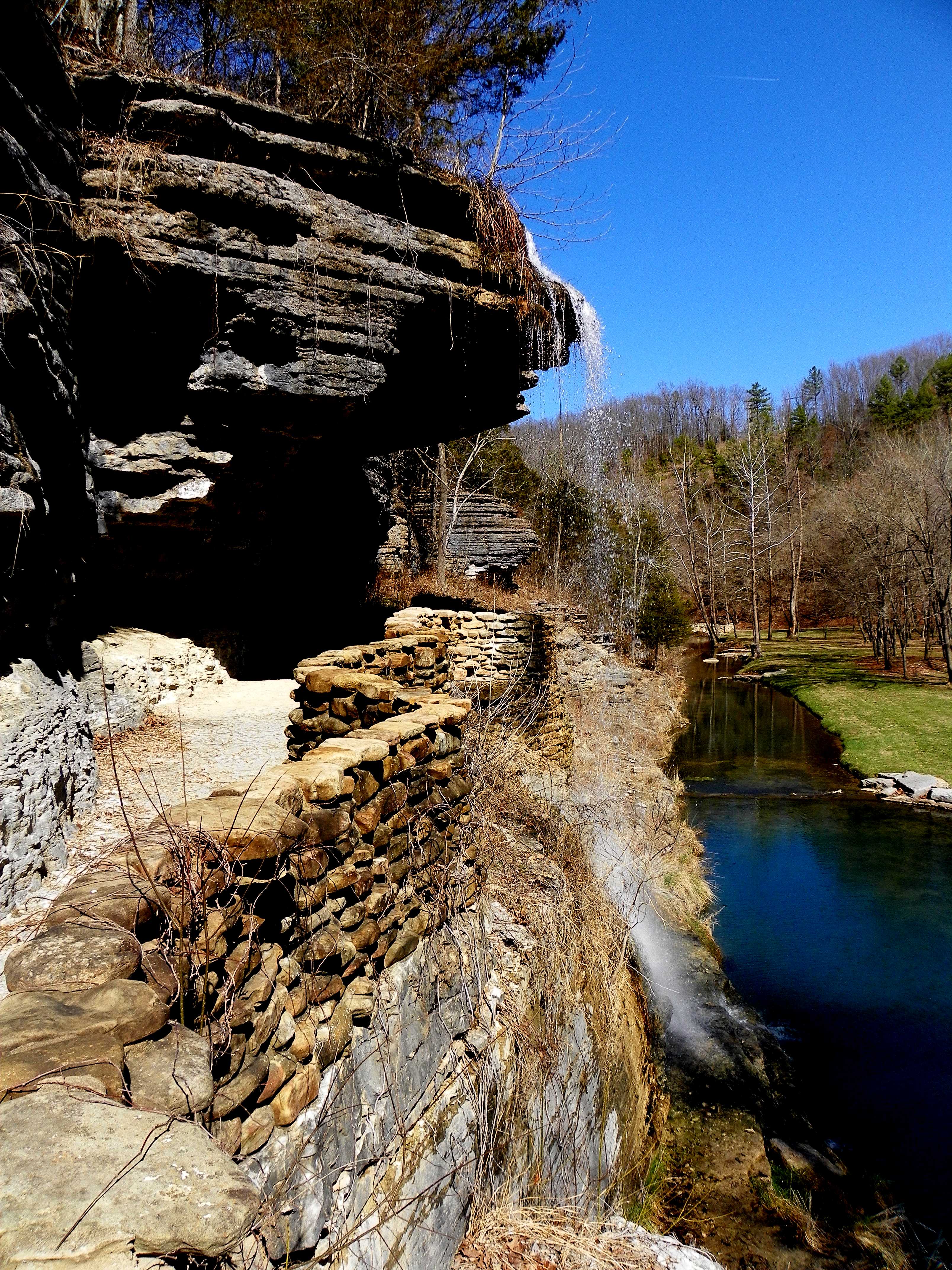
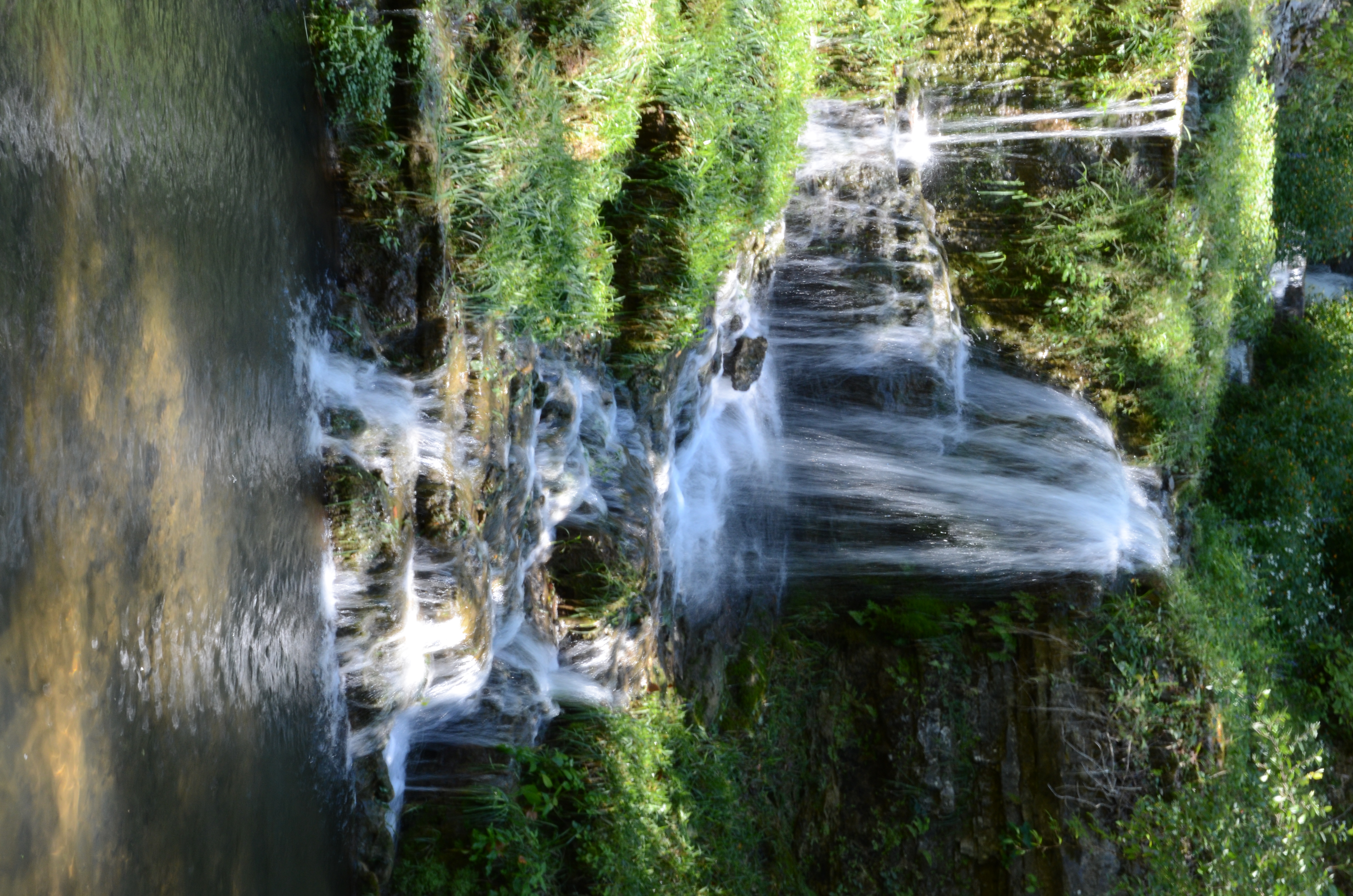
Dogwood Canyon Nature Park - Lampe, Missouri

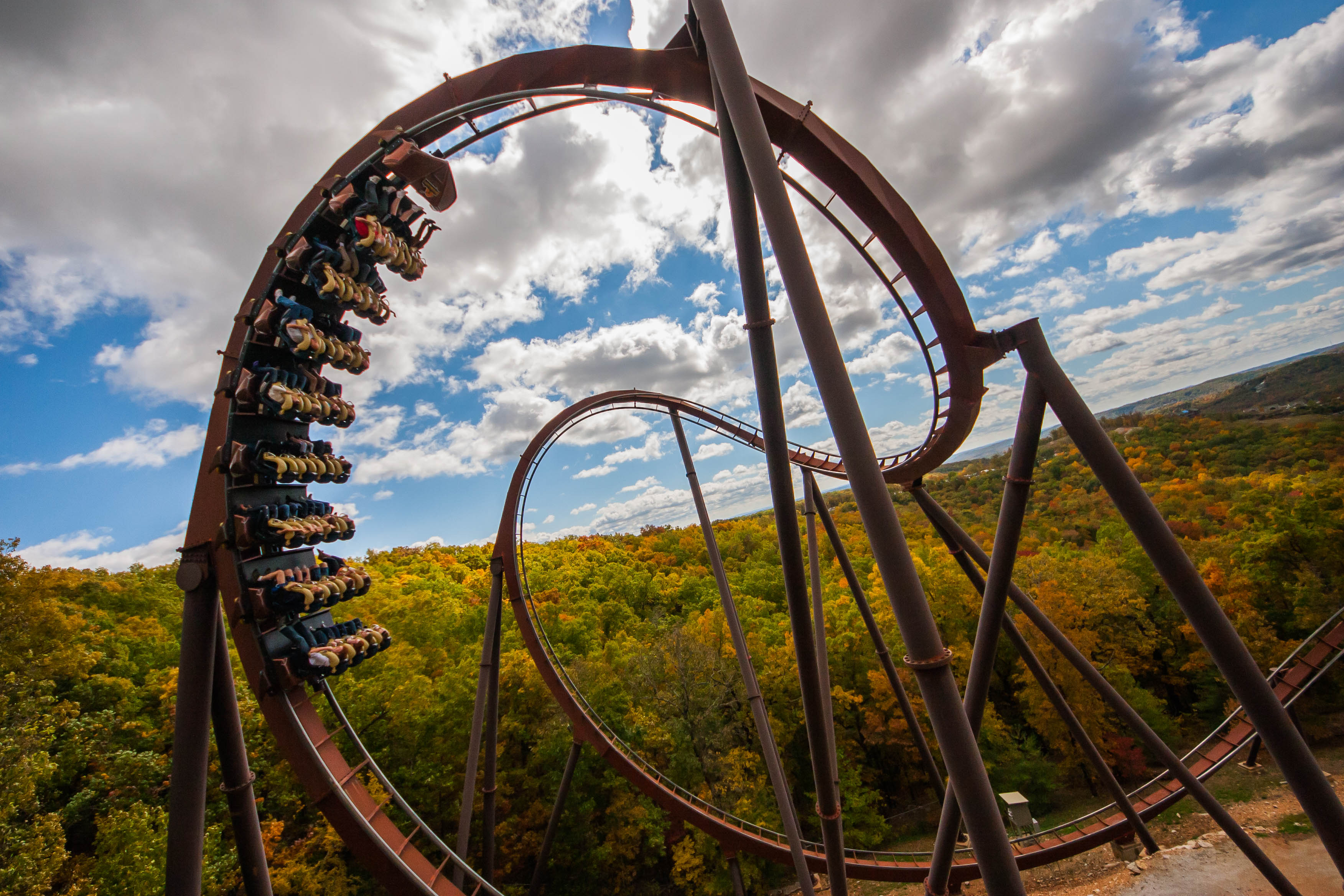
'Scattered Colors' ~ Branson, MO

Dark Branches Reaching Toward a Starry Night
Dogwood Canyon Nature Park - Lampe, Missouri
Dogwood Canyon Nature Park - Lampe, Missouri
Dogwood Canyon Nature Park - Lampe, Missouri
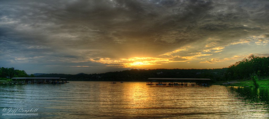
Sunset over Table Rock Lake
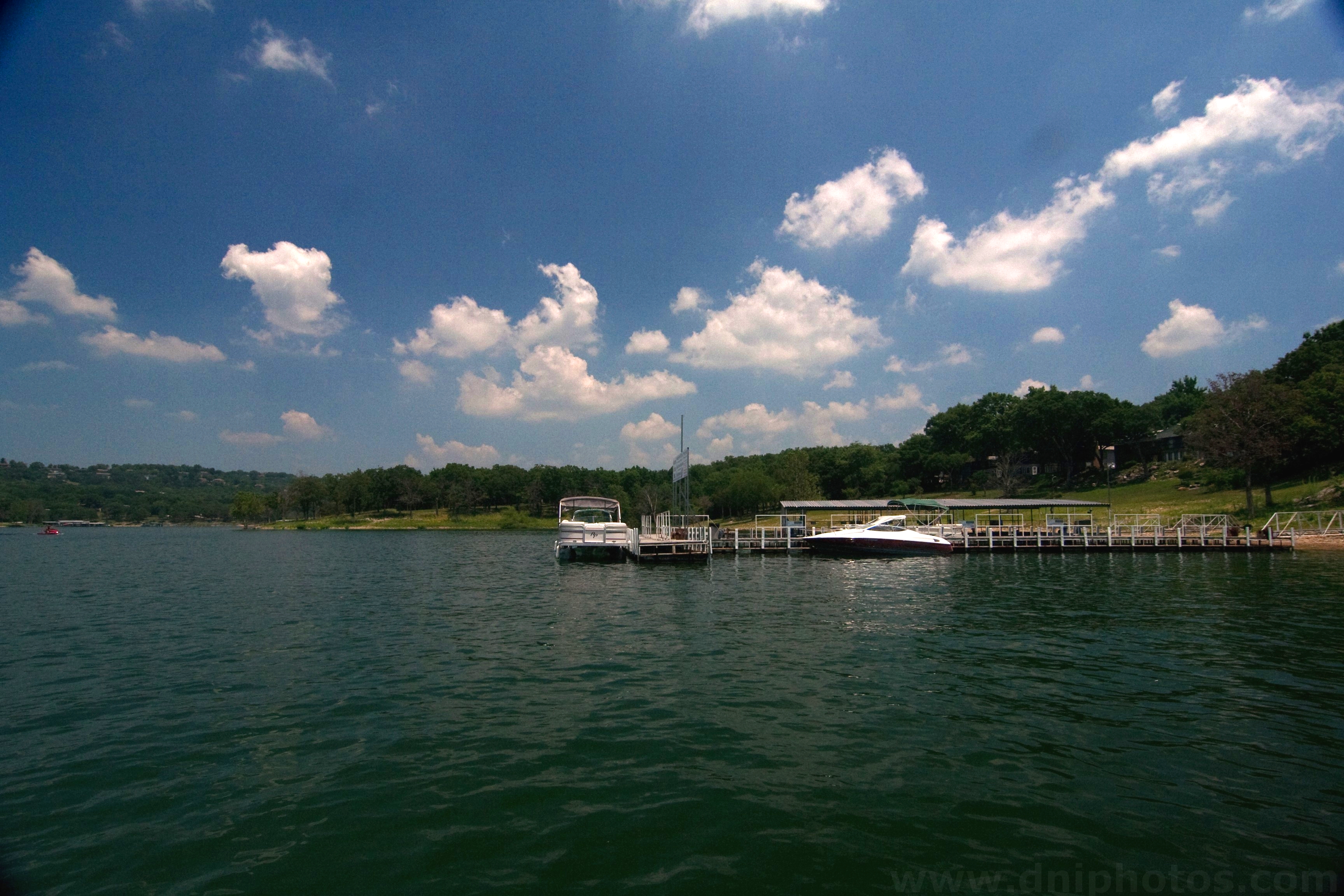
Table Rock dock
Dogwood Canyon Nature Park - Lampe, Missouri
Table Rock Lake at Piney Creek Wilderness

Sunrise at Lake
Dogwood Canyon Nature Park - Lampe, Missouri
Dogwood Canyon Nature Park - Lampe, Missouri
Sunset at Table Rock
Dogwood Canyon Nature Park - Lampe, Missouri

Dogwood Canyon Nature Park - Lampe, Missouri
Dogwood Canyon Nature Park - Lampe, Missouri
Dogwood Canyon Nature Park - Lampe, Missouri

summer lake day. boom.
Topographic Map of Ruth B Rural Township, MO, USA
Find elevation by address:

Places near Ruth B Rural Township, MO, USA:
347 Lakefront Cir
179 Deer Park Cir
62 Sunny View Ln
29 Kings Row
367 Summer Rd
146 Ozark Mountain Resort Dr
30 Hickory Dr
Mill Creek Shores Lane
Mill Creek Shores Lane
98 Irish Hills Blvd
98 Irish Hills Blvd
98 Irish Hills Blvd
98 Irish Hills Blvd
98 Irish Hills Blvd
98 Irish Hills Blvd
Ruth B City Township
Kimberling City
Irish Hills Boulevard
7 Table Rock Heights
5 Bass Ave, Kimberling City, MO, USA
Recent Searches:
- Elevation of Unnamed Road, Respublika Severnaya Osetiya — Alaniya, Russia
- Elevation of Verkhny Fiagdon, North Ossetia–Alania Republic, Russia
- Elevation of F. Viola Hiway, San Rafael, Bulacan, Philippines
- Elevation of Herbage Dr, Gulfport, MS, USA
- Elevation of Lilac Cir, Haldimand, ON N3W 2G9, Canada
- Elevation of Harrod Branch Road, Harrod Branch Rd, Kentucky, USA
- Elevation of Wyndham Grand Barbados Sam Lords Castle All Inclusive Resort, End of Belair Road, Long Bay, Bridgetown Barbados
- Elevation of Iga Trl, Maggie Valley, NC, USA
- Elevation of N Co Rd 31D, Loveland, CO, USA
- Elevation of Lindever Ln, Palmetto, FL, USA